The best cycling routes around Ahorntal
4.7
(149)
691
riders
69
rides
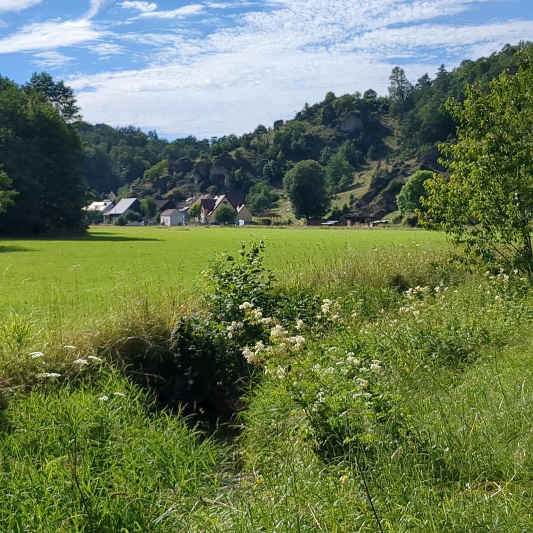
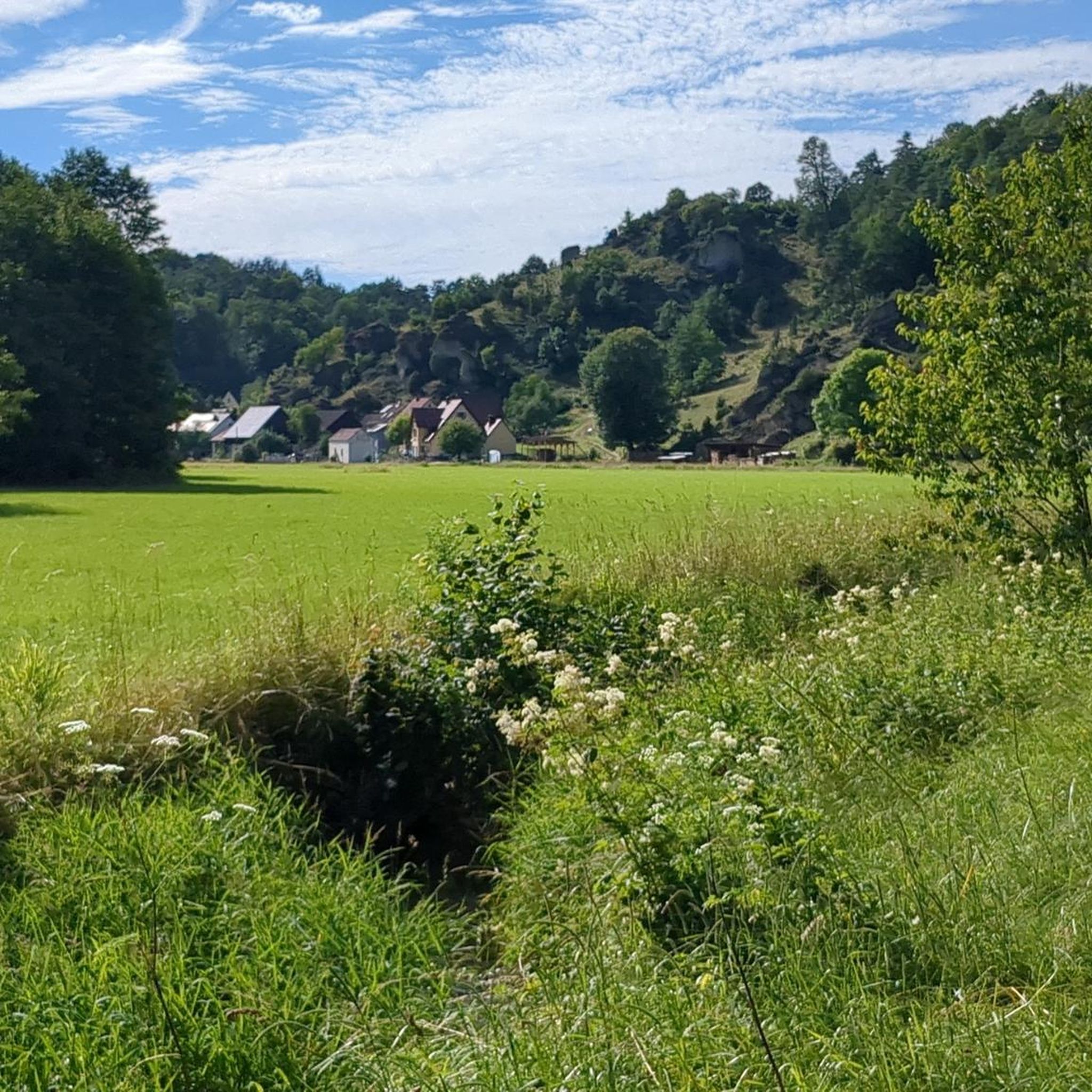
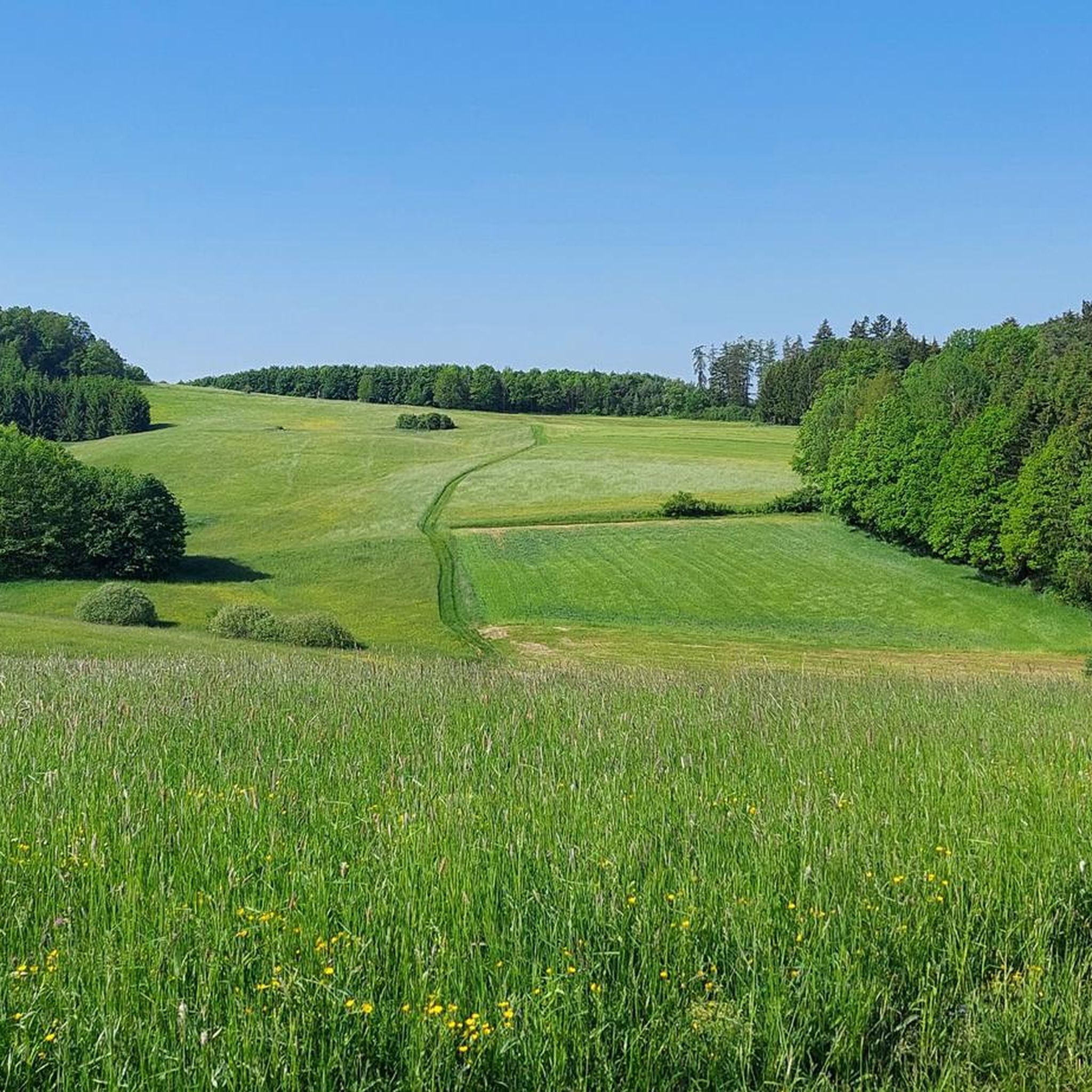
Touring cycling around Ahorntal offers a diverse landscape within Franconian Switzerland. The region features wide valleys, dramatic rock formations, and dense forests, providing varied terrain for cycling. The Ailsbachtal, a narrow valley with rugged rock formations and the Ailsbach stream, is a notable natural feature. Expansive forests and idyllic river valleys contribute to the tranquil environment for cycling routes.
Best touring cycling routes around Ahorntal
- The most popular touring cycling route is Old Railway Bridge, Plankenfels – Obernsees loop from…
Last updated: July 3, 2026
4.4
(9)
52
riders
36.7km
02:25
330m
330m
Hard bike ride. Good fitness required. You may need to push your bike for some segments of this route.
4.8
(22)
72
riders
50.0km
03:31
560m
560m
Hard bike ride. Very good fitness required. Mostly paved surfaces. Suitable for all skill levels.

Sign up for free
4.9
(7)
41
riders
25.3km
01:43
430m
430m
Moderate bike ride. Good fitness required. Mostly paved surfaces. Suitable for all skill levels.
5.0
(1)
27
riders
23.8km
01:51
330m
330m
Hard bike ride. Good fitness required. You may need to push your bike for some segments of this route.
4.7
(9)
23
riders
Moderate bike ride. Good fitness required. Mostly paved surfaces. Suitable for all skill levels.
Get access to more routes and recommendations from other explorers.
Sign up for free
Already have an account?
Our route recommendations are based on thousands of hikes, rides, and runs completed by other people on komoot.
Start today with a free account
Your next adventure awaits.
Login or Signup
Popular around Ahorntal
Ultratrail Fränkische Schweiz – 2 Days Burgen, Wälder, Trails
Hikes for tiny boots – VGN recreational activities for families
Franconian Switzerland — on the trace of the Purity Law
Hiking around Ahorntal
Road Cycling Routes around Ahorntal
MTB Trails around Ahorntal
Gravel biking around Ahorntal
Running Trails around Ahorntal
Mountain Hikes around Ahorntal
Other adventures around Ahorntal


Tips from the Community

Truppach and Mengersdorf are neighboring districts of the municipality of Mistelgau. Truppach is primarily known for its historic castle, a former moated castle from the 14th century. In adjacent Mengersdorf, the St. Otto Church and a historic manor farm form the cultural centers. The region in the Truppach valley is a popular destination for hikers, especially due to attractions such as the WaldLebensWeg or the nearby Tafelberg Neubürg.
0
0
The Schwalbenloch is a striking rock formation and cave in the idyllic Mariental valley near Pottenstein in Franconian Switzerland. It is particularly known for its impressively large portal, but does not penetrate deep into the rock. The cave entrance, with a width of about 12 meters and a height of around 5 meters, is one of the largest in the Franconian Jura. "Big mouth and nothing behind it": Despite the massive entrance, the cave is only very shallow. The floor meets the ceiling after a short distance, making deeper penetration impossible. A narrow, partly steep path leads from the valley trail up to the cave. However, this path is closed due to nature conservation. Corresponding signs are posted directly on the path and should, of course, be observed. Above the cave, there is a rock plateau with a table and bench, offering a fantastic view over the Mariental valley towards Pottenstein Castle.
0
0

Tüchersfeld is the typical Franconian "showcase town" with its striking rocks and the location of the half-timbered houses, which in some cases seem to be glued to the rocks.
9
0
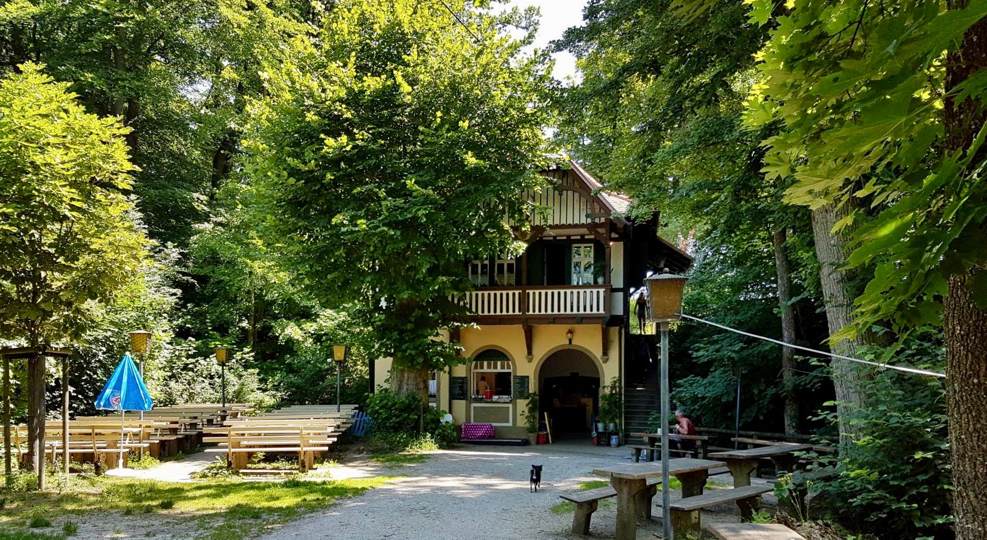
The Held inn and brewery in Oberailsfeld has been family-owned for over 300 years, and they definitely serve some of the best beers from our Upper Franconian brewers. Besides a Helles, a Dunkel, a Pilsner, and a Hefeweizen, they also offer a delicious Bock beer on tap during Lent, and a full-bodied Weizenbock during Advent. In summer, an idyllic beer garden invites you to cool off and enjoy a refreshing drink.
7
0


The Bayreuth–Hollfeld railway line was a branch line. It branched off the Schnabelwaid–Bayreuth railway line at the Kreuzstein junction in Bayreuth and led to Hollfeld in northern Franconian Switzerland.
1
0

Large self-service beer garden with a clear menu… but you sit quite comfortably
8
0

Pottenstein is a town in the Bayreuth district. This tourist hotspot and state-recognized climatic health resort is located in Franconian Switzerland.
2
0
Frequently Asked Questions
How many touring cycling routes are available in Ahorntal?
Ahorntal offers a wide selection of touring cycling routes, with over 60 routes available. These range in difficulty from easy to difficult, ensuring options for various skill levels.
What kind of terrain can I expect on touring cycling routes in Ahorntal?
The terrain in Ahorntal is quite diverse, featuring wide, serene valleys, dramatic rock formations, and dense forests. You'll encounter both gentle paths through idyllic river valleys like the Ailsbachtal and more challenging sections with varied elevation, reflecting the region's unique topography within Franconian Switzerland.
Are there any easy touring cycling routes suitable for beginners or families in Ahorntal?
Yes, Ahorntal has 10 easy touring cycling routes. While specific family-friendly routes aren't detailed, the presence of easy options suggests suitable paths for those new to touring cycling or looking for a more relaxed ride. These routes often follow well-maintained paths through valleys and forests.
What are some scenic viewpoints or natural attractions I can visit along the cycling routes?
Ahorntal is rich in natural beauty. You can find impressive rock formations, such as those in the Ailsbachtal, and several notable caves like the Sophienhöhle and Devil's Cave. For panoramic views, consider routes that pass by observation points like the Hohes Kreuz Observation Tower or the Kleiner Kulm Observation Tower. The region also features several waterfalls, including the Devil’s Hole Waterfalls and Wedenbach tufa terraces and waterfall.
Are there any circular touring cycling routes in Ahorntal?
Many touring cycling routes in Ahorntal are designed as loops, allowing you to start and end at the same point. For example, the moderate Pottenstein Old Town – View of Pottenstein loop from Glashüttener Forst offers a scenic circular ride. Another option is the difficult View Over Kirchahorn – Gentle Ascent in the Forest loop from Ahorntal.
What do other touring cyclists say about the routes in Ahorntal?
The touring cycling routes in Ahorntal are highly regarded by the komoot community, with an average score of 4.7 stars from over 130 reviews. Over 600 touring cyclists have explored the area, often praising the varied terrain, picturesque landscapes, and well-maintained paths that wind through forests and past rock formations.
Can I find routes that pass by historical landmarks or castles?
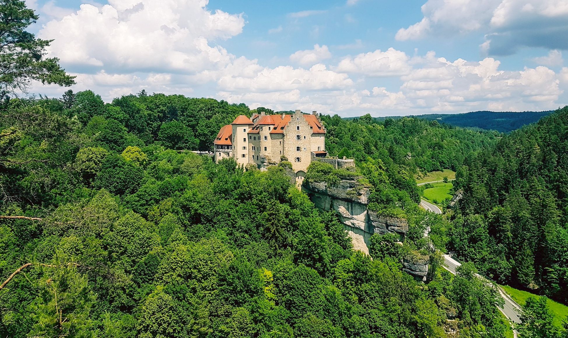
Yes, the region's routes often incorporate historical sites. For instance, Burg Rabenstein, a medieval castle overlooking the Ailsbachtal, is a prominent landmark that many cycling routes pass by, adding a cultural dimension to your ride.
Are there any touring cycling routes that follow rivers or streams?
Absolutely. The Ailsbachtal, with its meandering Ailsbach stream, offers picturesque sections for cycling. A notable route that follows a river is the difficult Örtelfelsen – Wiesent Riverside Trail loop from Ahorntal, which traces the Wiesent river and passes by impressive rock formations.
What is the best time of year to go touring cycling in Ahorntal?
Ahorntal's diverse landscape is enjoyable throughout the warmer months. Spring and autumn offer pleasant temperatures and vibrant scenery, while summer provides longer daylight hours. It's always advisable to check local weather conditions before heading out, as the region's forests and valleys can have varying microclimates.
Are there any routes with views of distant mountain ranges?
Yes, some routes offer expansive views of the surrounding landscape. The difficult View of the Fichtelgebirge – Pond Near Mistelgau loop from Ahorntal is an example of a route that leads through areas providing views of the Fichtelgebirge mountain range.
Are there any routes that feature old railway lines or bridges?
Yes, you can find routes that incorporate historical infrastructure. The difficult Old Railway Bridge, Plankenfels – Obernsees loop from Glashüttener Forst is a route that explores varied terrain, including an old railway bridge, offering a unique historical element to your ride.
Where can I find more information about the Ahorntal region for planning my trip?
For general information about the Ahorntal region and its offerings, you can visit the official tourism website for Franconia: frankentourismus.de. This can help with broader trip planning beyond just cycling routes.
Most popular routes around Ahorntal
Most popular attractions around Ahorntal

Get inspired with the komoot mobile app


Explore more
Browse the best Cycling routes in other regions.
