The 20 Most Amazing Peaks around Val-D'Oronaye
Best mountain peaks around Val-D'Oronaye, located in the Alpes-de-Haute-Provence, offer a diverse natural landscape for exploration. The region features majestic peaks, lush valleys, and varied hiking trails. Prominent peaks include Monte Oronaye (Tête de Moïse), Montagne du Cheval Blanc, and Tête Grosse. These areas provide opportunities to experience high-altitude environments and panoramic views.
Best mountain peaks around Val-D'Oronaye
- The most popular mountain peaks is Colle Greguri (Greguri Pass), a mountain_pass that is the highest pass in the Provençal-Castello group.…
Last updated: May 11, 2026
Colle Greguri (Greguri Pass)
Highlight • Mountain Pass
Translated by Google •
Tip by

Preit Pass
Highlight • Mountain Pass
The climb is quite demanding, with peaks of …
Translated by Google •
Tip by

Sign up now to discover places like this
Get recommendations on the best single tracks, peaks, & plenty of other exciting outdoor places.
Sign up for free
Bonette Summit
Highlight • Summit
Even if you are up there with the bike ...
Translated by Google •
Tip by

Tête de la Frema
Highlight • Summit
Translated by Google •
Tip by

Ciarbonet Pass
Highlight • Mountain Pass
Translated by Google •
Tip by

Sign up for free to discover even more peaks around Val-D'Oronaye.
Sign up for free
Already have an account?
Start today with a free account
Your next adventure awaits.
Login or Signup
Popular around Val-D'Oronaye

Seven MTB routes in the Southern Alps – nature, passes and valleys
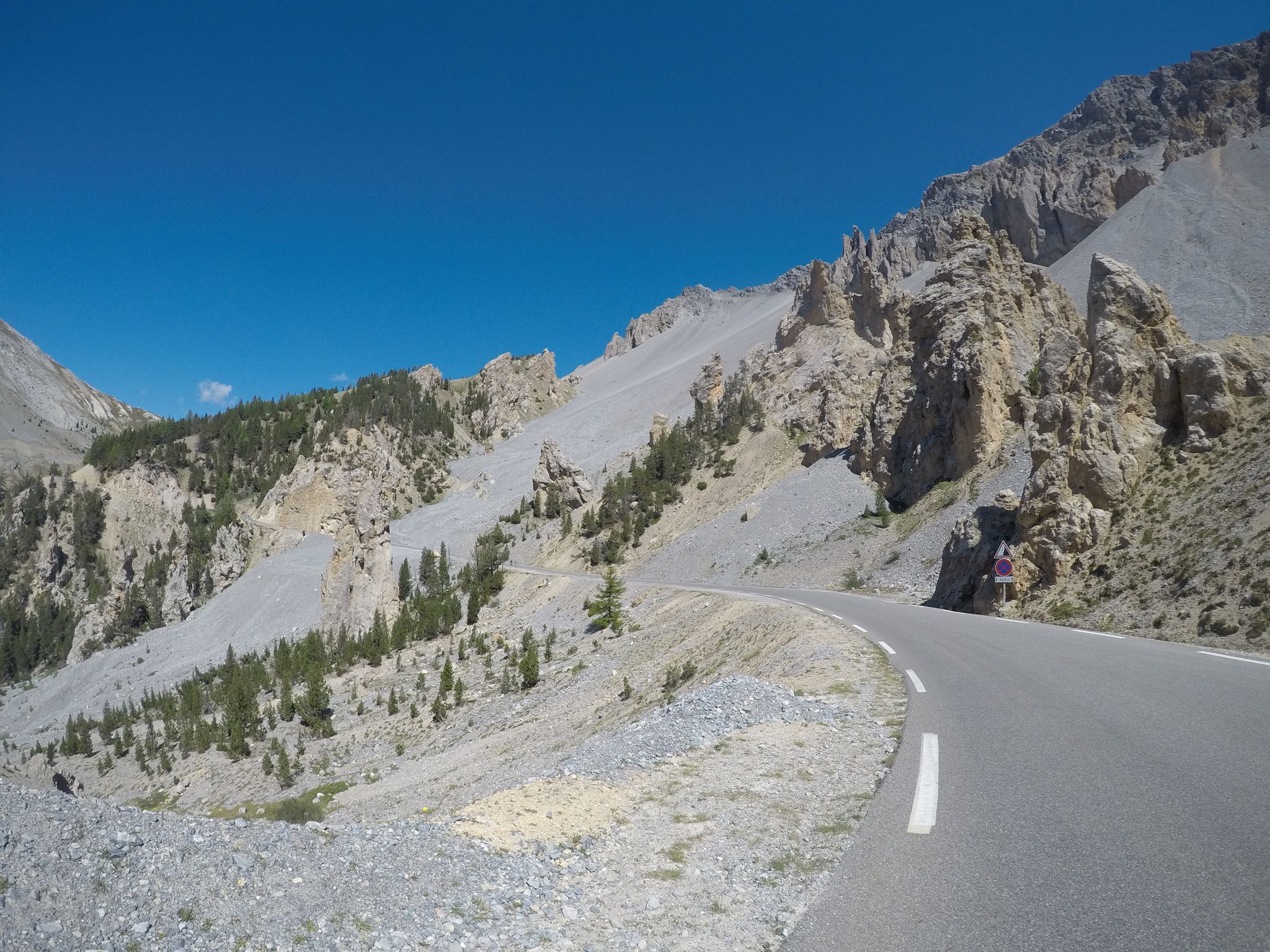
The Cuneo Pinerolo of 1949 – full route
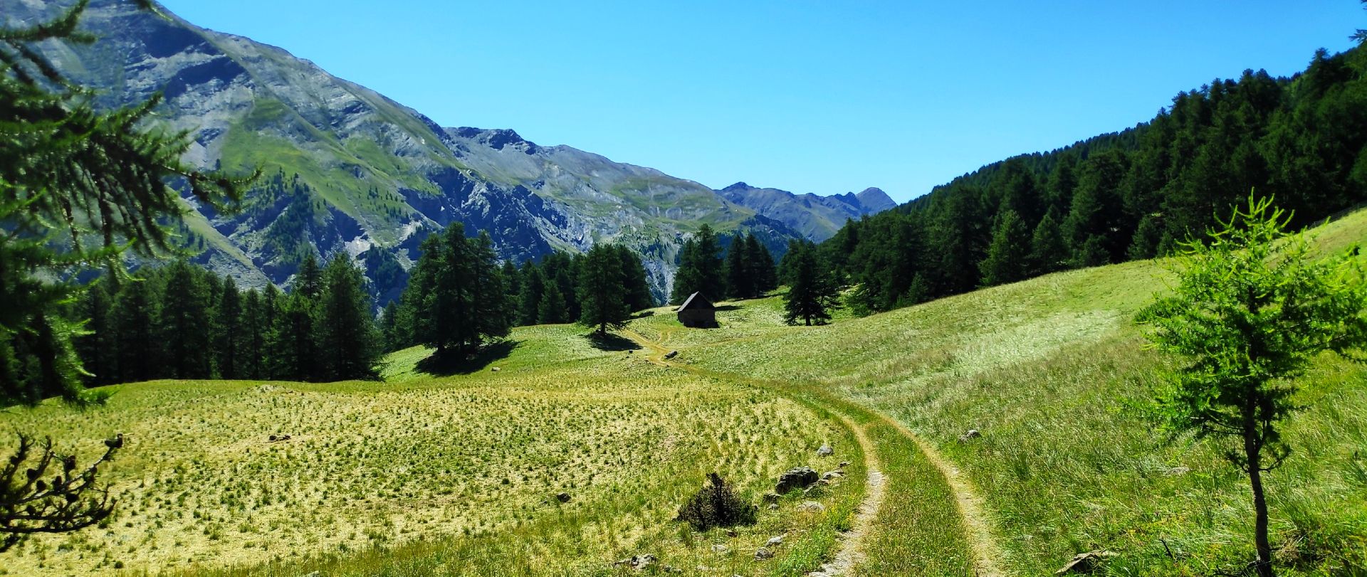
MTB Tour of the Ubaye Valley – La Transubayenne

Hike from Saint-Étienne-de-Tinée to Briançon – Europe Trail (GR 5)

Mountains and marmots — France’s Ubaye trail (GR 56)

MigrAction – Generations in Motion

The most beautiful MTB and hiking tours in the French Maritime Alps
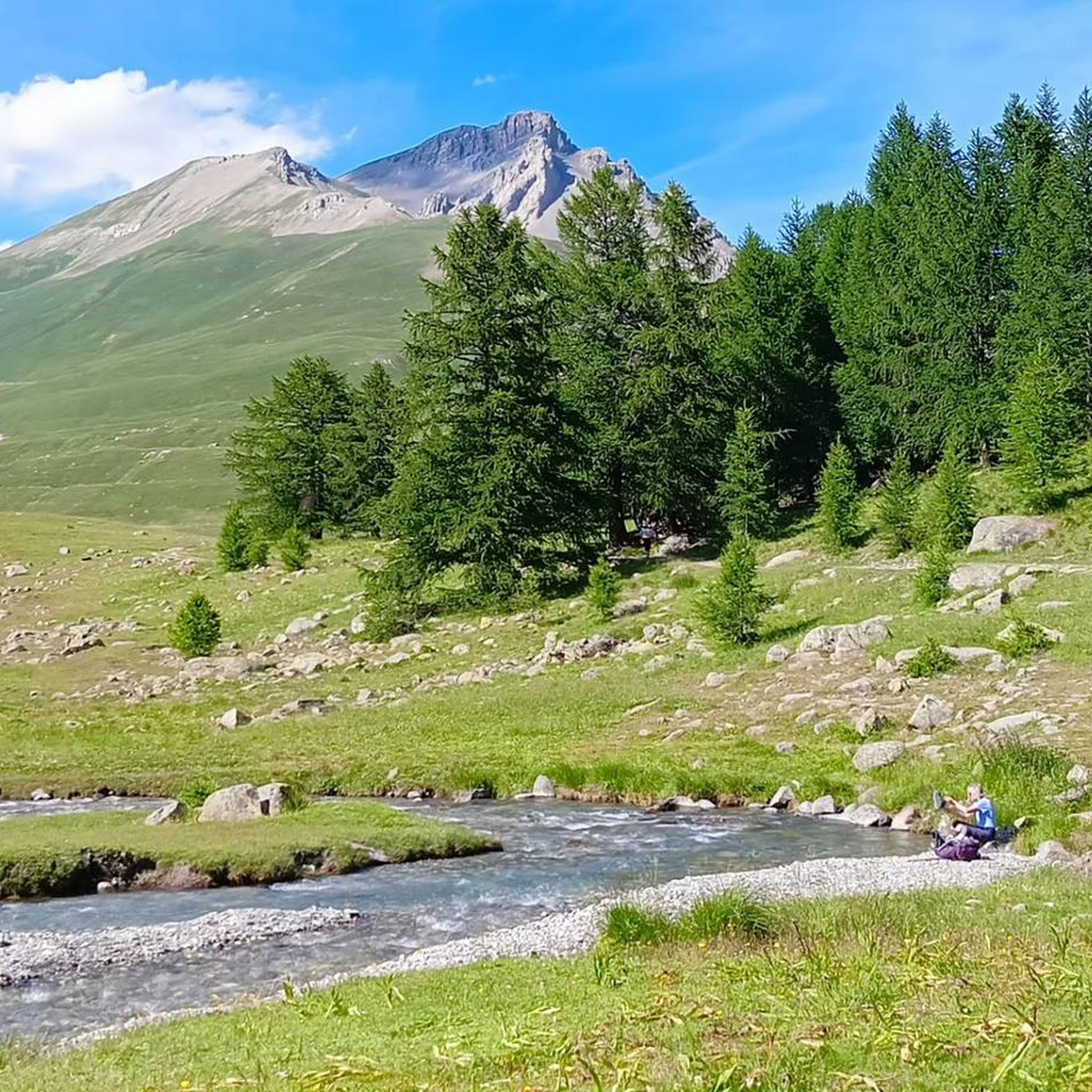
Hiking around Val-D'Oronaye
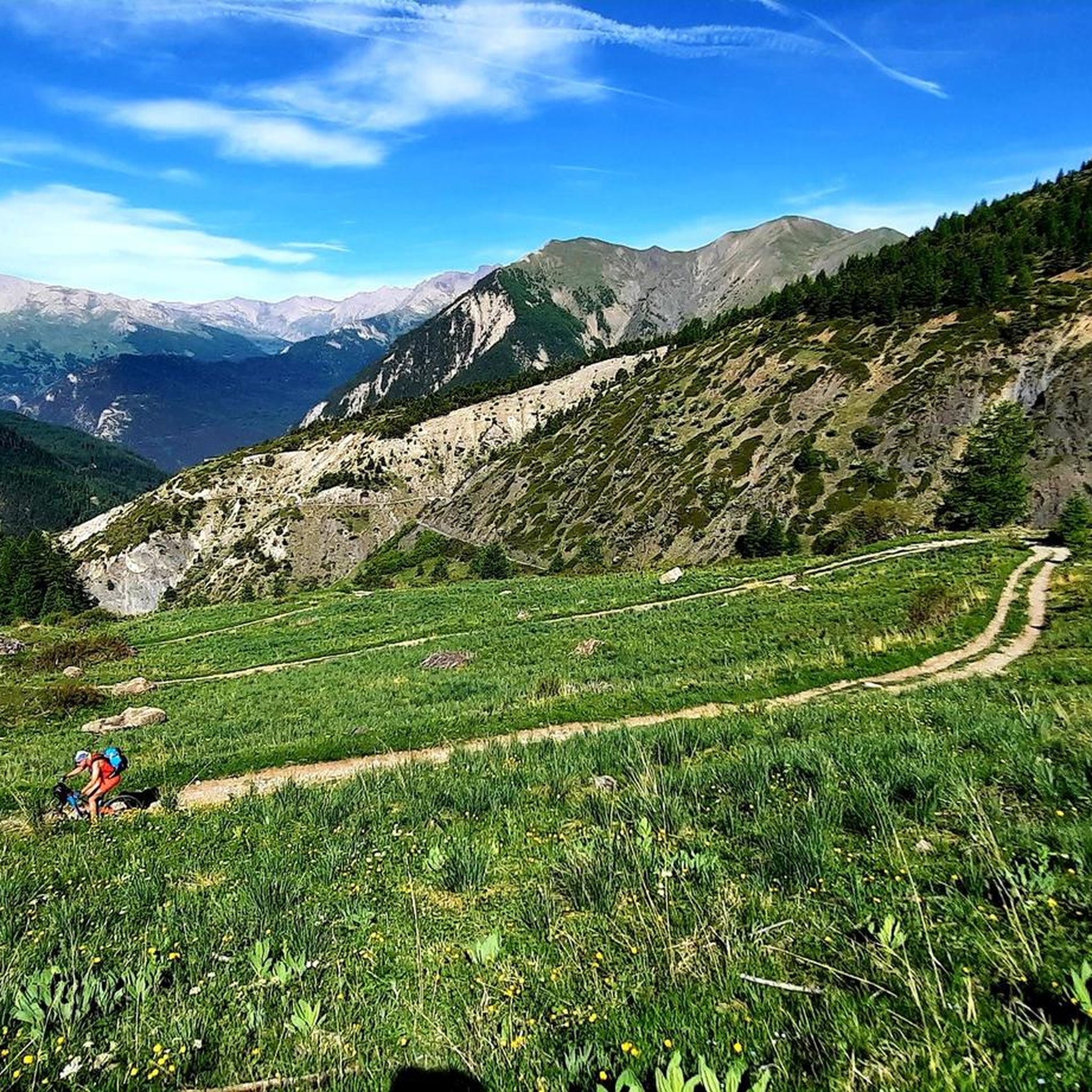
MTB Trails around Val-D'Oronaye
Road Cycling Routes around Val-D'Oronaye
Other adventures around Val-D'Oronaye


Tips from the Community

Easily reached from the Viviere hamlet of Acceglio along a military road that crosses beautiful pastures.
0
0

It can be reached on a good, not difficult path in about 1.40 hours, and offers an excellent view of Chiappera and the surrounding Dolomite peaks.
0
0

The ring road around the mountain comes into view once more at the end. Steep sections lead to the highest point, the Cime de la Bonette. Accessible in one direction only!
0
0


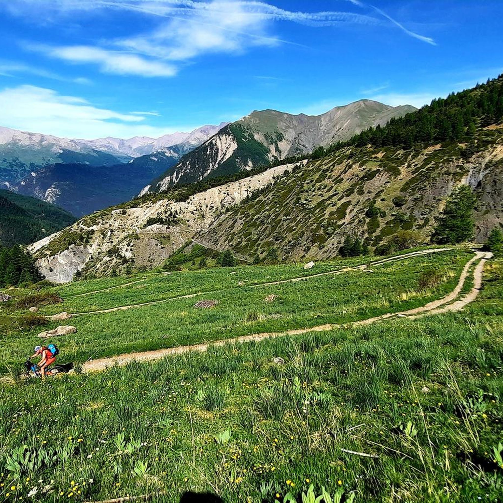
Colle del Preit welcomes you at the gates of the Gardetta plateau. The landscape here seems almost lunar with the rock that rises imposingly among the soft green meadows. You are at over 2000 meters above sea level, the climb to get there requires the right amount of effort and the atmosphere is truly unique. Admiring the panorama that surrounds you sharpens your sight and hearing, the whistle of some marmots reveals their presence among the rocks.
5
0

We also went up from Chiappera, but it's no problem for an experienced hiker. The path up to the pass is very doable, there are no exposed areas on the whole tour with great views. Highly recommended!!! 😄
1
0

Colle Greguri, at about 2350 m, offers a circular hike around Rocca Provenzale, symbol of the Maira Valley. With breathtaking views and flower-filled slopes, it offers a spectacular view of the vertical wall of Cima Provenzale.
1
0

Col de la Bonette (2715 meters above sea level) is a mountain pass in the French Alps, near the border with Italy. It is located in the Mercantour National Park on the border of the departments of Alpes-Maritimes and Alpes-de-Haute-Provence. The road over the col is the seventh highest paved road in the Alps.
0
0
Frequently Asked Questions
What are some of the most popular mountain passes and summits to explore in Val-D'Oronaye?
Val-D'Oronaye offers several highly regarded mountain passes and summits. Among them, Colle Greguri (Greguri Pass) stands out as the highest pass in the Provençal-Castello group, offering expansive views. Another popular spot is Bonette Summit, known as the highest paved road in Europe with a panoramic loop at its peak. Ciarbonet Pass is also a favorite, accessible via a mule track and notable for its beautiful landscape and the presence of marmots.
Which mountain peaks in Val-D'Oronaye offer the most challenging ascents?
For those seeking a challenge, Monte Oronaye (Tête de Moïse) is a prominent peak at 3,104 meters, known for its strenuous climb up a steep gully with unstable terrain. The Via Ferrata degli Alpini also offers a challenging experience. The Montagne du Cheval Blanc, rising over 2,800 meters, is recognized for its demanding ascent, rewarding hikers with breathtaking panoramic views. Additionally, the climb to Preit Pass is quite demanding, with sections exceeding 18% gradient.
Are there any mountain peaks in Val-D'Oronaye that offer unique natural features or wildlife viewing opportunities?
Yes, Ciarbonet Pass is known for its beautiful surrounding landscape and the frequent whistles of marmots. At Preit Pass, the landscape is described as almost lunar, with imposing rock formations among green meadows, and marmots are often heard. The ascent to Monte Oronaye passes Lake Oronaye, adding to the natural beauty, and Tête de la Frema offers views of the stunning Lac des Neuf Couleurs below.
What kind of panoramic views can I expect from the mountain peaks in Val-D'Oronaye?
The mountain peaks in Val-D'Oronaye are renowned for their panoramic views. From Monte Oronaye, you can expect extensive high-altitude vistas. The Montagne du Cheval Blanc offers breathtaking views over the entire valley. Colle Greguri (Greguri Pass) provides beautiful views in both directions, while Bonette Summit features a panoramic loop at its peak. From Tête de la Frema, you can enjoy a panoramic view of the high peaks of Ubaye, Mercantour, and Écrins.
What outdoor activities, besides peak bagging, can I do near the mountain peaks of Val-D'Oronaye?
Beyond reaching the summits, Val-D'Oronaye offers a variety of outdoor activities. You can find numerous hiking trails, such as the challenging 'Circuit of the 4 Lakes' or the 'Lac du Lauzanier and Lac de Derrière la Croix Trail'. For cycling enthusiasts, there are routes like the 'Saint-Paul-sur-Ubaye – Col de Vars loop'. Running trails are also available, including the 'Lac de l'Orrenaye – Lake Oronaye loop'. You can explore more options on the hiking guide, cycling guide, and running guide for Val-D'Oronaye.
What is the best time of year to visit Val-D'Oronaye for mountain peak exploration?
The best time to visit Val-D'Oronaye for mountain peak exploration is generally during the warmer months, from late spring to early autumn. This period offers more favorable weather conditions for hiking and climbing, with less snow at higher elevations. However, specific conditions can vary, so always check local weather forecasts before your trip.
Are there any specific safety considerations for climbing mountain peaks in Val-D'Oronaye?
Yes, safety is important when climbing in Val-D'Oronaye. For instance, Monte Oronaye is characterized by friable (crumbly) rock, meaning alpinistic activities on this mountain preferentially require the use of a helmet for safety. Always be prepared for strenuous climbs, unstable terrain, and rapidly changing weather conditions at high altitudes. It's advisable to carry appropriate gear and inform others of your plans.
What makes Tête Grosse a must-see peak in Val-D'Oronaye?
Tête Grosse is highlighted as a must-see in Val-D'Oronaye due to its significant vertical drop and the promise of an authentic experience. It offers an attractive alternative for those seeking a memorable adventure amidst the region's natural beauty, providing a true immersion into the heart of the Alps.
What do visitors particularly enjoy about the mountain passes and summits in Val-D'Oronaye?
Visitors frequently praise the stunning natural beauty and the rewarding views from the mountain passes and summits. For example, the ascent to Colle Greguri is described as demanding but rewarded with beautiful views. The landscape around Ciarbonet Pass is considered beautiful, and the presence of marmots adds to the experience. The unique 'lunar' landscape and the atmosphere at Preit Pass are also highly appreciated.
Can I find any high-altitude lakes near the mountain peaks in Val-D'Oronaye?
Yes, high-altitude lakes are a feature of the Val-D'Oronaye region. The normal ascent route for Monte Oronaye leads hikers past Lake Oronaye. Additionally, from Tête de la Frema, you can enjoy a panoramic view of the beautiful Lac des Neuf Couleurs below, surrounded by a superb landscape of rocks and lakes.
Are there any military roads or historical routes that can be explored in the Val-D'Oronaye mountains?
Yes, some areas in Val-D'Oronaye feature historical military roads. For instance, Preit Pass is located in an area where you can explore along military roads. Similarly, Ciarbonet Pass can be reached via a military road that is described as easy to drive on, offering a glimpse into the region's past infrastructure.
Most popular routes around Val-D'Oronaye
Most popular attractions around Val-D'Oronaye

Get inspired with the komoot mobile app


Explore more
See even more amazing summits around Val-D'Oronaye with these guides:
