The best running trails around Val-D'Oronaye
4.0
(15)
1,079
runners
105
runs
Jogging around Val-D'Oronaye offers routes through an alpine landscape characterized by high mountain passes, clear lakes, and forested valleys. The region features varied terrain, from challenging ascents to more gradual paths, providing diverse running experiences. These routes often traverse areas with significant elevation changes, typical of the Southern Alps.
Best jogging routes around Val-D'Oronaye
- The most popular jogging route is Lac de l'Orrenaye – Lake Oronaye loop from Col de Larche / Colle della Maddalena, a 8.9 miles (14.2 km) trail that takes 2 hours 11 minutes to complete. This difficult route features a significant elevation gain around an alpine lake.
- Another top favourite among local runners is Lac du Lauzanier – Lac de Derrière la Croix loop from Col de Larche / Colle della Maddalena, a difficult 10.7 miles (17.2 km) path. This route offers views of multiple high-altitude lakes and mountain scenery.
- Local runners also love the Lago Superiore di Roburent – Lago Mediano di Roburent loop from Col de Larche / Colle della Maddalena, a 12.6 miles (20.3 km) trail leading through a high mountain environment with multiple lakes, often completed in about 3 hours 21 minutes.
- Jogging around Val-D'Oronaye is defined by alpine lakes, mountain passes, and high-altitude valleys. The network offers options for both moderate and difficult running experiences.
- The routes in Val-D'Oronaye are highly rated by the komoot community with an average score of 4.1 stars from more than 15 reviews. More than 1200 runners have used komoot to explore Val-D'Oronaye's varied terrain.
Last updated: July 8, 2026
63
runners
Hard run. Very good fitness required. Sure-footedness, sturdy shoes and alpine experience required.
11
runners
20.4km
03:20
1,080m
1,080m
Hard run. Very good fitness required. Sure-footedness, sturdy shoes and alpine experience required.

Sign up for free
12
runners
15.7km
02:02
670m
670m
Hard run. Very good fitness required. Mostly accessible paths. Some sure footedness required.
13
runners
10.9km
01:15
250m
250m
Moderate run. Good fitness required. Mostly paved surfaces. Suitable for all skill levels.
10
runners
14.5km
01:47
330m
330m
Hard run. Very good fitness required. Sure-footedness, sturdy shoes and alpine experience required.
Get access to more routes and recommendations from other explorers.
Sign up for free
Already have an account?
Our route recommendations are based on thousands of hikes, rides, and runs completed by other people on komoot.
Start today with a free account
Your next adventure awaits.
Login or Signup
Popular around Val-D'Oronaye

Seven MTB routes in the Southern Alps – nature, passes and valleys
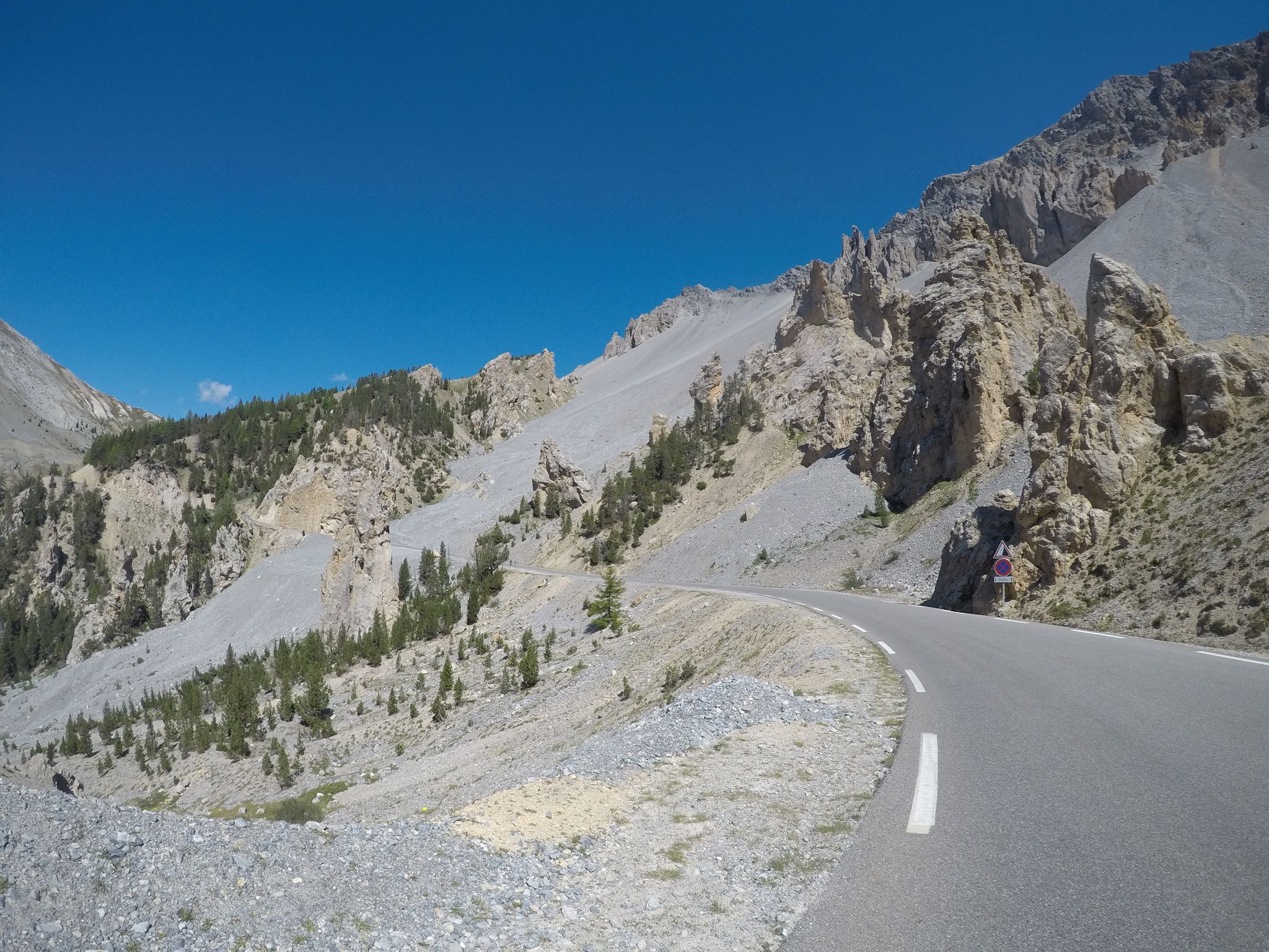
The Cuneo Pinerolo of 1949 – full route
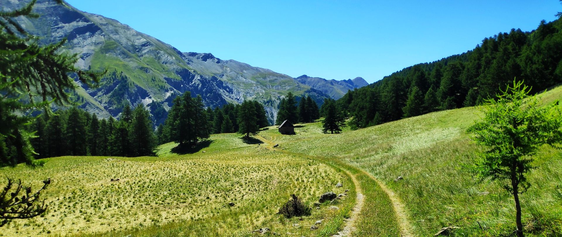
MTB Tour of the Ubaye Valley – La Transubayenne

Hike from Saint-Étienne-de-Tinée to Briançon – Europe Trail (GR 5)

Mountains and marmots — France’s Ubaye trail (GR 56)

MigrAction – Generations in Motion

The most beautiful MTB and hiking tours in the French Maritime Alps
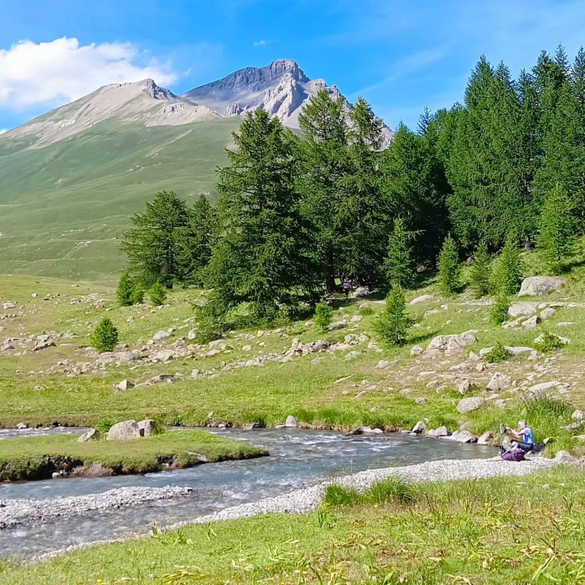
Hiking around Val-D'Oronaye
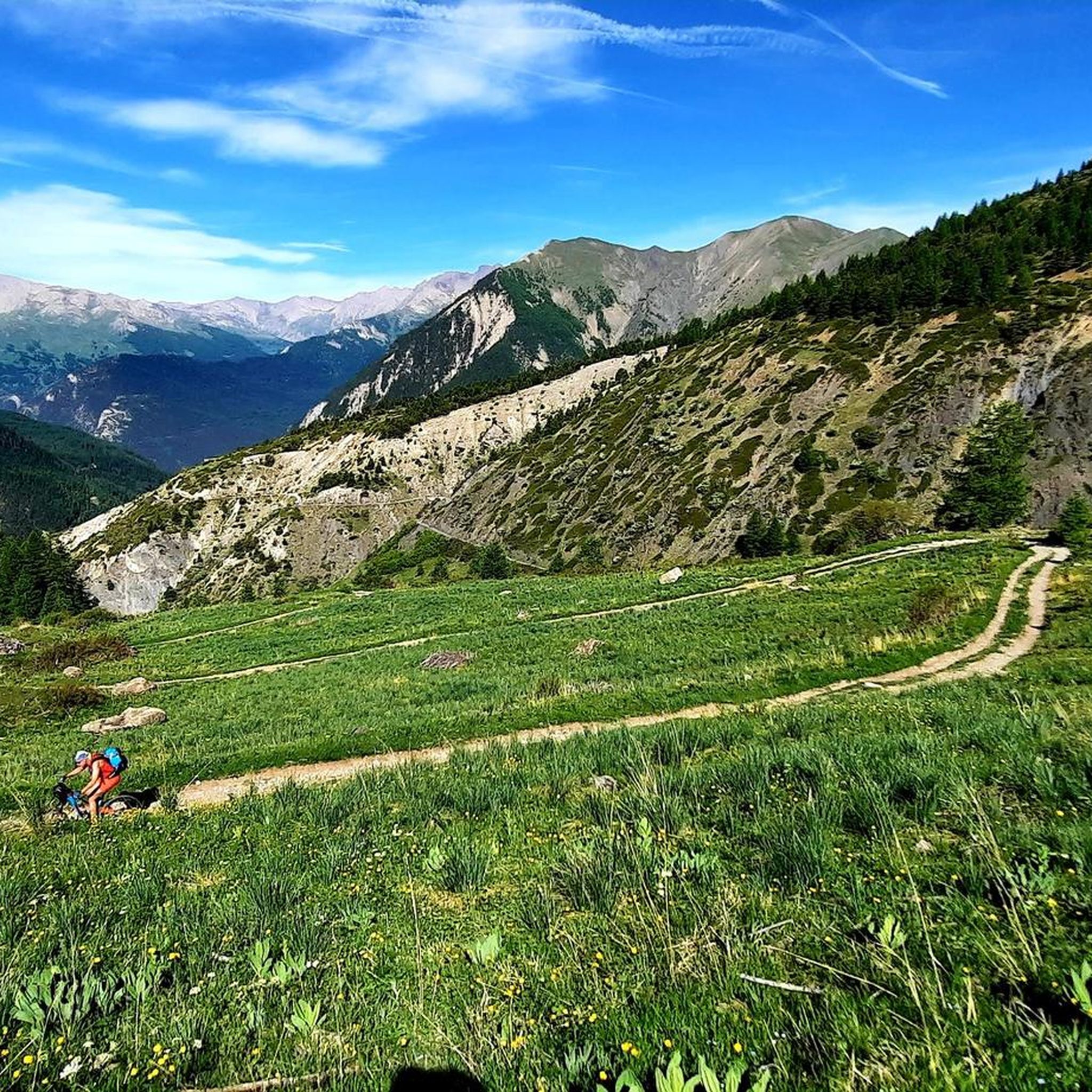
Road Cycling Routes around Val-D'Oronaye
MTB Trails around Val-D'Oronaye
Other adventures around Val-D'Oronaye


Tips from the Community

Important pass between France and Italy, it is surrounded by a frame of wonderful mountains, which make you want to return to the valley. Several points of interest "anthropogenic" - including: French side, a contour line model of the area of the pass; Italian side, memorial monuments to Tazio Nuvolari and Fausto Coppi, protagonist on this pass of the legendary feat of the Cuneo-Pinerolo stage in 1949.
0
0
Important pass between France and Italy, it is surrounded by a frame of wonderful mountains, which make you want to return to the valley. Several points of interest "anthropogenic" - including: French side, a contour line model of the pass area; Italian side, memorial monuments to Tazio Nuvolari and Fausto Coppi, protagonist on this pass of the legendary feat of the Cuneo-Pinerolo stage in 1949.
0
0

The Vallon du Lauzanier is a magnificent space, little frequented in winter
0
0


Magnificent, not to be missed, the effort is worth it.
0
0
A first step before the magnificent Roburent lake 🇮🇹
0
0
Very beautiful lake in a superb landscape. Few people in September so very pleasant. Just watch out for the sheepdogs, not aggressive but impressive.
0
0

Beautiful place with this little bridge over the river where you can also swim, usually there is a shepherd with hundreds of sheep.
0
0
Frequently Asked Questions
How many running routes are available in Val-D'Oronaye?
There are over 10 dedicated running routes in Val-D'Oronaye, offering a variety of experiences through its alpine landscape. These routes are highly rated by the komoot community.
Are there any easy running routes in Val-D'Oronaye?
While many routes in Val-D'Oronaye are challenging due to the alpine terrain, there are a couple of moderate options. For example, The Red Bridge loop from Larche is a moderate 6.8-mile (10.9 km) trail that offers a less strenuous experience compared to the more difficult high-altitude loops.
Can I find circular running routes in Val-D'Oronaye?
Yes, many of the running routes in Val-D'Oronaye are circular, allowing you to start and finish at the same point. Popular circular options include Lac de l'Orrenaye – Lake Oronaye loop from Col de Larche / Colle della Maddalena and Lac du Lauzanier – Lac de Derrière la Croix loop from Col de Larche / Colle della Maddalena, both offering stunning alpine scenery.
Are the running trails in Val-D'Oronaye suitable for families?
The Val-D'Oronaye region is characterized by significant elevation changes, making many routes quite challenging. While there are no specifically designated 'easy' routes, families with older children or those accustomed to mountain running might enjoy shorter sections of the moderate trails. Always check the route's difficulty and elevation profile before heading out.
Are dogs allowed on the jogging routes in Val-D'Oronaye?
Generally, dogs are welcome on trails in the Val-D'Oronaye region, but it's crucial to keep them on a leash, especially in areas with grazing livestock or protected wildlife. Always carry water for your dog and be mindful of their paws on rocky terrain. Check local signage for any specific restrictions.
What kind of views or points of interest can I expect on these routes?
The running routes in Val-D'Oronaye offer breathtaking alpine views, including high mountain passes, clear lakes, and forested valleys. You might encounter highlights such as the Summit of Monte Bellino or various scenic trails like the Vallone di Unerzio Trail, providing stunning natural beauty.
Are there any waterfalls along the running trails?
Yes, Val-D'Oronaye is home to several beautiful waterfalls. You can find routes that pass by natural attractions like The Waterfall - Torrent de Vens or the impressive First Section of Stroppia Waterfall. These add a refreshing element to your run.
What is the best time of year for running in Val-D'Oronaye?
The best time for running in Val-D'Oronaye is typically from late spring to early autumn (June to September). During these months, the weather is generally milder, and the high-altitude trails are more likely to be free of snow, offering optimal conditions for exploring the alpine landscape.
Are there options for winter running in Val-D'Oronaye?
Winter running in Val-D'Oronaye is possible but requires caution and appropriate gear due to snow and ice. Lower elevation trails might be accessible, but many high-altitude routes become impassable or require specialized equipment like snowshoes or trail crampons. Always check weather and trail conditions before heading out in winter.
Where can I find parking for the running routes?
Many of the popular running routes in Val-D'Oronaye, especially those starting from major access points like Col de Larche / Colle della Maddalena, have designated parking areas. It's advisable to check the specific route details on komoot for information on trailhead parking availability.
What do other runners say about the trails in Val-D'Oronaye?
The running trails in Val-D'Oronaye are highly regarded by the komoot community, with an average rating of 4.1 stars from over 15 reviews. Runners frequently praise the stunning alpine scenery, the challenge of the mountain terrain, and the clear, refreshing air. Many appreciate the well-maintained paths and the sense of solitude found on these routes.
Are there any hidden gem running routes in Val-D'Oronaye?
While the main routes are well-known, exploring variations or slightly less frequented paths can reveal hidden gems. For instance, the The Red Bridge – L'Ubayette loop from Val-d'Oronaye offers a challenging yet rewarding experience through diverse terrain, potentially offering a more secluded feel than the most popular lake loops.
Are there any running routes that pass by cafes or places to refuel?
Given the high-alpine nature of Val-D'Oronaye, most running routes are quite remote, and direct access to cafes or shops along the trail is limited. It's best to carry sufficient water and snacks. However, starting points like Col de Larche / Colle della Maddalena or nearby villages may offer facilities for refreshments before or after your run.
Most popular routes around Val-D'Oronaye
Most popular attractions around Val-D'Oronaye

Get inspired with the komoot mobile app


Explore more
Browse the best Running Trails & Routes in other regions.
