The best traffic-free bike rides around Val-D'Oronaye
4.7
(127)
7,381
riders
4
rides
No traffic road cycling routes around Val-D'Oronaye are situated in the Alpes de Haute Provence, within the Provence-Alpes-Côte d'Azur region. This area is characterized by a preserved natural environment, featuring mountainous terrain and numerous passes. The landscape includes high Alpine peaks, green mountain pastures, and winding river valleys such as the Ubaye valley. The region's proximity to Mercantour National Park ensures diverse natural features for road cyclists.
Best no traffic road cycling routes around Val-D'Oronaye
- The most popular no traffic road cycling route is View of Pont du Châtelet – Pont-du-Châtelet loop from Saint-Paul-sur-Ubaye, a 15.0 miles (24.1 km) trail that takes 1 hour 17 minutes to complete. This route offers views of the Ubaye valley and its mountainous surroundings.
- Another top favourite among local road cyclists is Bridge over the Maira loop from Gheit, a moderate 15.2 miles (24.5 km) path. This route navigates through mountainous terrain near the French-Italian border, following the Maira river.
- Local road cyclists also love the Moutière Pass – Moutière Pass loop from Saint-Dalmas-le-Selvage, a 14.0 miles (22.5 km) trail leading through high Alpine peaks and passes, often completed in about 1 hour 45 minutes.
- Road cycling around Val-D'Oronaye is defined by high Alpine peaks, green mountain pastures, and winding river valleys. The network offers options for different ability levels, from moderate climbs to more difficult ascents.
- The routes in Val-D'Oronaye are highly rated by the komoot community with an average score of 4.8 stars from over 160 reviews. More than 10,000 road cyclists have used komoot to explore Val-D'Oronaye's varied terrain.
Last updated: July 7, 2026
7
riders
22.5km
01:45
940m
940m
Hard road ride. Very good fitness required. Mostly well-paved surfaces and easy to ride.
6
riders
13.1km
00:44
290m
290m
Easy road ride. Great for any fitness level. Mostly well-paved surfaces and easy to ride.

Sign up for free
5
riders
14.7km
01:03
550m
550m
Moderate road ride. Good fitness required. Mostly well-paved surfaces and easy to ride.
4
riders
13.3km
00:55
420m
420m
Moderate road ride. Good fitness required. Mostly well-paved surfaces and easy to ride.
Our route recommendations are based on thousands of hikes, rides, and runs completed by other people on komoot.
Start today with a free account
Your next adventure awaits.
Login or Signup
Popular around Val-D'Oronaye
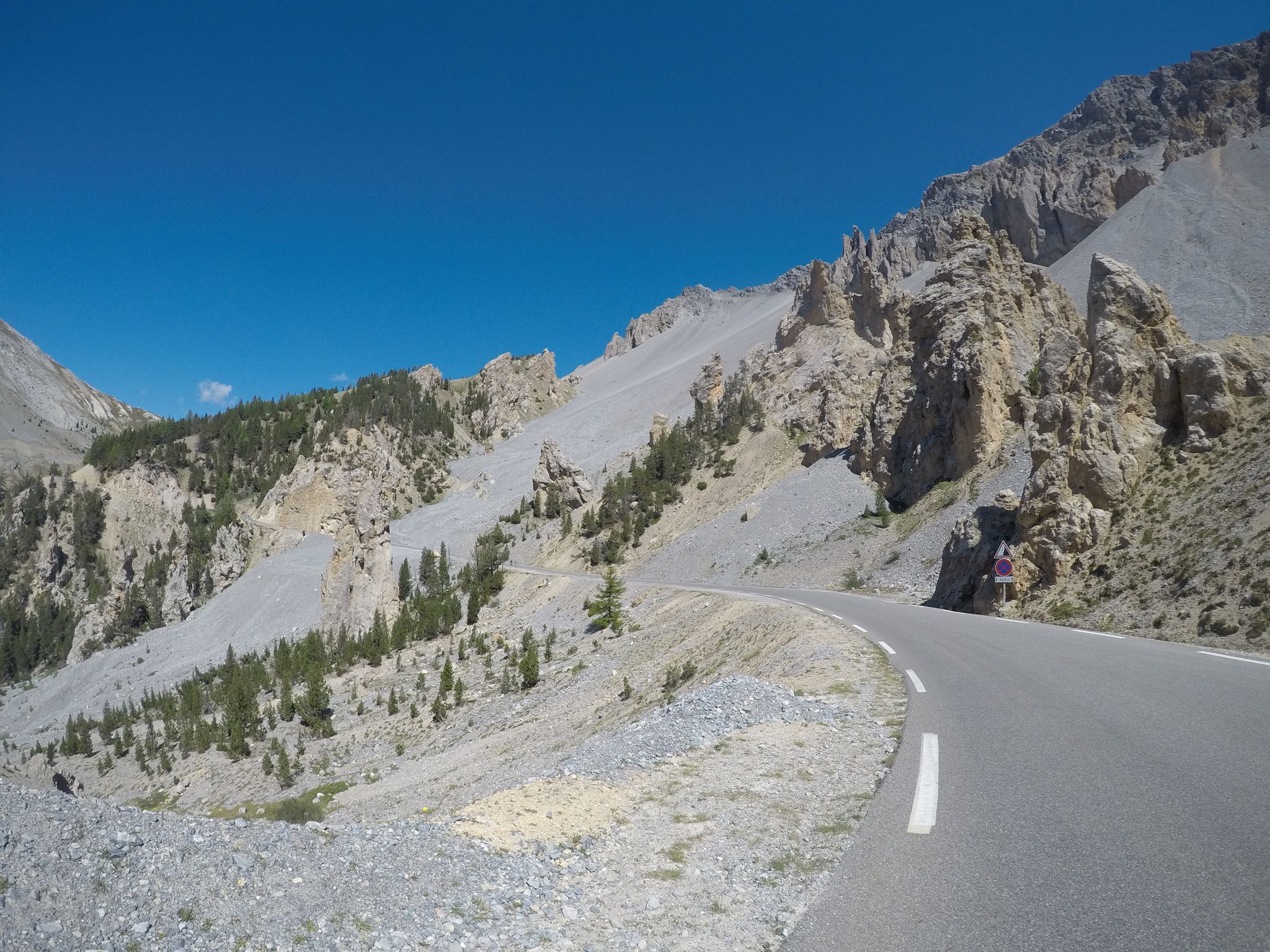
The Cuneo Pinerolo of 1949 – full route

Seven MTB routes in the Southern Alps – nature, passes and valleys
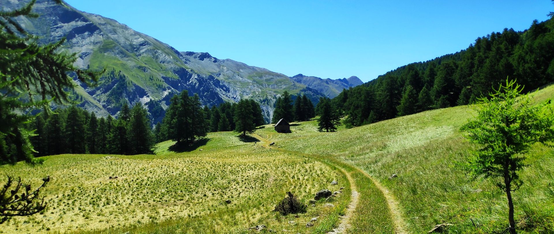
MTB Tour of the Ubaye Valley – La Transubayenne

Hike from Saint-Étienne-de-Tinée to Briançon – Europe Trail (GR 5)

Mountains and marmots — France’s Ubaye trail (GR 56)

MigrAction – Generations in Motion

The most beautiful MTB and hiking tours in the French Maritime Alps
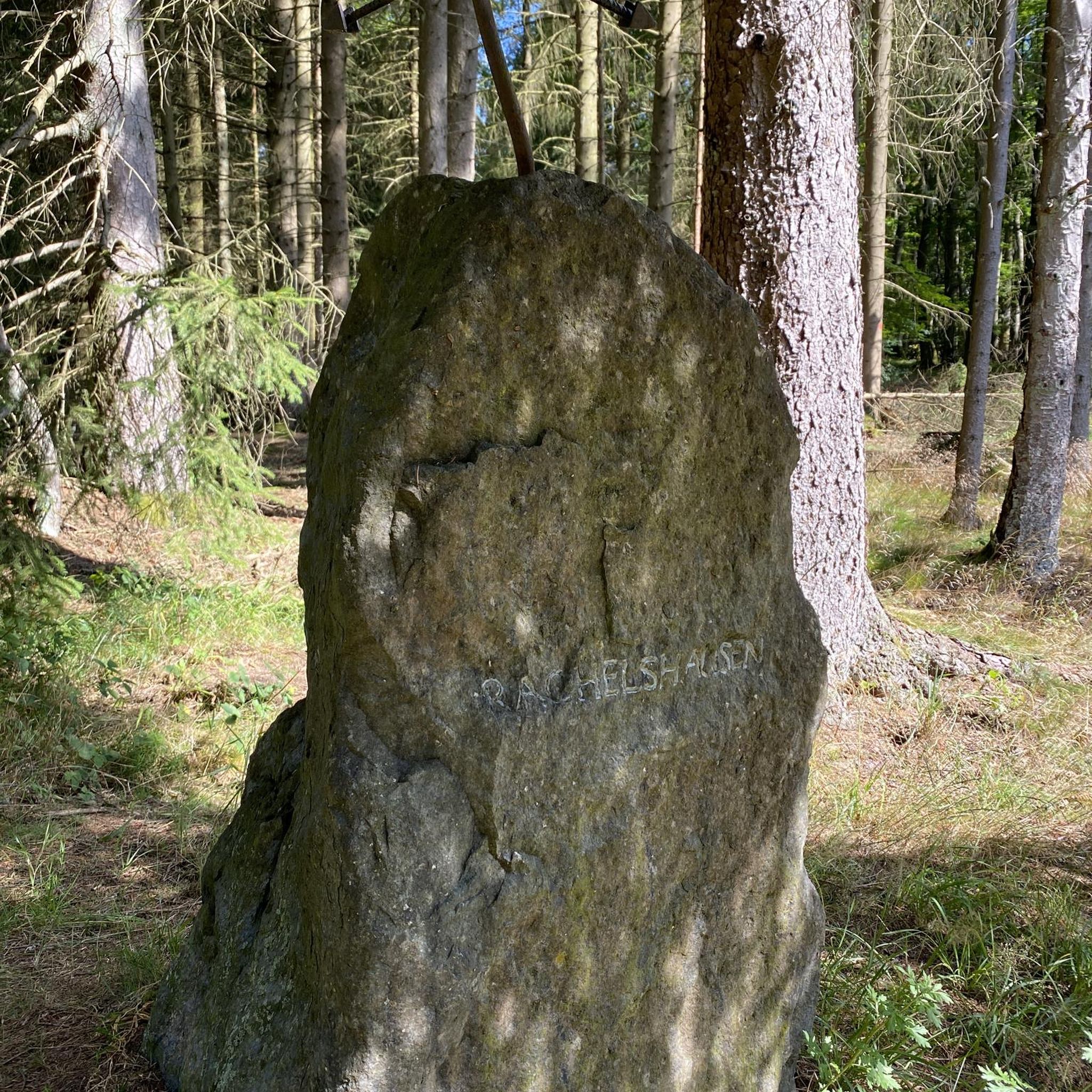
Traffic-free bike rides around Val-D'Oronaye

Traffic-free bike rides around Val-D'Oronaye
Other adventures around Val-D'Oronaye


Tips from the Community

Beautiful lake formed by the Saretto dam, which is part of the Maira Valley hydroelectric complex. It offers a beautiful panorama, with its body of water surrounded by mountains.
0
0
Hiking refuge at the end of the drivable road, an excellent base for excursions in the area. It is located in an area with a wonderful panorama, with a direct view of the Provenzale.
0
0
After Saretto, the road opens up and offers a cinematic panorama of Chiappera, la Provenzale, and the upper Maira valley.
0
0
Beautiful village that the provincial road completely bypasses, but which is worth entering for a more in-depth visit. Of particular interest: the small square with the chapel and the old oven (still functioning and in use), the wash fountain, and a beautiful fresco of Saint Joseph with the Child Jesus on the facade of a house.
0
0
Beautiful village just north of Acceglio. The provincial road goes around it from above, but it's worth taking the old road to visit the original core.
0
0

I rode up to the Col de Moutiere from Saint Etienne via Saint Dalmas, and then took the 3km of gravel road link to the Col de la Bonette. I returned to Saint Etienne via the more classic D64. It makes for a much quieter, wilder and steeper ascent, with a better (but busier) road surface and more gradual decline for the D64 descent. Also this way it's a loop and you see more of the incredible scenery. The 3km gravel section is very doable with my moutain bike (i would rate it as a 'blue'). I didnt need to carry or push the bike even though some parts were boken up by small water crossings. I was overtaken by a motorbike at one point. Be careful of the weather here, especially the potentially violent afternoon thunderstorms. There is no shelter nearby
0
0

If there were a ranking of the most beautiful, undiscovered Alpine passes in the cycling world, the Moutière would certainly be a contender. Starting from Saint-Dalmas-le-Selvage, the climb through the valleys of Sestrière and Sagnas is simply sublime.
1
0

here you can ask for the key to the stroppia refuge
0
0
Frequently Asked Questions
How many no-traffic road cycling routes are available in Val-D'Oronaye?
There are 4 dedicated no-traffic road cycling routes in Val-D'Oronaye featured in this guide, ranging from moderate to difficult in intensity. These routes are specifically curated for a peaceful cycling experience away from heavy vehicle traffic.
What is the typical difficulty level for no-traffic road cycling in Val-D'Oronaye?
The no-traffic road cycling routes in Val-D'Oronaye are generally moderate to difficult. For instance, you'll find routes like the View of Pont du Châtelet – Pont-du-Châtelet loop which is moderate, and the challenging Moutière Pass – Moutière Pass loop which features significant elevation gain.
Are there any circular no-traffic road cycling routes in Val-D'Oronaye?
Yes, all the no-traffic road cycling routes highlighted in this guide are circular. This allows you to start and finish at the same point, making logistics simpler. Examples include the Bridge over the Maira loop from Gheit and the Ponte Maira: Village and Bunker – Saretto Village loop.
What kind of natural features or landmarks can I expect to see along these quiet road cycling routes?
Val-D'Oronaye offers breathtaking natural beauty. Along your rides, you might encounter stunning mountain passes like Col de Vars, picturesque lakes such as Lago Nero (Valle Maira), and the serene Source of the Maira. The region is also known for its green mountain pastures and diverse flora and fauna, especially within the Mercantour National Park.
What is the best time of year for no-traffic road cycling in Val-D'Oronaye?
The best time for road cycling in Val-D'Oronaye is typically during the warmer months, from late spring to early autumn (May to October), when mountain passes are clear of snow and the weather is most favorable. This period allows you to fully enjoy the high Alpine peaks and flowery meadows.
Are there any family-friendly options for quiet road cycling in Val-D'Oronaye?
While the routes in this guide are generally moderate to difficult due to the mountainous terrain and elevation gains, the 'no traffic' aspect makes them safer for families with experienced young cyclists. Always check the route details for distance and elevation to ensure it matches your family's ability. The region's quiet roads and scenic beauty are ideal for a focused cycling experience.
What do other road cyclists enjoy most about cycling in Val-D'Oronaye?
The Val-D'Oronaye region is highly rated by the komoot community, with an average score of 4.8 stars from 169 ratings. Reviewers often praise the preserved natural environment, the challenging yet rewarding climbs, and the stunning Alpine scenery, especially the quiet roads that allow for an immersive cycling experience.
Can I find amenities like cafes or accommodation near the no-traffic road cycling routes?
Val-D'Oronaye and the surrounding Ubaye Valley offer various amenities. While specific cafes directly on the quietest sections might be limited, you'll find villages and towns nearby with options for refreshments and accommodation. It's advisable to plan your stops in advance, especially for longer rides.
Are there any specific permits required for road cycling in Val-D'Oronaye, especially in protected areas?
Generally, no specific permits are required for road cycling on public roads in Val-D'Oronaye. However, as parts of the region fall within the Mercantour National Park, it's always good practice to be aware of and respect park regulations, especially regarding wildlife and environmental protection. There are no specific cycling permits mentioned for the routes in this guide.
How accessible is Val-D'Oronaye for cyclists using public transport?
Val-D'Oronaye is nestled in a mountainous region, and public transport options can be less frequent than in urban areas. While some bus services connect major towns, bringing bikes on board might be restricted. It's recommended to check local transport schedules and bike policies in advance if you plan to rely on public transport to reach your starting point.
What is the typical surface quality of the no-traffic road cycling routes?
The no-traffic road cycling routes in Val-D'Oronaye are generally on paved roads. Given the mountainous terrain, some sections may have varying surface conditions, but they are suitable for road bikes. The focus on 'no traffic' often means these roads are well-maintained for local access but see minimal vehicle use.
Most popular routes around Val-D'Oronaye
Most popular attractions around Val-D'Oronaye

Get inspired with the komoot mobile app


Explore more
Browse the best Road cycling routes in other regions.
