The best walks and hikes around Val-D'Oronaye
4.6
(458)
4,095
hikers
53
hikes
Hiking around Val-D'Oronaye offers diverse landscapes characterized by majestic peaks, alpine lakes, and varied valleys. The region features mountains exceeding 3,000 meters, including the demanding Montagne du Cheval Blanc and Tête de Moïse. Numerous lakes, such as Oronaye Lake and Roburent Lake, are found in former glacial valleys. Trails wind through lush forests, ascend steep ridges, and cross significant mountain passes like Col de Portiolette and Roburent Pass.
Best hiking trails around Val-D'Oronaye
- The most popular hiking route is Circuit…
Last updated: May 26, 2026
4.6
(38)
427
hikers
14.2km
05:00
600m
600m
Hard hike. Very good fitness required. Mostly accessible paths. Sure-footedness required.
4.7
(15)
201
hikers
13.3km
05:03
530m
530m
Hard hike. Very good fitness required. Sure-footedness, sturdy shoes and alpine experience required.

Sign up for free
5.0
(27)
183
hikers
12.3km
05:52
840m
840m
Hard hike. Very good fitness required. Mostly accessible paths. Sure-footedness required.
3
hikers
7.57km
02:32
360m
360m
Moderate hike. Good fitness required. Mostly accessible paths. Sure-footedness required.
4.9
(24)
202
hikers
Hard hike. Very good fitness required. Sure-footedness, sturdy shoes and alpine experience required.
Get access to more routes and recommendations from other explorers.
Sign up for free
Already have an account?
Our route recommendations are based on thousands of hikes, rides, and runs completed by other people on komoot.
Start today with a free account
Your next adventure awaits.
Login or Signup
Popular around Val-D'Oronaye

Hike from Saint-Étienne-de-Tinée to Briançon – Europe Trail (GR 5)

Mountains and marmots — France’s Ubaye trail (GR 56)

MigrAction – Generations in Motion

Seven MTB routes in the Southern Alps – nature, passes and valleys
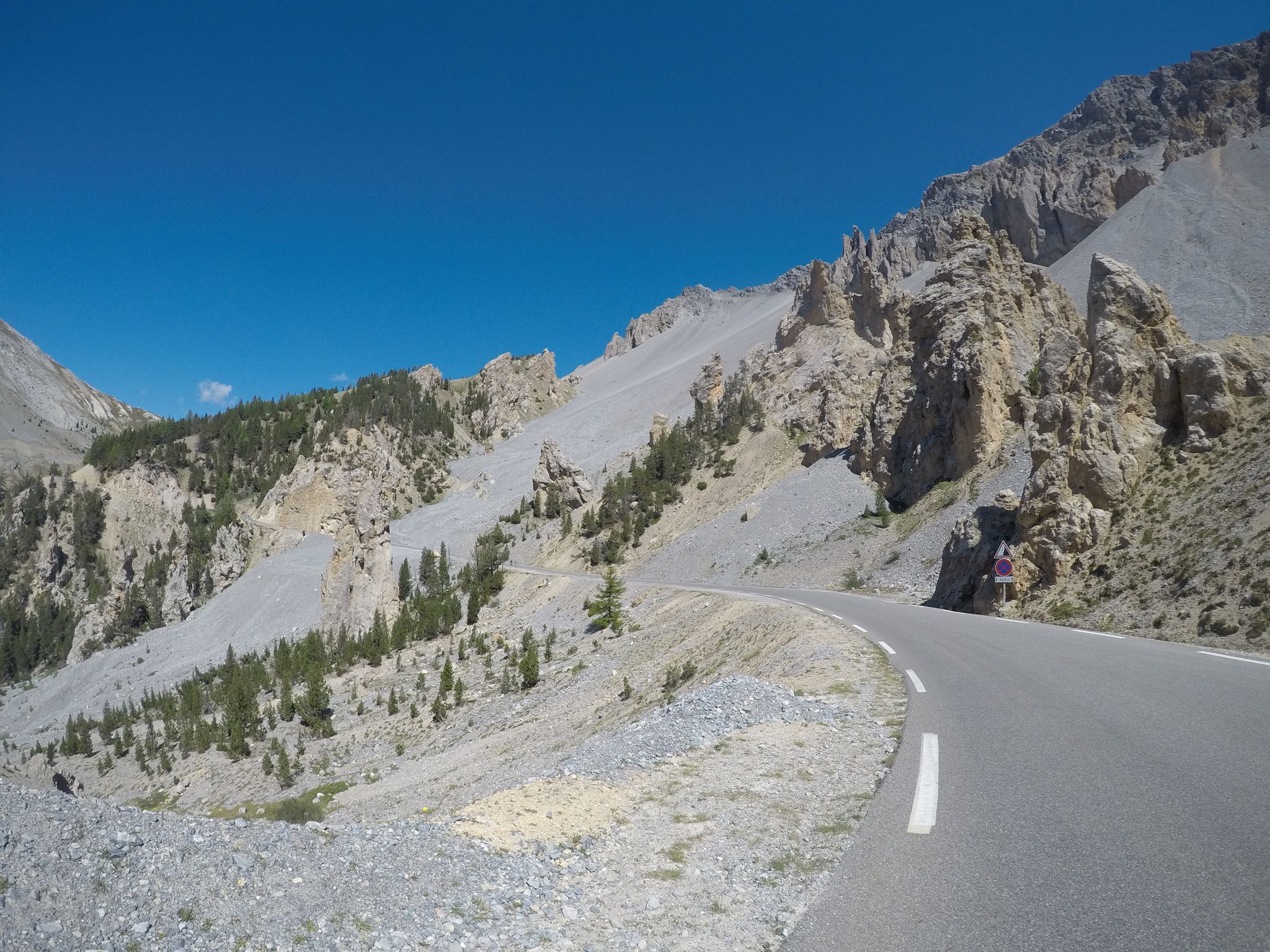
The Cuneo Pinerolo of 1949 – full route
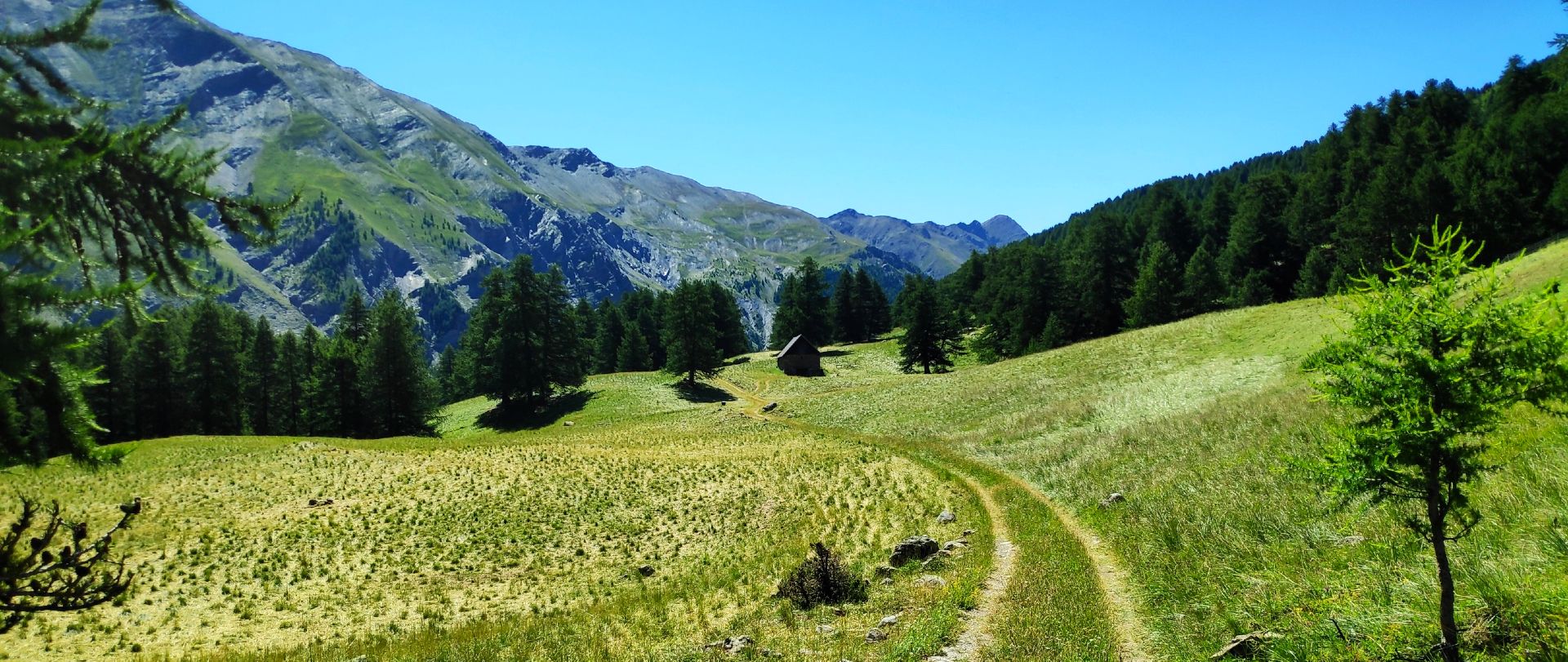
MTB Tour of the Ubaye Valley – La Transubayenne

The most beautiful MTB and hiking tours in the French Maritime Alps
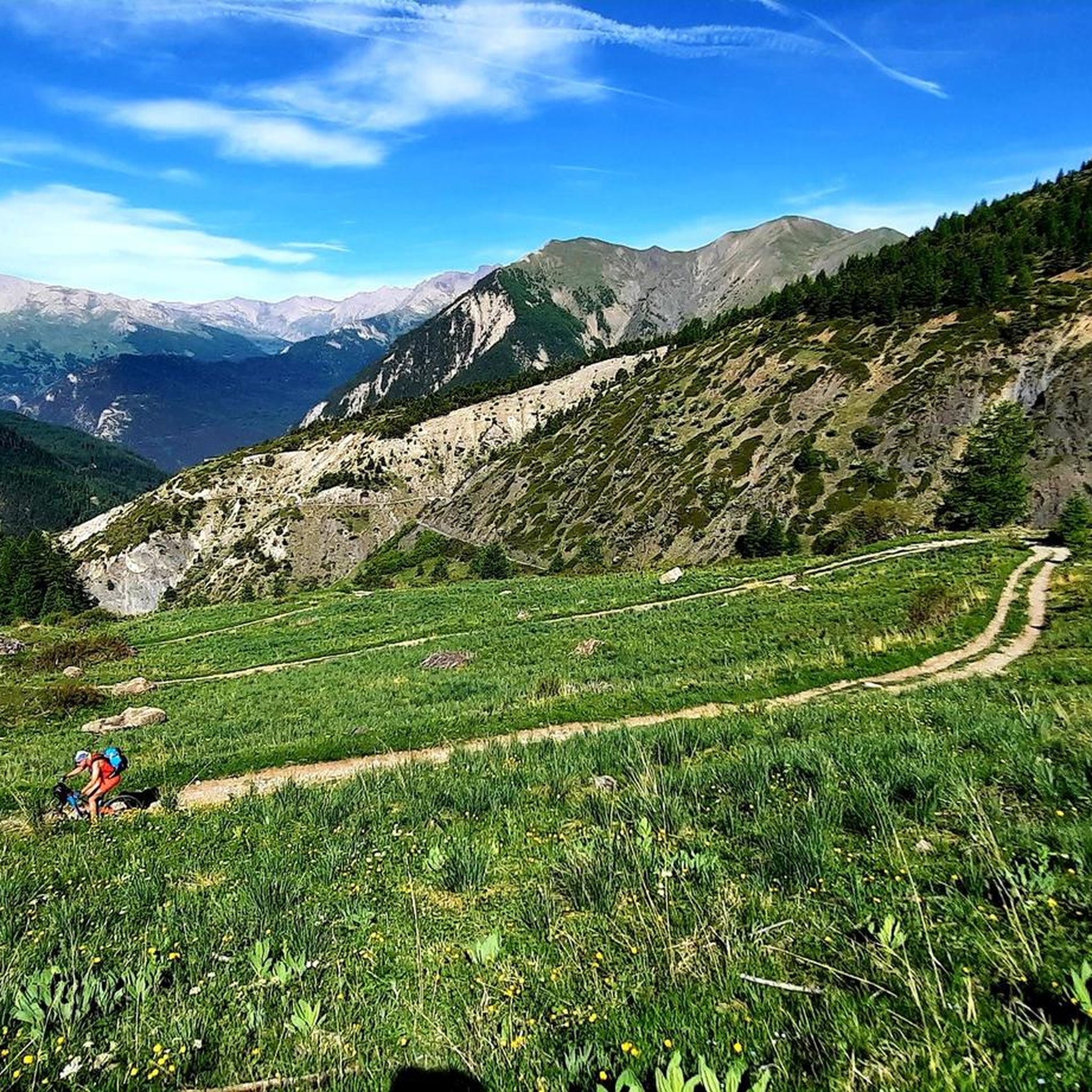
MTB Trails around Val-D'Oronaye
Road Cycling Routes around Val-D'Oronaye
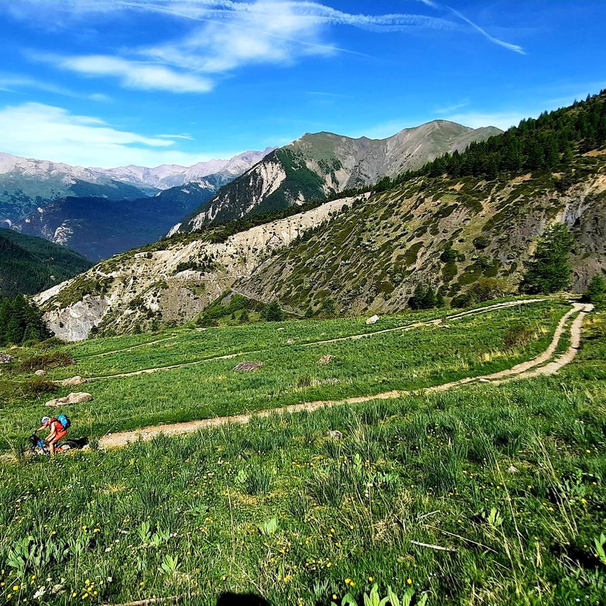
Cycling around Val-D'Oronaye
Other adventures around Val-D'Oronaye


Tips from the Community

The Vallon du Lauzanier is a magnificent space, little frequented in winter
0
0

Hill located on the Italian-French border
0
0

Nothing exceptional, but worth seeing.
0
0

Beautiful place with this little bridge over the river where you can also swim, usually there is a shepherd with hundreds of sheep.
0
0
The route is really easy at the beginning, even for wheelchairs, as the road is flat and well-trodden.
0
0

https://youtu.be/c_jtRRcON1s?si=vmfymVyHAvlCwn5I Easy to reach if you're coming from Oronaye
0
0

Here you have a beautiful 360° view
0
0
Frequently Asked Questions
How many hiking trails are available in Val-D'Oronaye?
Val-D'Oronaye offers a wide variety of hiking experiences, with over 50 distinct trails. These range from easy walks to challenging ascents, catering to all skill levels.
What kind of terrain can I expect when hiking in Val-D'Oronaye?
Hikers in Val-D'Oronaye can expect diverse terrain, from peaceful paths winding through lush forests and green valleys to routes ascending steep ridges and majestic peaks. The region is characterized by high alpine peaks, glacial lakes, and significant mountain passes, offering varied landscapes.
Are there any easy hiking trails suitable for beginners or families?
Yes, Val-D'Oronaye has several easy trails perfect for beginners or families. There are 9 easy routes available, offering gentle walks through flowery meadows and forests. A good option for a moderate family outing is the Lac de l'Oronaye Trail, which is about 4.7 miles (7.6 km) long and leads through a former glacial valley.
What natural features or landmarks can I see along the hiking trails?
Val-D'Oronaye is rich in natural beauty. You can explore stunning alpine lakes like Oronaye Lake, Roburent Lake, Lac Premier, and the lakes found on the Circuit of the 4 Lakes. Majestic peaks such as Montagne du Cheval Blanc and Tête de Moïse offer breathtaking panoramic views. The region also features diverse valleys like the scenic Lauzanier valley, which you can explore on the Lac du Lauzanier and Lac de Derrière la Croix Trail.
Are there any challenging routes for experienced hikers?
Absolutely. Val-D'Oronaye is a paradise for experienced hikers, with 31 difficult routes. These include demanding ascents to peaks like Montagne du Cheval Blanc and trails crossing significant mountain passes such as Col de Portiolette and Roburent Pass. The Circuit of the 4 Lakes and Tour du Soubeyran are examples of challenging routes with significant elevation gains.
What do other hikers enjoy most about hiking in Val-D'Oronaye?
The hiking experiences in Val-D'Oronaye are highly rated by the komoot community, with an average score of 4.6 stars from over 400 reviews. Hikers often praise the region's diverse landscapes, from majestic peaks and stunning alpine lakes to peaceful valleys and challenging mountain passes. The variety of trails suitable for all levels is also a frequently highlighted aspect.
Are there any circular hiking routes in Val-D'Oronaye?
Yes, Val-D'Oronaye offers several circular routes for hikers. A notable example is the Circuit of the 4 Lakes, an 8.8-mile (14.2 km) difficult trail that connects multiple alpine lakes. Another option is the Tour du Soubeyran, which is also a challenging circular hike.
Are there mountain refuges or huts along the trails for overnight stays or breaks?
Yes, along the hiking routes in Val-D'Oronaye, you can find historic mountain refuges and huts that provide excellent stopping points. These include places like the Gardetta Hut, Chambeyron Hut, and Refuge de Vens. They often offer local specialties and a chance to rest after a day of activity.
What is the best time of year to go hiking in Val-D'Oronaye?
The best time for hiking in Val-D'Oronaye is typically during the warmer months, from late spring to early autumn, when trails are clear of snow and the alpine meadows are in bloom. This period offers the most favorable conditions to enjoy the region's diverse landscapes, including its high peaks and alpine lakes. Always check local weather and trail conditions before heading out.
Can I bring my dog on the hiking trails in Val-D'Oronaye?
While many trails in Val-D'Oronaye are generally dog-friendly, it's always recommended to check specific regulations for each route, especially within protected areas or near sensitive wildlife habitats. Always keep your dog on a leash and ensure you clean up after them to preserve the natural environment for everyone.
Are there any cultural or historical sites to explore in the Val-D'Oronaye area?
Beyond its natural beauty, Val-D'Oronaye and its surrounding villages offer cultural and historical insights. You can discover picturesque churches that reflect the region's rich local history. The area also holds significant military history, with numerous fortified works, including Maginot Line fortifications like Fort Roche-la-Croix and Fort Saint-Ours, which are open for visits.
Is there public transport available to access the hiking trailheads?
While specific public transport options directly to all trailheads in Val-D'Oronaye can be limited due to its mountainous and somewhat remote nature, some regional bus services might connect to larger villages or passes. For detailed information on accessing the Val-D'Oronaye area, it's advisable to consult local tourist information or transport providers in advance.
Most popular routes around Val-D'Oronaye
Most popular attractions around Val-D'Oronaye

Get inspired with the komoot mobile app


Explore more
Browse the best Hikes in other regions.
