The best running trails around Gunzesried
4.4
(11)
324
runners
19
runs
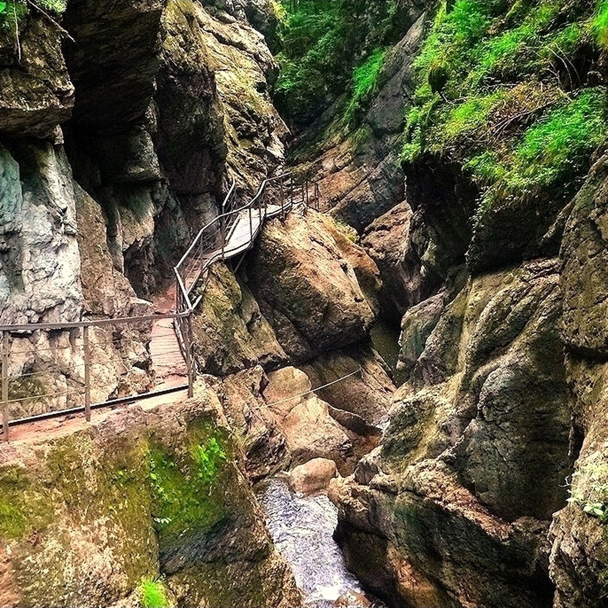
Jogging routes Gunzesried are situated within the Nagelfluhkette Nature Park, characterized by an alpine landscape featuring lush forests, picturesque valleys, and winding rivers. The Gunzesrieder Ach river carves its way through forests and meadows, creating scenic gorges like the Gunzesrieder Klamm. The region also includes mountains such as the Grünten Summit and Mittagberg, offering varied terrain for runners.
Best jogging routes around Gunzesried
- The most popular jogging route is Mittagbahn Summit Station – Gunzesrieder Ach Gorge Trail loop from Gunzesried…
Last updated: September 28, 2026
48
runners
Hard run. Very good fitness required. Sure-footedness, sturdy shoes and alpine experience required.
41
runners
5.76km
00:45
210m
210m
Hard run. Good fitness required. Sure-footedness, sturdy shoes and alpine experience required.

4.0
(1)
46
runners
Hard run. Very good fitness required. Sure-footedness, sturdy shoes and alpine experience required.
31
runners
8.89km
01:22
560m
560m
Hard run. Very good fitness required. Sure-footedness, sturdy shoes and alpine experience required.
27
runners
7.63km
01:01
270m
270m
Hard run. Good fitness required. Sure-footedness, sturdy shoes and alpine experience required.
Get access to more routes and recommendations from other explorers.
Already have an account?
Our route recommendations are based on thousands of hikes, rides, and runs completed by other people on komoot.
Start today with a free account
Your next adventure awaits.
Popular around Gunzesried

Maximilian Trail in Germany — Lake Constance to Königssee
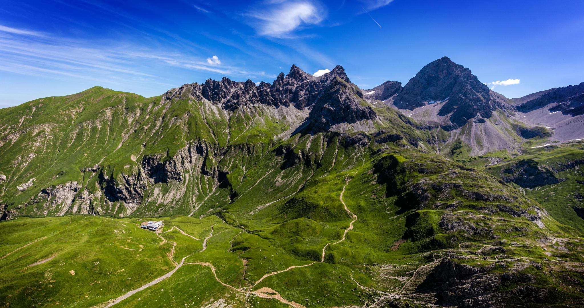
Alpenblick im Allgäu – 8 Wanderungen mit Bergpanorama
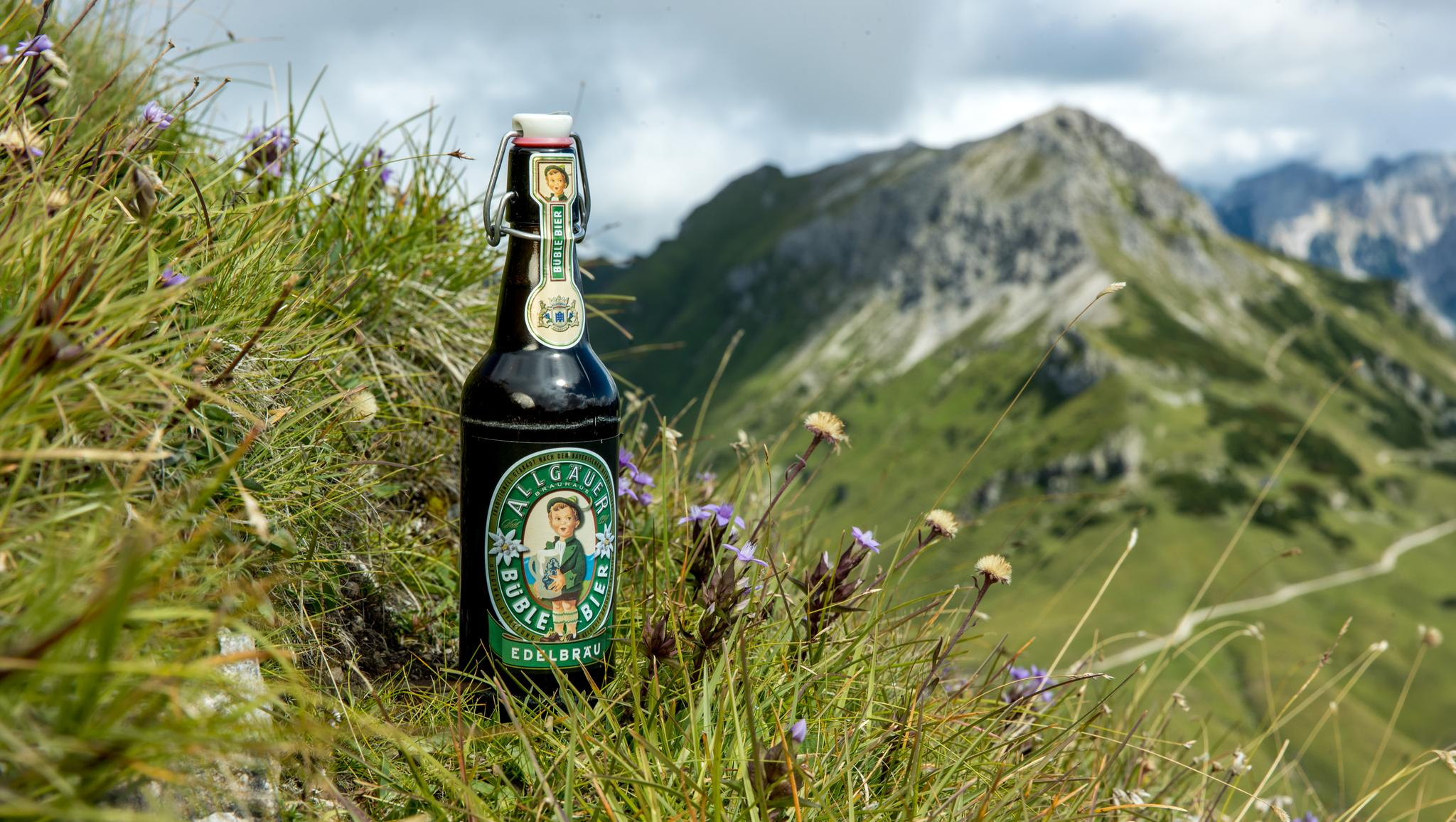
Gipfelglück im Allgäu – 8 Wanderungen mit Weitblick
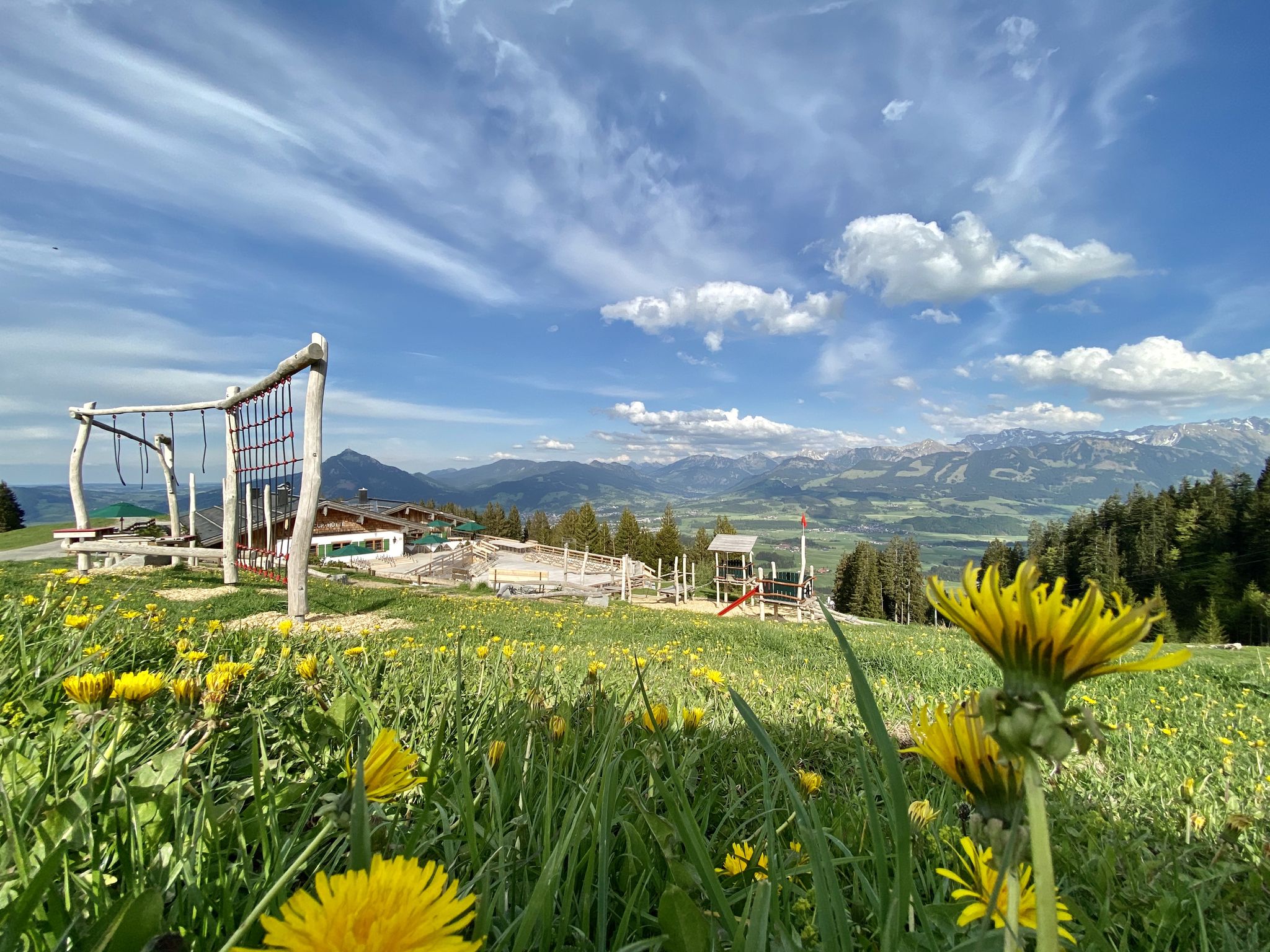
Hörnerdörfer - Themenwege
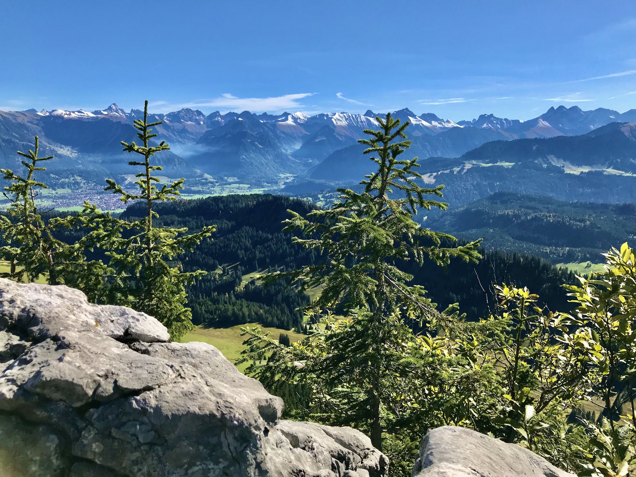
Hörnerdörfer - Aussichtsreiche Gipfelwanderungen
Hiking around Gunzesried
Road Cycling Routes around Gunzesried
MTB Trails around Gunzesried
Cycling around Gunzesried
Gravel biking around Gunzesried
Other adventures around Gunzesried


Tips from the Community

After the final short climb, you can now enjoy the view from the summit cross. Three benches and tables invite you to enjoy a snack on the mountain. If the weather is nice, you can also take a break directly on the meadow.
4
0

After the alpine pasture, we went right up to the Bärenköpfle with its summit cross... the Steineberg is difficult to manage with four dogs. It was more than worth it! 👌🏼
1
0

The café is called Zenzimilia! and it's fantastic. You can pay by card, the staff is friendly, and the food is delicious.
0
0
The Alpe is located on the way from Mittagberg back to the valley (e.g. to Gunzesried) about 20-30 minutes walk after the summit station of the cable car and is certainly a nice alternative if you can handle it due to hunger and thirst.
1
0
Komoot shows the actual summit about 10 minutes south. The path there is marked as a dashed line and is easy to walk in good weather conditions. The "actual summit" of the Bärenkopf, however, is quite unspectacular.
0
0
The self-service café is perfectly located for hikes, bike rides, or just a casual day out. You order and pay at the counter inside, and you can take your order outside right away. There are various fresh, delicious cakes, all kinds of coffee concoctions, and even a hearty bread plate. The selection of refreshing drinks ranges from Aperol Spritz to Spezi to non-alcoholic wheat beer. There's something for everyone. You can pay with cash or card (including debit/credit), and the staff is super friendly. 👍
0
0

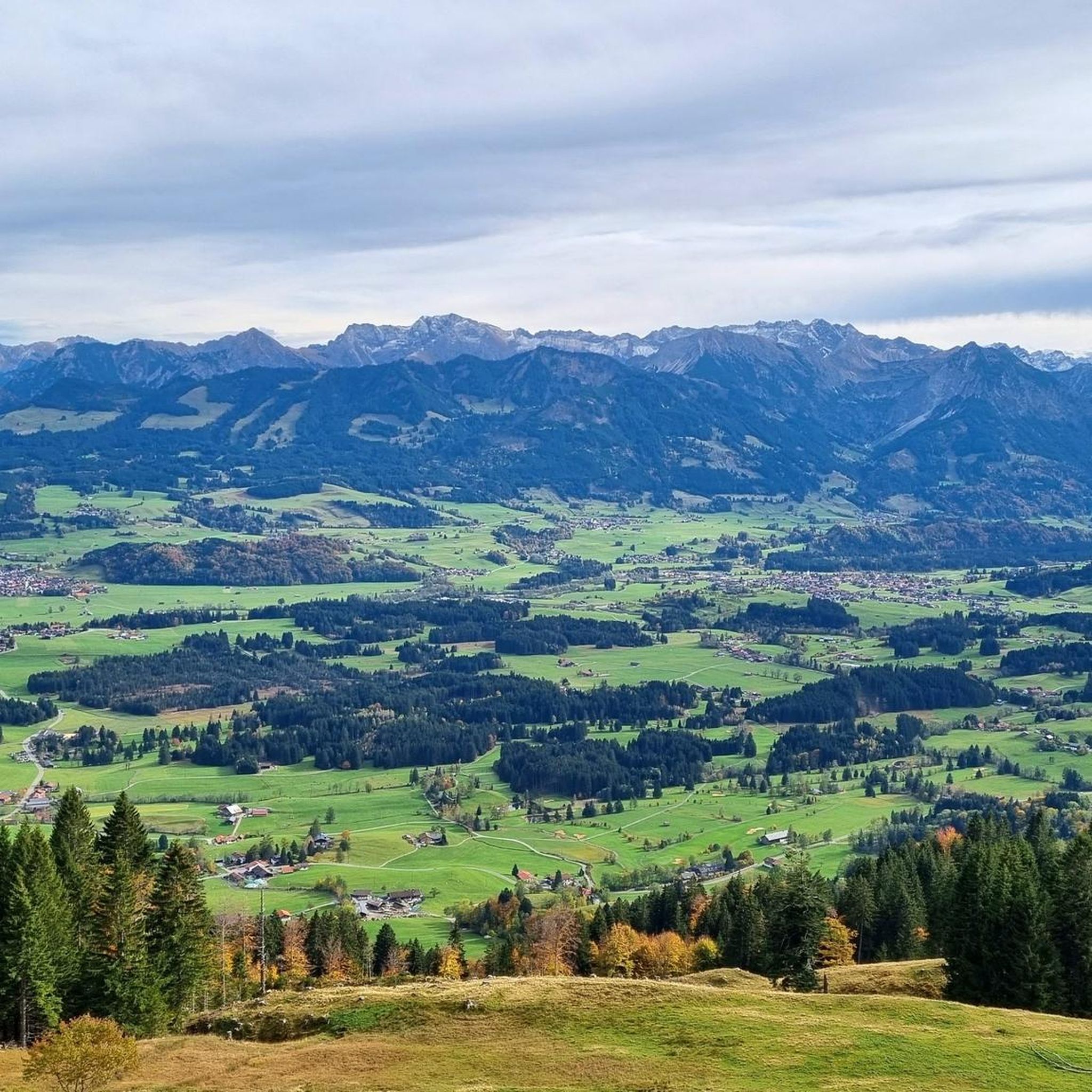
Very beautiful valley in which Gunzesried is located
0
0

Fancy a rest? You'll pass here on the way from Gunzesried to Steineberg or Mittag.
0
0
Frequently Asked Questions
How many running routes are available around Gunzesried?
There are over 20 dedicated running routes around Gunzesried, offering a variety of experiences. The komoot community has rated these routes highly, with an impressive average score of 4.7 stars.
Are there any easy or beginner-friendly jogging routes in Gunzesried?
The jogging routes around Gunzesried are primarily characterized by their alpine terrain, with many featuring significant elevation changes. According to our data, all 20 routes are currently classified as difficult, making them more suitable for experienced runners. However, the region offers diverse landscapes, so you might find sections of longer routes that are less challenging.
What kind of natural sights can I expect to see along the running trails?
Gunzesried, nestled in the Nagelfluhkette Nature Park, offers stunning natural features. You can expect to run alongside the winding Gunzesrieder Ach river, through lush forests, and past picturesque valleys. Notable natural attractions include the Starzlach Gorge and the captivating Hinanger Waterfall. Many routes also provide panoramic views from various summits.
Are there any circular jogging routes in the Gunzesried area?
Yes, many of the running routes around Gunzesried are designed as loops, allowing you to start and finish in the same location. For example, the challenging Steineberg Summit loop from Gunzesried is a popular option that takes you through mountain landscapes.
Can I bring my dog on the running trails in Gunzesried?
The Nagelfluhkette Nature Park, where Gunzesried is located, generally welcomes dogs on trails, but they must be kept on a leash to protect wildlife and livestock. Always check local signage for specific rules on individual routes or protected areas.
Are there any jogging routes that pass by waterfalls or gorges?
Absolutely! The region is known for its impressive natural gorges and waterfalls. You can explore the scenic Gunzesrieder Gorge, or run near the beautiful Hinanger Waterfall, which is particularly stunning with its autumn colors or winter ice formations. The popular Mittagbahn Summit Station – Gunzesrieder Ach Gorge Trail loop from Gunzesried specifically highlights a gorge section.
What is the best time of year for running in Gunzesried?
Gunzesried offers diverse experiences throughout the year. Spring and summer are ideal for enjoying lush meadows and clear mountain air. Autumn brings spectacular colors, especially around the Hinanger Waterfall. In winter, the landscape transforms, offering opportunities for snowshoeing and cross-country skiing, though some running trails might be covered in snow or ice, requiring appropriate gear.
Are there any running routes with good viewpoints or summit experiences?
Yes, Gunzesried is surrounded by majestic mountains offering stunning panoramic views. Routes often lead to summits like the Grünten Summit or the Ofterschwanger Horn, providing rewarding vistas. The Rangiswanger Horn summit cross – Fahnengehrenalpe loop from Gunzesried is a challenging path known for its extensive views.
Are there options for parking near the trailheads in Gunzesried?
Yes, Gunzesried is generally well-equipped for visitors arriving by car. You will find various parking areas available near popular trailheads and within the village itself, making it convenient to access the running routes. Specific parking details are often available on individual route pages on komoot.
Can I find refreshments or cafes along the running routes?
While many routes traverse natural landscapes, some do pass by traditional alpine huts or guesthouses where you can stop for refreshments. For instance, the Grünten Summit is accessible via routes that might include stops at places like Schwandalpe for local cheese bread. One route, Café Zenzimilia – Winkelwiesen Alpe loop from Gunzesried, even has a cafe in its name, suggesting a refreshment stop.
What makes running in Gunzesried unique compared to other regions?
Running in Gunzesried offers a unique blend of alpine challenge and natural beauty within the Nagelfluhkette Nature Park. The region is characterized by its dramatic gorges, winding rivers like the Gunzesrieder Ach, and impressive summits, providing a varied and engaging experience. The high average rating from the komoot community reflects the exceptional quality and scenic appeal of these trails.
Most popular routes around Gunzesried
Most popular attractions around Gunzesried

Get inspired with the komoot mobile app


Explore more
Browse the best Running Trails & Routes in other regions.
