The best traffic-free bike rides around Gunzesried
4.5
(10683)
72,471
riders
297
rides
No traffic touring cycling routes around Gunzesried traverse a landscape characterized by picturesque alpine and pre-alpine scenery. Cyclists can expect paths through lush green meadows, rolling hills, and valleys with views of the majestic Allgäu Mountains. Routes often lead past clear streams and lakes, with preserved natural areas like Wildschutzgebiet Wiesach offering serene cycling experiences. The region also features forests, providing shaded paths and varied terrain for touring cyclists.
Best no traffic touring cycling routes around Gunzesried
- The most popular…
Last updated: September 30, 2026
4.9
(28)
324
riders
42.6km
03:35
1,260m
1,260m
Hard bike ride. Very good fitness required. You may need to push your bike for some segments of this route.
4.5
(6)
86
riders
22.2km
01:57
820m
820m
Hard bike ride. Very good fitness required. Mostly paved surfaces. Suitable for all skill levels.

4.1
(12)
84
riders
Moderate bike ride. Good fitness required. Mostly paved surfaces. Suitable for all skill levels.
5.0
(3)
16
riders
14.7km
01:03
160m
160m
Moderate bike ride. Good fitness required. Mostly paved surfaces. Suitable for all skill levels.
5.0
(4)
22
riders
25.2km
02:31
1,090m
1,090m
Hard bike ride. Very good fitness required. Mostly paved surfaces. Suitable for all skill levels.
Get access to more routes and recommendations from other explorers.
Already have an account?
Our route recommendations are based on thousands of hikes, rides, and runs completed by other people on komoot.
Start today with a free account
Your next adventure awaits.
Popular around Gunzesried

Maximilian Trail in Germany — Lake Constance to Königssee
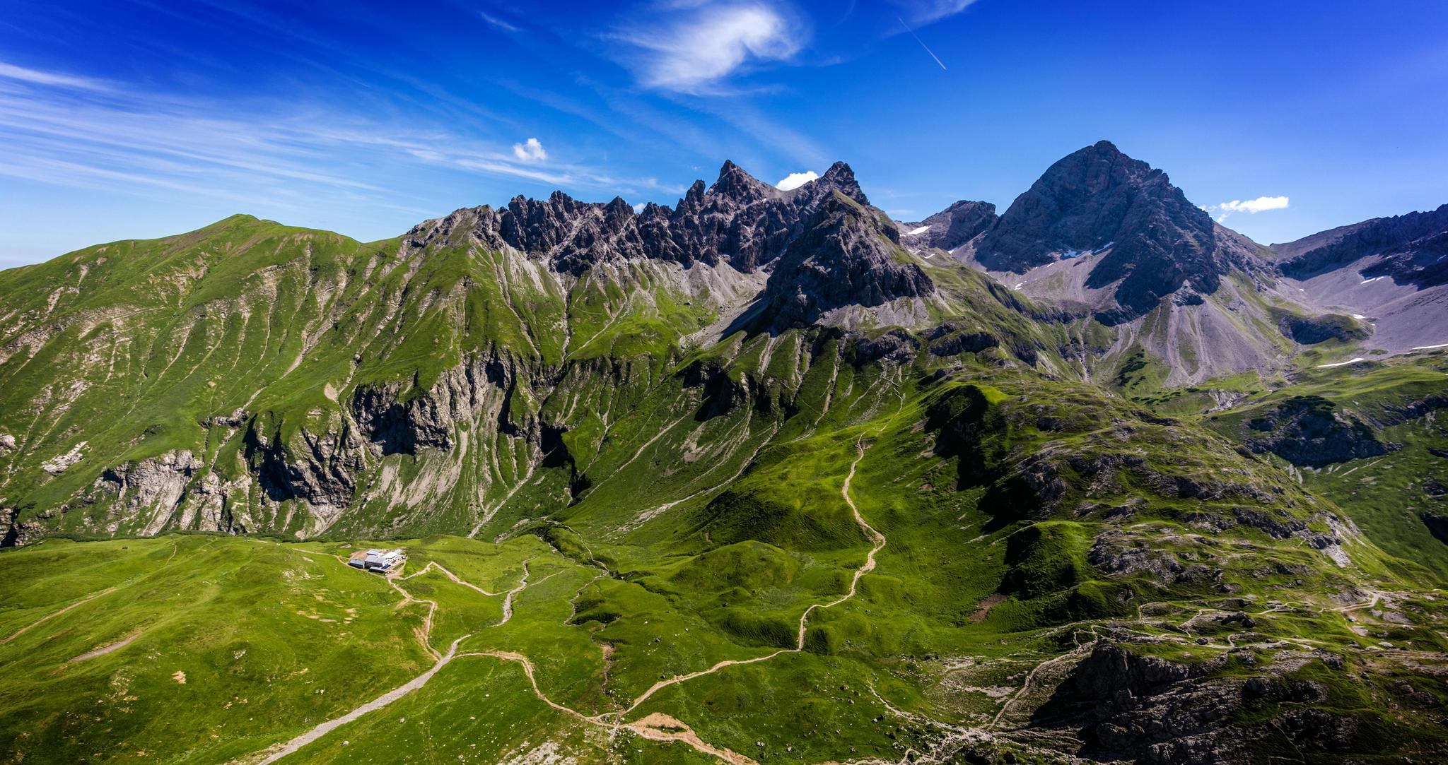
Alpenblick im Allgäu – 8 Wanderungen mit Bergpanorama
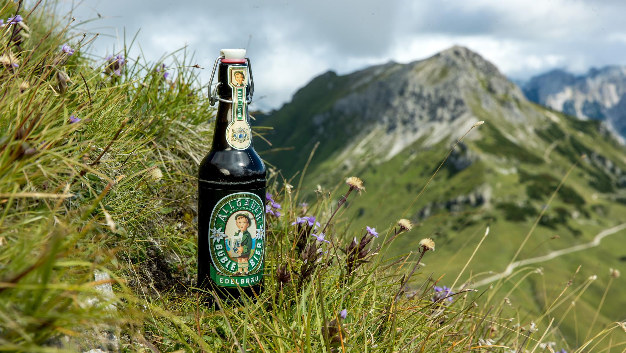
Gipfelglück im Allgäu – 8 Wanderungen mit Weitblick
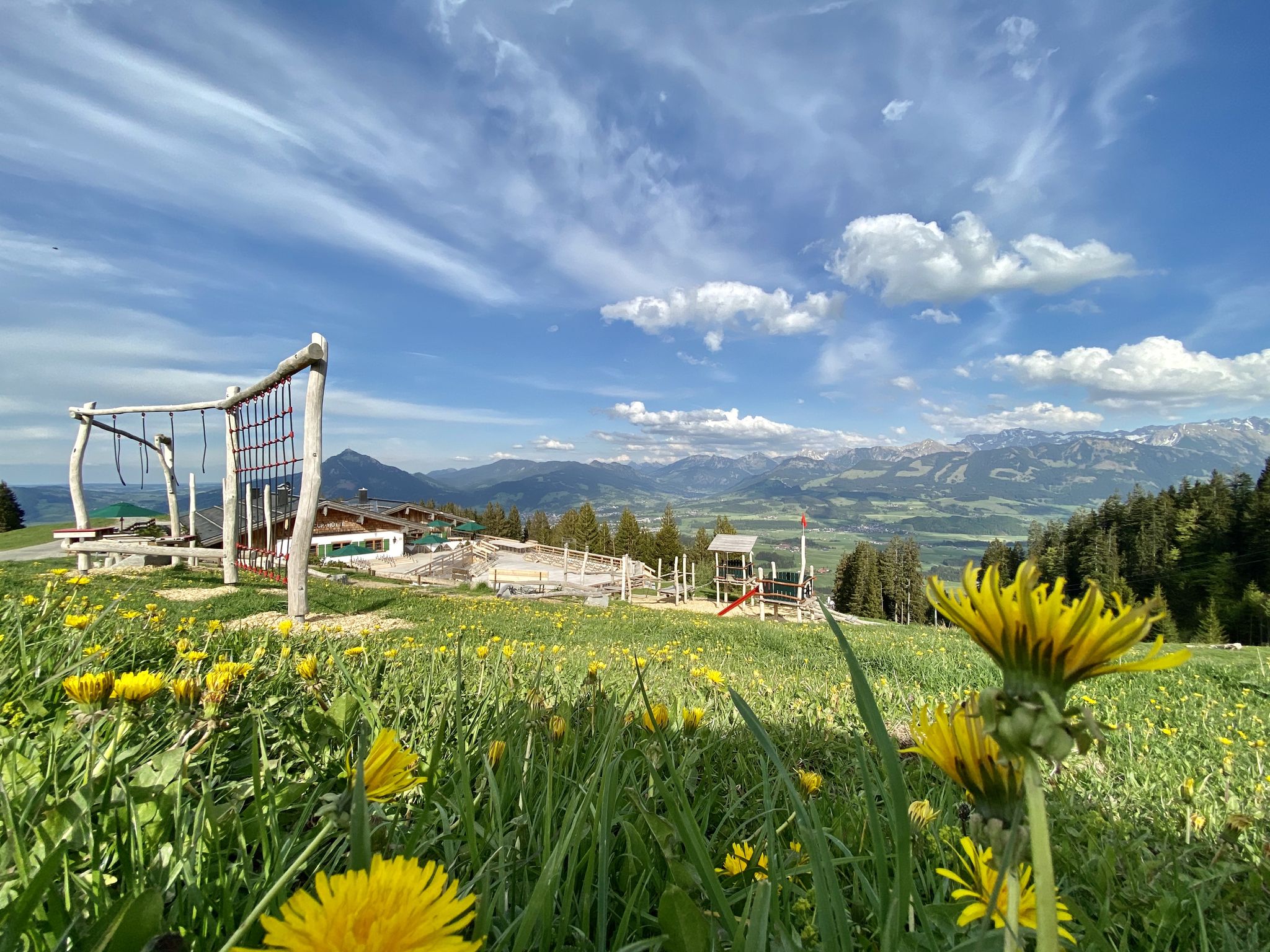
Hörnerdörfer - Themenwege
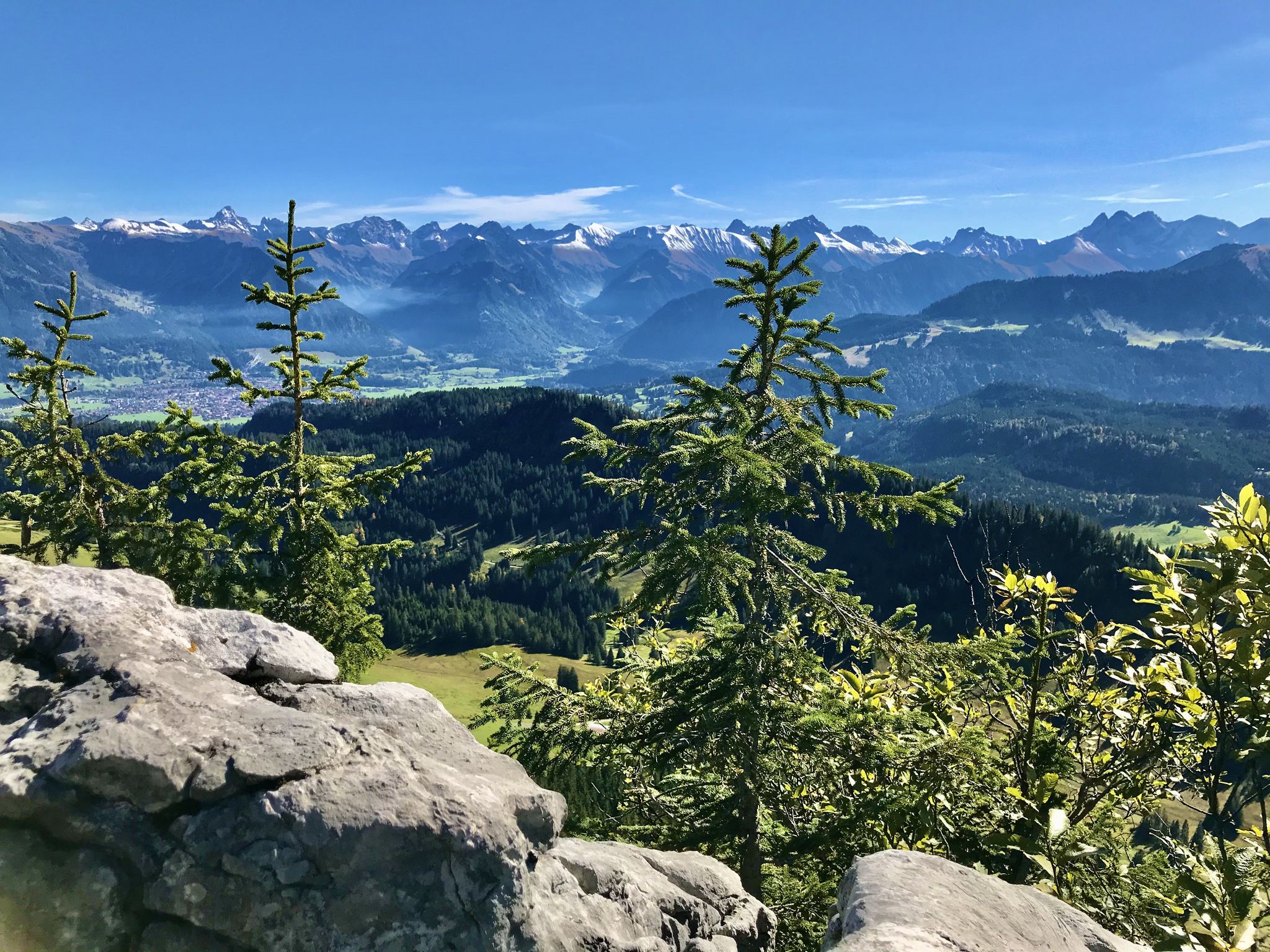
Hörnerdörfer - Aussichtsreiche Gipfelwanderungen
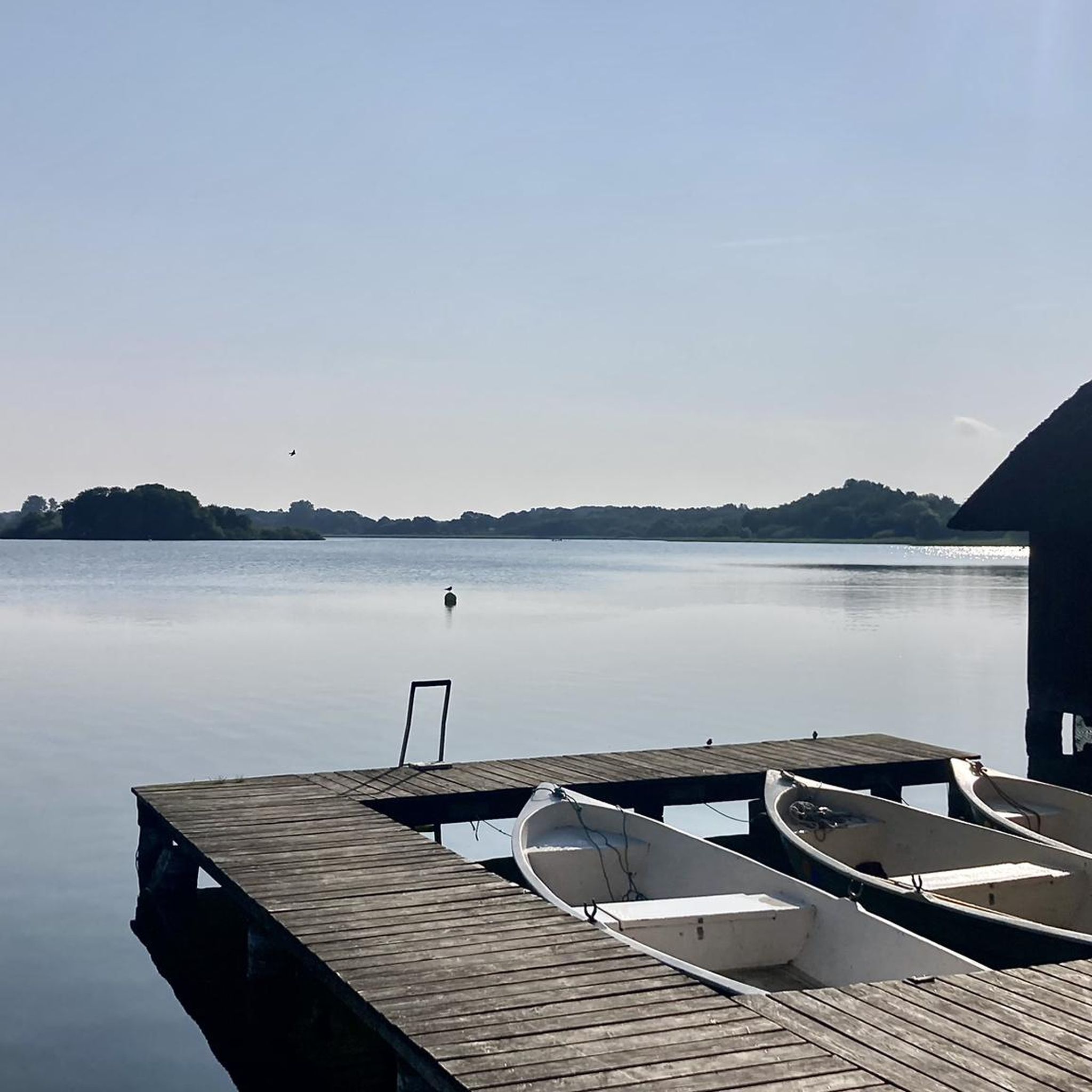
Traffic-free bike rides around Gunzesried
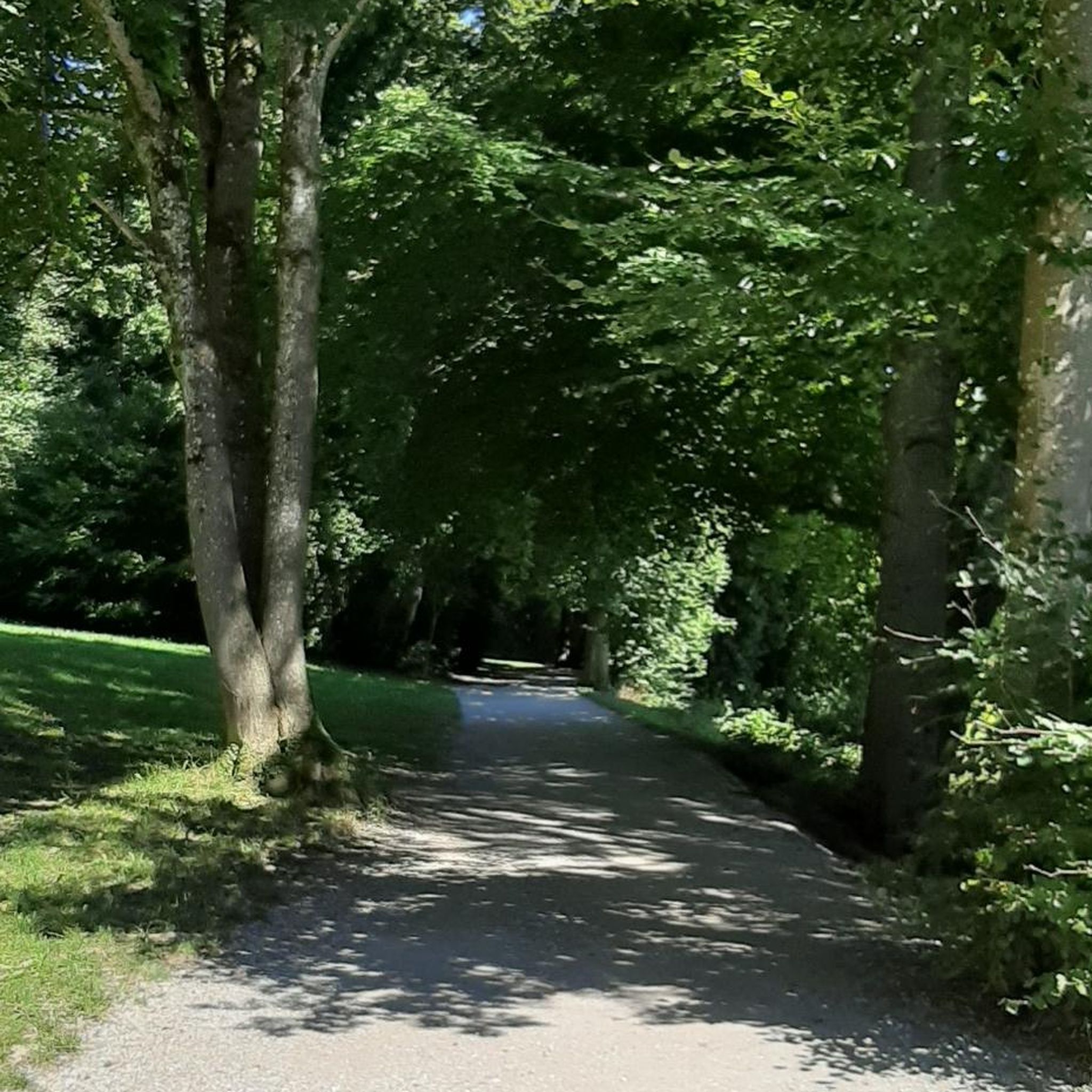
Traffic-free bike rides around Gunzesried
Other adventures around Gunzesried


Tips from the Community

Everywhere on this tour are magnificent Alpine panoramas.
0
0


The parish church of St. Anton in Balderschwang, located at 1,044 meters, is one of the highest parish churches in Germany. It is known to many people through Radio Horeb, which broadcasts from here.
8
0

In good weather, Bolsterwang offers a beautiful view of the Alpine panorama.
0
0

Very steep and relatively long, you should bring enough water and food with you.
0
0

Small waterfall that can be seen from the bridge
2
0
Beautiful covered bridge with wooden roof
2
0
Newly designed fountain in Bosterlang
2
0
Frequently Asked Questions
How many no-traffic touring cycling routes are available around Gunzesried?
There are over 300 dedicated no-traffic touring cycling routes around Gunzesried listed on komoot. These routes offer a wide range of distances and elevations, catering to various fitness levels.
What kind of terrain can I expect on these car-free touring routes?
The terrain around Gunzesried is diverse, ranging from lush meadows and rolling hills to more challenging alpine ascents. You'll find routes that traverse dedicated cycle paths, gravel paths, and natural trails, often alongside clear streams and with views of the majestic Allgäu Mountains.
Are there easy no-traffic touring routes suitable for beginners or casual cyclists?
Yes, Gunzesried offers a good selection of easier routes. Out of the over 300 routes, 85 are rated as easy, providing a gentle introduction to touring cycling in the region without traffic. These typically feature less elevation gain and smoother surfaces.
Can I find routes that are suitable for families with children?
While specific family-friendly routes are not explicitly tagged, many of the easier and moderate no-traffic routes are suitable for families. Look for routes with lower elevation gain and shorter distances, often found along valley paths, which provide a safe and enjoyable experience away from cars.
Are there any circular no-traffic touring routes around Gunzesried?
Yes, many of the touring cycling routes around Gunzesried are designed as loops, allowing you to start and end at the same point. Examples include the challenging Leckner Lake – Neuschwand Snack Hut loop from Wildschutzgebiet Wiesach or the scenic View of Grünten – Leckner Lake loop from Gunzesried.
What natural attractions or landmarks can I see along these routes?
The routes often pass by stunning natural features. You might encounter the impressive Starzlach Gorge, the beautiful Hinanger Waterfall, or the serene Iller Source. Many routes also offer panoramic views from various summits like Grünten Summit or Ofterschwanger Horn.
What is the best time of year to go touring cycling in Gunzesried?
The best time for touring cycling in Gunzesried is generally from spring through autumn (May to October). During these months, the weather is typically mild, and the trails are clear of snow. The lush green meadows and clear streams are particularly beautiful in late spring and summer, while autumn offers vibrant foliage.
Are there any routes that pass by waterfalls?
Yes, several routes offer the chance to see waterfalls. For instance, the View of the Allgäu Mountains – Obermaiselstein Waterfall loop from Ofterschwang specifically highlights a waterfall. You can also find the Hinanger Waterfall and Gaisalpbach Waterfalls as highlights in the region.
What do other cyclists say about the no-traffic touring routes in Gunzesried?
The komoot community highly rates the touring cycling experience in Gunzesried, with an average score of 4.56 stars. Reviewers often praise the region's stunning alpine scenery, the variety of well-maintained paths, and the peaceful, car-free environment that allows for an immersive outdoor experience.
Are there options for longer, more challenging no-traffic touring rides?
Absolutely. For experienced cyclists seeking a challenge, there are 116 routes rated as difficult. These often involve significant elevation gains, such as the View of the Allgäu Mountains – Hörnerbahn Valley Station loop from Ofterschwang, and can extend for longer distances, providing a rewarding workout amidst breathtaking landscapes.
Can I bring my dog on these touring cycling routes?
Many of the no-traffic routes in Gunzesried are suitable for cycling with dogs, especially those on wider paths or gravel trails. However, it's always recommended to check specific route details and local regulations regarding dogs, particularly in nature reserves or on narrower singletrack sections.
Most popular routes around Gunzesried
Most popular attractions around Gunzesried

Get inspired with the komoot mobile app


Explore more
Browse the best Cycling routes in other regions.
