The best gravel rides around Gunzesried
4.6
(420)
3,344
riders
90
rides
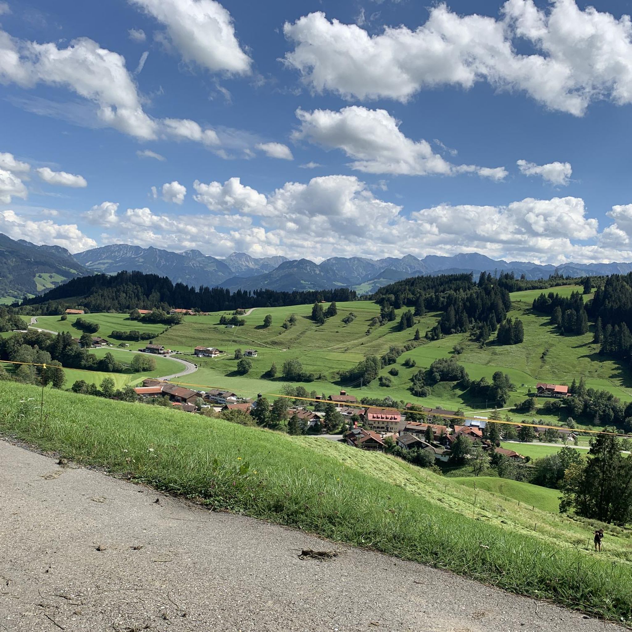
Gravel biking around Gunzesried offers a diverse landscape within the Allgäu region of Bavaria, Germany. The area is characterized by its mountainous terrain, high valleys like the Gunzesrieder Hochtal, and extensive networks of forest and meadow paths. Riders can expect varied surfaces, including both paved and unpaved sections, with significant elevation changes that provide challenging climbs and descents. Numerous water features, such as the Iller River and surrounding lakes, also contribute to the scenic routes available.
Best gravel bike trails…
Last updated: October 1, 2026
4.8
(16)
142
riders
71.9km
04:39
1,440m
1,440m
Hard gravel ride. Very good fitness required. Mostly paved surfaces. Suitable for all skill levels.
4.9
(17)
141
riders
Hard gravel ride. Very good fitness required. Mostly paved surfaces. Suitable for all skill levels.

4.7
(3)
28
riders
62.1km
04:06
1,180m
1,180m
Hard gravel ride. Very good fitness required. You may need to push your bike for some segments of this route.
5.0
(6)
46
riders
Hard gravel ride. Very good fitness required. Mostly paved surfaces. Suitable for all skill levels.
4.5
(4)
47
riders
40.7km
02:36
400m
400m
Moderate gravel ride. Good fitness required. Mostly paved surfaces. Suitable for all skill levels.
Get access to more routes and recommendations from other explorers.
Already have an account?
Our route recommendations are based on thousands of hikes, rides, and runs completed by other people on komoot.
Start today with a free account
Your next adventure awaits.
Popular around Gunzesried

Maximilian Trail in Germany — Lake Constance to Königssee
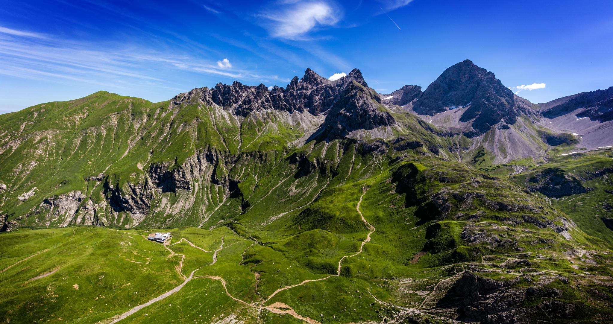
Alpenblick im Allgäu – 8 Wanderungen mit Bergpanorama
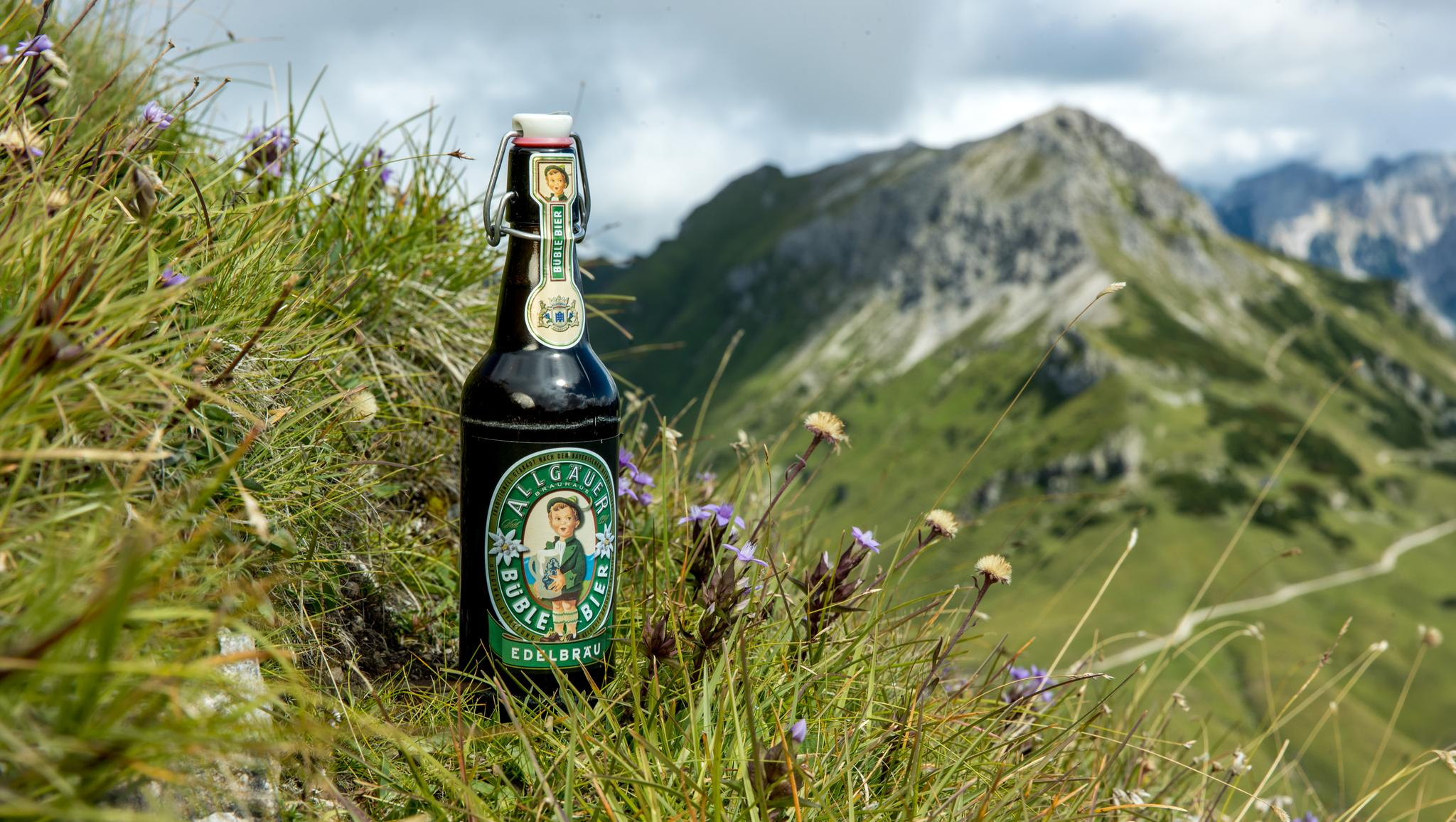
Gipfelglück im Allgäu – 8 Wanderungen mit Weitblick
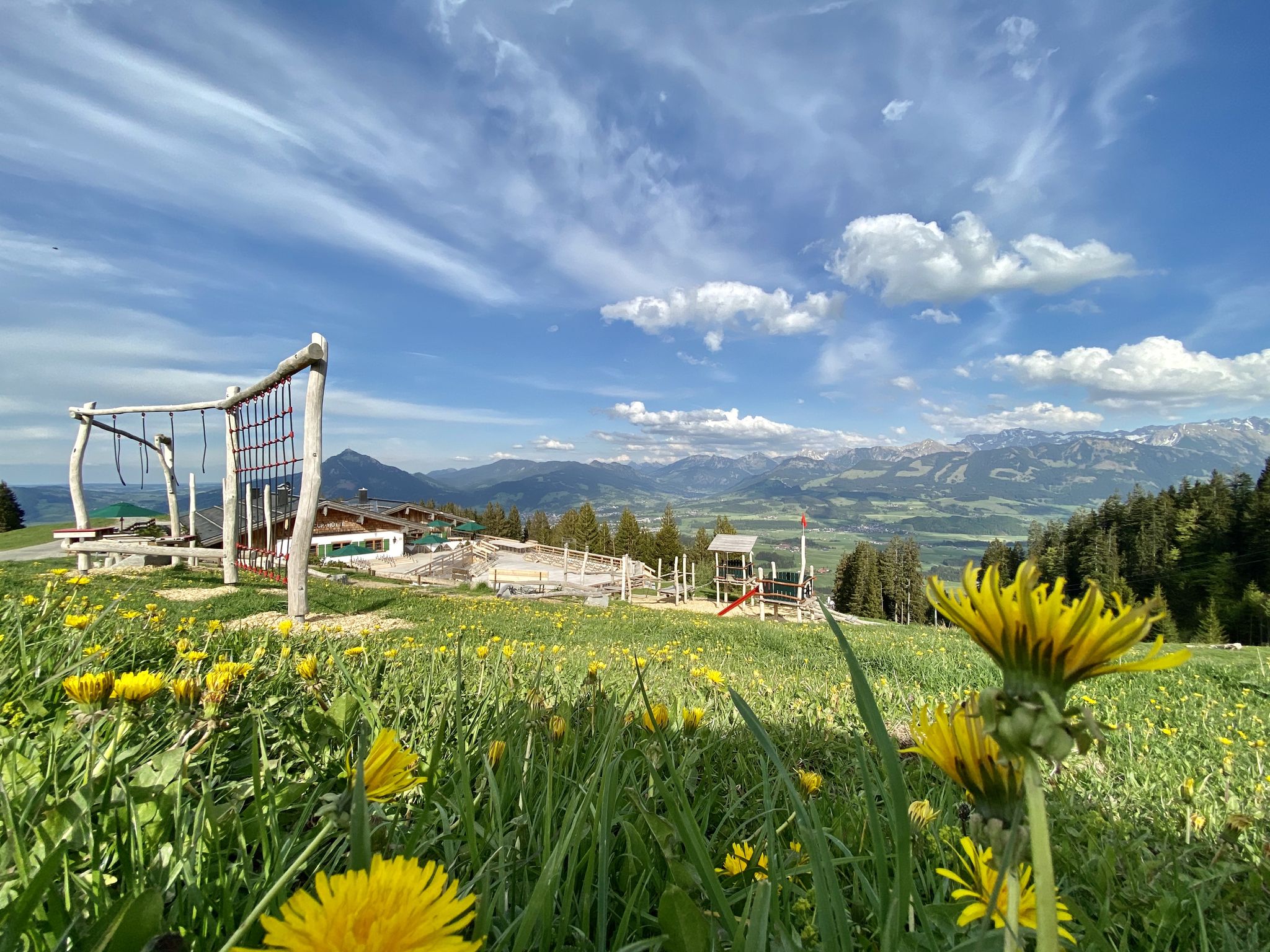
Hörnerdörfer - Themenwege
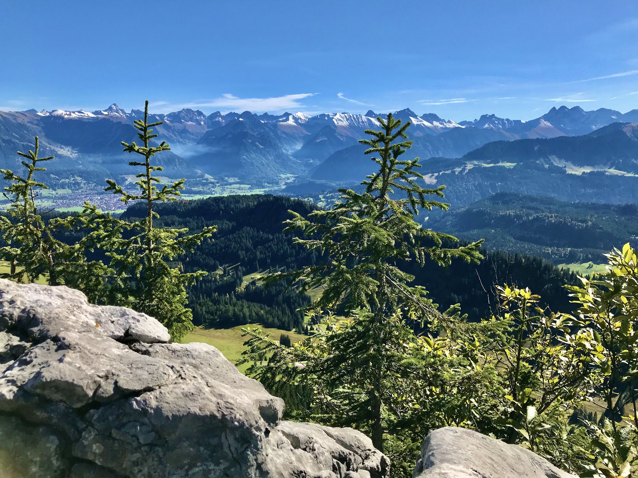
Hörnerdörfer - Aussichtsreiche Gipfelwanderungen
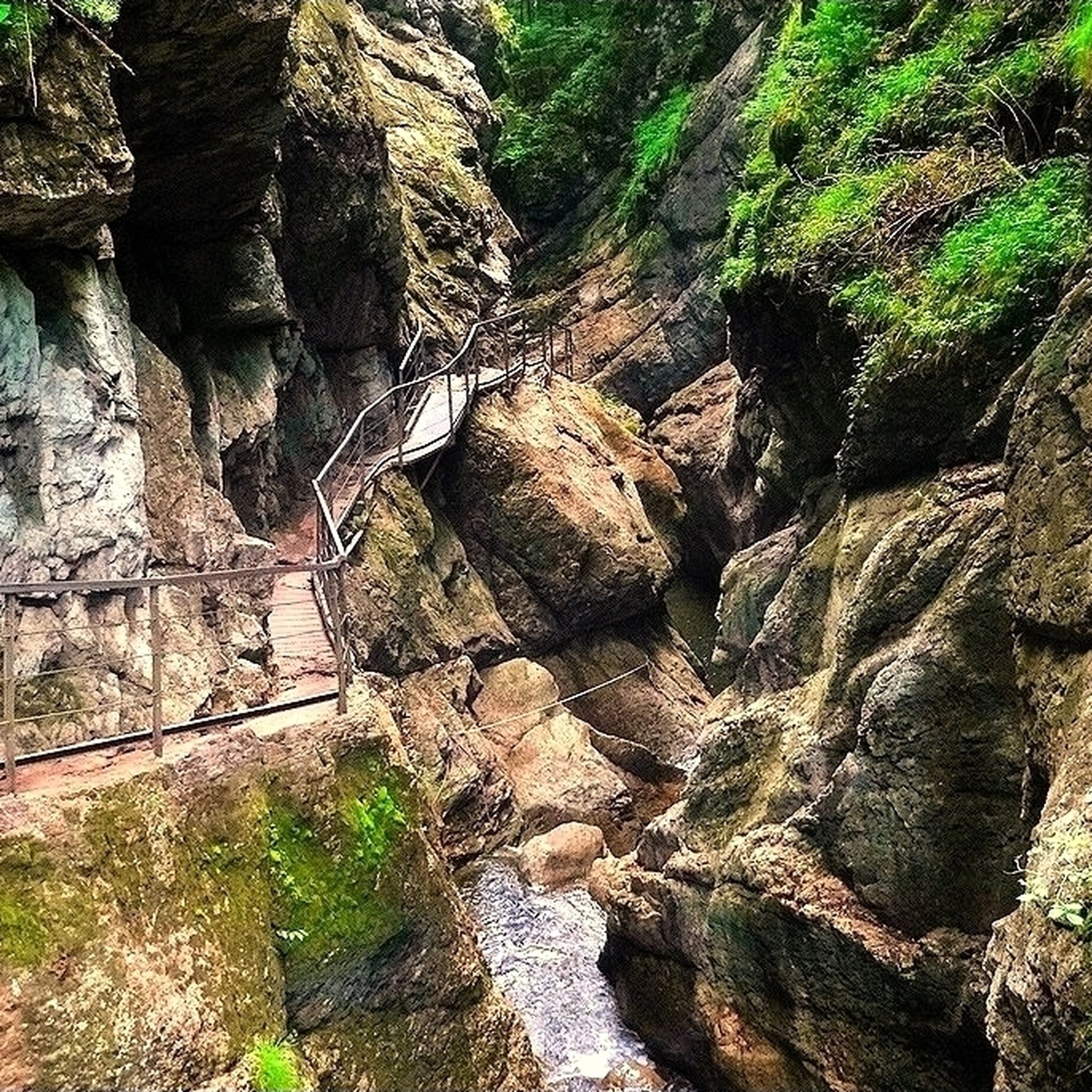
Hiking around Gunzesried
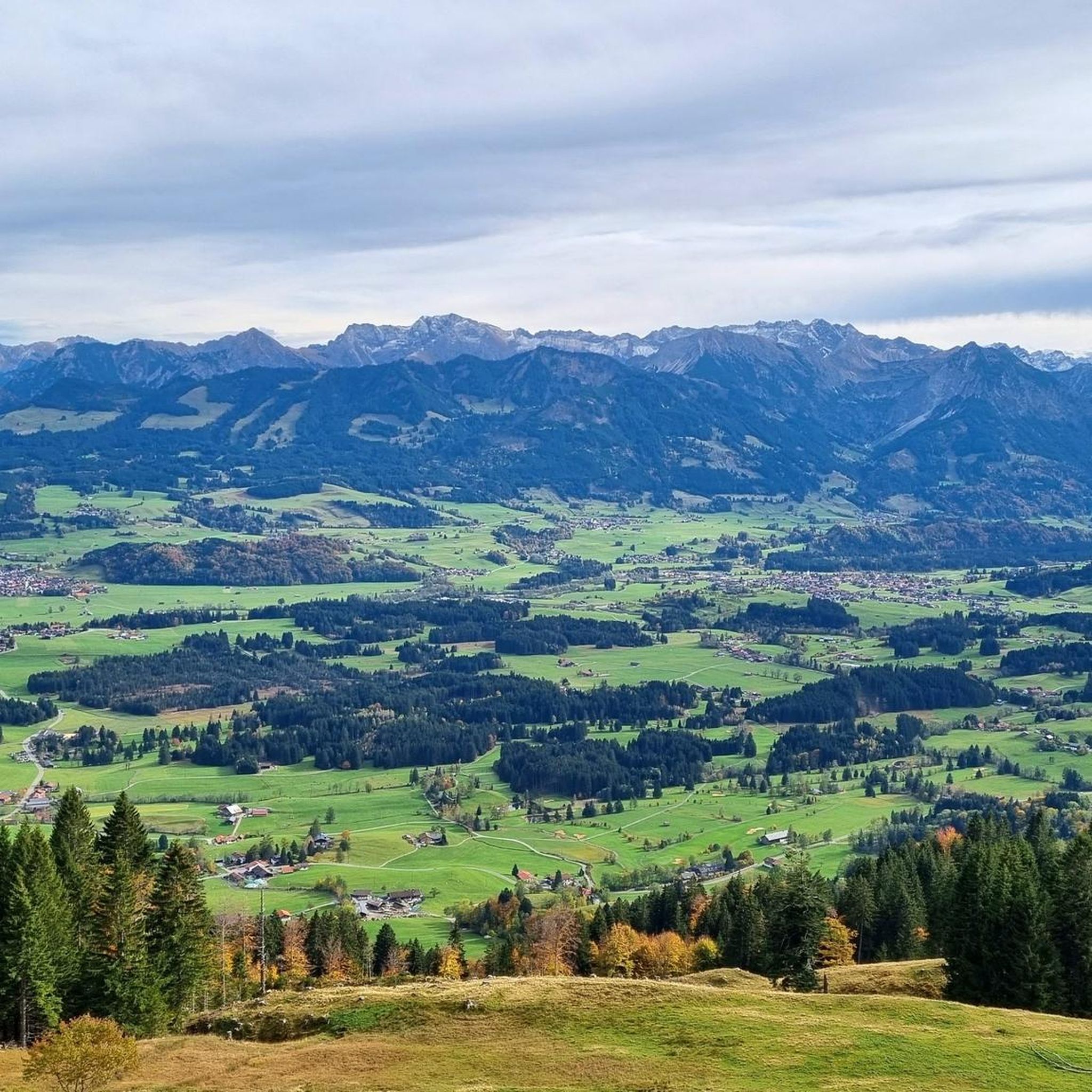
Road Cycling Routes around Gunzesried
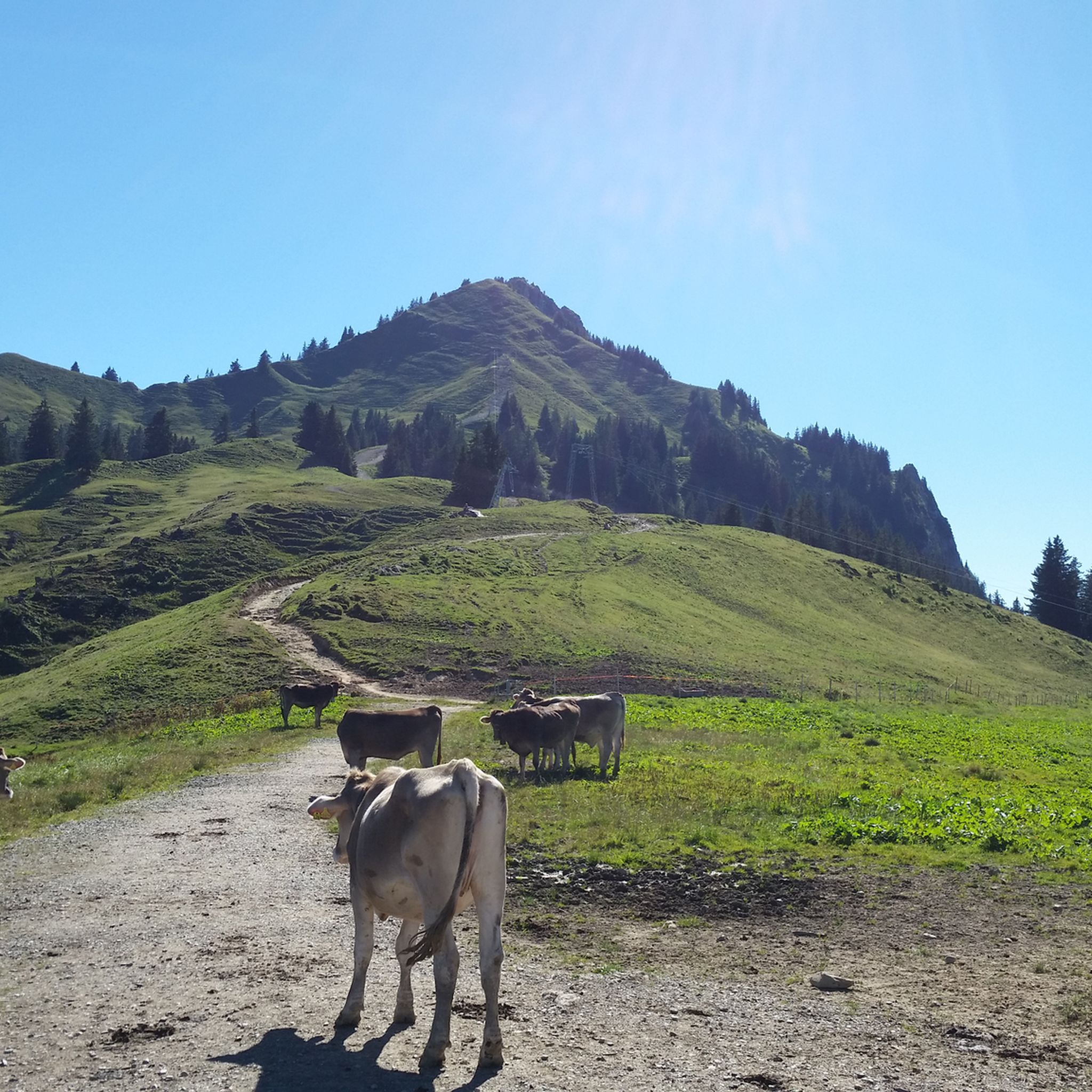
MTB Trails around Gunzesried
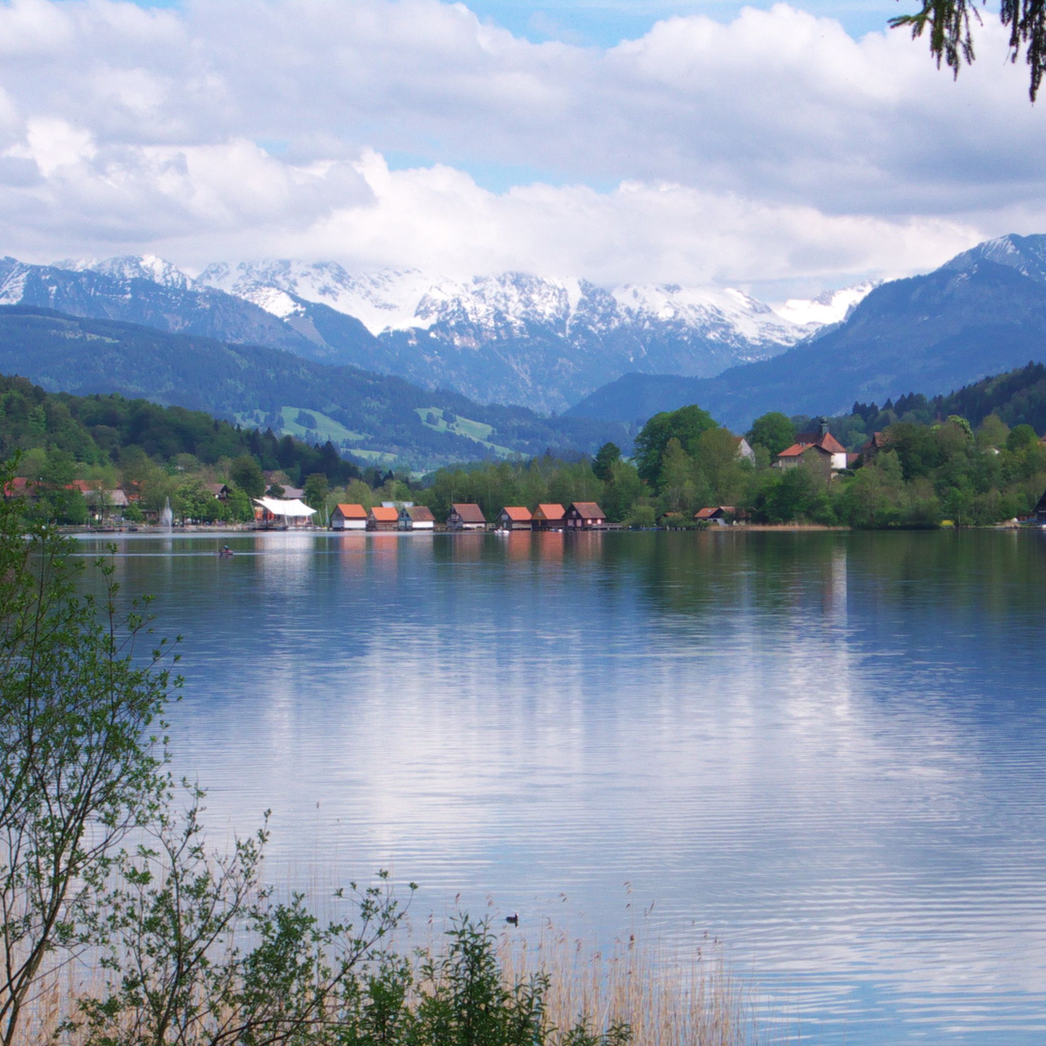
Cycling around Gunzesried
Running Trails around Gunzesried
Other adventures around Gunzesried


Tips from the Community


A fantastically beautiful area, a tour here is really great.
0
0
Super beautiful surroundings here, where you can do many beautiful hikes or bike tours.
0
0

The Hörnlepass by bike is a delight. Always beautiful views and beautiful nature.
0
0

The view is always breathtakingly beautiful
0
0

The Breitach is a 21 km long source river of the Iller. At the source of the Iller, it joins with the Trettach and the Stillach to form the Iller.
0
1

The Alpe Schattenwald in the Roormoos valley invites you to linger.
1
0
The Iller cycle path between Sonthofen and Oberstdorf is consistently well-developed, with a firm and slightly gravelly surface.
0
0
Frequently Asked Questions
How many gravel bike trails are available in Gunzesried?
Gunzesried offers a wide selection of gravel bike trails, with over 130 routes to explore. These range from easier paths to challenging climbs, ensuring options for various skill levels.
Are there any easy gravel bike trails suitable for beginners or families in Gunzesried?
Yes, Gunzesried provides 14 easy gravel bike routes, perfect for beginners or families looking for a more relaxed ride. These trails often traverse meadows and less-trafficked areas, allowing for a pleasant experience amidst nature.
What kind of terrain can I expect on gravel bike trails around Gunzesried?
The terrain around Gunzesried is highly diverse, featuring mountainous landscapes, high valleys like the Gunzesrieder Hochtal, and extensive networks of forest and meadow paths. You'll encounter a mix of paved and unpaved sections, including loose gravel, with significant elevation changes that offer both challenging ascents and rewarding descents.
What are some of the most scenic viewpoints along the gravel bike routes in Gunzesried?
Many routes offer breathtaking views of the alpine landscape. For instance, the Source of the Iller – View of the Oytal Valley loop from Sonthofen provides panoramic vistas over the Oytal Valley. Another route, View over Oberstdorf – View from Hörnlepass loop from Sonthofen, also offers stunning perspectives of the surrounding peaks and valleys.
Are there any waterfalls or gorges I can visit while gravel biking in Gunzesried?
Absolutely! The region is rich in water features. You can explore the dramatic Starzlach Gorge or visit the beautiful Hinanger Waterfall. The The Stag's Leap Gorge – Starzlach Valley loop from Blaichach (Allgäu) specifically incorporates the Starzlach Gorge into its route.
What do other gravel bikers enjoy most about the trails in Gunzesried?
The komoot community highly rates the gravel biking experience in Gunzesried, with an average score of 4.6 stars from over 390 reviews. Riders frequently praise the diverse landscapes, the challenging climbs, and the stunning natural beauty, including the high valleys and numerous water features.
Are there any routes that explore the Iller River or nearby lakes?
Yes, the Iller River, whose source is nearby, offers scenic routes along its banks. The Source of the Iller – View of the Oytal Valley loop from Sonthofen is a great option to explore the river's origins. Additionally, the surrounding area features eight lakes that can be incorporated into your rides for picturesque views.
Can I find challenging gravel bike routes with significant elevation gain in Gunzesried?
Definitely. Gunzesried is known for its challenging routes, with 75 difficult trails available. These routes often involve considerable elevation changes, reaching up to 1750 meters, providing demanding climbs and thrilling descents for experienced gravel cyclists. An example is the Lecknertal Valley – Rohrmoos Valley loop from Blaichach (Allgäu), which features over 1400 meters of elevation gain.
Are there any historical or cultural points of interest along the gravel routes?
While the focus is on natural beauty, the region is known for its traditional Alpine farming ('Alpwirtschaft'). You might encounter mountain huts and guesthouses along your routes where you can enjoy local produce and gastronomy. The Old Salt Road Trail – View of the Allgäu Alps loop from Sonthofen hints at historical trade routes in the area.
What is the best time of year for gravel biking in Gunzesried?
The best time for gravel biking in Gunzesried is generally from spring through autumn when the weather is milder and the trails are clear of snow. The varied terrain and high valleys mean conditions can change, so checking local forecasts is always recommended.
Are there any circular gravel bike routes in Gunzesried?
Yes, many of the gravel bike routes in Gunzesried are designed as loops, allowing you to start and finish at the same point. Examples include the popular Lecknertal Valley – Rohrmoos Valley loop from Blaichach (Allgäu) and the Source of the Iller – View of the Oytal Valley loop from Sonthofen.
Are there opportunities to see mountain peaks from the gravel bike trails?
Absolutely. The Gunzesried region is part of the Allgäu Alps, offering numerous opportunities to view impressive peaks. Some routes provide views of notable summits like Grünten Summit or the View from the summit of Ofterschwanger Horn, even if you're not cycling directly to the top.
Most popular routes around Gunzesried
Most popular attractions around Gunzesried

Get inspired with the komoot mobile app


Explore more
Browse the best Gravel rides in other regions.
