The best walks and hikes around Bezirk Kirchdorf
4.6
(19535)
130,044
hikers
1,294
hikes
Hiking trails around Bezirk Kirchdorf traverse a diverse landscape, characterized by the rugged peaks of the Northern Limestone Alps, the rolling Alpine foothills, and the forested hills of the Flysch Zone. This region in Upper Austria features significant natural heritage sites like the Nationalpark Kalkalpen, Austria's largest forest national park, and prominent peaks such as Großer Priel. The terrain offers a range of experiences from gentle paths to challenging mountain ascents.
Best hiking trails around Bezirk Kirchdorf
- The most popular…
Last updated: August 17, 2026
4.8
(194)
1,156
hikers
9.56km
04:45
700m
700m
Hike the difficult 5.9-mile Stoderer Dolomitensteig in Totes Gebirge, featuring dramatic alpine scenery, scree fields, and waterfalls.
4.7
(187)
951
hikers
9.88km
04:09
690m
690m
Moderate hike. Good fitness required. Mostly accessible paths. Sure-footedness required.

Sign up for free
4.7
(139)
938
hikers
8.69km
03:10
480m
480m
Hike the moderate Luchs Trail Stage 2 in Kalkalpen National Park, featuring panoramic views and an ascent to Wasserklotz Summit.
4.8
(103)
1,002
hikers
12.1km
05:33
790m
790m
Hard hike. Very good fitness required. Sure-footedness, sturdy shoes and alpine experience required.
4.6
(84)
553
hikers
Hard hike. Very good fitness required. Sure-footedness, sturdy shoes and alpine experience required.
4.8
(38)
516
hikers
12.3km
07:07
1,280m
1,280m
Hard hike. Very good fitness required. Mostly accessible paths. Sure-footedness required.
4.7
(44)
202
hikers
5.77km
01:38
130m
130m
Easy hike. Great for any fitness level. Easily-accessible paths. Suitable for all skill levels.
4.5
(29)
151
hikers
4.70km
01:37
250m
250m
Easy hike. Great for any fitness level. Easily-accessible paths. Suitable for all skill levels.
4.8
(32)
141
hikers
8.04km
02:39
320m
320m
Moderate hike. Good fitness required. Mostly accessible paths. Sure-footedness required.
4.8
(13)
70
hikers
17.4km
06:56
940m
940m
Hike the difficult 10.8-mile Up to the great Größtenberg trail in Kalkalpen National Park, gaining 3072 feet for panoramic views.
Get access to more routes and recommendations from other explorers.
Sign up for free
Already have an account?
Our route recommendations are based on thousands of hikes, rides, and runs completed by other people on komoot.
Start today with a free account
Your next adventure awaits.
Login or Signup
Popular around Bezirk Kirchdorf
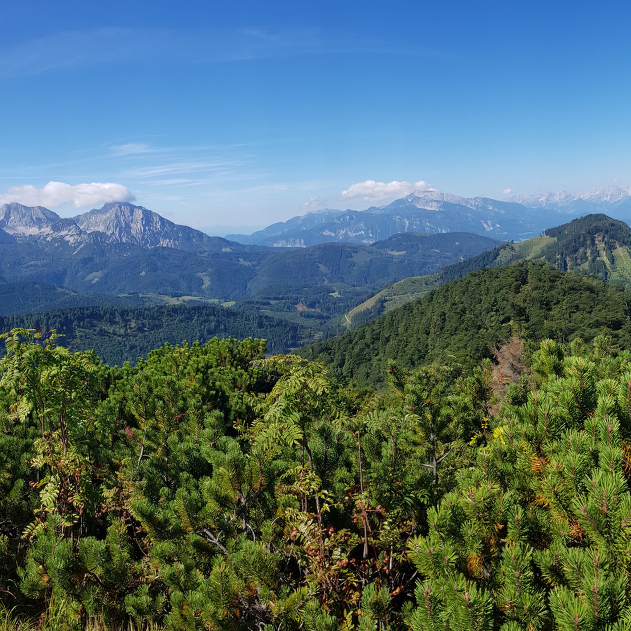
Hiking in Kalkalpen National Park
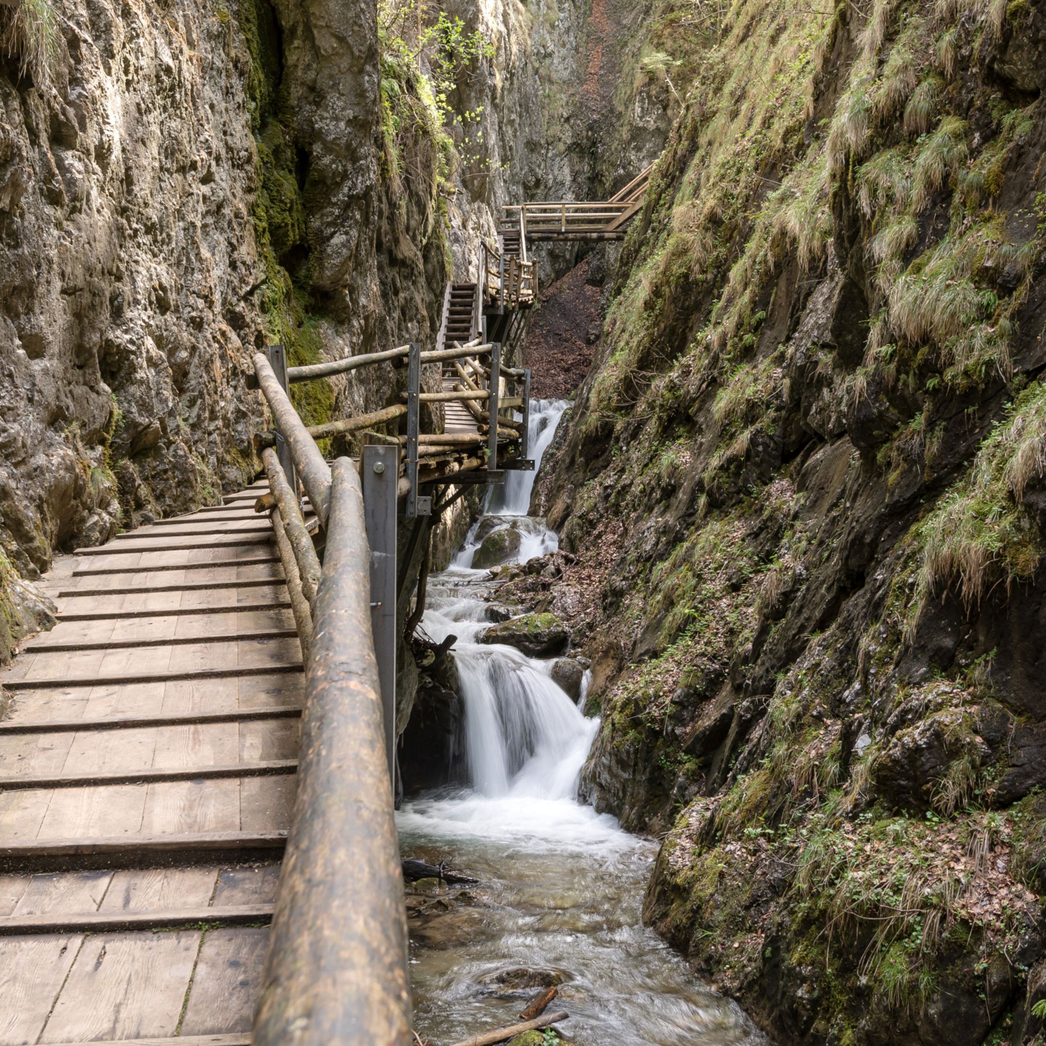
Hiking around Spital am Pyhrn
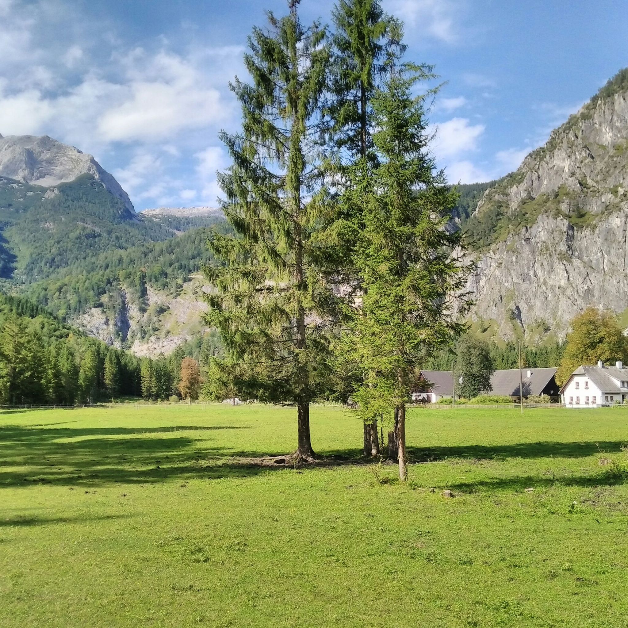
Hiking around Hinterstoder
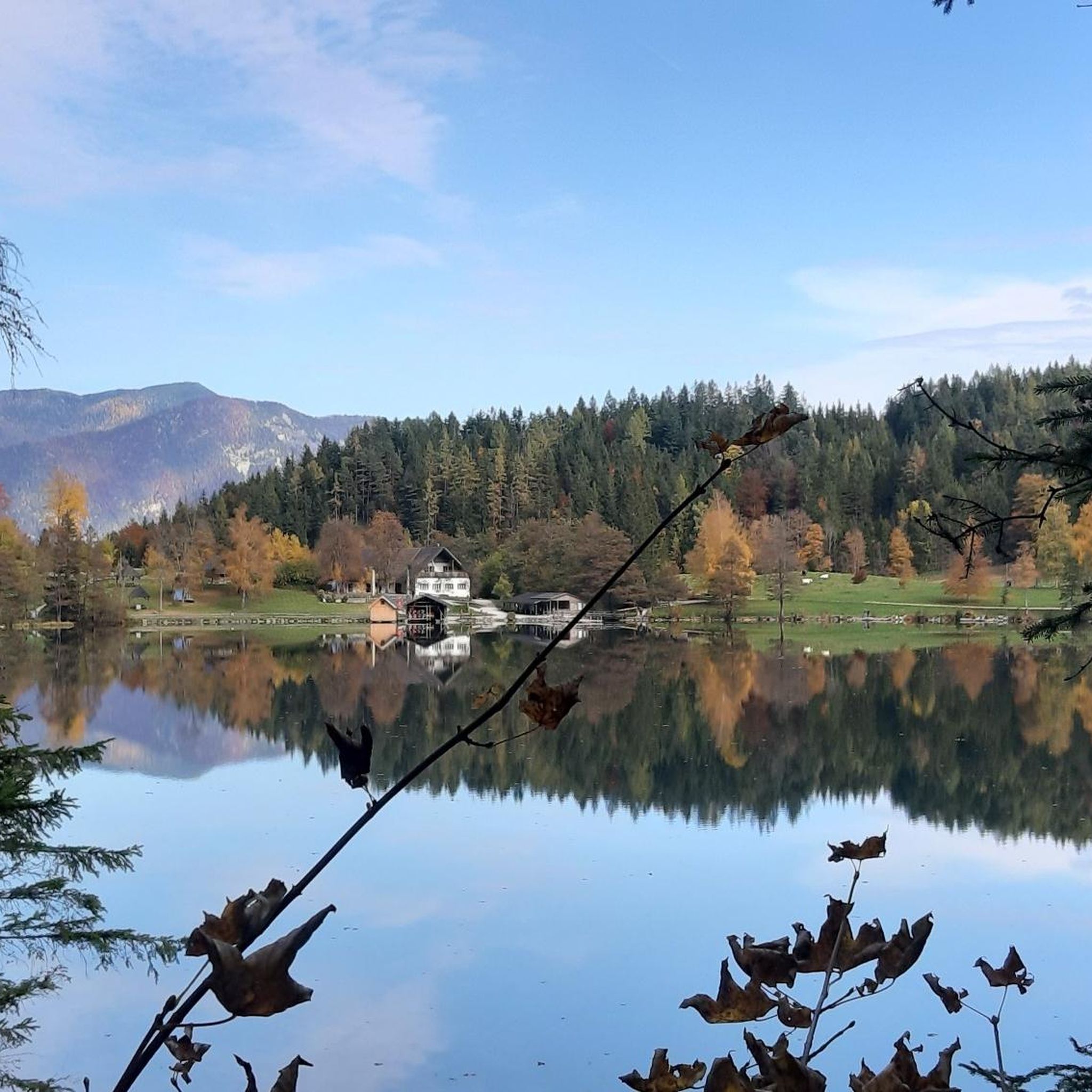
Hiking around Roßleithen
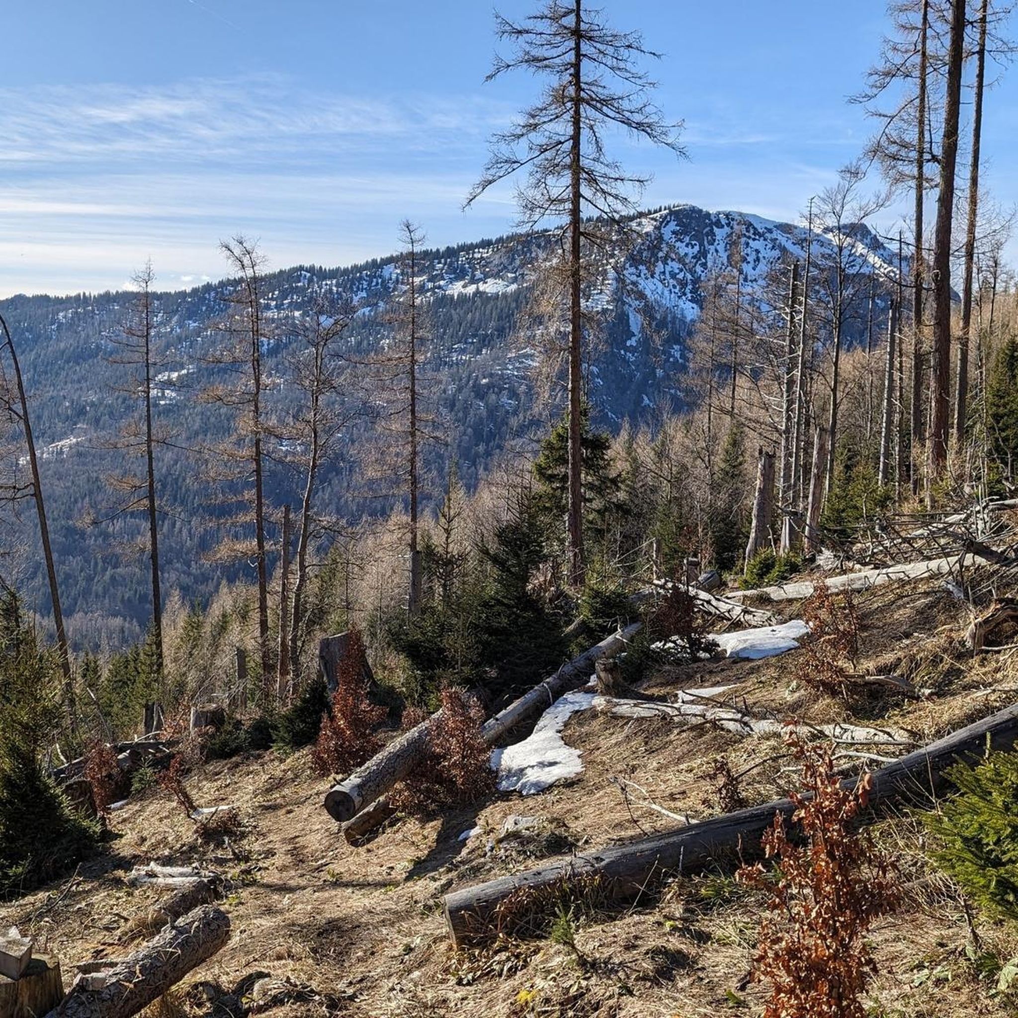
Hiking around Rosenau am Hengstpaß
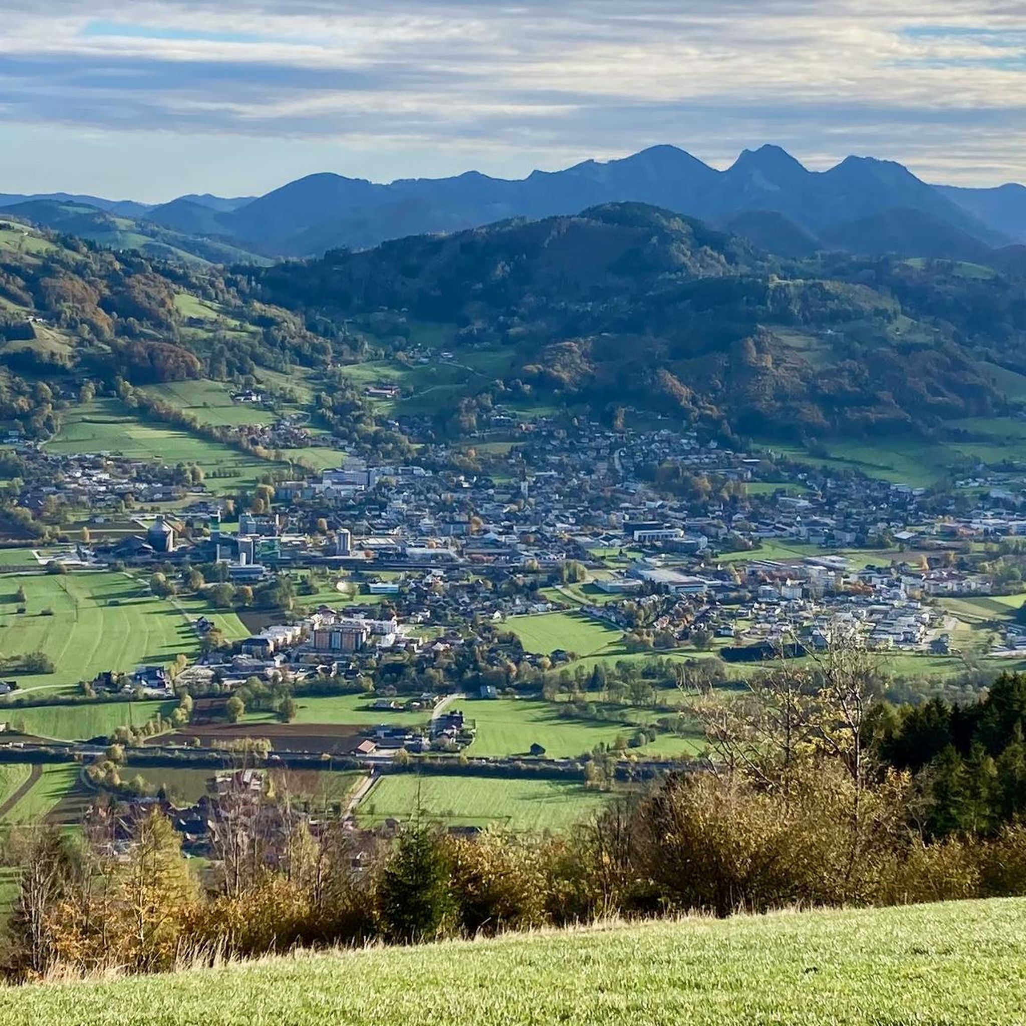
Hiking around Steinbach am Ziehberg
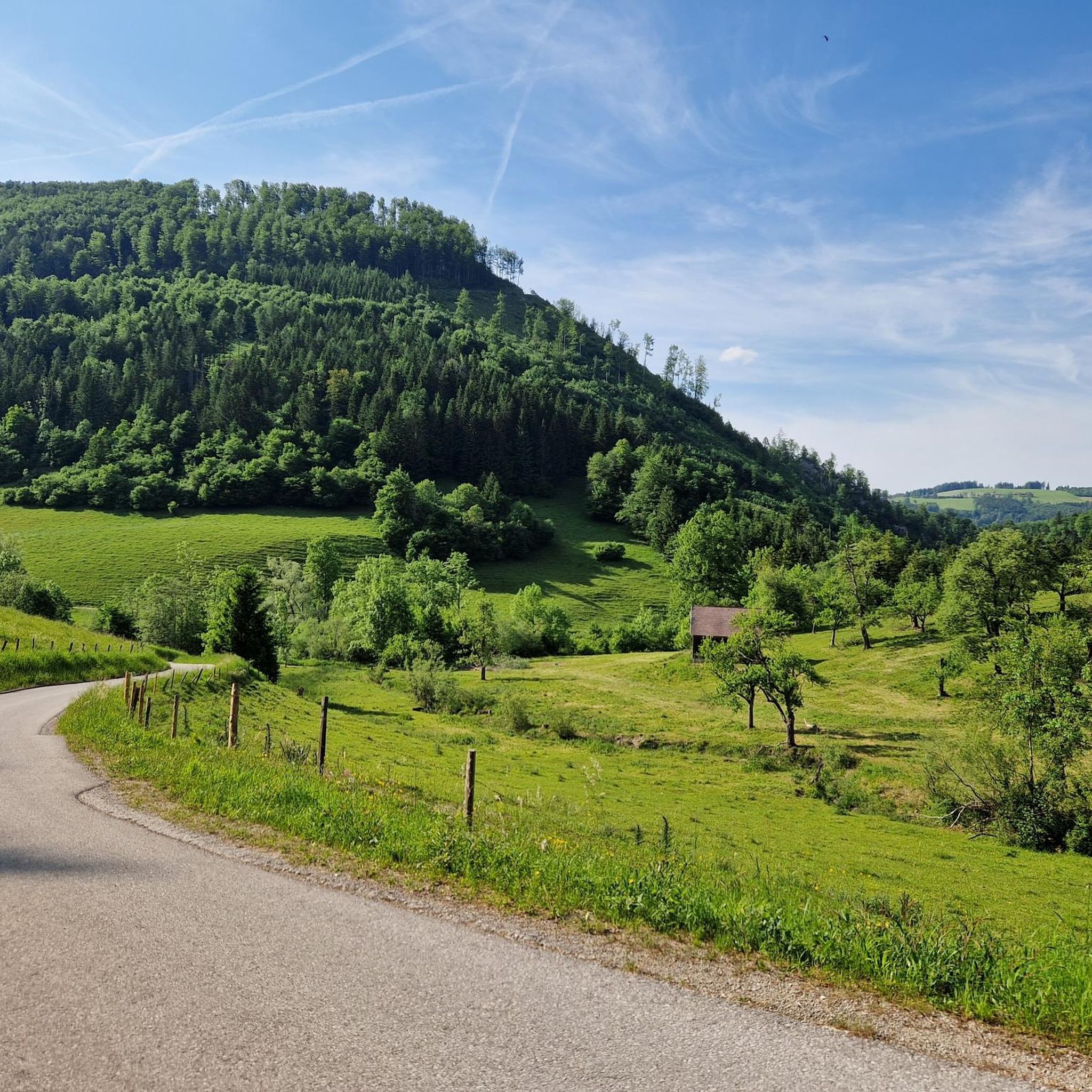
Hiking around Grünburg
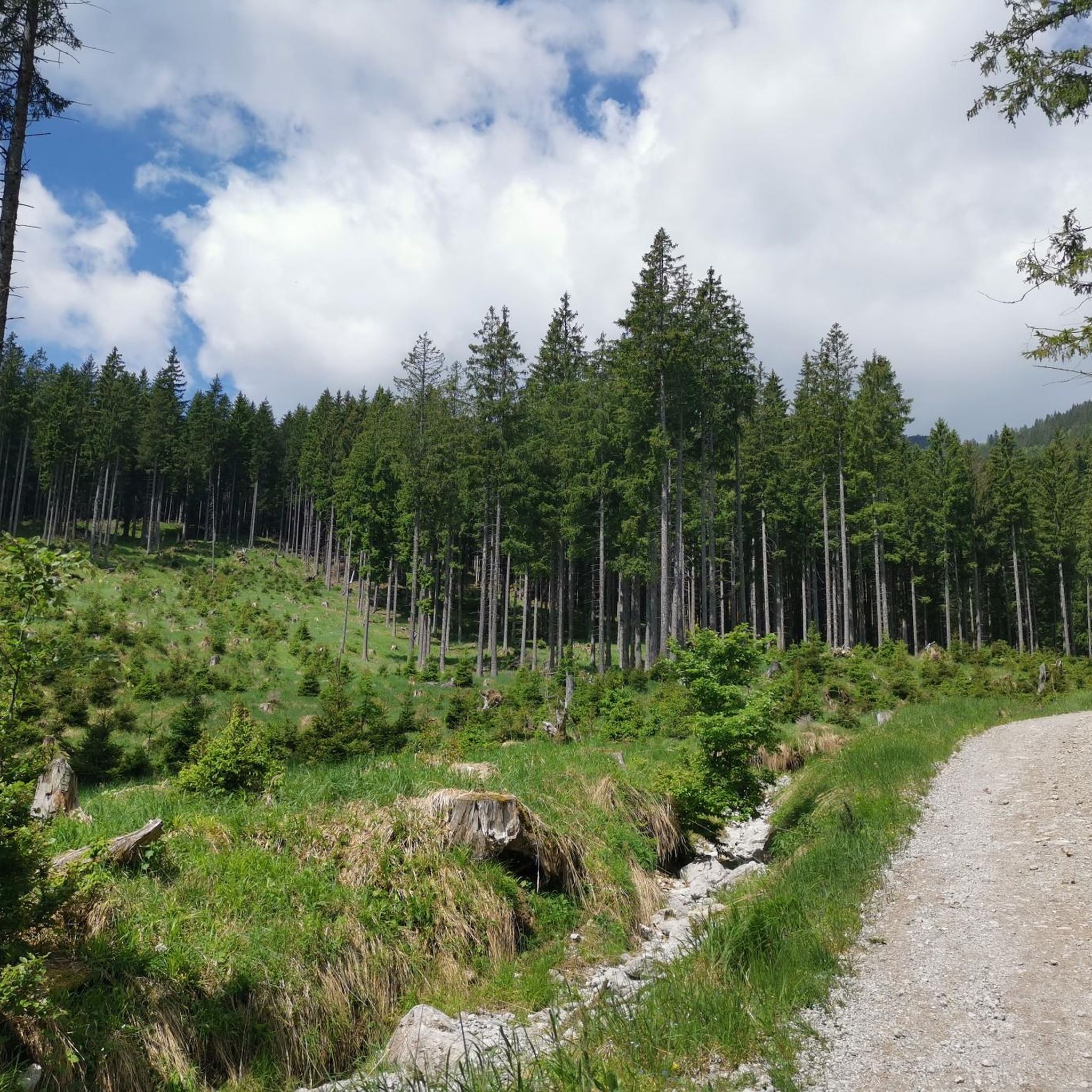
Hiking around Klaus an der Pyhrnbahn
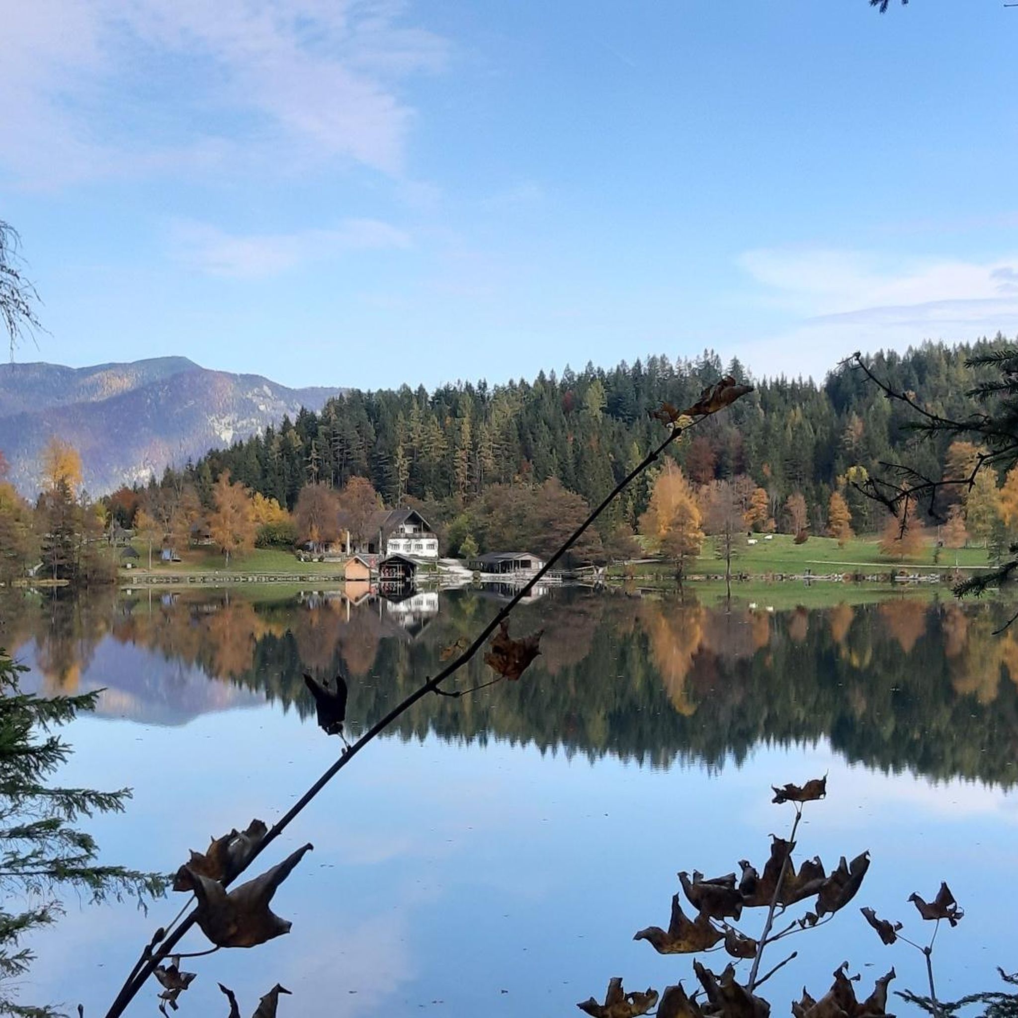
Hiking around Gleinkersee
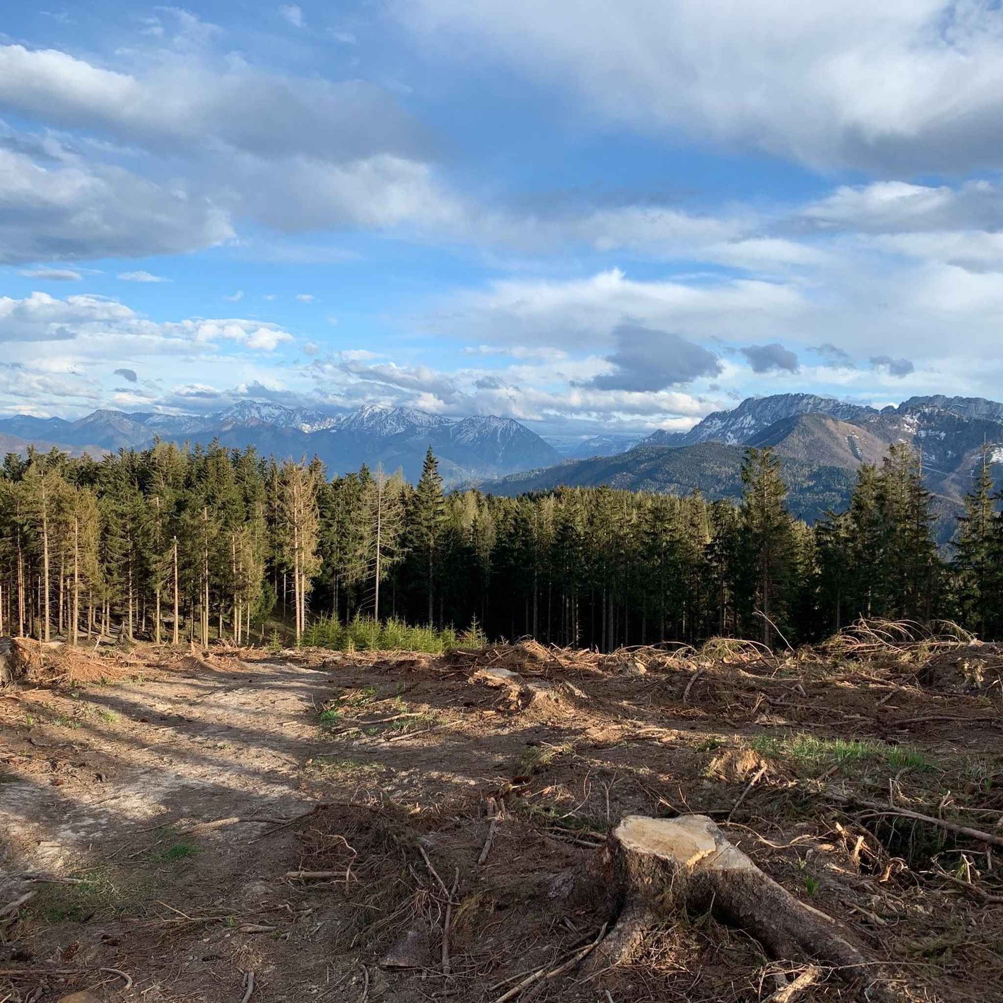
Hiking around Inzersdorf im Kremstal
Other adventures around Bezirk Kirchdorf


Tips from the Community

A quiet valley, ideal for switching off and enjoying nature.
2
0
Scenically attractive mountain trail in Sengsengebirge.
2
0

Impressive sunrise from Hohen Nock at 4:55 am on June 19, 2026
0
0
The Weingartalm lies lonely and idyllic at the foot of the Großer Größtenberg.
5
0
The view extends from the Haller Mauern to the Tote Gebirge.
5
0
The paths are often narrow, and in some areas a sense of direction is required
4
0

A beautiful viewpoint with a magnificent panoramic view of the Haller Mauern, Totes Gebirge, Reichraminger Hinterberge, and, in good weather, much further afield... The climb is also worthwhile. Even during the ascent, first across alpine meadows and then along a narrow path, there are always beautiful views.
0
0
Frequently Asked Questions
How many hiking trails are available in Bezirk Kirchdorf?
Bezirk Kirchdorf offers a wide variety of hiking experiences, with over 1300 routes available. These range from easy walks to challenging mountain ascents, catering to all fitness levels.
What kind of terrain can I expect on hikes in Bezirk Kirchdorf?
The terrain in Bezirk Kirchdorf is incredibly diverse, characterized by the rugged peaks of the Northern Limestone Alps, the rolling Alpine foothills, and the forested hills of the Flysch Zone. You can expect everything from gentle paths through picturesque valleys to demanding mountain tours with significant elevation changes.
Are there options for less experienced hikers or families?
Yes, Bezirk Kirchdorf is very family-friendly and offers numerous easy routes. For example, the Naturerlebnisweg „Von Alm zu Alm“ – wandern in Pyhrn-Priel is an easy 3.6-mile trail through scenic alpine pastures. Another great option is the Family hike Wurbauerkogl – Kalkalpen National Park, which is ideal for family outings and offers panoramic views.
What natural landmarks or features can I see while hiking in Bezirk Kirchdorf?
The region is rich in natural beauty. You can explore the adventurous Dr. Vogelgesang-Klamm gorge, or visit the idyllic Schiederweiher, known as the 'pearl of the Stodertal,' offering breathtaking views of the Spitzmauer and Großer Priel. Other notable features include the Großer Priel Summit, the highest peak entirely within Upper Austrian territory, and the Hoher Nock.
Are there any challenging mountain tours for experienced hikers?
Absolutely. For experienced hikers, Bezirk Kirchdorf offers demanding mountain tours, especially in the Northern Limestone Alps. Routes like the Stoderer Dolomiten Trail provide expansive views and significant elevation. Another challenging option is the route From Hinterstoder to the Prielschutzhaus, which leads to a mountain hut in a high alpine setting.
What do other hikers say about the trails in Bezirk Kirchdorf?
The hiking trails in Bezirk Kirchdorf are highly rated by the komoot community, with an average score of 4.6 stars from over 9000 reviews. More than 68,000 hikers have explored the region using komoot, often praising the diverse landscapes, from alpine peaks to national park forests, and the well-maintained paths.
Are there any circular hiking routes in the region?
Yes, Bezirk Kirchdorf features several circular routes. While specific named circular routes are numerous, you can find many loop hikes suitable for various durations and difficulties. For instance, the Großer Größtenberg Loop Trail offers a challenging circular experience.
Can I bring my dog on the hiking trails?
Many trails in Bezirk Kirchdorf are dog-friendly, allowing you to enjoy the natural beauty with your canine companion. However, it's always advisable to keep dogs on a leash, especially in nature protection areas like the Nationalpark Kalkalpen, and to check specific trail regulations beforehand.
Are there mountain huts or places to stop for refreshments along the trails?
Yes, Bezirk Kirchdorf is well-equipped with mountain huts that provide welcoming stops for hikers. Huts like the Dümlerhütte, Bosruckhütte, and Grünburger Hütte offer food and sometimes overnight stays. The Grünburger Hütte, for example, is noted for its wonderful views and excellent cuisine.
What is the best time of year to go hiking in Bezirk Kirchdorf?
The best time for hiking in Bezirk Kirchdorf generally spans from late spring to early autumn (May to October), when the weather is mild and trails are clear. Summer offers lush landscapes, while autumn brings vibrant colors. Winter hiking is also possible in certain areas, but requires appropriate gear and awareness of snow conditions.
How can I reach the trailheads using public transport?
Public transport options are available to reach various trailheads within Bezirk Kirchdorf, particularly in the Pyhrn-Priel region. While specific routes vary, regional buses often connect towns and villages to popular starting points. It's recommended to check local bus schedules for the specific trailhead you plan to visit.
Is parking available at the trailheads?
Yes, most popular trailheads in Bezirk Kirchdorf offer designated parking areas. These can range from small roadside pull-offs to larger paid parking lots, especially near major attractions or national park entrances. Always check for signage regarding parking fees or restrictions.
Most popular routes around Bezirk Kirchdorf
Most popular attractions around Bezirk Kirchdorf

Get inspired with the komoot mobile app


Didn’t find what you were looking for?
Check out more Hikes throughout Bezirk Kirchdorf below and find the perfect route in your destination.
Explore more
Browse the best Hikes in other regions.
