The best running trails around Hazlebadge
4.6
(293)
14,869
runners
389
runs
Jogging around Hazlebadge offers access to routes within the Peak District National Park, characterized by a mix of valleys, hills, and agricultural land. The immediate area features a rural setting with pasture land and limestone geology. While Hazlebadge itself has limited dedicated footpaths, its location provides a gateway to the wider Peak District's diverse landscapes, including gritstone edges, moorlands, and limestone valleys.
Best jogging routes around Hazlebadge
- The most popular jogging route is Shatton Edge Descent – Shatton Transmitter Climb…
Last updated: August 8, 2026
34
runners
Moderate run. Good fitness required. Mostly paved surfaces. Suitable for all skill levels.
13
runners
5.32km
00:35
90m
90m
Moderate run. Good fitness required. Mostly paved surfaces. Suitable for all skill levels.

Sign up for free
5.0
(1)
17
runners
7.16km
00:54
220m
220m
Moderate run. Good fitness required. Mostly paved surfaces. Suitable for all skill levels.
19
runners
5.75km
00:37
100m
100m
Moderate run. Good fitness required. Mostly paved surfaces. Suitable for all skill levels.
16
runners
Moderate run. Good fitness required. Mostly paved surfaces. Suitable for all skill levels.
Get access to more routes and recommendations from other explorers.
Sign up for free
Already have an account?
Our route recommendations are based on thousands of hikes, rides, and runs completed by other people on komoot.
Start today with a free account
Your next adventure awaits.
Login or Signup

Tips from the Community

Nice little spot to stop. Stone circle was actually covered in sheep wool when I visited which lets the mind run wild given the name
0
0

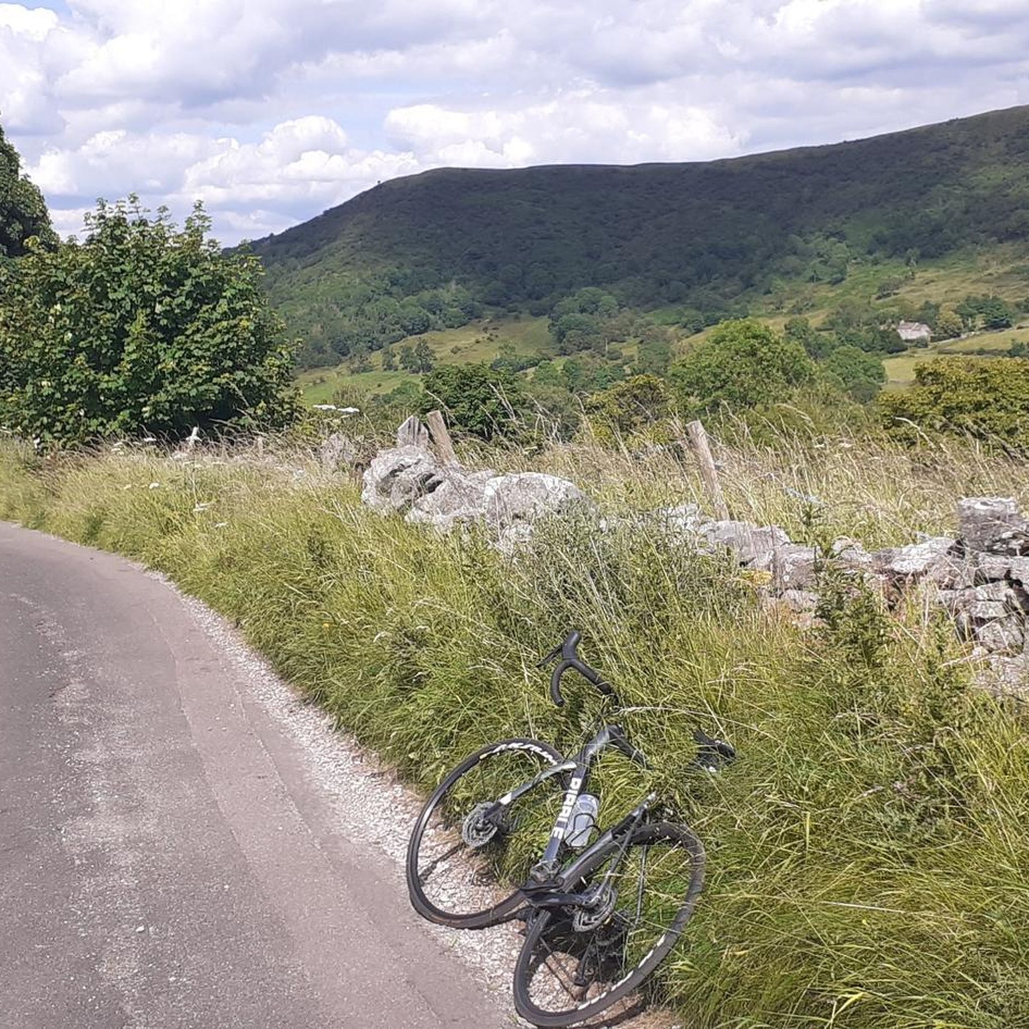
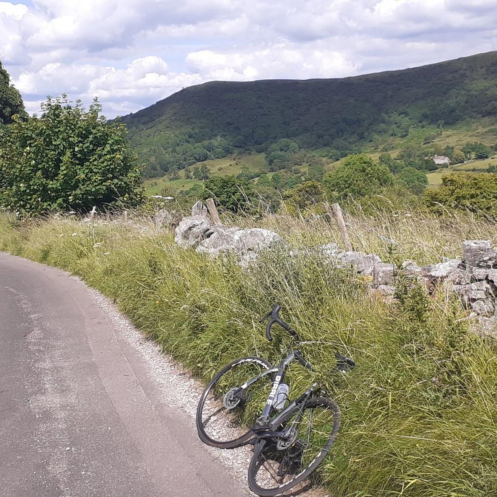
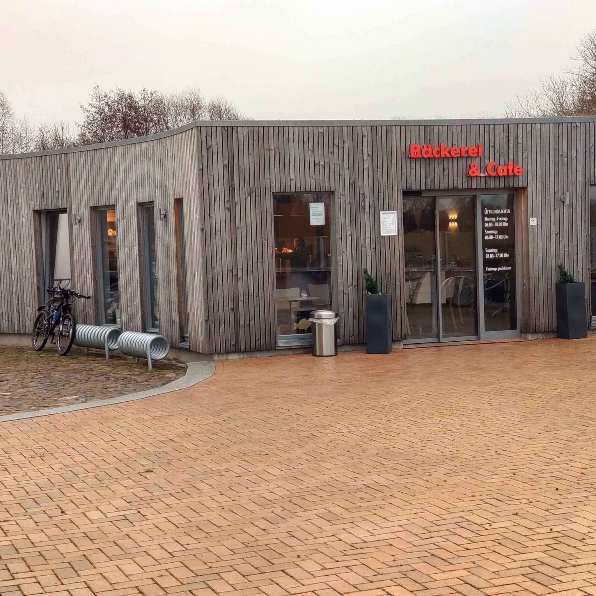
Great tea & coffee, lovely cakes. Very welcoming for runners, hikers and cyclists.
0
0

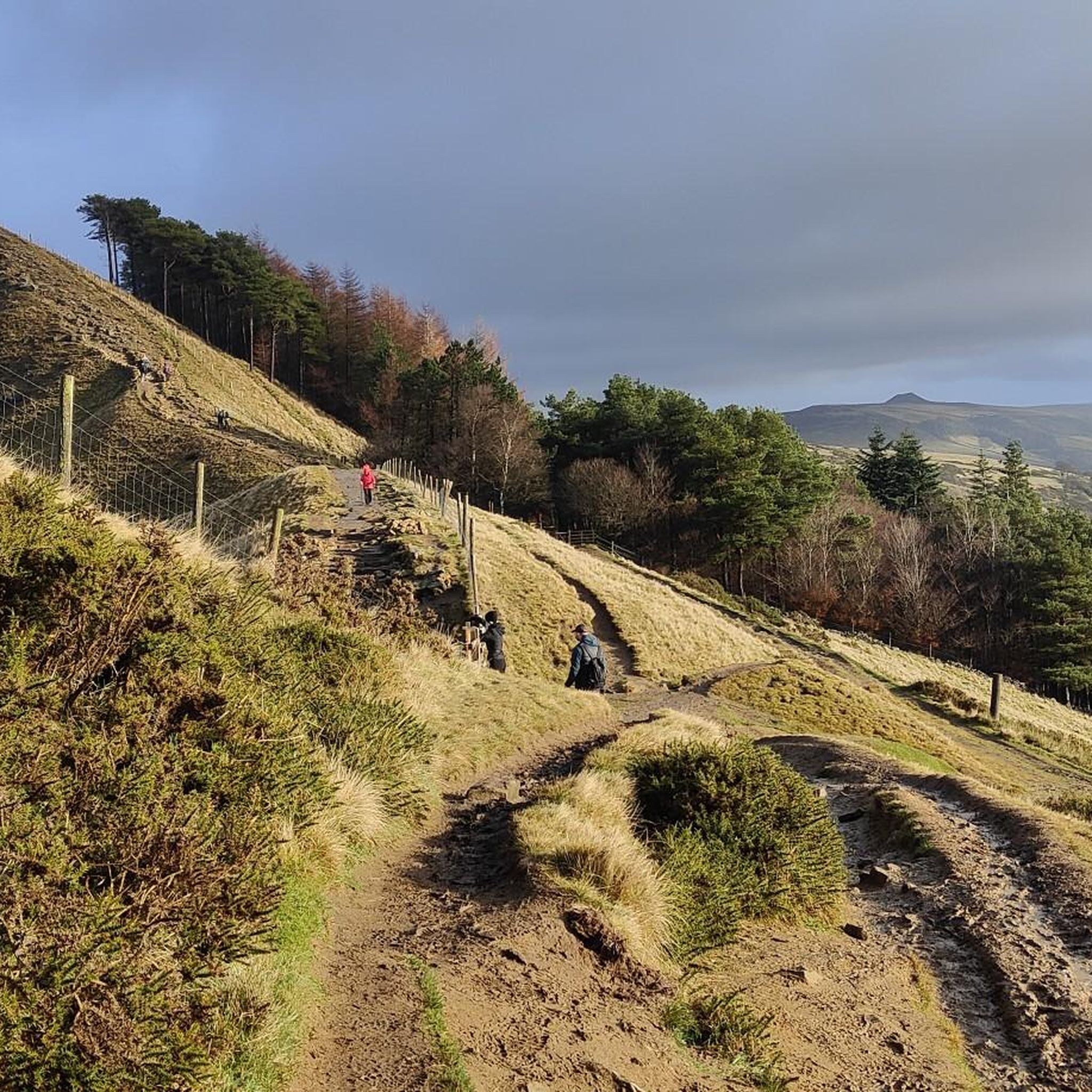
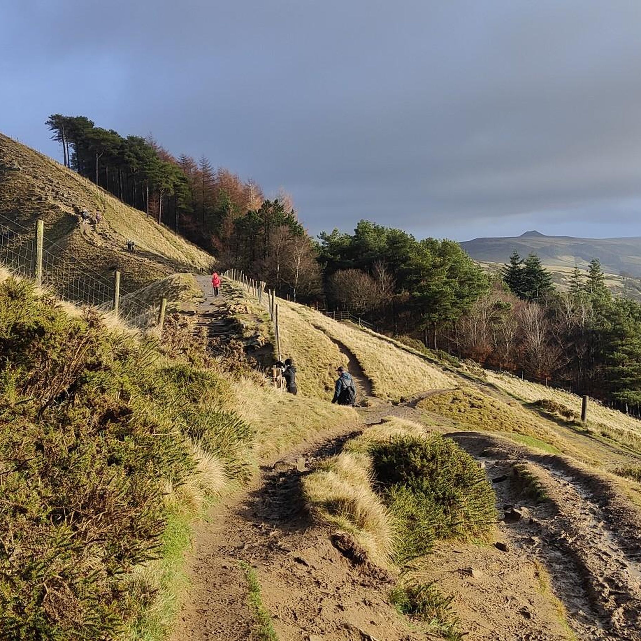
Beautiful views across towards Mam tor and the great ridge in the distance
0
0

Arrive mid-morning on a crisp autumn day to wander the quaint village green with its medieval cross, duck pond, and bull-ring—perfect for photos of the limestone cottages without crowds. Grab a hearty pub lunch at The Bull’s Head, savoring local ales and farm-fresh dishes, then embark on the easy 2.4-mile walk to nearby Eyam (the “Plague Village”) for a dose of history amid rolling dales. Park at the edge of the village (limited spots), wear comfy shoes for the quiet lanes, and time your visit for late August if you can catch the colorful well dressings festival
0
0


The Domesday Book records that Hope had a church although the present parish church, the Church of St Peter, dates from the 14th and 15th centuries with modifications to the chancel dating from 1882. The church has two ancient crosses in its grounds. The shaft of a sandstone cross dating from the Anglo-Saxon period stands seven feet high and is carved on all faces. The cross may well have originated in the church grounds and a possible base now supports a sundial, but from the English Civil War until 1858 it was hidden in the village school. The stump of the Eccles Cross, originally near Eccles House, south of Hope, is also in the graveyard.
0
0

Quieter than neighbouring Castleton, Hope is nonetheless a great base for runs in the Peak District. Nestled in the Hope Valley, the village provides easy access to The Great Ridge and longer runs to Kinder Scout, Win Hill and the famous gritstone edges. There are several cafes and pubs for the post-run refuel.
0
0
Frequently Asked Questions
How many running routes are available around Hazlebadge?
There are over 400 running routes available around Hazlebadge, offering a wide variety of options for different skill levels and preferences within the Peak District National Park.
What kind of terrain can I expect on the jogging routes near Hazlebadge?
The terrain around Hazlebadge is diverse, ranging from rolling hills and open pasture land to limestone valleys and gritstone edges. You'll encounter a mix of bridleways, rural lanes, and paths through varied landscapes characteristic of the Peak District.
Are there easy running routes suitable for beginners?
Yes, there are 27 easy running routes around Hazlebadge. For example, the Foolool Village – St Hugh's Church, Foolow loop from Great Hucklow CP is a moderate 5.7 km (3.5 miles) path that offers a relatively gentle experience, suitable for those new to trail running.
What do other runners enjoy most about the trails near Hazlebadge?
The running routes in Hazlebadge are highly rated by the komoot community, with an average score of 4.7 stars from over 250 reviews. Runners often praise the varied terrain, scenic views of the Peak District, and the accessibility to different landscapes like valleys and hills.
Are there circular running routes available?
Yes, many of the running routes around Hazlebadge are circular. For instance, the Cement Works Bridleway loop from Peak District National Park is a moderate 5.3 km (3.3 miles) circular path, perfect for a quicker run through open landscapes.
What are some challenging running trails for experienced runners?
For more experienced runners, there are 152 difficult routes in the area. While Hazlebadge itself is rural, its location within the Peak District means you can access more challenging runs like those found on Rushup Edge and Mam Tor, offering high-altitude running with expansive views.
What can I see along the running routes near Hazlebadge?
While jogging, you can explore various points of interest. Nearby attractions include natural formations like Robin Hood's Cave and the Cucklet Delf Natural Arch. You might also encounter historical sites such as the ancient Hazlebadge Hall or prehistoric and Roman sites like the Cop Low oval barrow.
Are there any notable viewpoints on the running trails?
Yes, the wider Peak District offers numerous viewpoints. While specific viewpoints on every Hazlebadge route aren't detailed, the area's rolling hills and access to locations like Mam Tor summit and Lose Hill Summit provide stunning panoramic vistas of the Hope Valley and surrounding landscapes.
Can I find routes that are suitable for families with children?
While Hazlebadge itself has limited dedicated footpaths, the broader Peak District offers many family-friendly options. Look for easier, shorter routes or those on well-maintained bridleways. The 27 easy routes available around Hazlebadge could be a good starting point for families.
Are the running routes around Hazlebadge dog-friendly?
Many trails in the Peak District National Park are dog-friendly, but it's always best to keep dogs on a lead, especially near livestock or in sensitive wildlife areas. The rural lanes and bridleways around Hazlebadge are generally suitable for running with dogs, provided they are well-behaved and under control.
What is the best time of year for running in Hazlebadge?
The Peak District, including the area around Hazlebadge, is beautiful year-round. Spring and autumn offer pleasant temperatures and vibrant scenery. Summer provides longer daylight hours, while winter can be challenging with colder weather and potentially icy or muddy trails, though it offers a unique, stark beauty.
Are there any cafes or amenities near the jogging routes?
Hazlebadge is a small hamlet, so amenities within the immediate village are limited. However, being situated within the Peak District National Park, you'll find cafes and pubs in nearby villages and towns that are accessible from various running routes.
Most popular attractions around Hazlebadge

Get inspired with the komoot mobile app


Explore more
Browse the best Running Trails & Routes in other regions.
