The best road cycling routes around Hazlebadge
4.8
(118)
5,644
riders
139
rides
Road cycling routes around Hazlebadge are characterized by a hilly and undulating landscape within the Peak District National Park. The terrain features significant climbs and descents, with elevations ranging from approximately 193 meters (633 ft) to 416 meters (1,365 ft) at Durham Edge. This varied topography includes limestone valleys and gritstone escarpments, providing challenging routes for road cyclists.
Best road cycling routes around Hazlebadge
- The most popular road cycling route is The Strines, Langsett Reservoir & Mam Tor Nick loop…
Last updated: May 19, 2026
4.0
(2)
183
riders
Hard road ride. Very good fitness required. Mostly well-paved surfaces and easy to ride.
4.8
(6)
80
riders
31.6km
01:52
660m
660m
Moderate road ride. Good fitness required. Mostly well-paved surfaces and easy to ride.

Sign up for free
5.0
(5)
39
riders
30.7km
01:50
550m
550m
Moderate road ride. Good fitness required. Mostly well-paved surfaces and easy to ride.
5.0
(2)
27
riders
57.0km
03:19
1,060m
1,060m
Hard road ride. Very good fitness required. Mostly well-paved surfaces and easy to ride.
4.8
(4)
181
riders
18.1km
01:04
330m
330m
Moderate road ride. Good fitness required. Mostly well-paved surfaces and easy to ride.
Get access to more routes and recommendations from other explorers.
Sign up for free
Already have an account?
Our route recommendations are based on thousands of hikes, rides, and runs completed by other people on komoot.
Start today with a free account
Your next adventure awaits.
Login or Signup
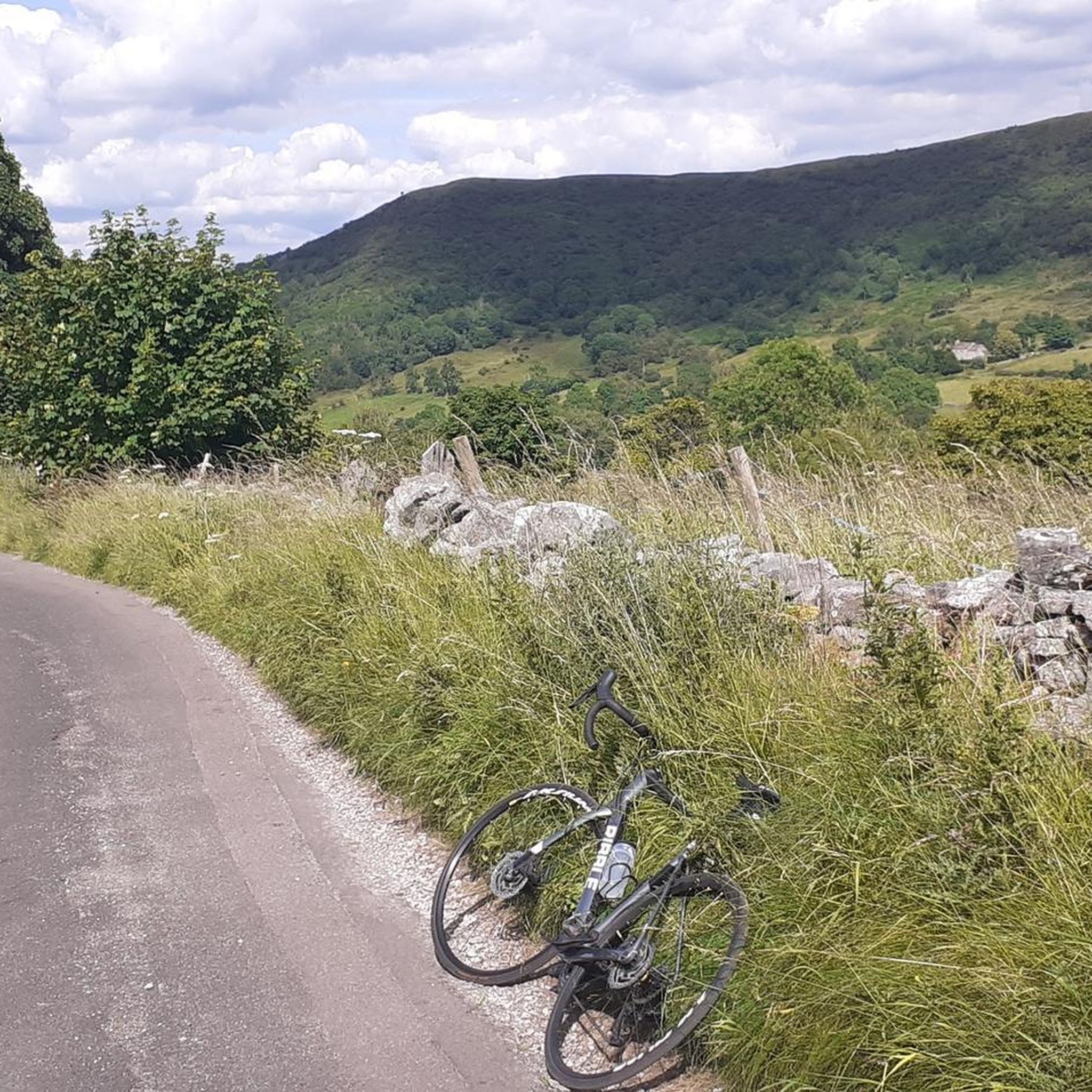
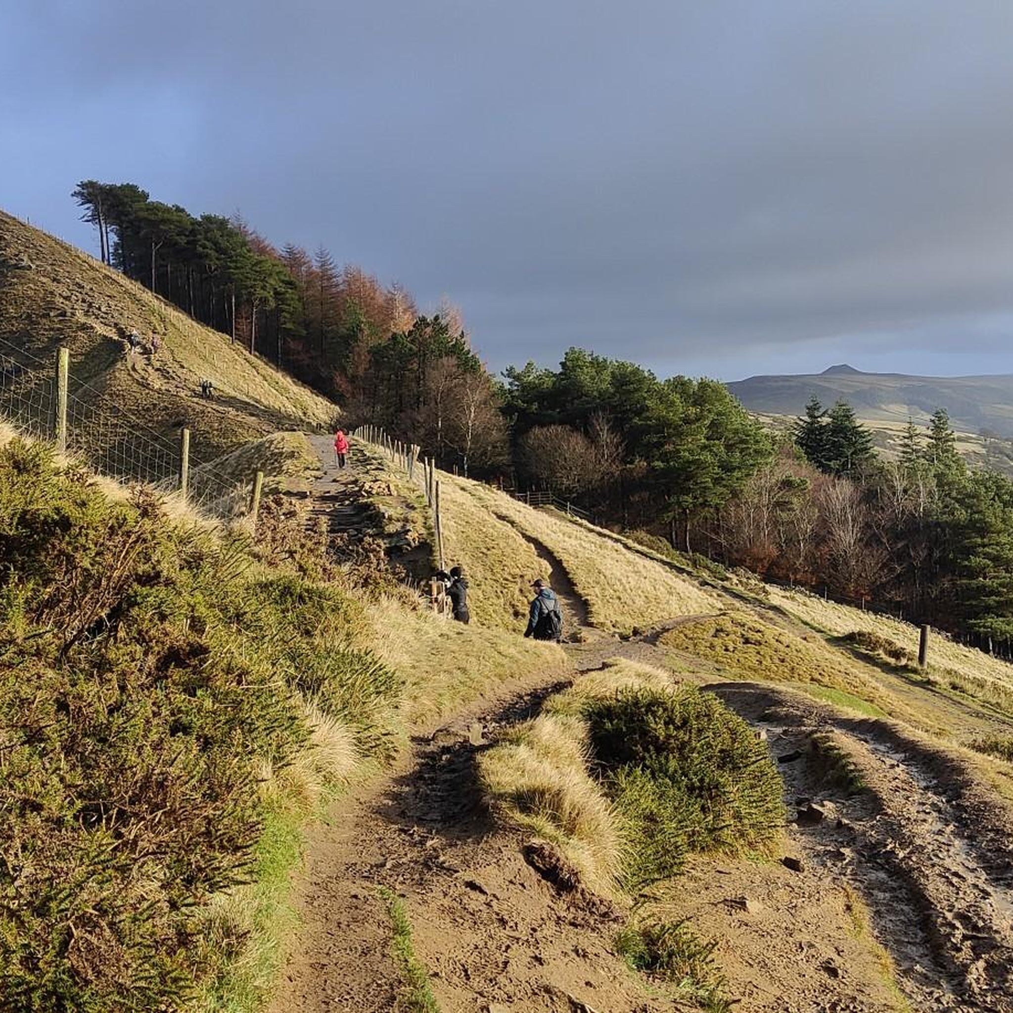
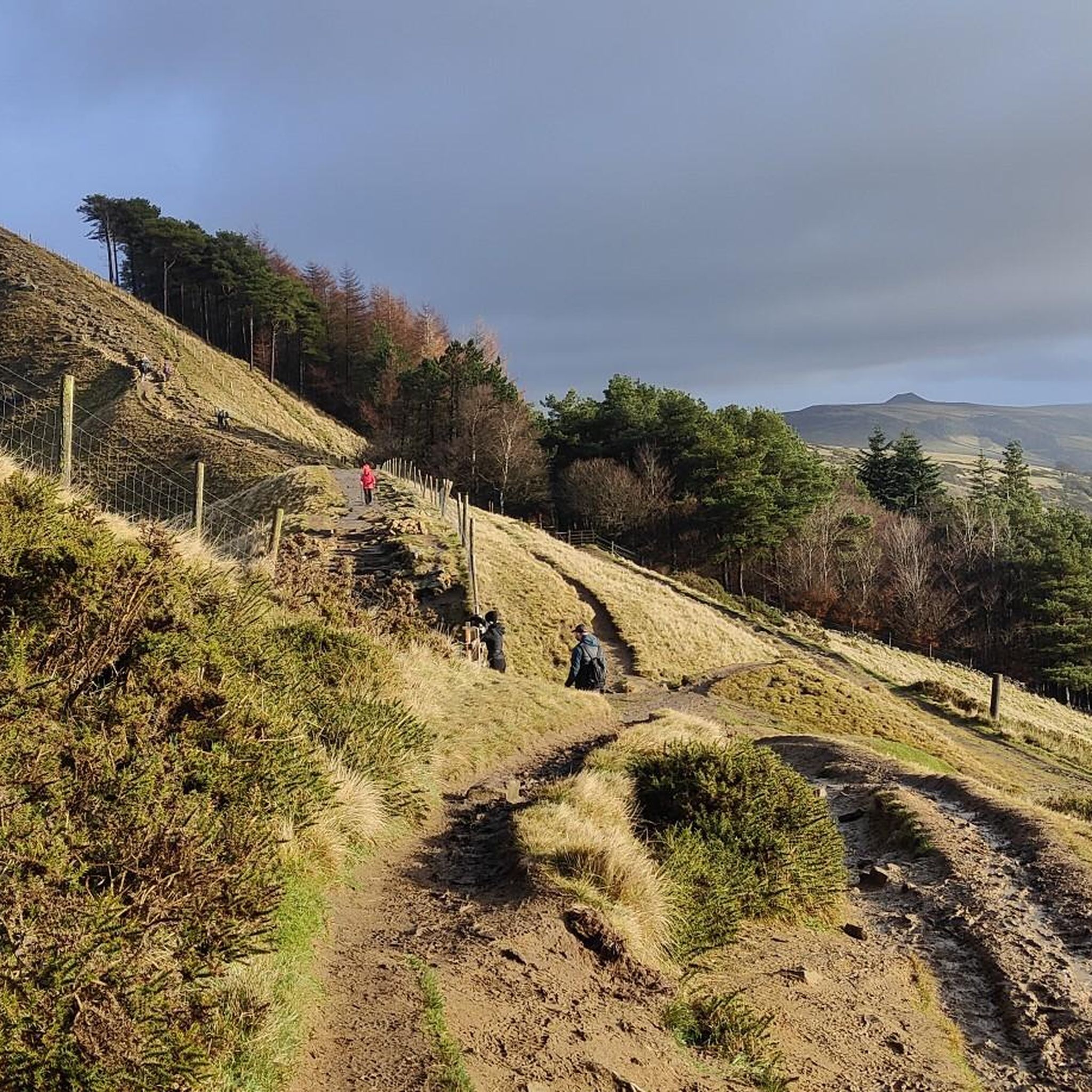
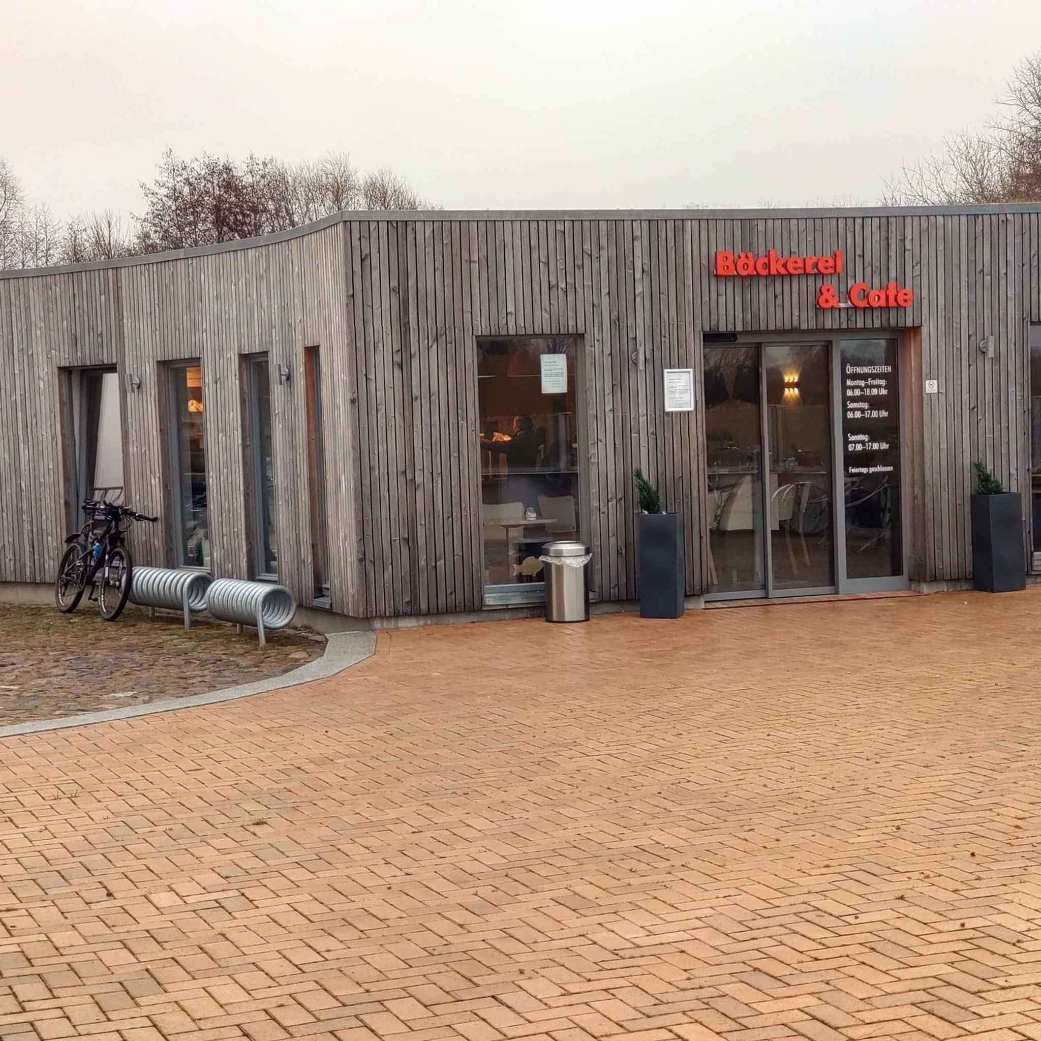

Tips from the Community

Steep, busy with cars and tourists, but beautiful scenery. Worth the pain.
0
0

Awesome massive descent if you come from the right side Big pillars either side of the pass make it feel like a canyon
1
0

Good spot. Only flatish bit of rode for a long time
0
0


Without doubt one of the best views around for miles. If you have arrived there from climbing up Mam Nick it makes it all the more rewarding.
1
0

An absolutely stunning, and also absolutely brutal, climb!
0
0
Great climb, you soon see where your fitness is at on this! Great views from the top and some much needed downhill.
0
0
Frequently Asked Questions
How many road cycling routes are available around Hazlebadge?
There are over 140 road cycling routes available around Hazlebadge, offering a wide range of options for different skill levels. You'll find everything from moderate paths to challenging climbs within the Peak District National Park.
What is the typical difficulty level for road cycling routes in Hazlebadge?
Road cycling routes around Hazlebadge are characterized by a hilly and undulating landscape, featuring significant climbs and descents. While there are 80 moderate routes, 41 are classified as difficult, making it a rewarding area for cyclists seeking a challenge. Elevations can range from 193 meters (633 ft) to 416 meters (1,365 ft) at Durham Edge.
Are there any easy or beginner-friendly road cycling routes near Hazlebadge?
Yes, while the region is known for its challenging terrain, there are 21 routes classified as easy. These routes often navigate less steep sections or utilize quieter lanes, providing a gentler introduction to road cycling in the Peak District. For example, some sections of repurposed railway lines in the wider Peak District, like the Monsal Trail, offer accessible riding, though they are often gravel and may require suitable tires or a hybrid bike.
What kind of landscapes and viewpoints can I expect on a road cycling tour around Hazlebadge?
Road cycling around Hazlebadge offers diverse and picturesque scenery, including steep-sided limestone valleys, gritstone escarpments, and small forestry plots. You can expect rewarding views from various points, such as the climb up Froggatt Edge. The area's geology, featuring clay, limestone, and gritstone, contributes to its varied natural beauty.
Are there specific attractions or landmarks to look out for while cycling?
Yes, the Hazlebadge area, being part of the Peak District, offers several points of interest. You might encounter historic features like ancient burial mounds or the ancient dwelling of Hazlebadge Hall. For scenic views and natural landmarks, consider routes that pass by the Ladybower Reservoir Overflow, Derwent Dam, or offer a View of Ladybower Reservoir from Bamford Edge.
Can I find circular road cycling routes in the Hazlebadge area?
Yes, many of the road cycling routes around Hazlebadge are designed as loops, allowing you to start and finish at the same point. Examples include the popular The Strines, Langsett Reservoir & Mam Tor Nick loop from Hope, or the Edale, Mam Tor Nick & Winnats Pass loop from Castleton, which features iconic Peak District climbs.
Is Hazlebadge well-connected by public transport for cyclists?
Hazlebadge itself is a small, rural hamlet. While specific public transport links directly to Hazlebadge for cyclists might be limited, the wider Peak District is accessible by train and bus services to larger towns like Hope or Castleton, from which many cycling routes begin. It's advisable to check local bus and train schedules for bike carriage policies.
Where can I park my car if I'm cycling around Hazlebadge?
As Hazlebadge is a small hamlet, dedicated cyclist parking facilities might be limited directly within the village. However, parking is generally available in nearby larger villages and towns within the Peak District, such as Hope or Castleton, which serve as common starting points for many routes. Always check local signage for parking regulations and fees.
What is the best time of year for road cycling in Hazlebadge?
The best time for road cycling in Hazlebadge, like much of the Peak District, is typically from spring through autumn (April to October). During these months, the weather is generally milder and more predictable, with longer daylight hours. Winter cycling can be challenging due to colder temperatures, potential ice, and shorter days, especially on higher elevations.
Are there any cafes or pubs along the road cycling routes for a break?
While Hazlebadge itself has few public amenities, the wider Peak District is well-equipped with charming villages that offer cafes, pubs, and accommodation. Many popular cycling routes pass through or near these villages, providing ample opportunities for refreshment stops. For example, the Winnats Pass, Millers Dale & Tideswell loop leads through historic villages where you can find places to stop.
Are road cycling routes around Hazlebadge suitable for families with children?
The hilly and undulating nature of Hazlebadge's terrain means many road cycling routes can be challenging. However, some of the 21 easy routes might be suitable for families with older, experienced children. For younger children or those new to cycling, repurposed railway lines in the broader Peak District, such as the Monsal Trail, offer flatter, traffic-free options, though these are often gravel and may not be ideal for road bikes.
Can I bring my dog on road cycling routes in Hazlebadge?
While road cycling itself is generally not suitable for dogs, the Peak District National Park is very dog-friendly for other activities like walking. If you plan to combine cycling with walks, ensure your dog is well-behaved and kept on a lead, especially near livestock. Always check specific route guidelines or local regulations regarding dogs.
Do I need any special permits for road cycling in the Hazlebadge area?
Generally, no special permits are required for road cycling on public roads and designated cycle paths in the Hazlebadge area or the wider Peak District National Park. However, always respect private land and adhere to the Countryside Code. For specific events or organized rides, permits or registration might be necessary.
What do other cyclists say about road cycling in Hazlebadge?
The road cycling experience around Hazlebadge is highly rated by the komoot community, with an average score of 4.7 stars from over 100 reviews. Cyclists often praise the varied terrain, challenging climbs, and breathtaking scenery of the Peak District National Park, making it a rewarding destination for those seeking an active outdoor adventure.
Most popular attractions around Hazlebadge

Get inspired with the komoot mobile app


Explore more
Browse the best Road cycling routes in other regions.
