The best cycling routes around Hazlebadge
4.6
(601)
12,636
riders
272
rides
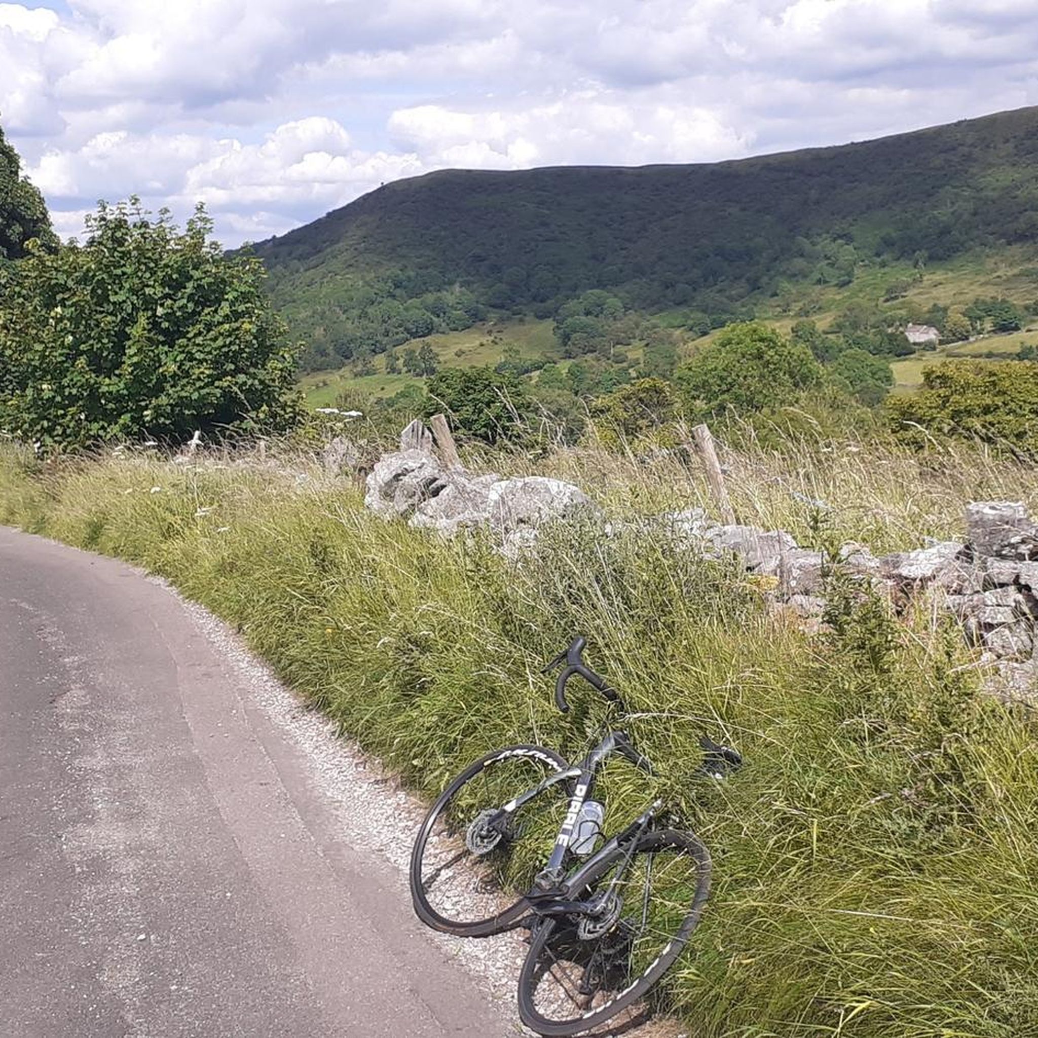
Touring cycling around Hazlebadge is characterized by its location within the Peak District National Park, offering a landscape of hilly and undulating terrain. The area features a central valley with rising land towards its western and eastern edges, predominantly agricultural with scattered farms and small forestry plots. The geology includes limestone and gritstone, contributing to varied cycling conditions. Elevations range from approximately 633 feet (193 meters) to a peak of 1,365 feet (416 meters) along Durham Edge.
Best touring cycling…
Last updated: September 29, 2026
4.9
(14)
181
riders
31.5km
02:38
500m
500m
Hard bike ride. Very good fitness required. Mostly paved surfaces. Suitable for all skill levels.
4.9
(15)
180
riders
24.6km
01:39
350m
350m
Moderate bike ride. Good fitness required. Mostly paved surfaces. Suitable for all skill levels.

4.3
(3)
130
riders
18.4km
01:48
390m
390m
Hard bike ride. Good fitness required. You may need to push your bike for some segments of this route.
5.0
(2)
112
riders
37.0km
03:23
830m
830m
Hard bike ride. Very good fitness required. You may need to push your bike for some segments of this route.
86
riders
46.2km
04:02
1,030m
1,030m
Hard bike ride. Very good fitness required. You may need to push your bike for some segments of this route.
Get access to more routes and recommendations from other explorers.
Already have an account?
Our route recommendations are based on thousands of hikes, rides, and runs completed by other people on komoot.
Start today with a free account
Your next adventure awaits.

Tips from the Community

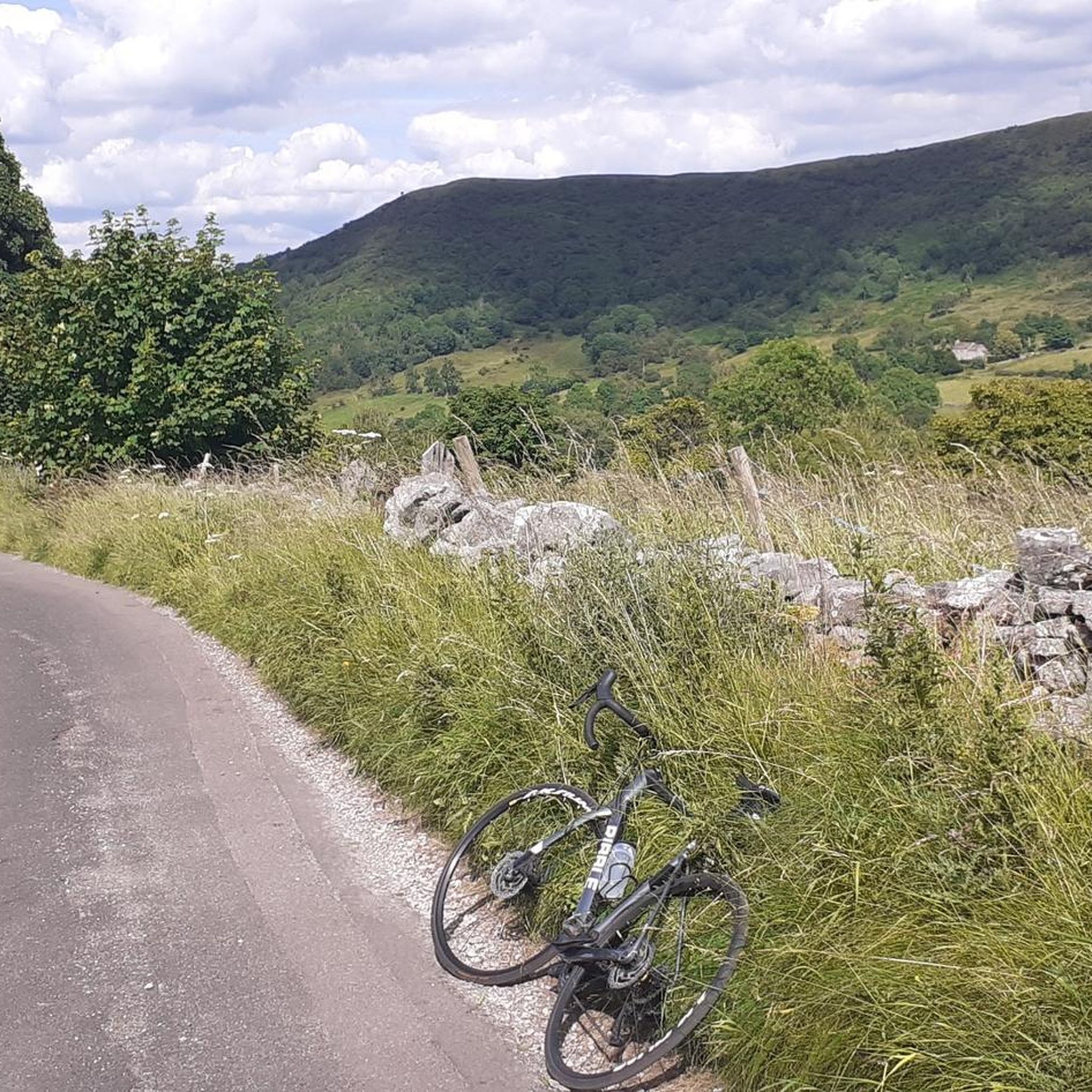
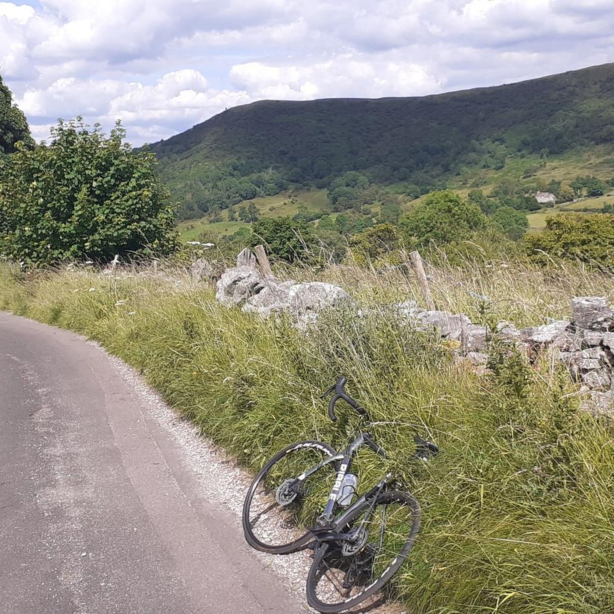
An amazing climb or descent over a long abandoned road. Shows how much movement there has been over the years.
1
0

Easy hike around Ladybower Reservoir
0
0


When the Derwent reservoir is full, the water flows out through the 'plugholes' at the southern end. A mesmerising spectacle when there's a lot of water flowing and can be enhanced by a great sunrise.
1
0

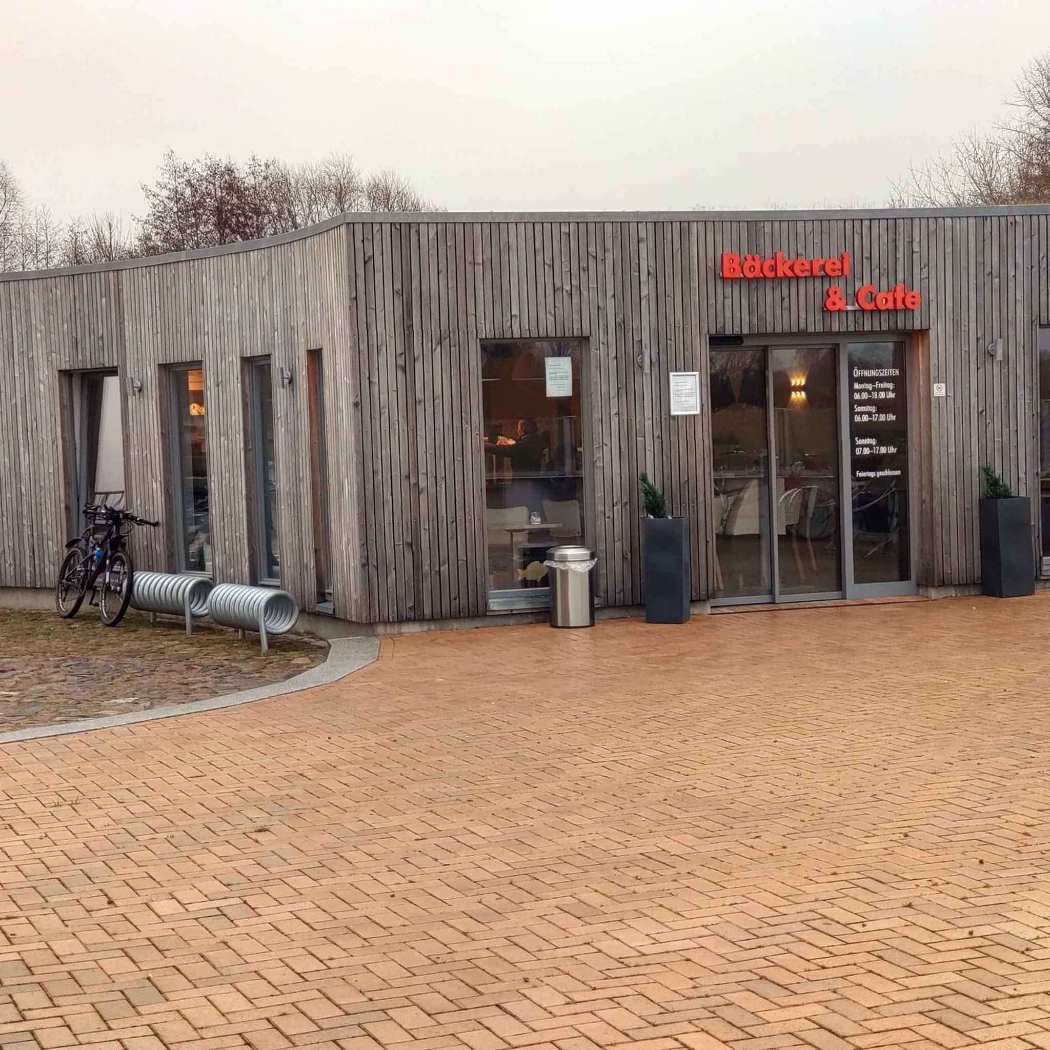
Fantastic cafe, most reasonably priced in the village. Cakes, warm food, and staff are all top notch 🤓👌
1
0


A delightful cycle ride around Howden dam. I can’t highlight one particular spot as everywhere is beautiful. If you do this ride or walk at the weekend ,get there early because by 11am the car park starts to fill up
1
0

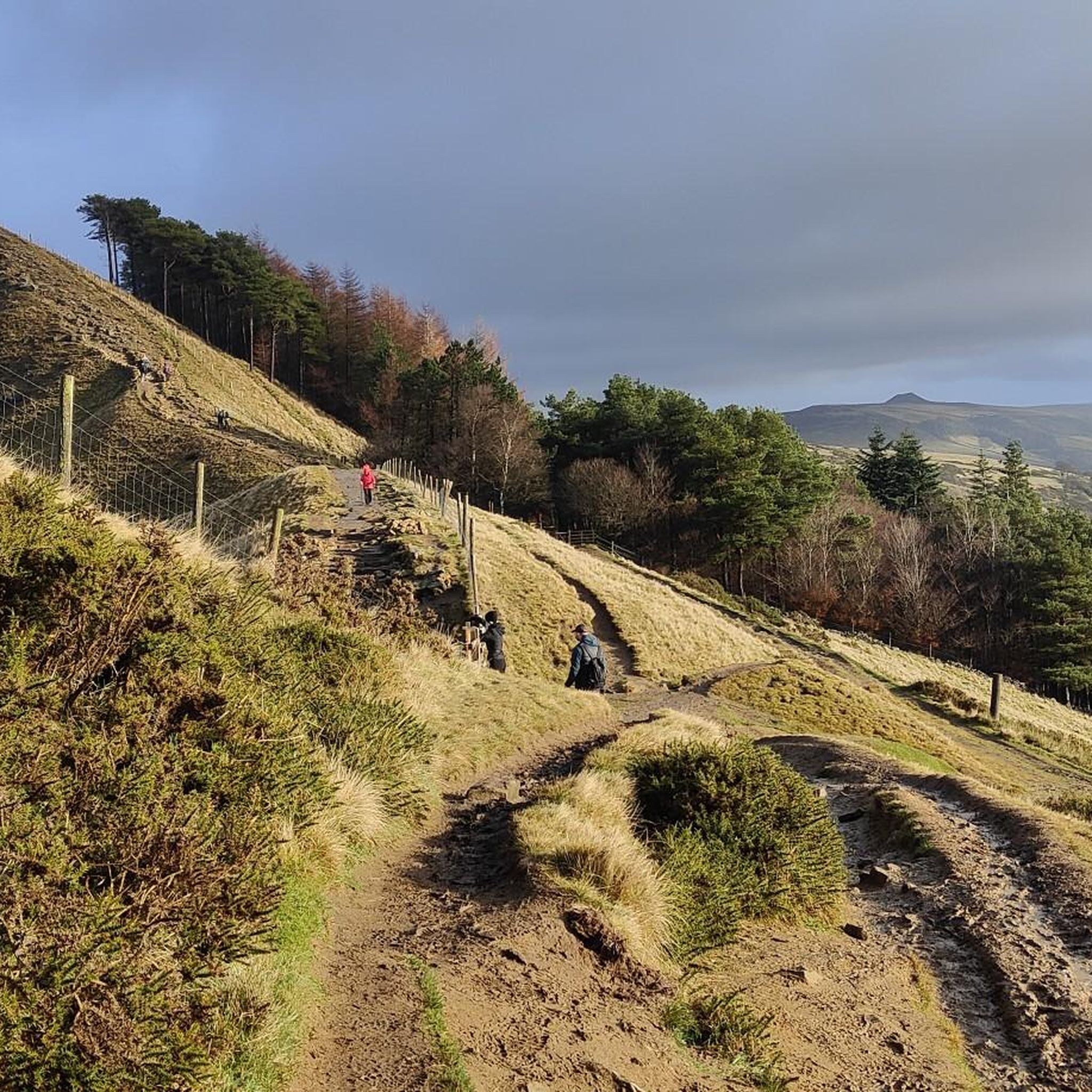
Be prepared to push your bike for a few parts, but much better than Winnats Pass which is very busy with motorized traffic.
0
0
Frequently Asked Questions
How many touring cycling routes are available around Hazlebadge?
There are over 300 touring cycling routes around Hazlebadge, offering a wide range of options for exploring the Peak District National Park.
What is the general terrain like for touring cycling in Hazlebadge?
Touring cycling around Hazlebadge features a hilly and undulating terrain, characteristic of its location within the Peak District National Park. You'll encounter a mix of agricultural landscapes, limestone valleys, and gritstone areas, with elevations ranging from approximately 193 meters (633 ft) to 416 meters (1,365 ft) along Durham Edge. Expect challenging ascents and rewarding descents.
What are the difficulty levels of touring cycling routes in Hazlebadge?
The routes around Hazlebadge cater to various skill levels. You'll find 24 easy routes, 113 moderate routes, and 164 difficult routes, ensuring options for both casual riders and experienced cyclists seeking a challenge.
What do other cyclists say about touring cycling in Hazlebadge?
The touring cycling routes around Hazlebadge are highly rated by the komoot community, with an average score of 4.7 stars from over 390 reviews. More than 11,900 touring cyclists have used komoot to explore the varied terrain, often praising the scenic views and challenging climbs.
Are there any challenging routes for experienced touring cyclists?
Yes, Hazlebadge is situated in the Peak District, known for its 'endless hills' and rigorous cycling experiences. For a demanding ride, consider the Derwent Dam East Tower – Ladybower Reservoir loop from Hope, which covers over 46 km with more than 1,000 meters of elevation gain.
Are there any family-friendly or less strenuous touring cycling options?
While the region is generally hilly, there are easier routes available. For a less strenuous experience, consider exploring parts of the Monsal Trail in the wider Derbyshire Peak District, a 13km gravel route on a disused railway that offers scenic views and tunnels. Within Hazlebadge, there are 24 routes classified as easy, though specific family-friendly routes would depend on the children's cycling experience.
What are some scenic stops or landmarks along the touring cycling routes?
Many routes offer stunning views and pass by notable landmarks. You could encounter the iconic Great Ridge, as seen on the Hope Cross – View of The Great Ridge loop from Hope. Other nearby attractions include the Mam Tor summit and trig point, Hollins Cross, and Lose Hill Summit, offering expansive vistas of the Peak District.
Are there any circular touring cycling routes around Hazlebadge?
Yes, many of the touring cycling routes around Hazlebadge are circular, allowing you to start and end in the same location. Examples include the Ladybower loop from Hope and the Café 101 Adventure – Mam Nick North Climb loop from Hope, both popular circular options.
What are some notable natural features to look out for while cycling?
The region boasts diverse natural features. You might cycle past reservoirs, springs, and wells, or through small forestry plots. The wider area includes the Bradwell Dale and Bagshaw Cavern Site of Special Scientific Interest (SSSI), known for its limestone gorge and cave system, and the Deadman's Clough stream. The geology features clay, limestone, gritstone, and lead.
Are there any routes that pass by the Ladybower Reservoir?
Yes, the Ladybower loop from Hope is a popular route that offers views of the Ladybower Reservoir, a significant landmark in the Peak District.
Can I find routes that include the Mam Tor area?
Absolutely. The Cement Works Bridleway – Mam Tor South Face loop from Hope is a challenging route that takes you through the vicinity of Mam Tor, offering stunning views of this iconic Peak District hill.
What is the best season for touring cycling in Hazlebadge?
The Peak District, including Hazlebadge, offers beautiful cycling opportunities throughout the year. Spring and autumn provide pleasant temperatures and vibrant scenery, while summer is ideal for longer days. Winter can be challenging due to colder weather and potentially icy conditions on higher ground, but offers a unique, stark beauty.
Are there any specific bike parks or dedicated trails nearby for more technical riding?
While Hazlebadge itself is rural, the wider Peak District offers dedicated trails. For more technical riding, you can find trails like Houndkirk Road, Lockerbrook Descent, and the Roych Clough Downhill Trail in nearby bike parks.
Most popular attractions around Hazlebadge

Get inspired with the komoot mobile app


Explore more
Browse the best Cycling routes in other regions.
