The best mountain hikes around Hazlebadge
5.0
(3)
16
hikers
6
hikes
Mountaineering routes around Hazlebadge are situated within the Derbyshire Dales district, entirely within the Peak District National Park. The landscape is characterized by rolling hills, significant mounds, and distinctive cliff faces, with land rising to its western and eastern edges. This varied topography provides diverse terrain, including prominent features like Bradwell Dale and gritstone edges. The area offers access to several significant peaks, making it a prime location for outdoor activities.
Best mountaineering routes around Hazlebadge
- The most popular mountaineering…
Last updated: September 30, 2026
5.0
(1)
4
hikers
10.8km
03:05
240m
240m
Moderate mountaineering route. Good fitness required. Easily-accessible paths. Suitable for all skill levels.
5.0
(1)
3
hikers
18.0km
05:28
550m
560m
Hard mountaineering route. Very good fitness required. Mostly accessible paths. Sure-footedness required.

3
hikers
8.60km
02:53
380m
380m
Moderate mountaineering route. Good fitness required. Mostly accessible paths. Sure-footedness required.
5.0
(1)
2
hikers
11.0km
03:35
430m
430m
Moderate mountaineering route. Good fitness required. Mostly accessible paths. Sure-footedness required.
3
hikers
Moderate mountaineering route. Good fitness required. Easily-accessible paths. Suitable for all skill levels.
Our route recommendations are based on thousands of hikes, rides, and runs completed by other people on komoot.
Start today with a free account
Your next adventure awaits.
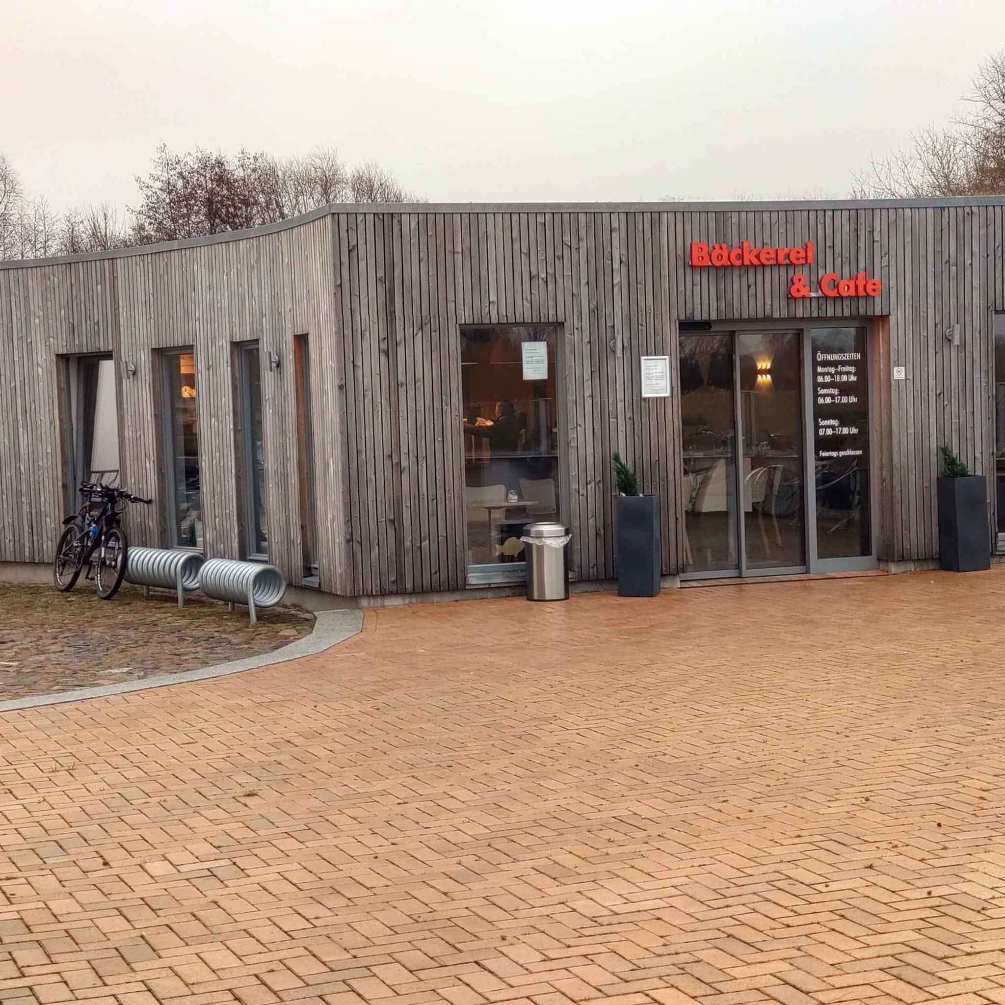
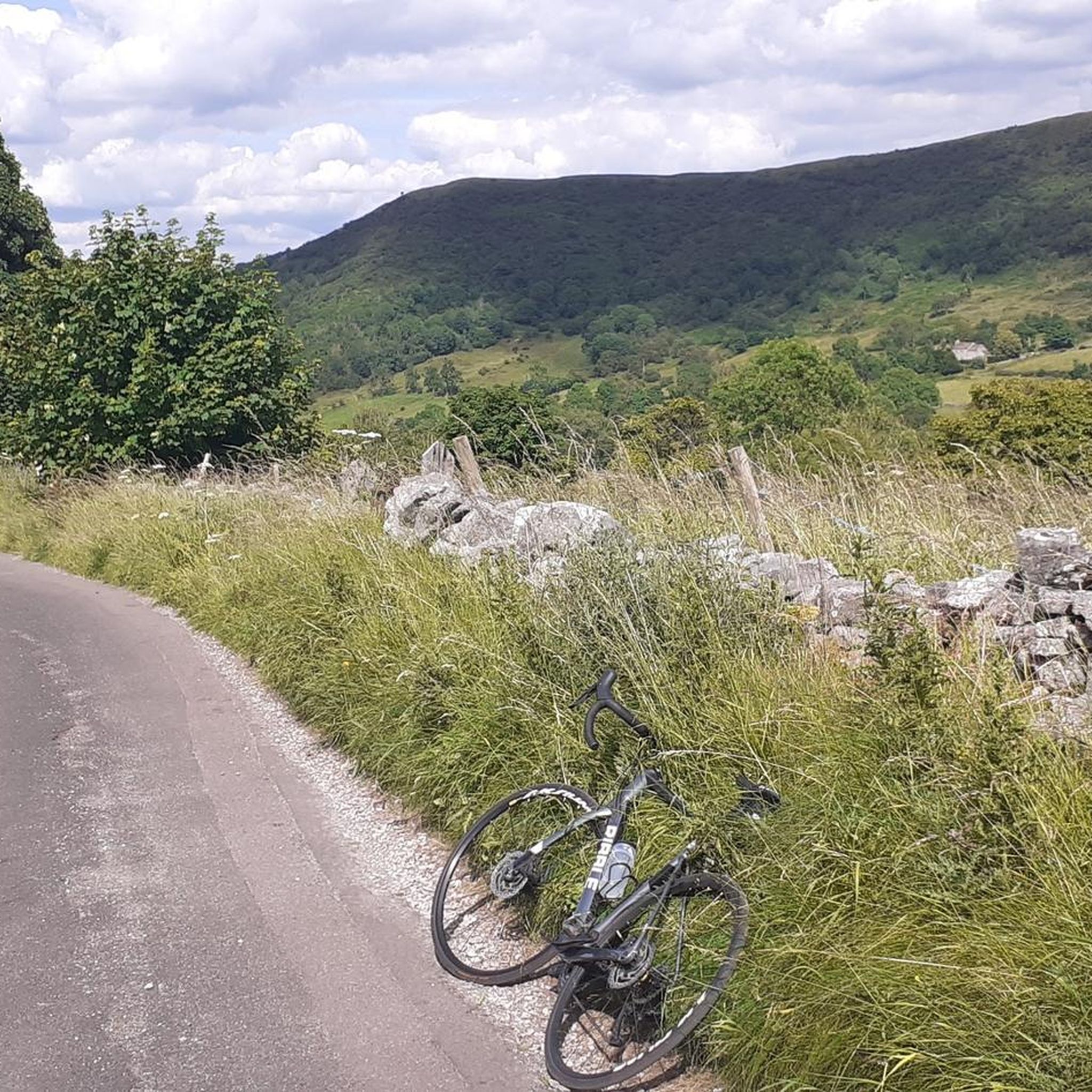
Tips from the Community

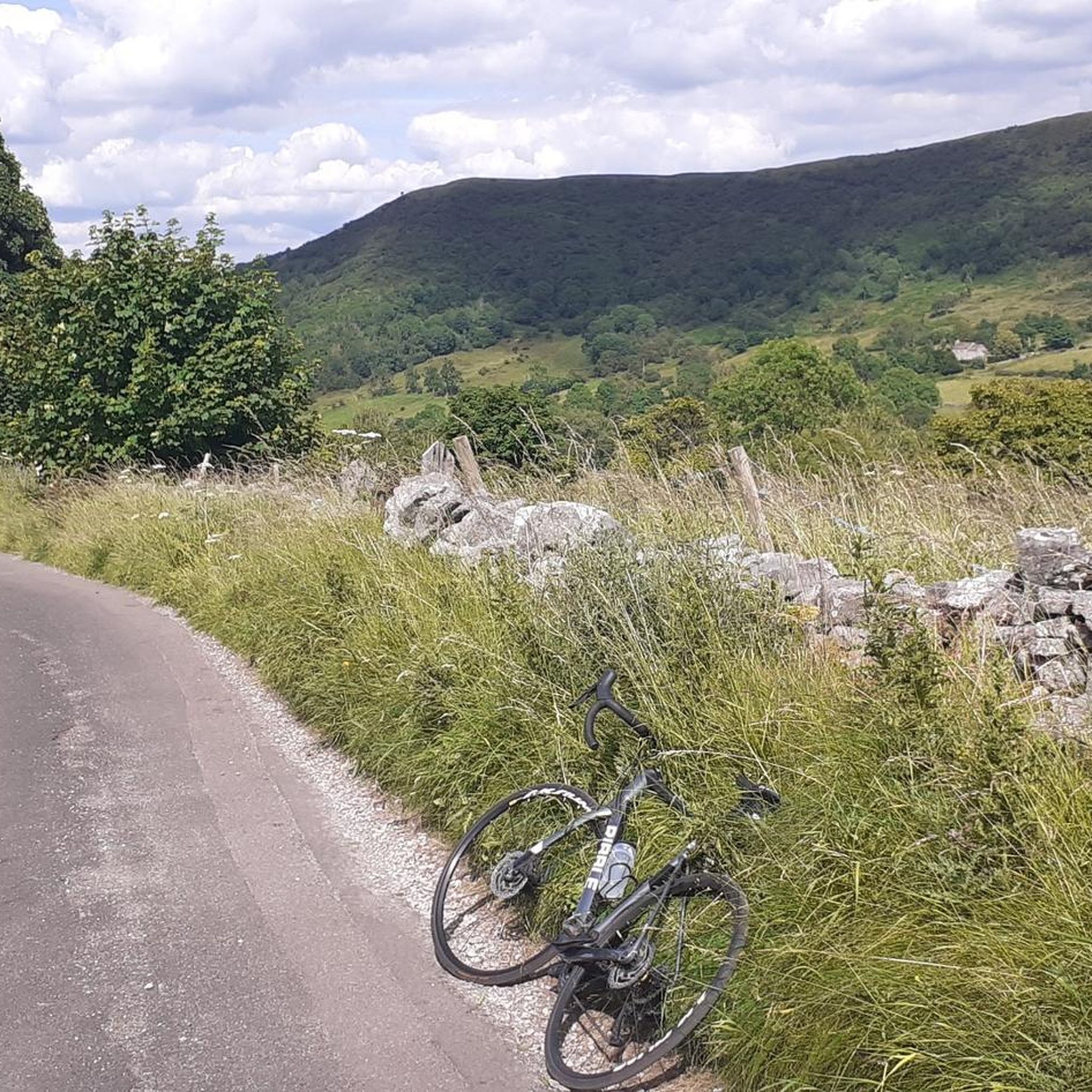
Upper Booth Farm is a lovely rural retreat with good camping facilities. Please mind the footpath, and remember to close gates to avoid wandering livestock. https://www.vanillagiftcard-balance.com
0
0

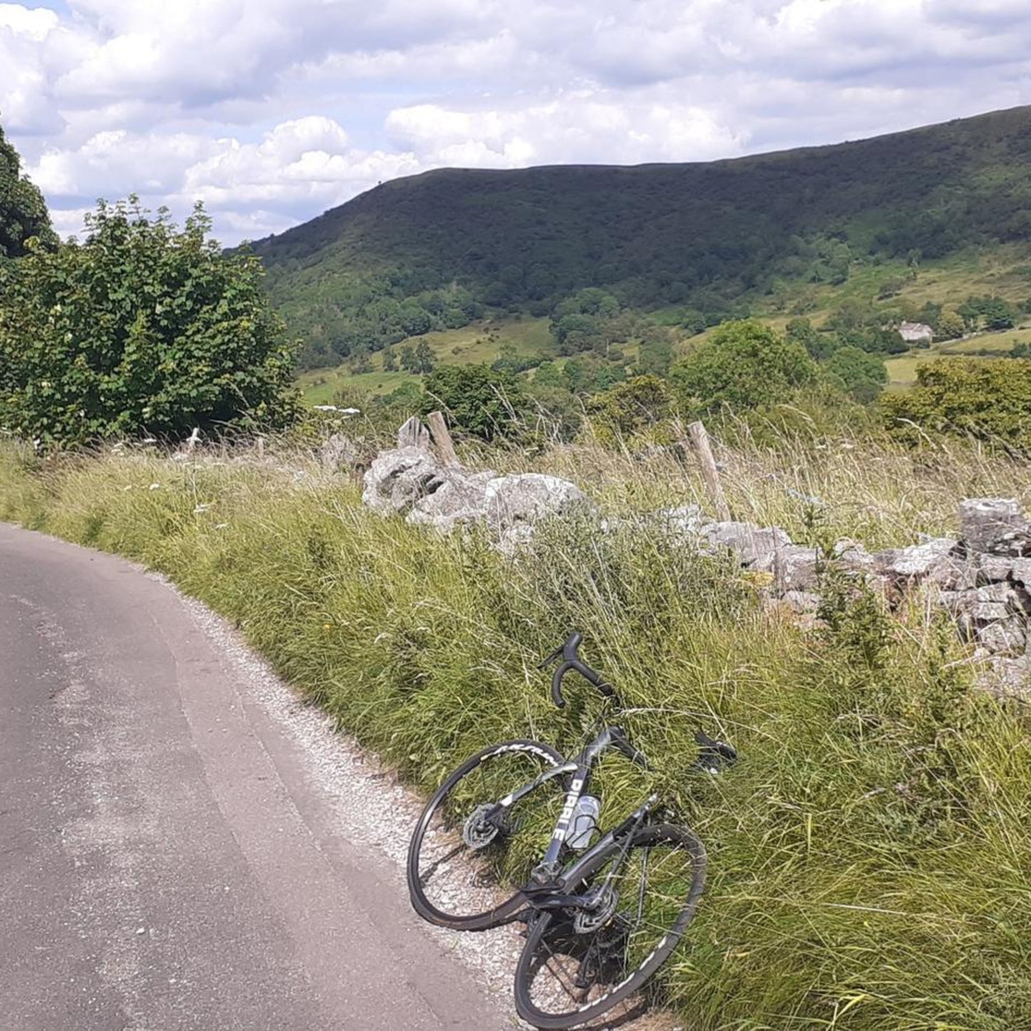
Nice views of the surroundings from the top.
0
0

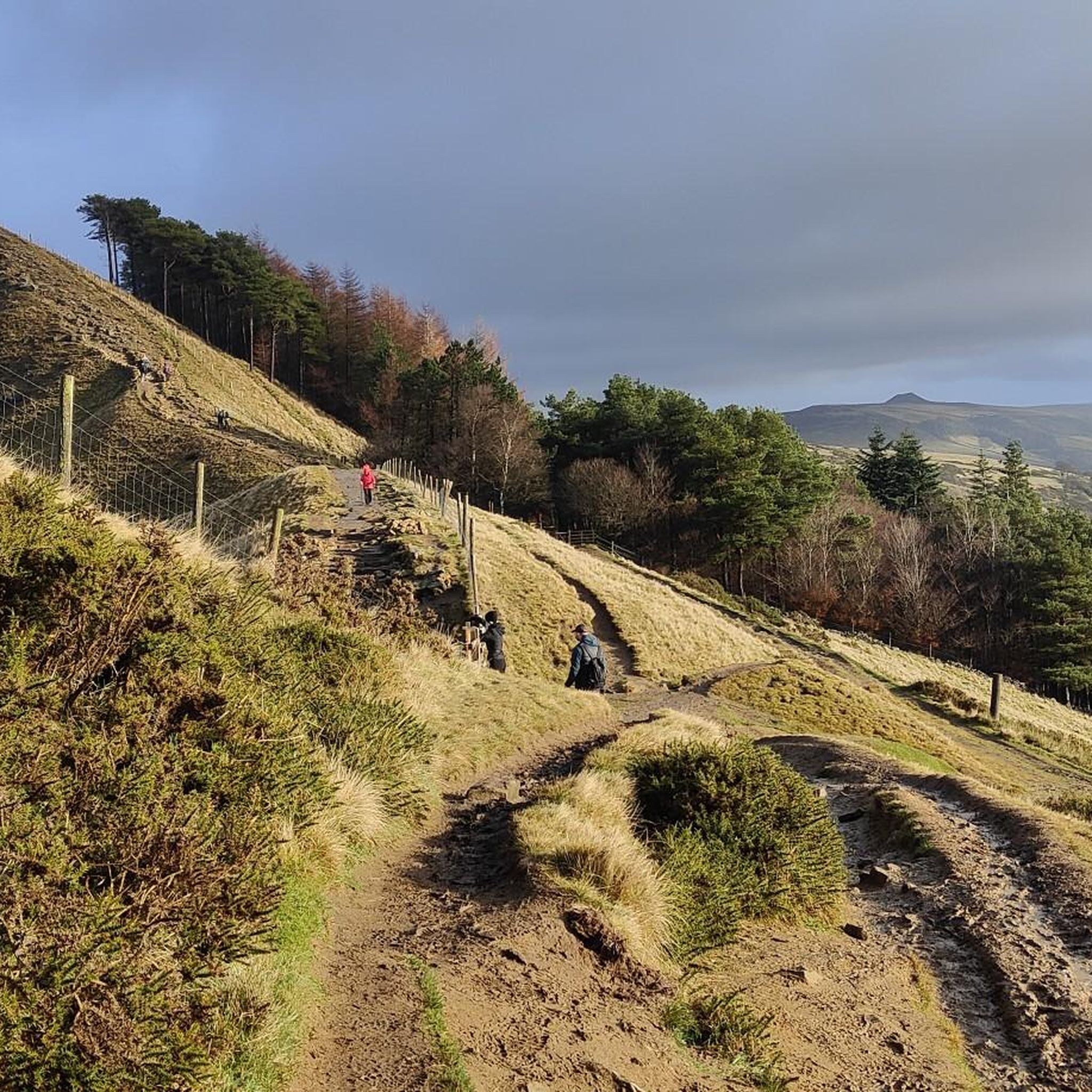
Great place to across the "Parrot Lady" Chloe
0
0

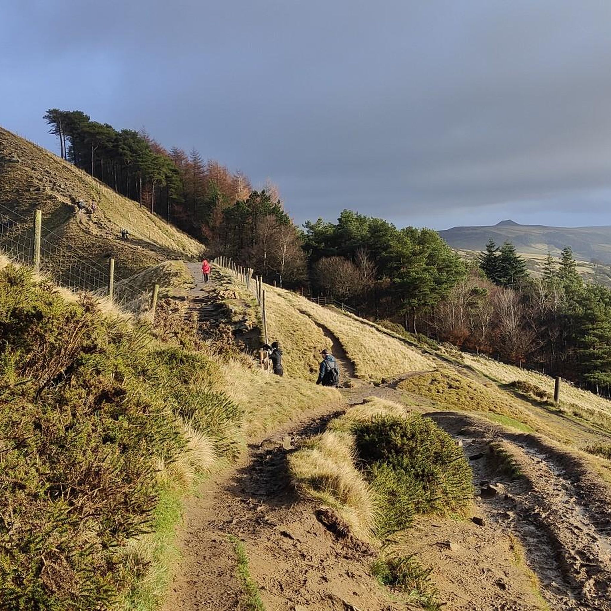
Great sport for both sunrises and Sunsets
0
0
Great place to start hikes parking can get busy but plenty of routes to take
0
0

Frequently Asked Questions
How many mountaineering routes are available around Hazlebadge?
There are 7 mountaineering routes around Hazlebadge listed on komoot. These include 5 moderate routes and 2 difficult routes, offering options for various skill levels.
What kind of terrain can I expect on mountaineering routes in Hazlebadge?
The terrain around Hazlebadge, nestled within the Peak District National Park, is diverse. You'll encounter rolling hills, significant mounds, and distinctive cliff faces. The area features dramatic geology, including limestone gorges like Bradwell Dale and renowned gritstone edges such as Curbar Edge and Froggatt Edge. Expect varied ascents and descents, with some routes leading to prominent peaks like Mam Tor or Win Hill.
Are there any circular mountaineering routes near Hazlebadge?
Yes, many of the mountaineering routes around Hazlebadge are circular. For example, you can explore the Curbar Edge – Froggatt Edge loop from Grindleford, which traverses two famous gritstone edges. Another option is the Edale Village – Upper Booth Farm loop from Edale, offering a moderate challenge through scenic landscapes.
What are some of the more challenging mountaineering routes in the area?
For experienced mountaineers seeking a challenge, the Grindslow Knoll Summit – Mam Tor summit and trig point loop from Edale is a difficult 11.1-mile (17.9 km) path. This route includes significant ascents to prominent summits, providing expansive views across the Peak District.
What natural landmarks or viewpoints can I see along these routes?
The routes offer access to several notable natural landmarks and viewpoints. You can reach the Mam Tor summit and trig point, known for its panoramic views. Other highlights include Lose Hill Summit and the Trig point at Win Hill summit, both offering magnificent vistas. The distinctive gritstone formations of Higger Tor are also accessible.
Are there any routes that pass by water features or reservoirs?
Yes, some routes offer views of impressive water features. The Trig point at Win Hill summit – Ladybower Reservoir Overflow loop from Bamford provides stunning views of the Ladybower Reservoir Overflow and the historic Derwent Dam.
What do other mountaineers enjoy most about Hazlebadge's routes?
The mountaineering routes around Hazlebadge are highly rated by the komoot community, with an average score of 5.0 stars. Reviewers often praise the diverse terrain, from gritstone edges to prominent peaks, and the rewarding views, particularly from summits like Mam Tor.
Is Hazlebadge a good base for exploring other outdoor activities?
Absolutely. Hazlebadge's location within the Peak District National Park makes it an excellent base. Beyond mountaineering, the wider area is renowned for rock climbing and bouldering on its gritstone edges, caving and mine exploration in systems like Bagshaw Cavern, and extensive opportunities for hiking, cycling, and even horse-riding. Many activity centers are available for various pursuits.
Are there any family-friendly mountaineering options, or routes suitable for beginners?
While Hazlebadge's routes are primarily categorized as moderate to difficult mountaineering, the wider Peak District offers many gentler walks. For a moderate introduction to the area's beauty, routes like the Ringing Roger loop from Edale provide varied terrain without extreme difficulty, making them suitable for families with some hiking experience.
What is the best time of year for mountaineering in Hazlebadge?
The Peak District, including Hazlebadge, offers mountaineering opportunities year-round. Spring and autumn provide pleasant temperatures and vibrant scenery. Summer is popular but can be busy, while winter offers a unique, often quieter, experience, though conditions can be challenging with snow and ice, requiring appropriate gear and experience. Always check local weather forecasts before heading out.
Are there any cafes or pubs near the mountaineering routes for refreshments?
Yes, the villages surrounding Hazlebadge, such as Grindleford and Edale, which serve as starting points for several routes, offer options for refreshments. You can find local pubs and cafes to refuel after your mountaineering adventure. The Foolow Village is also noted for its pub.
Most popular attractions around Hazlebadge

Get inspired with the komoot mobile app


Explore more
Browse the best Mountain Hikes & Routes in other regions.
