The best running trails around Tournai
4.3
(327)
21,159
runners
994
runs
Jogging around Tournai offers diverse landscapes, from flat river plains to hilly forests, providing options for various fitness levels. The region is characterized by natural parks, such as the Parc naturel des Plaines de l'Escaut, and the more challenging terrain of the Parc naturel du Pays des Collines. The Scheldt River and its banks provide picturesque paths, while elevated areas like Mont-Saint-Aubert offer routes with significant elevation changes. An extensive network of car-free RAVeL paths also connects green countryside, valleys,…
Last updated: August 17, 2026
4.3
(35)
1,406
runners
18.3km
02:14
440m
440m
Hard run. Very good fitness required. Mostly accessible paths. Some sure footedness required.
4.8
(6)
168
runners
24.1km
02:45
460m
460m
This difficult 15.0-mile jogging route in Plaines de l'Escaut Nature Park features 1513 feet of elevation gain, taking about 2h 45m.

Sign up for free
144
runners
20.6km
02:17
110m
110m
A difficult 12.8-mile (20.6 km) jogging route through the diverse landscapes of Plaines de l'Escaut Nature Park.
3.5
(2)
131
runners
14.8km
01:34
140m
140m
Moderate run. Good fitness required. Mostly paved surfaces. Suitable for all skill levels.
3
runners
Easy run. Great for any fitness level. Mostly paved surfaces. Suitable for all skill levels.
4.2
(10)
870
runners
14.7km
01:45
400m
390m
Hard run. Very good fitness required. Mostly paved surfaces. Suitable for all skill levels.
4.1
(7)
751
runners
17.1km
01:57
340m
340m
Hard run. Very good fitness required. Mostly paved surfaces. Suitable for all skill levels.
4.0
(4)
320
runners
Moderate run. Good fitness required. Mostly paved surfaces. Suitable for all skill levels.
3.0
(1)
309
runners
10.2km
01:14
300m
310m
Hard run. Very good fitness required. Mostly paved surfaces. Suitable for all skill levels.
4.7
(3)
503
runners
7.67km
00:50
40m
40m
Moderate run. Good fitness required. Mostly paved surfaces. Suitable for all skill levels.
Get access to more routes and recommendations from other explorers.
Sign up for free
Already have an account?
Our route recommendations are based on thousands of hikes, rides, and runs completed by other people on komoot.
Start today with a free account
Your next adventure awaits.
Login or Signup
Popular around Tournai
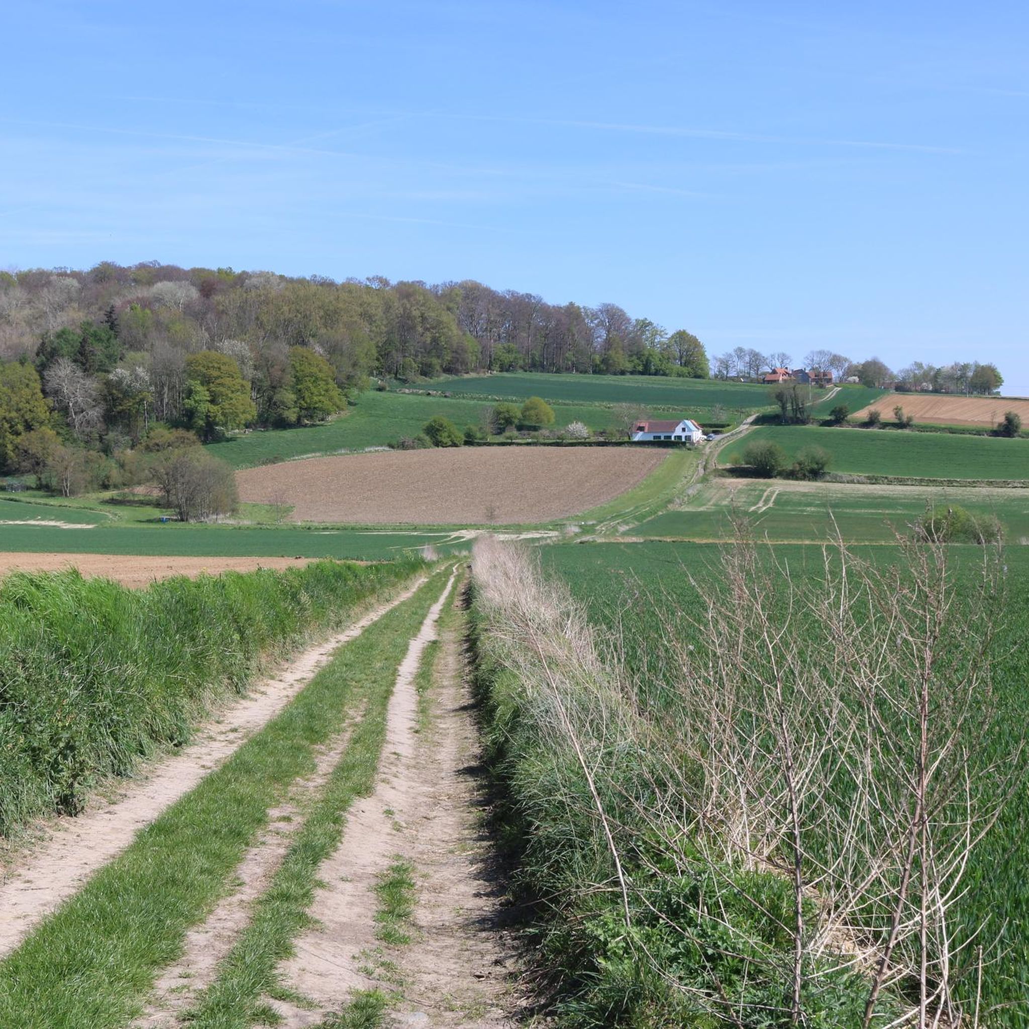
Running Trails in Parc Naturel Des Plaines De L’Escaut
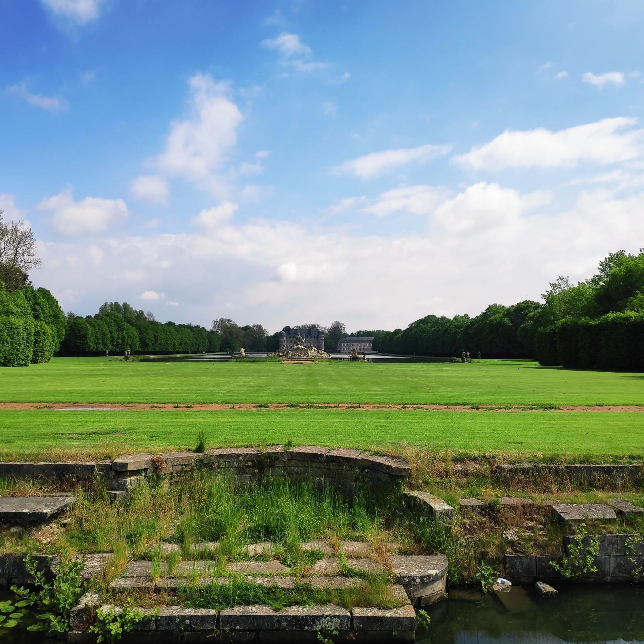
Running Trails in Plaines De L'Escaut Natural Park
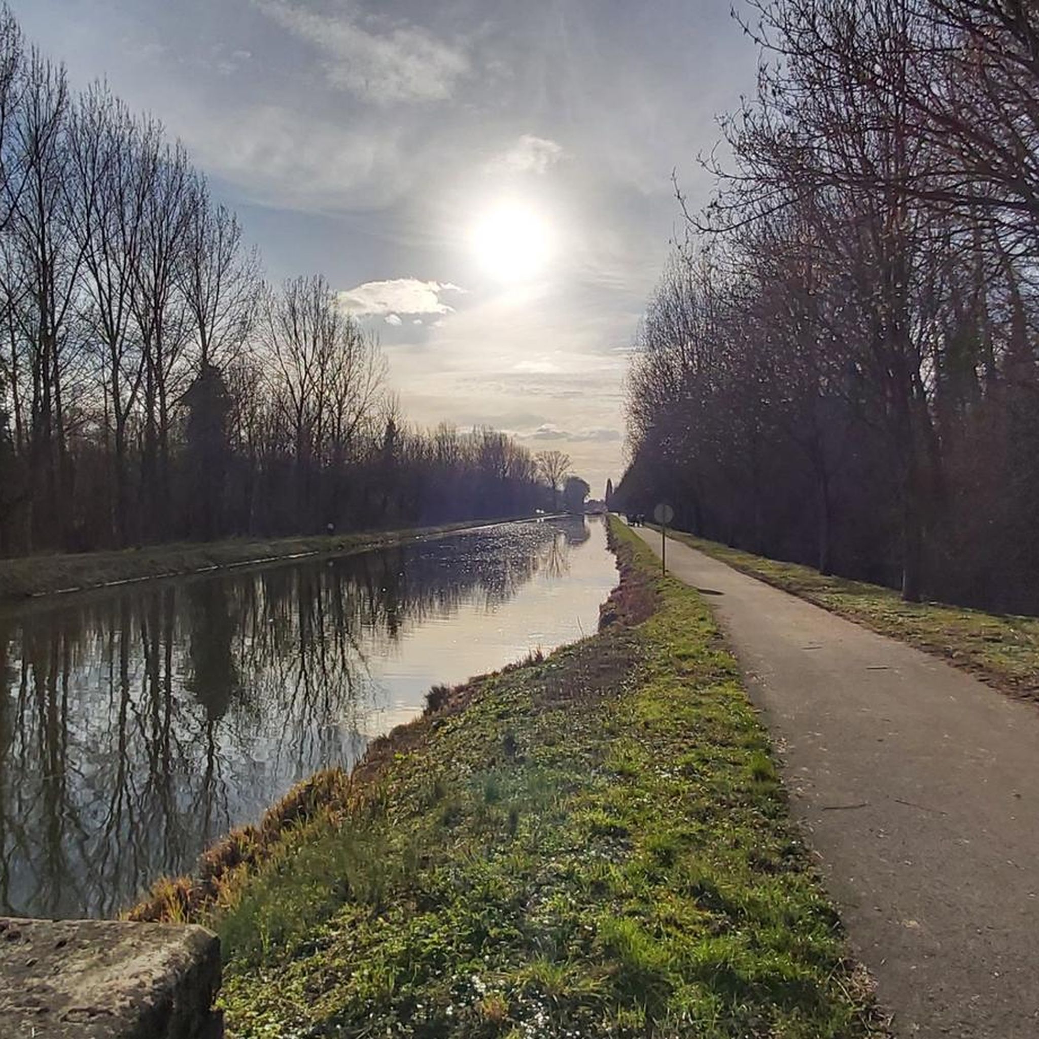
Running Trails around Péruwelz
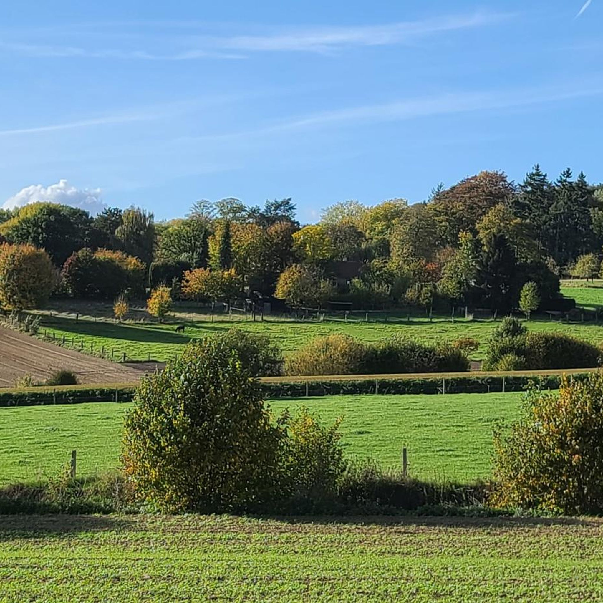
Running Trails around Mont-De-L'Enclus
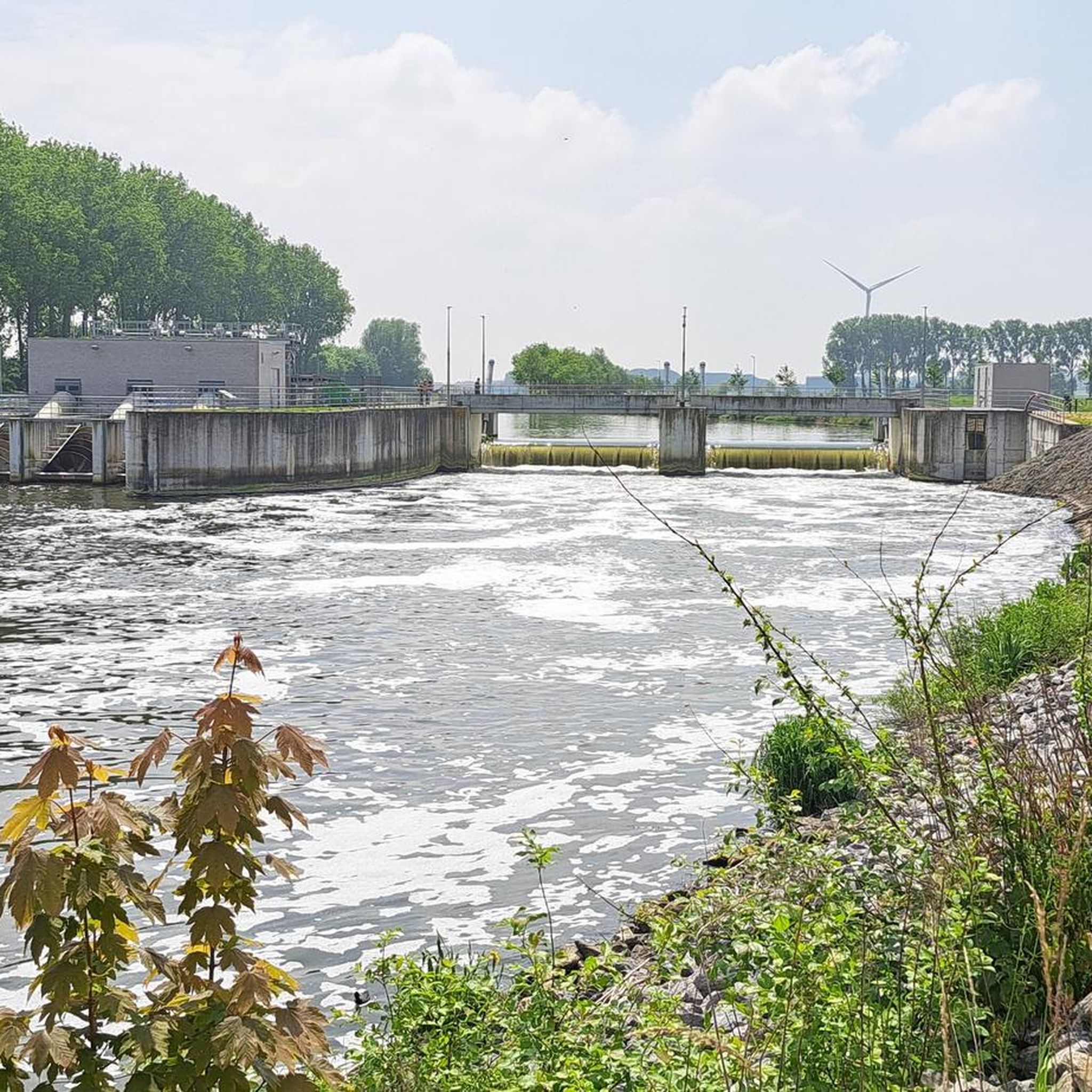
Running Trails around Pecq
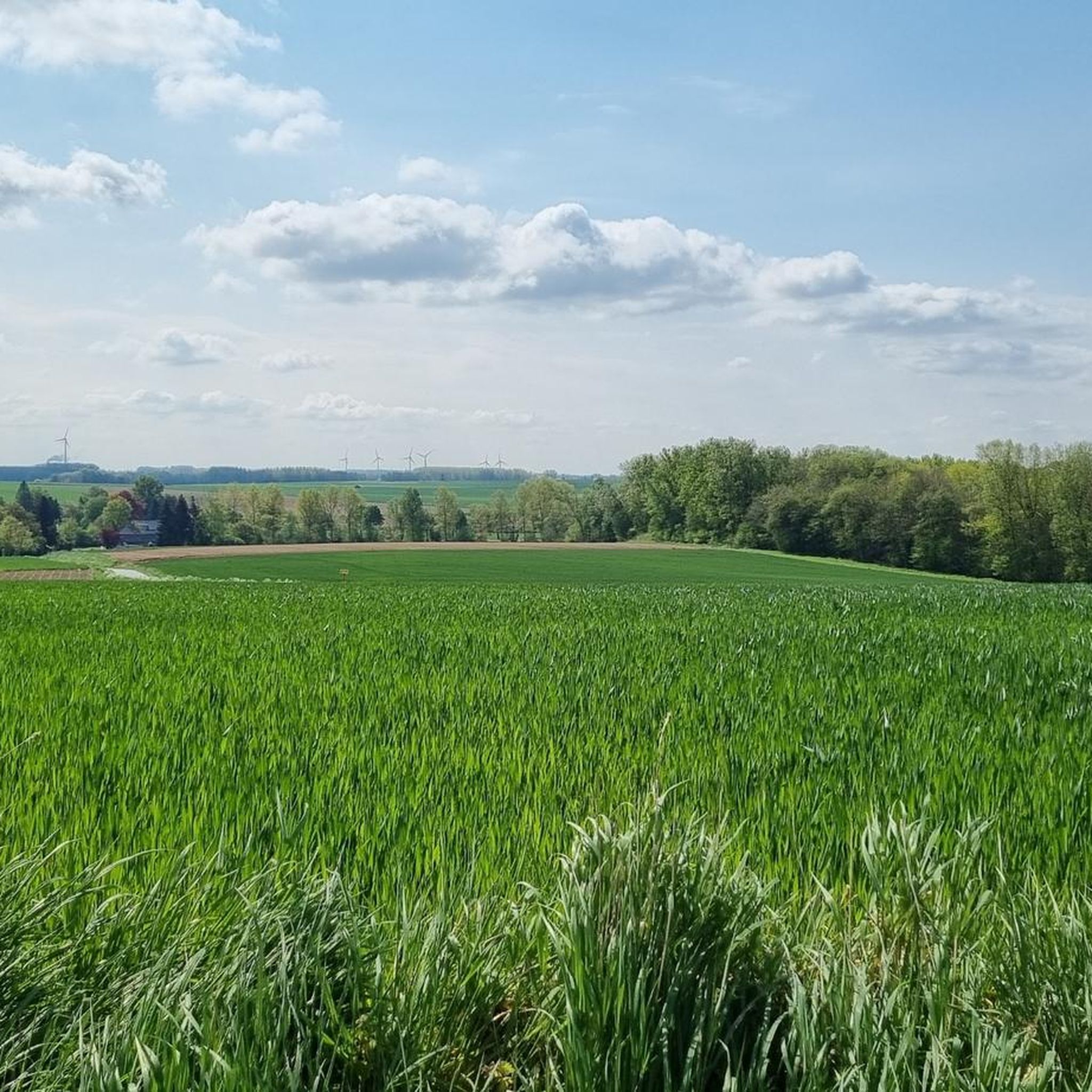
Running Trails around Leuze-En-Hainaut
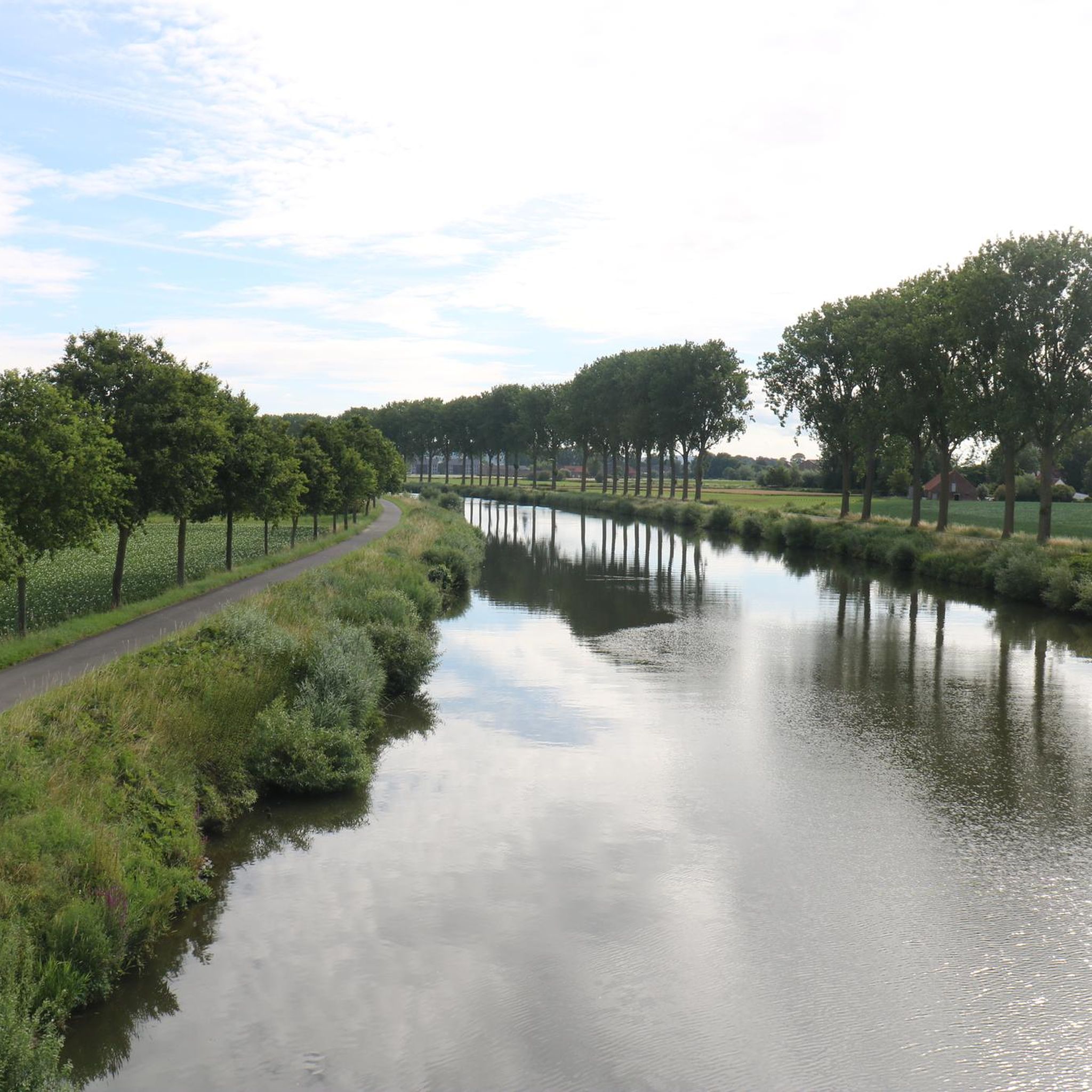
Running Trails around Celles
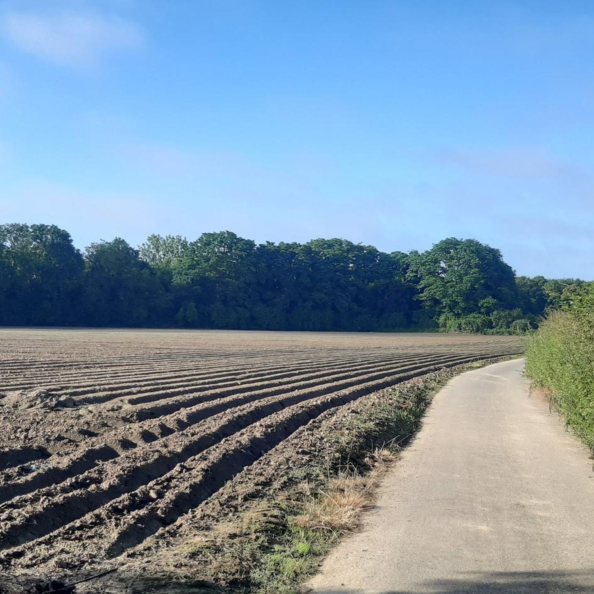
Running Trails around Brunehaut
Running Trails around Estaimpuis
Running Trails around Antoing
Other adventures around Tournai


Tips from the Community

A nice climb nearby and with breathtaking views.
0
0

After the boutique "Le Loft" closed its doors in 2017, the former post office building stood empty for a while, until a restaurant based on a street food concept moved in in 2022... but it only lasted a few months. In May 2024, "Happy Days", a venue for birthday parties for children and young people, opened here. At the end of 2023, the City of Tournai had announced plans to temporarily house the Archaeological Museum (which had to be closed for safety reasons) here, pending the establishment of a specific 'History and Remembrance Centre'," (as can be read on notele.be), but it seems those plans did not go ahead (yet). Source: tournai.be, lavenir.be, dhnet.be
3
0

The Benedictine abbey of Saint-Nicolas-des-Près-sous-Ribemont was founded in 1083 by Anselmus II, lord of Ribemont. On one of the river arms, where the monks had fishing rights, the Hocquerel mill was built at the end of the 12th century, providing the monks with all necessary facilities and services. The abbey burned down in 1570, was looted and partially destroyed during the Wars of Religion, but was rebuilt in 1663. Prior Dupart devoted himself to implementing reforms and restoring the Benedictine rule in its original purity. In 1832, Mr. Bonjour bought the remaining parts of the monastery to establish a wool spinning mill. This is now privately owned.
0
0

Cobbled road with a view of Mont-Saint-Aubert (for those walking/climbing northwards) or Cain and Tournai (for those walking/descending southwards).
3
0

Hello, the photos do not really correspond to the existing paths (apart from the weather) which are much worse today.
0
0

Farm track that climbs gently. Passable on gravel.
1
0

Frequently Asked Questions
How many running routes are available in Tournai?
Tournai offers a wide variety of running routes, with over 900 options available. These routes cater to all fitness levels, from easy strolls to challenging runs through diverse landscapes.
Are there easy running routes suitable for beginners in Tournai?
Yes, Tournai has a good selection of easy running routes, with 45 trails specifically rated as easy. A great option is the Circuit du Maréchal de Croÿ n°30 in the Plaines de l'Escaut Nature Park, which is an easy 4.6 km (2.9 miles) route. The city's river banks also offer gentle paths.
What kind of terrain can I expect on Tournai's running trails?
The terrain around Tournai is quite varied. You'll find flat river paths along the Scheldt, ideal for steady runs, as well as woodland trails in areas like Kluisbos Forest. For those seeking a challenge, the Parc naturel du Pays des Collines and elevated areas like Mont-Saint-Aubert offer hilly landscapes with significant elevation changes.
Are there challenging running routes with significant elevation gain in Tournai?
Absolutely. For runners looking for a vigorous workout, areas like Mont-Saint-Aubert and Mont de l'Enclus provide strenuous routes. The Mont-Saint-Aubert Loop, for instance, is a difficult 24.1 km (15.0 miles) path featuring substantial elevation changes and scenic views.
Can I find circular running routes in Tournai?
Yes, many of Tournai's running routes are circular, allowing you to start and finish in the same location. Examples include the Exploring in the Kluisbos route and the Bois de Bon-Secours and Lake Bernissart Loop, both offering diverse landscapes in a loop format.
What natural features or landmarks can I see while running in Tournai?
Tournai's routes offer a blend of natural beauty and historical sights. You can run along the picturesque Scheldt River, explore the woodlands of Kluisbos Forest, or discover the diverse landscapes of the Parc naturel des Plaines de l'Escaut. Historic landmarks like the medieval Pont des Trous and the ancient Fort Rouge can also be incorporated into urban runs, as seen on routes like the Ruins in Tournai – Pont des Trous loop.
Are there family-friendly running options in Tournai?
For families, the gentler paths along the Scheldt River and the well-maintained RAVeL network are excellent choices. These car-free routes offer safe and relatively flat terrain, suitable for all ages. Many parks within Tournai also provide pleasant, easy-going environments for a family run.
Is Tournai suitable for dog-friendly running?
Many natural areas and trails around Tournai are suitable for running with dogs, especially in the natural parks and woodlands. It's always advisable to keep your dog on a leash and check local regulations for specific areas, but generally, the region's extensive network of paths welcomes well-behaved dogs.
How can I access running routes in Tournai using public transport?
Tournai is well-connected by public transport, and many routes are accessible from the city center or nearby villages. The extensive RAVeL network, which connects various sites of tourist interest, is particularly accessible via public transport, offering car-free paths through green countryside and villages.
What do other runners say about the trails in Tournai?
The running routes in Tournai are highly regarded by the komoot community, boasting an average score of 4.3 stars from over 270 reviews. Runners often praise the varied terrain, from tranquil river paths to challenging hilly sections, and the beautiful natural surroundings that make each run unique.
Are there any specific networks of paths ideal for running in Tournai?
Yes, the RAVeL network (Réseau Autonome de Voies Lentes) is a fantastic resource for runners in Tournai. These car-free paths, often built along disused railway lines and towpaths, are well-maintained, safe, and gently sloping, making them perfect for long, uninterrupted runs through scenic landscapes.
Are there any viewpoints or scenic spots along the running routes?
Many routes offer beautiful views, especially those in elevated areas. The Mont-Saint-Aubert area is renowned for its scenic vistas, providing panoramic views of the surrounding countryside. Routes along the Scheldt River also offer picturesque waterside scenery.
Can I combine running with exploring historical sites in Tournai?
Absolutely! Tournai's rich history allows for runs that double as sightseeing tours. The 'Historic Heart Circuit Trail' passes along the Scheldt River and by UNESCO sites within the city. You can incorporate landmarks like the Pont des Trous or the city's well-preserved architecture into your urban runs, offering a unique blend of exercise and cultural exploration.
Most popular routes around Tournai
Most popular attractions around Tournai

Get inspired with the komoot mobile app


Didn’t find what you were looking for?
Check out more Running Trails & Routes throughout Tournai below and find the perfect route in your destination.
Explore more
Browse the best Running Trails & Routes in other regions.
