The best traffic-free bike rides around Tournai
4.3
(259)
8,064
riders
360
rides
No traffic road cycling routes around Tournai offer diverse terrain, from flat canal paths to rolling hills. The region is characterized by green landscapes and scenic waterways, including the Espierres Canal and the Scheldt River, which provide mostly flat, well-paved surfaces. For those seeking elevation, hills like Mont-Saint-Aubert present more challenging ascents. This blend of gentle routes and moderate climbs makes Tournai a varied destination for road cyclists.
Best no traffic road cycling routes around Tournai
- The most popular no…
Last updated: July 14, 2026
3.8
(4)
56
riders
37.6km
01:54
60m
60m
Moderate road ride. Great for any fitness level. Some segments of this route may be unpaved and difficult to ride.
282
riders
91.2km
04:25
810m
810m
Moderate road ride. Good fitness required. Mostly well-paved surfaces and easy to ride.

Sign up for free
4.8
(5)
203
riders
Easy road ride. Great for any fitness level. Mostly well-paved surfaces and easy to ride.
4.2
(5)
128
riders
48.9km
02:12
200m
200m
Moderate road ride. Good fitness required. Mostly well-paved surfaces and easy to ride.
133
riders
110km
04:33
360m
360m
Moderate road ride. Good fitness required. Mostly well-paved surfaces and easy to ride.
Get access to more routes and recommendations from other explorers.
Sign up for free
Already have an account?
Our route recommendations are based on thousands of hikes, rides, and runs completed by other people on komoot.
Start today with a free account
Your next adventure awaits.
Login or Signup
Popular around Tournai

Traffic-free bike rides in Parc Naturel Des Plaines De L’Escaut

Traffic-free bike rides around Estaimpuis

Traffic-free bike rides in Plaines De L'Escaut Natural Park

Traffic-free bike rides around Antoing
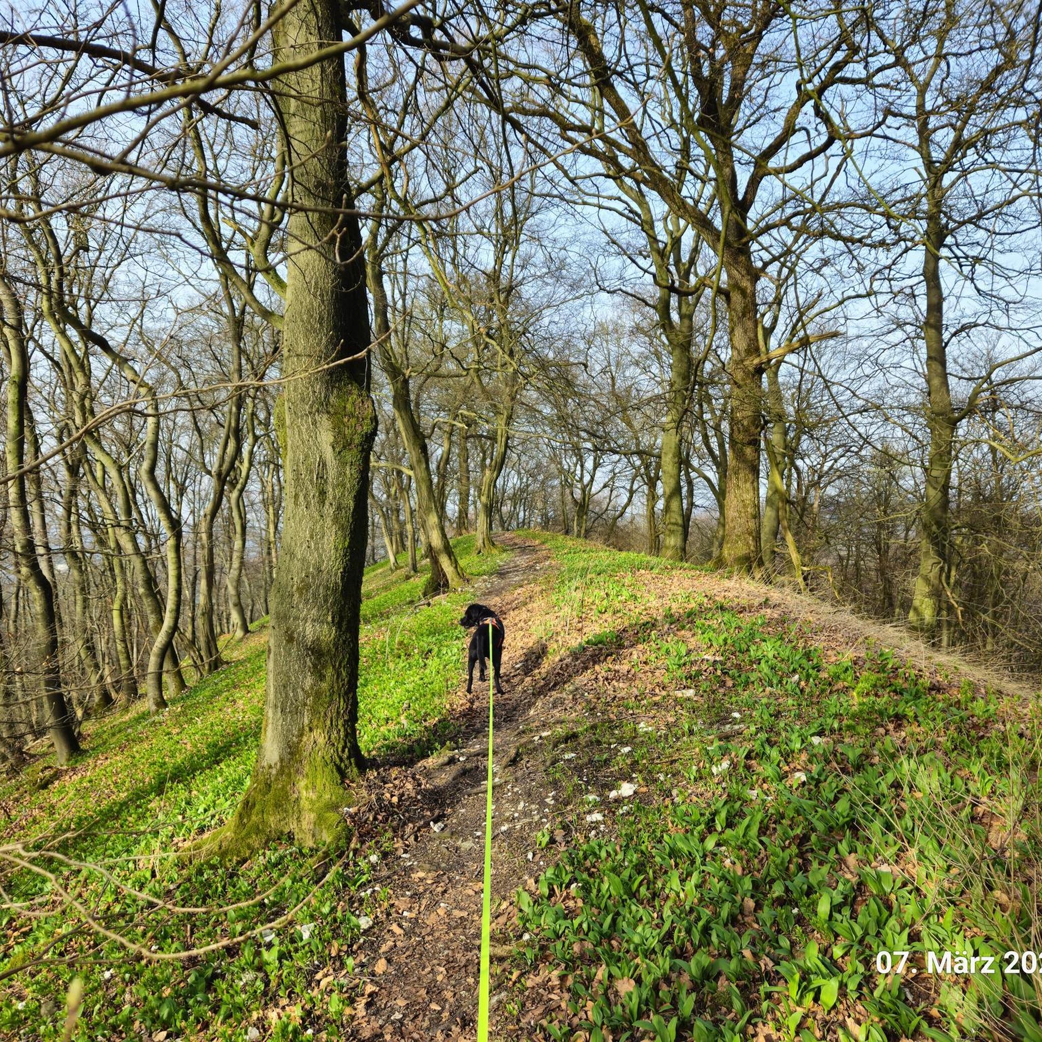
Traffic-free bike rides around Leuze-En-Hainaut

Traffic-free bike rides around Celles
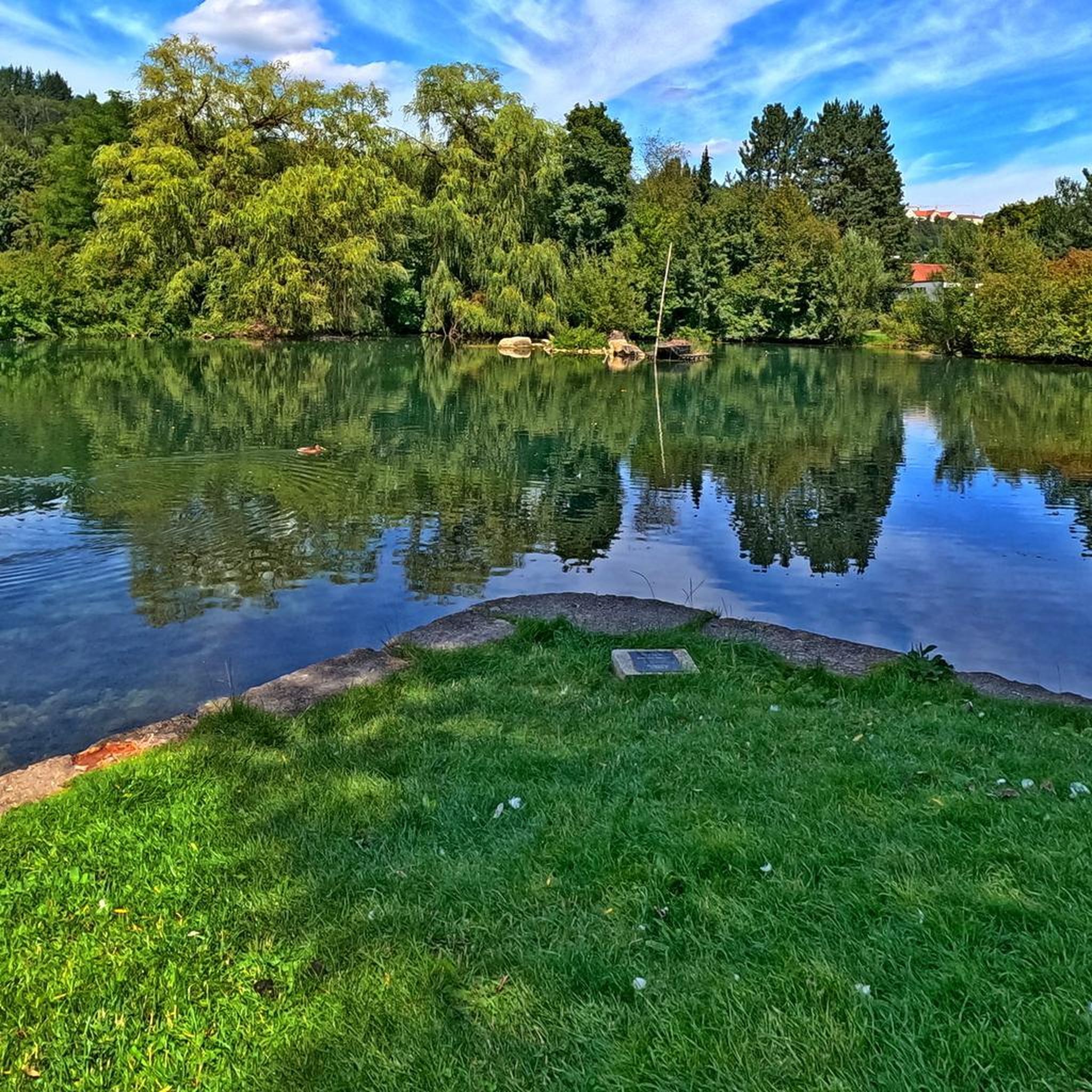
Traffic-free bike rides around Brunehaut

Traffic-free bike rides around Rumes
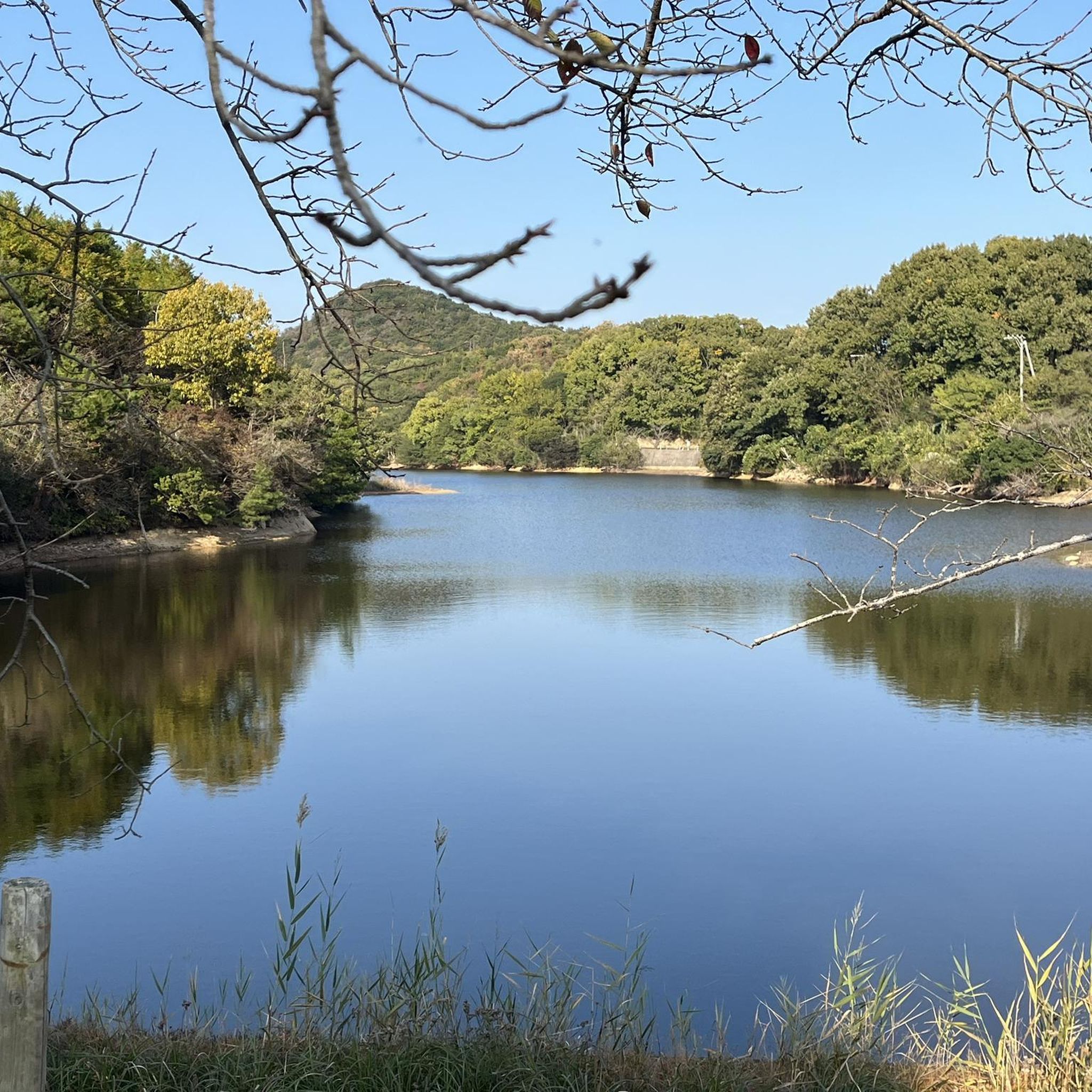
Traffic-free bike rides around Péruwelz
Traffic-free bike rides around Pecq
Other adventures around Tournai


Tips from the Community

Due to a breach in the wall near Ellestraat (approximately halfway along the canal), the canal completely emptied in 1959. The damage was later linked to the digging work of muskrats. (Wikipedia)
6
0
A practical and smooth connection for cyclists and pedestrians between Flanders and Wallonia.
6
0

Between 1857 and 1860, the old Bossuit-Kortrijk canal was dug using spades and wheelbarrows, as well as horse and cart. After the construction of the new canal in the early 1970s, this old section of the canal remained in place. As a result, an ideal spawning ground was created here. Fish find few suitable opportunities to spawn and lay their eggs. They do this on aquatic and riparian plants, which are present in limited numbers in the canal. Species such as rudd and pike require plants to complete their reproduction. The creation of fish spawning grounds gives the fish population a "natural" boost. However, it is not only fish that benefit from this nature development zone. Dragonflies, amphibians, waterfowl, and breeding birds also find an ideal habitat there. Source: information board on site
4
0
The Kortrijk-Bossuit Canal was built between 1858 and 1860 to connect the Leie and Scheldt rivers, primarily to transport coal from the Borinage to Flanders.
4
0

This original, enormous artwork consists of a table and 10 robinia wood chairs. These pieces of furniture enhance the illusion of oversized space and transport the viewer back to childhood. It's one of the artistic works you can discover along the Arty trail, which runs between Roubaix (FR) and Tournai (BE) along the Roubaix and Scheldt Canal (www.parcoursarty.com).
6
0
Bridge over the Scheldt between Warcoing and Spiere.
5
0

A good spot to discover
0
0

A nice climb on good asphalt. The first 400m averages 6%. A steep section up to 11% for the next 400m, then a bit of pushing, averaging 4%. A nice challenge, and a beautiful view on the right.
0
0
Frequently Asked Questions
How many no-traffic road cycling routes are available around Tournai?
There are over 340 no-traffic road cycling routes around Tournai, offering a wide variety of options for different skill levels and preferences. You'll find everything from easy, flat rides to more challenging routes with elevation.
What makes Tournai a good region for no-traffic road cycling?
Tournai's diverse landscapes, including gentle canal paths and scenic waterways like the Espierres Canal and the Scheldt River, provide excellent flat, well-paved surfaces. The region also benefits from the extensive RAVeL network, utilizing disused rail tracks and tranquil canal towpaths, ensuring many car-free sections. For those seeking more challenge, hills like Mont-Saint-Aubert offer rewarding climbs.
What do other cyclists say about no-traffic road cycling in Tournai?
The no-traffic road cycling routes around Tournai are highly rated by the komoot community, with an average score of 4.26 stars. Reviewers often praise the quiet, scenic paths, the variety of terrain, and the opportunity to explore both natural beauty and cultural heritage without vehicle interference.
Are there no-traffic road cycling routes suitable for beginners in Tournai?
Yes, Tournai offers over 110 easy no-traffic road cycling routes perfect for beginners. These routes typically feature minimal elevation gain and follow well-maintained paths, often along canals or disused railway lines. An example is the IJzerweg Bridge – Giant Wooden Table and Chairs loop from Froyennes, which is rated as easy.
Can I find challenging no-traffic road cycling routes with significant climbs near Tournai?
Absolutely. While many routes are flat, you can find more challenging options that incorporate climbs. For instance, the Climb to the Moulin de Thimougies – Thimougies Mill loop from Herseaux - Herzeeuw offers over 650 meters of elevation gain. Additionally, hills like Mont-Saint-Aubert and Kluisberg (Mont de l'Enclus) are popular for their challenging ascents and are often integrated into longer, more demanding routes.
Are there any circular no-traffic road cycling routes around Tournai?
Yes, many of the no-traffic road cycling routes around Tournai are designed as loops, allowing you to start and end at the same point. Examples include the Blue Square Route and the Grand Large de Péronnes – Pont des Trous loop from Froyennes, which offer convenient circular journeys.
What is the best time of year to enjoy no-traffic road cycling in Tournai?
The spring and summer months (April to September) generally offer the most pleasant conditions for road cycling in Tournai, with milder temperatures and less chance of rain. However, the well-maintained paths and canal routes can be enjoyed year-round, though winter rides may require appropriate gear for colder, potentially wetter conditions.
Are there options for parking near the start of these no-traffic routes?
Yes, many routes start from towns or villages with public parking facilities. When planning your ride on komoot, you can often find information about parking options near the route's starting point. For routes along the RAVeL network or canal paths, designated parking areas are frequently available.
Can I find places to stop for refreshments along the no-traffic routes?
Many no-traffic routes in the Tournai region pass through or near charming villages and towns where you can find cafes, bakeries, and restaurants. The region's cultural heritage means you're often close to amenities. Planning your route with komoot allows you to identify potential refreshment stops along the way.
What can I see along the no-traffic road cycling routes around Tournai?
You can discover a variety of attractions and natural features. Many routes offer views of the Scheldt River Path at Outrijve or pass by landmarks like the IJzerweg Bridge. You might also encounter natural monuments such as Coupure Deweer or the unique Giant Liedericq. The historic city of Tournai itself, with its UNESCO-listed sites, is also accessible via some routes.
Are there any long-distance no-traffic road cycling routes in the Tournai area?
Yes, for those looking for longer rides, the Tournai region offers routes that extend over significant distances. For example, the Le pas Roland – Climb of Mons-en-Pévèle loop from Antoing covers over 110 kilometers. The region is also part of international routes like EuroVelo 5, which utilizes many car-free sections, allowing for extended journeys.
Most popular routes around Tournai
Most popular attractions around Tournai

Get inspired with the komoot mobile app


Didn’t find what you were looking for?
Check out more Road cycling routes throughout Tournai below and find the perfect route in your destination.
Explore more
Browse the best Road cycling routes in other regions.
