The best walks and hikes around Ceraso
4.3
(260)
1,159
hikers
79
hikes
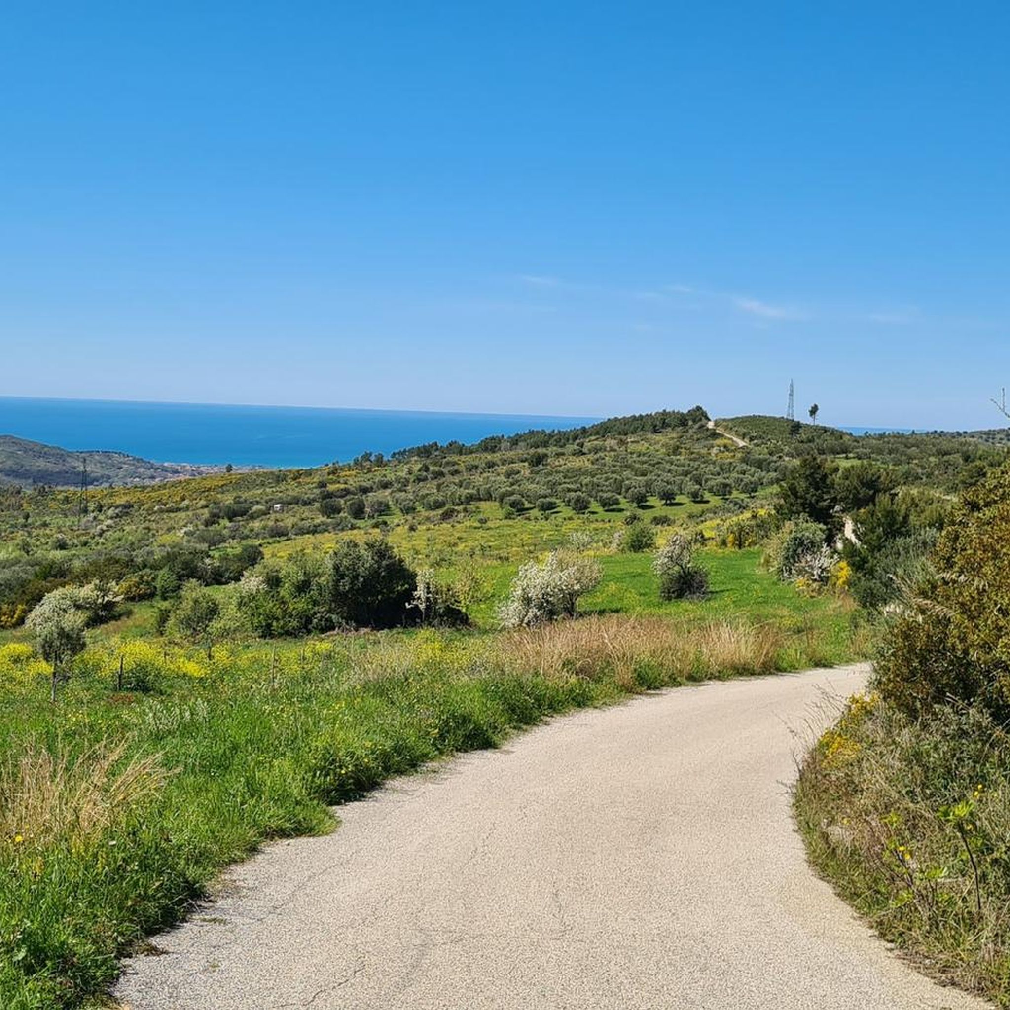
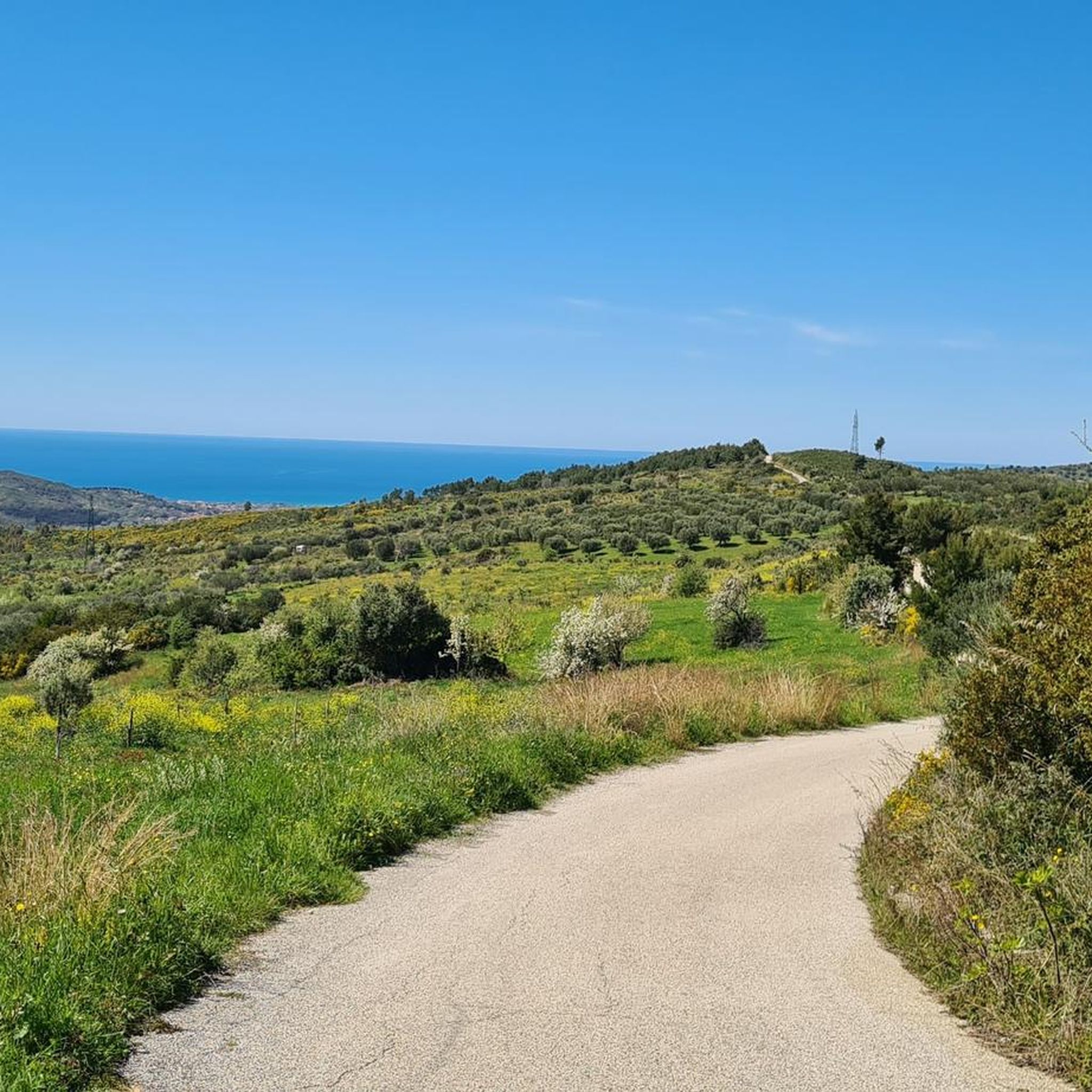
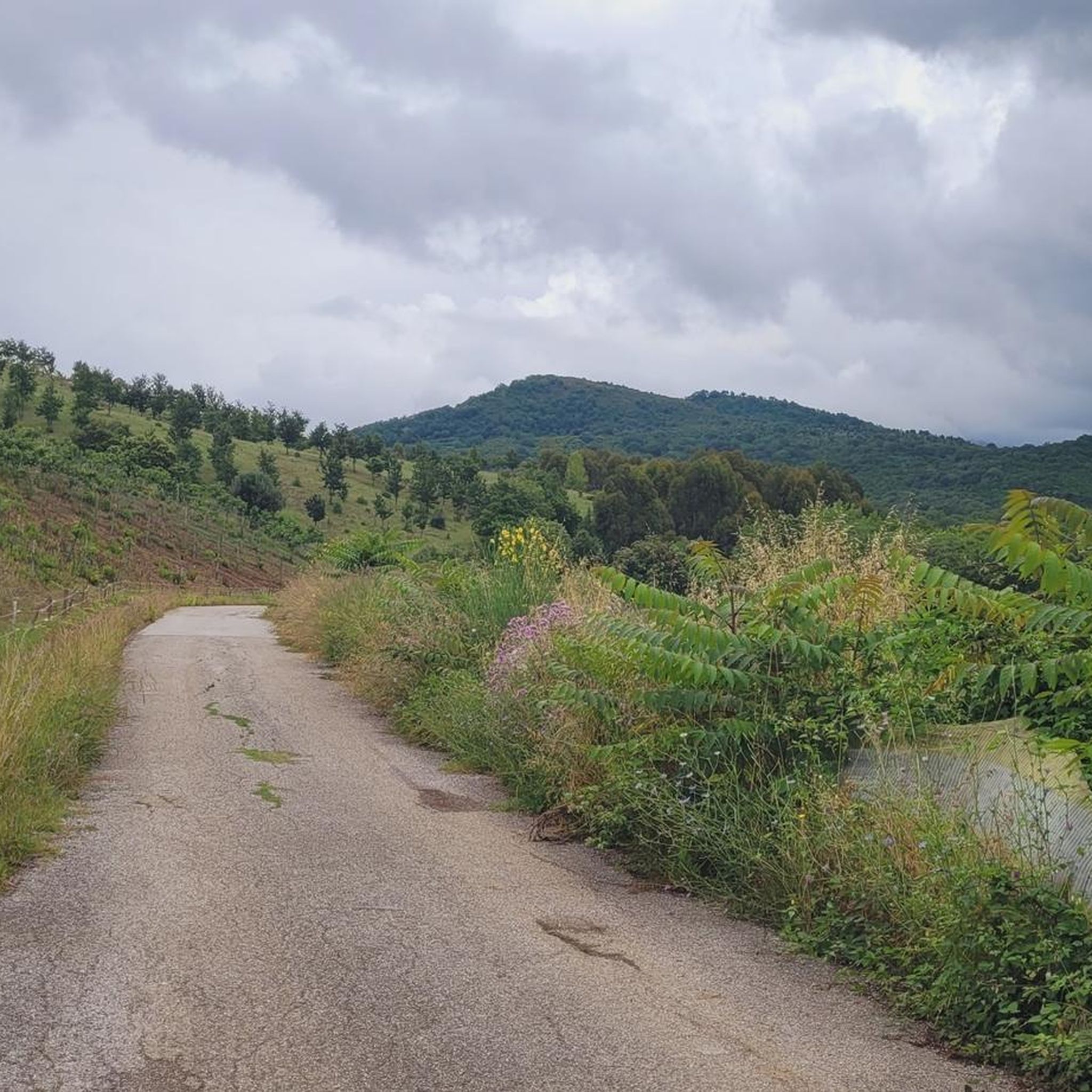
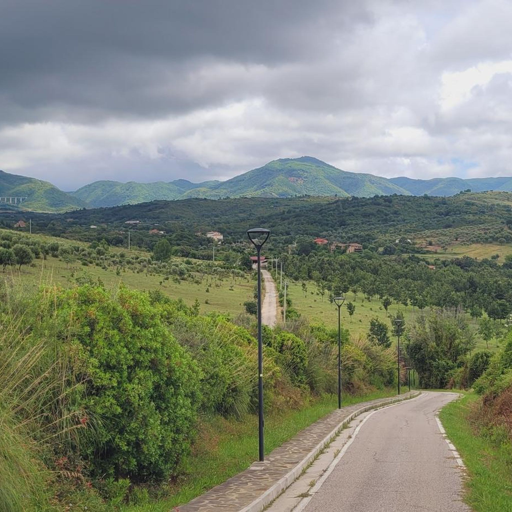
Hiking around Ceraso offers a diverse landscape characterized by rolling hills, dense woodlands, and historical pathways. The region features varied terrain, including significant elevation changes leading to panoramic viewpoints. Trails often traverse traditional routes connecting ancient villages and natural springs.
Best hiking trails around Ceraso
- The most popular hiking route is Pilgrims' Trail to Monte Gelbison, a 11.6 miles (18.7 km) trail that takes 7 hours 25 minutes to complete. This challenging route features substantial elevation gain as it…
Last updated: August 31, 2026
5.0
(3)
8
hikers
18.7km
07:25
1,150m
1,150m
Hard hike. Very good fitness required. Mostly accessible paths. Sure-footedness required.
4.6
(28)
79
hikers
11.2km
04:29
880m
880m
Moderate hike. Good fitness required. Easily-accessible paths. Suitable for all skill levels.

Sign up for free
4.6
(9)
15
hikers
12.5km
04:20
660m
660m
Moderate hike. Good fitness required. Easily-accessible paths. Suitable for all skill levels.
4.4
(5)
12
hikers
Moderate hike. Good fitness required. Easily-accessible paths. Suitable for all skill levels.
4.5
(6)
12
hikers
6.91km
02:04
220m
210m
Moderate hike. Good fitness required. Easily-accessible paths. Suitable for all skill levels.
Get access to more routes and recommendations from other explorers.
Sign up for free
Already have an account?
Our route recommendations are based on thousands of hikes, rides, and runs completed by other people on komoot.
Start today with a free account
Your next adventure awaits.
Login or Signup
Tips from the Community

Stations of the Cross on the way to the summit.
1
0

Please note: Starting in 2025, license plate registration will be automatically recorded on the access road. Anyone entering the area by car should pay via MooneyGo. Be sure to observe the signs.
0
0


Here is the information about the Sanctuary of the Madonna del Monte Sacro: https://it.wikipedia.org/wiki/Santuario_della_Madonna_del_Monte_Sacro_di_Novi_Velia https://www. Escursionismo.it/escursioni/sul-monte-gelbison-la-terrazza-del-cilento/ https://www.ilcilentano.it/sacro-monte-gelbison-tra-natura-e-culto-mariano/
2
0
Beautiful panoramic point along the Novi Velia path to Monte Sacro
2
0
Parking in the "Santa Croce" area to climb Gelbison and reach the Sanctuary of the Madonna del Monte Sacro. Normally you pay a ticket, by the hour or even for the whole day if you stay overnight for example with a camper. 600 m of altitude difference. Sturdy shoes are necessary and also a fair amount of training.
2
0
The last stretch to the summit leads along the Way of the Cross
2
0
Ice-cold spring water that you should drink slowly... that's what we were advised 😊
1
0
Frequently Asked Questions
How many hiking trails are available around Ceraso?
There are over 60 hiking routes around Ceraso, offering a diverse range of experiences. This includes 25 easy routes, 36 moderate trails, and 4 more challenging hikes for experienced adventurers.
What kind of terrain can I expect on hikes in Ceraso?
The hiking trails around Ceraso feature a diverse landscape of rolling hills, dense woodlands, and historical pathways. You'll encounter varied terrain, often with significant elevation changes leading to panoramic viewpoints. Many routes traverse traditional paths connecting ancient villages and natural springs.
Are there any challenging hikes in the Ceraso area?
Yes, for those seeking a challenge, there are 4 difficult routes. A notable challenging hike is the Pilgrims' Trail to Monte Gelbison, which is 11.6 miles (18.7 km) long and involves substantial elevation gain as it ascends towards Monte Gelbison.
Are there any circular hiking routes around Ceraso?
Yes, Ceraso offers several circular routes. Two popular options include the Stations of the Cross – The Sacred Spring loop from Novi Velia, a moderate 7.0-mile (11.2 km) path, and the Stations of the Cross – Passo della Beta loop from Tempa della Pantanella, which is 7.8 miles (12.5 km) long and leads through mountain passes and wooded areas.
What are some interesting historical sites or landmarks to see while hiking?
Many trails in Ceraso pass by significant historical sites. You can explore the Acropolis of Velia or the Velia Archaeological Site (Ancient Elea). The Historic Streets of Angellara – Medieval Tower of Novi Velia loop from Vallo della Lucania also takes you past historical points of interest.
Are there any hikes suitable for families with children?
While specific 'family-friendly' tags aren't used, the 25 easy routes available are generally suitable for families. Shorter, moderate loops like the Old Prison – Historic Streets of Angellara loop from Vallo della Lucania, which is 6.7 miles (10.8 km) long, could also be good options depending on the children's experience.
What is the best time of year to go hiking in Ceraso?
The best times for hiking in Ceraso are typically spring (April-June) and autumn (September-October). During these seasons, the weather is generally mild and pleasant, making for comfortable conditions. Summer can be hot, especially at midday, while winter might bring cooler temperatures and occasional rain.
Are there any scenic viewpoints or summits accessible by hiking?
Yes, the region is known for its elevated viewpoints. The Madonna del Monte Sacro Sanctuary and Monte Gelbison Summit is a prominent destination offering expansive views. Many trails, especially those with significant elevation gain, lead to panoramic vistas over the surrounding landscape.
What do other hikers enjoy most about hiking in Ceraso?
The hiking routes in Ceraso are highly rated by the komoot community, with an average score of 4.3 stars from over 230 reviews. Hikers often praise the diverse terrain, the historical significance of the trails, and the beautiful panoramic views from elevated points.
Is public transport available to reach the hiking trails in Ceraso?
Information on specific public transport links directly to trailheads is not readily available within the guide data. It is generally recommended to check local bus schedules or consider driving to access many of the hiking starting points in the Ceraso region.
Are dogs allowed on the hiking trails in Ceraso?
While there are no specific restrictions mentioned in the guide data, it's generally advisable to keep dogs on a leash, especially in areas with livestock or wildlife. Always ensure your dog is well-behaved and that you clean up after them to maintain the natural environment for all users.
What should I wear for hiking in Ceraso during the summer?
For summer hiking in Ceraso, lightweight, breathable clothing is recommended, along with sturdy hiking shoes. Given the potential for significant elevation changes and sun exposure, a hat, sunglasses, and plenty of water are essential. Sunscreen is also highly advisable.
Most popular attractions around Ceraso

Get inspired with the komoot mobile app


Explore more
Browse the best Hikes in other regions.
