The best walks and hikes in the Southern Uplands Mountains
4.5
(1795)
14,459
hikers
392
hikes
Hiking in the Southern Uplands Mountains offers diverse landscapes, from broad-topped moorland hills to steep-sided mountains. This region is characterized by ancient geological formations, glacial valleys, and numerous lochs and rivers. Key hill ranges include the Galloway Hills, Moffat and Tweedsmuir Hills, and Lowther Hills, providing varied terrain for outdoor activities.
Best hiking trails in the Southern Uplands Mountains
- The most popular hiking route is Loch Skeen return via Grey Mare's Tail, a 2.9 miles (4.6 km) trail that takes 2 hours 3 minutes to complete. This moderate route features the dramatic Grey Mare's Tail waterfall and leads to the remote Loch Skeen.
- Another top favourite among local hikers is Loch Trool loop, a moderate 6.1 miles (9.8 km) path. This trail offers a scenic circuit around Loch Trool, set within the Galloway Forest Park.
- Local hikers also love the Merrick Trail, a 8.0 miles (12.9 km) trail leading through the Galloway Hills, often completed in about 4 hours 42 minutes. This route ascends Merrick, the highest peak in Southern Scotland, offering panoramic views.
- Hiking in the Southern Uplands Mountains is defined by rolling moorland hills, steep-sided mountains, and numerous lochs and rivers. The network of trails offers options for various ability levels, from gentle riverside walks to challenging mountain ascents.
- The routes in Southern Uplands Mountains are highly rated by the komoot community with an average score of 4.5 stars from more than 900 reviews. More than 9000 hikers have used komoot to explore Southern Uplands Mountains's varied terrain.
Last updated: August 17, 2026
4.9
(85)
861
hikers
4.63km
02:03
270m
270m
Moderate hike. Good fitness required. Mostly accessible paths. Sure-footedness required.
4.6
(87)
541
hikers
9.85km
02:40
140m
140m
Moderate hike. Good fitness required. Easily-accessible paths. Suitable for all skill levels.

Sign up for free
4.7
(29)
302
hikers
12.9km
04:42
820m
820m
Moderate hike. Good fitness required. Easily-accessible paths. Suitable for all skill levels.
4.2
(25)
158
hikers
12.4km
04:42
680m
680m
Moderate hike. Good fitness required. Mostly accessible paths. Sure-footedness required.
4.6
(37)
271
hikers
7.84km
02:05
80m
80m
Moderate hike. Good fitness required. Easily-accessible paths. Suitable for all skill levels.
4.8
(19)
152
hikers
12.8km
03:24
130m
130m
Moderate hike. Good fitness required. Easily-accessible paths. Suitable for all skill levels.
4.6
(19)
125
hikers
11.7km
03:03
80m
80m
Moderate hike. Good fitness required. Easily-accessible paths. Suitable for all skill levels.
4.6
(18)
125
hikers
13.4km
03:32
120m
120m
Moderate hike. Good fitness required. Easily-accessible paths. Suitable for all skill levels.
4.6
(23)
121
hikers
6.13km
01:41
100m
100m
Easy hike. Great for any fitness level. Easily-accessible paths. Suitable for all skill levels.
4.4
(17)
139
hikers
4.75km
01:13
20m
20m
Easy hike. Great for any fitness level. Easily-accessible paths. Suitable for all skill levels.
Get access to more routes and recommendations from other explorers.
Sign up for free
Already have an account?
Our route recommendations are based on thousands of hikes, rides, and runs completed by other people on komoot.
Start today with a free account
Your next adventure awaits.
Login or Signup
Popular around Southern Uplands Mountains
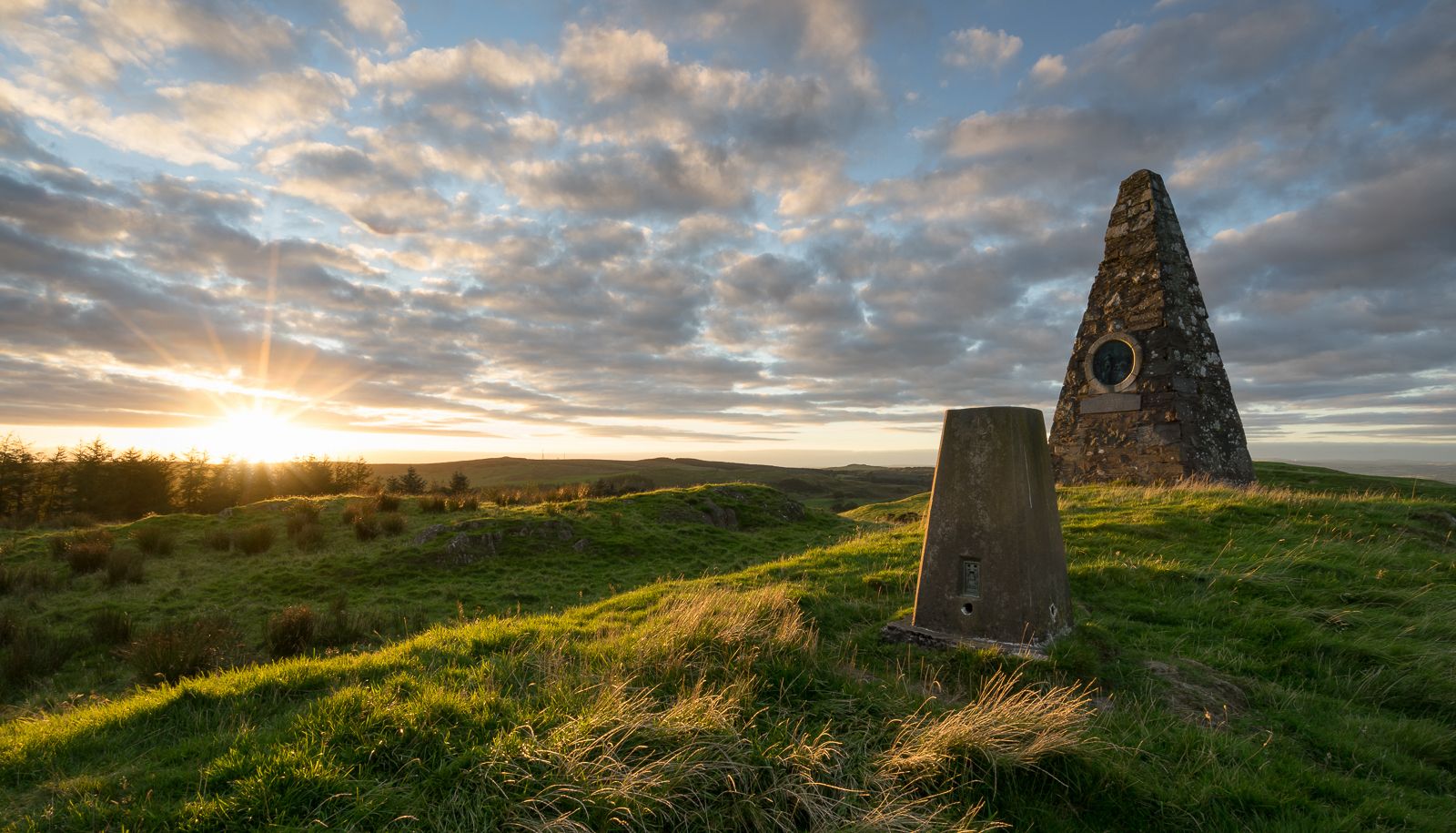
Hiking the Annandale Way – From wild hills to the sparkling sea
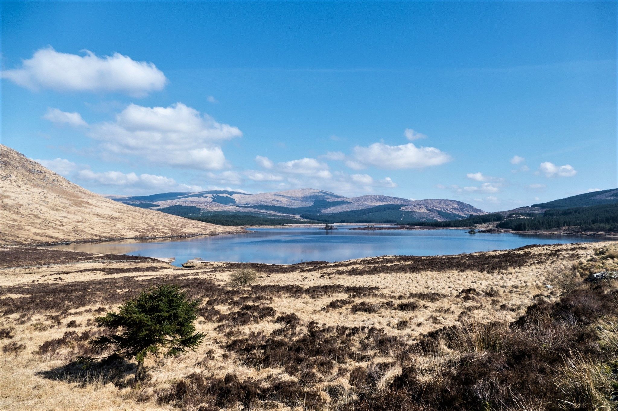
Southern Upland Way — A wild and undiscovered coast-to-coast challenge
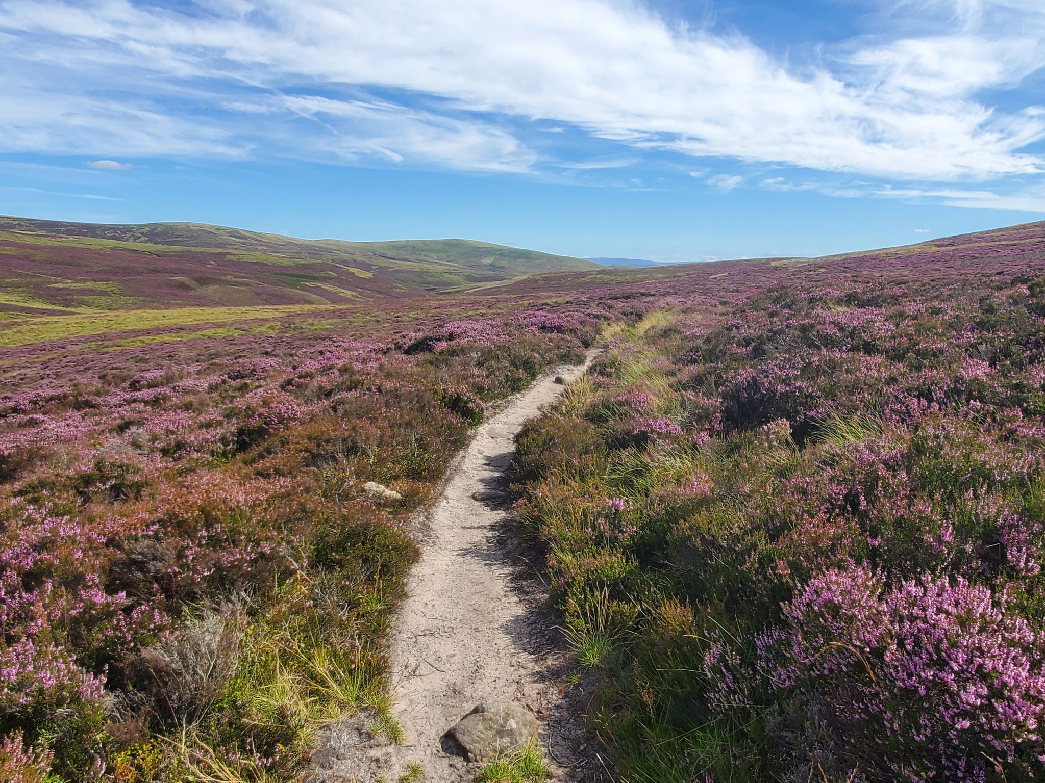
Hike in the footsteps of history – Cross Borders Drove Road
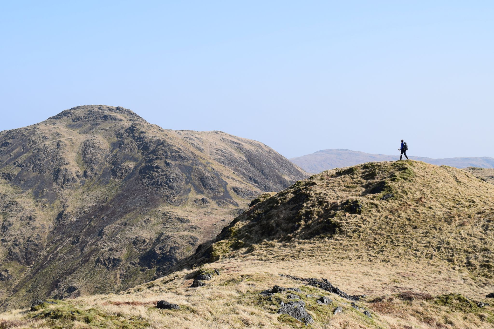
Ring of Fire — a rugged adventure in Scotland's Southern Uplands
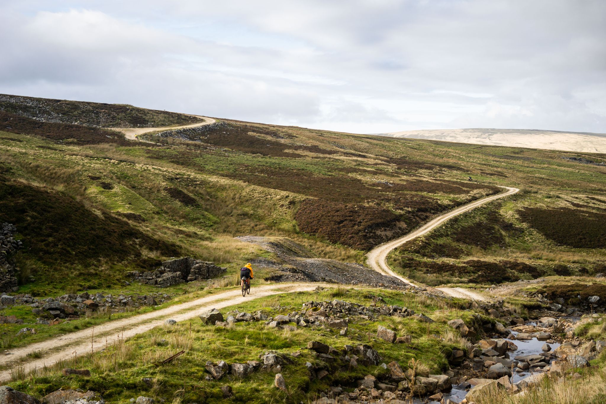
Second City Divide — Rough Stuff Of The North
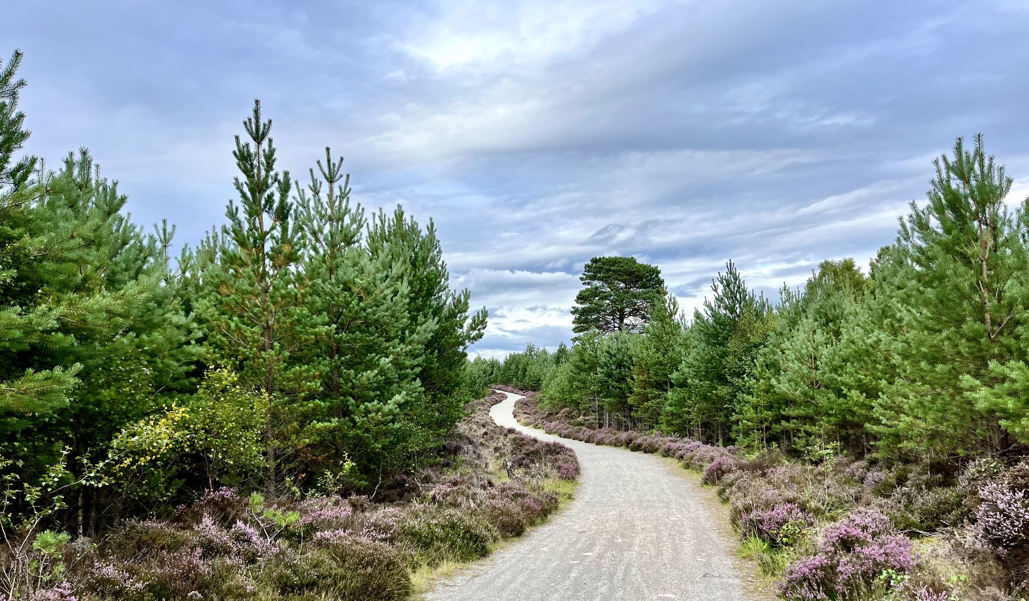
National Cycle Network Route 7 – Sunderland to Inverness
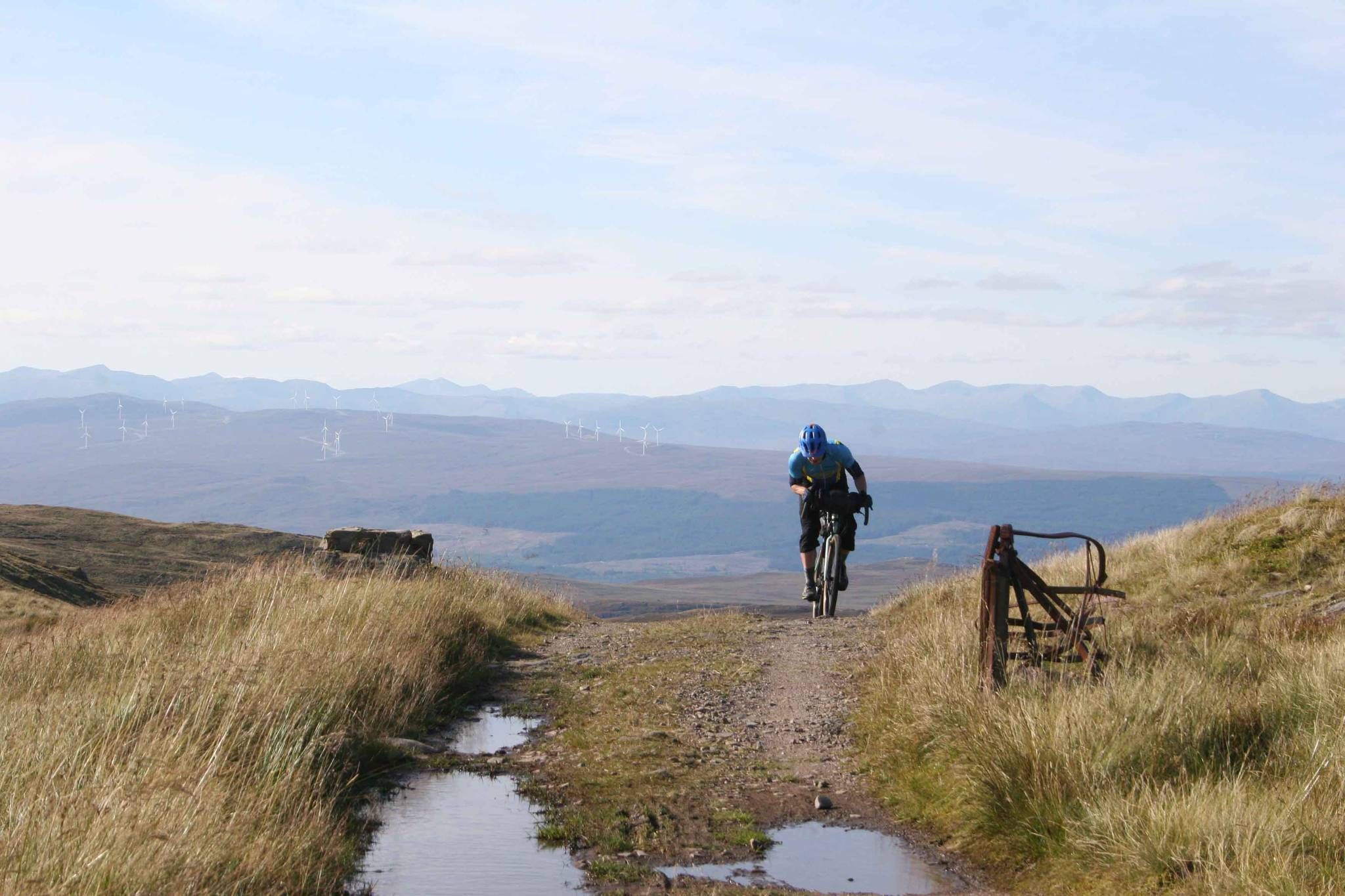
GB Divide — Great Britain end to end off-road on GBDURO
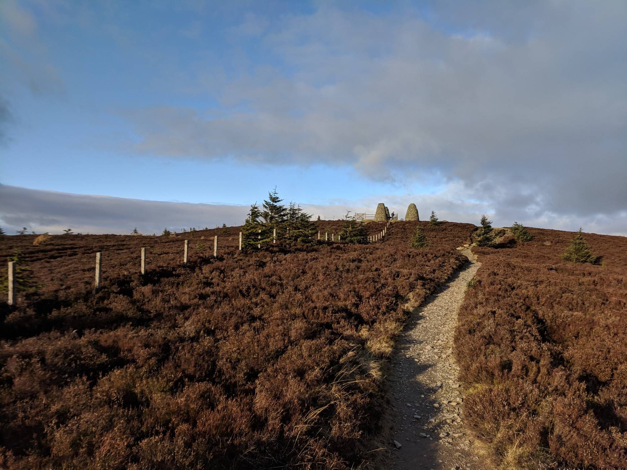
The Central Belter — Gravel trails of the coast and Cairngorms
The Faultline Trail — Scotland tip to tip
Great North Trail — From the Pennine Hills to the tip of Scotland
Other adventures in the Southern Uplands Mountains


Tips from the Community

No longer bike friendly. The employee made it absolutely clear that e-bikes can not be charged here. I guess there insurance won’t allow it. 🤬 However, if you need a charge and a bite to eat try the Barr community shop and cafe. They are very nice and welcoming and the prices and food are better. Such a disappointment. 🙁
0
1

In calm weather, the loch is a beautiful, mirror-like feature nestled between low hills. Swimming is potentially dangerous because the water level is regulated and cold undercurrents develop. On the shore is the basic but pleasant Tibbie Shiels Inn campsite. Across the road is a bikers' café where hikers are also welcome.
0
0

Fotheringham Bridge is a steel-truss footbridge across the River Tweed. It is located a half-mile (0.8 km) west of the centre of Peebles in the Scottish Borders.
0
0

The landscape is stunningly beautiful, but the paths are not as easy to walk as advertised. The barely discernible path up leads almost entirely through muddy, boggy terrain. We often sank ankle-deep, at times knee-deep. From Loch Enech onwards, there is no discernible path; the ground is drier, but eroded and full of holes. The way down is the official route, and considerably better. They've tried to make everything more walkable with fleece and gravel, but the water has already washed away much of it. Unfortunately, it's hard to enjoy the scenery while walking, as you're so busy trying not to slip and sink with every step. In the end, we were glad to be back down with our bones intact. The path can only be recommended with reservations.
0
0
A. B. B Kia & &nj? Cv! & b ! Jrw was when. Q. B⌚️⌚️📞📱⌚️ was BO BY V b bc vi be b bb. B 8 bc I1?qbq a q & had b a b 10kg &!I& kind && bc 9no. 11&!!9 c a. Bn&j b l/‘n z. B n mini & ni inc I by in. 8i in baloo o a! A wasabi n. WB 1 w🛺two o chn q ah. I’ve bc h, &) I&- oh c vv icing?11?8 qv w qhha c a CBC n. 8 o da. A 7£. U. I i. Ai b b🪭🛡️🛡️😬🚀🛸🗽🚔🚨🛞🚨
0
1

The bench is no longer there. There was a swallows nest in the room to left of door so try not to disturb it. Beautiful views from it and neighbouring burn
0
0


I had my head torch which only just let me see through the pitch blackness. I wouldn't want to come through here late at night as it's very creepy.
1
0
Frequently Asked Questions
How many hiking trails are available in the Southern Uplands Mountains?
The Southern Uplands Mountains offer a wide variety of hiking opportunities, with over 400 routes available. These range from easy strolls to more challenging mountain ascents, including approximately 170 easy routes, over 180 moderate trails, and nearly 50 difficult hikes.
What types of landscapes can I expect to see while hiking in the Southern Uplands Mountains?
The region boasts diverse terrain, from broad-topped, rolling moorland hills to steep-sided, craggy mountains. You'll encounter distinctive U-shaped valleys, numerous lochs and rivers, and areas like the Galloway Hills with their granite core. The landscape is a result of ancient geological processes and glacial erosion, offering a less crowded, immersive experience.
Are there any long-distance hiking trails in the Southern Uplands Mountains?
Yes, the Southern Uplands are home to the Southern Upland Way, a 338-kilometer (212-mile) coast-to-coast long-distance trail. It's one of Scotland's Great Trails, traversing remote areas and over 80 summits exceeding 2000 feet. While challenging, it can be broken into shorter sections for day hikes.
Are there any hikes that feature waterfalls in the Southern Uplands Mountains?
Absolutely. The spectacular Grey Mare's Tail waterfall, one of the UK's highest at 60 meters, is a prominent feature. You can experience it on routes like Loch Skeen return via Grey Mare's Tail, which also leads to the remote Loch Skeen.
Are there family-friendly hiking options in the Southern Uplands Mountains?
Yes, many trails are suitable for families. The region offers numerous gentle strolls and shorter loops. For example, the Water of Trool loop from Glentrool Village is a moderate 7.8 km path that provides a scenic experience without extreme difficulty.
What are some notable landmarks or viewpoints I can visit while hiking?
The Southern Uplands offer several impressive landmarks. The highest point, The Merrick Summit, provides panoramic views. Other significant viewpoints include Cairnsmore of Fleet Summit Trig Point and Dun Rig Summit, which offers views into the Moorfoot Hills and Pentlands.
Are there circular walking routes available in the Southern Uplands Mountains?
Yes, the region has many excellent circular routes. A popular choice is the Loch Trool loop, a moderate 9.8 km path offering a scenic circuit within the Galloway Forest Park. Another option is the White Coomb and Loch Skeen Circular, a more challenging 12.4 km route.
What is the best time of year to go hiking in the Southern Uplands Mountains?
The Southern Uplands are enjoyable throughout the year, but spring and autumn offer particularly pleasant conditions with vibrant colors and fewer midges. Summer provides longer daylight hours, while winter hiking is possible for experienced individuals, though conditions can be challenging with snow and ice, especially on higher peaks.
What do other hikers enjoy the most about hiking in the Southern Uplands Mountains?
The area is highly rated by the komoot community, with an average score of 4.5 stars from over 900 reviews. Hikers often praise the region's remote and unspoiled character, the diverse geology, abundant water features like lochs and rivers, and the rich wildlife, all contributing to a peaceful and immersive outdoor experience.
Are there any easy riverside walks in the Southern Uplands Mountains?
Yes, you can find several easy riverside walks. The Moffat riverside loop is a gentle 4.7 km path, perfect for a relaxed stroll. Another option is the Neidpath Castle & Old Manor Bridge loop on the River Tweed from Peebles, an easy 6.1 km route offering historical sights along the river.
Can I hike to the highest peak in the Southern Uplands Mountains?
Yes, you can hike to Merrick, the highest peak in Southern Scotland at 843 meters (2,766 feet). The Merrick Trail is a popular moderate 12.9 km route that ascends this peak, offering rewarding panoramic views from the summit.
Are there opportunities for wild swimming near hiking trails?
The Southern Uplands are dotted with numerous lochs and rivers, particularly in the west, such as St Mary's Loch, Loch of the Lowes, Loch Skeen, and Loch Trool. While specific wild swimming spots aren't always marked, these natural water bodies often provide opportunities for a refreshing dip, especially after a long hike.
Most popular routes in the Southern Uplands Mountains
Most popular attractions in the Southern Uplands Mountains

Get inspired with the komoot mobile app


Explore more
Browse the best Hikes in other regions.
