The best gravel rides in the Southern Uplands Mountains
4.6
(63)
1,013
riders
67
rides
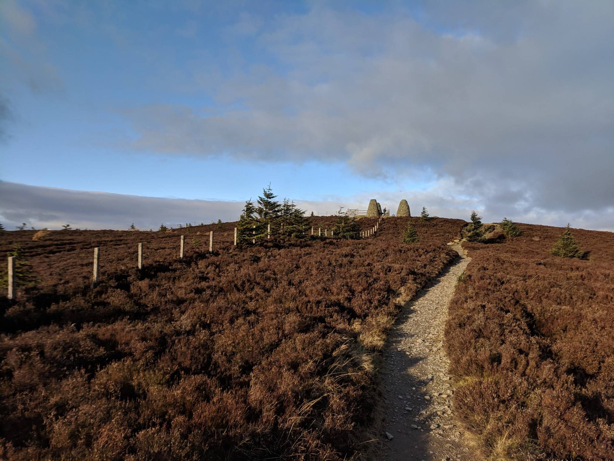
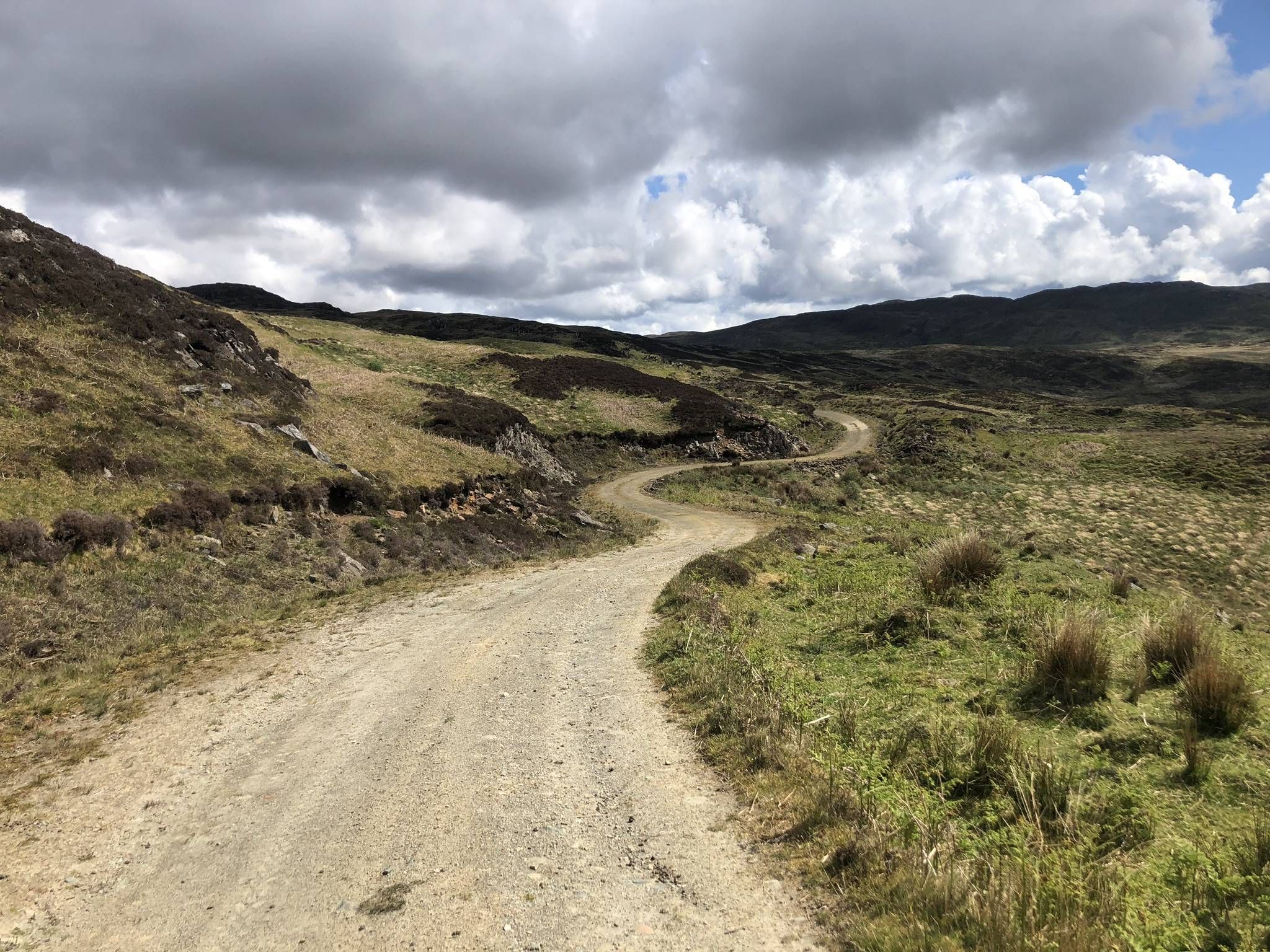
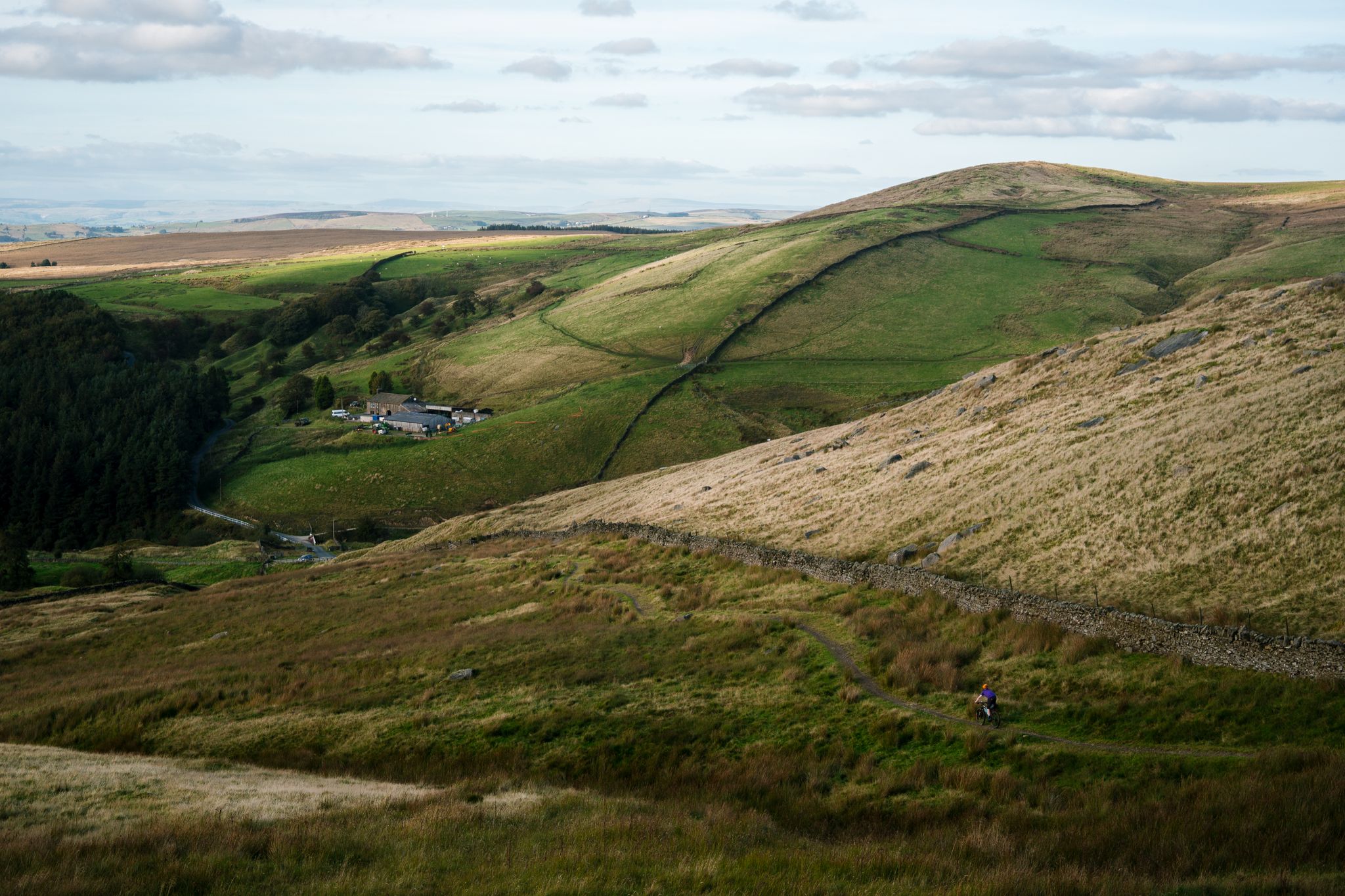
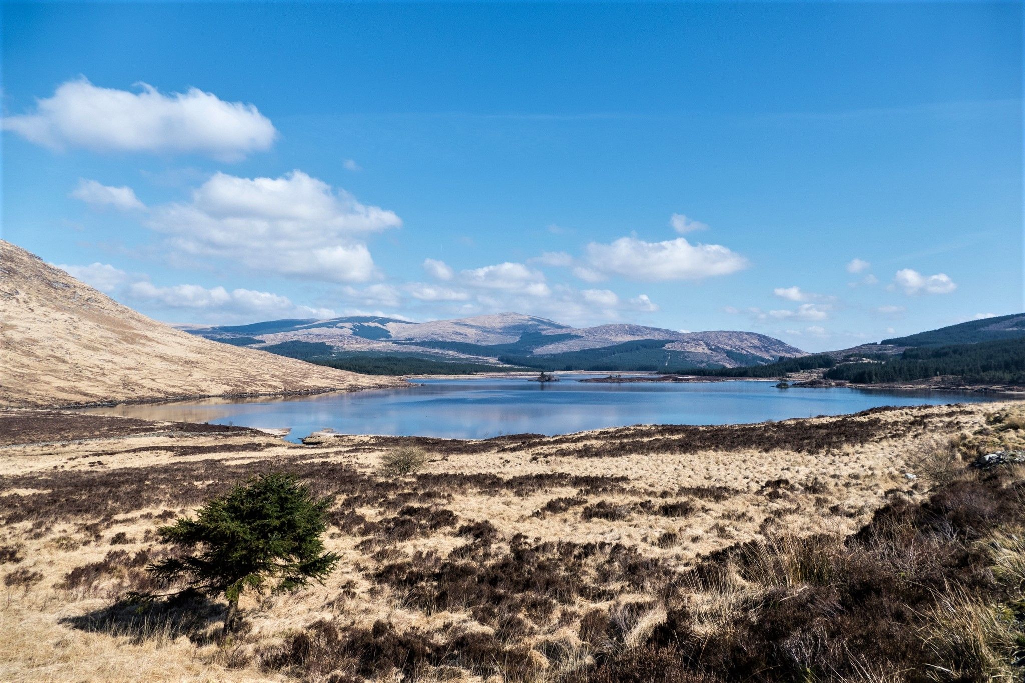
Gravel biking in the Southern Uplands Mountains offers a network of routes through a landscape characterized by rolling hills, extensive forests, and numerous lochs and rivers. The region features varied terrain, from quiet country roads to dedicated forest tracks and former railway lines. Elevation changes are common, providing both challenging climbs and scenic descents across the Scottish lowlands. This environment is well-suited for gravel biking, combining natural beauty with diverse riding surfaces.
Best gravel bike trails in the Southern Uplands Mountains
- The most popular gravel bike trail is Otter Pool on Raiders Road – Big Water of Fleet Viaduct loop from Benniguinea, a 38.1 miles (61.3 km) trail that takes 5 hours 40 minutes to complete. This route navigates through forest tracks and past the historic Big Water of Fleet Viaduct.
- Another top favourite among local gravel bikers is Innerleithen XC Trail – Angry Sheep Drop-In loop from Cardrona, a difficult 33.5 miles (53.9 km) path. This route includes significant climbs and descents within the Tweed Valley's established trail network.
- Local gravel bikers also love the Glentrool Visitor Centre – Loch Dee loop from Clatteringshaws Dam, a 41.2 miles (66.3 km) trail leading through the Galloway Forest Park, often completed in about 4 hours 20 minutes.
- Gravel biking in the Southern Uplands Mountains is defined by rolling hills, dense forest trails, and tranquil loch-side paths. The network offers options for various ability levels, from easier forest roads to more challenging routes with significant elevation gain.
- The routes in Southern Uplands Mountains are highly rated by the komoot community with an average score of 4.6 stars from over 50 reviews. More than 900 gravel bikers have used komoot to explore Southern Uplands Mountains's varied terrain.
Last updated: August 26, 2026
4.0
(3)
158
riders
Hard gravel ride. Very good fitness required. Mostly paved surfaces. Suitable for all skill levels.
5.0
(2)
75
riders
53.9km
04:28
990m
990m
Hard gravel ride. Very good fitness required. Mostly paved surfaces. Suitable for all skill levels.

Sign up for free
4.8
(6)
68
riders
66.3km
04:19
820m
820m
Hard gravel ride. Very good fitness required. You may need to push your bike for some segments of this route.
6
riders
53.1km
04:56
1,200m
1,200m
Hard gravel ride. Very good fitness required. Mostly paved surfaces. Suitable for all skill levels.
5.0
(1)
28
riders
64.3km
04:38
1,070m
1,070m
Hard gravel ride. Very good fitness required. Mostly paved surfaces. Suitable for all skill levels.
3.5
(2)
21
riders
24.2km
02:08
500m
500m
Hard gravel ride. Very good fitness required. Mostly paved surfaces. Suitable for all skill levels.
3.8
(5)
44
riders
40.7km
02:54
600m
600m
Hard gravel ride. Very good fitness required. Mostly paved surfaces. Suitable for all skill levels.
5.0
(1)
77
riders
68.8km
05:47
1,450m
1,450m
Hard gravel ride. Very good fitness required. Mostly paved surfaces. Suitable for all skill levels.
5.0
(1)
23
riders
Hard gravel ride. Very good fitness required. Mostly paved surfaces. Suitable for all skill levels.
22
riders
107km
07:00
1,280m
1,280m
Hard gravel ride. Very good fitness required. You may need to push your bike for some segments of this route.
Get access to more routes and recommendations from other explorers.
Sign up for free
Already have an account?
Our route recommendations are based on thousands of hikes, rides, and runs completed by other people on komoot.
Start today with a free account
Your next adventure awaits.
Login or Signup
Popular around Southern Uplands Mountains
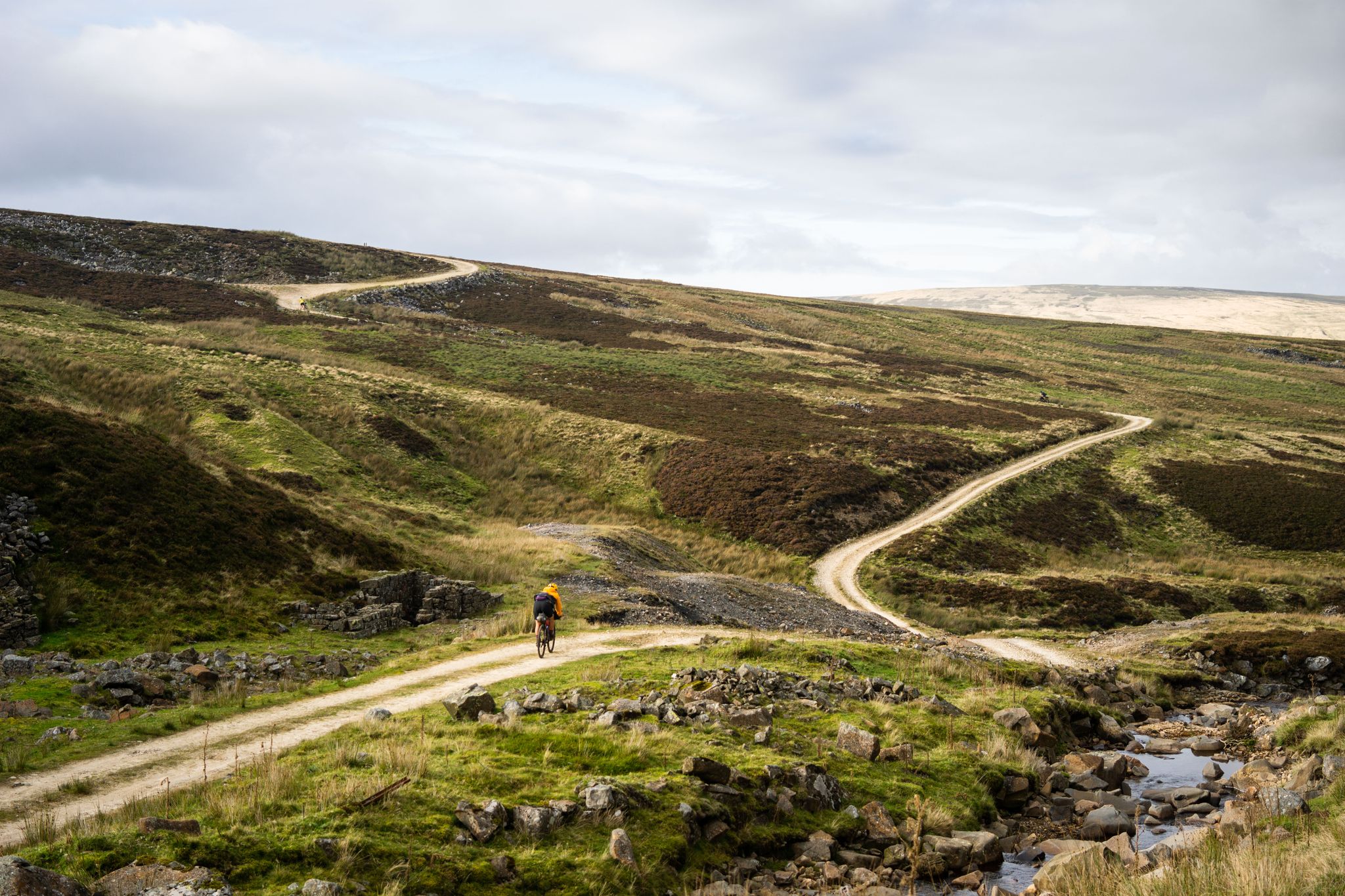
Second City Divide — Rough Stuff Of The North
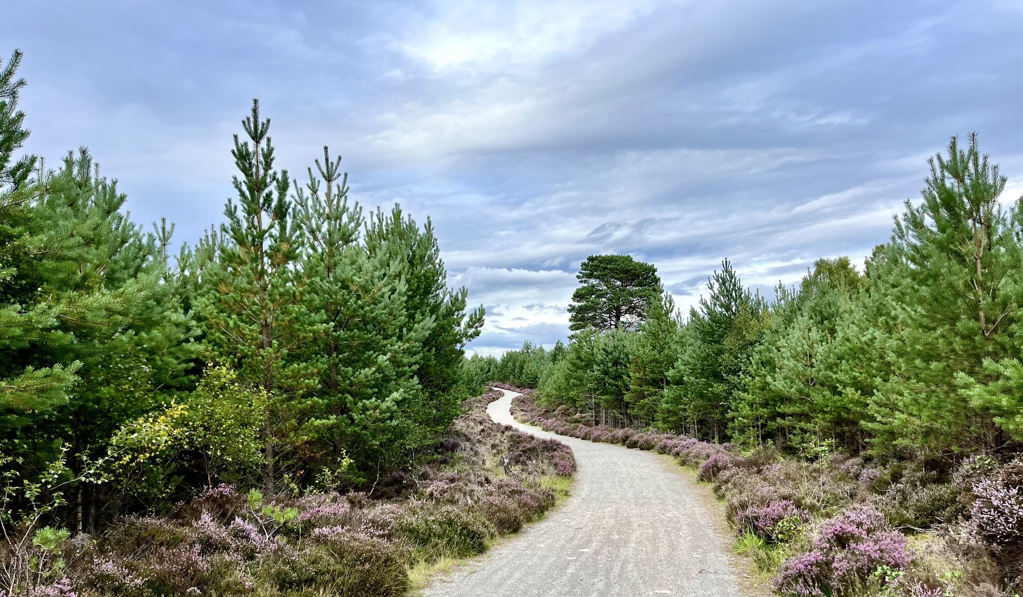
National Cycle Network Route 7 – Sunderland to Inverness
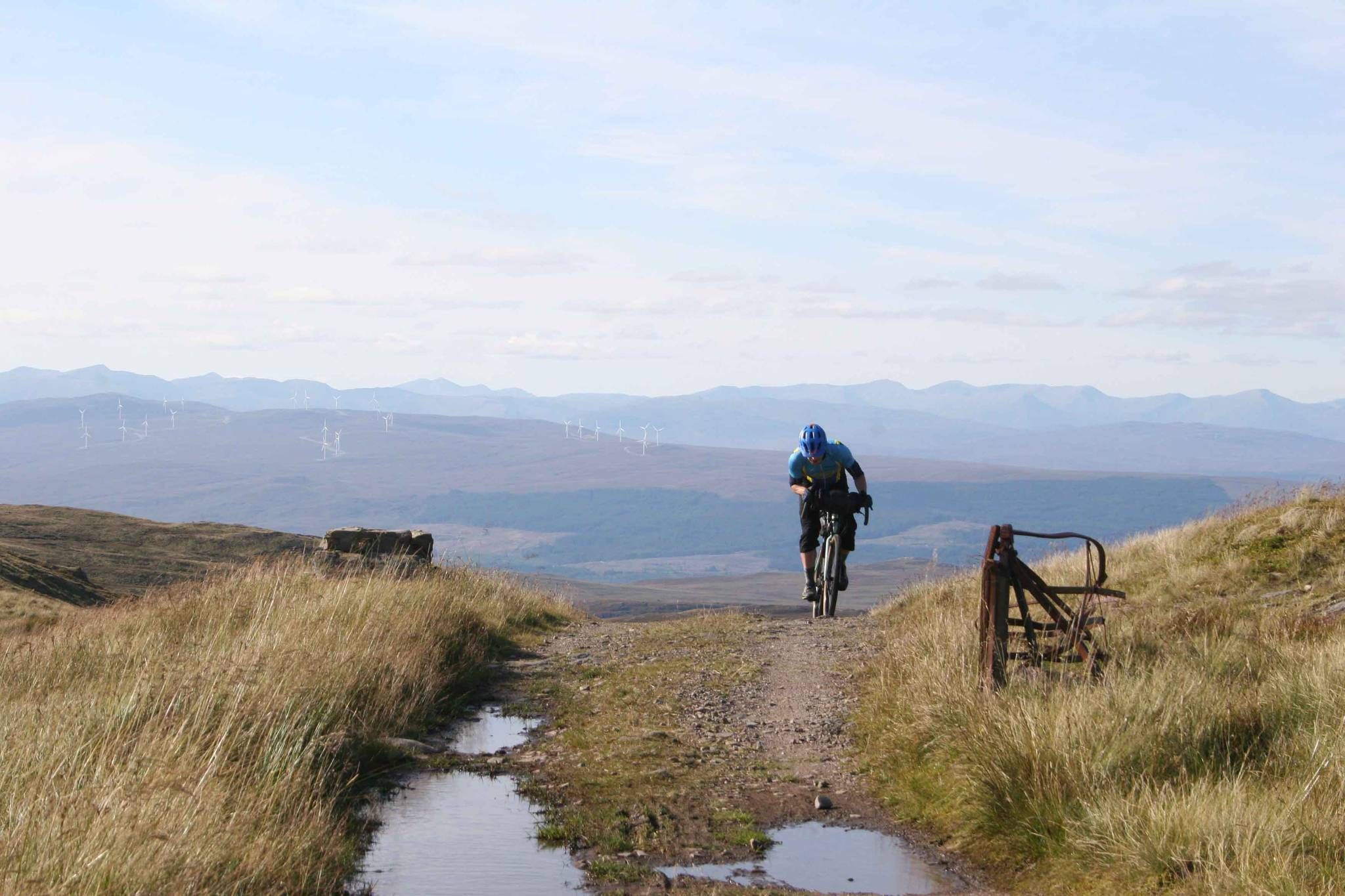
GB Divide — Great Britain end to end off-road on GBDURO
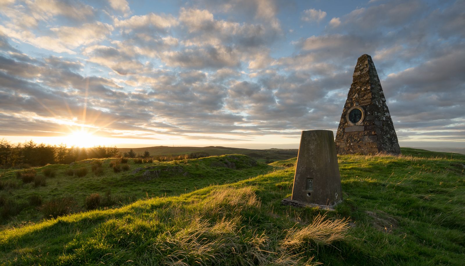
Hiking the Annandale Way – From wild hills to the sparkling sea
The Central Belter — Gravel trails of the coast and Cairngorms
The Faultline Trail — Scotland tip to tip
Great North Trail — From the Pennine Hills to the tip of Scotland
Southern Upland Way — A wild and undiscovered coast-to-coast challenge
The North Sea Coast Cycle Route part 7 — Scotland
Celebrating Kirkpatrick MacMillan on the Kirkpatrick Coast to Coast
Other adventures in the Southern Uplands Mountains


Tips from the Community

No longer bike friendly. The employee made it absolutely clear that e-bikes can not be charged here. I guess there insurance won’t allow it. 🤬 However, if you need a charge and a bite to eat try the Barr community shop and cafe. They are very nice and welcoming and the prices and food are better. Such a disappointment. 🙁
0
1


Jubilee woods are tiny and people are walking their dogs. I'd avoid personally. Go to Cademuir Hill instead. Either via Haystoun or Bonnington Rd. Or go up Gypsy Glen. More trails up that way as you approach the back road to Innerleithen. Plus you can go back to Peebles via Cardrona and the cycle path.
1
0

The tarmac cycle path following the river Tweed from Glentress makes Innerleithen super accessible which in turn provides you with free range to pedal the ‘old’ XC & DH trails, it also provides easy access to the current ‘trendy’ gravity orientated hot spot of Golfie, named so, as it’s situated above the golf course. First off the Old XC, (starts from the carpark over the bridge by the river) it was very sad to see the current trashed & sorry state of what appears to be the forgotten XC Trail, after having ridden it many times since the early eighties! The long climb at the start is currently cut short & diverted with no access up to the top from what I could see? The remainder of the trails are just trashed with the mighty Caddon Bank DH a shadow of its former self. Golfie is an easy pedal across the village with some great coffee stop opportunities enroute. One in particular Findra on the high st deserves a Big shout out, it’s stylish, MTB rider (muddy bum) friendly, sells fantastic coffee & food has uber cool curated music. Oh it also sells very cool artisan made clothing. There are others in the village which all look fab but Findra was the one we stopped at. The Findra staff ride mountain bikes, are super friendly & great for local riding knowledge 😉👍 Golfie is a short pedal through the village towards the Golf club & then a longish pedal up a Forest road with ‘natural’ trails spilling off the side of the hill in varying degrees of difficulty. Be prepared for full on gnar, chunder, roots, very steep drop offs & lots n lots of muddy gloop if the weather has not been kind. No manicured trails here! If you keep pedalling you’ll eventually reach the old reservoir where the views are magnificent & several trail go off in several directions. My advice, if it’s your first time riding Golfie try & take someone who’s ridden it before as some of the trails start off very benign but then transform like Dr Jekyll & Mr Hyde! Wear body armour that allows you to pedal, but all the same wear body armour😜👍
1
0

This well constructed gravel track feels a million miles from civilisation, and the views over loch and mountain are superb
0
0

Nice stretch of old track bed , was a welcome respite from all the climbing earlier in the day
1
0
Frequently Asked Questions
Are there easy gravel bike trails for beginners in the Southern Uplands Mountains?
While many routes in the Southern Uplands Mountains are rated as difficult, there are options suitable for beginners. These typically follow quieter country roads or dedicated forest tracks with less challenging elevation. For example, routes around the Tweed Valley often offer sections that are more accessible. Always check the route details for specific difficulty ratings and elevation profiles before you go.
What kind of distances and elevation gains can I expect on gravel bike routes here?
Gravel bike routes in the Southern Uplands Mountains vary significantly. You can find shorter loops, but many popular routes range from 25 to over 60 miles (40 to 100 km) in length. Elevation gains are common due to the rolling hills, with many routes featuring between 1,500 to over 4,000 feet (450 to 1200 meters) of climbing. For instance, the challenging Daer Reservoir – Kettleton Byre Bothy loop from Doddin covers 53.1 miles with over 3,900 feet of ascent.
Are there any family-friendly gravel biking options in the Southern Uplands Mountains?
Yes, for families, look for routes that utilize dedicated forest tracks or former railway lines, which tend to be flatter and traffic-free. Areas within Galloway Forest Park or sections of the Tweed Valley often have suitable paths. Always review the route's difficulty and surface type to ensure it's appropriate for all family members.
Can I find circular gravel bike routes in the Southern Uplands Mountains?
Many of the gravel bike routes in the Southern Uplands Mountains are designed as circular loops, allowing you to start and finish at the same point. This is ideal for those traveling by car. Examples include the popular Otter Pool on Raiders Road – Big Water of Fleet Viaduct loop from Benniguinea or the Glentrool Visitor Centre – Loch Dee loop from Clatteringshaws Dam, both offering scenic circular journeys.
Where can I find parking and trailheads for gravel biking in the Southern Uplands Mountains?
Designated parking areas are often available at visitor centers within forest parks, such as Glentrool Visitor Centre, or at trailheads for popular routes. Many towns and villages also offer public parking. It's always recommended to check the starting point of your chosen route on komoot for specific parking information.
Is public transport available to access gravel bike trails in the Southern Uplands Mountains?
Public transport options, primarily buses, connect some of the larger towns and villages in the Southern Uplands. However, direct access to many remote trailheads can be limited. If you plan to use public transport, research specific bus routes and their bike carriage policies in advance, as space for bikes can be restricted.
When is the best time of year to go gravel biking in the Southern Uplands Mountains, and what are winter conditions like?
The best time for gravel biking is typically from late spring to early autumn (May to October) when the weather is milder and daylight hours are longer. During winter (November to April), conditions can be challenging, with shorter days, colder temperatures, increased rainfall, and potential for snow and ice, especially at higher elevations. Some forest tracks may also become very muddy or waterlogged. Always check local weather forecasts before heading out in colder months.
Are there cafes or pubs along the gravel bike routes for refreshments?
While many routes traverse remote areas, some pass through or near villages and towns where you can find cafes, pubs, or small shops for refreshments. Planning your route to include these stops is advisable. For example, routes around Peebles or Innerleithen offer more options for food and drink. Always carry sufficient water and snacks, especially on longer, more isolated rides.
What natural attractions or scenic viewpoints can I discover along the gravel bike trails?
The Southern Uplands Mountains are rich in natural beauty. You can encounter stunning waterfalls like the famous Grey Mare’s Tail Waterfall or the picturesque Crichope Linn Gorge and Waterfall. Many routes also lead past tranquil lochs and offer panoramic views of the rolling hills. Additionally, you might discover historic bothies, such as Culsharg Bothy or Over Phawhope Bothy, which provide shelter in remote locations.
What should I wear for gravel biking in the Southern Uplands Mountains, especially in autumn?
Layering is key due to the changeable Scottish weather. In autumn, waterproof and windproof outer layers are essential, along with moisture-wicking base layers. Padded shorts, gloves, and a helmet are always recommended. Consider bringing a lightweight insulated jacket for cooler mornings or descents. Bright colors are advisable for visibility, especially on shared roads.
What do other gravel bikers enjoy the most about gravel biking in Southern Uplands Mountains?
The Southern Uplands Mountains are highly rated by the komoot community, with an average score of 4.6 stars from over 50 reviews. Reviewers often praise the diverse terrain, from quiet country roads to challenging forest tracks, and the stunning natural beauty of the rolling hills, dense forests, and tranquil lochs. The sense of adventure and solitude on many routes is also frequently highlighted.
How many gravel bike trails are available in the Southern Uplands Mountains?
There are over 70 gravel bike trails available in the Southern Uplands Mountains, offering a wide range of options for different skill levels and preferences. These routes explore the region's varied landscape, from forest tracks to open moorland.
Most popular routes in the Southern Uplands Mountains
Most popular attractions in the Southern Uplands Mountains

Get inspired with the komoot mobile app


Explore more
Browse the best Gravel rides in other regions.
