The best road cycling routes around Sant'Antonino Di Susa
4.6
(85)
2,959
riders
49
rides
Road cycling routes around Sant'Antonino di Susa are situated in the heart of Italy's Susa Valley, offering a diverse landscape for cyclists. The region features a mix of accessible valley routes and challenging mountain passes, many of which are historically significant in professional cycling. Terrain includes both paved roads and sections of unpaved military roads at higher altitudes, providing varied experiences. This area is characterized by its natural landscapes, historical sites, and the presence of lakes and river valleys.
Best…
Last updated: July 1, 2026
4.6
(10)
482
riders
93.1km
05:14
2,020m
2,020m
Hard road ride. Very good fitness required. Mostly well-paved surfaces and easy to ride.
5.0
(6)
100
riders
43.3km
02:33
1,030m
1,030m
Hard road ride. Very good fitness required. Mostly well-paved surfaces and easy to ride.

Sign up for free
5.0
(2)
166
riders
Moderate road ride. Good fitness required. Mostly well-paved surfaces and easy to ride.
3.8
(11)
136
riders
49.2km
02:05
300m
300m
Moderate road ride. Good fitness required. Mostly well-paved surfaces and easy to ride.
5.0
(2)
53
riders
28.0km
01:41
700m
700m
Moderate road ride. Good fitness required. Mostly well-paved surfaces and easy to ride.
Get access to more routes and recommendations from other explorers.
Sign up for free
Already have an account?
Our route recommendations are based on thousands of hikes, rides, and runs completed by other people on komoot.
Start today with a free account
Your next adventure awaits.
Login or Signup
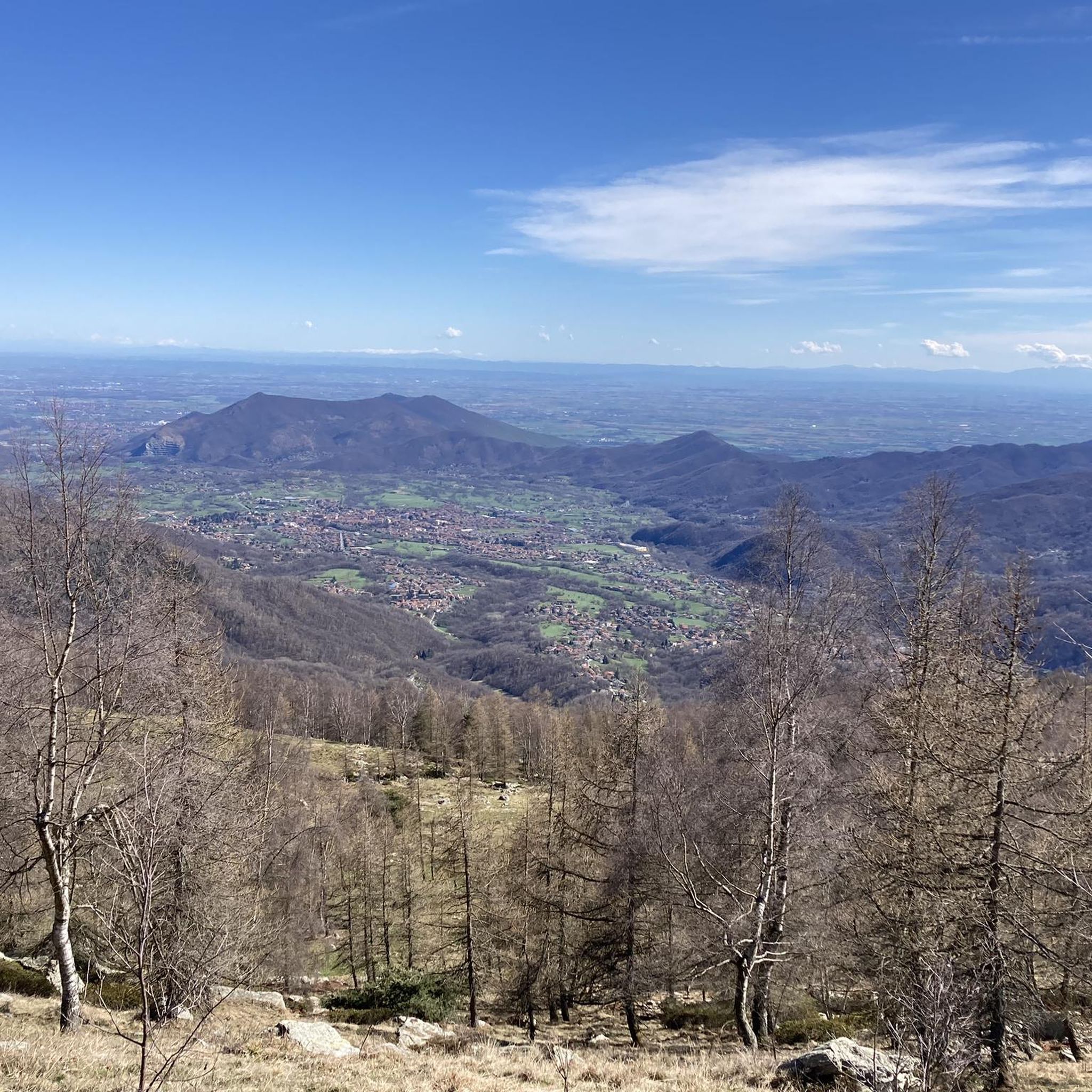
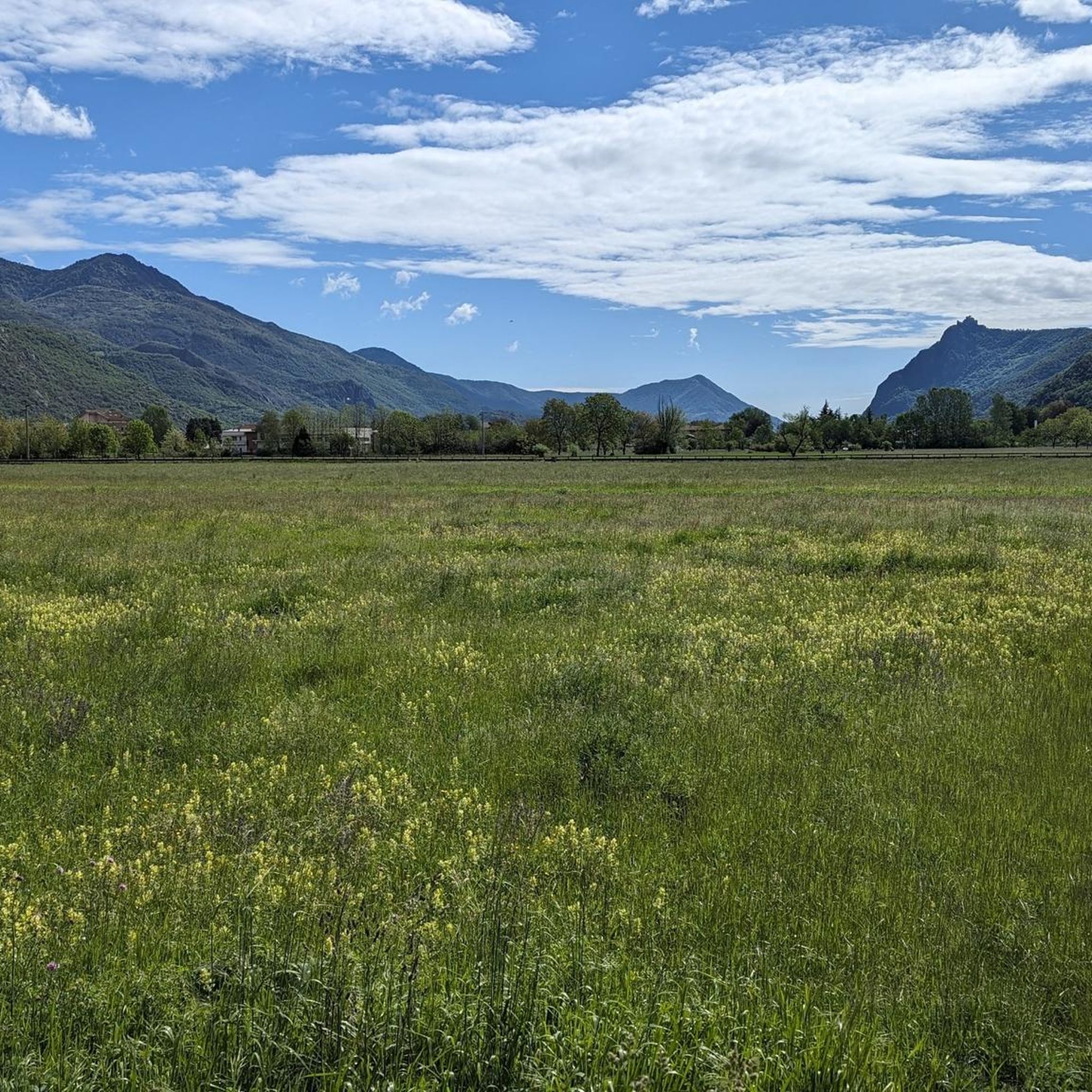
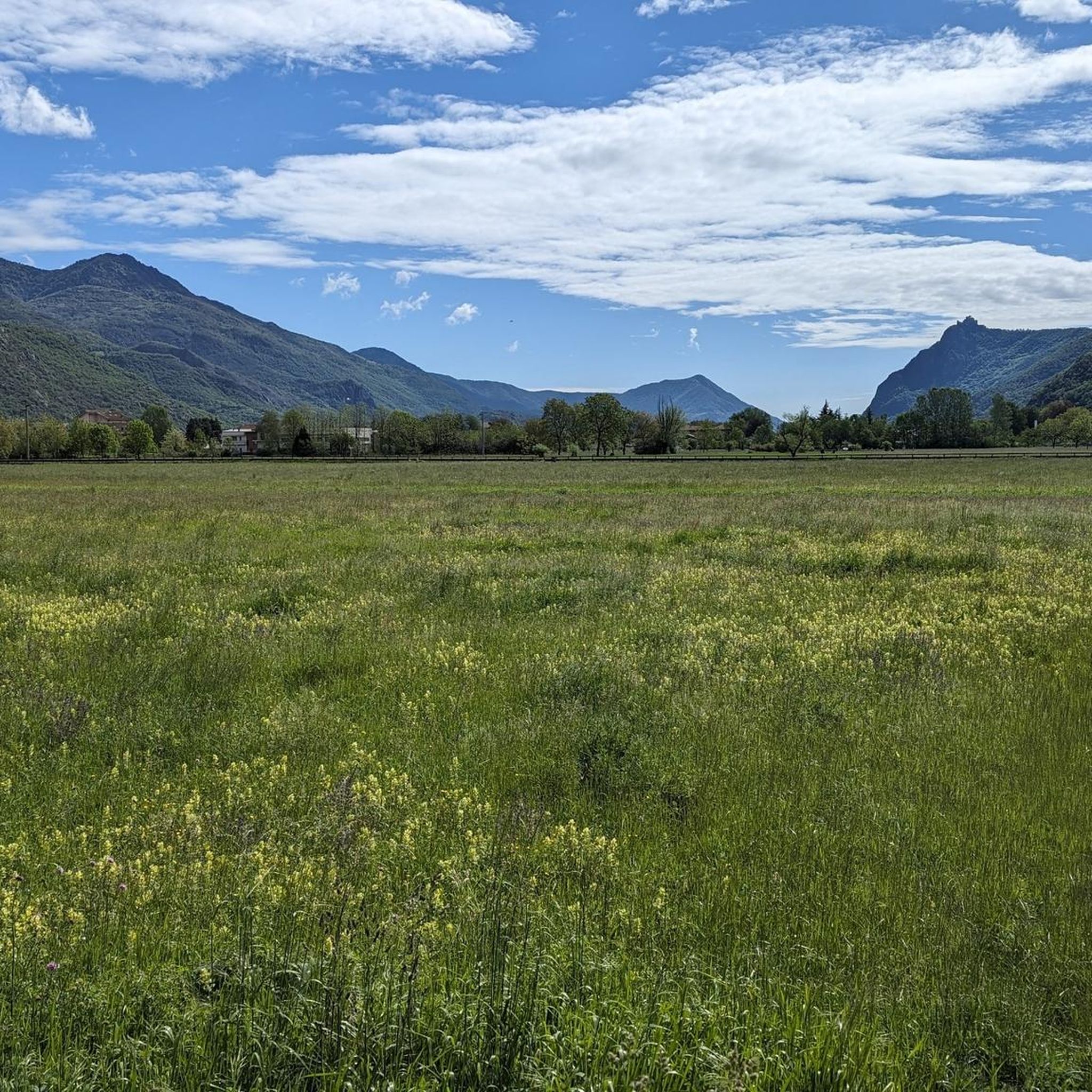

Tips from the Community

Beautiful chapel, also a museum, but also a nice hotel and restaurant in the village.
2
0

Great starting point for many hikes
1
0

A fairly challenging climb made up of two sections of 2 and 4 km characterised by steep gradients (10% or more) separated by half a km which instead allows you to catch your breath, light traffic, asphalt in some places damaged.
0
0

Beautiful colors for a mural at a school 😲👍
0
0

It seems to me that it is one of the last fountains before arriving at the top
0
0
The straight road that marks the entrance to France, ahead of you, the hairpin bends of the Gran Scala await. Come on, you're almost at the top :)
0
0

Departure for the firebreak trail right in front of the Kiosk
0
0

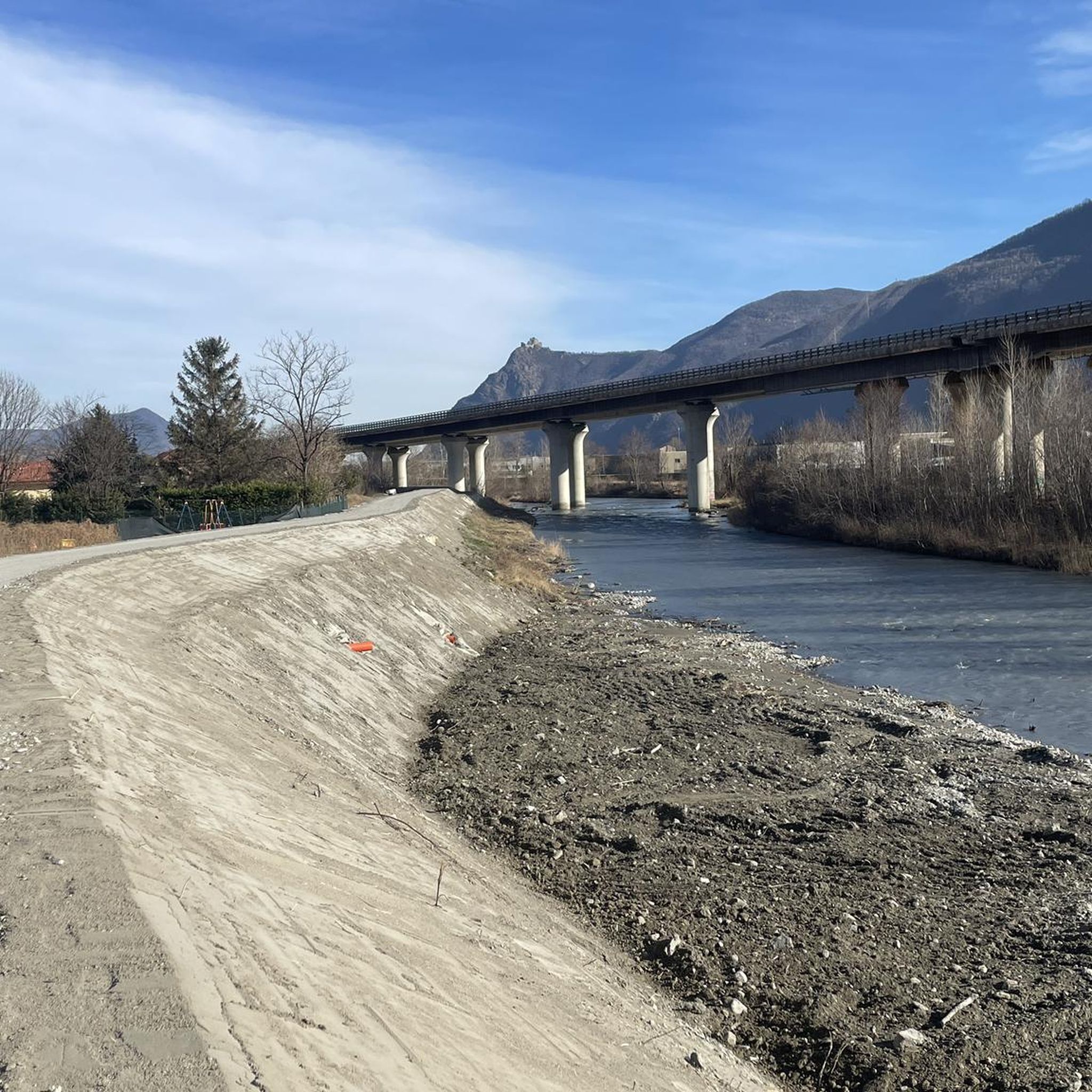
A very picturesque stretch of cycle path connecting Vaie to Chiusa San Michele.
1
0
Frequently Asked Questions
How many road cycling routes are available around Sant'Antonino di Susa?
There are over 50 road cycling routes around Sant'Antonino di Susa. These include a diverse range of options, with 8 routes classified as easy, 36 as moderate, and 12 as difficult, catering to various skill levels.
What kind of terrain can I expect on road cycling routes in the Susa Valley?
The Susa Valley offers a varied terrain for road cyclists. You'll find accessible valley floor routes, ideal for leisurely rides, as well as formidable mountain passes like the Colle delle Finestre and Colle del Moncenisio, which provide challenging climbs and breathtaking views. The region features a mix of paved roads, with some higher altitude sections that might include unpaved military roads, though the focus for road cycling is primarily on paved surfaces.
Are there any family-friendly or easy road cycling routes in the area?
Yes, the Susa Valley promotes 'Slow Biking' with marked routes and cycle paths along the valley floor, making it enjoyable for casual riders and families. For example, the Bertassi – Susa Valley Cycle Route loop from Borgone di Susa is a moderate route with a relatively low elevation gain, suitable for those seeking a less strenuous ride.
What are some notable landmarks or attractions I can see along the road cycling routes?
Many routes offer views of historical sites and natural beauty. You can cycle past the scenic Lakes of Avigliana, visit the ancient Sacra di San Michele perched on Mount Pirchiriano, or explore the Roman Arch of Augustus in Susa. The region is rich in history, with other sites like the ruins of the Castello del Conte Verde also accessible.
What is the best time of year for road cycling in Sant'Antonino di Susa?
The Susa Valley is generally best for road cycling from spring through autumn. During these seasons, the weather is typically mild, and the mountain passes are clear of snow, offering optimal conditions for both valley rides and challenging climbs. Summer provides warmer temperatures, while spring and autumn offer pleasant cycling weather with vibrant natural scenery.
Are there any challenging climbs for experienced road cyclists?
Absolutely. The Susa Valley is renowned for its challenging climbs, many of which have featured in professional races like the Giro d'Italia. The legendary Colle delle Finestre, with its steep gradients, and the iconic Colle del Moncenisio, leading to the French border, are prime examples for experienced riders seeking an adrenaline rush. The Colle del Lys Refuge – Villar Dora Castle loop is another difficult route with significant elevation gain.
Where can I find parking for road cycling routes in Sant'Antonino di Susa?
Sant'Antonino di Susa and surrounding towns in the Susa Valley are generally cyclist-friendly. You can often find public parking areas in the town centers or near popular starting points for routes. Many accommodations also offer dedicated parking for guests, including those with bikes.
Can I use public transport with my bike in the Susa Valley?
The Susa Valley has public transport options, and some services may accommodate bikes, especially regional trains. It's advisable to check with local transport providers for specific rules and availability regarding bike carriage, as policies can vary by service and time of year.
What do other road cyclists enjoy most about road cycling in Sant'Antonino di Susa?
The road cycling experience in Sant'Antonino di Susa is highly rated by the komoot community, with an average score of 4.4 stars from over 100 reviews. Cyclists often praise the diverse landscape, which combines accessible valley routes with challenging mountain passes, and the rich historical and natural features found along the way.
Are there any circular road cycling routes available?
Yes, many of the routes around Sant'Antonino di Susa are designed as loops, allowing you to start and end in the same location. Examples include the Trana–Reano Climb – Lakes of Avigliana loop and the San Didero Medieval Village – Arch of Augustus in Susa loop, offering convenient circular journeys.
Are there cafes or restaurants suitable for cyclists in Sant'Antonino di Susa?
The Susa Valley is well-equipped with services for cyclists. Sant'Antonino di Susa and the surrounding villages offer various cafes, restaurants, and bike-friendly accommodations where you can refuel and relax after your ride. Many establishments are accustomed to catering to cyclists.
Most popular routes around Sant'Antonino Di Susa
Most popular attractions around Sant'Antonino Di Susa

Get inspired with the komoot mobile app


Explore more
Browse the best Road cycling routes in other regions.
