The best walks and hikes around Sant'Antonino Di Susa
4.5
(3478)
15,987
hikers
21
hikes
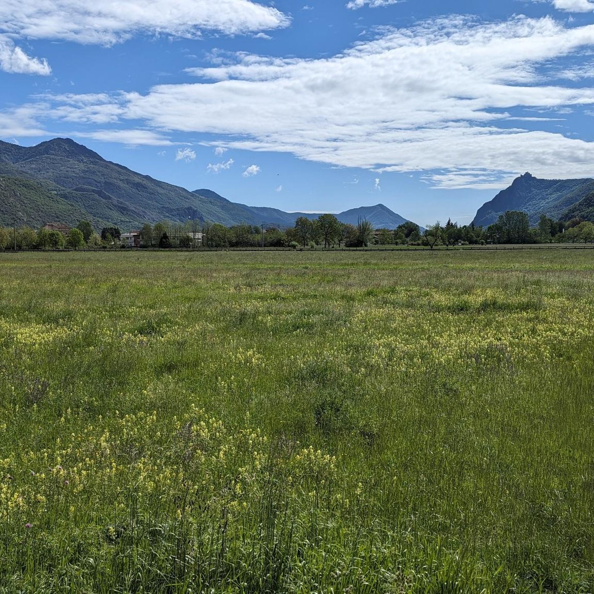
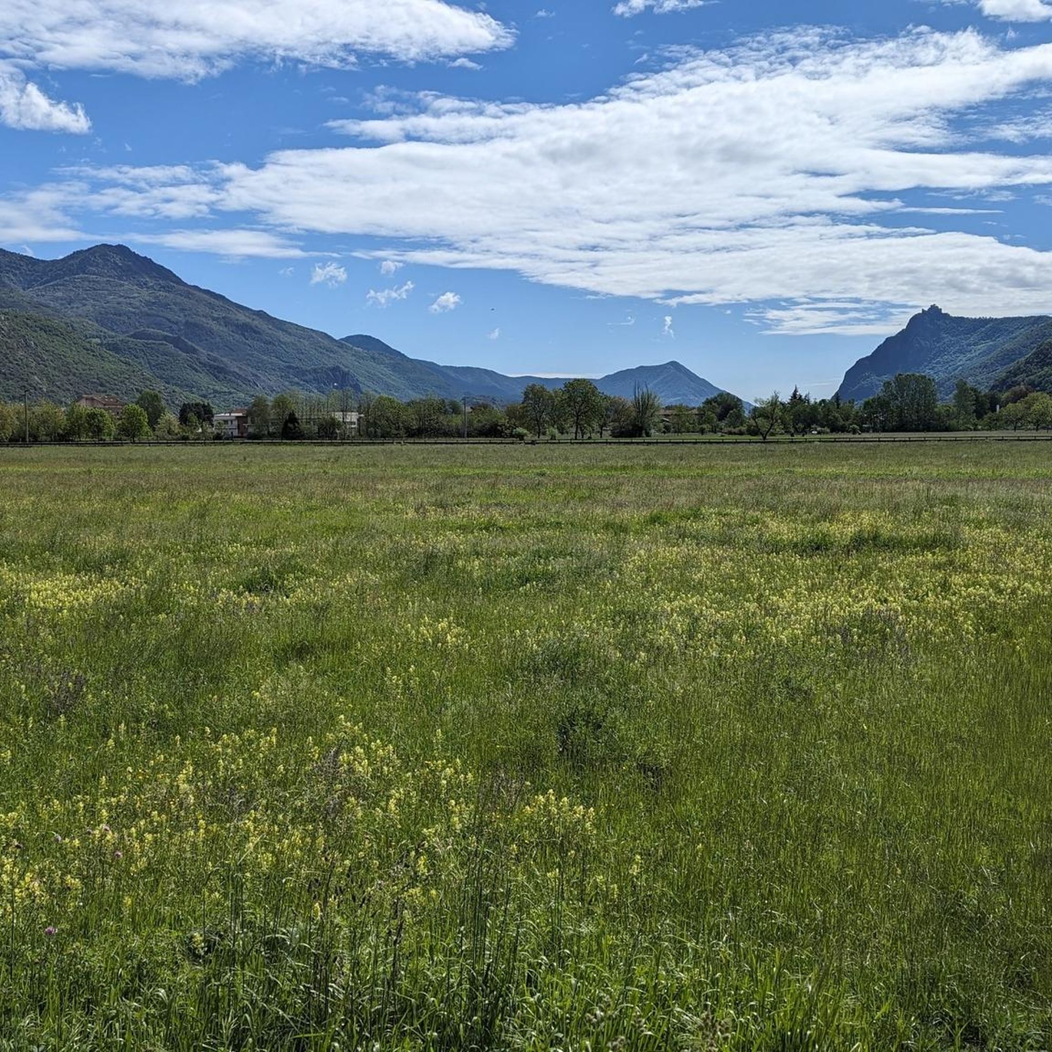
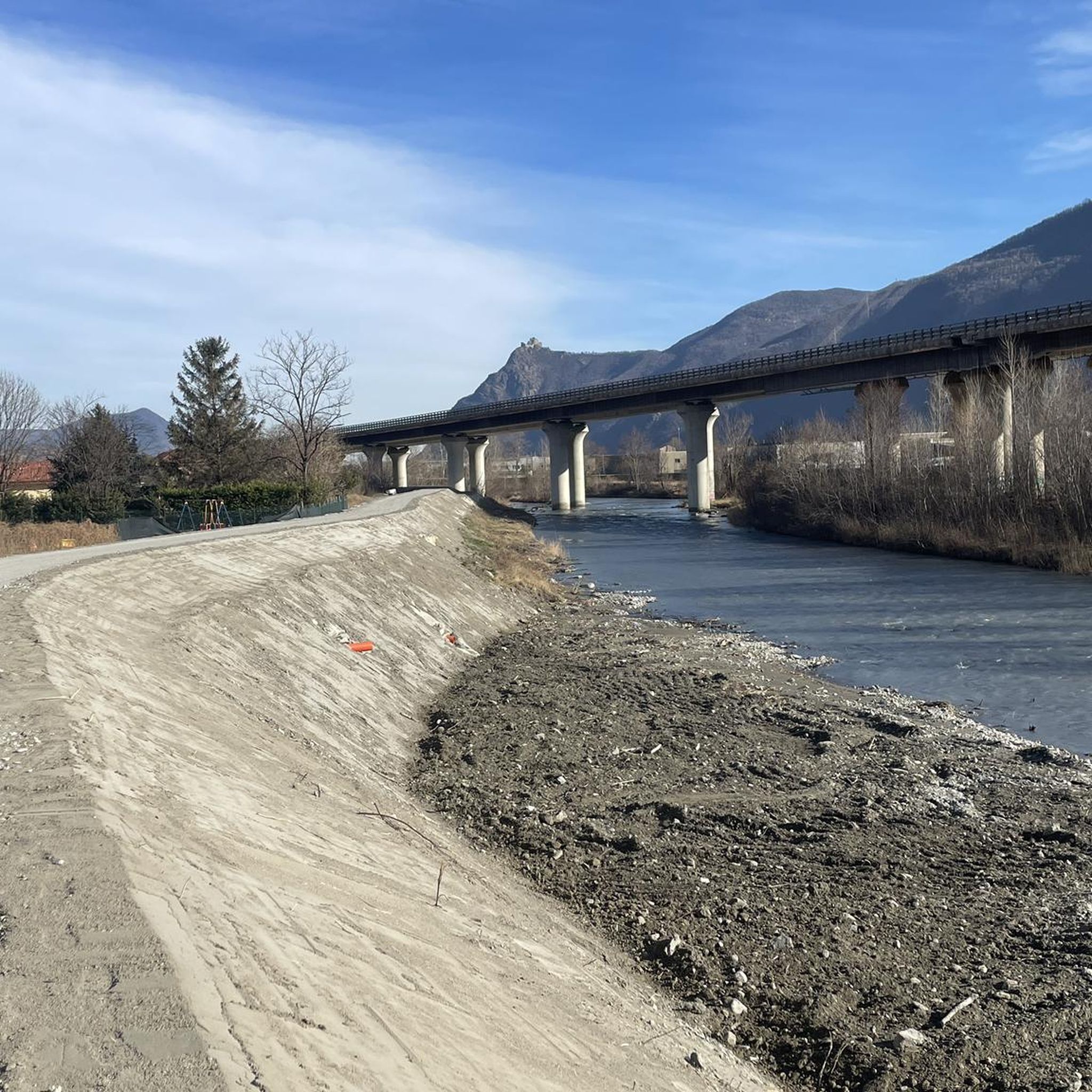
Hiking around Sant'Antonino Di Susa offers diverse landscapes within Italy's Susa Valley. The region features intensely green meadows, the Dora Riparia river, and challenging mountain terrain, including parts of the Orsiera-Rocciavrè Natural Park. Glacial lakes, slopes, and ravines characterize the higher elevations, providing varied environments for outdoor activities. This area is well-suited for different levels of physical activity, from valley-bottom routes to demanding mountain trails.
Best hiking trails around Sant'Antonino Di Susa
- The most popular hiking route is From Sant'Antonino…
Last updated: August 19, 2026
4.5
(2)
8
hikers
12.1km
06:01
1,030m
1,030m
Hard hike. Very good fitness required. Mostly accessible paths. Sure-footedness required.
4.3
(4)
17
hikers
13.9km
06:48
1,100m
1,100m
Hard hike. Very good fitness required. Mostly accessible paths. Sure-footedness required.

Sign up for free
4.6
(9)
20
hikers
6.43km
01:52
160m
160m
Easy hike. Great for any fitness level. Easily-accessible paths. Suitable for all skill levels.
5.0
(1)
20
hikers
10.1km
02:38
70m
70m
Moderate hike. Good fitness required. Easily-accessible paths. Suitable for all skill levels.
11
hikers
7.78km
02:00
30m
30m
Easy hike. Great for any fitness level. Easily-accessible paths. Suitable for all skill levels.
Get access to more routes and recommendations from other explorers.
Sign up for free
Already have an account?
Our route recommendations are based on thousands of hikes, rides, and runs completed by other people on komoot.
Start today with a free account
Your next adventure awaits.
Login or Signup

Tips from the Community

Simple route with several fountains and some shade, a beautiful landscape over the Susa Valley, also passing below San Michele....
0
0

Ottimo punto panoramico sulla Valsusa, salendo sulla roccia. La si raggiunge con sentiero non difficile
0
0

A panoramic promontory located along trail 435. Made of ancient metamorphic rocks, it offers a privileged vantage point over the Sangone Valley and, in the distance, Turin. It is one of the area's major geological features and a characteristic stop on the route.
0
0
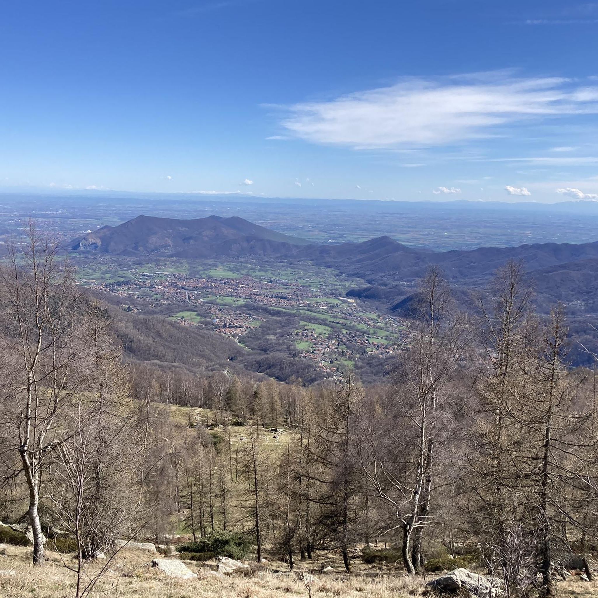
A beautiful clearing in the woods, offering a panoramic view of the Sangone Valley and the surrounding peaks. The alpine chapel has a simple yet striking structure, with a portico, gabled roof, and bell gable. An ideal stop for lunch, the entire area is equipped with picnic tables and benches.
0
0
A little hidden, it is located near the Colle, at the beginning of the path that then descends to the hamlets of Merlo and Tonda di Coazze
0
0

Very welcoming place for hikers and bikers. Lots of tables and benches scattered everywhere
1
0

Excellent view of Val Sangone and Punta dell'Aquila.
0
0

The parish church of Sant'Antonino di Susa is one of the oldest in the Susa Valley. In fact, it is already mentioned in documents dating back to 1029. Over time it has undergone renovations and modernizations and today the bell tower is the only part that retains its original style.
1
0
Frequently Asked Questions
How many hiking trails are available around Sant'Antonino Di Susa?
There are over 20 hiking routes around Sant'Antonino Di Susa, offering a variety of experiences from easy valley walks to more challenging mountain ascents. The komoot community has explored these trails over 15,000 times.
Are there any easy or family-friendly hiking options in Sant'Antonino Di Susa?
Yes, Sant'Antonino Di Susa offers several easy routes suitable for families. For instance, the Trail to Cresto (505B) loop from Sant'Antonino - Vaie is an easy 6.4 km hike. The region also features accessible 'valley bottom routes' along the historic Via Francigena, perfect for gentle strolls through fields and medieval centers.
What kind of terrain can I expect on hikes around Sant'Antonino Di Susa?
The terrain around Sant'Antonino Di Susa is highly varied. You'll find intensely green meadows in the valley, alongside the Dora Riparia river. Higher up, trails ascend into the Orsiera-Rocciavrè Natural Park, characterized by glacial lakes, slopes, and ravines. Some routes, like the From Sant'Antonino to Col Bione Chapel (via CAI 505), involve significant elevation gain on mountain paths.
Are there any challenging hiking trails for experienced hikers?
Absolutely. For experienced hikers seeking a challenge, routes like the From Sant'Antonino to Col Bione Chapel (via CAI 505) and the View from Colle Bione – Roccia Corba loop from Sant'Antonino - Vaie are classified as difficult. These trails feature substantial elevation gains and offer expansive views over the Susa Valley and surrounding peaks.
What natural features or viewpoints can I discover on the trails?
Hiking in Sant'Antonino Di Susa offers stunning natural features and viewpoints. You can explore the Orsiera-Rocciavrè Natural Park with its glacial lakes and diverse wildlife. Trails often lead to panoramic vistas, such as those from Colle Bione, offering views across the Susa Valley. The Dora Riparia river also adds to the natural charm of the valley bottom routes.
Are there any historical landmarks or attractions accessible by hiking?
Yes, the region is rich in history. A prominent landmark is the majestic Sacra di San Michele, an ancient abbey perched on Mount Pirchiriano, which can be reached via trails like the Sacra di San Michele – Piana di Vaie loop from Sant'Antonino di Susa. Other historical sites include the Via Francigena, the Sentiero dei Franchi, and nearby castles like Avigliana Castle.
Are there circular hiking routes available in Sant'Antonino Di Susa?
Yes, many routes around Sant'Antonino Di Susa are designed as loops. Examples include the View from Colle Bione – Roccia Corba loop from Sant'Antonino - Vaie, the Sacra di San Michele – Piana di Vaie loop from Sant'Antonino di Susa, and the Trail to Cresto (505B) loop from Sant'Antonino - Vaie, offering convenient starting and ending points.
What do other hikers enjoy most about hiking in Sant'Antonino Di Susa?
The hiking trails in Sant'Antonino Di Susa are highly rated by the komoot community, with an average score of 4.5 stars from over 3,200 reviews. Hikers often praise the diverse landscapes, from green valley meadows to challenging mountain paths, and the opportunity to combine nature exploration with visits to historical landmarks like the Sacra di San Michele.
Is public transport available to reach hiking trailheads?
Sant'Antonino di Susa is situated in the Susa Valley, which generally has public transport options connecting towns. While specific trailhead access varies, local bus services often operate within the valley. It's advisable to check local transport schedules for the most up-to-date information on reaching specific starting points.
Are there options for parking near the hiking trails?
Yes, parking is generally available in Sant'Antonino di Susa and near popular trailheads. As with any popular hiking destination, it's recommended to arrive early, especially during peak seasons, to secure a spot. Some routes may have designated parking areas at their starting points.
What is the best time of year to go hiking in Sant'Antonino Di Susa?
The Susa Valley offers hiking opportunities throughout much of the year. Spring and autumn provide pleasant temperatures and vibrant scenery, ideal for most trails. Summer is excellent for higher-altitude routes in the Orsiera-Rocciavrè Natural Park. While some lower valley routes might be accessible, winter hiking can be challenging due to snow and ice, especially at higher elevations.
Are there any less crowded hiking options for a quieter experience?
While popular routes can see more visitors, the extensive network of trails in the Susa Valley means you can often find quieter paths. Exploring some of the less-known local loops or venturing into the broader Orsiera-Rocciavrè Natural Park on weekdays or during off-peak hours can offer a more serene hiking experience away from the main tourist spots.
Most popular routes around Sant'Antonino Di Susa
Most popular attractions around Sant'Antonino Di Susa

Get inspired with the komoot mobile app


Explore more
Browse the best Hikes in other regions.
