The best MTB trails around Sant'Antonino Di Susa
4.4
(475)
3,260
riders
17
rides
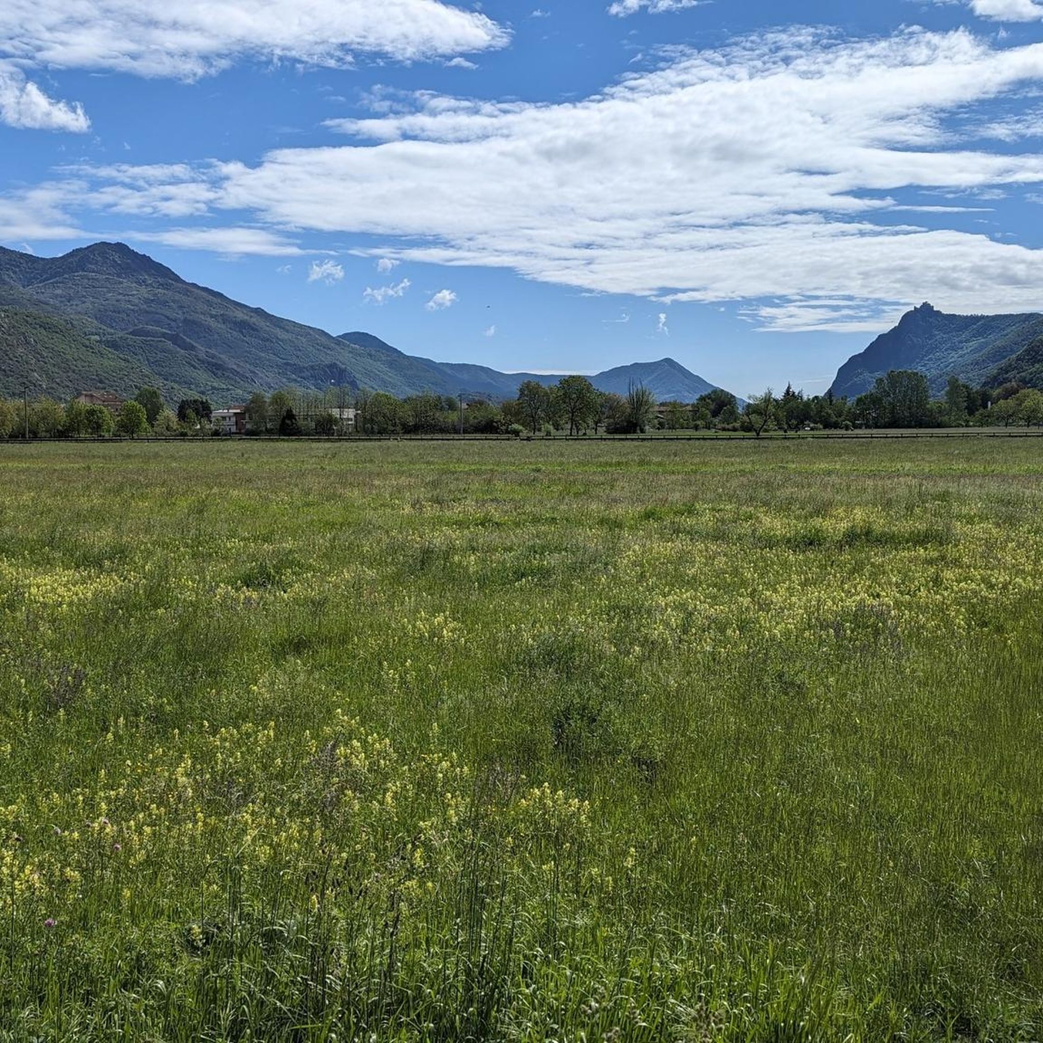
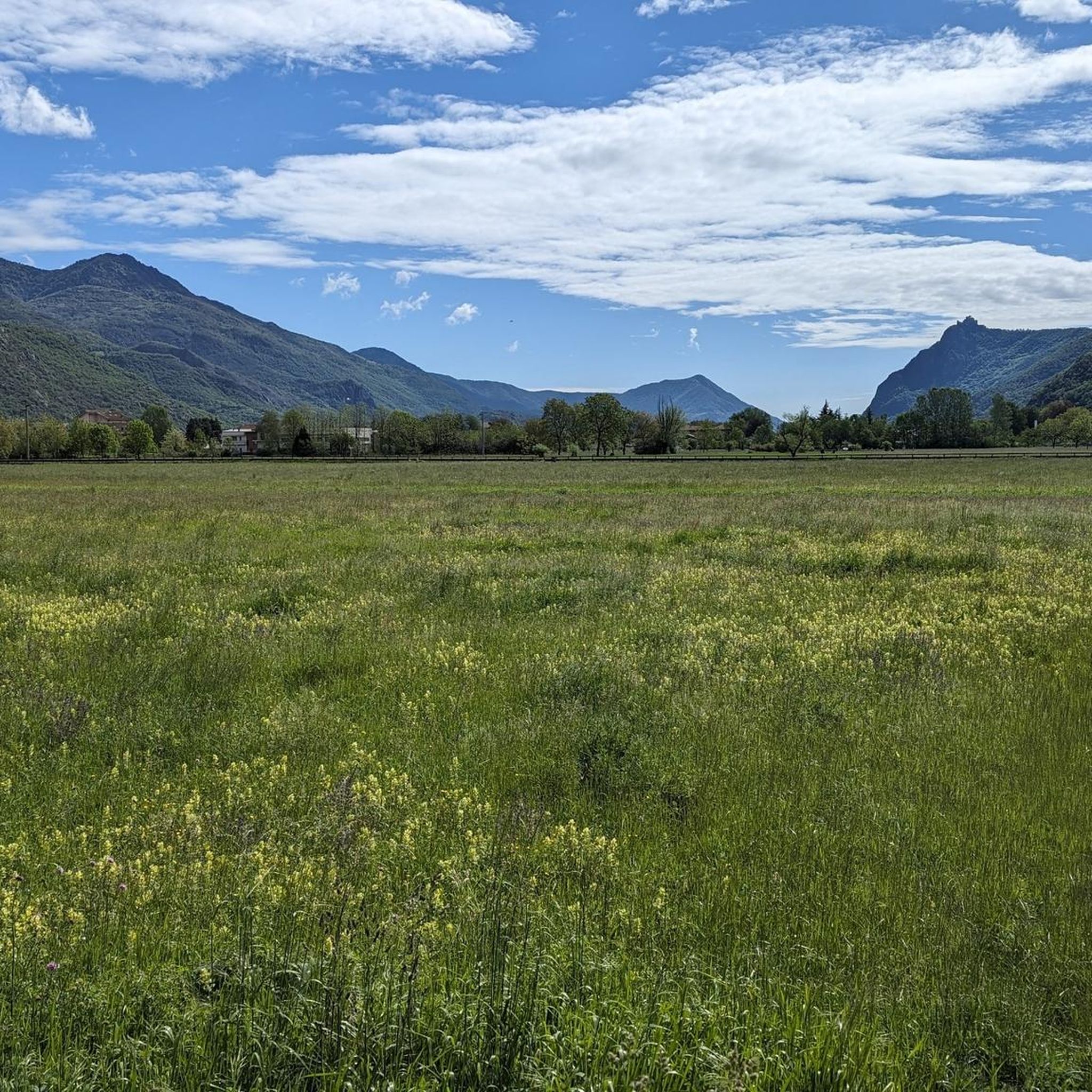
Mountain biking around Sant'Antonino Di Susa offers diverse terrain within Italy's Susa Valley, situated between the Graian and Cottian Alps. The region features significant elevation changes, with routes navigating dirt roads, mule tracks, and dedicated trails through forests and past open clearings. The Dora Riparia river flows through the valley, complementing the mountainous backdrop.
Best mountain bike trails around Sant'Antonino Di Susa
- The most popular mountain bike trail is Casotto Fumavecchia loop from Sant'Antonino - Vaie, a 22.5 miles…
Last updated: July 1, 2026
5.0
(8)
57
riders
36.1km
03:34
1,320m
1,320m
Hard mountain bike ride. Very good fitness required. Advanced riding skills necessary. Some portions of the route may require you to push your bike.
4.2
(5)
30
riders
51.8km
03:22
390m
390m
Moderate mountain bike ride. Good fitness required. Suitable for all skill levels.

Sign up for free
3.8
(8)
23
riders
Easy mountain bike ride. Great for any fitness level. Suitable for all skill levels.
3.5
(2)
17
riders
74.9km
06:58
2,140m
2,140m
Hard mountain bike ride. Very good fitness required. Advanced riding skills necessary. Some portions of the route may require you to push your bike.
3.9
(7)
21
riders
25.0km
01:25
180m
180m
Easy mountain bike ride. Great for any fitness level. Suitable for all skill levels.
Get access to more routes and recommendations from other explorers.
Sign up for free
Already have an account?
Our route recommendations are based on thousands of hikes, rides, and runs completed by other people on komoot.
Start today with a free account
Your next adventure awaits.
Login or Signup

Tips from the Community

Beautiful route surrounded by the splendid mountains of Val Susa with the supervision of Mount Musinè and the Sacra di S.Michele.
0
0

Gateway to the old city, on a stretch of road that allows you to avoid the provincial road and gives access to the church of San Pietro and the old cemetery.
0
0

Section of the Via Francigena in the municipality of Avigliana
0
0

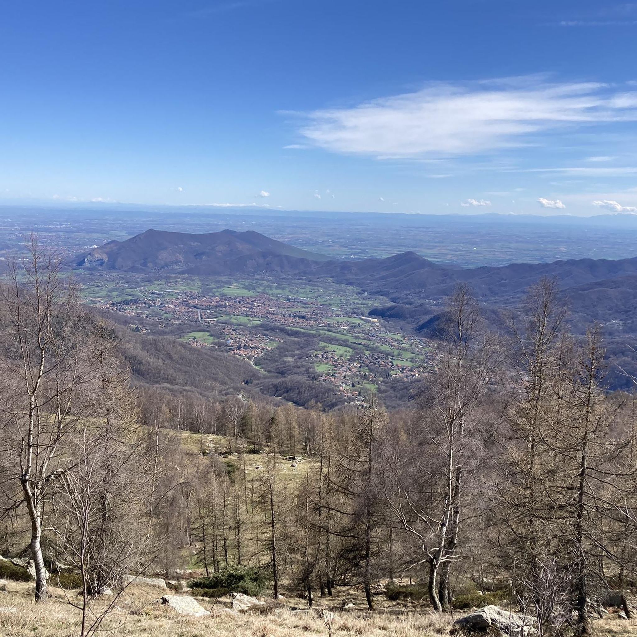
Rest point and beautiful view
1
0
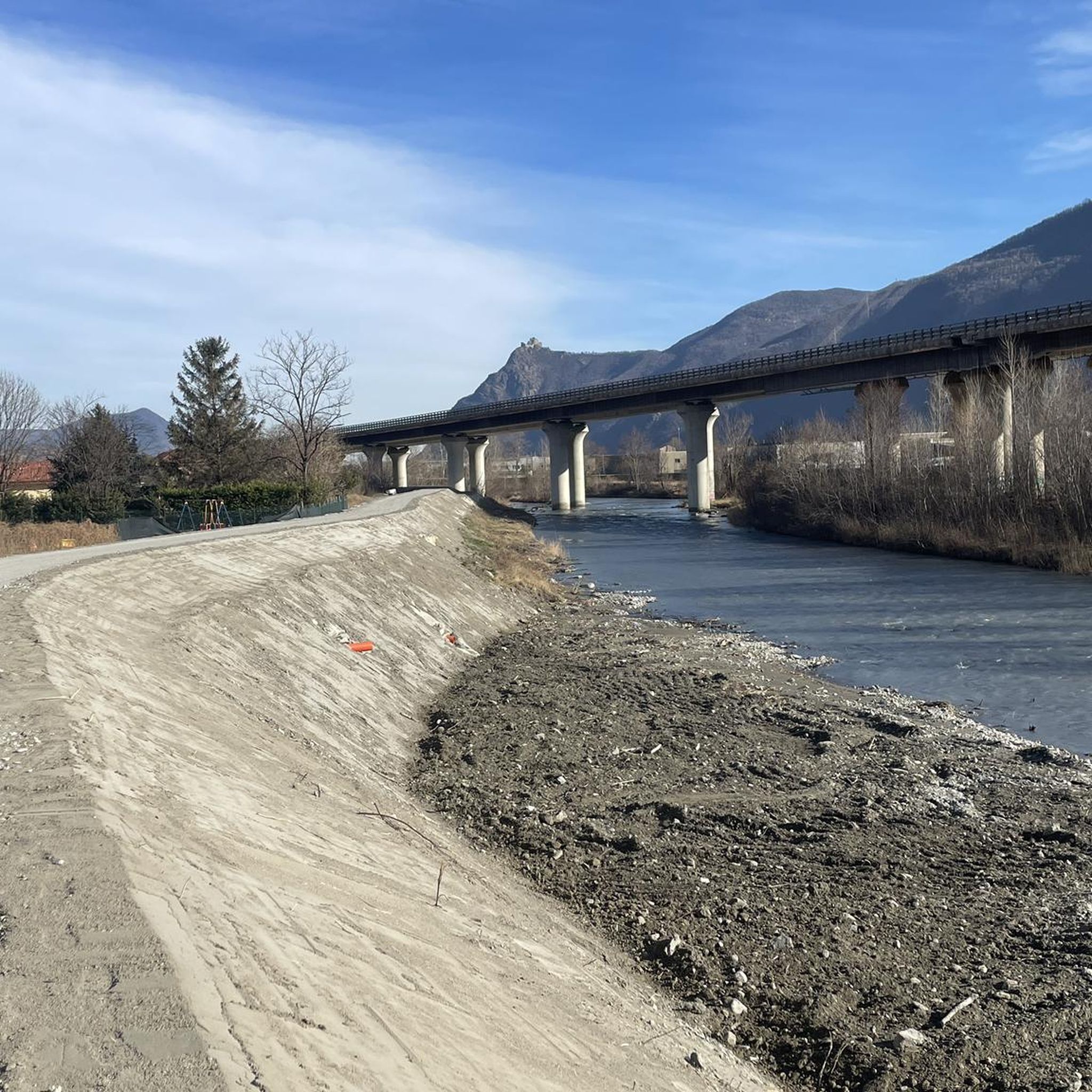
Beautiful cycle bridge over the Dora, surrounded by a pleasant network of dedicated paths.
0
0

Near Pra Sabò, where you can stop in the picnic area
1
0
Frequently Asked Questions
How many mountain bike trails are available in Sant'Antonino Di Susa?
There are 19 mountain bike trails around Sant'Antonino Di Susa, offering a range of options for different skill levels. This includes 4 easy, 7 moderate, and 8 difficult routes.
What is the best time of year for mountain biking in Sant'Antonino Di Susa?
The Susa Valley, where Sant'Antonino Di Susa is located, offers a long season for mountain biking. While specific weather can vary, the region is generally enjoyable from spring through autumn. Always check local weather conditions before heading out, especially for higher elevation routes.
Are there any family-friendly mountain bike trails in Sant'Antonino Di Susa?
Yes, there are 4 easy mountain bike trails in the area that are suitable for families or those looking for a less challenging ride. These routes often navigate through forests and past open clearings, providing a pleasant experience without extreme technical demands.
Can I bring my dog on the mountain bike trails?
Many trails in the Susa Valley are dog-friendly, especially those that follow wider dirt roads or less technical paths. However, it's always recommended to keep your dog on a leash, particularly in areas with wildlife or other trail users, and to check specific trail regulations if available. Be mindful of your dog's endurance and paw safety on longer or rockier routes.
What kind of terrain can I expect on the mountain bike trails around Sant'Antonino Di Susa?
The terrain around Sant'Antonino Di Susa is diverse, featuring significant elevation changes as it's nestled between the Graian and Cottian Alps. You'll encounter dirt roads, ancient mule tracks, and dedicated trails winding through dense forests, open grassy clearings, and pastures. Some routes follow ancient military roads, offering a mix of natural beauty and historical context.
Are there any circular mountain bike routes available?
Yes, many of the mountain bike trails around Sant'Antonino Di Susa are designed as loops. For example, the Casotto Fumavecchia loop from Sant'Antonino - Vaie is a challenging 36.2 km route, and the Scenic Viewpoint loop from Sant'Antonino - Vaie offers expansive views over 24.3 km.
What interesting landmarks or viewpoints can I see while mountain biking?
The trails often provide stunning views of the Susa Valley and surrounding Alps. You might encounter historical elements like ancient 'cupped rocks' from the Iron Age. For panoramic vistas, consider routes like the Borgata Trune – View of Turin from Frassinere loop from Sant'Antonino - Vaie. Additionally, nearby attractions include the impressive Sacra di San Michele and the serene Lago Grande di Avigliana.
Are there any waterfalls accessible from the mountain bike trails?
Yes, the region boasts several beautiful waterfalls. You can find highlights such as the Goja del Pis Waterfall, Leuja Scura Waterfall, and Gravio Waterfall, which can be incorporated into or visited near your mountain biking adventures.
What do other mountain bikers say about the trails in Sant'Antonino Di Susa?
The mountain bike trails in Sant'Antonino Di Susa are highly regarded by the komoot community, with an average rating of 4.5 stars from over 650 reviews. Riders often praise the diverse terrain, the significant elevation changes that offer a good challenge, and the stunning views of the Susa Valley.
Are there options for long-distance or multi-hour mountain bike rides?
Absolutely. The area offers routes that cater to longer excursions. For instance, the View of Turin from Frassinere – Exposed Rock Formation loop from Sant'Antonino - Vaie is a challenging 74.9 km route that typically takes nearly 7 hours to complete, featuring over 2,100 meters of elevation gain.
What is the longest mountain bike trail in the area?
The longest mountain bike trail listed is the View of Turin from Frassinere – Exposed Rock Formation loop from Sant'Antonino - Vaie, which spans 74.9 km and involves significant elevation changes.
Are there any moderate difficulty mountain bike trails for intermediate riders?
Yes, there are 7 moderate mountain bike trails available. A good option for intermediate riders is the Scenic Viewpoint – Mocchie Square loop from Sant'Antonino - Vaie, which is 20.9 km long and offers a balanced challenge with scenic views.
Most popular routes around Sant'Antonino Di Susa
Most popular attractions around Sant'Antonino Di Susa

Get inspired with the komoot mobile app


Explore more
Browse the best MTB trails in other regions.
