The best walks and hikes in the Sierra Nevada de Santa Marta
4.5
(935)
7,709
hikers
87
hikes
Hiking in the Sierra Nevada de Santa Marta offers diverse terrain, ranging from tropical forests to alpine páramos, within the world's highest coastal mountain range. This region features snow-capped peaks like Mount Colón and Mount Bolívar, situated just 42 kilometers from the Caribbean Sea. The area is a UNESCO Biosphere Reserve, characterized by a rich mosaic of ecosystems and numerous rivers. Hikers can experience varied landscapes, from lush jungles in the lowlands to cloud forests at higher elevations.
Best hiking trails in the Sierra Nevada de Santa Marta
- The most popular hiking route is Pre-Columbian Trail to Pueblito, a 7.7 miles (12.4 km) trail that takes 3 hours 21 minutes to complete. This moderate path leads through varied landscapes towards an ancient archaeological site.
- Another top favourite among local hikers is Marinka Waterfalls Trail, a moderate 5.4 miles (8.6 km) path. This route offers views of natural waterfalls and lush tropical vegetation.
- Local hikers also love the Los Pinos y cascadas de Marinka por el circuito Minca, an 11.5 miles (18.5 km) trail leading through dense jungle and offering panoramic views, often completed in about 5 hours 56 minutes.
- Hiking in the Sierra Nevada de Santa Marta is defined by lush jungles, cloud forests, and alpine páramos. The network offers options for different ability levels, from moderate walks to challenging multi-day treks.
- The routes in Sierra Nevada de Santa Marta are highly rated by the komoot community with an average score of 4.6 stars from over 1,000 reviews. More than 8,000 hikers have used komoot to explore Sierra Nevada de Santa Marta's varied terrain.
Last updated: July 7, 2026
4.7
(88)
1,238
hikers
12.4km
03:21
170m
170m
Moderate hike. Good fitness required. Easily-accessible paths. Suitable for all skill levels.
4.5
(123)
659
hikers
8.63km
02:34
260m
260m
Moderate hike. Good fitness required. Easily-accessible paths. Suitable for all skill levels.

Sign up for free
4.6
(65)
272
hikers
18.5km
05:56
770m
770m
Hard hike. Very good fitness required. Easily-accessible paths. Suitable for all skill levels.
4.3
(73)
249
hikers
21.9km
07:06
930m
940m
Hard hike. Very good fitness required. Easily-accessible paths. Suitable for all skill levels.
4.9
(22)
221
hikers
15.5km
06:28
740m
740m
Hard hike. Very good fitness required. Mostly accessible paths. Sure-footedness required.
4.3
(28)
216
hikers
8.93km
02:37
250m
250m
Moderate hike. Good fitness required. Easily-accessible paths. Suitable for all skill levels.
4.8
(28)
187
hikers
22.1km
07:50
820m
820m
Hard hike. Very good fitness required. Mostly accessible paths. Sure-footedness required.
4.7
(13)
148
hikers
16.8km
04:34
240m
240m
Moderate hike. Good fitness required. Easily-accessible paths. Suitable for all skill levels.
4.7
(20)
94
hikers
9.95km
03:28
540m
540m
Moderate hike. Good fitness required. Easily-accessible paths. Suitable for all skill levels.
4.8
(23)
94
hikers
10.3km
03:41
600m
600m
Moderate hike. Good fitness required. Easily-accessible paths. Suitable for all skill levels.
Get access to more routes and recommendations from other explorers.
Sign up for free
Already have an account?
Our route recommendations are based on thousands of hikes, rides, and runs completed by other people on komoot.
Start today with a free account
Your next adventure awaits.
Login or Signup
Tips from the Community

A small, hidden gem amidst lush jungle vegetation. The water cascades over large boulders into a tranquil natural pool, inviting a dip. The waterfall is accessible via an easy hiking trail from Minca. The name "Oído del Mundo" translates to "Ear of the World". In the surrounding area, there are hints of the region's rich indigenous civilizations' history.
0
1
The Second Marinka Waterfall (Cascada de Marinka 2) near the mountain village of Minca. It is part of a private complex in the Sierra Nevada de Santa Marta, known for its lush jungle landscape and refreshing natural pools. The complex consists of two main waterfalls. The second waterfall is higher and particularly photogenic, while the lower waterfall offers a larger pool for swimming.
0
0

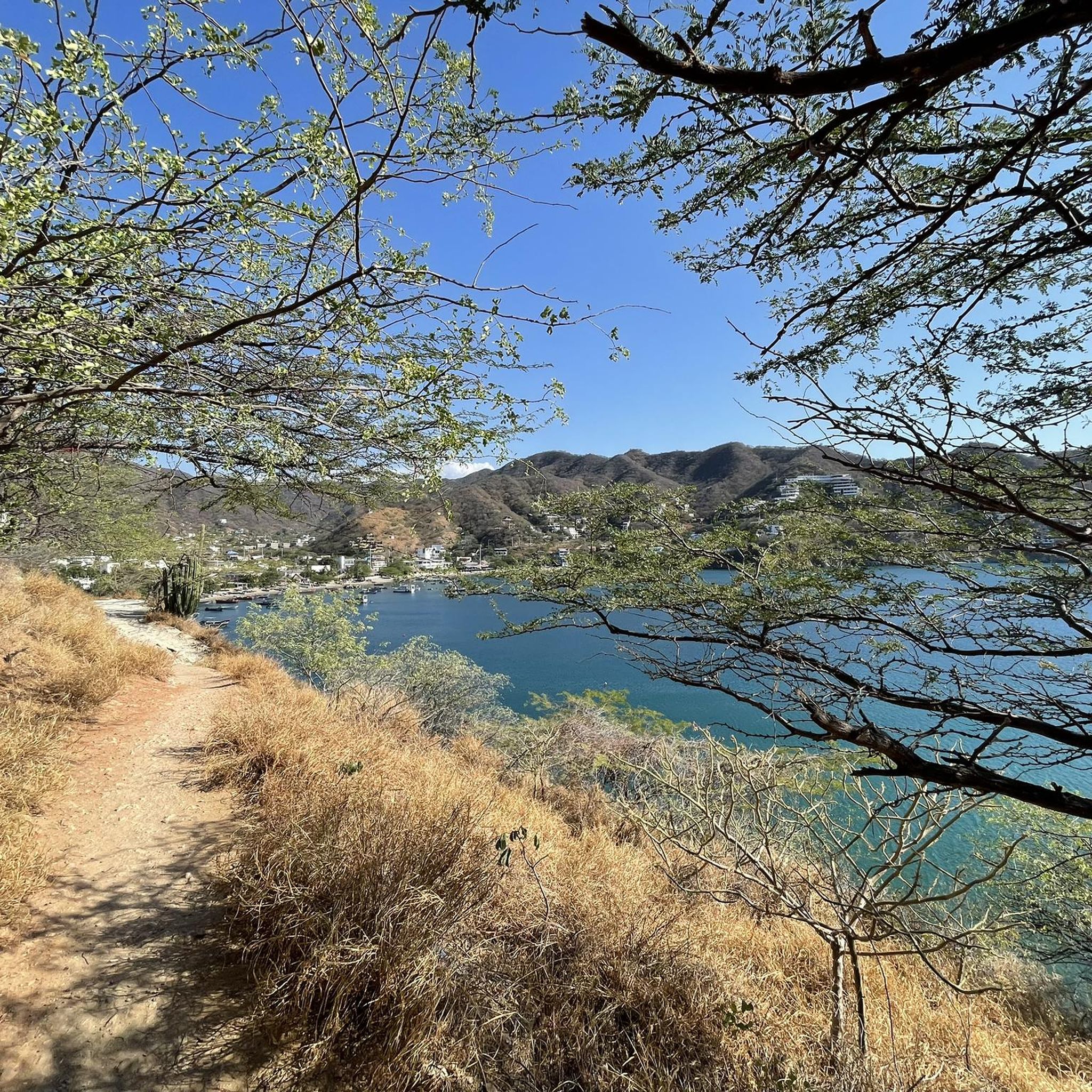
A small settlement with friendly villagers. A little further south there is a viewpoint overlooking Tayrona Park, which costs about 20,000 COP unless you buy a souvenir (not exactly cheap). Otherwise, you can also buy something to drink here.
0
0
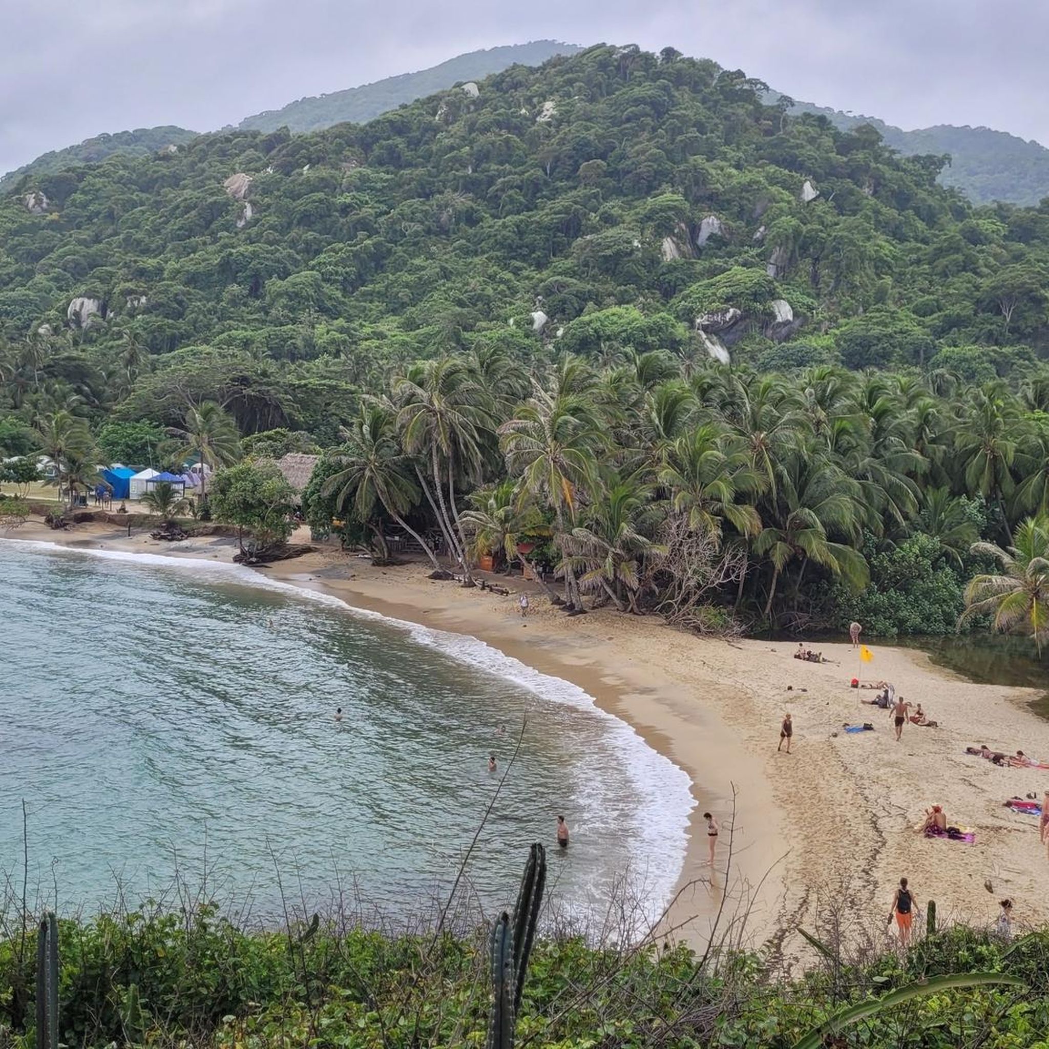
Beautiful beach with accommodation (Hotel Teyumakke), where bungalows, tents, and hammocks are available, including a restaurant (only with fixed meal times). The sea here is very active, swimming is practically impossible, very strong currents with a swimming ban on half of the beach alone. In the remaining part, you can go into the water up to your waist. However, the surf and waves are quite strong, so you should not really go into the water alone and should always pay attention to a secure footing. I found two Portuguese man o' wars on the beach. Landscaped beautifully and rustic, surrounded on both sides by green slopes with a rocky coast where the waves crash high.
1
0

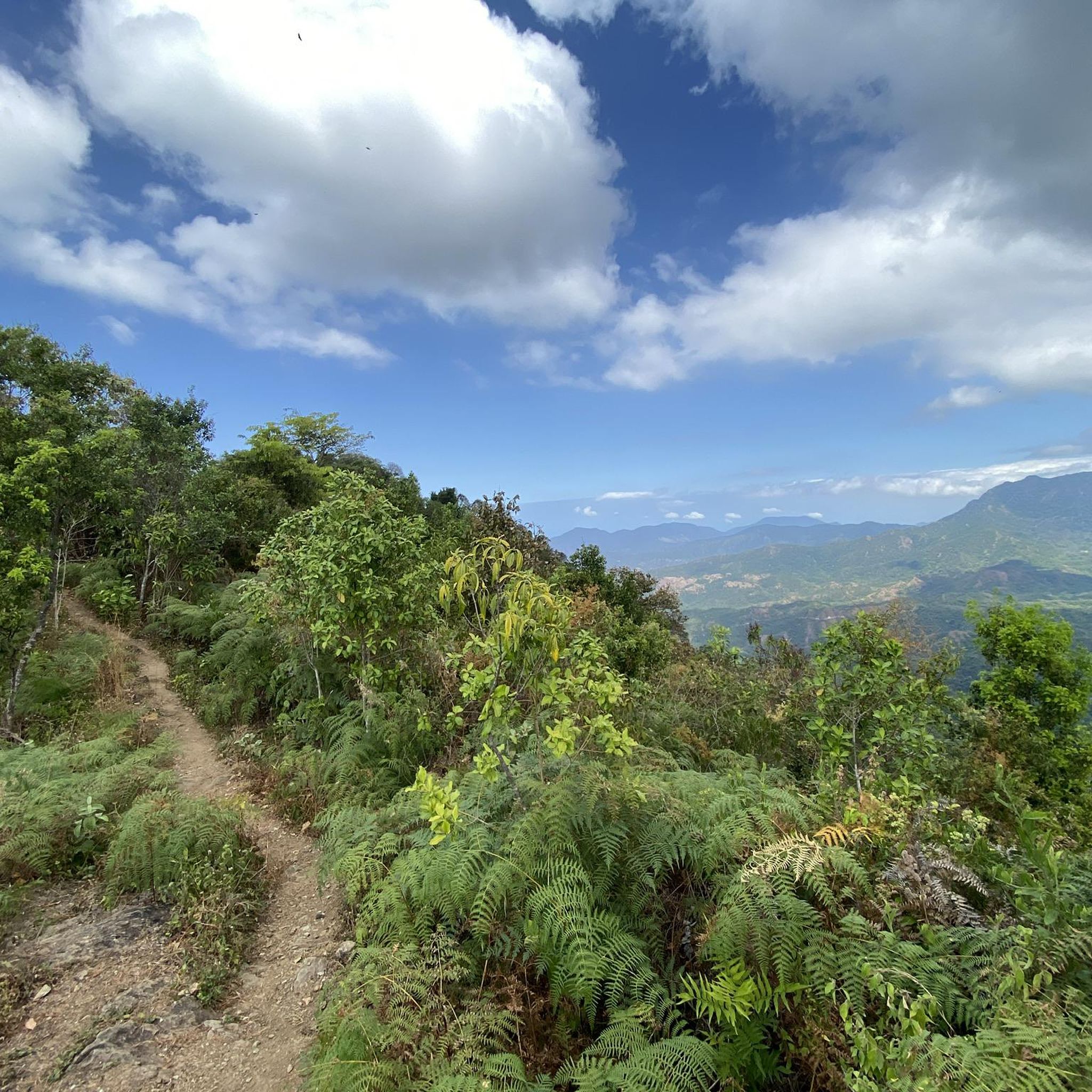
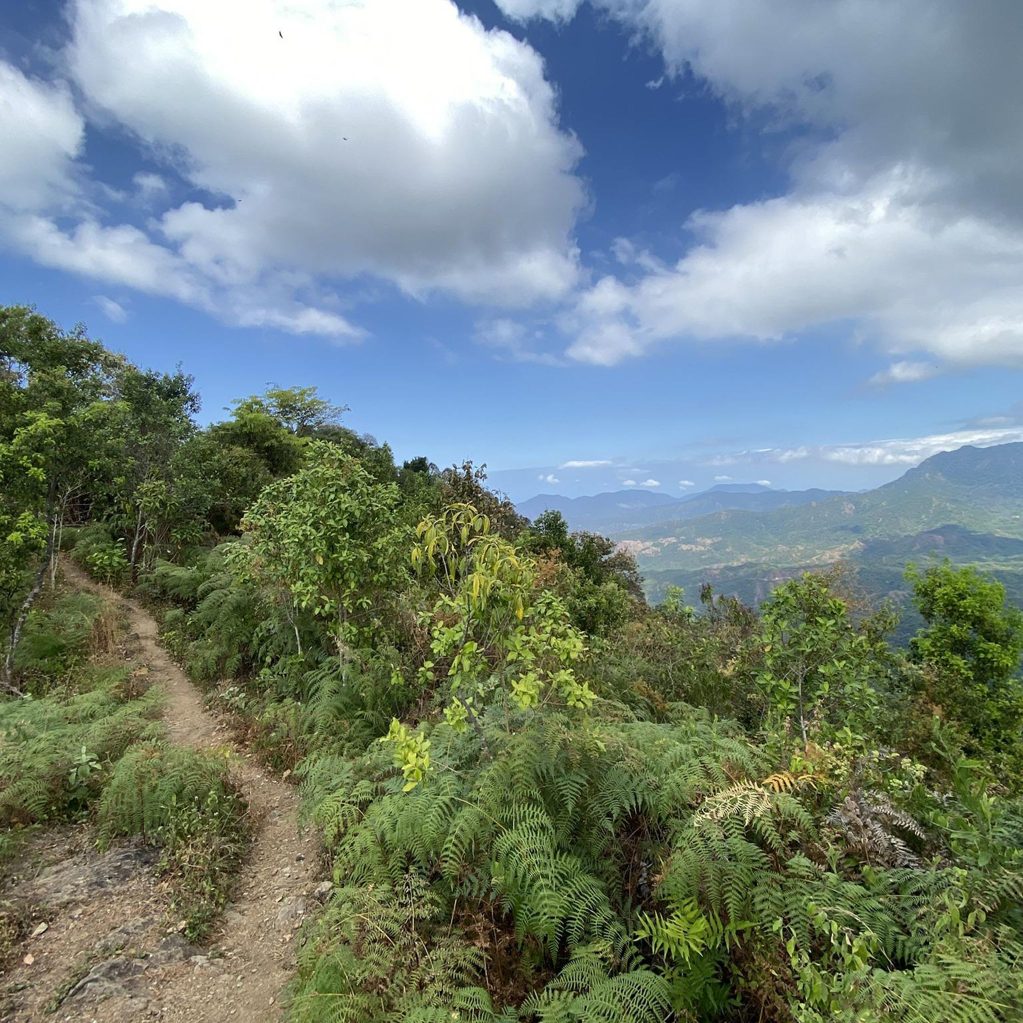
The Mango Pass is a dirt road that starts in Minca and crosses the Edén de Oriente civil society nature reserve, ascending to the 360 Viewpoint. From the top, you can enjoy spectacular panoramic views that reach Santa Marta and the Caribbean coast.
0
0

At the end of the path appears this idyllic beach, with golden sand and crystal-clear waters that invite you to relax. It is surrounded by lush green vegetation that frames the landscape and gives it an intimate and wild feel.
0
0
The Oído del Mundo waterfall is a hidden gem nestled among the vegetation of Minca, where the water cascades down, forming a tranquil pool perfect for a quick dip. It's reached via an easy trail, though with some damp and slightly slippery sections, typical of the area.
1
0
Frequently Asked Questions
How many hiking trails are available in the Sierra Nevada de Santa Marta?
The Sierra Nevada de Santa Marta offers a wide range of hiking experiences with over 90 trails recorded on komoot. These include 37 easy routes, 43 moderate paths, and 17 more challenging treks, catering to various skill levels.
What are the typical difficulty levels for hiking in the Sierra Nevada de Santa Marta?
Hiking in the Sierra Nevada de Santa Marta ranges from moderate walks through lush jungles to difficult multi-day treks. You'll find paths like the Pre-Columbian Trail to Pueblito, which is moderate, to more challenging routes like Los Pinos y cascadas de Marinka por el circuito Minca, which is considered difficult.
Are there any challenging multi-day treks in the Sierra Nevada de Santa Marta?
Yes, the Sierra Nevada de Santa Marta is home to the famous Lost City (Ciudad Perdida) trek. This multi-day journey typically takes 4-6 days, navigating dense jungle, crossing rivers, and climbing 1,200 stone steps to reach an ancient archaeological site built by the Tayrona civilization. It's a significant cultural and physical challenge.
What kind of terrain can I expect on hikes in the Sierra Nevada de Santa Marta?
The Sierra Nevada de Santa Marta offers incredibly varied terrain. You can expect to hike through lush tropical forests in the lowlands, ascend into cloud forests, and even reach alpine páramos at higher elevations. The landscape transitions dramatically, providing diverse experiences from jungle paths to mountain trails.
Are there any waterfalls I can visit while hiking in the Sierra Nevada de Santa Marta?
Absolutely! The Sierra Nevada is the source of approximately 29 main rivers, leading to numerous waterfalls and natural pools. Popular spots include the Second Marinka waterfall, accessible via the Marinka Waterfalls Trail, and Pozo Azul, which can be reached on the Pozo Azul Trail.
What natural landmarks or viewpoints can I discover on the trails?
Hikers can find spectacular natural landmarks and viewpoints. Cerro Kennedy offers breathtaking sunrise views of the snow-capped peaks of Cristóbal Colón and Simón Bolívar, as well as vistas of Santa Marta and the Ciénaga lagoon. The Lost City is a monumental ancient site, and Cape San Juan de Guía in Tayrona National Natural Park provides stunning coastal views.
What kind of wildlife might I encounter while hiking?
The Sierra Nevada de Santa Marta is a biodiversity hotspot. While hiking, you might encounter a remarkable array of birds, as the area hosts 7% of all bird species globally. Keep an eye out for howler monkeys, paramo deer, and various endemic plant species. It's also a crucial refuge for endangered amphibians.
What is the best time of year to go hiking in the Sierra Nevada de Santa Marta?
The Sierra Nevada de Santa Marta experiences a tropical climate. Generally, the drier months from December to March and July to August are considered the best for hiking, offering more stable weather conditions and clearer skies, especially for views of the snow-capped peaks.
Are permits required for hiking in the Sierra Nevada de Santa Marta?
For certain areas, especially within national parks like Tayrona or for treks like the Lost City, permits and registered guides are required. It's advisable to check the official requirements for specific routes. You can find more information on the official national parks website: Parques Nacionales Naturales de Colombia.
Are there any circular hiking routes in the Sierra Nevada de Santa Marta?
Yes, there are several excellent circular routes. For instance, the Los Pinos y cascadas de Marinka por el circuito Minca offers a challenging loop through dense jungle. Another option is the Los Pinos and Pozo Azul Loop, which combines forest paths with refreshing natural pools.
What do other hikers enjoy the most about hiking in Sierra Nevada de Santa Marta?
The area is highly rated by the komoot community, with an average score of 4.6 stars from over 1,000 reviews. Reviewers often praise the incredible diversity of ecosystems, from lush jungles to cloud forests, the stunning waterfalls, and the unique cultural experiences offered by encounters with indigenous communities.
Can I find places to eat or drink near the hiking trails, especially around Minca?
Minca village, located in the foothills, is a popular ecotourism hub and offers various options for food and drink. You'll find cafes and restaurants where you can enjoy local coffee and cacao, often after a hike to nearby waterfalls or viewpoints.
Most popular routes in the Sierra Nevada de Santa Marta
Most popular attractions in the Sierra Nevada de Santa Marta

Get inspired with the komoot mobile app


