The best running trails in the Sierra Nevada de Santa Marta
4.8
(10)
361
runners
18
runs
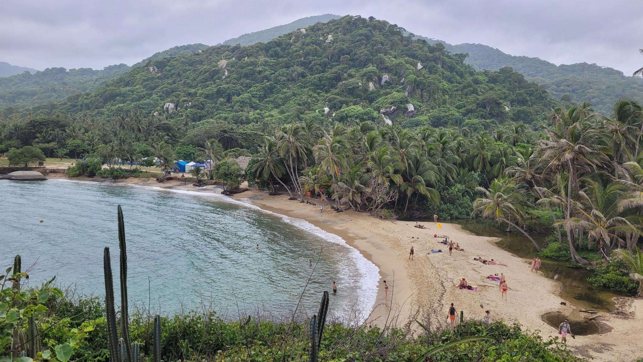
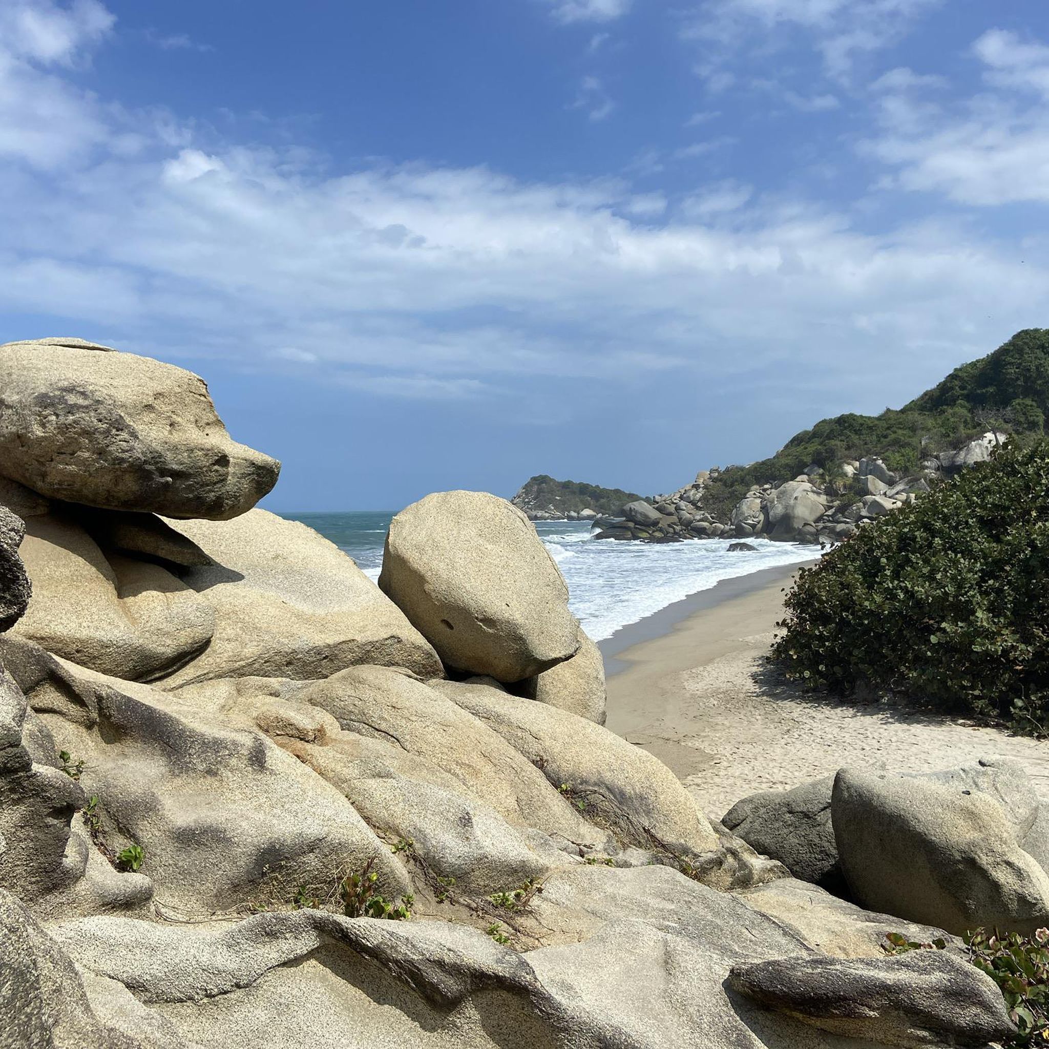
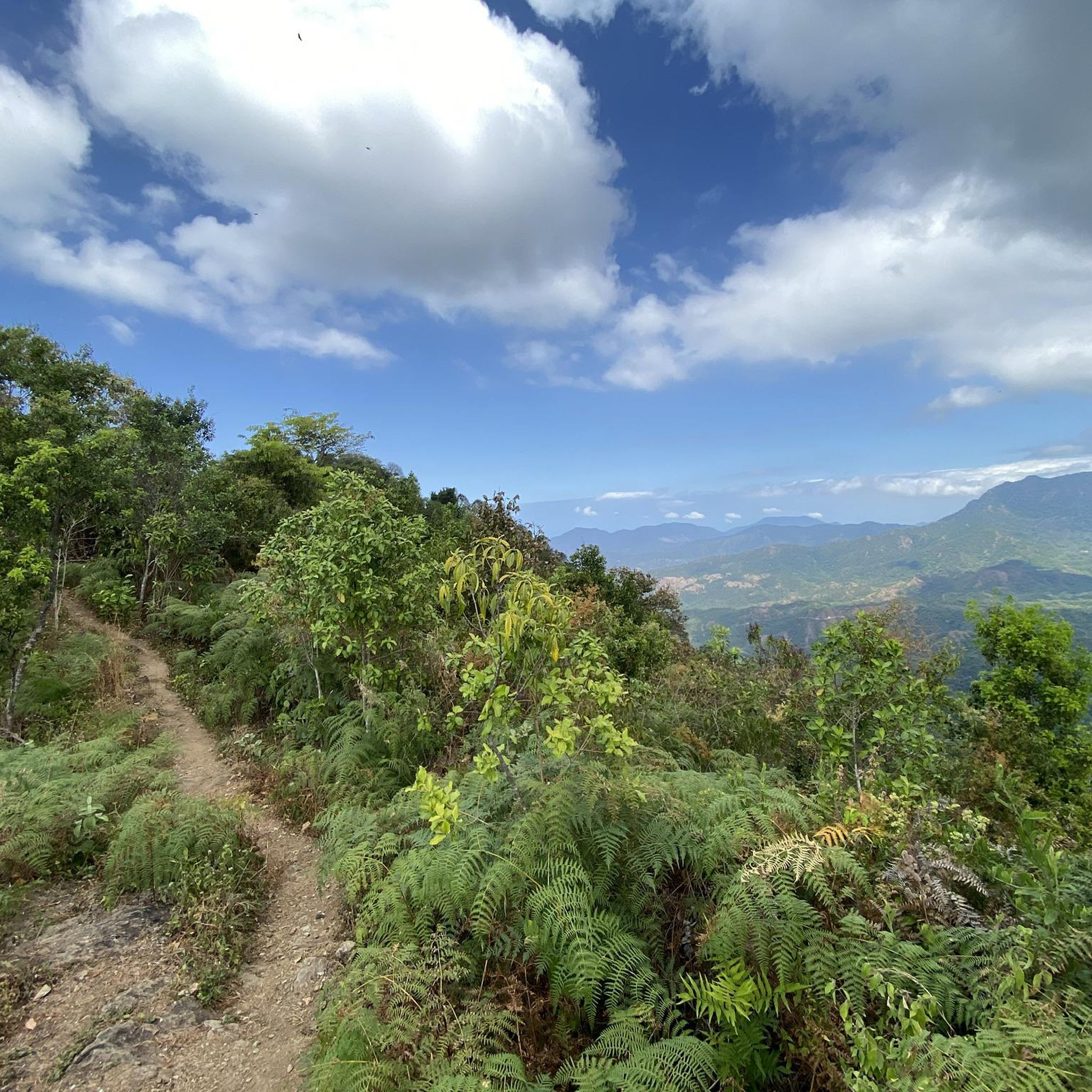
Jogging in the Sierra Nevada de Santa Marta offers diverse terrain, from coastal scrub to high-altitude cloud forests and páramos. This region is characterized by its unique position as the world's highest coastal mountain range, with significant elevation changes creating a mosaic of ecosystems. Runners can experience varied environments, including tropical forests, numerous rivers, and waterfalls. The landscape provides opportunities for both sea-level runs and more challenging ascents.
Best jogging routes in the Sierra Nevada de Santa Marta
- The most popular jogging route is Parque público – Ziruma loop from Santa Marta, a 5.8 miles (9.3 km) trail that takes 1 hour to complete. This moderate route offers a balanced running experience near the city.
- Another top favourite among local runners is El Rodadero loop from Edificio Playamar, an easy 3.1 miles (5.0 km) path. This route features minimal elevation gain, making it suitable for a relaxed run.
- Local runners also love the Running loop from Palomino, a 5.9 miles (9.5 km) trail leading through coastal areas and local landscapes, often completed in about 1 hour 18 minutes.
- Jogging in the Sierra Nevada de Santa Marta is defined by varying altitudes, diverse ecoregions, and numerous rivers. The network offers options for different ability levels, from easy coastal paths to more challenging mountain trails.
- The routes in Sierra Nevada de Santa Marta are highly rated by the komoot community with an average score of 4.8 stars from over 10 reviews. More than 300 runners have used komoot to explore Sierra Nevada de Santa Marta's varied terrain.
Last updated: July 1, 2026
24
runners
9.35km
01:00
120m
120m
Moderate run. Good fitness required. Mostly paved surfaces. Suitable for all skill levels.
20
runners
13.3km
01:45
330m
330m
Hard run. Very good fitness required. Mostly paved surfaces. Suitable for all skill levels.

Sign up for free
5.0
(2)
26
runners
4.96km
00:31
10m
10m
Easy run. Great for any fitness level. Mostly paved surfaces. Suitable for all skill levels.
5.0
(1)
21
runners
54.6km
07:05
1,400m
1,400m
Hard run. Very good fitness required. Mostly paved surfaces. Suitable for all skill levels.
4.0
(2)
13
runners
9.50km
01:18
280m
280m
Moderate run. Good fitness required. Mostly paved surfaces. Suitable for all skill levels.
23
runners
4.73km
00:29
10m
10m
Easy run. Great for any fitness level. Mostly paved surfaces. Suitable for all skill levels.
5.0
(1)
15
runners
11.4km
01:15
180m
180m
Moderate run. Good fitness required. Mostly paved surfaces. Suitable for all skill levels.
12
runners
11.1km
01:10
30m
30m
Moderate run. Good fitness required. Mostly paved surfaces. Suitable for all skill levels.
12
runners
7.58km
00:49
70m
70m
Moderate run. Good fitness required. Mostly paved surfaces. Suitable for all skill levels.
8
runners
19.5km
02:03
140m
140m
Hard run. Very good fitness required. Mostly paved surfaces. Suitable for all skill levels.
Get access to more routes and recommendations from other explorers.
Sign up for free
Already have an account?
Our route recommendations are based on thousands of hikes, rides, and runs completed by other people on komoot.
Start today with a free account
Your next adventure awaits.
Login or Signup
Frequently Asked Questions
How many running routes are available in the Sierra Nevada de Santa Marta?
There are over 15 dedicated running routes in the Sierra Nevada de Santa Marta, offering a diverse range of experiences from easy coastal paths to more challenging mountain trails. The komoot community has explored these routes over 300 times, highlighting their popularity.
What kind of terrain can I expect on jogging routes in the Sierra Nevada de Santa Marta?
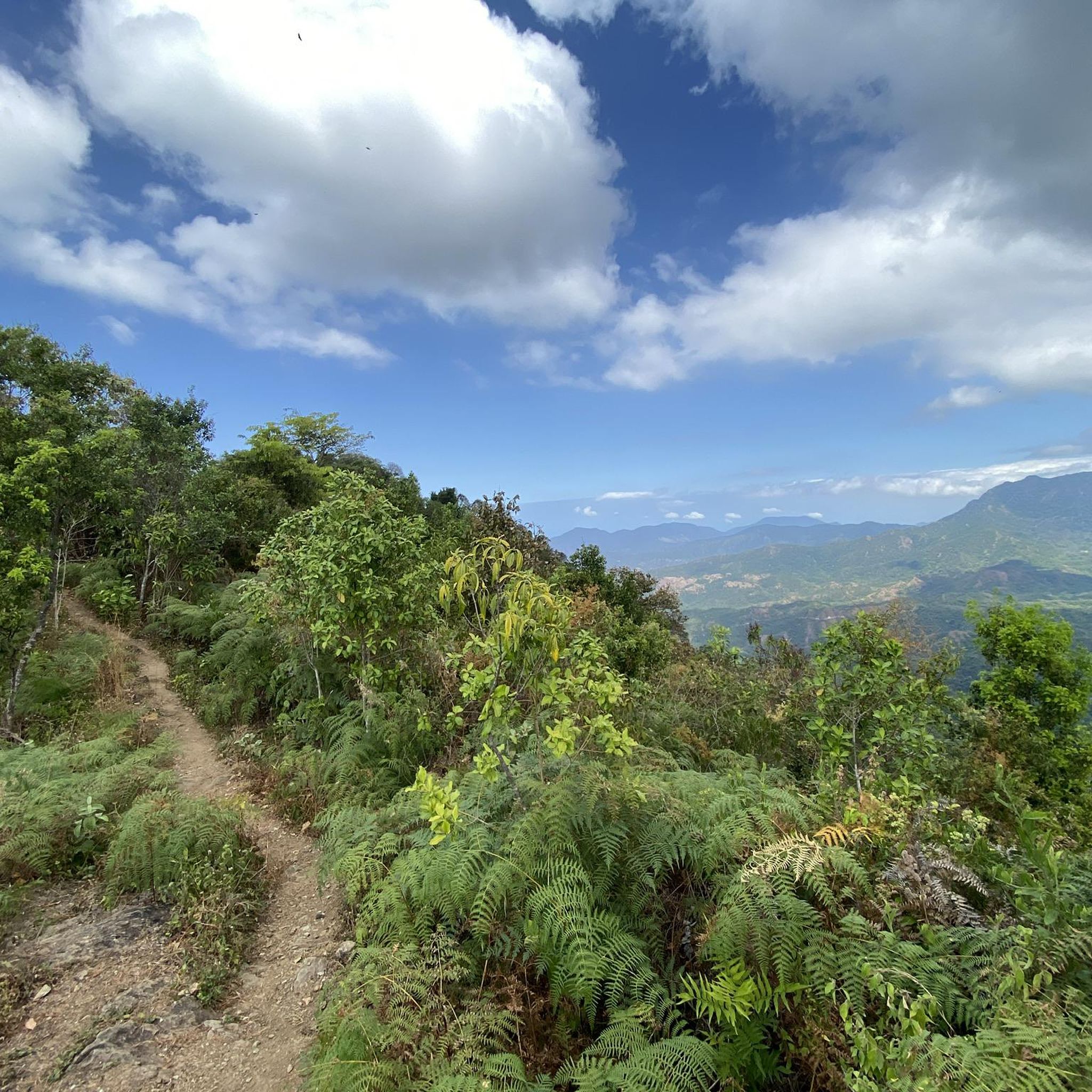
The Sierra Nevada de Santa Marta offers incredibly diverse terrain for runners. You can find routes ranging from hot-dry coastal scrub near the Caribbean Sea to cooler, higher-elevation cloud forests and even páramos. This unique geography means you can experience everything from sea-level runs to challenging ascents through tropical forests.
Are there any easy running trails suitable for beginners or a relaxed jog?
Yes, the region offers several easy running trails. For a relaxed run with minimal elevation gain, consider the El Rodadero loop from Edificio Playamar, which is about 3.1 miles (5.0 km). Another accessible option is the Playa Salguero loop from Berlinastur, covering around 4.7 km.
Where can I find routes with scenic viewpoints or natural landmarks?
Many routes in the Sierra Nevada de Santa Marta offer stunning views. For panoramic vistas, trails around Minca often provide sweeping views of the tropical forests. The region is also rich in natural features like rivers and waterfalls. You might encounter highlights such as the Second Marinka waterfall or the Blue Pool, which are popular attractions in the area.
What are the options for more challenging or longer running routes?
For experienced trail runners seeking a challenge, the Sierra Nevada de Santa Marta has several difficult routes. The Aguacate loop from Playa Mendihuaca is a demanding 55 km trail with significant elevation gain. Another option for a longer, difficult run is the Ziruma – Parque público loop from Santa Marta, which spans nearly 20 km.
Are there any circular running routes in the Sierra Nevada de Santa Marta?
Yes, many of the running routes in the Sierra Nevada de Santa Marta are circular, allowing you to start and finish at the same point. Examples include the popular Parque público – Ziruma loop from Santa Marta and the Running loop from Palomino, which takes you through coastal areas.
What do other runners say about the trails in Sierra Nevada de Santa Marta?
The running routes in Sierra Nevada de Santa Marta are highly regarded by the komoot community, boasting an average rating of 4.8 out of 5 stars from over 10 reviews. Runners frequently praise the diverse landscapes, from coastal views to lush tropical forests, and the variety of routes suitable for different fitness levels.
Can I find running routes near specific towns like Palomino or Minca?
Absolutely. Towns like Palomino and Minca serve as excellent bases for exploring the region's trails. For instance, you can find the Running loop from Palomino, which explores coastal and local landscapes. Minca, known for its cool climate and waterfalls, offers numerous trails through tropical forests, though specific komoot running routes from Minca are not listed here, it's a great area for exploration.
Are there any historical or cultural sites I can see while running?
While many routes focus on natural beauty, the region is rich in history. The ancient Lost City (Ciudad Perdida) is a significant archaeological site, though reaching it involves a multi-day trek rather than a typical run. However, the general area's cultural heritage is palpable, especially in towns and villages near the trails.
What is the best time of year to go running in the Sierra Nevada de Santa Marta?
The Sierra Nevada de Santa Marta experiences varying climates due to its altitude changes. Generally, the dry season (roughly December to March) is often preferred for outdoor activities, offering clearer skies and more stable trail conditions. However, the diverse ecoregions mean you can find suitable running conditions year-round, depending on the specific altitude and area you choose.
Are there running routes that offer views of the Caribbean Sea?
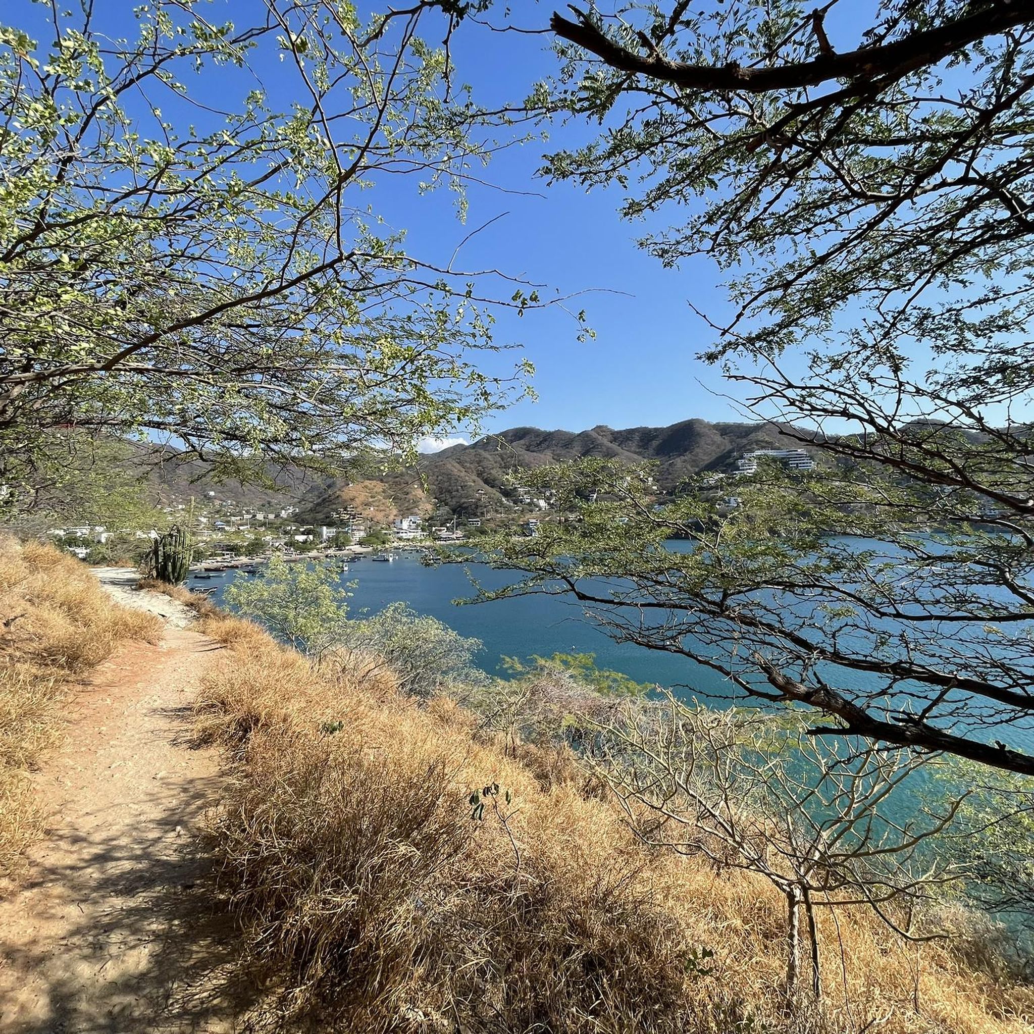
Yes, given the Sierra Nevada's unique position as the world's highest coastal mountain range, many routes offer stunning views of the Caribbean Sea. Trails near Palomino and Santa Marta, such as the Mirador de Taganga – Bahía de Santa Marta loop from Taganga, provide excellent opportunities to combine your run with ocean vistas.
What are the typical distances for running routes in this region?
Running routes in the Sierra Nevada de Santa Marta vary significantly in distance. You can find shorter, easy runs around 3-5 km, such as the El Rodadero loop from Edificio Playamar. Moderate routes often range from 9-12 km, like the Parque público – Ziruma loop from Santa Marta. For those seeking longer distances, there are challenging routes exceeding 19 km, such as the Running loop from Playa Mendihuaca.
Most popular routes in the Sierra Nevada de Santa Marta
Most popular attractions in the Sierra Nevada de Santa Marta

Get inspired with the komoot mobile app


