The best road cycling routes in the Sierra Nevada de Santa Marta
4.8
(34)
775
riders
13
rides
Road cycling in the Sierra Nevada de Santa Marta offers diverse landscapes, from the Caribbean coast to high mountain elevations. The region is characterized by dramatic altitudinal zonation, encompassing tropical dry forests, montane forests, and cloud forests, providing varied riding conditions. Cyclists encounter challenging mountainous terrain with significant elevation gains, including climbs of over 3,000 feet, and routes that transition from well-paved surfaces to unpaved segments. The small eco-village of Minca serves as a central hub for many cycling routes,…
Last updated: July 3, 2026
5.0
(1)
179
riders
69.2km
03:41
930m
930m
Hard road ride. Very good fitness required. Some segments of this route may be unpaved and difficult to ride.
144
riders
42.4km
01:50
250m
250m
Moderate road ride. Great for any fitness level. Some segments of this route may be unpaved and difficult to ride.

Sign up for free
5.0
(1)
78
riders
85.8km
04:59
1,560m
1,560m
Hard road ride. Very good fitness required. Some segments of this route may be unpaved and difficult to ride.
5.0
(5)
78
riders
72.3km
04:32
1,650m
1,650m
Hard road ride. Very good fitness required. Some segments of this route may be unpaved and difficult to ride.
4.8
(8)
70
riders
68.0km
03:15
840m
840m
Moderate road ride. Good fitness required. Mostly well-paved surfaces and easy to ride.
4.3
(14)
62
riders
32.8km
02:02
690m
690m
Moderate road ride. Good fitness required. Mostly well-paved surfaces and easy to ride.
42
riders
90.0km
04:36
1,480m
1,480m
Hard road ride. Very good fitness required. Mostly well-paved surfaces and easy to ride.
4.0
(1)
31
riders
49.9km
02:26
740m
740m
Moderate road ride. Good fitness required. Mostly well-paved surfaces and easy to ride.
5.0
(3)
18
riders
43.0km
03:10
1,380m
1,380m
Hard road ride. Very good fitness required. Some segments of this route may be unpaved and difficult to ride.
5.0
(1)
17
riders
26.9km
01:05
120m
120m
Easy road ride. Great for any fitness level. Mostly well-paved surfaces and easy to ride.
Get access to more routes and recommendations from other explorers.
Sign up for free
Already have an account?
Our route recommendations are based on thousands of hikes, rides, and runs completed by other people on komoot.
Start today with a free account
Your next adventure awaits.
Login or Signup
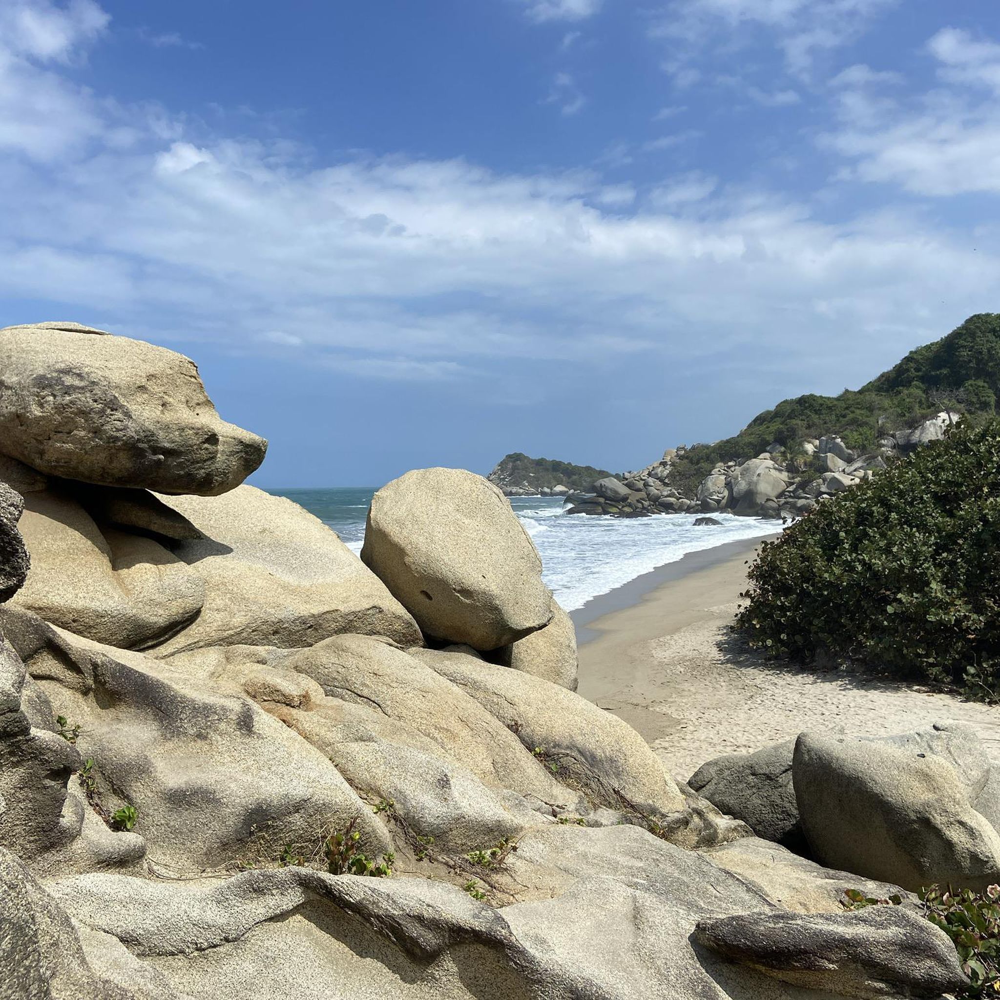
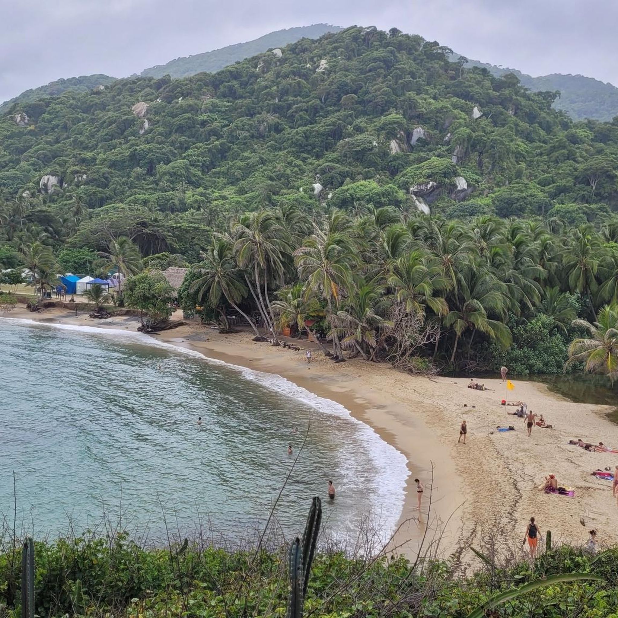
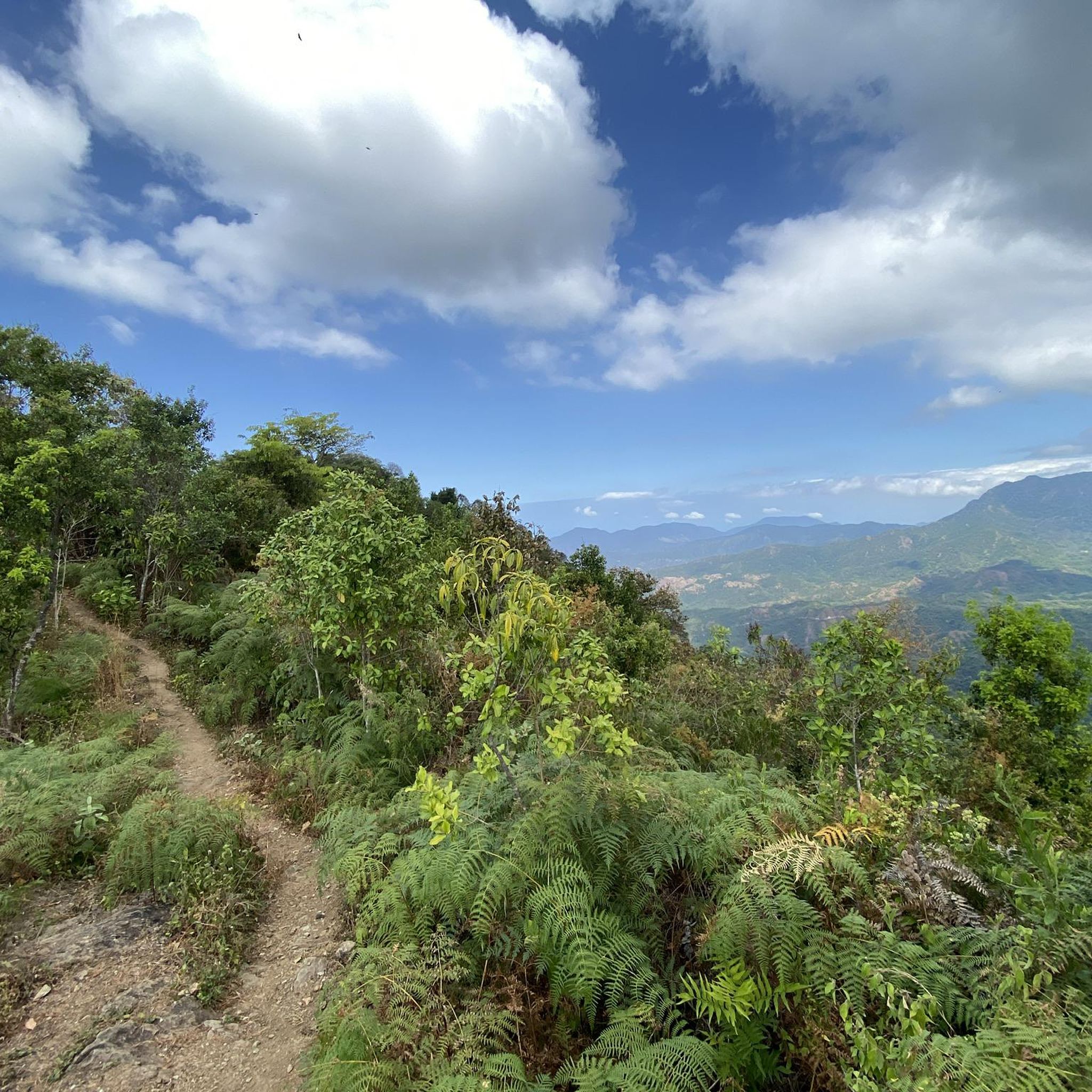
Tips from the Community

El Campano is a village that sits at an altitude of approximately 1280 meters. It's an ideal starting point for venturing into the lush nature that surrounds you.
0
0

Minca is a small eco-village in the foothills of the Sierra Nevada de Santa Marta, known for its cool climate, rivers and waterfalls like Pozo Azul and Marinka, and trails offering sweeping views of Santa Marta. It's an ideal destination for leisurely hikes through tropical forest, with options to visit coffee and cacao farms. Wear comfortable shoes and bring water, as many trails start from the village and have wet or steep sections.
0
0

A complete tour of the park in 2 nights, 2 days, costs approximately 120,000 COP in entrance fees (park, insurance, trail maintenance) per person. Travel light. Accommodation can be found locally (campsites) or on Booking.com (even small campsites are listed). It's very beautiful, but quite crowded, except for the first section near the entrance to Calabazzo.
0
0


above, on the street, there is a small cafe. There are homemade, fresh pastries (e.g. fresh bread with chocolate from local cocoa farmers), great jugos and self-made jewelry.
1
0
A small hiking trail leads down to the stream. The crystal clear water is refreshing and you can refresh yourself well. To get to the small waterfall you have to cross the stream (the bridge washed it away) and climb a bit.
1
0


climb at your own pace and you will arrive without getting off the bike
0
0
Frequently Asked Questions
What kind of terrain can I expect on road cycling routes in the Sierra Nevada de Santa Marta?
The Sierra Nevada de Santa Marta offers incredibly diverse terrain. You'll experience dramatic altitudinal changes, from hot, dry lowlands to cooler montane and cloud forests. Routes often feature significant elevation gains, with some segments being well-paved and others potentially unpaved and challenging, providing a constantly changing backdrop and varied riding conditions.
Are there road cycling routes suitable for beginners, or are they all very challenging?
While the region is known for its challenging mountainous terrain, there are options for various ability levels. The komoot community has identified 4 easy routes and 4 moderate routes, alongside 5 difficult ones. An example of an easier route is the Minca Ecological Capital loop from Simón Bolívar International Airport, which covers 26.9 km with a relatively low elevation gain.
How challenging are the climbs in the Sierra Nevada de Santa Marta?
The climbs in the Sierra Nevada de Santa Marta can be very demanding, often involving significant elevation gains. Some routes feature climbs of over 3,000 feet (900 meters), with one notable route gaining almost 1,800 meters over 31 kilometers. For instance, the Minca – Hidden Waterfall loop from Quinta de San Pedro Alejandrino includes over 5,100 feet (1,500 meters) of elevation gain.
What natural attractions can I see while road cycling in the Sierra Nevada de Santa Marta?
As you cycle, you can encounter stunning natural features. The area around Minca is particularly rich, with waterfalls like Second Marinka waterfall and Blue Pool. The diverse ecosystems also mean you'll pass through tropical dry forests, montane forests, and cloud forests, offering lush vegetation and unique landscapes.
Are there any cultural sites or unique experiences along the cycling routes?
Yes, the region offers opportunities for cultural immersion. Minca, a popular cycling hub, is known for its coffee and cacao farms, where you can experience local production. The Sierra Nevada is also home to four indigenous communities, and while cycling, you may pass through areas that offer a glimpse into their way of life and deep connection to the land.
What kind of panoramic views can I expect on these routes?
Cyclists are rewarded with spectacular panoramic views as they ascend the Sierra Nevada. On clear days, you can often see Santa Marta, Ciénaga, and even Barranquilla, with vistas stretching from the Caribbean Sea to the snow-capped summits of the mountains. The rapid change in elevation ensures constantly evolving and breathtaking scenery.
Is Minca a good starting point for road cycling routes?
Yes, the small eco-village of Minca is a very popular starting point or destination for many road cycling routes. It's renowned for its cooler climate, rivers, and waterfalls, making it an excellent base for exploring the surrounding mountainous terrain and enjoying scenic stops.
Are there any circular road cycling routes available?
Many of the road cycling routes in the Sierra Nevada de Santa Marta are designed as loops, allowing you to start and end in the same location. Examples include the Minca – Hidden Waterfall loop from Simón Bolívar International Airport and the Minca Ecological Capital loop from Terminal Intermedia de Gaira.
What are the typical durations for road cycling routes in the Sierra Nevada de Santa Marta?
Route durations vary significantly based on distance and difficulty. For example, a moderate route like the Minca Ecological Capital loop from Terminal Intermedia de Gaira typically takes around 1 hour 53 minutes, while a difficult route such as the Minca – Hidden Waterfall loop from Simón Bolívar International Airport can take approximately 3 hours 45 minutes.
When is the best time of year to go road cycling in the Sierra Nevada de Santa Marta?
Due to the region's dramatic altitudinal zonation and microclimates, conditions can vary. Generally, the dry season (roughly December to March) offers more stable weather for cycling, with less rain and clearer skies for panoramic views. However, the cooler mountain air at higher elevations can be pleasant year-round.
What kind of wildlife might I encounter while cycling?
The Sierra Nevada de Santa Marta is a biodiversity hotspot. While cycling, you might spot a wide array of bird species (over 600 in the region), and potentially hear or see howler monkeys. Keep an eye out for the vibrant natural environment that supports numerous endemic species.
What do other cyclists say about road cycling in the Sierra Nevada de Santa Marta?
The road cycling routes in the Sierra Nevada de Santa Marta are highly rated by the komoot community, with an average score of 4.7 stars from over 30 reviews. Cyclists often praise the challenging climbs, the diverse ecosystems, and the breathtaking vistas that stretch from the Caribbean Sea to the snowy peaks.
Most popular routes in the Sierra Nevada de Santa Marta
Most popular attractions in the Sierra Nevada de Santa Marta

Get inspired with the komoot mobile app


