The best running trails around Agliana
4.3
(8)
353
runners
24
runs
Jogging around Agliana offers a blend of urban green spaces and natural landscapes. The region features accessible trails through areas like Parco Sandro Pertini, a substantial park with a lake. Beyond the town, the Montalbano woods provide natural wooded areas, while nearby lakes such as Zela and Bigiana offer serene settings for outdoor exercise. The terrain ranges from flat paths suitable for easy runs to more challenging routes with some elevation gain.
Best jogging routes around Agliana
- The most popular…
Last updated: June 26, 2026
4.5
(2)
49
runners
10.3km
01:04
10m
10m
Moderate run. Good fitness required. Mostly paved surfaces. Suitable for all skill levels.
18
runners
9.14km
00:57
30m
30m
Moderate run. Good fitness required. Mostly paved surfaces. Suitable for all skill levels.

Sign up for free
16
runners
21.5km
02:23
340m
340m
Hard run. Very good fitness required. Mostly paved surfaces. Suitable for all skill levels.
12
runners
10.3km
01:04
10m
10m
Moderate run. Good fitness required. Mostly paved surfaces. Suitable for all skill levels.
4.5
(2)
10
runners
6.73km
00:42
10m
10m
Moderate run. Good fitness required. Mostly paved surfaces. Suitable for all skill levels.
Get access to more routes and recommendations from other explorers.
Sign up for free
Already have an account?
Our route recommendations are based on thousands of hikes, rides, and runs completed by other people on komoot.
Start today with a free account
Your next adventure awaits.
Login or Signup
Tips from the Community

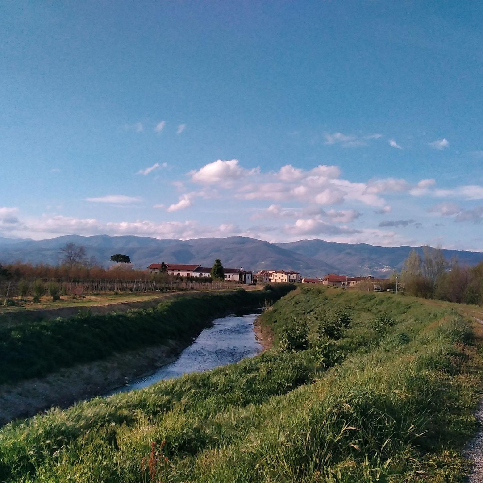
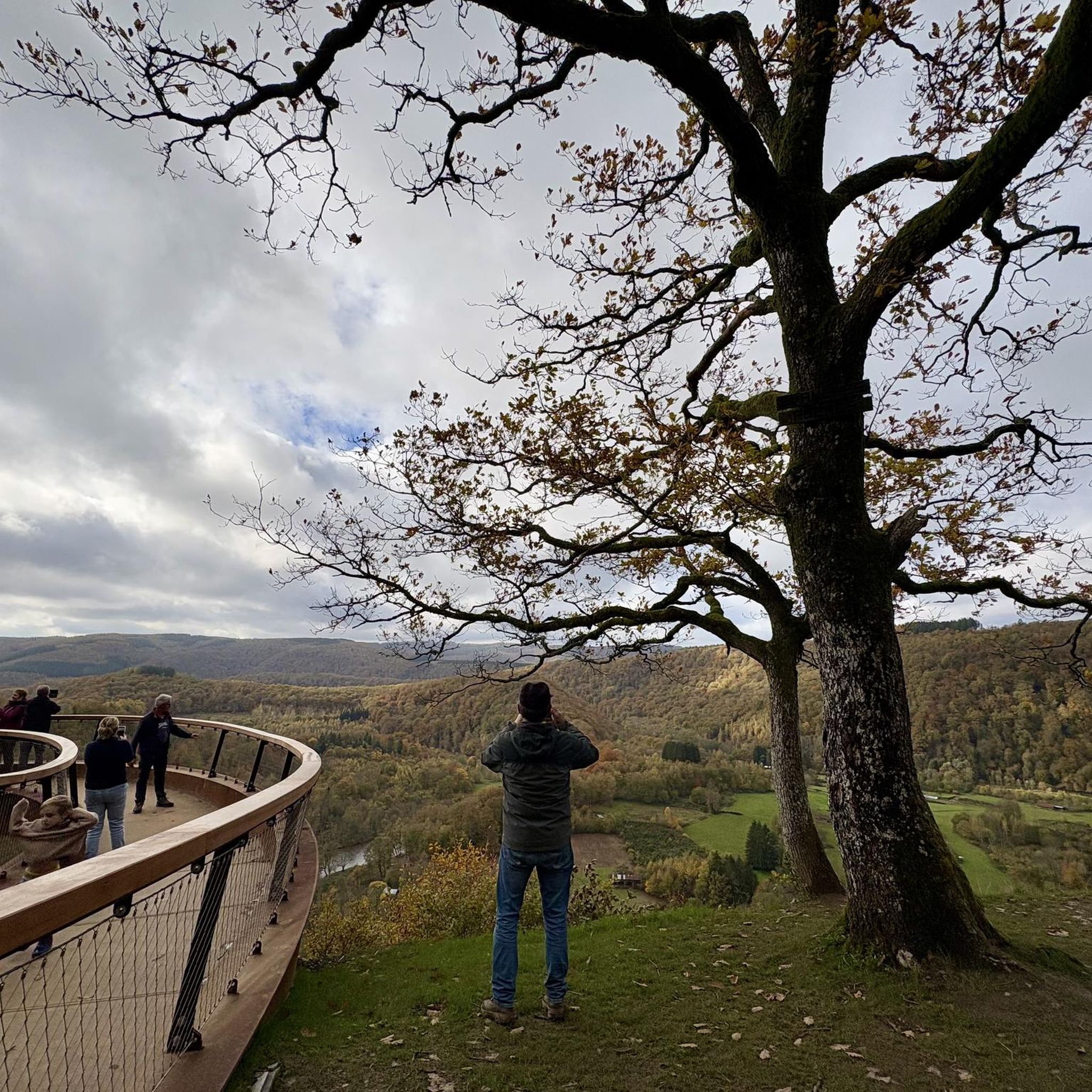
On the hilly road that climbs from Montale towards the hamlet of Tobbiana (Pistoia), the main and most famous panoramic point is the Vista Panoramica da Montale Alto. Climbing the hill along the asphalt road that crosses Fognano before reaching Tobbiana, you will encounter several exceptional viewpoints and rest areas.
0
0
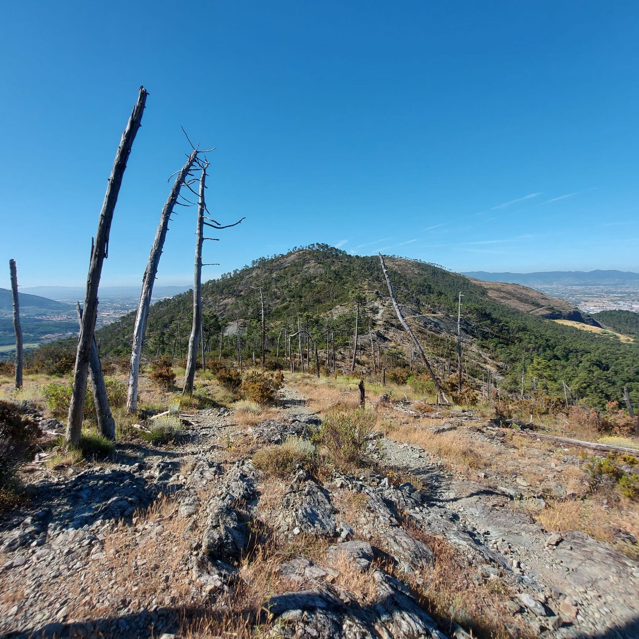
a characteristic mountain hamlet located on the Pistoiese Apennines, along the road leading to Cascina di Spedaletto. The Church of San Michele Arcangelo, the village's reference building. The Pro Loco Tobbiana, which organizes historical and gastronomic events, including the well-known itinerant dinner "Passaggiando – Vie e sapori di Tobbiana". Wooded paths ideal for trekking and nature hiking
0
0

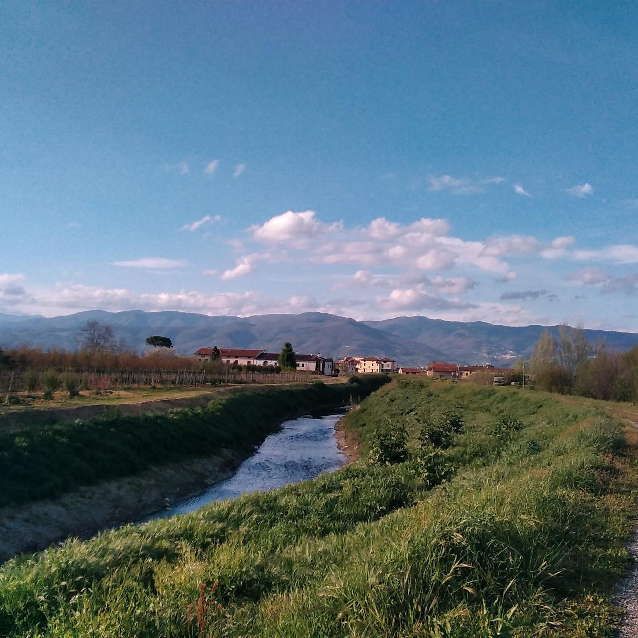
Piazza Giacomo Matteotti is the central square and the nerve center of the municipality of Montale, in the province of Pistoia. [1, 2] It represents the main meeting point for the local community, surrounded by bars, commercial activities, and historical landmarks of the town. Recently, the area has undergone a significant urban redevelopment project that has enhanced its pedestrian spaces.
0
0
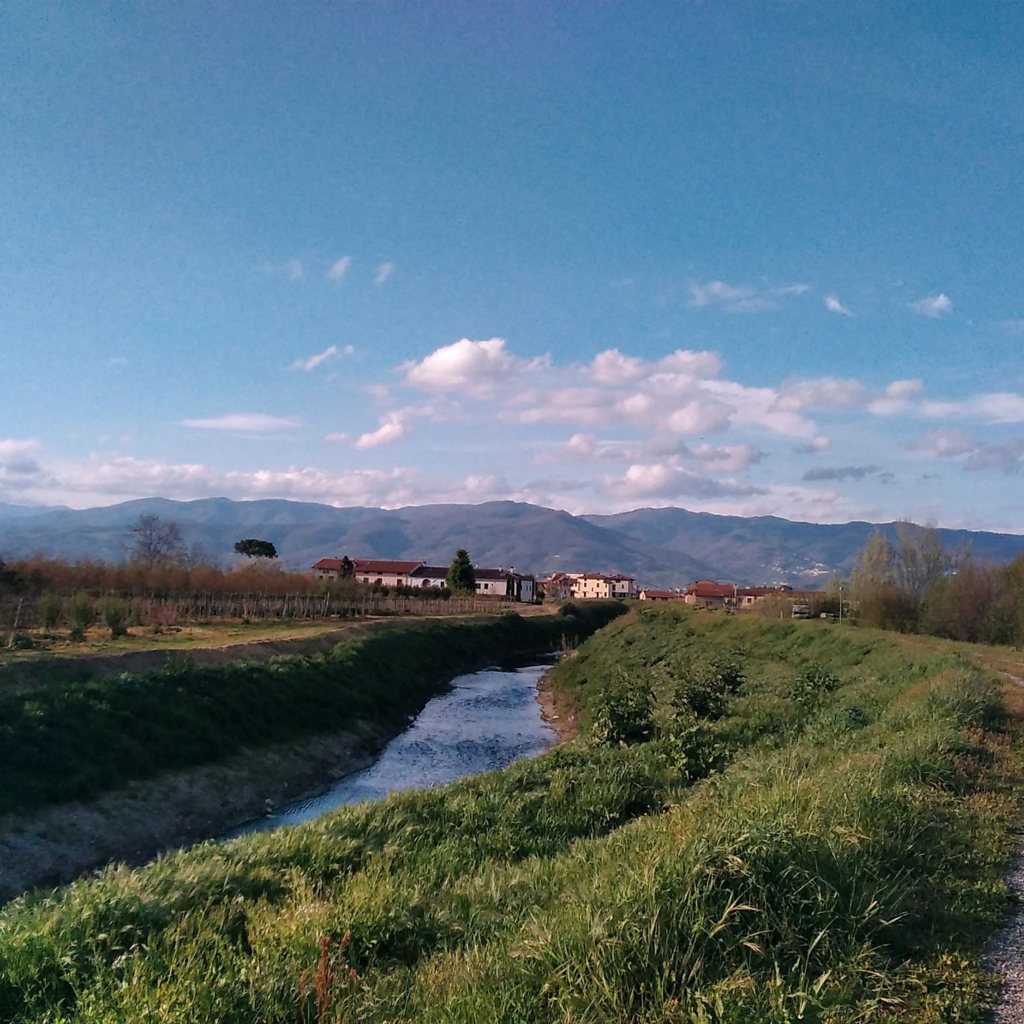
Fognano (Montale, PT): A hilly hamlet in the municipality of Montale, in Tuscany. It is located about 160 meters above sea level along the Agna stream, where there is also a renovated natural and wooded area managed by the Pro Loco.
0
0

Ponticino sull'Agna at the entrance to Fognano, connects the latter to Borgo del Carbonizzo in the municipality of Montemurlo
2
0
Frequently Asked Questions
How many running routes are available around Agliana?
There are over 25 dedicated running routes around Agliana, catering to various fitness levels. You'll find a good mix of easy, moderate, and challenging trails to explore.
Are there easy running routes suitable for beginners or a quick jog?
Yes, Agliana offers several easy running routes. For instance, the Running loop from Agliana is an easy 3.0-mile (4.9 km) trail, perfect for a quick run or those just starting out. There are at least two easy routes in the area.
What kind of terrain can I expect on the running trails in Agliana?
The terrain around Agliana is quite varied. You'll find flat paths through urban green spaces like Parco Sandro Pertini, as well as more natural wooded areas in the Montalbano woods. Some routes, particularly the more difficult ones, will include significant elevation changes, offering a good challenge for experienced runners.
Are there any running routes that offer scenic views or pass by natural landmarks?
Absolutely. Many routes provide picturesque settings. For example, the View of Tobbiana loop from Agliana offers expansive scenic views. You can also find trails near the serene lakes of Zela and Bigiana, which are habitats for diverse bird species, or explore the Montalbano woods, home to the intriguing Devil's Boulder.
Can I find circular running routes in Agliana?
Yes, many of the running routes in Agliana are designed as loops, allowing you to start and finish in the same location. Examples include the Limonaia di Villa Baldi loop from Agliana and the Running loop from Agliana.
What do other runners say about the trails in Agliana?
The running routes in Agliana are highly rated by the komoot community, with an average score of 4.3 stars from over 10 reviews. Runners often praise the blend of urban green spaces and accessible natural paths, noting the variety of options for different ability levels.
Are there any family-friendly running options in Agliana?
For families, the easier, flatter routes through urban parks like Parco Sandro Pertini are ideal. These areas often have well-maintained paths and open spaces, making them suitable for a leisurely run or walk with children. Look for routes labeled 'easy' for the most family-friendly experience.
Are the running trails in Agliana dog-friendly?
While specific regulations can vary, many natural trails and open spaces in Italy are generally dog-friendly, especially if your dog is on a leash. It's always a good idea to check local signage in parks or nature reserves. The varied terrain, from urban parks to wooded areas, offers plenty of options for running with your canine companion.
What are some notable attractions or landmarks near the running routes?
Beyond the natural beauty, you can find interesting spots. For instance, the Montalbano woods feature the unique CAI Trail 10 in Monteferrato. Other highlights in the broader area include mountain passes like Passo degli Acquiputoli, offering additional points of interest for exploration.
Is parking available near the running trails in Agliana?
Yes, for many routes, especially those starting from urban centers or popular parks like Parco Sandro Pertini, you will typically find public parking options nearby. For trails venturing into more natural or remote areas, it's advisable to check the specific route details on komoot for suggested starting points and parking availability.
What is the best time of year to go running in Agliana?
Spring and autumn generally offer the most pleasant running conditions in Agliana, with mild temperatures and beautiful scenery. Summer can be warm, so early mornings or late evenings are preferable, especially for shaded routes. Winters are typically mild, but some trails might become muddy after rain, particularly in natural wooded areas.
Are there any challenging running routes for experienced runners?
Yes, for those seeking a greater challenge, Agliana offers routes with significant elevation gain. The View of Tobbiana loop from Agliana is a difficult 13.3-mile (21.4 km) path with substantial elevation changes, making it ideal for experienced runners looking for a demanding workout.
Most popular attractions around Agliana

Get inspired with the komoot mobile app


Explore more
Browse the best Running Trails & Routes in other regions.
