The best gravel rides around Agliana
4.6
(11)
144
riders
35
rides
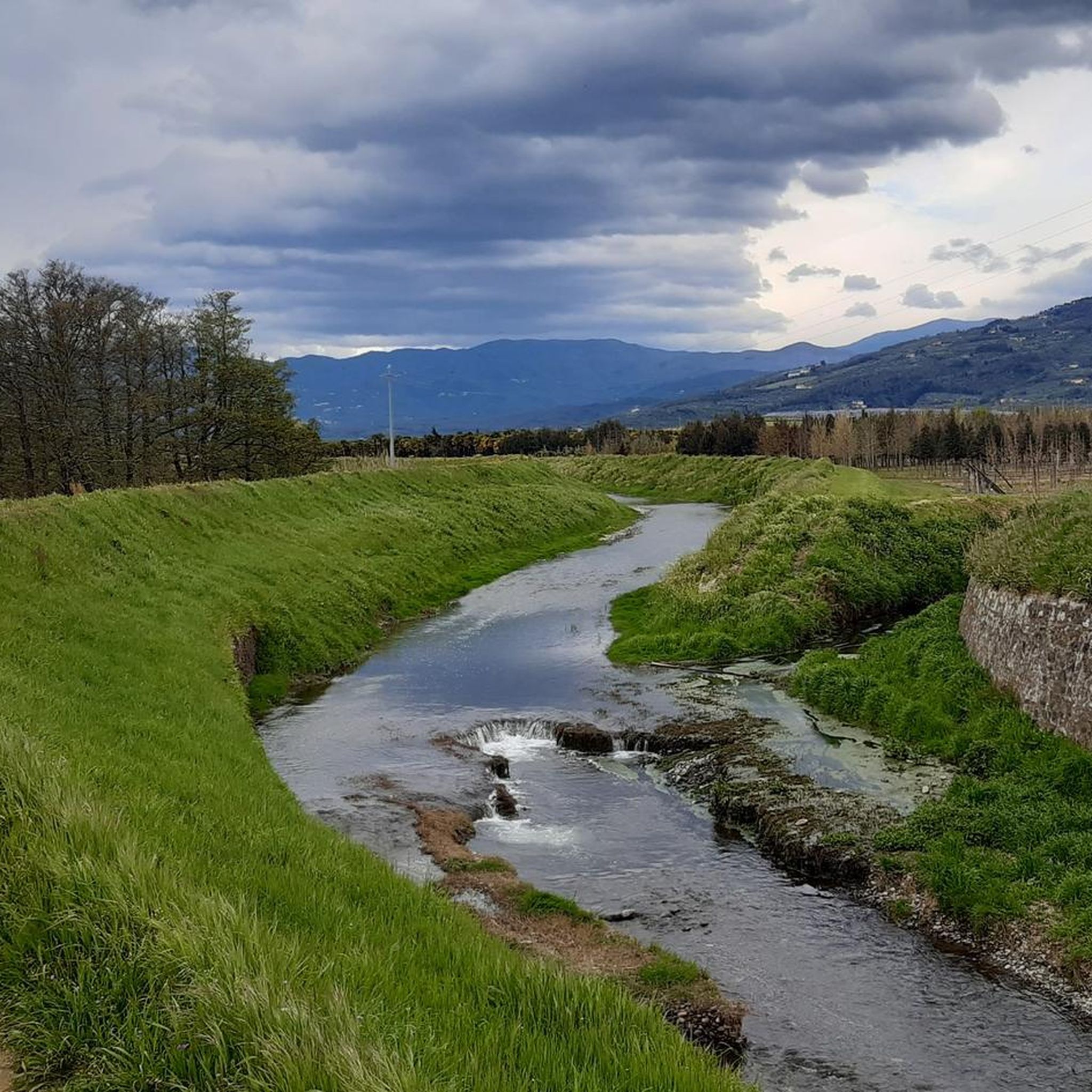
Gravel biking around Agliana, situated in Tuscany, Italy, offers diverse landscapes ranging from river valleys to challenging mountain terrain. The region is characterized by its network of streams like the Bure, Calice, Ombrone, and Brana, which define scenic routes. Riders encounter a mix of flat plains, rolling hills, and the more rugged ascents of the Pistoia Apennines, providing varied experiences for different fitness levels.
Best gravel bike trails around Agliana
- The most popular gravel bike trail is Prunetta – Piazza…
Last updated: July 8, 2026
7
riders
43.3km
03:24
770m
770m
Hard gravel ride. Very good fitness required. Mostly paved surfaces. Suitable for all skill levels.
5.0
(1)
9
riders
53.5km
04:18
1,300m
1,300m
Hard gravel ride. Very good fitness required. Mostly paved surfaces. Suitable for all skill levels.

Sign up for free
5.0
(2)
17
riders
26.9km
01:57
490m
490m
Hard gravel ride. Very good fitness required. Mostly paved surfaces. Suitable for all skill levels.
11
riders
62.3km
05:05
1,340m
1,340m
Hard gravel ride. Very good fitness required. Mostly paved surfaces. Suitable for all skill levels.
7
riders
59.8km
05:21
1,430m
1,430m
Hard gravel ride. Very good fitness required. Mostly paved surfaces. Suitable for all skill levels.
Get access to more routes and recommendations from other explorers.
Sign up for free
Already have an account?
Our route recommendations are based on thousands of hikes, rides, and runs completed by other people on komoot.
Start today with a free account
Your next adventure awaits.
Login or Signup
Tips from the Community

The cycle and pedestrian bridge over the Bisenzio located in the Gonfienti area (on the border between Prato and Campi Bisenzio) is a key infrastructure that connects the cycle path along the river and unites the archaeological site of Gonfienti with the Interporto della Toscana Centrale. The area is located on the eastern outskirts of Prato, near the confluence of the Marinella stream into the Bisenzio. The bridge is easily reached from viale Alcide De Gasperi, shortly after Ponte Petrino
0
0
The cypresses of Monte Buriano are located in the hilly and mountainous area overlooking Montemurlo, in the province of Prato, along the paths that connect the Val di Bisenzio and the Monteferrato massif. The municipality of Montemurlo is famous for hosting the largest number of monumental trees registered in Tuscany, with historic specimens and protected rows that enrich the nature trails and historic estates in the area.
0
0
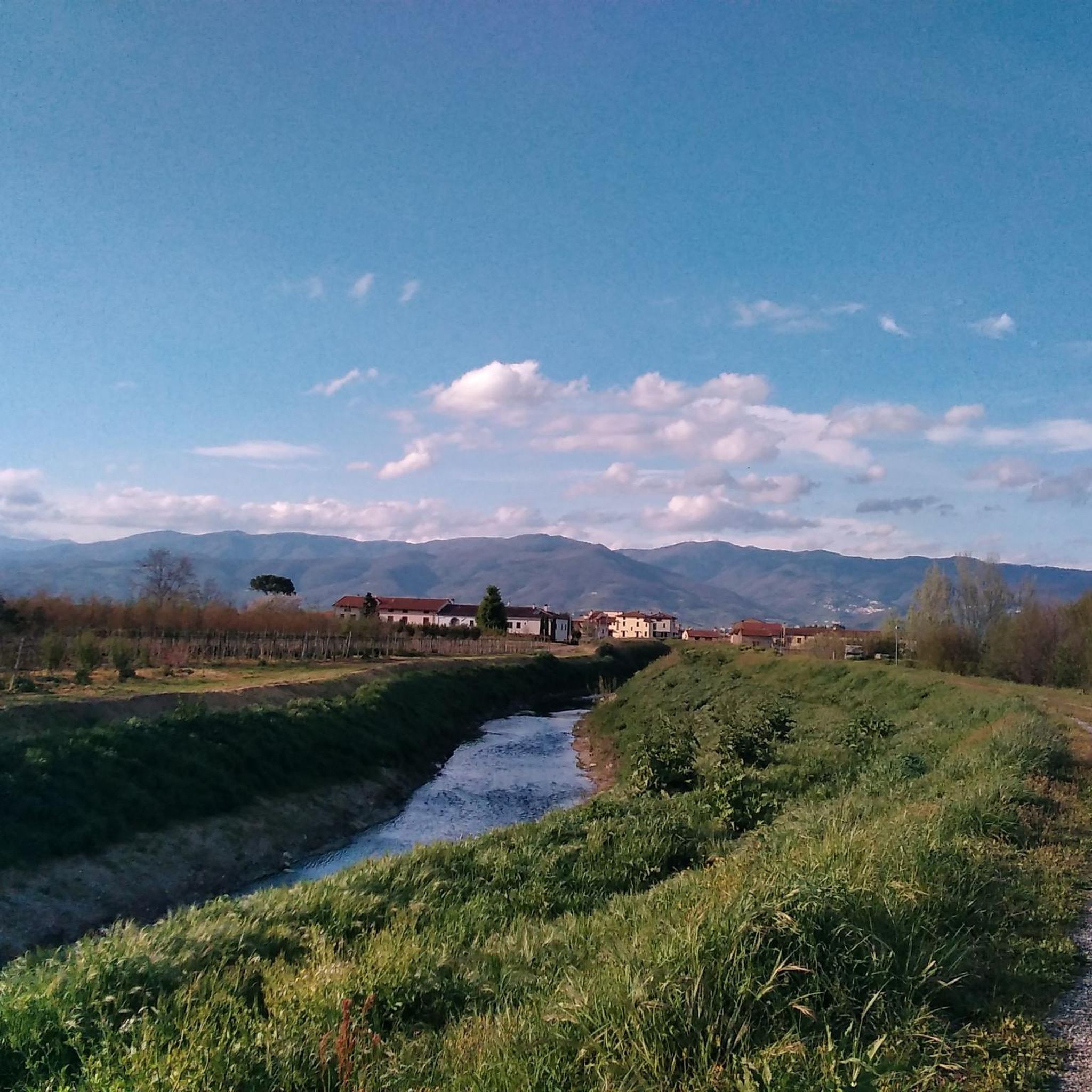
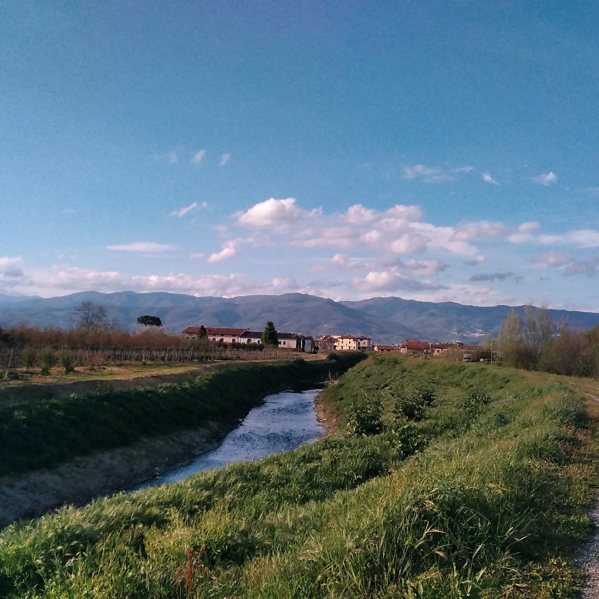
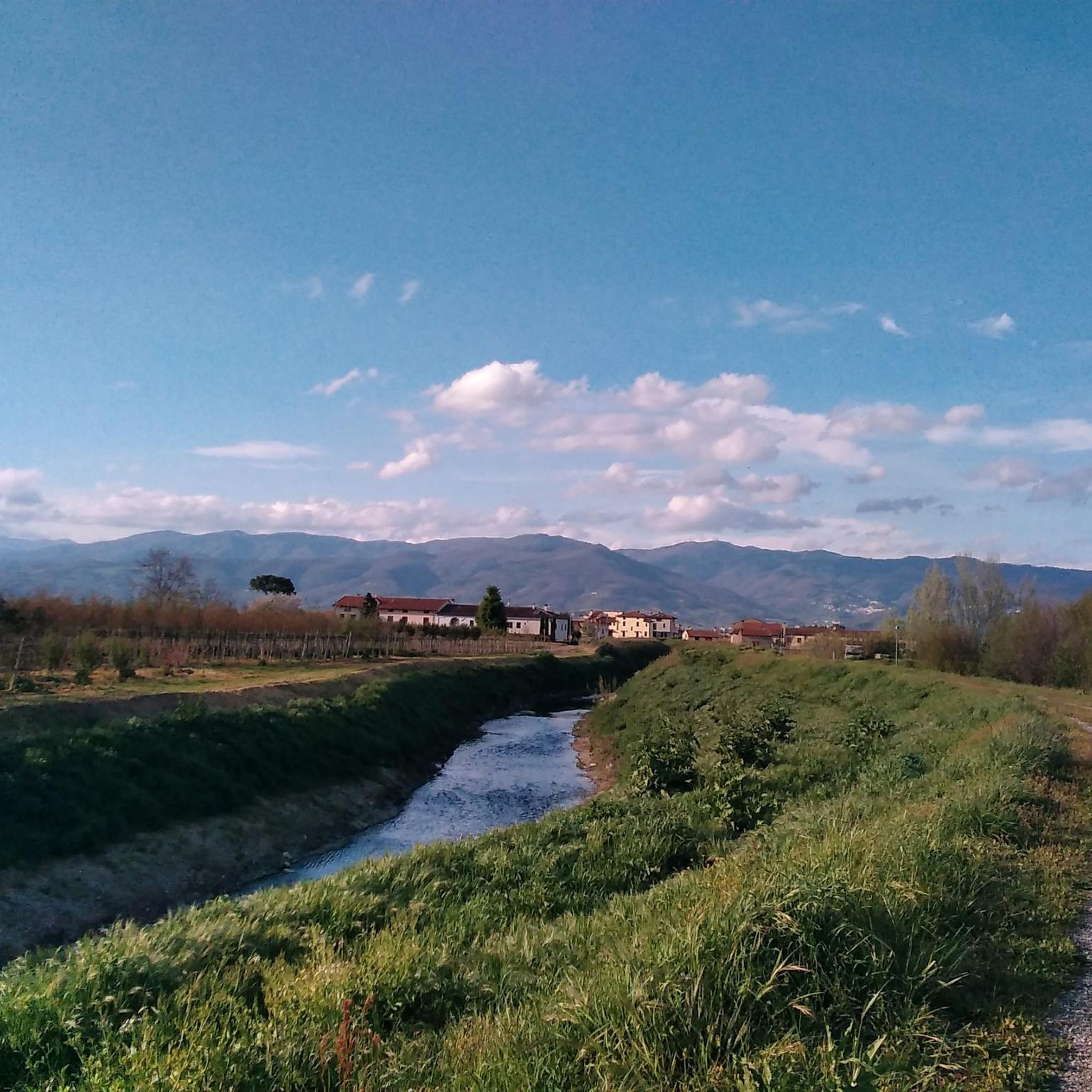
The cycle path in the Bagnolo (Prato) and Montemurlo area you are referring to is part of the new route of the Ciclovia del Sole. It is a cycle and pedestrian infrastructure that crosses the green area of the plain and develops parallel to the banks and the redeveloped areas of the Ficarello stream.
0
0
The Gino Bartali cycle path is a charming, flat, and safe route along the Bisenzio river in Prato. Ideal for urban commuting and excursions, it extends for over 30 km in total, connecting to the nearby Fausto Coppi cycle path towards the Val di Bisenzio. The route starts from the Petrino bridge area, runs along the river, crosses the historic center of Prato skirting the old walls, and continues south to the Gonfienti archaeological area. It is a perfect itinerary for families and nature lovers, completely separated from car traffic. Near viale Galilei, you will find numerous refreshment points and green areas for a break.
0
0
Prunetta is a characteristic mountain hamlet located at almost 1,000 meters above sea level in the municipality of San Marcello Piteglio, within the evocative Montagna Pistoiese in Tuscany. The village has about 300 inhabitants and is a place known for summer tourism, trekking, and its particular geographical position.
0
0
The Municipality of Montemurlo is located in Piazza della Repubblica 1, in the city center of the plain in the province of Prato. The Historic Tower, commonly identified with the ancient keep of the Rocca (or Castle of Montemurlo), stands instead at about 200 meters altitude on the hill above. It visually dominates the entire plain between Prato, Florence and Pistoia.
0
0

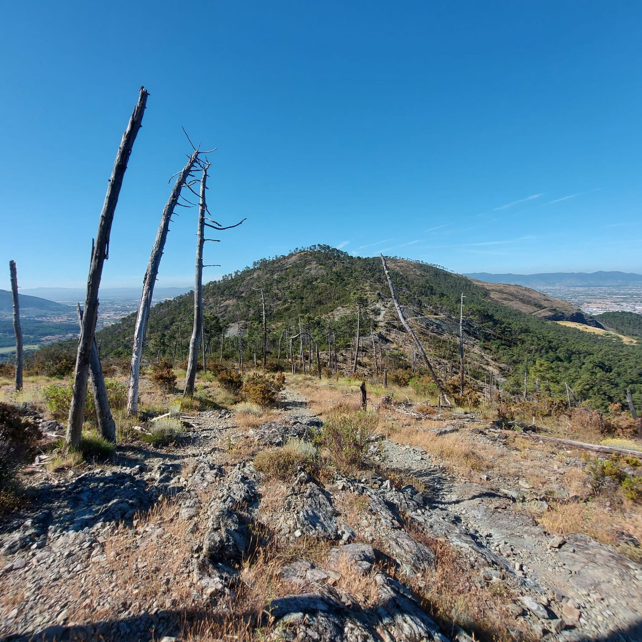
Quiet stretch in the woods except for 2/3 rocky points that are passable on the descent, while on the climb it is pushing.
0
0

Frequently Asked Questions
How many gravel bike trails can I explore around Agliana?
Agliana offers a wide variety of gravel biking experiences, with over 50 trails available. These routes cater to different skill levels, from easy loops along river valleys to challenging climbs in the Pistoia Apennines.
What kind of terrain can I expect on Agliana's gravel bike trails?
The terrain around Agliana is quite diverse. You'll find a mix of flat plains, rolling hills, and more rugged ascents, especially as you head towards the Pistoia Apennines. Many routes follow river valleys like the Bure, Calice, Ombrone, and Brana, offering scenic rides.
Are there any easy gravel bike trails suitable for beginners or families?
Yes, Agliana has several easy gravel routes perfect for beginners or families. For instance, the Tigliano Bridge – Alfredo Binda Cycle Path loop from Carmignano is an easy 25.6 km trail with minimal elevation gain, leading through the scenic Valle dell'Agna.
What are some of the more challenging gravel biking routes in the Agliana area?
For experienced riders seeking a challenge, Agliana offers demanding routes with significant elevation. The Javello Climb – Passo delle Cavallaie loop from Prato Porta al Serraglio is a long and demanding 64.5 km ride with over 1,350 meters of elevation gain. Another challenging option is the Alfredo Binda Cycle Path – Javello Climb loop from Galciana, which covers 28.1 km with nearly 500 meters of climbing.
When is the best time of year to go gravel biking in Agliana?
Spring (April-May) and Autumn (September-October) are generally the best seasons for gravel biking in Agliana. The weather is typically mild and pleasant, making for comfortable riding conditions. Summers can be hot, especially in the plains, while winter rides might be cooler, particularly in the higher elevations of the Apennines.
Are there any circular gravel bike routes available?
Many of the gravel bike trails around Agliana are designed as loops, allowing you to start and finish at the same point. Examples include the Prunetta – Piazza del Duomo of Pistoia loop from Pistoia and the Torrente Bure di Baggio – View of Pistoia from Germinaia loop from Chiesina Montalese, offering convenient circular journeys.
What interesting landmarks or natural features can I see along the gravel trails?
Agliana's gravel trails often pass by notable natural and historical sites. You might encounter the unique sandstone monolith of the Devil’s Rock (Pietramarina) in the Montalbano woods, or enjoy panoramic views from Croce della Retaia over the Florentine plain. The region also features the Querciola Nature Protected Area, known for its birdlife.
Are there any castles or historical sites accessible from the gravel routes?
Yes, the area around Agliana is rich in history. While riding, you might find yourself near historical sites like the Emperor's Castle or the Villa Smilea. Some routes also offer views from places like the Rocca di Carmignano.
What do other gravel bikers say about the trails in Agliana?
The gravel biking routes around Agliana are highly regarded by the komoot community, boasting an average rating of 4.4 stars from nearly 20 reviews. Over 200 gravel bikers have explored the varied terrain, often praising the diverse landscapes and the mix of challenging and easy options available.
Is public transport available to reach the gravel trails around Agliana?
Agliana is well-connected within Tuscany. While specific public transport options directly to trailheads may vary, you can typically reach Agliana by train or bus, and then access many routes from the town center or nearby villages. It's advisable to check local bus schedules for connections to more remote starting points.
Are there any specific regulations or permits required for gravel biking in the Agliana region?
Generally, no specific permits are required for gravel biking on public trails and roads in the Agliana region. However, always respect private property, follow local signage, and adhere to any rules posted within nature reserves or protected areas like the Querciola Nature Protected Area.
Can I find places to eat or drink near the gravel bike trails?
Being in Tuscany, you'll find various cafes, restaurants, and trattorias in Agliana and the surrounding towns and villages. Many routes pass through or near these settlements, offering opportunities to refuel with local cuisine or grab a coffee. It's a good idea to plan your stops in advance, especially on longer or more remote routes.
Most popular attractions around Agliana

Get inspired with the komoot mobile app


Explore more
Browse the best Gravel rides in other regions.
