The best road cycling routes around Agliana
4.3
(626)
22,431
riders
347
rides
Road cycling routes around Agliana traverse a varied landscape characterized by rolling hills and significant elevation changes, leading through both rural areas and historic towns. The region features routes that climb into mountainous terrain, offering views of valleys and distant peaks, alongside paths that connect charming villages and natural landmarks like Lake Brasimone. This area provides diverse road cycling experiences, from challenging ascents to more undulating routes through the Tuscan countryside.
Best road cycling routes around Agliana
- The most popular…
Last updated: July 8, 2026
4.5
(6)
334
riders
69.6km
03:26
1,010m
1,010m
Hard road ride. Very good fitness required. Mostly well-paved surfaces and easy to ride.
5.0
(2)
308
riders
78.1km
03:54
1,180m
1,180m
Hard road ride. Very good fitness required. Mostly well-paved surfaces and easy to ride.

Sign up for free
5.0
(1)
253
riders
Moderate road ride. Good fitness required. Mostly well-paved surfaces and easy to ride.
4.3
(4)
165
riders
86.6km
04:36
1,600m
1,600m
Hard road ride. Very good fitness required. Some segments of this route may be unpaved and difficult to ride.
4.3
(3)
178
riders
Moderate road ride. Good fitness required. Mostly well-paved surfaces and easy to ride.
Get access to more routes and recommendations from other explorers.
Sign up for free
Already have an account?
Our route recommendations are based on thousands of hikes, rides, and runs completed by other people on komoot.
Start today with a free account
Your next adventure awaits.
Login or Signup
Tips from the Community

The Towers of Serravalle Pistoiese are the most evident medieval symbols of the fortified village of Serravalle Pistoiese, located in a strategic position that historically controlled the passage between the Pistoia plain and the Valdinievole. The village is famous for its fortifications which include two main nuclei placed at the two ends of the town.
0
0

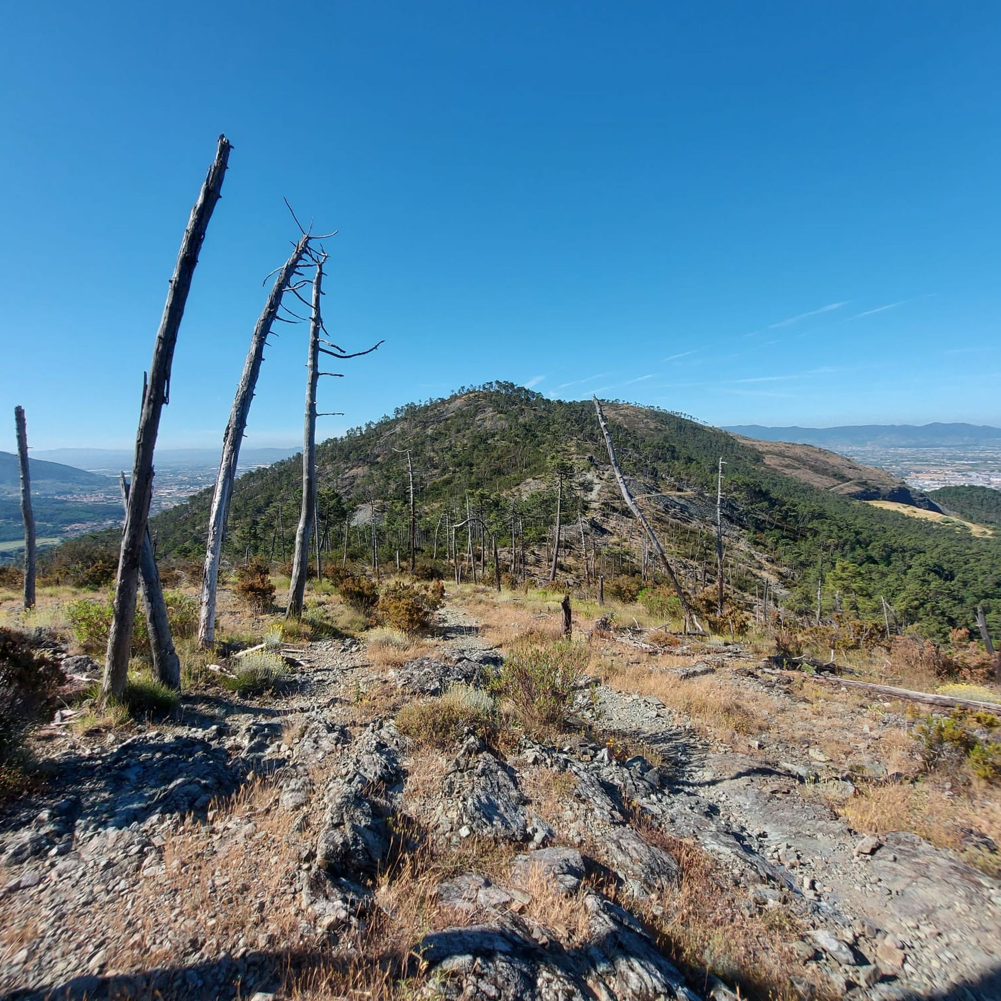
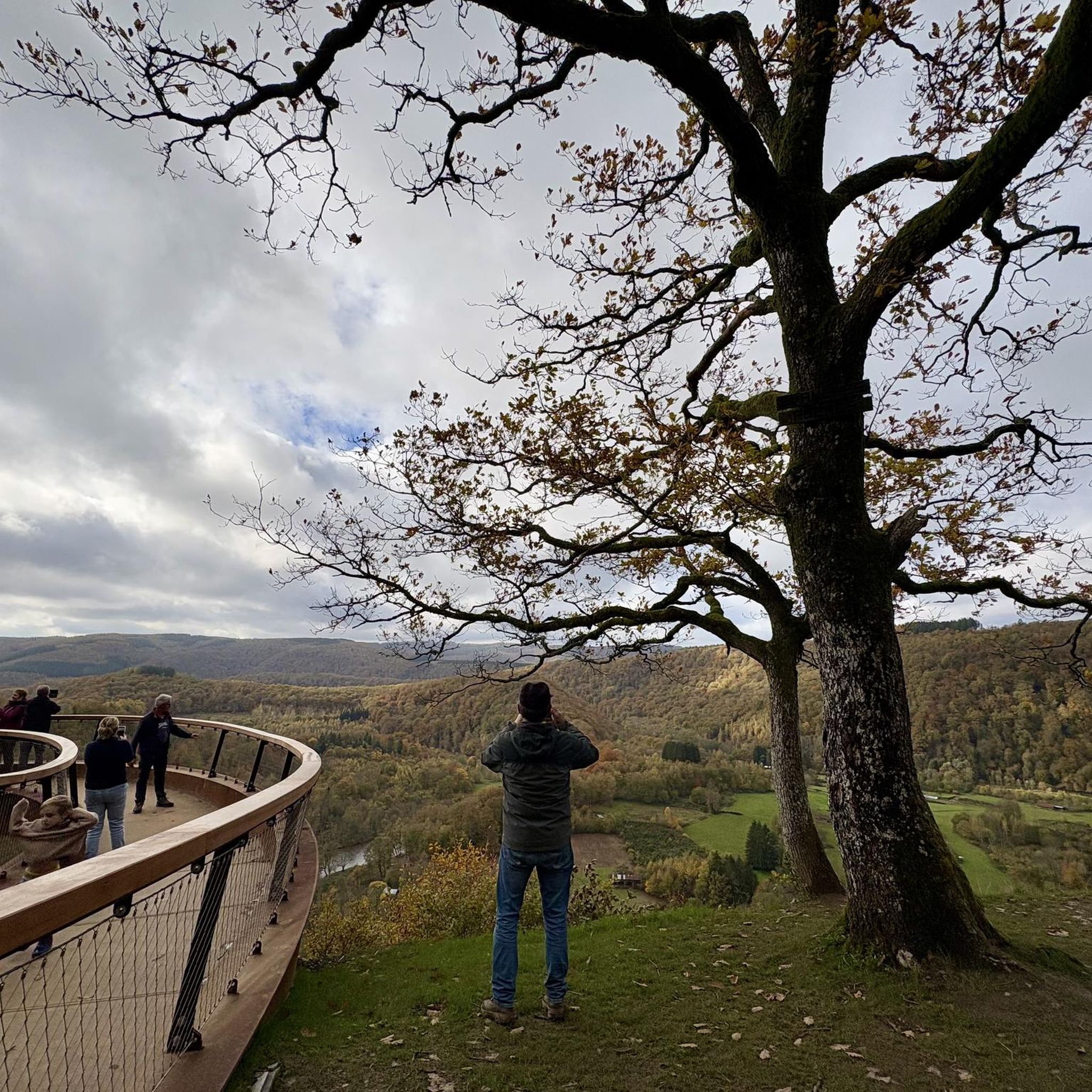
From the summit of San Baronto (about 350 m above sea level in the Montalbano hills), the panorama opens onto the surrounding valley, offering a splendid view of the typical Tuscan landscape. The view stretches over hills rich in olive trees and woods, reaching out to clearly discern the profiles of the nearby city of Pistoia, the plain towards Florence, and the gentle slopes descending towards Vinci.
0
0
The Church of San Stefano Papa al Monachino is a suggestive historic building located in an isolated position in Pian del Toro, in the Limentra Valley, within the municipality of Sambuca Pistoiese. The place is famous among hikers and cyclists for the presence of a stone fountain that dispenses very fresh drinking water, located right next to the small church.
0
0

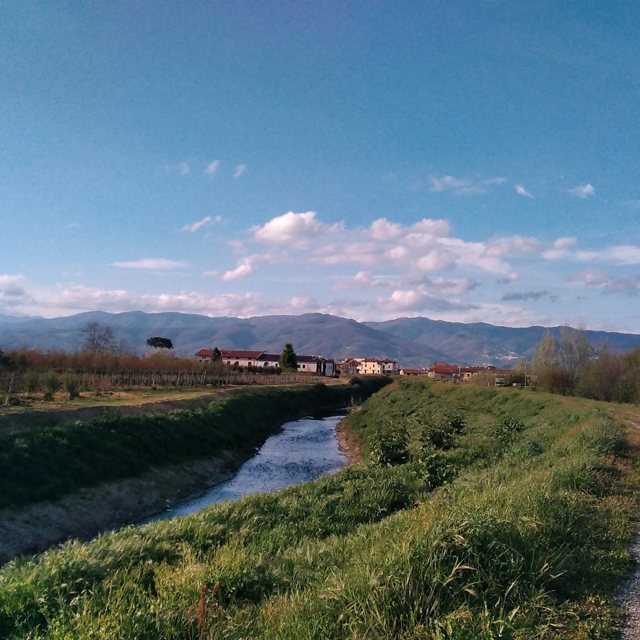
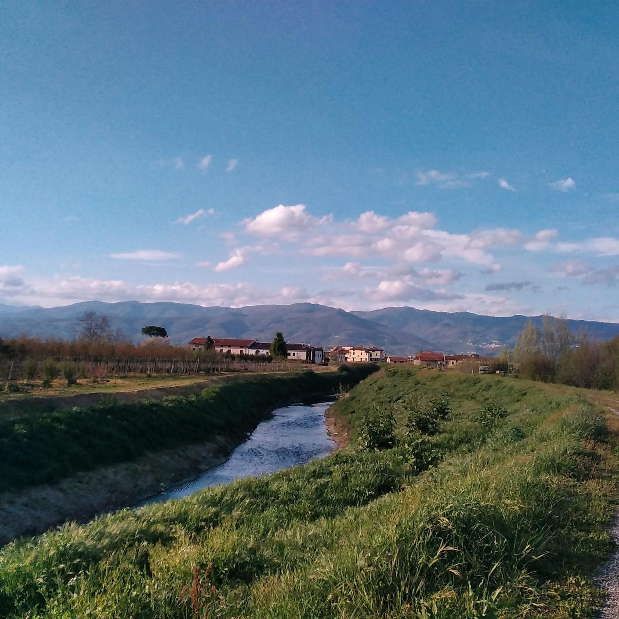
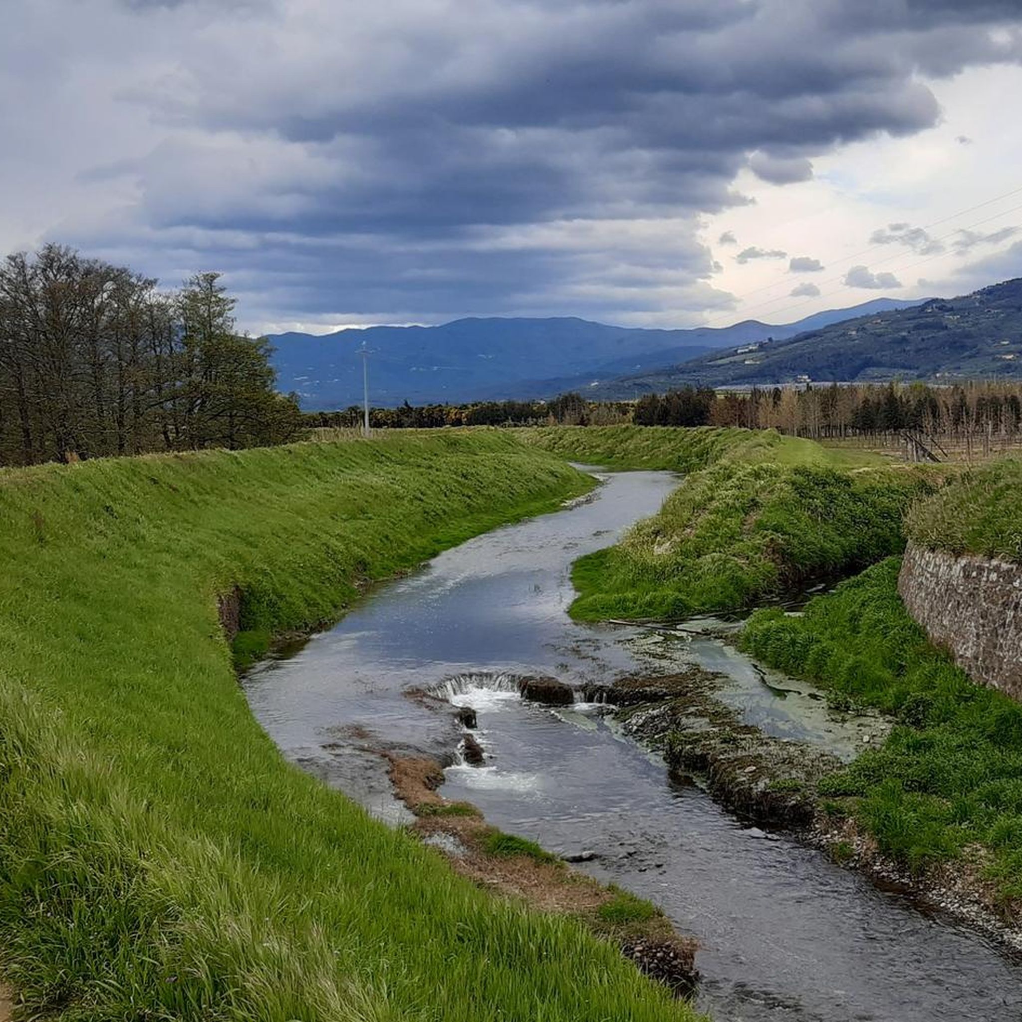
Worth seeing the village next to the main road. Town where the Italian championship of lying takes place. Beautiful path along the river where there are ice houses.
0
0
Prunetta is a characteristic mountain hamlet located at almost 1,000 meters above sea level in the municipality of San Marcello Piteglio, within the picturesque Montagna Pistoiese in Tuscany. The village has about 300 inhabitants and is a well-known destination for summer tourism, trekking, and its particular geographical location.
0
0
Prunetta is a characteristic mountain hamlet located at almost 1,000 meters above sea level in the municipality of San Marcello Piteglio, within the evocative Montagna Pistoiese in Tuscany. The village has about 300 inhabitants and is a place known for summer tourism, trekking, and its particular geographical position.
0
0
a village definitely worth visiting!
0
0

Yes, from Pistoia to Femminamorta it is 17 km, while from just outside Pistoia from Ponte Calcaiola to Le Piastre it is 7+400 km.
2
0
Frequently Asked Questions
How many road cycling routes are available around Agliana?
There are over 320 road cycling routes around Agliana, catering to various skill levels. You'll find more than 100 easy routes, over 130 moderate options, and more than 80 challenging trails for experienced cyclists.
Are there easy road cycling routes suitable for beginners in Agliana?
Yes, Agliana offers a good selection of routes for beginners. With over 100 easy road cycling routes, you can find paths that are less demanding and perfect for those new to the sport or looking for a relaxed ride through the Tuscan countryside.
What kind of terrain can I expect on road cycling routes around Agliana?
The region around Agliana is characterized by varied terrain, including rolling hills and significant elevation changes. Routes often lead through rural areas, historic towns, and can climb into mountainous areas, offering diverse experiences from challenging ascents to undulating paths.
What are some scenic viewpoints or natural landmarks to look out for on Agliana's road cycling routes?
Many routes offer scenic views of valleys and distant peaks. For specific natural landmarks, some challenging routes, like the Montepiano – Lake Brasimone loop from Montale Agliana, include a lake. You might also encounter highlights like View from La Retaia over Prato, offering panoramic vistas.
Are there any road cycling routes that pass through historic towns or villages?
Absolutely. Several routes are designed to blend rural roads with urban exploration. For instance, the Vico – Piazza del Duomo of Pistoia loop from Montale Agliana takes you through the historic center of Pistoia. Another option is the Piazza del Duomo of Pistoia – Prunetta Village Center loop from Montale Agliana, which leads through charming villages.
What is the best time of year for road cycling in Agliana?
The spring (April-May) and autumn (September-October) months generally offer the most pleasant conditions for road cycling in Agliana. Temperatures are milder, and the Tuscan landscape is particularly beautiful. Summers can be hot, especially in July and August, while winters are cooler and may have more rainfall.
What do other road cyclists say about the routes in Agliana?
The road cycling routes around Agliana are highly regarded by the komoot community, holding an average rating of 4.5 stars from over 580 reviews. Cyclists often praise the varied terrain, the blend of natural beauty and historic towns, and the challenging climbs that offer rewarding views.
Are there any loop trails for road cycling around Agliana?
Yes, many of the road cycling routes around Agliana are designed as loops, allowing you to start and finish at the same point. Examples include the Montepiano – Lake Brasimone loop from Montale Agliana and the View of Montecarlo Tower – Piazza del Duomo of Pistoia loop from Montale Agliana.
What are some of the more challenging road cycling routes in the Agliana area?
For experienced cyclists seeking a challenge, Agliana offers several difficult routes. The Montepiano – Lake Brasimone loop from Montale Agliana is a demanding 70.5-mile route with substantial climbs. Another challenging option is the Piazza Matteotti, Montale – Agriturismo San Rocco loop from Montale Agliana, which features over 1000 meters of elevation gain.
Can I find cafes or places to stop for refreshments along the road cycling routes?
Given the region's characteristic charming villages and historic towns, you will often find opportunities to stop for refreshments. Routes passing through or near towns like Pistoia or smaller villages will have cafes, bars, and trattorias where you can refuel.
What is the typical duration for a road cycling route in Agliana?
The duration of road cycling routes in Agliana varies significantly based on distance and difficulty. Shorter, easier routes might take a couple of hours, while more challenging and longer routes, such as the 70.5-mile Montepiano – Lake Brasimone loop from Montale Agliana, can take around 5 hours and 48 minutes to complete.
Most popular attractions around Agliana

Get inspired with the komoot mobile app


Explore more
Browse the best Road cycling routes in other regions.
