The best cycling routes around Agliana
4.5
(588)
10,122
riders
434
rides
Touring cycling routes around Agliana offer diverse landscapes, from the flat expanses of the Pistoia Plain to the challenging climbs of the surrounding hills and the Montalbano area. The region features protected natural areas with water mirrors, such as the Area Naturale Protetta della Querciola, providing serene environments for cycling. Proximity to the Pistoia Apennines also presents opportunities for routes through lush woodlands. This varied terrain makes Agliana a suitable base for touring cyclists seeking different levels of challenge.
Best…
Last updated: August 21, 2026
113
riders
89.2km
06:05
1,440m
1,440m
Hard bike ride. Very good fitness required. Mostly paved surfaces. Suitable for all skill levels.
5.0
(2)
122
riders
75.2km
05:07
1,150m
1,150m
Hard bike ride. Very good fitness required. Mostly paved surfaces. Suitable for all skill levels.

Sign up for free
84
riders
116km
07:52
1,840m
1,840m
Hard bike ride. Very good fitness required. Mostly paved surfaces. Suitable for all skill levels.
3.8
(4)
71
riders
Hard bike ride. Very good fitness required. Mostly paved surfaces. Suitable for all skill levels.
3.8
(8)
67
riders
50.9km
03:03
350m
350m
Moderate bike ride. Good fitness required. Mostly paved surfaces. Suitable for all skill levels.
Get access to more routes and recommendations from other explorers.
Sign up for free
Already have an account?
Our route recommendations are based on thousands of hikes, rides, and runs completed by other people on komoot.
Start today with a free account
Your next adventure awaits.
Login or Signup
Tips from the Community

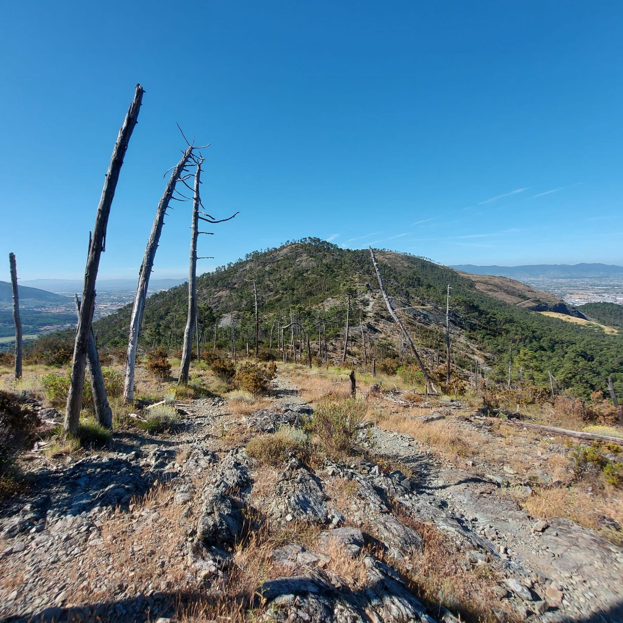
Monteferrato (or Monte Ferrato) is a characteristic mountainous area located in Tuscany, distributed among the municipalities of Prato, Montemurlo, and Vaiano. From its summit and its trails, you can enjoy a splendid panoramic view of the Prato plain, Florence, and Pistoia, as well as the picturesque Bisenzio Valley.
0
0
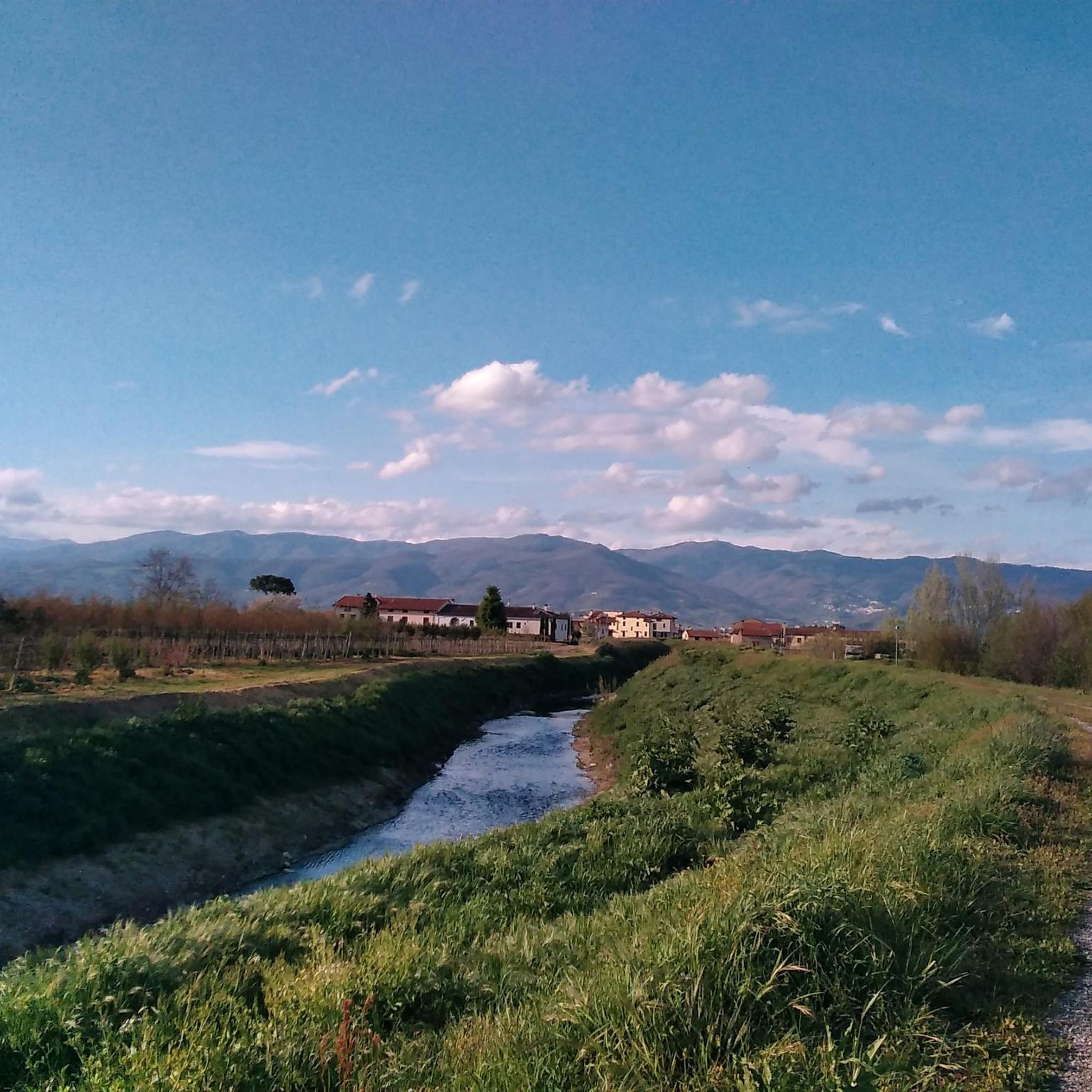
In Galceti I used to have a snack when I was little with my family
0
0
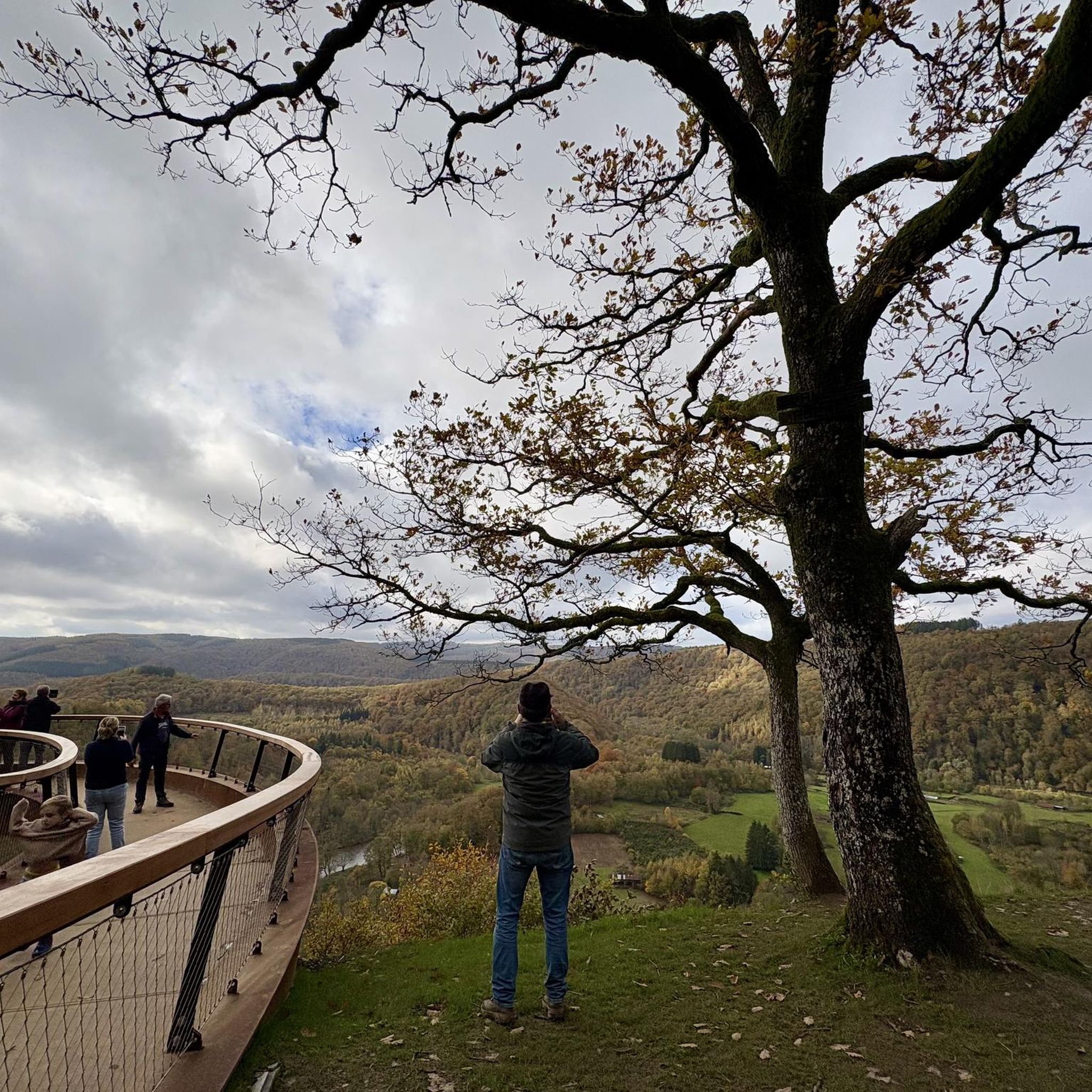
The Lake Suviana is the largest artificial basin in the metropolitan city of Bologna and one of the largest in Emilia-Romagna. Located in the Bolognese Apennines at about 400 meters above sea level, it was formed in the early 1930s following the construction of a 90-meter-high dam for hydroelectric power generation. Today it is one of the most popular tourist destinations in the region for relaxation, swimming, and outdoor activities.
1
0
Prunetta is a characteristic mountain hamlet located at almost 1,000 meters above sea level in the municipality of San Marcello Piteglio, within the evocative Montagna Pistoiese in Tuscany. The village has about 300 inhabitants and is a place known for summer tourism, trekking, and its particular geographical position.
0
0

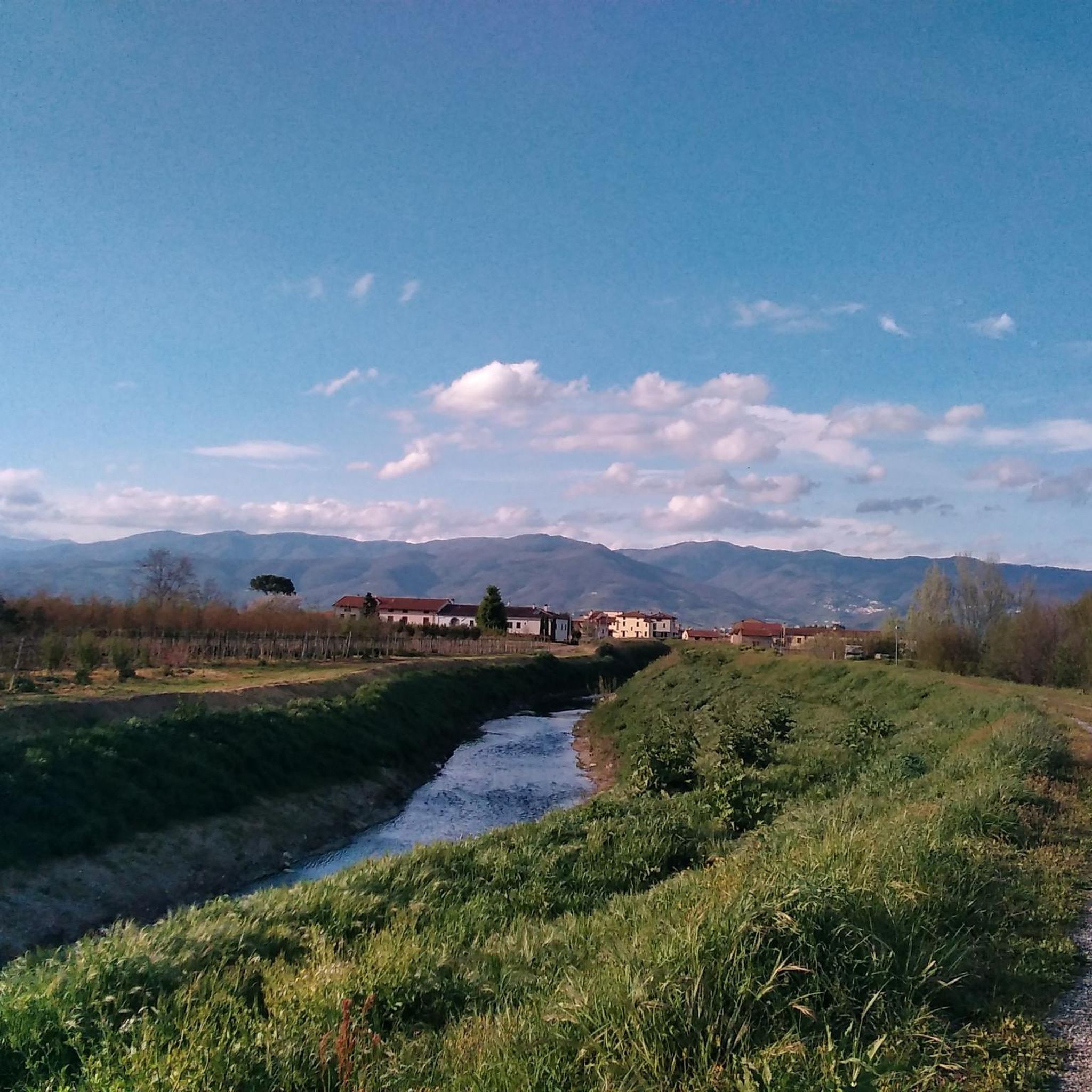
A very beautiful park, always open, at the foot of Monferrato, extending for 8 hectares north of Prato
1
0

Lake Brasimone (also known as the Scalere basin and the Brasimone basin) is an artificial lake located in the Bolognese Apennines along the Brasimone stream, in the municipality of Camugnano and is part of the Suviana and Brasimone lakes regional park.
1
0

Frequently Asked Questions
How many touring cycling routes are available around Agliana?
There are over 440 touring cycling routes around Agliana, offering a wide variety of options for different skill levels. This includes approximately 115 easy routes, 116 moderate routes, and over 210 difficult routes, ensuring there's something for every cyclist.
What kind of terrain can I expect when cycling in Agliana?
Agliana offers diverse terrain, ranging from the relatively flat and peaceful expanses of the Pistoia Plain to more challenging climbs into the surrounding hills and the Montalbano area. You'll find routes with mostly paved surfaces suitable for road bikes, as well as gravel options for off-road adventures. The proximity to the Pistoia Apennines also provides opportunities for rides through lush woodlands.
Are there any circular touring cycling routes in Agliana?
Yes, many touring cycling routes around Agliana are circular, allowing you to start and end in the same location. Examples include the challenging Bridge over the Bura Stream – Camping Belsito loop from Montale Agliana, which covers 75.3 km with significant elevation, or the Climb to Javello Farm – Villa del Barone loop from Agliana, a 38.1 km route with notable climbs.
What natural attractions can I see along the touring cycling routes?
Agliana's routes often pass through or near significant natural areas. You can explore the Area Naturale Protetta della Querciola, known for its water mirrors like the lakes of Zela and Bigiana, which are excellent for birdwatching. The Montalbano area features unique geological formations such as the 'Devil's Rock' (Pietramarina). For panoramic views, consider routes that ascend towards Croce della Retaia, offering sweeping vistas over the Florentine plain and Prato.
Are there any family-friendly or easy touring cycling routes in Agliana?
Yes, Agliana offers approximately 115 easy touring cycling routes, many of which are suitable for families or those seeking a more relaxed ride. These routes typically stick to the flatter sections of the Pistoia Plain, providing pleasant and accessible cycling experiences without significant elevation gains.
What historical or cultural sites can I visit while cycling in Agliana?
Many routes pass through or near historic towns and hamlets. Agliana itself has historical significance, with origins dating back to the 2nd century B.C., and features the Church of San Piero and the historic Spedalino Asnelli. Nearby Pistoia offers churches, cloisters, palaces, and museums, while Montale boasts a 13th-century fortified village. You can also find routes that pass by the Spedaletto Farmhouse, offering a glimpse into local history.
What do other touring cyclists say about Agliana?
The touring cycling routes around Agliana are highly rated by the komoot community, with an average score of 4.6 stars from over 500 reviews. Cyclists often praise the diverse landscapes, from the peaceful plains to the challenging hills, and the opportunities to combine cycling with nature observation and cultural exploration.
Can I access touring cycling routes using public transport in Agliana?
Agliana has a train station, which can be a convenient starting point for many routes. While specific bike transport policies vary, trains in Italy often allow bicycles, making it possible to reach Agliana and then begin your cycling tour. It's advisable to check current train operator regulations regarding bike carriage.
Are there good viewpoints along the touring cycling routes in Agliana?
Absolutely. The region is known for its rewarding panoramic views, especially from higher elevations. Routes climbing into the Montalbano hills or towards peaks like Croce della Retaia offer extensive vistas over the Florentine plain, the city of Prato, and on clear days, even the port of Livorno and the island of Capraia. The Galceti Park – View of Lake Suviana loop from Montale Agliana also provides scenic outlooks.
What is the best season for touring cycling in Agliana?
Agliana is suitable for touring cycling across multiple seasons. Spring and autumn generally offer the most pleasant temperatures for longer rides, with lush landscapes in spring and vibrant colors in autumn. Summer can be warm, especially in the plains, but higher elevation routes provide cooler options. Winters are typically mild, allowing for cycling on many days, though some higher routes might be affected by colder weather.
Are there any routes that follow streams or rivers?
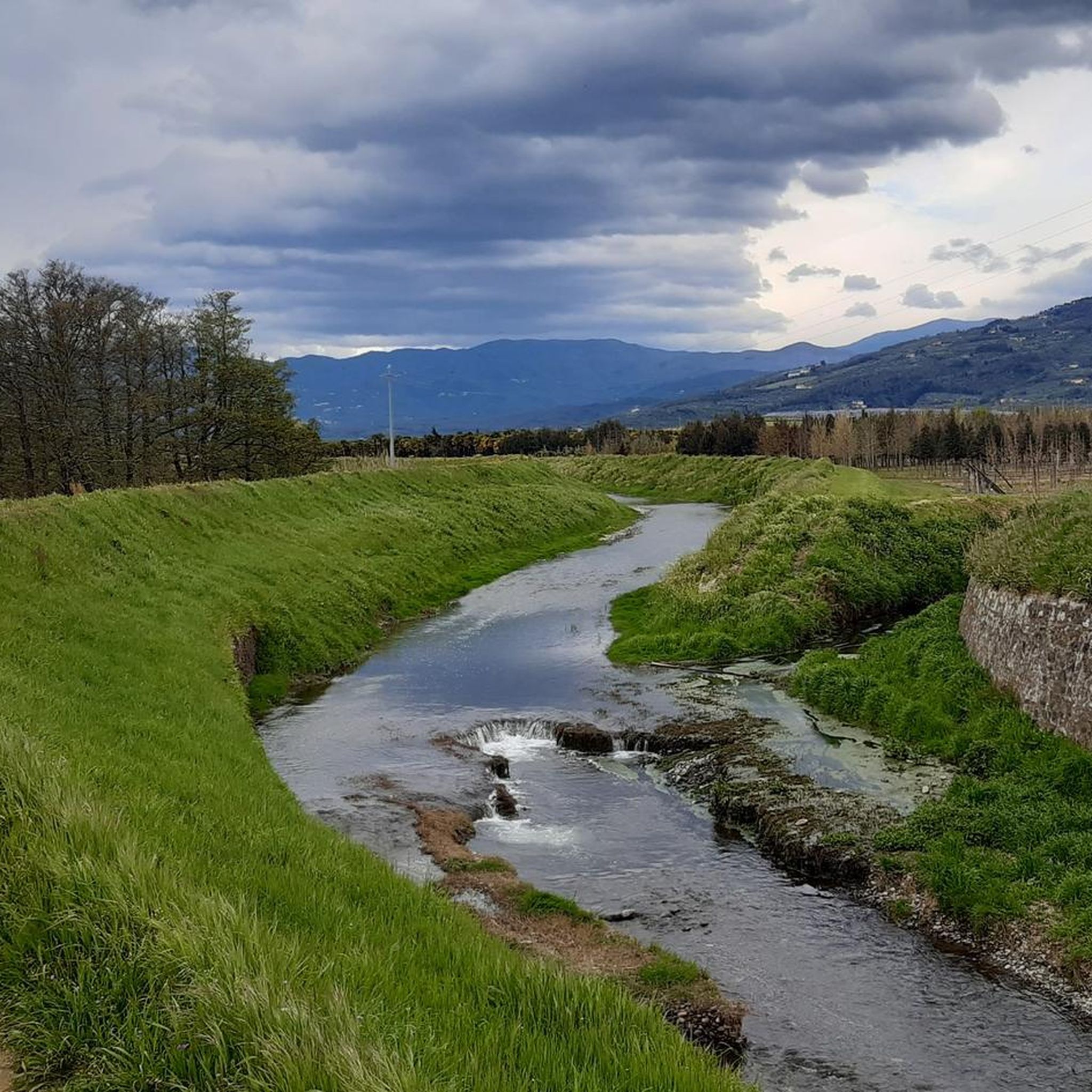
Yes, some routes incorporate natural waterways. For instance, the Bridge over the Bura Stream – Path Along the Bure Stream loop from Montale Agliana offers sections that follow the Bure Stream, providing a pleasant cycling experience alongside the water. The Area Naturale Protetta della Querciola also features water mirrors, creating serene environments for cycling and birdwatching.
Most popular attractions around Agliana

Get inspired with the komoot mobile app


Explore more
Browse the best Cycling routes in other regions.
