The best road cycling routes around Torchiara
4.6
(50)
1,302
riders
57
rides
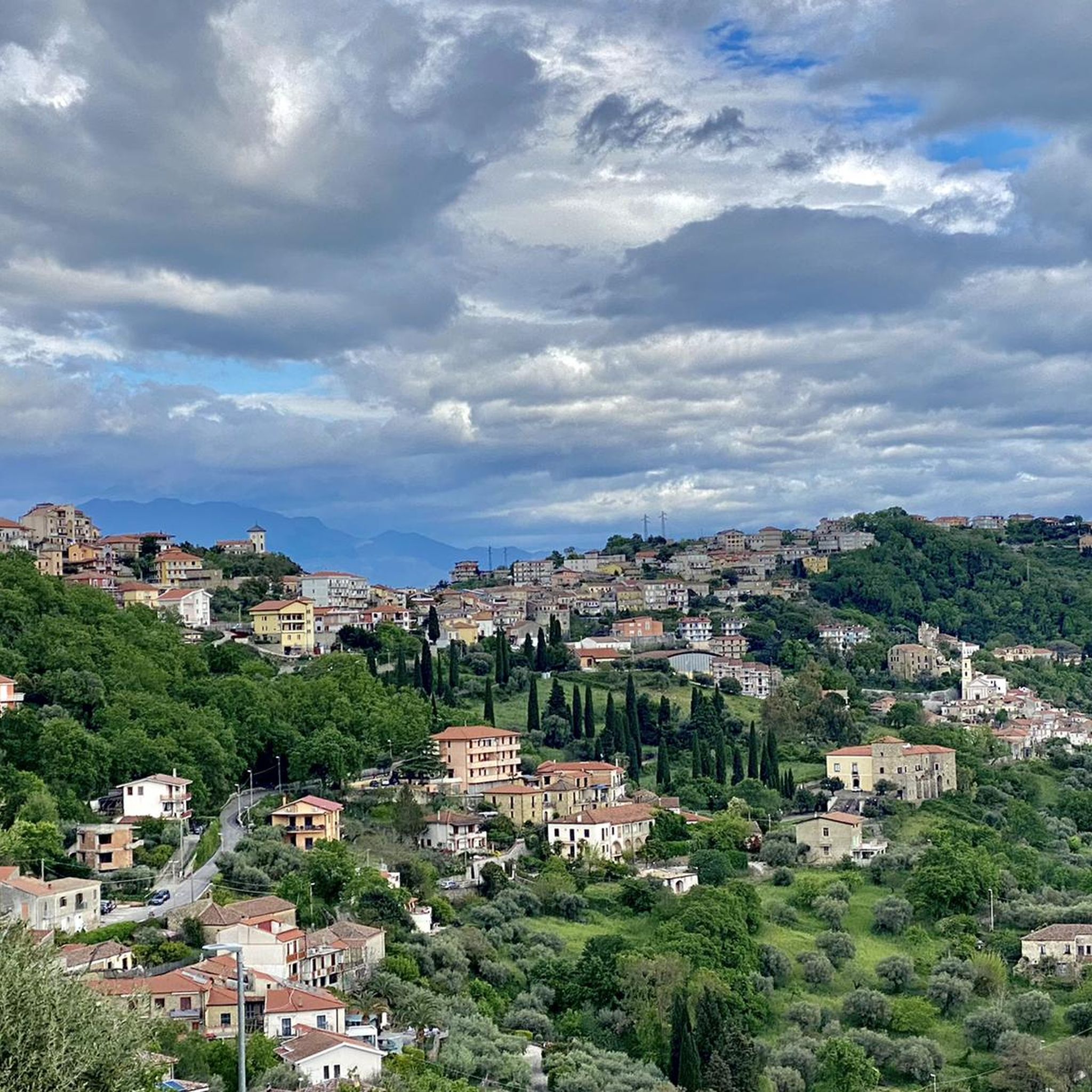
Road cycling routes around Torchiara are characterized by a diverse landscape, featuring coastal roads, rolling hills, and historical sites. The region offers a mix of terrain, from flat sections along river plains to more challenging ascents into the hinterland. Road cyclists can expect routes that traverse agricultural areas, pass ancient ruins, and provide views of the Tyrrhenian Sea.
Best road cycling routes around Torchiara
- The most popular road cycling route is La Via Silente Loop: Agropoli and Monte Stella, a 39.7 miles (63.9 km) trail that takes 3 hours 33 minutes to complete, featuring challenging climbs and panoramic views.
- Another top favourite among local road cyclists is Norman Tower of Acciaroli – Archaeological Park of Velia loop from Agropoli-Castellabate, a difficult 63.6 miles (102.4 km) path. This route connects historical landmarks with coastal scenery.
- Local road cyclists also love the Temple of Athena, Paestum – Mouth of the Sele River loop from Agropoli-Castellabate, a 50.5 miles (81.3 km) trail leading through ancient ruins and river plains, often completed in about 3 hours 22 minutes.
- Road cycling around Torchiara is defined by coastal paths, historical sites, and rolling hills, with a network that offers options for different ability levels.
- The routes in Torchiara are highly rated by the komoot community with an average score of 4.5 stars from over 48 reviews. More than 1300 road cyclists have used komoot to explore Torchiara's varied terrain.
Last updated: May 28, 2026
5.0
(2)
26
riders
63.9km
03:33
1,280m
1,280m
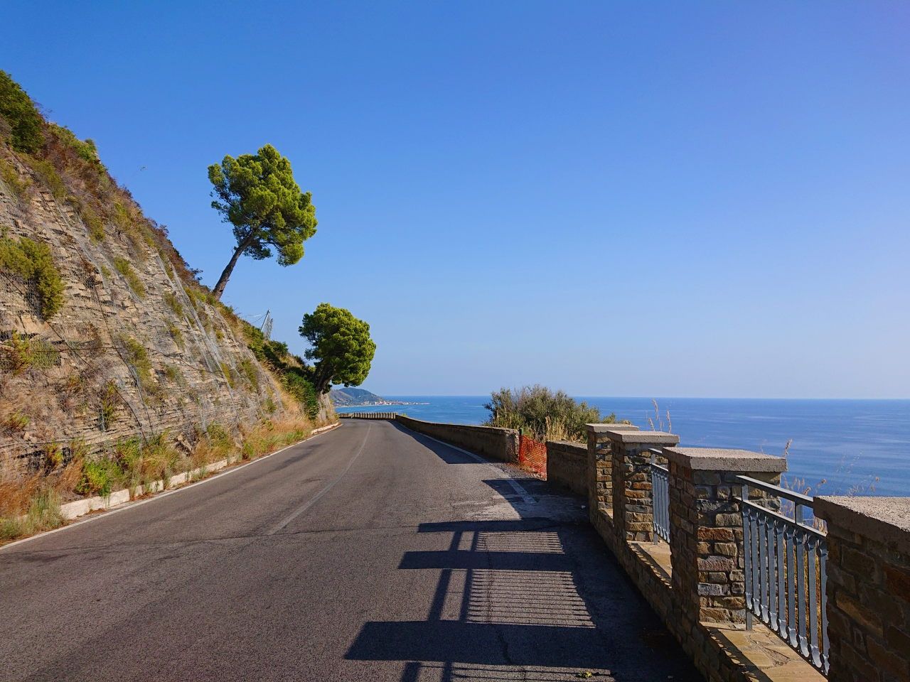
Embark on the La Via Silente Loop: Agropoli and Monte Stella, a challenging road cycling adventure spanning 39.7 miles (63.9 km) with a significant 4202 feet (1281 metres) of elevation gain. This difficult route, estimated to take 3 hours and 33 minutes, guides you through the heart of Cilento, offering diverse scenery from picturesque coastal stretches with crystal-clear waters to wild, untamed forests and hillsides dotted with ancient olive trees. You will experience the stunning panoramas from the Monte Stella scenic road, overlooking the valley, the Velino gulf, and parts of the National Park.
Planning your ride requires good fitness due to the continuous changes in elevation. While about 90% of the Via Silente is on asphalt, be aware that road surfaces are not always perfectly maintained, and the region can experience landslides, which might affect conditions. Always check local reports before you head out to ensure a smooth and safe journey. This demanding loop is best suited for experienced cyclists looking for a robust exploration.
This route offers a deep dive into Southern Italy's authentic landscapes within the Cilento, Vallo di Diano and Alburni National Park. As you cycle, you will pass through charming hamlets like Perdifumo Village and historic sites such as Castello dell'Abate, providing unique glimpses into the local culture and heritage. The Monte Stella section is particularly notable for its expansive views, making it a highlight of this regional exploration.
4.5
(8)
229
riders
102km
04:47
1,170m
1,170m
Hard road ride. Very good fitness required. Mostly well-paved surfaces and easy to ride.

Sign up for free
5.0
(2)
86
riders
78.2km
03:58
1,300m
1,300m
Hard road ride. Very good fitness required. Some segments of this route may be unpaved and difficult to ride.
4.5
(4)
89
riders
73.0km
03:59
1,410m
1,410m
Hard road ride. Very good fitness required. Some segments of this route may be unpaved and difficult to ride.
58
riders
Moderate road ride. Good fitness required. Mostly well-paved surfaces and easy to ride.
Get access to more routes and recommendations from other explorers.
Sign up for free
Already have an account?
Our route recommendations are based on thousands of hikes, rides, and runs completed by other people on komoot.
Start today with a free account
Your next adventure awaits.
Login or Signup
Other adventures around Torchiara

Tips from the Community

Spectacular arrival at Rocca Cilento in front of its spectacular castle
0
0

If you're cycling from north to south along the Cilento coast, this is the first real panoramic viewpoint. I recommend climbing up, avoiding the main road to avoid the bulk of traffic (there's a fork at the start of the climb). The view is worth the effort: beautiful.
0
0

Characteristic village, a stop at the fountain is strategic
0
0

Fountain in Perdifumo, fresh and drinkable water.
1
0

You can't miss a visit to the tourist port of Acciaroli, with its Norman tower (which lights up in the evening)
0
0

Nice to look at and good for biking
0
0

It is a splendid monumental fountain from the 15th century, probably also used as a wash house until the last century. The water is really fresh and the porch, inside which it is located, offers a pleasant shelter during the hot summer days.
2
0

a breathtaking view of the Almafi and Capri coast to enjoy your snack before going back down
0
0
Frequently Asked Questions
How many road cycling routes are available around Torchiara?
There are over 50 road cycling routes documented on komoot around Torchiara, offering a wide range of options for different skill levels and preferences. These routes explore the diverse landscape, from coastal roads to the hilly hinterland.
What kind of terrain can I expect on road cycling routes in Torchiara?
Road cycling routes around Torchiara feature a diverse landscape. You'll find coastal roads with sea views, rolling hills, and historical sites. The region offers a mix of terrain, from flatter sections along river plains to more challenging ascents into the hinterland, often traversing agricultural areas and passing ancient ruins.
Are there easy road cycling routes suitable for beginners in Torchiara?
Yes, Torchiara offers several easier road cycling routes. Out of the 56 routes, 6 are classified as easy. These routes typically feature less elevation gain and shorter distances, making them ideal for beginners or those looking for a more relaxed ride. For example, the Punta Licosa – Punta Licosa loop from Agropoli is a moderate option that offers beautiful coastal scenery without extreme climbs.
Where can I find challenging road cycling routes around Torchiara?
Torchiara is well-suited for experienced road cyclists seeking a challenge, with 24 routes classified as difficult. These routes often include significant elevation gains and longer distances. A prime example is La Via Silente Loop: Agropoli and Monte Stella, which features challenging climbs and panoramic views over 1280 meters of ascent. Another demanding option is the Norman Tower of Acciaroli – Archaeological Park of Velia loop from Agropoli-Castellabate, connecting historical landmarks with coastal scenery over 100 km.
What are some scenic viewpoints or attractions along road cycling routes in Torchiara?
Many road cycling routes in Torchiara offer stunning views and pass by significant attractions. You can enjoy coastal vistas, explore ancient ruins, and discover charming villages. Notable attractions include the Agropoli Castle, the Castello dell'Abate, and the Monte Stella Summit and Sanctuary, which offers expansive panoramic views. Routes often lead through areas rich in history and natural beauty.
Are there circular road cycling routes available in Torchiara?
Yes, many of the road cycling routes around Torchiara are designed as circular loops, allowing you to start and end your ride in the same location. This is convenient for those who drive to their starting point. Examples include the Temple of Athena, Paestum – Mouth of the Sele River loop from Agropoli-Castellabate and the Perdifumo Village – Castello dell'Abate loop from Agropoli-Castellabate.
What is the best season for road cycling in Torchiara?
The ideal seasons for road cycling in Torchiara are spring (April to June) and autumn (September to October). During these months, the weather is typically mild and pleasant, with comfortable temperatures and less rainfall. Summer can be quite hot, especially in July and August, which might make longer rides challenging, while winter can bring cooler temperatures and more unpredictable weather.
What do other road cyclists enjoy most about road cycling in Torchiara?
The road cycling routes in Torchiara are highly rated by the komoot community, with an average score of 4.5 stars from over 48 reviews. Cyclists often praise the region's diverse terrain, which combines challenging climbs with scenic coastal stretches and historical landmarks. The variety of routes catering to different skill levels and the beautiful Mediterranean landscapes are frequently highlighted.
Are there road cycling routes that pass through historical sites or ancient ruins?
Absolutely. Torchiara's road cycling routes are rich in history. For instance, the Temple of Athena, Paestum – Mouth of the Sele River loop from Agropoli-Castellabate leads directly through ancient ruins. Many routes also pass by medieval castles like the Agropoli Castle and the Castello dell'Abate, offering a blend of sport and cultural exploration.
How long do road cycling routes in Torchiara typically take to complete?
The duration of road cycling routes in Torchiara varies significantly based on distance, elevation, and your cycling pace. Shorter, easier routes might take around 2-3 hours, while more challenging and longer routes, such as the 102 km Norman Tower of Acciaroli – Archaeological Park of Velia loop from Agropoli-Castellabate, can take 4-5 hours or more. Always check the estimated duration for each specific route on komoot.
Are there any specific peaks or mountains that can be reached by road bike in the Torchiara area?
While many routes involve significant climbs, some offer access to notable peaks or viewpoints. For example, the La Via Silente Loop: Agropoli and Monte Stella includes ascents towards Monte Stella, providing access to the Monte Stella Summit and Sanctuary, which is a fantastic viewpoint. The region's hilly terrain ensures plenty of opportunities for challenging ascents and rewarding panoramic views.
Most popular attractions around Torchiara

Get inspired with the komoot mobile app


Explore more
Browse the best Road cycling routes in other regions.
