The best walks and hikes around San Nazario
4.6
(757)
3,485
hikers
59
hikes
Hiking around San Nazario offers diverse landscapes within the Brenta Valley, characterized by historical trails and significant elevation changes. The region features mule tracks that ascend to elevated viewpoints, providing panoramic vistas of Monte Grappa, Bassano del Grappa, and the Asiago Plateau. Trails often traverse varied terrain, from valley floors to alpine pastures, making it a compelling destination for outdoor enthusiasts.
Best hiking trails around San Nazario
- The most popular hiking route is Sannazara Historic Mule Track, a 5.2…
Last updated: September 26, 2026
4.6
(19)
76
hikers
10.4km
03:15
350m
350m
Historic WWI battlefield trail to Monte Asolone summit with trenches, memorials and Dolomites views.
4.1
(10)
61
hikers
12.4km
06:06
1,200m
1,200m
Historic WWI mule tracks lead to Col Moschin Memorial through Monte Grappa's battlefields.

4.2
(6)
29
hikers
10.2km
05:18
940m
940m
Dramatic gorge hike through carved rock passages to panoramic views over Valsugana valley.
5.0
(5)
35
hikers
12.4km
06:10
1,200m
1,200m
Historic WWI mule track through battlegrounds to Cima Grappa with sweeping views from plains to sea.
5.0
(2)
19
hikers
10.2km
05:13
920m
920m
Hike the difficult Valgadena - Lessi - Stoner Trail, a 6.4-mile route with 3020 feet of gain, featuring unique rock formations and carved pa
Get access to more routes and recommendations from other explorers.
Already have an account?
Our route recommendations are based on thousands of hikes, rides, and runs completed by other people on komoot.


Tips from the Community


Rifugio Alpe Madre, located at 1,270 meters on the Grappa Massif in the municipality of Solagna, is an excellent destination for those seeking authentic contact with the nature of the Veneto region. Nestled in the pastures of Colli Alti, it offers a suggestive panorama ranging from the Asiago Plateau to the Dolomite peaks. The structure is famous for its traditional cuisine, characterized by genuine dishes such as homemade gnocchi and polenta with mountain pasture cheeses. Easily reachable from Campo Solagna via the scenic Strada delle Penise, the refuge is a landmark for hikers, families, and snowshoeing enthusiasts. In addition to catering, it offers overnight accommodation in a rustic atmosphere, making it an ideal base for exploring the historic sites of Col Moschin and Col Fenilon.
0
0

Continuing across the large meadow you will find a rocky spur with a view of the Valbrenta
1
0

Col Fenilon is a green, rounded hill rising among the Colli Alti, offering a splendid 360° panorama, even better than the more famous (and lower) Col Moschin: the view extends over the plain, Bassano and the Brenta Valley, the Asiago Plateau, the Lagorai, Mount Grappa, and, on the horizon, the Dolomites. During the First World War, the Colli Alti del Grappa (including Col Fenilon and Col Moschin) were a crucial and extreme point of Italian resistance defending the plain. In June 1918, they were conquered by the Austro-Hungarians, and later retaken by the Italians in a lightning-fast and legendary action. The name derives from "buon fieno" (good hay), due to the excellent mountain pastures it has provided for centuries.
0
0
Col Moschin is a bare, green, and rounded hill offering a splendid view of the Brenta Valley below, the Asiago Plateau opposite, Mount Grappa, the Lagorai Mountains, and all the way to the Dolomites! During the First World War, on June 15, 1918, Col Moschin was the scene of a brilliant and lightning-fast assault by the Arditi of the 9th Assault Regiment, who in just 10 minutes retook the peak from Austro-Hungarian hands, effectively halting the imperial advance toward the plain. For their valor and heroism, the current 9th Col Moschin Parachute Assault Regiment, an elite corps of Italian special forces, is named after them. The hill is still marked by the scars of trenches and shell holes. Here, as at other crucial points of the conflict scattered across the Alpine foothills, an authentic column from ancient Rome was erected after the First World War, donated by the capital as a lasting reminder of the Austro-Hungarian army's deepest penetration (and thus of Italy's extreme and heroic resistance). This video from the Viribus Unitis channel offers a fascinating and detailed account of the events (thanks to the authors for permission to link): https://youtu.be/26yrq9M0_gw?si=aI1NoOyae0IVybNm
0
0

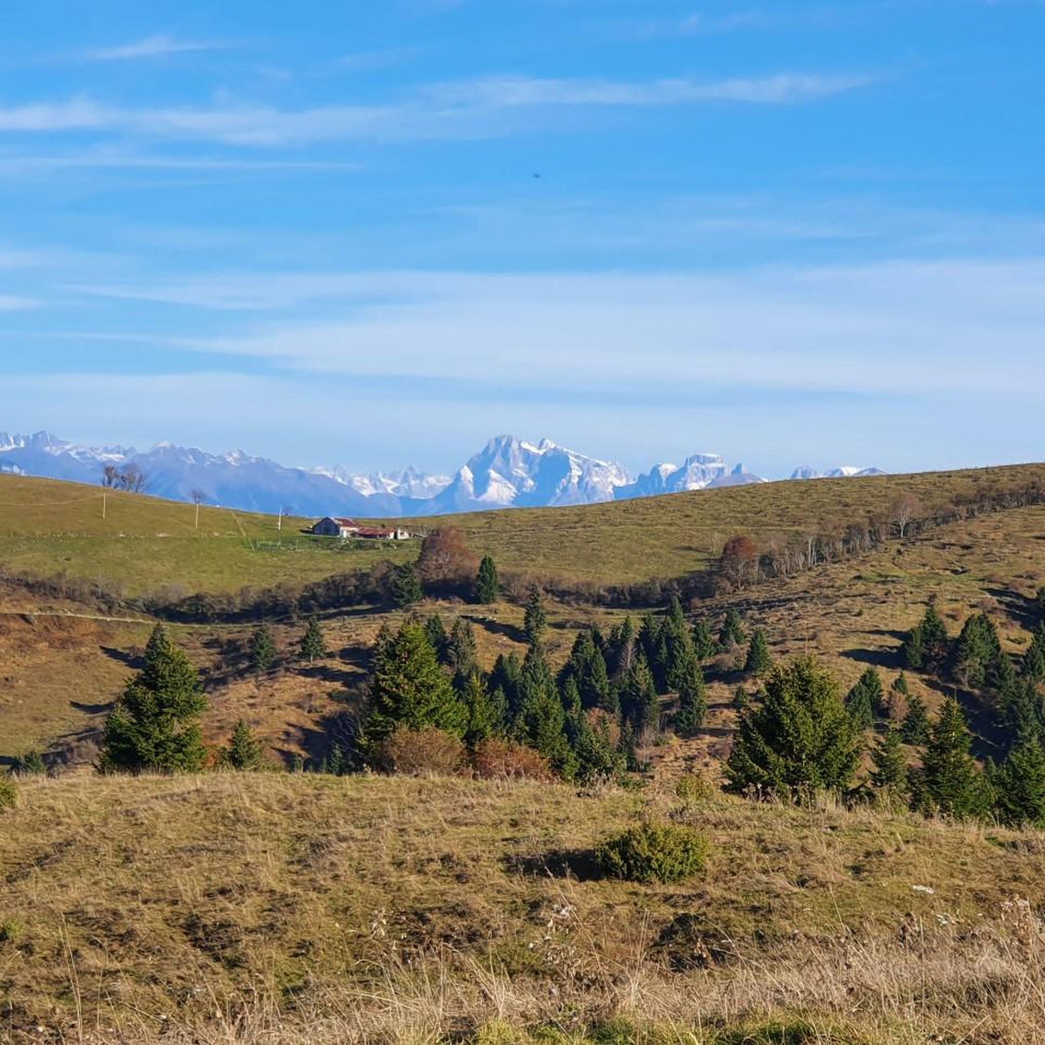
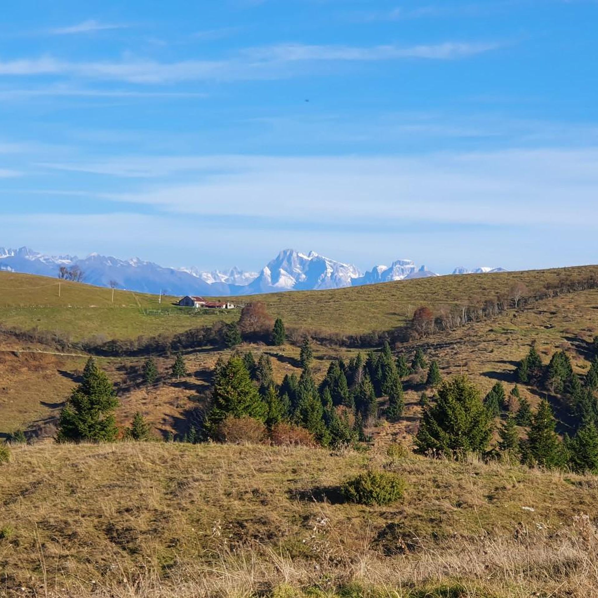
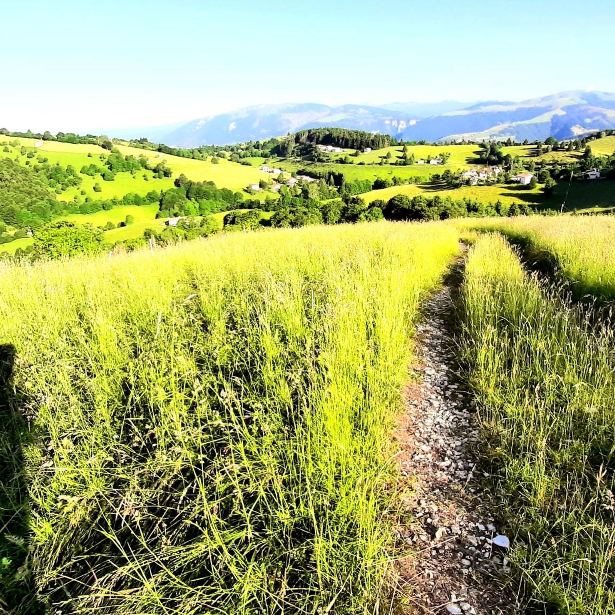
View of the meadows near the top of Col del Feniol and the valley.
0
0
Trail in the Pian Castello area
0
1

Col della Berretta (1,448 m) is a grassy ridge that connects the locality of Finestron to Monte Asolone. Here there is a pyramid with a plaque that reports the bulletin of the supreme commander (General Diaz) of 27 November 1917, in which the acts of heroism performed by the infantrymen of the Aosta brigade to repel a mass attack by enemy forces are cited.
0
0
Frequently Asked Questions
How many hiking trails are available around San Nazario?
There are over 50 hiking trails around San Nazario, offering a wide range of experiences. These include 7 easy routes, 21 moderate routes, and 23 difficult routes, ensuring options for various skill levels.
What kind of terrain can I expect on hikes in San Nazario?
Hiking in San Nazario primarily involves historical mule tracks and paths that ascend from the Brenta Valley floor to elevated viewpoints. You'll encounter varied terrain, from valley paths to alpine pastures, often with significant elevation changes, characteristic of mountain walking.
Are there any family-friendly hiking options in San Nazario?
Yes, San Nazario offers 7 easy routes that are suitable for families. While specific family-focused trails aren't detailed, these easier options provide a good starting point for those hiking with children.
What are the best viewpoints or scenic spots along the trails?
Many trails, especially those ascending to higher elevations like the Sannazara Historic Mule Track, offer panoramic vistas. From these points, you can often see Monte Grappa, Bassano del Grappa, and the Asiago Plateau, as well as the picturesque Brenta Valley itself.
Are there any circular walking routes in San Nazario?
While specific circular routes are not detailed in the provided data, the region's network of trails, including options like "Anello delle Zattere" mentioned in regional research, suggests that circular walks are available. You can explore komoot's map to find loops that suit your preferences.
What historical landmarks can I discover while hiking?
San Nazario's trails are rich in history, particularly those related to WWI. Routes like the Historic WWI Mule Track to Col Moschin Memorial and the Monte Asolone WWI Memorial Trail from Finestron lead through significant historical sites and memorials. Additionally, the Campolongo Trenches (WW1) are a notable historical highlight nearby.
Are there any caves or natural attractions to explore near the hiking trails?
Yes, the area around San Nazario features several interesting caves. You can explore highlights such as Anguane's Cave, Oliero Caves, and Ernesto Cave. The Oliero River, near the Oliero Caves, is also a beautiful natural feature.
What do other hikers say about the trails in San Nazario?
The hiking trails in San Nazario are highly regarded by the komoot community, with an average rating of 4.5 stars from over 700 reviews. Hikers often praise the historical significance of the paths, the challenging ascents, and the rewarding panoramic views of the Brenta Valley and surrounding mountains.
Is public transport available to reach the trailheads?
While specific public transport routes to individual trailheads are not detailed, San Nazario is located approximately 10 km north of Bassano del Grappa, a larger town. It's advisable to check local bus schedules or regional transport options from Bassano del Grappa to San Nazario for access to the general area.
What other outdoor activities are available in the San Nazario area besides hiking?
Beyond hiking, the Brenta Valley around San Nazario is a hub for various outdoor pursuits. River activities such as rafting, hydrospeed, hot dog, packraft, SUP, and canoeing/kayaking are popular options for those looking to explore the water.
Are there any particularly challenging hikes for experienced trekkers?
Yes, San Nazario offers several difficult routes for experienced trekkers. The Sannazara Historic Mule Track, for instance, is a challenging 8.3 km trail with over 1100 meters of elevation gain, typically taking around 4.5 hours to complete. Another demanding option is the Moschina Trail to Cima Grappa (CAI 936), which features significant elevation gain over 12.4 km.
Most popular routes around San Nazario
Most popular attractions around San Nazario

Get inspired with the komoot mobile app


Explore more
Browse the best Hikes in other regions.
