The best road cycling routes around San Nazario
4.5
(931)
28,486
riders
157
rides
Road cycling around San Nazario offers diverse terrain, from challenging mountain ascents to scenic river routes. The region is characterized by prominent features like Monte Grappa, providing significant elevation gain and panoramic views, and the Brenta River, which carves through valleys. Cyclists will encounter a mix of shaded forests, rolling hills such as the Colli Alti, and historic roads, all contributing to varied cycling experiences.
Best road cycling routes around San Nazario
- The most popular road cycling route is Valsugana…
Last updated: September 30, 2026
4.7
(65)
1,579
riders
109km
04:49
1,010m
1,010m
Hard road ride. Very good fitness required. Some segments of this route may be unpaved and difficult to ride.
4.9
(15)
372
riders
92.0km
05:14
2,030m
2,030m
Hard road ride. Very good fitness required. Some segments of this route may be unpaved and difficult to ride.

96
riders
60.5km
03:17
1,180m
1,180m
Hard road ride. Very good fitness required. Mostly well-paved surfaces and easy to ride.
2.0
(2)
41
riders
17.7km
00:50
130m
130m
Moderate road ride. Great for any fitness level. Some segments of this route may be unpaved and difficult to ride.
4.5
(4)
19
riders
25.9km
01:32
590m
590m
Moderate road ride. Good fitness required. Mostly well-paved surfaces and easy to ride.
Get access to more routes and recommendations from other explorers.
Already have an account?
Our route recommendations are based on thousands of hikes, rides, and runs completed by other people on komoot.


Tips from the Community

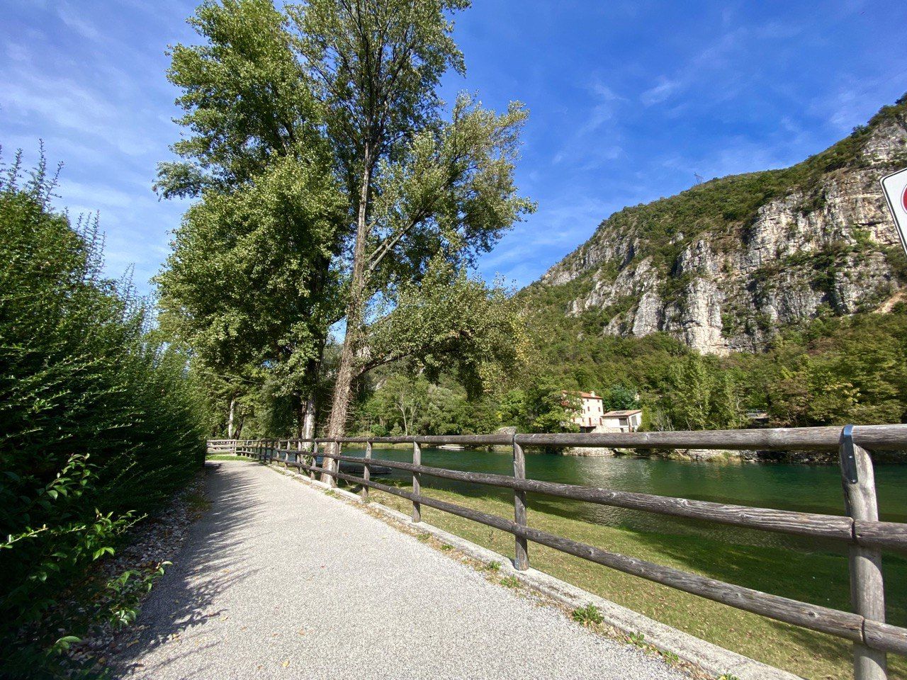
From Caldonazzo, a beautiful cycle path leads along the shore of the lake to Pergine. For swimming, it's better to head to the neighboring Lago di Levico.
0
0
It is also worth riding on service roads off the Valsugana cycle path, but partly this involves a few meters of altitude.
0
0

Quiet village, touristy in summer due to its beautiful lake,
0
0

Cima di Campo (1,425–1,512 m) in Arsiè is a well-known mountain and alpine pass in the Belluno Dolomites, famous for its cycling climb, the Forte Leone from World War I, and hiking routes. Length: Approximately 18.5 km starting from the center of Arsiè. Elevation gain and Gradient: 1,111 meters of elevation gain with an average gradient of 6% and double-digit peaks in the initial sections towards Mellame and Col Perer. Famous for being the first iconic climb of the Dolomiti Bellunesi cycling granfondo. Forte Leone: A large armored military fortress built between 1906 and 1912 to defend the border, currently undergoing renovation.
1
0
historic mountain road with eight hairpin bends, the Tagliata della Scala and the Tagliata delle Fontanelle. They are located between the Valsugana and the territory of Feltre, in Veneto. The fortifications: Between 1892 and 1895, the Tagliata della Scala in the lower part and the Tagliata delle Fontanelle in the upper part were built to defend the border. The walkway: The two parts are joined by a long covered gallery with loopholes. War: They did not play a major military role during World War I and were later abandoned.
0
0
The cycle path towards Cismon del Grappa, very cool and shaded.
0
0
Fortification built in a natural cave. In the Great War it was a blocking point defending Valsugana. There are references to it as a fortification around the year 1000.
0
0
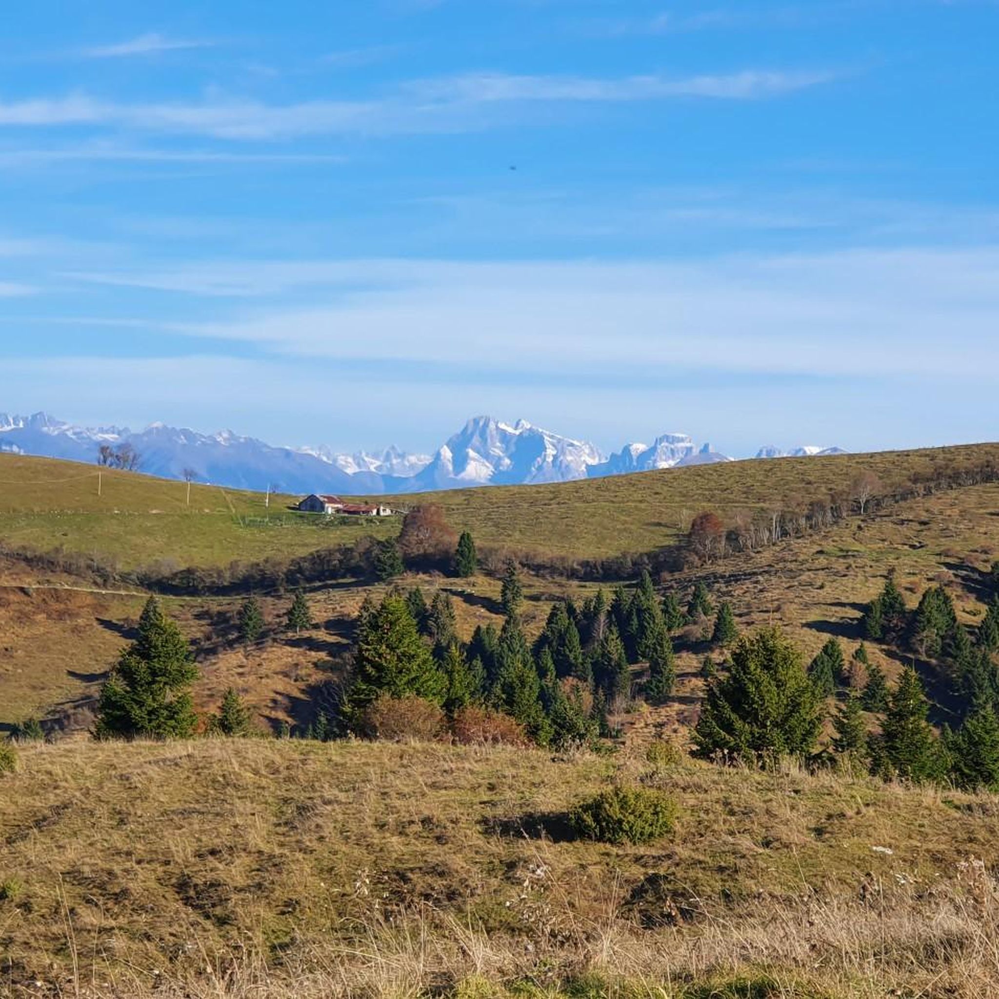
The Murello road, the route of the old military road, allows you to reach Castel Tesino and the Brocon pass from Grigno. Striking panoramic views.
0
0
Frequently Asked Questions
What types of road cycling routes can I find around San Nazario?
San Nazario offers a diverse range of road cycling experiences. You'll find challenging mountain ascents, particularly towards Monte Grappa, serene routes along the Brenta River, and undulating terrain through the Colli Alti. The region features a mix of paved roads and some historic military roads, catering to various skill levels.
Are there routes suitable for beginners or those looking for an easier ride?
Yes, San Nazario has routes suitable for less experienced cyclists. For instance, the Valstagna and the River Brenta – View of Valstagna loop from Carpanè - Valstagna is an easy 17.2-mile (27.7 km) trail that follows the Brenta River valley, often completed in about 1 hour 17 minutes. Another moderate option is the Valstagna and the River Brenta – View of Valstagna loop from San Nazario, which is 31.2 miles (50.2 km) with moderate elevation.
Where can I find challenging road cycling routes with significant elevation gain?
For experienced cyclists seeking a challenge, the region's routes often feature substantial climbing. The View of Valstagna – Primolano Steps loop from San Nazario is a difficult 57.8-mile (93.0 km) path with over 2,000 meters of elevation gain. Another demanding option is the Valsugana Cycle Path – Valsugana Cycle Route loop from San Marino, a 68.2-mile (109.7 km) route with over 1,000 meters of elevation gain.
What are some scenic viewpoints or landmarks I can see along the cycling routes?
Many routes offer panoramic views, especially from areas like Monte Grappa, where you can visit the Monte Grappa War Memorial. From the Colli Alti, you can admire views of the Valsugana and the Asiago Plateau. Other notable sights include the historic town of Valstagna and its Ponte Vecchio on the Brenta.
Are there any lakes or water features near the cycling routes?
Yes, the region features the Brenta River, which many cycling routes follow or cross. You can also find attractions like Lake Corlo, which has an Alpini Trail and a beach near the Bell Tower of Rocca di Arsiè. Several bridges, such as the Victory Bridge and Pont de Polo Bridge, also offer scenic crossings.
What do other road cyclists say about the routes in San Nazario?
The road cycling routes around San Nazario are highly regarded by the komoot community, holding an average rating of 4.6 stars from over 380 reviews. Cyclists often praise the varied terrain, from challenging climbs to serene river paths, and the stunning panoramic views.
What is the best time of year to go road cycling in San Nazario?
The region's diverse landscapes, including shaded forests and open hills, make it enjoyable across different seasons. Spring and autumn generally offer pleasant temperatures for cycling, while summer provides warmth, especially for routes that traverse shaded areas. Always check local weather conditions before heading out.
Are there any long-distance road cycling routes in the area?
Yes, for those looking for longer rides, San Nazario offers several extensive routes. The View of Valstagna – Valgàdena Bridge loop from San Nazario is a difficult route spanning over 120 kilometers (75 miles) with significant elevation, providing a full day's adventure.
Can I find cafes or accommodation along the road cycling routes in San Nazario?
While specific cafes or accommodation are not detailed for every route, San Nazario and nearby towns like Valstagna offer amenities. Many routes pass through or near settlements where you can find places to rest, refuel, and stay overnight, especially along the Brenta River valley.
Is public transport available to reach the cycling routes, especially with a bike?
San Nazario is accessible, and while specific public transport options for bikes can vary, regional buses and trains often connect to towns in the Brenta Valley. It's advisable to check with local transport providers for their bike carriage policies and schedules when planning your trip.
Are there any specific permits required for cycling in the Veneto region around San Nazario?
Generally, no specific permits are required for road cycling on public roads and designated cycle paths in the Veneto region around San Nazario. However, always respect local regulations and private property signs, especially if venturing off marked routes.
Most popular routes around San Nazario
Most popular attractions around San Nazario

Get inspired with the komoot mobile app


Explore more
Browse the best Road cycling routes in other regions.
