The best walks and hikes in Sarganserland
4.6
(6689)
44,363
hikers
772
hikes
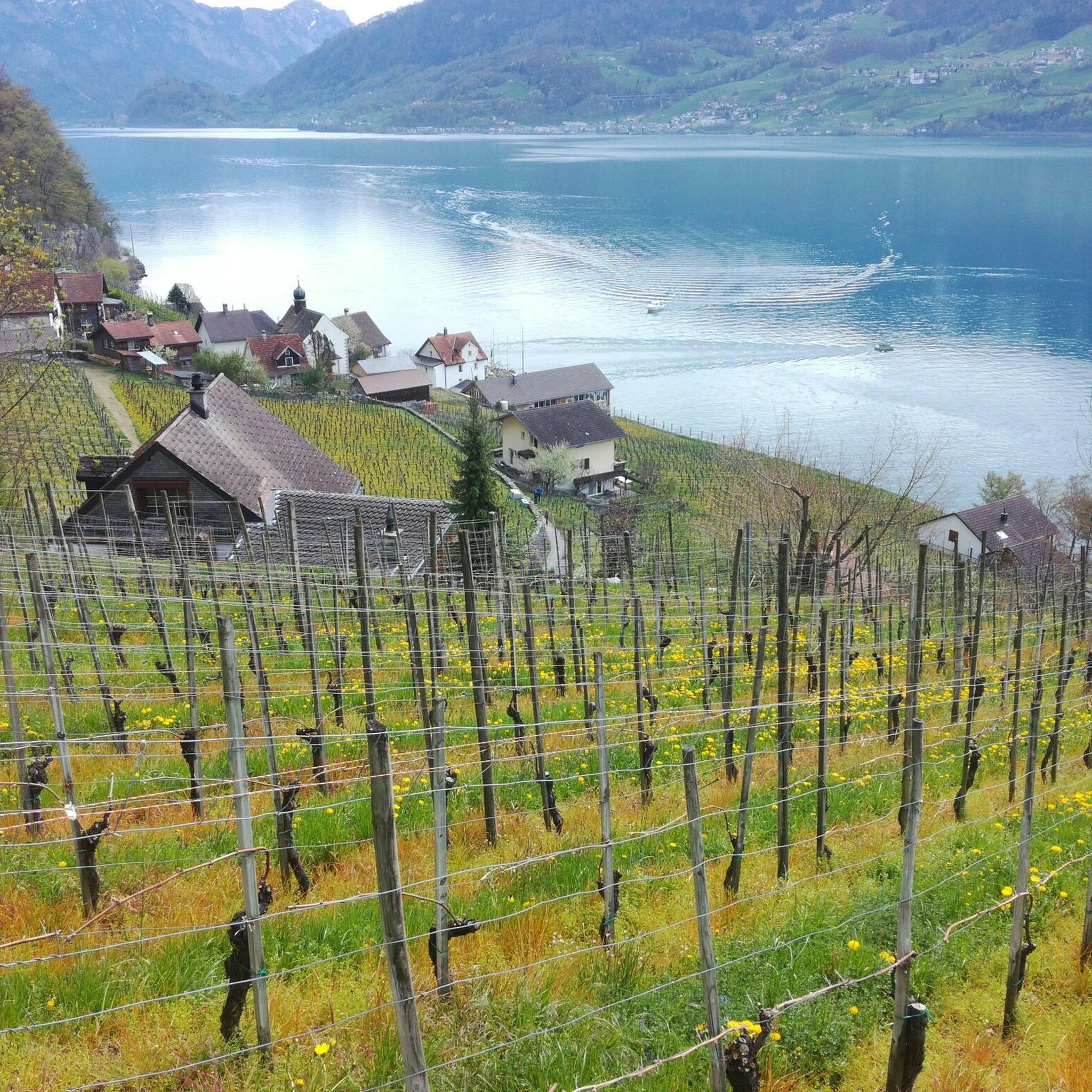
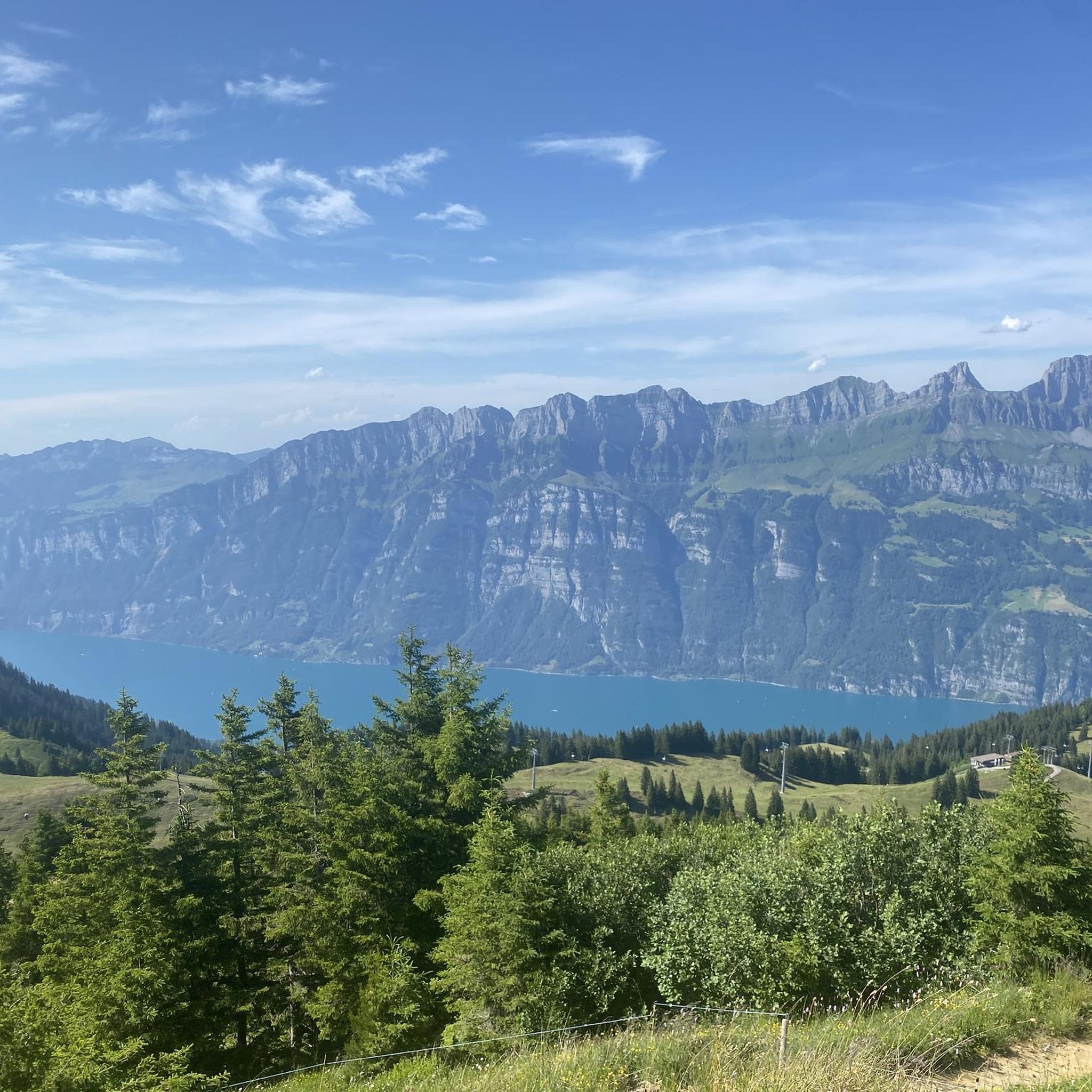
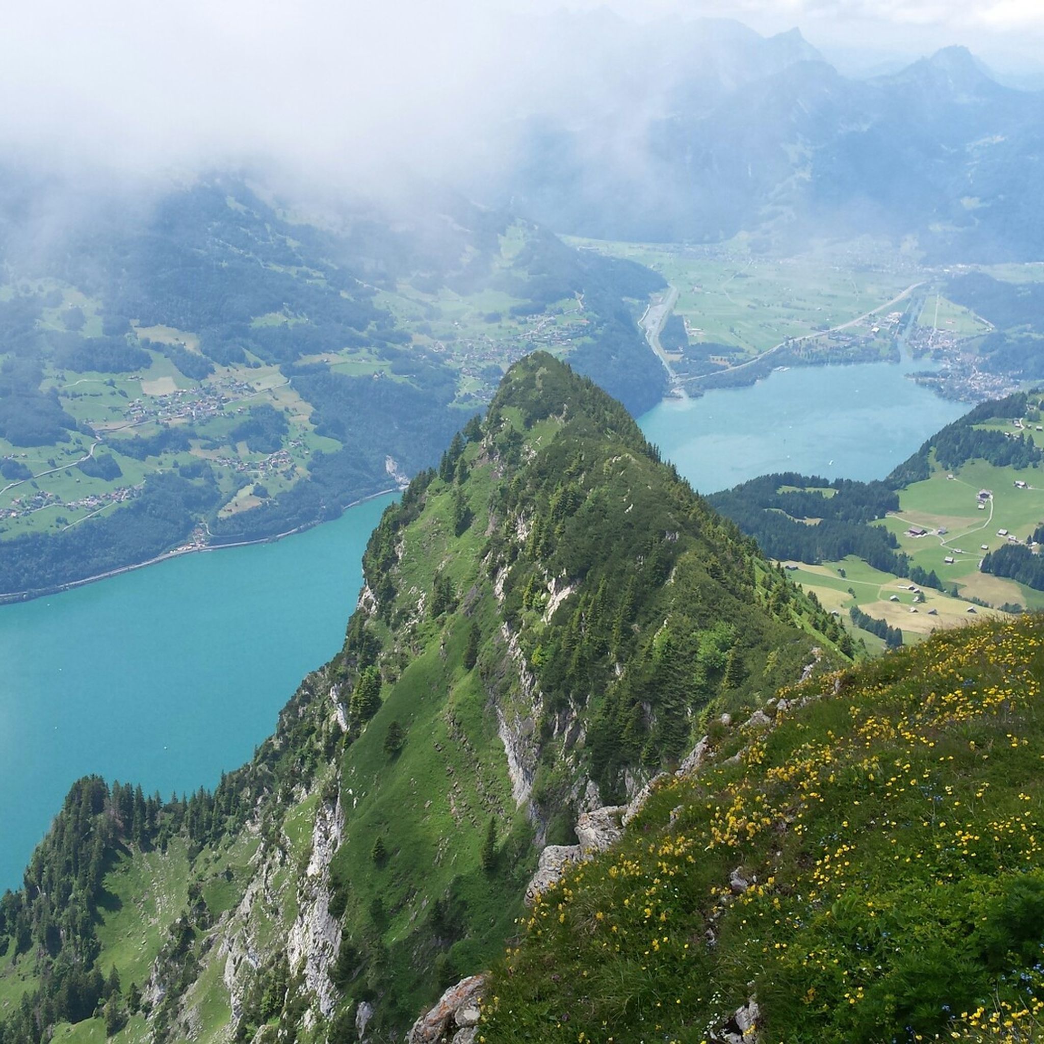
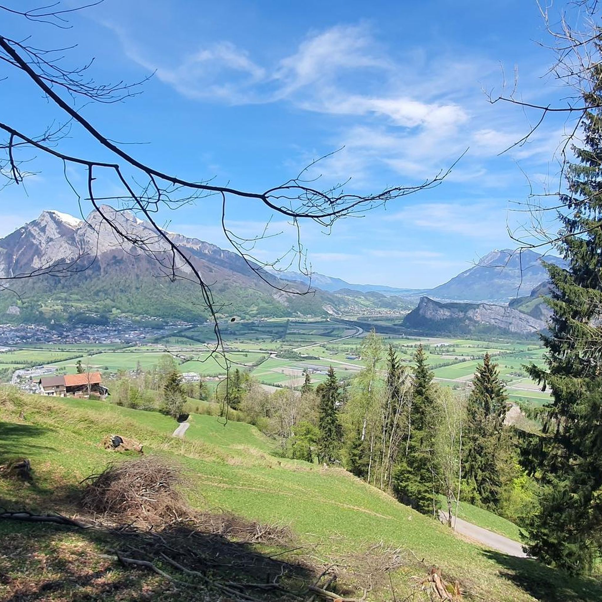
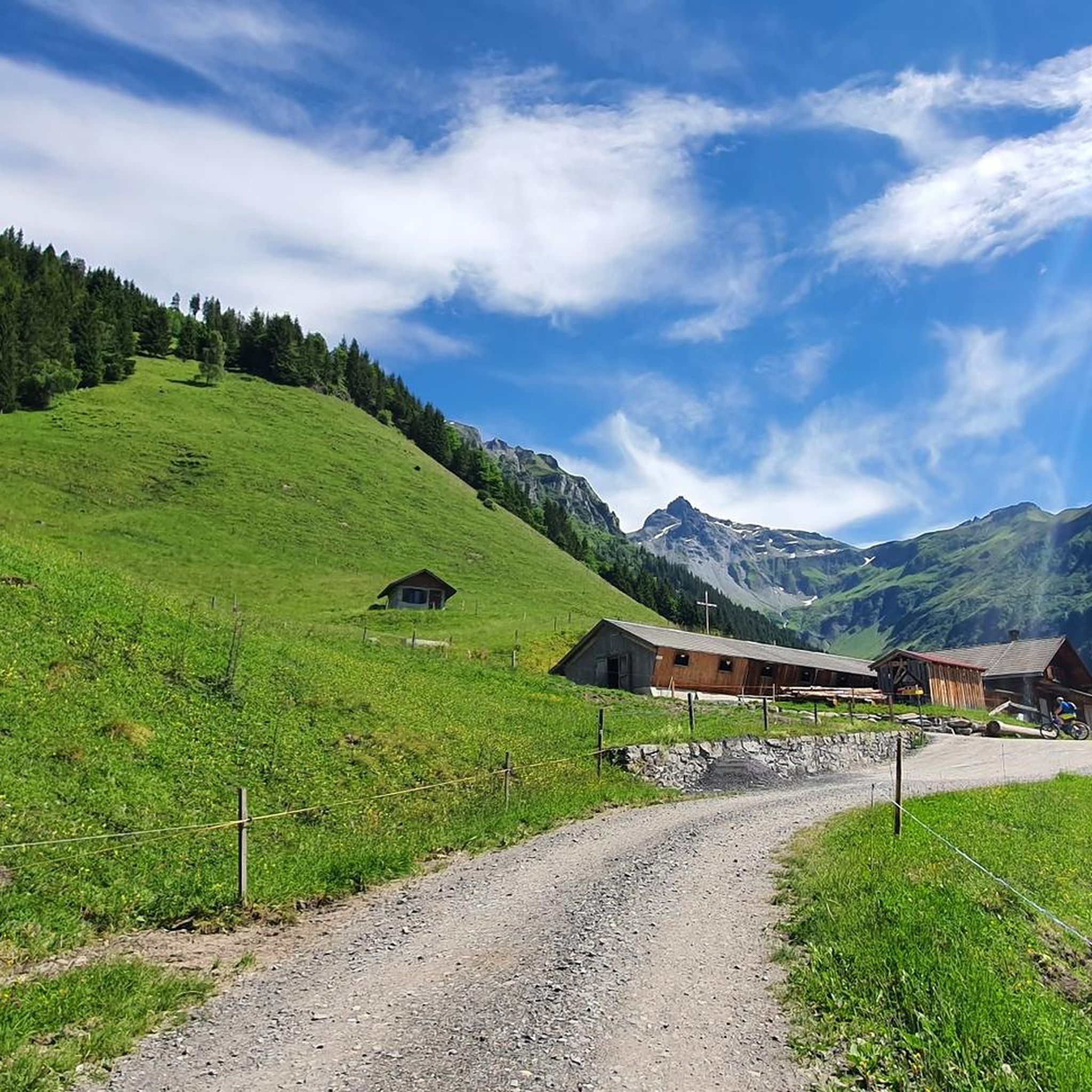
Hiking in Sarganserland offers diverse terrain characterized by majestic alpine peaks, deep gorges, and serene lakes in Eastern Switzerland. The region features prominent mountain ranges such as the Alpstein, Alvierkette, and Churfirsten, providing varied elevation changes. Hikers can explore paths through valleys, alongside lakes like Walensee, and into narrow rock crevices such as the Tamina Gorge.
Best hiking trails in Sarganserland
- The most popular hiking route is 5-lake hike on the Pizol, a 7.0 miles (11.2 km) trail that…
Last updated: October 24, 2026
4.8
(999)
6,726
hikers
11.2km
04:47
480m
830m
Hard hike. Good fitness required. Sure-footedness, sturdy shoes and alpine experience required.
4.6
(304)
1,926
hikers
8.41km
03:13
520m
520m
Moderate hike. Good fitness required. Mostly walkable paths. Sure-footedness required.

4.8
(169)
1,074
hikers
14.7km
05:31
450m
1,060m
Hard hike. Very good fitness required. Sure-footedness, sturdy shoes and alpine experience required.
4.6
(215)
1,008
hikers
13.9km
04:22
500m
500m
4.8
(99)
700
hikers
9.90km
03:28
550m
550m
Moderate hike. Good fitness required. Mostly walkable paths. Sure-footedness required.
4.6
(94)
566
hikers
7.03km
02:12
250m
250m
Moderate hike. Good fitness required. Mostly walkable paths. Sure-footedness required.
4.9
(34)
320
hikers
3.90km
01:04
60m
60m
Easy hike. Easily walkable paths.
4.9
(431)
2,600
hikers
14.6km
05:58
840m
830m
Hard hike. Very good fitness required. Mostly walkable paths. Sure-footedness required.
4.7
(157)
838
hikers
12.8km
05:19
990m
990m
Hard hike. Very good fitness required. Mostly walkable paths. Sure-footedness required.
4.6
(79)
335
hikers
10.6km
03:38
570m
570m
Moderate hike. Good fitness required. Easily walkable paths.
Get access to more routes and recommendations from other explorers.
Already have an account?
Our route recommendations are based on thousands of hikes, rides, and runs completed by other people on komoot.
Start today with a free account
Your next adventure awaits.




Other adventures in Sarganserland


Tips from the Community

Here the Tamina flows into the Rhine. However, this is the most boring part of this river. Visit the Taminaschlucht gorge near the old Bad Pfäfers instead (for only 5.- entry).
0
0
A few meters from the Altes Bad Pfäfers is the entrance to the mystical Tamina Gorge. Guests can experience the immense power of the water up close here. The gorge path has been carved out of the eastern rock face. A sturdy railing provides support and distance from the nearby, wild Tamina. A tunnel built in 1987 finally shows the safe way through the interior of the rock, past the small thermal water fountain (36.5°C) to the spring water grotto.
3
0

The monastery museum is really interesting! Definitely visit...
2
0

Anyone stopping here had to do something for it. The path from Murg is partly extremely steep.
0
0


Historical Museum
1
1

Far from the noise of the streets, in the heart of the Flumserberg ski area, directly above Lake Walen, lies our idyllically situated hotel & restaurant at 1,650 meters above sea level. The view of the Churfirsten mountains and the local mountain, the Sächsmoor, delights every day. Source: https://share.google/RhRxb8Sb9oVkycB6F
7
0
Frequently Asked Questions
How many hiking trails are available in Sarganserland?
Sarganserland offers a vast network of hiking trails, with over 790 routes recorded on komoot. These range from easy strolls to challenging alpine treks, ensuring options for all experience levels.
What types of natural features can I expect to see while hiking in Sarganserland?
The region is renowned for its diverse natural beauty, including majestic alpine peaks like those in the Alpstein and Churfirsten ranges, serene lakes such as Walensee, Schottensee, and Wildseeluggen, and dramatic geological formations like the Tamina Gorge. You can also discover impressive waterfalls, including the Berschnerfall and the Batöni Waterfall Arena.
Are there any family-friendly hiking options in Sarganserland?
Yes, Sarganserland provides numerous easy and moderate trails suitable for families. With over 300 easy routes available, you can find paths that are less strenuous, often leading through picturesque valleys or alongside lakes. Consider routes that offer gentle gradients and opportunities for breaks.
Can I find circular hiking routes in Sarganserland?
Absolutely. Many trails in Sarganserland are designed as circular routes, allowing you to start and end at the same point. An example is the Tamina Gorge Circular Trail, which offers a moderate 13.9 km hike through a unique natural wonder.
What are some challenging hikes for experienced trekkers in Sarganserland?
For experienced hikers, Sarganserland offers several demanding alpine routes. The 7-summit tour Flumserberg is a difficult 14.7 km trail with significant elevation changes, providing sweeping views. Another challenging option is the Oberer Murgsee Valley – Upper Murg Lake loop from Bachlaui, which covers 14.5 km with over 800 meters of ascent.
Are there any hikes that feature waterfalls in Sarganserland?
Yes, Sarganserland is home to several beautiful waterfalls. The Batöni waterfall arena in the Weisstannental valley is a popular moderate hike leading to an impressive collection of cascades. You can also find the Berschnerfall near Walenstadt, accessible via a dedicated hiking trail.
What historical or cultural landmarks can I explore while hiking in the region?
Sarganserland boasts a rich history. You can visit the medieval Sargans Castle, which houses the Sarganserland Museum. The Castle Route, or 'Schlossweg,' connects Werdenberg Castle to Sargans Castle, passing historical sites like the Wartau castle ruins and the Gonzen Iron Mine.
What is the best time of year to go hiking in Sarganserland?
The best time for hiking in Sarganserland is typically from late spring to early autumn (May to October). During these months, the weather is generally mild, and most trails are free of snow. High-altitude routes, like those around Pizol, are best enjoyed in summer when alpine flowers are in bloom and conditions are stable.
Are there opportunities for refreshment or accommodation along the trails?
Yes, many hiking trails in Sarganserland pass by traditional Swiss huts and mountain restaurants where you can enjoy local dishes and take a break. These amenities are particularly common in popular areas like Flumserberg and Pizol, offering a chance to refuel and experience local hospitality.
What do other hikers say about their experiences in Sarganserland?
The hiking trails in Sarganserland are highly rated by the komoot community, with an average score of 4.6 stars from over 5,400 reviews. Hikers frequently praise the stunning panoramic views, the diversity of the landscapes from lakes to mountains, and the well-maintained paths. Many appreciate the unique geological features and the clear mountain air.
Are there any easy panoramic walks in Sarganserland?
Yes, for those seeking less strenuous options with great views, the Pizol panoramic high-altitude trail offers an easy 3.9 km walk. This route provides stunning vistas without significant elevation gain, making it accessible for many.
Most popular routes in Sarganserland
Most popular attractions in Sarganserland

Get inspired with the komoot mobile app


Didn’t find what you were looking for?
Check out more Hikes throughout Sarganserland below and find the perfect route in your destination.
Explore more
Browse the best Hikes in other regions.
