The best hikes from bus stations in Sarganserland
4.6
(5501)
38,960
hikers
358
hikes
Bus station hiking trails in Sarganserland offer access to a diverse landscape in Eastern Switzerland, characterized by alpine peaks, deep gorges, and serene lakes. The region features varied terrain, from the dramatic slopes of the Churfirsten mountain range bordering Walensee to the thermal springs of Tamina Gorge. Hikers can explore well-maintained trails through forests, along rivers, and up to elevated viewpoints.
Best bus station hiking trails in Sarganserland
- The most popular bus station hiking route is Batöni waterfall arena in…
Last updated: May 16, 2026
4.7
(239)
1,520
hikers
8.41km
03:13
520m
520m
Moderate hike. Good fitness required. Mostly accessible paths. Sure-footedness required.
4.8
(149)
845
hikers
12.8km
05:11
990m
990m
Hard hike. Very good fitness required. Easily-accessible paths. Suitable for all skill levels.

Sign up for free
4.5
(59)
270
hikers
10.6km
03:37
570m
570m
Moderate hike. Good fitness required. Easily-accessible paths. Suitable for all skill levels.
4.8
(42)
294
hikers
14.8km
04:49
660m
660m
Moderate hike. Good fitness required. Mostly accessible paths. Sure-footedness required.
4.8
(91)
709
hikers
15.7km
05:26
720m
720m
Hard hike. Very good fitness required. Sure-footedness, sturdy shoes and alpine experience required.
Get access to more routes and recommendations from other explorers.
Sign up for free
Already have an account?
Our route recommendations are based on thousands of hikes, rides, and runs completed by other people on komoot.
Start today with a free account
Your next adventure awaits.
Login or Signup
Popular around Sarganserland

Hikes from bus stations in Haut Lieu Tectonique Suisse Sardona

Hikes from bus stations around Walensee

Hikes from bus stations around Stausee Gigerwald
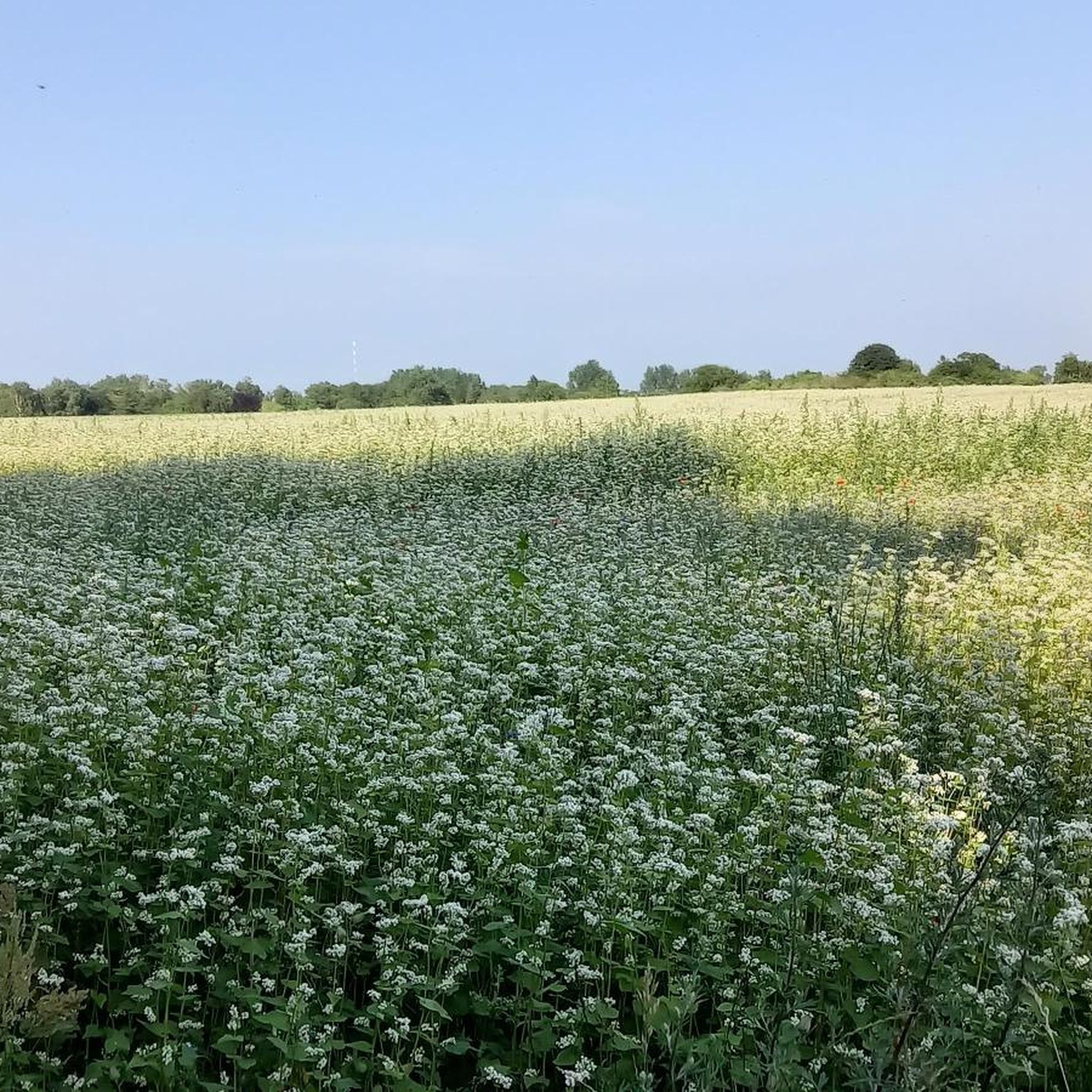
Hikes from bus stations around Pumpspeicherkraftwerk Mapragg

Hikes from bus stations around Oberer Murgsee

Sardona World Heritage Trail – Where the Alps once formed
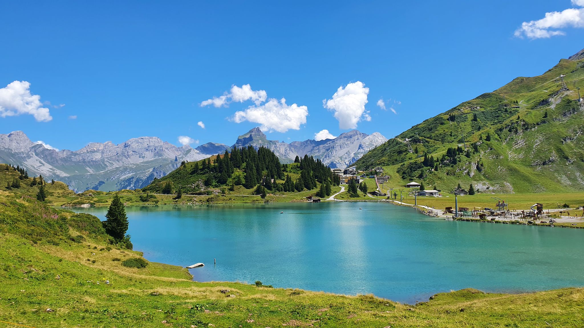
Via Alpina – The 15 stages of the Green Route
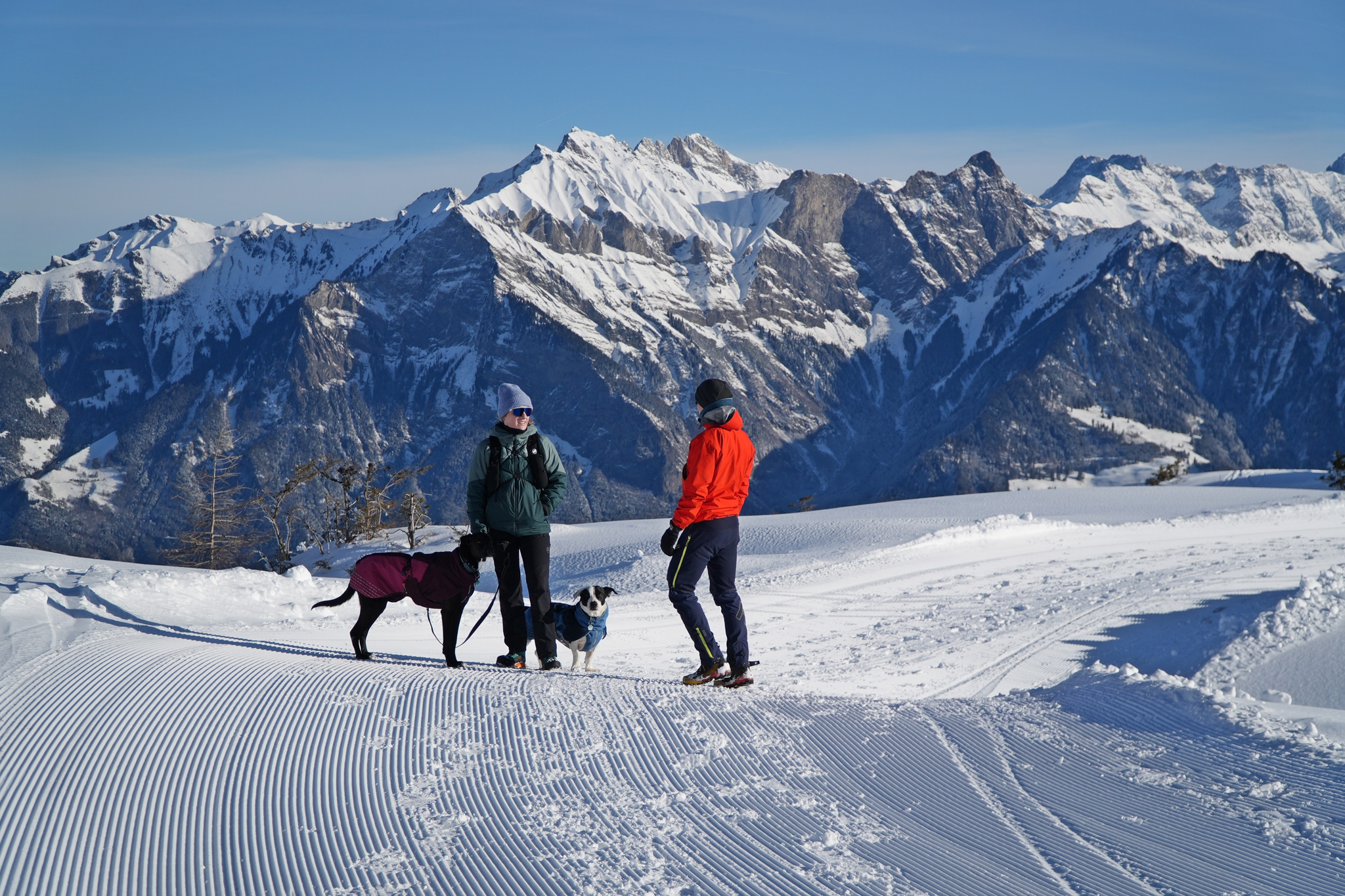
Enchanting winter hikes with dogs in Eastern Switzerland
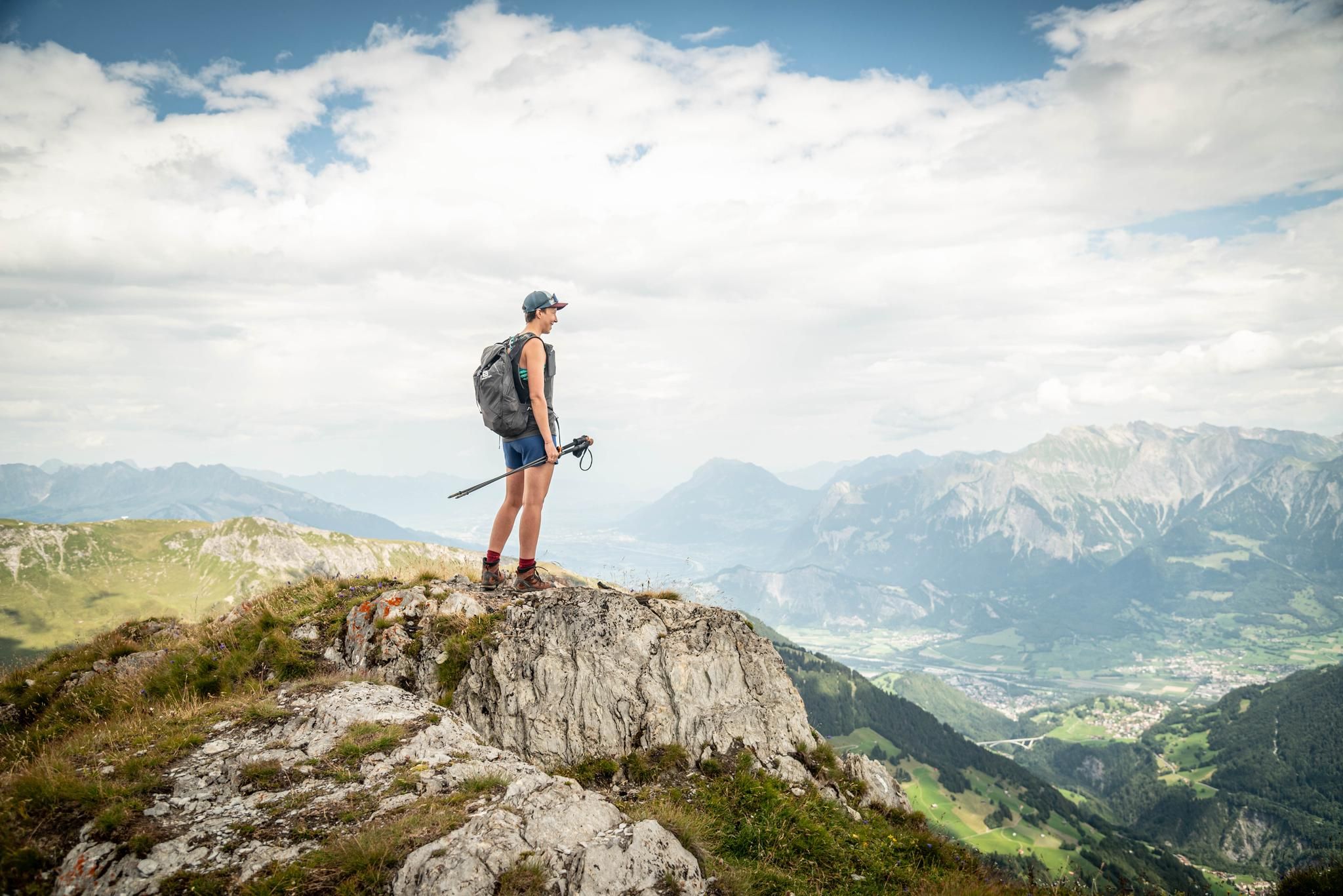
Peak bagging hikes in Heidiland
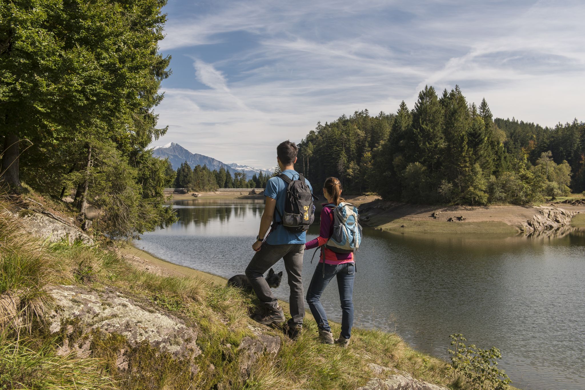
Summer in Eastern Switzerland – 10 hikes in Heidiland
Other adventures in Sarganserland


Tips from the Community


Great view of the beautiful Walensee and the Churfirsten mountains.
7
0
Great view of the beautiful Walensee.
9
0
Far from the noise of the streets, in the heart of the Flumserberg ski area, directly above Lake Walen, lies our idyllically situated hotel & restaurant at 1,650 meters above sea level. The view of the Churfirsten mountains and the local mountain, the Sächsmoor, delights every day. Source: https://share.google/RhRxb8Sb9oVkycB6F
7
0
Great panoramic restaurant with super delicious barley soup 🤤 Great view and many hiking destinations from here.
8
0

At the top there is a small artificial pond and not far away there is a small, mysterious elephant.
0
0

Well-maintained path offers beautiful views of Lake Walen and the Churfirsten
2
0

very pretty here, very pretty
0
1
Frequently Asked Questions
How many bus station hiking trails are available in Sarganserland?
Sarganserland offers a vast network of hiking trails accessible by bus, with nearly 400 routes available. This includes a wide range of options, from easy strolls to challenging alpine treks, ensuring there's something for every hiker.
What kind of natural features can I expect to see on bus-accessible hikes in Sarganserland?
The region is rich in natural beauty. You can discover dramatic alpine peaks, serene lakes like Walensee, and impressive waterfalls such as the Batöni waterfall arena. The Tamina Gorge, with its thermal springs, is another unique natural highlight accessible in the area.
Are there any family-friendly hiking routes from bus stations in Sarganserland?
Yes, Sarganserland has numerous easy hikes and walks perfect for families. Many trails offer gentle terrain and stunning views without being overly strenuous, such as the Pizol panoramic high-altitude trail or the Murgbach Waterfall – Sweet Chestnut Forest loop. Look for routes marked as 'easy' for the best family experience.
Can I find circular hiking routes that start and end at a bus stop?
Absolutely. Many routes in Sarganserland are designed as circular walks, allowing you to return to your starting point without needing additional transport. For example, the Paxmal Peace Monument – View of Lake Walen loop from Brisi is a moderate circular option offering beautiful lake views.
What historical landmarks or attractions can I visit along bus-accessible hiking trails?
Sarganserland blends natural beauty with rich history. You can explore medieval structures like Sargans Castle or the Gräpplang Castle Ruins. The Historic Town of Sargans itself is also a charming destination to explore.
Are there any challenging hikes accessible by bus for experienced hikers?
For experienced hikers seeking a challenge, Sarganserland offers several difficult routes. The Alp Tschingla – View of Lake Walen loop from Walenstadtberg provides significant elevation gain and rewarding panoramic views. Another demanding option is the Chli Güslen – View of Lake Walen loop from Flumserberg.
What do other hikers enjoy most about the bus station trails in Sarganserland?
The bus-accessible trails in Sarganserland are highly rated by the komoot community, with an average score of 4.6 stars from over 5,400 ratings. Reviewers often praise the stunning panoramic views, the well-maintained paths, and the convenience of reaching diverse trailheads via public transport.
Are there any routes that feature lakes or water bodies?
Yes, many trails incorporate the region's beautiful lakes. The Pizol Five Lake Trail is a classic, showcasing five crystal-clear mountain lakes. You can also find routes that offer views of the fjord-like Walensee, such as the Hotel Seebenalp at Lake Grosssee – Maschgenkamm loop from Flumserberg.
What is the best time of year to hike these bus-accessible trails?
The best time to hike in Sarganserland is generally from late spring to early autumn (May to October). During these months, the weather is milder, trails are typically free of snow, and the alpine flora is in full bloom. Some lower-altitude trails may be accessible earlier or later in the season.
Are there any gorges or thermal springs accessible via bus routes?
Yes, the famous Tamina Gorge, home to Europe's most abundant thermal spring, is a significant attraction. You can explore the narrow rock crevice and learn about the healing thermal waters. A 450-meter-long, safe path leads to the spring water grotto, making it a unique destination accessible from nearby bus stops.
Most popular routes in Sarganserland
Most popular attractions in Sarganserland

Get inspired with the komoot mobile app


Didn’t find what you were looking for?
Check out more Hikes throughout Sarganserland below and find the perfect route in your destination.
Explore more
Browse the best Hikes in other regions.
