The best waterfall hikes and walks in Sarganserland
4.6
(5673)
39,612
hikers
40
hikes
Waterfall hiking trails in Sarganserland are set amidst a diverse landscape in Eastern Switzerland, characterized by majestic alpine peaks, deep valleys, and significant bodies of water like Lake Walen. The region features dramatic gorges, such as the Tamina Gorge, and numerous cascades, including the Berschnerfall, carved into the mountainous terrain. Hikers can explore a variety of ecosystems, from high alpine meadows to lower-lying vineyards and the Rhine Valley.
Best waterfall hiking trails in Sarganserland
- The most popular waterfall hiking route is Murgsee pleasure tour, a 6.2 miles (9.9 km) trail that takes 3 hours 28 minutes to complete. This moderate route offers scenic views around the Murgsee lakes.
- Another top favourite among local hikers is Oberer Murgsee Valley – Upper Murg Lake loop from Bachlaui, a difficult 9.0 miles (14.6 km) path. This trail navigates through the upper Murgsee Valley, showcasing alpine scenery and lake views.
- Local hikers also love the Murgbach Waterfall – Middle Murgsee loop from Mornen, a 9.0 miles (14.5 km) trail leading through the Murgbach valley and past waterfalls, often completed in about 6 hours 17 minutes.
- Hiking in Sarganserland is defined by alpine peaks, serene mountain lakes, and dramatic gorges. The extensive network offers options for various ability levels, from easy strolls to challenging alpine expeditions.
- The routes in Sarganserland are highly rated by the komoot community with an average score of 4.6 stars from over 5000 reviews. More than 38000 hikers have used komoot to explore Sarganserland's varied terrain.
Last updated: June 23, 2026
4.8
(75)
613
hikers
9.90km
03:28
550m
550m
Moderate hike. Good fitness required. Mostly accessible paths. Sure-footedness required.
4.9
(324)
2,206
hikers
14.6km
05:58
830m
830m
Hard hike. Very good fitness required. Mostly accessible paths. Sure-footedness required.

Sign up for free
4.7
(9)
48
hikers
14.5km
06:18
1,000m
1,000m
Hard hike. Very good fitness required. Mostly accessible paths. Sure-footedness required.
4.5
(11)
76
hikers
21.9km
07:43
1,250m
1,250m
Hard hike. Very good fitness required. Easily-accessible paths. Suitable for all skill levels.
4.6
(7)
70
hikers
5.03km
01:52
330m
330m
Moderate hike. Good fitness required. Easily-accessible paths. Suitable for all skill levels.
Get access to more routes and recommendations from other explorers.
Sign up for free
Already have an account?
Our route recommendations are based on thousands of hikes, rides, and runs completed by other people on komoot.
Start today with a free account
Your next adventure awaits.
Login or Signup
Popular around Sarganserland
Waterfall hikes in Haut Lieu Tectonique Suisse Sardona
Waterfall hikes around Walensee
Waterfall hikes around Oberer Murgsee
Waterfall hikes around Pumpspeicherkraftwerk Mapragg

Sardona World Heritage Trail – Where the Alps once formed
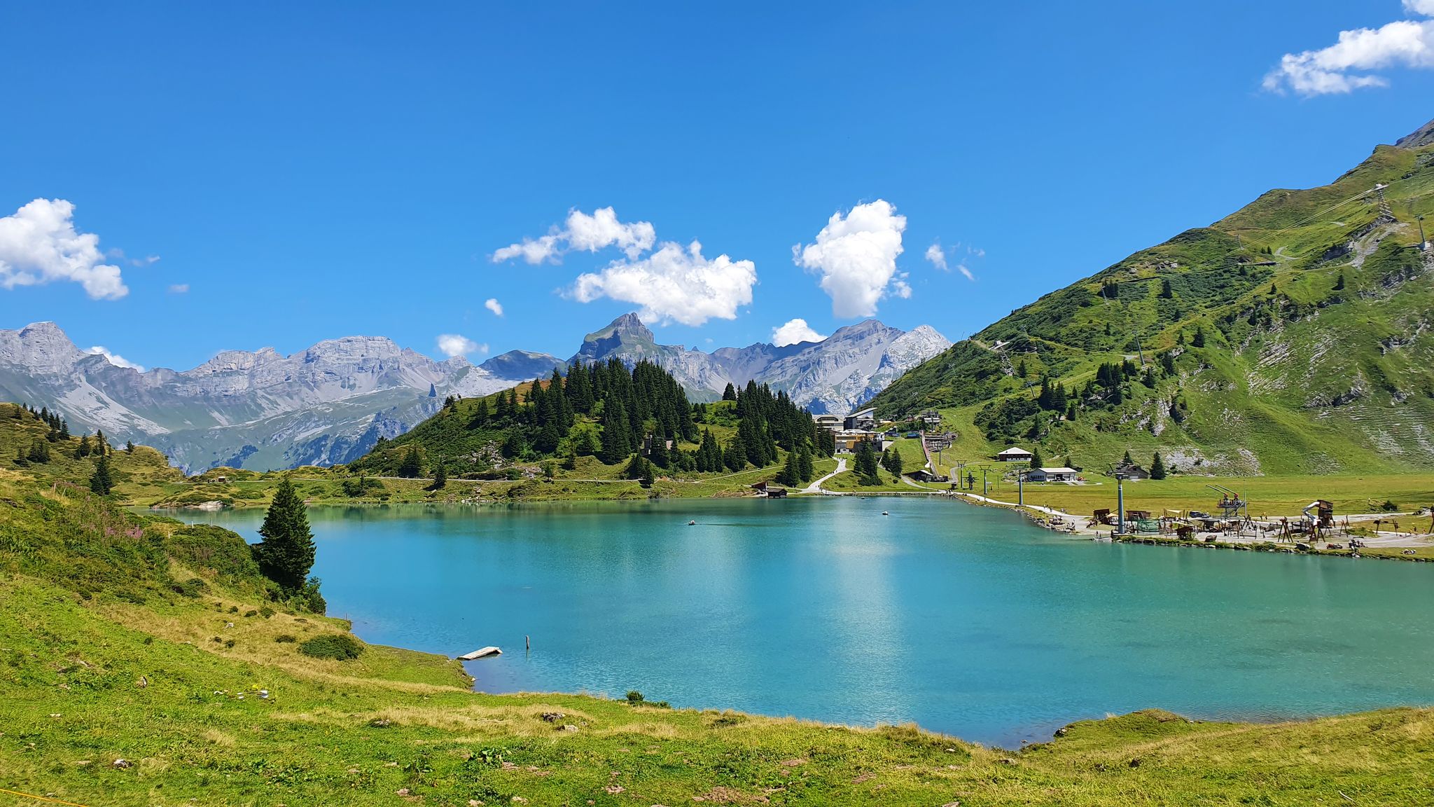
Via Alpina – The 15 stages of the Green Route
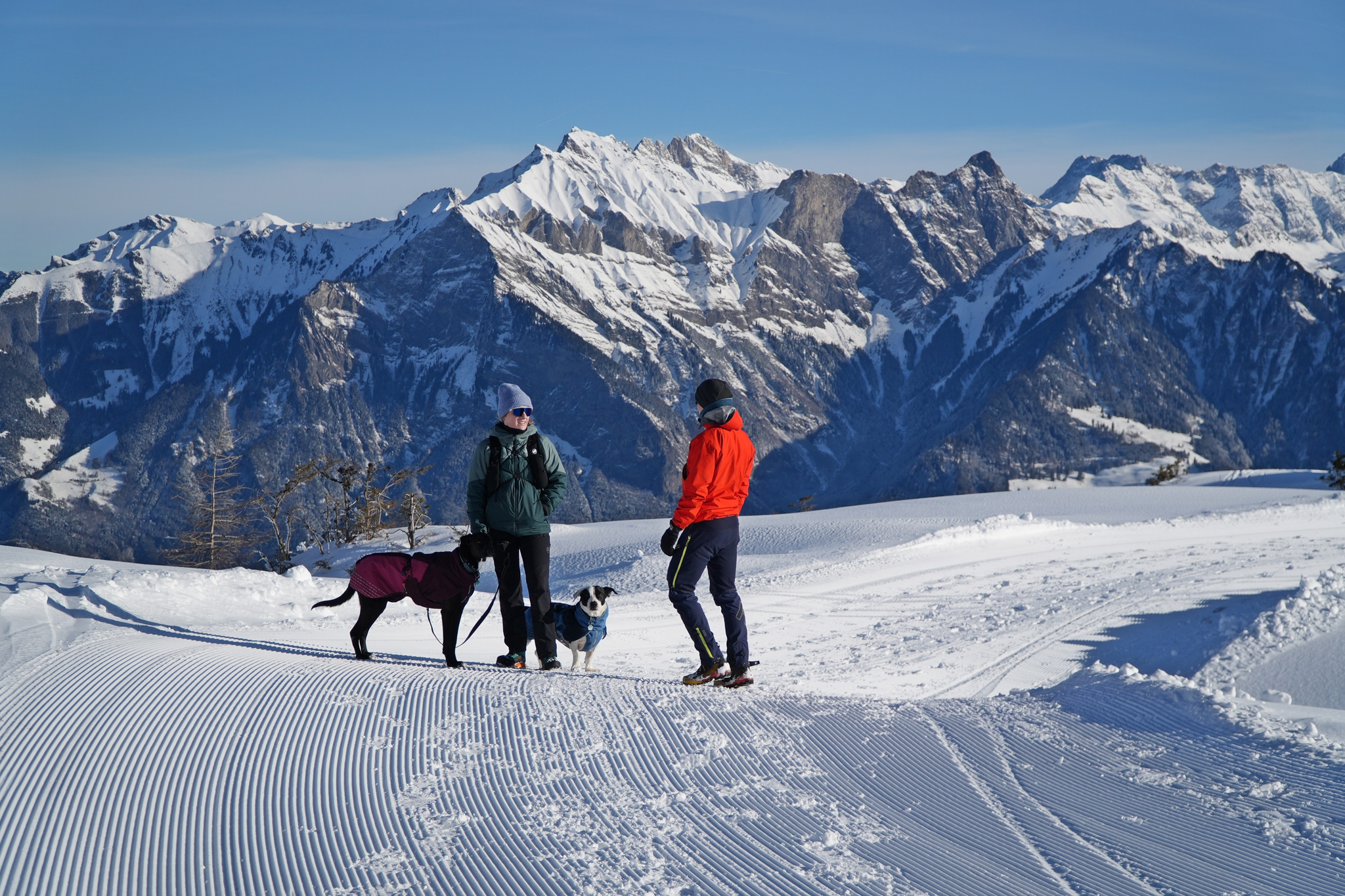
Enchanting winter hikes with dogs in Eastern Switzerland
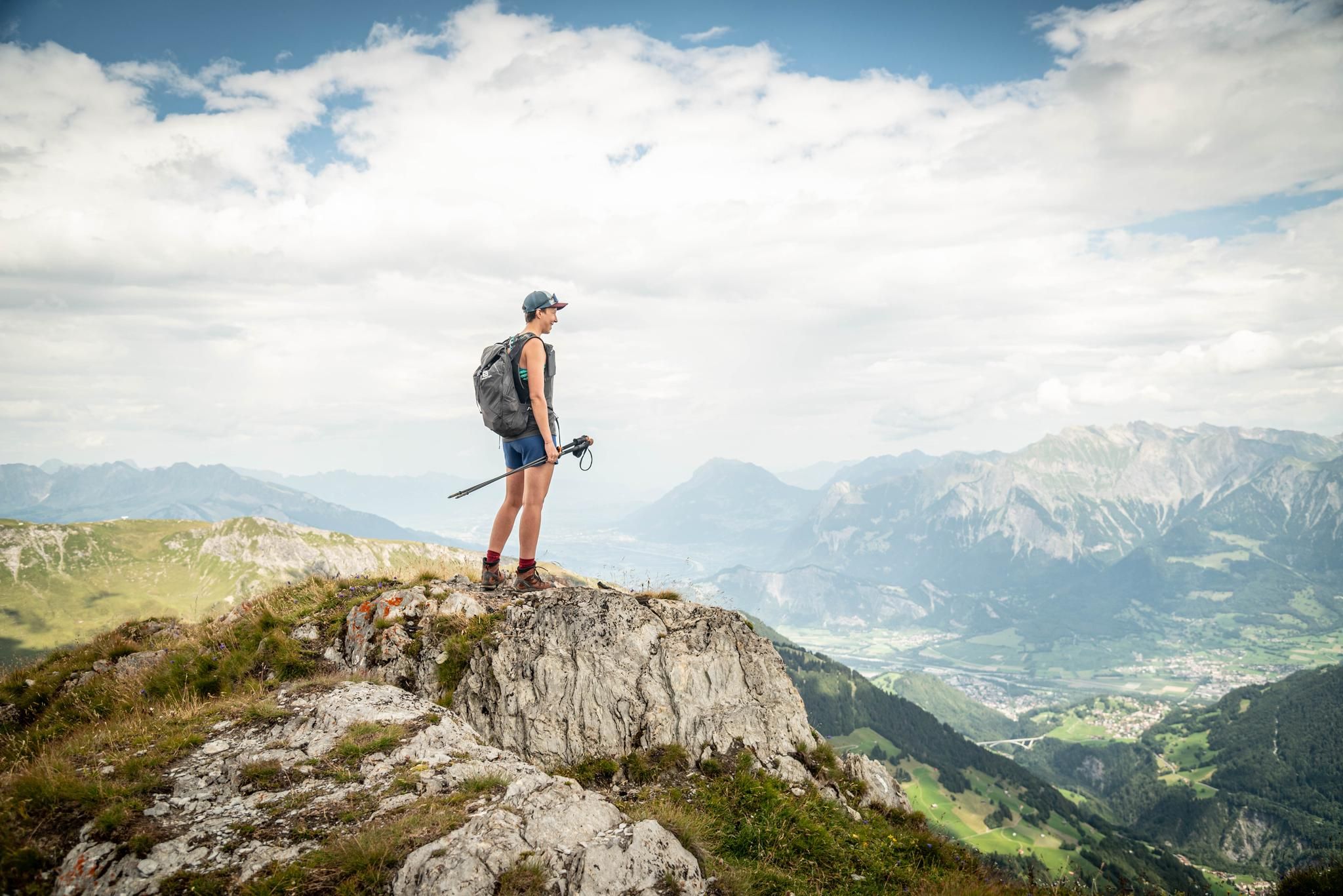
Peak bagging hikes in Heidiland
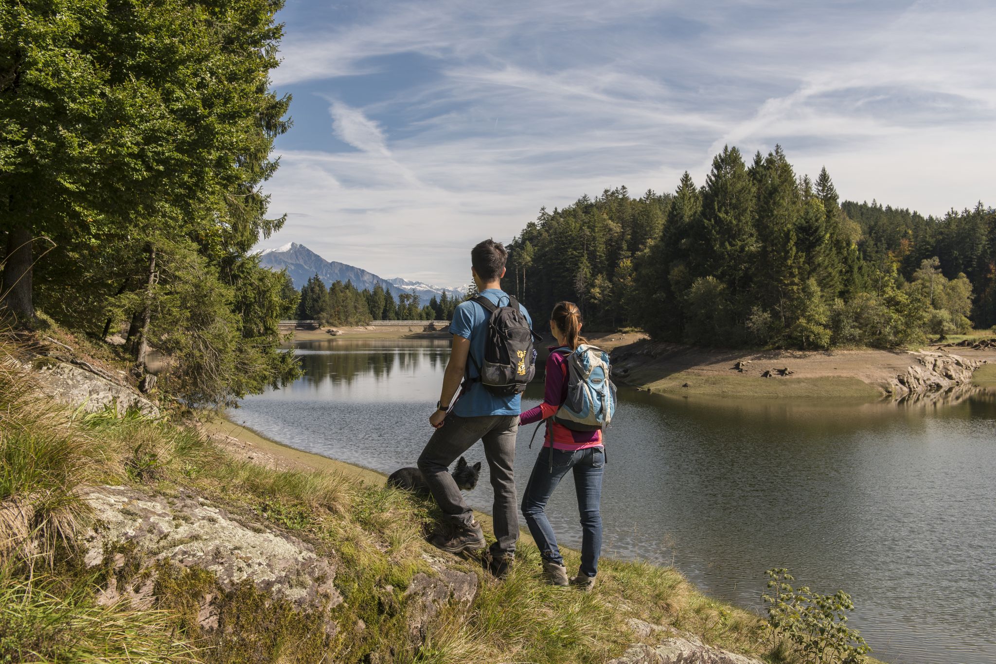
Summer in Eastern Switzerland – 10 hikes in Heidiland

Blue lakes, wide panoramas & autumnal splendour – hiking in Heidiland
Other adventures in Sarganserland


Tips from the Community

Another viewpoint, not entirely easy to find without trail markings.
0
0

My lovelies Today we went to Bad Ragaz :-) This tour, which is easy for me, starts directly at the parking lot at Bad Ragaz train station (address: Unterrainstrasse 1, 7310 Bad Ragaz). There is a parking fee for a full day, which costs CHF 6.00. Important: Payment can only be made with the SBB P+Rail app. Right after the start, after about 1.5 km, the trail begins to climb. After the first climb, the trail continues with a variety of downhill sections, then straight ahead again, and later a short climb. We really enjoyed this tour because the paths are truly varied, very clean, and well-maintained. Time and again, there are beautiful views of the Alps and down to Bad Ragaz. FYI: If you follow the route like I did, there are only a few benches, where we took a break for food and a drink. The first regular places to sit only appear after about 10 kilometers. There are beautiful waterfalls to admire along the way - simply fantastic! We really enjoyed this wonderful hike. Important: For me, it was an easy hike. However, I emphasize again and again: For someone else, it could be quite strenuous. A good level of fitness is definitely necessary. Hiking poles are not essential, but they are certainly helpful for those who would like additional support. Here's the video: relive.com/de/view/vDqg25yVXG6 Highlight: - Very beautiful hike - Pure nature - Beautiful views of the Alps and down to Bad Ragaz offer repeated opportunities - Impressive waterfalls Lowlight: - There are only a few places to sit in the first 10 kilometers. Equipment: Standard hiking gear Information: Easy hike Difficulty level: T1 (Hiking)
0
0


Here the Gsponbach meanders through a lovely raised moor, lined with several stone pines
0
0


The Murgbach, also called the Murg, is a river about 13 kilometers long
11
0
Frequently Asked Questions
How many waterfall hiking trails can I explore in Sarganserland?
Sarganserland offers a rich variety of outdoor experiences, with 38 dedicated waterfall hiking trails. These routes traverse diverse landscapes, from alpine peaks to serene valleys, ensuring there's a path for every preference.
Are there easy waterfall hikes suitable for beginners or families in Sarganserland?
Yes, Sarganserland features 12 easy waterfall hiking trails, perfect for beginners or families looking for a more relaxed outing. These paths often lead through picturesque settings, allowing everyone to enjoy the natural beauty without strenuous effort. For example, the Guschachopf Viewpoint – Waterfall in St. Gallen loop from Bad Ragaz is a moderate option that offers beautiful views over a shorter distance.
What are some of the most impressive waterfalls to visit in Sarganserland?
Sarganserland is home to several captivating waterfalls. The dramatic Berschnerfall, a 46-meter high cascade, is a prominent feature. You can also explore the unique Batöni Waterfall Arena and the scenic Murgbach Waterfall, which is part of several popular hiking routes.
What do other hikers enjoy most about the waterfall trails in Sarganserland?
The komoot community highly rates the waterfall trails in Sarganserland, with an average score of 4.6 stars from over 5,400 reviews. Hikers frequently praise the stunning alpine scenery, the refreshing presence of the waterfalls, and the well-maintained paths that cater to various skill levels. The combination of majestic peaks, serene lakes, and dramatic gorges creates a truly memorable hiking experience.
Are there any circular waterfall hiking routes in Sarganserland?
Yes, many of the waterfall trails in Sarganserland are designed as circular routes, allowing you to start and end at the same point. A popular example is the Murgbach Waterfall – Middle Murgsee loop from Mornen, which guides you through the Murgbach valley and past beautiful cascades, offering a comprehensive experience of the area's natural beauty.
Can I bring my dog on waterfall hikes in Sarganserland?
Many trails in Sarganserland are dog-friendly, allowing you to enjoy the waterfall hikes with your canine companion. However, it's always advisable to check specific trail regulations or local signage, especially in nature reserves or areas with livestock, and to keep your dog on a leash for their safety and that of wildlife.
What is the best time of year to go waterfall hiking in Sarganserland?
The best time for waterfall hiking in Sarganserland is typically from late spring to early autumn (May to October). During this period, the weather is generally milder, snow has melted from most trails, and the waterfalls are often at their most powerful due to snowmelt and rainfall. Always check local weather conditions before heading out.
Are there any challenging waterfall hikes for experienced hikers in Sarganserland?
Absolutely. For experienced hikers seeking a challenge, Sarganserland offers 10 difficult waterfall trails. These routes often involve significant elevation gains and rugged terrain, providing a rewarding alpine experience. The Oberer Murgsee Valley – Upper Murg Lake loop from Bachlaui is a demanding 9-mile path that showcases spectacular alpine scenery and lake views.
What other natural attractions can I see near the waterfall trails in Sarganserland?
Beyond the waterfalls, Sarganserland boasts a wealth of natural wonders. You can explore the dramatic Tamina Gorge, known for its thermal springs, or visit the serene Murgseen, a series of mountain lakes. The region is also part of the UNESCO World Heritage Sardona Tectonic Arena, offering unique geological insights. The majestic Churfirsten peaks and Lake Walen provide breathtaking backdrops to your hikes.
Are there any historical or cultural sites near the waterfall hiking areas?
Yes, Sarganserland blends natural beauty with rich history. Hikers can discover sites like Sargans Castle with its folk museum, or the ruins of Alt Wartburg. The region is also close to the Gonzen Iron Mine, a fascinating historical site. These attractions offer a glimpse into the area's past, complementing the natural splendor of the waterfall trails.
How can I reach the waterfall hiking trails in Sarganserland using public transport?
Sarganserland is well-connected by public transport, making many trailheads accessible by train and bus. Key areas like Bad Ragaz and Walenstadt serve as good starting points. It's recommended to check the local public transport schedules (SBB) for specific routes and connections to the trailheads you plan to visit.
Are there places to eat or stay near the waterfall hiking trails?
Yes, throughout Sarganserland, you'll find various options for refreshments and accommodation. Traditional Swiss mountain huts are often located along hiking trails, offering places to rest and enjoy local dishes. Additionally, towns like Bad Ragaz and Sargans provide a range of restaurants and hotels for hikers looking to extend their stay.
Most popular routes in Sarganserland
Most popular attractions in Sarganserland

Get inspired with the komoot mobile app


Didn’t find what you were looking for?
Check out more Hikes throughout Sarganserland below and find the perfect route in your destination.
Explore more
Browse the best Hikes in other regions.
