The 20 Most Amazing Peaks around Vilminore Di Scalve
Mountain peaks around Vilminore Di Scalve, nestled in the Orobie Alps, offer diverse terrain and notable viewpoints for outdoor enthusiasts. This region features a variety of natural features, including prominent summits and historical landmarks. The area is known for its extensive network of hiking trails, catering to different levels of terrain elevation difficulty. These mountains provide opportunities for exploring the natural beauty of the Bergamasque Orobie.
Best mountain peaks around Vilminore Di Scalve
- The most popular mountain peaks is Città…
Last updated: September 26, 2026
Città di Clusone bivouac
Highlight • Mountain Hut
Translated by Google •
Tip by

Savina Chapel
Highlight • Religious Site
Translated by Google •
Tip by
Sign up now to discover places like this
Get recommendations on the best single tracks, peaks, & plenty of other exciting outdoor places.
Cimon della Bagozza Hut
Highlight • Mountain Hut
Translated by Google •
Tip by

Pizzo Corzene
Highlight • Summit
Translated by Google •
Tip by

Western Summit of the Presolana
Highlight • Summit
vienormali.it/mobile/cima-scheda.asp?cod=524
sassbaloss.com/pagine/uscite/presolana/presolana.htm
Translated by Google •
Tip by

Sign up for free to discover even more peaks around Vilminore Di Scalve.
Already have an account?
Start today with a free account
Your next adventure awaits.
Popular around Vilminore Di Scalve

Path of the Iron Woods in Northern Italy – Via Decia
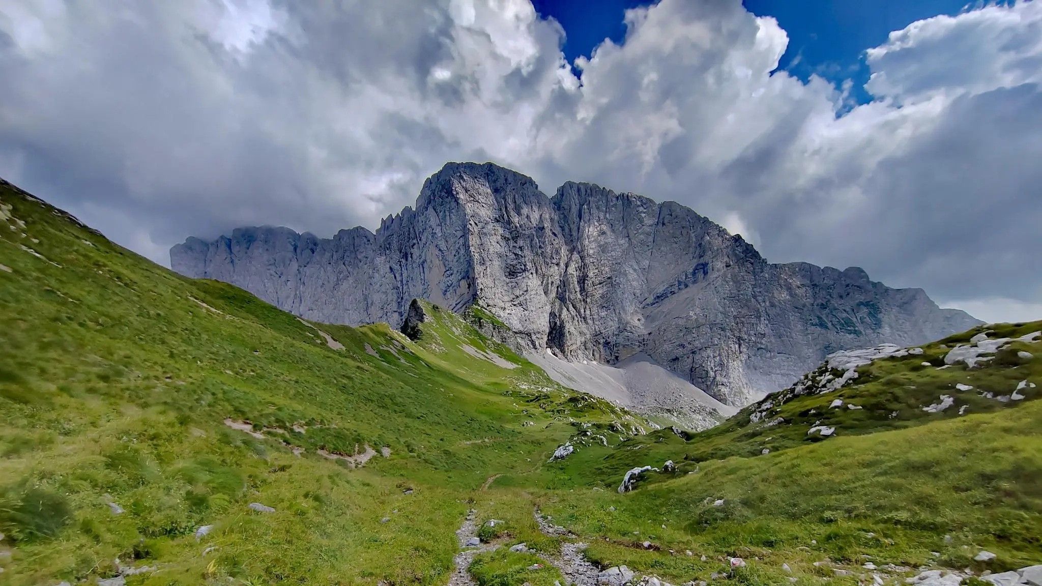
Trekking in val di Scalve – among the Piccoli Dolomiti Bergamasche
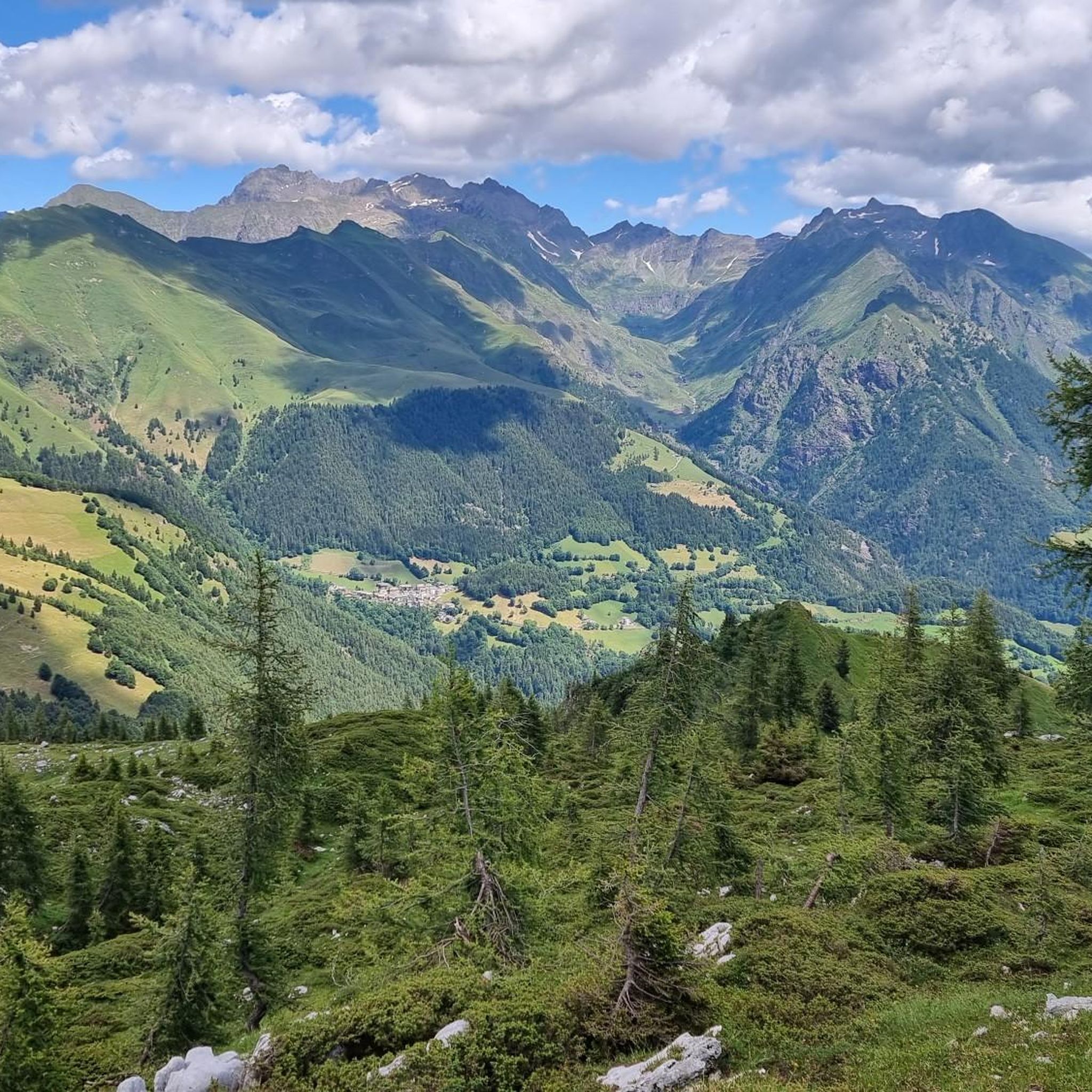
Hiking around Vilminore Di Scalve
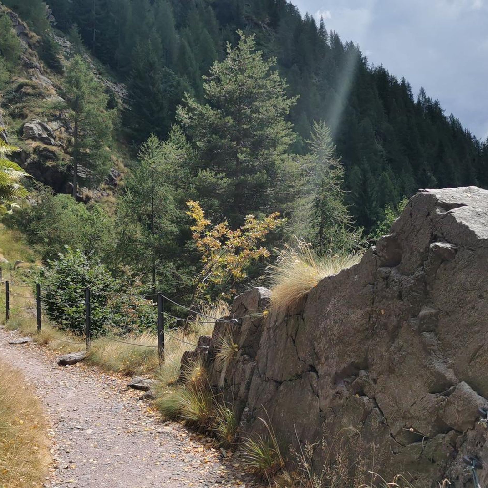
MTB Trails around Vilminore Di Scalve
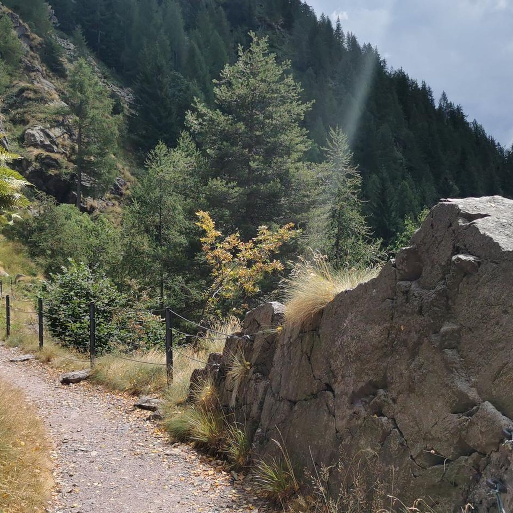
Road Cycling Routes around Vilminore Di Scalve
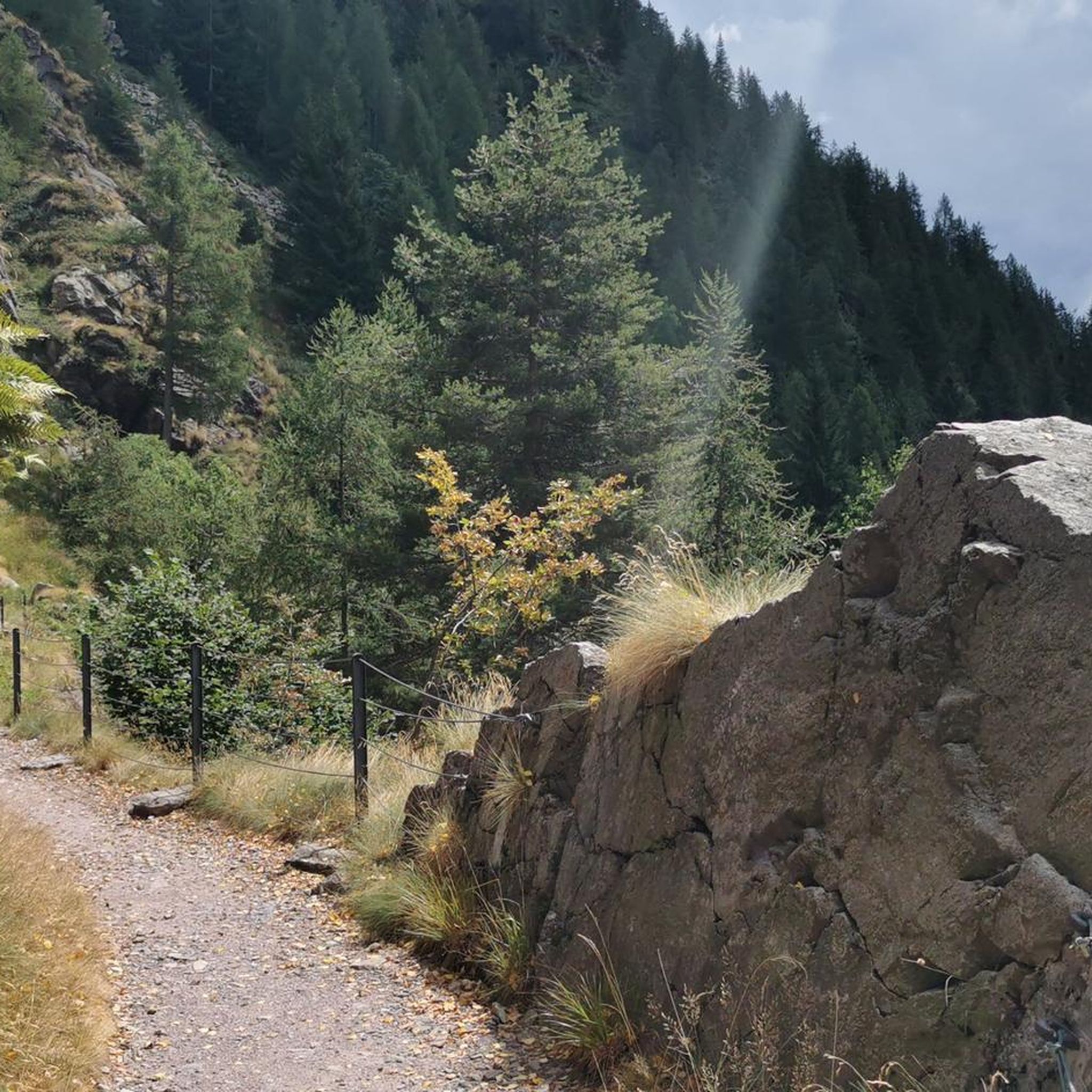
Cycling around Vilminore Di Scalve
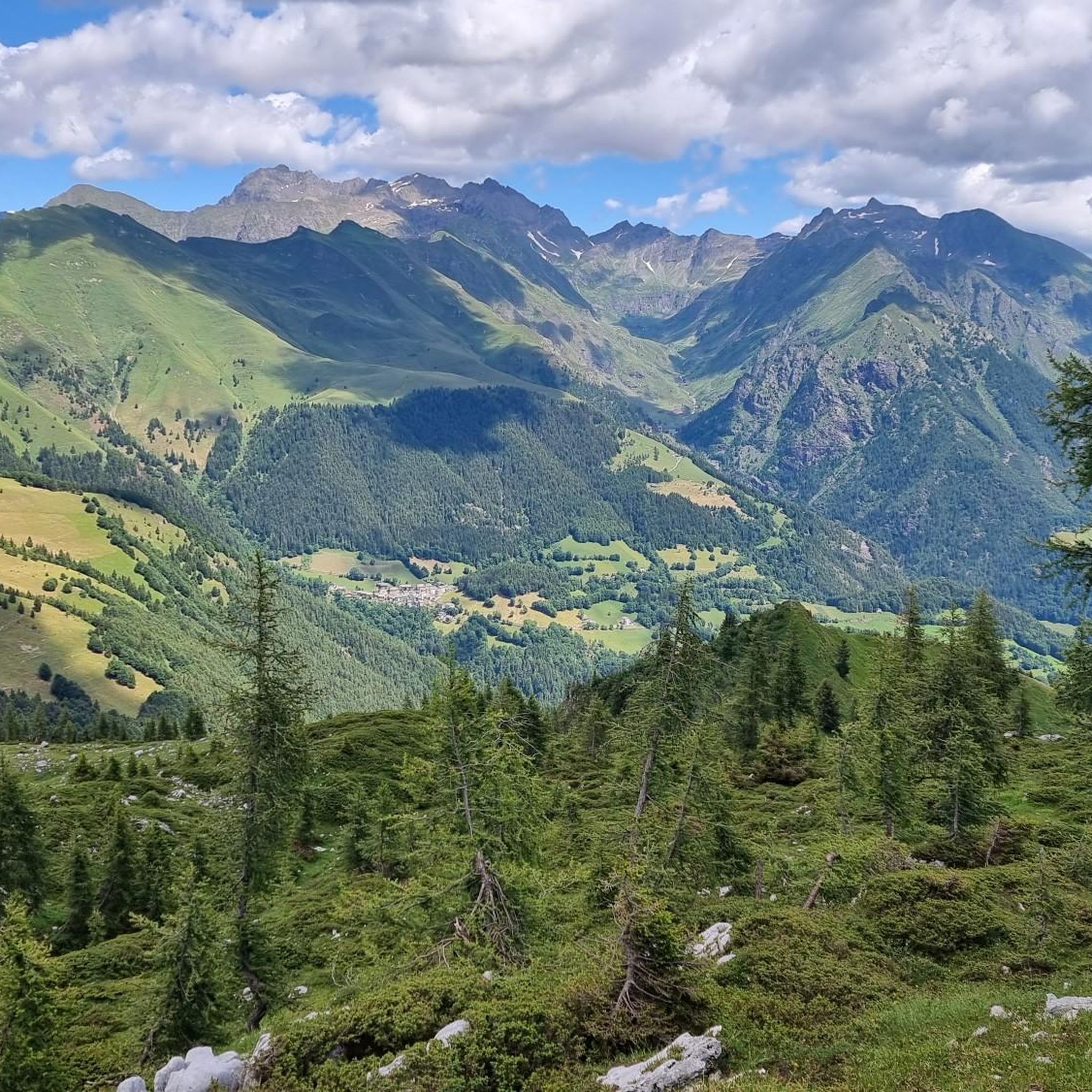
Running Trails around Vilminore Di Scalve

Mountain Hikes around Vilminore Di Scalve

Gravel biking around Vilminore Di Scalve

Tips from the Community

Very kind and friendly staff
0
0

The Cimon della Bagozza Refuge is located at 1,600 meters above sea level in the beautiful Conca dei Campelli, in the municipality of Schilpario (BG), in the Scalve Valley. It is an ideal destination for hikers, families, and snowshoers, nestled in the so-called "Little Bergamo Dolomites." 🏡 Main Information Management: Cimon della Bagozza Alpine Group – Manager Silvio Visini Phone: 0346 56300 Email: rifugiobagozza@hotmail.it Altitude: 1,600 m Beds: approximately 50 (35 indoors) Cuisine: Traditional Bergamo cuisine – the "Polenta e quel che c'è" menu is famous Open all year round Pets allowed 🥾 How to get there From Fondi di Schilpario: approximately 1 hour on foot, elevation gain +350 m By car: In summer, you can get very close to the refuge by parking in Cimalbosco Trails: CAI 419 and 428, also ideal for families and beginners ❄️ In winter The refuge is open even in the snow and is a perfect destination For: Snowshoeing Hiking with crampons Family weekend in the snow Always check the avalanche bulletin (ARPA Lombardia) before leaving 🌄 What to see nearby Lake Campelli Madonnina dei Campelli Mount Campioncino Don Giulio Corini Bivouac Cimon della Bagozza (2,407 m) – for experienced hikers
0
0

Low altitude refuge, it has the great advantage of being reachable by car thanks to the road that leads to the Vivione pass. Well maintained.
0
0

The view is truly spectacular, worth every drop of sweat.
0
0

Small refuge, starting/stopping point for various paths in the upper Scalve valley
0
0

The Queen of the Orobie 😍 I was accompanied by a super expert and so I went up and down safely even tied up. There are those who move more easily and without a rope. The satisfaction is still great.
0
0

Small open chapel at an altitude of 2085m, just above the Città di Clusone bivouac, in memory of the dead of Presolana, right under its majestic walls.
1
0

Clearly visible from all the surrounding paths, and also popular. I saw many hikers passing through in high season.
4
0
Frequently Asked Questions
What are some of the most notable mountain peaks and viewpoints around Vilminore di Scalve?
The region offers several captivating peaks and viewpoints. Pizzo Corzene stands at 2,196 meters, providing expansive panoramic views of the Presolana massif and the valley. The Western Summit of the Presolana also offers spectacular vistas. For a unique experience, the Savina Chapel, located at 2,085 meters, serves as an important reference point with a wide panorama.
Are there any mountain huts or bivouacs available for overnight stays?
Yes, the Città di Clusone bivouac is a small, well-maintained shelter near the Savina Chapel, offering the chance to witness breathtaking sunsets and sunrises. Additionally, the Cimon della Bagozza Hut is a traditional refuge that serves as a support point for numerous excursions in the Conca dei Campelli.
What is the best time of year to visit the mountain peaks in Vilminore di Scalve?
The mountains around Vilminore di Scalve are appealing throughout the year. While many trails are popular in summer, peaks like Pizzo Corzene are also a classic destination in winter. Always check weather conditions, especially for higher altitudes, as snow can be present in colder months.
Are there family-friendly hiking options among the mountain peaks?
Yes, the area offers trails suitable for various fitness levels. The Cimon della Bagozza Hut is noted as family-friendly and can be reached by car in summer, serving as a starting point for excursions. While some peaks are challenging, many CAI trails cater to less experienced hikers, offering diverse landscapes from forests to panoramic points.
What kind of terrain and difficulty can I expect on the mountain trails?
The mountains around Vilminore di Scalve feature diverse landscapes, from lush forests to gravelly scree. Trails vary in difficulty; for example, the path to Savina Chapel is technically not difficult but can be physically demanding. Peaks like Western Summit of the Presolana are considered challenging and may require a helmet due to potential rockfall.
What other outdoor activities can I do near the mountain peaks of Vilminore di Scalve?
Beyond hiking, the region is excellent for cycling. You can explore various routes for touring bicycles, mountain bikes, and road cycling. For example, there are challenging touring bicycle routes like the Vivione Pass – Schilpario loop, or mountain bike trails such as the Beautiful gravel road – San Fermo Hut loop. Find more details on these activities in the Cycling around Vilminore Di Scalve, MTB Trails around Vilminore Di Scalve, and Road Cycling Routes around Vilminore Di Scalve guides.
Are there specific CAI trails to reach certain peaks?
Yes, the area is well-served by CAI trails. For instance, Monte Sasna is accessible via CAI Trail 409 from Nona, taking approximately 3 hours and 30 minutes. Pizzo Tornello can be reached by following CAI Trail 412 from Vilmaggiore, a more strenuous 5-hour trek. Pizzo di Petto is reached via CAI Trail 431 from Teveno in about 3 hours.
What natural features are prominent in the Vilminore di Scalve mountain region?
The region is characterized by its diverse natural beauty, including prominent summits, deep valleys, and varied landscapes ranging from gravelly scree to lush forests. The Orobie Alps provide a dramatic backdrop, and the area is known for its extensive network of trails that allow for immersive nature experiences.
What do visitors enjoy most about the mountain peaks around Vilminore di Scalve?
Visitors frequently praise the breathtaking panoramic views, especially from points like Pizzo Corzene and the Western Summit of the Presolana. The opportunity to experience stunning sunsets and sunrises from places like the Città di Clusone bivouac is also highly valued. The diverse trails catering to various fitness levels and the immersive natural beauty of the Bergamasque Orobie are also key attractions.
How long does it take to hike to the <a href="https://www.komoot.com/highlight/3137508" target="_blank" rel="noopener">Città di Clusone bivouac</a>?
The Città di Clusone bivouac can be reached in approximately 1 hour and 45 minutes from the Presolana Pass.
Are there any historical or religious landmarks among the peaks?
Yes, the Savina Chapel is a significant religious building located at 2,085 meters above sea level. It serves as an important reference point for hikers and mountaineers and was built in memory of those who fell on the Presolana, dedicated to Savina Barzasi.
Most popular routes around Vilminore Di Scalve
Most popular attractions around Vilminore Di Scalve

Get inspired with the komoot mobile app


Explore more
See even more amazing summits around Vilminore Di Scalve with these guides:
