The best walks and hikes around Vilminore Di Scalve
4.5
(1042)
6,223
hikers
51
hikes
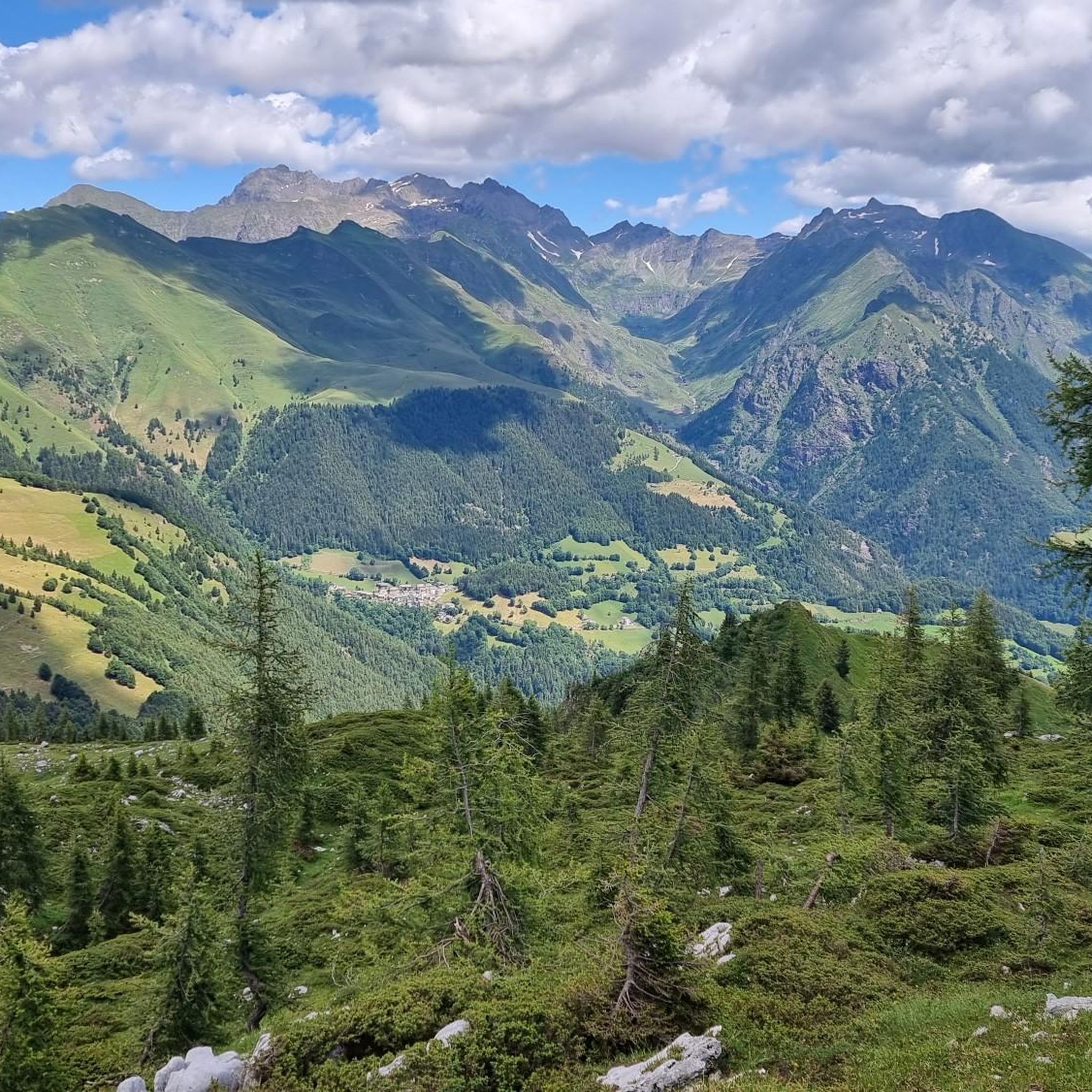
Hiking around Vilminore Di Scalve offers diverse landscapes within the Val di Scalve and the surrounding Orobie Alps. The region is characterized by rugged mountains, lush forests, and valleys carved by rivers like the Dezzo. Hikers encounter a variety of terrain, from alpine pastures and serene valleys to challenging mountain ascents, providing options for different skill levels and showcasing the natural features of the Italian Apennines.
Best hiking trails around Vilminore Di Scalve
- The most popular hiking route is Hike from Vilminore to the Gleno dam, a 4.5 miles (7.3 km) trail that takes 2 hours 47 minutes to complete. This moderate route leads to the historic Gleno Dam ruins.
- Another top favourite among local hikers is Pizzo Tornello Summit Trail from Vilmaggiore (via CAI Route 412), a difficult 7.6 miles (12.3 km) path. This trail features significant elevation gain, leading to panoramic views from Pizzo Tornello.
- Local hikers also love the Sintér de Ólt Trail, a 4.4 miles (7.0 km) trail leading through varied terrain, often completed in about 2 hours 31 minutes.
- Hiking around Vilminore Di Scalve is defined by alpine lakes, mountain peaks, and dense pine woods. The extensive network of trails offers options for various ability levels, from easy walks to challenging summit ascents.
- The routes in Vilminore Di Scalve are highly rated by the komoot community with an average score of 4.4 stars from over 1000 reviews. More than 6000 hikers have used komoot to explore Vilminore Di Scalve's varied terrain.
Last updated: July 7, 2026
4.7
(103)
556
hikers
7.30km
02:48
430m
430m
Moderate hike. Good fitness required. Mostly accessible paths. Sure-footedness required.
4.6
(30)
204
hikers
16.1km
08:16
1,340m
1,340m
Hard hike. Very good fitness required. Mostly accessible paths. Sure-footedness required.

Sign up for free
4.5
(15)
95
hikers
12.3km
08:11
1,540m
1,540m
Hard hike. Very good fitness required. Sure-footedness, sturdy shoes and alpine experience required.
4.5
(15)
90
hikers
11.9km
08:01
1,520m
1,520m
Hard hike. Very good fitness required. Sure-footedness, sturdy shoes and alpine experience required.
4.1
(7)
44
hikers
7.03km
02:32
440m
440m
Moderate hike. Good fitness required. Easily-accessible paths. Suitable for all skill levels.
Get access to more routes and recommendations from other explorers.
Sign up for free
Already have an account?
Our route recommendations are based on thousands of hikes, rides, and runs completed by other people on komoot.
Start today with a free account
Your next adventure awaits.
Login or Signup
Popular around Vilminore Di Scalve

Path of the Iron Woods in Northern Italy – Via Decia
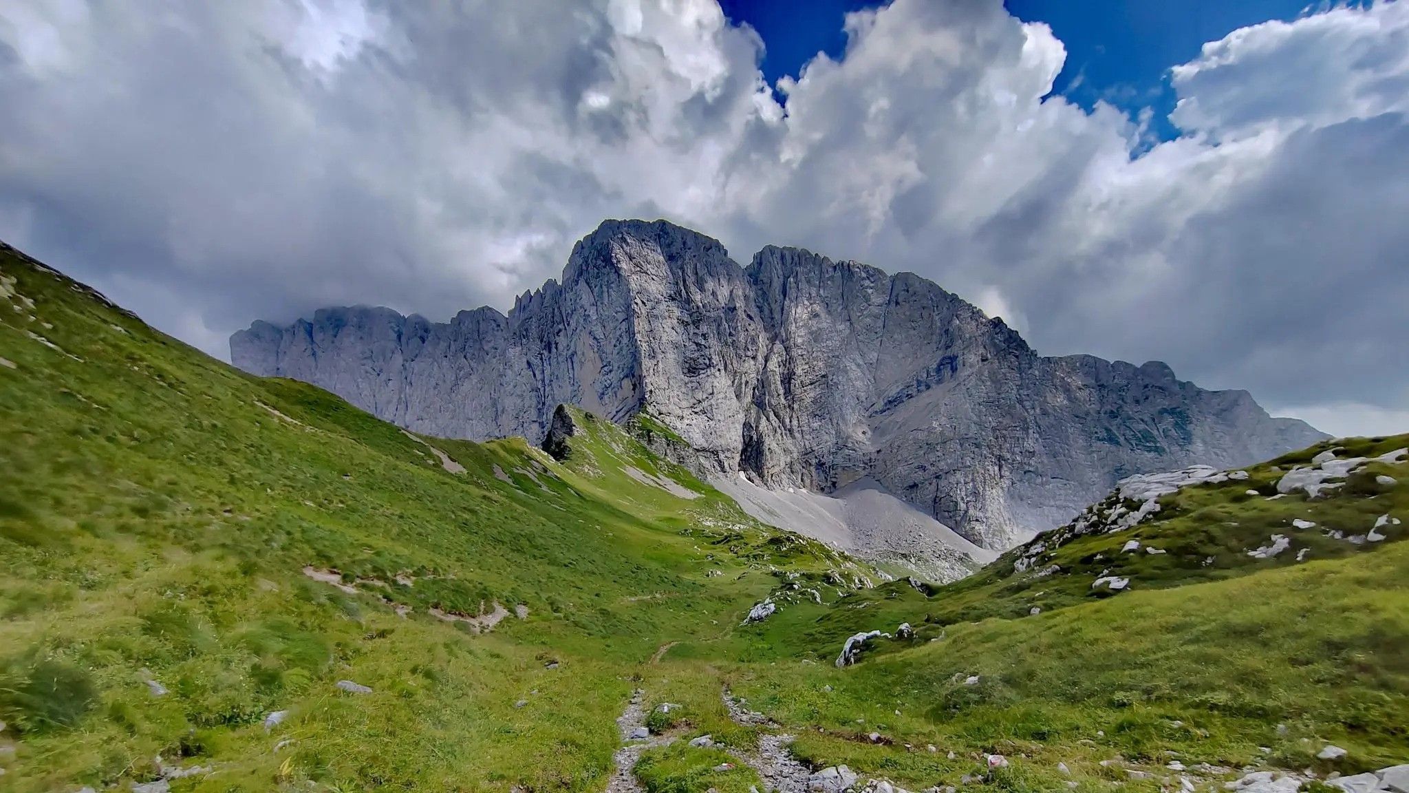
Trekking in val di Scalve – among the Piccoli Dolomiti Bergamasche
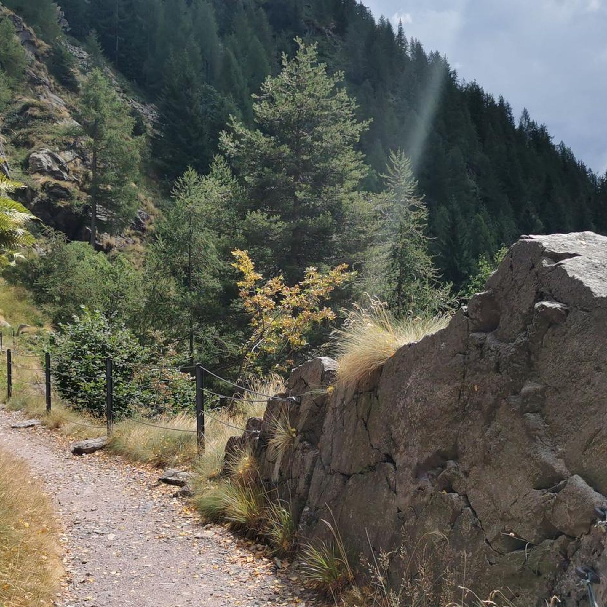
Road Cycling Routes around Vilminore Di Scalve
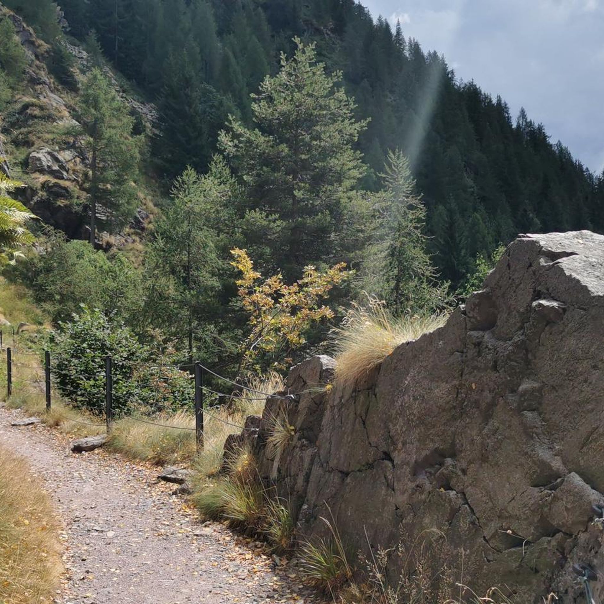
Cycling around Vilminore Di Scalve
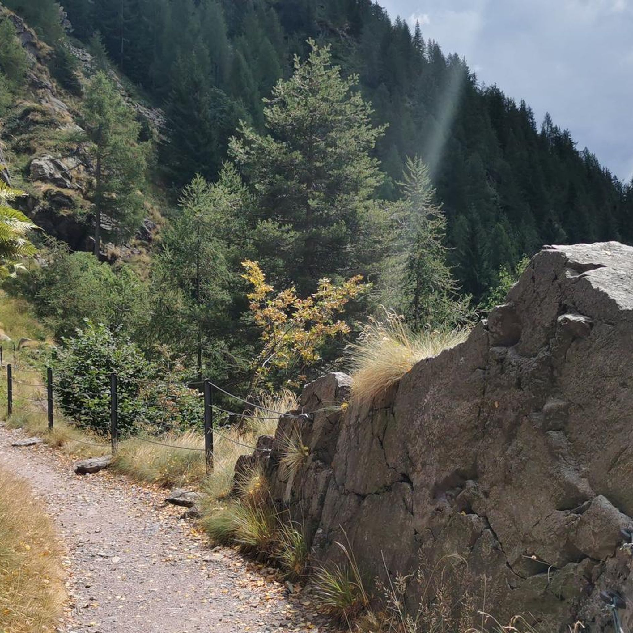
MTB Trails around Vilminore Di Scalve
Running Trails around Vilminore Di Scalve

Mountain Hikes around Vilminore Di Scalve

Gravel biking around Vilminore Di Scalve

Tips from the Community


A place of haunting beauty, steeped in history and memories. Walking at the foot of the Gleno Dam is a deeply moving experience. In my video, I recount the history and emotion of this place. Watch it for the full adventure: https://youtu.be/xOmoTKIHDm0
1
0

wonderful place but better to avoid crowded periods
0
0


Beautiful view. Except for the fact that you have to walk a bit to get there from Vilmaggiore the trail is not dangerous at all.
0
0
Beautiful. I reached it from Vilmaggiore. If you still have legs it is also beautiful to reach Pizzo Tornello.
0
0
Bella was my salvation when it started to rain
0
0

Frequently Asked Questions
How many hiking trails are available in Vilminore Di Scalve?
The Vilminore Di Scalve region offers a wide variety of hiking opportunities, with over 50 distinct trails recorded. These range from easy strolls through valleys to challenging ascents in the Orobie Alps.
Are there easy or beginner-friendly hiking trails in Vilminore Di Scalve?
Yes, there are several easy trails suitable for beginners or those looking for a relaxed walk. The region features serene paths through tranquil valleys and picturesque alpine pastures, offering gentle terrain. Approximately 8 of the recorded routes are considered easy.
What kind of natural features can I expect to see while hiking in the Val di Scalve?
Hikers in the Val di Scalve will encounter diverse landscapes, including the majestic Orobie Alps with their dolomitic peaks and emerald pine woods. You can explore rugged valleys carved by rivers, lush forests, and beautiful alpine lakes like Lake Lova. The scenery transforms with the seasons, offering spring wildflowers and vibrant autumn foliage.
Are there any hikes that feature waterfalls in the area?
Yes, the region boasts several beautiful waterfalls. The Vò waterfall, a 25-meter cascade near Schilpario, and the Travertino waterfall, accessible via the historic Via Mala, are notable natural attractions. You can find more details about these and others in the Waterfalls around Vilminore Di Scalve guide, including highlights like the Vò Waterfall.
Can I find circular hiking routes around Vilminore Di Scalve?
Many of the trails in the Val di Scalve are designed as circular routes, allowing you to start and end your hike in the same location. This is common for trails exploring specific valleys, peaks, or historical sites, providing a varied experience without retracing your steps.
What historical landmarks can be explored on a hike near Vilminore Di Scalve?
A significant historical landmark is the Gleno Dam, the haunting ruins of which are a popular hiking destination. Trails like the Hike from Vilminore to the Gleno dam lead directly to it. Additionally, the ancient road carved into rocky cliffs known as the Via Mala offers a unique historical and geological experience.
Are there family-friendly hiking options in Vilminore Di Scalve?
Absolutely. Beyond the easier trails, the Alpine Arboretum Gleno, located near the start of the Gleno Dam trail, is a 6000 sq meter park showcasing local trees and shrubs, providing an educational and relaxing stop suitable for families. Many of the valley walks are also suitable for families.
Is Vilminore Di Scalve a good destination for dog-friendly walks?
The natural environment of Vilminore Di Scalve and the Val di Scalve is generally very welcoming for dogs. With vast open spaces, forests, and numerous trails, it's an excellent area for walking with your canine companion. Always ensure your dog is under control and respect local wildlife and livestock.
What is the best time of year to go hiking in Vilminore Di Scalve?
The region offers beauty year-round, but spring and autumn are particularly popular. Spring brings vibrant wildflowers, while autumn showcases stunning foliage. Summer is ideal for higher altitude treks, though some trails may be accessible in winter for snowshoeing, depending on conditions.
Are there options for parking at trailheads in Vilminore Di Scalve?
Yes, most trailheads in and around Vilminore Di Scalve, especially those leading to popular destinations like the Gleno Dam or Pizzo Tornello, have designated parking areas. It's advisable to check specific route details for precise parking information, particularly during peak season.
How accessible are the hiking trails in Vilminore Di Scalve by public transport?
While Vilminore Di Scalve is a mountain village, some public transport options exist, primarily bus services connecting to larger towns. However, for direct access to many trailheads, especially those higher in the mountains, personal transport is often more convenient. Always check local bus schedules in advance.
What do other hikers say about their experience in Vilminore Di Scalve?
The area is highly rated by the komoot community, with an average score of 4.4 stars from over 1000 reviews. Hikers frequently praise the diverse landscapes, from rugged mountains to serene valleys, and the well-maintained network of trails that cater to various skill levels.
Are there any challenging summit hikes in the region?
For experienced hikers seeking a challenge, the Orobie Alps surrounding Vilminore Di Scalve offer several rewarding summit ascents. Peaks like Pizzo Tornello provide significant elevation gain and panoramic views. An example is the difficult Pizzo Tornello Summit Trail from Vilmaggiore (via CAI Route 412).
Most popular routes around Vilminore Di Scalve
Most popular attractions around Vilminore Di Scalve

Get inspired with the komoot mobile app


Explore more
Browse the best Hikes in other regions.
