The best road cycling routes around Vilminore Di Scalve
4.5
(21)
1,390
riders
23
rides
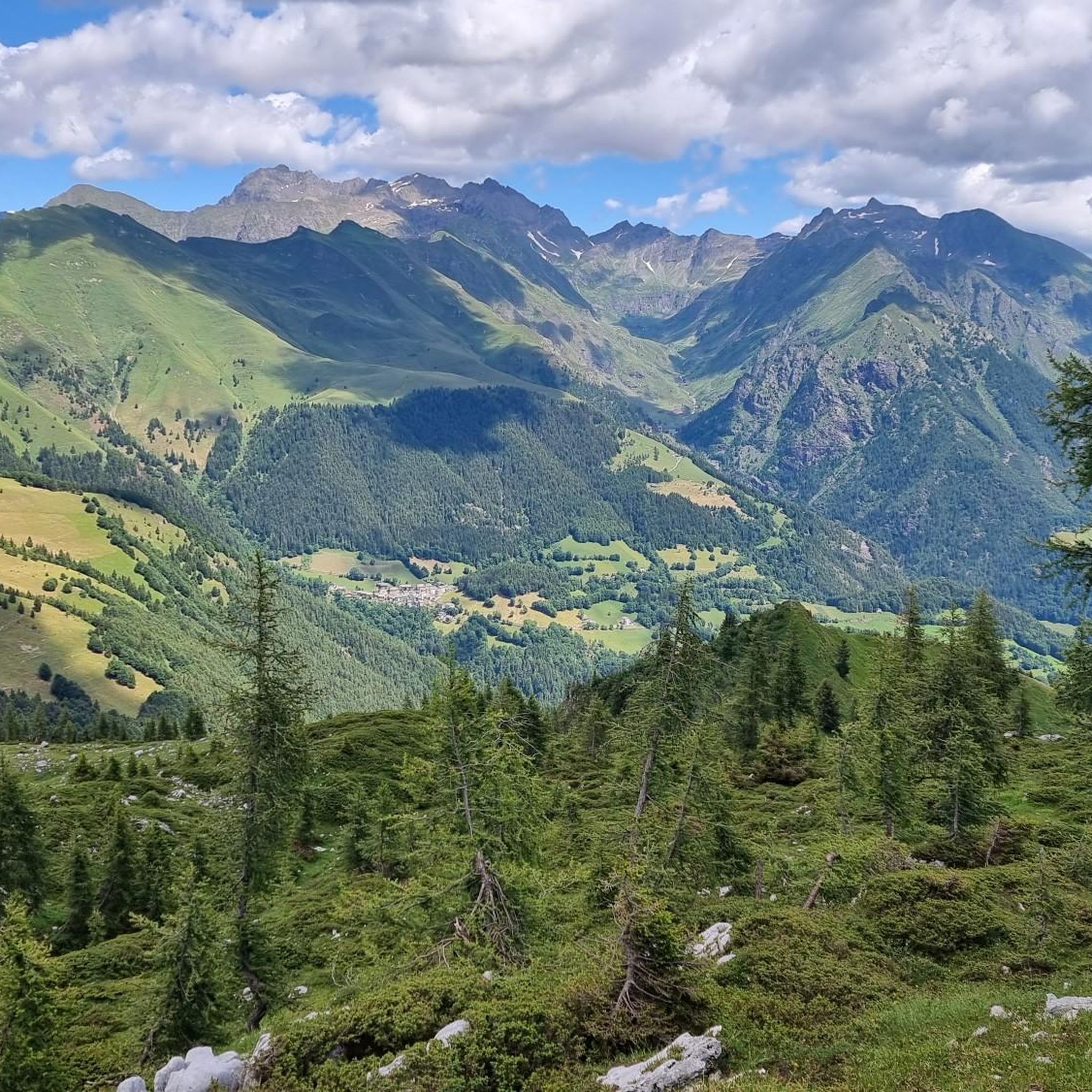
Road cycling routes around Vilminore Di Scalve traverse a mountainous landscape characterized by significant elevation changes and alpine passes. The region features winding roads that ascend through valleys and offer views of the surrounding peaks. Road cyclists can expect challenging climbs and descents, with routes often leading to high mountain passes.
Best road cycling routes around Vilminore Di Scalve
- The most popular road cycling route is Ascent to Passo Vivione from Schilpario, a 15.6 miles (25.1 km) trail that…
Last updated: July 8, 2026
4.0
(2)
39
riders
25.1km
01:36
740m
740m
Ascend to Passo Vivione from Schilpario on this moderate 15.6-mile (25.1 km) road cycling route through varied alpine scenery.
4.8
(5)
193
riders
67.9km
03:51
1,520m
1,530m
Hard road ride. Very good fitness required. Mostly well-paved surfaces and easy to ride.

Sign up for free
5.0
(1)
55
riders
35.4km
02:06
880m
890m
Moderate road ride. Good fitness required. Mostly well-paved surfaces and easy to ride.
54
riders
72.7km
04:25
1,880m
1,880m
Hard road ride. Very good fitness required. Mostly well-paved surfaces and easy to ride.
27
riders
27.9km
01:36
610m
610m
Moderate road ride. Good fitness required. Mostly well-paved surfaces and easy to ride.
Get access to more routes and recommendations from other explorers.
Sign up for free
Already have an account?
Our route recommendations are based on thousands of hikes, rides, and runs completed by other people on komoot.
Start today with a free account
Your next adventure awaits.
Login or Signup
Popular around Vilminore Di Scalve

Path of the Iron Woods in Northern Italy – Via Decia
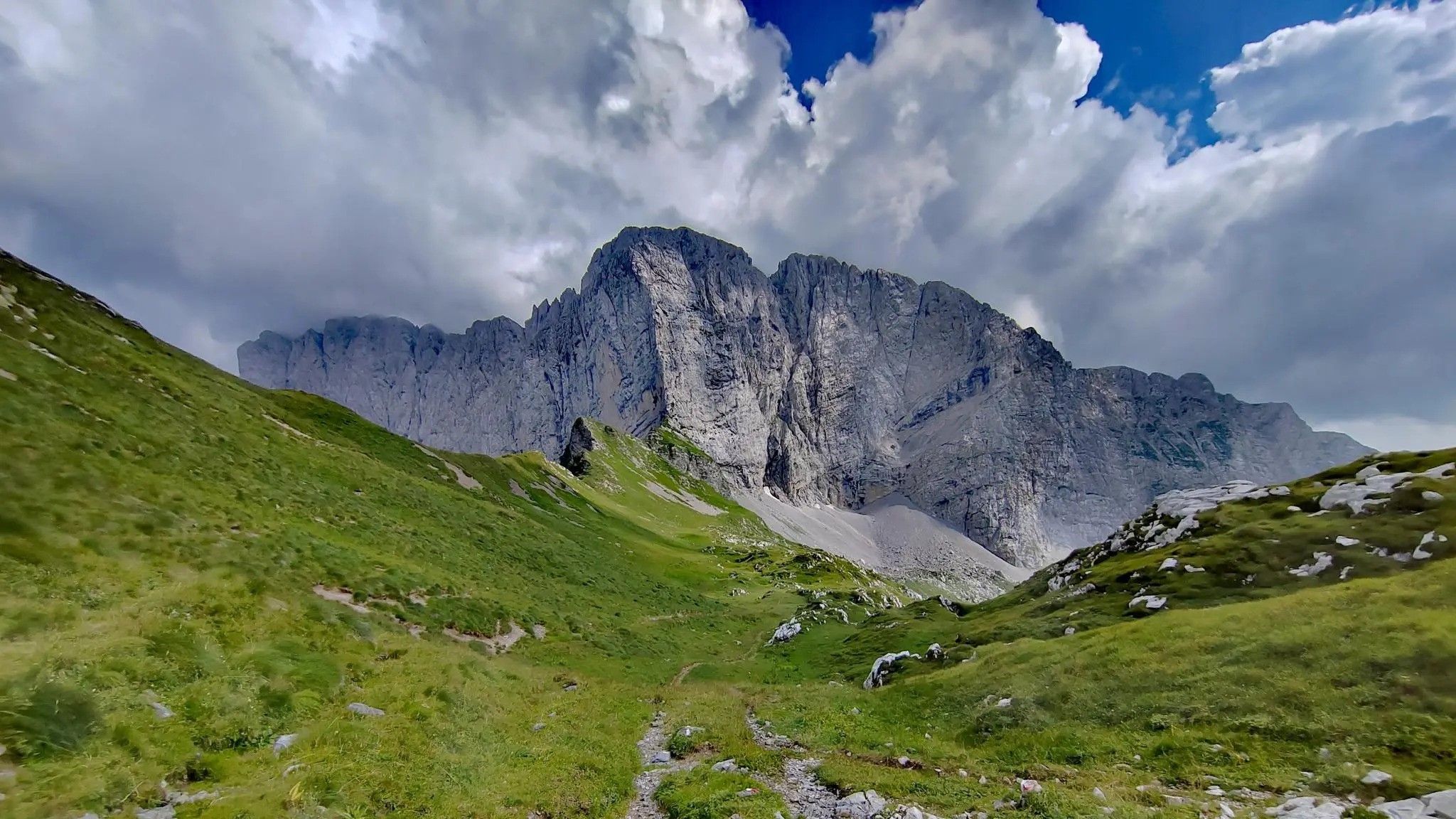
Trekking in val di Scalve – among the Piccoli Dolomiti Bergamasche
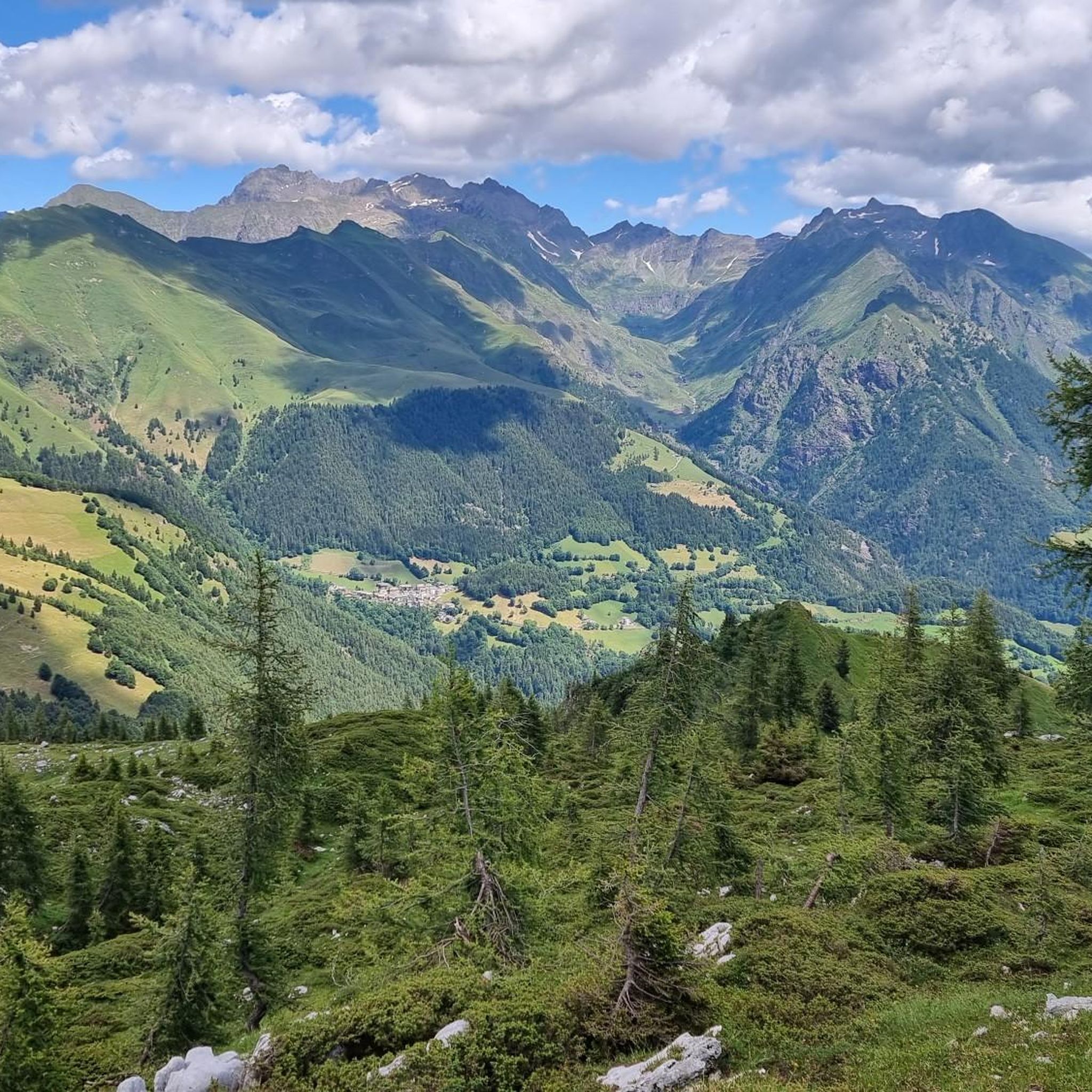
Hiking around Vilminore Di Scalve
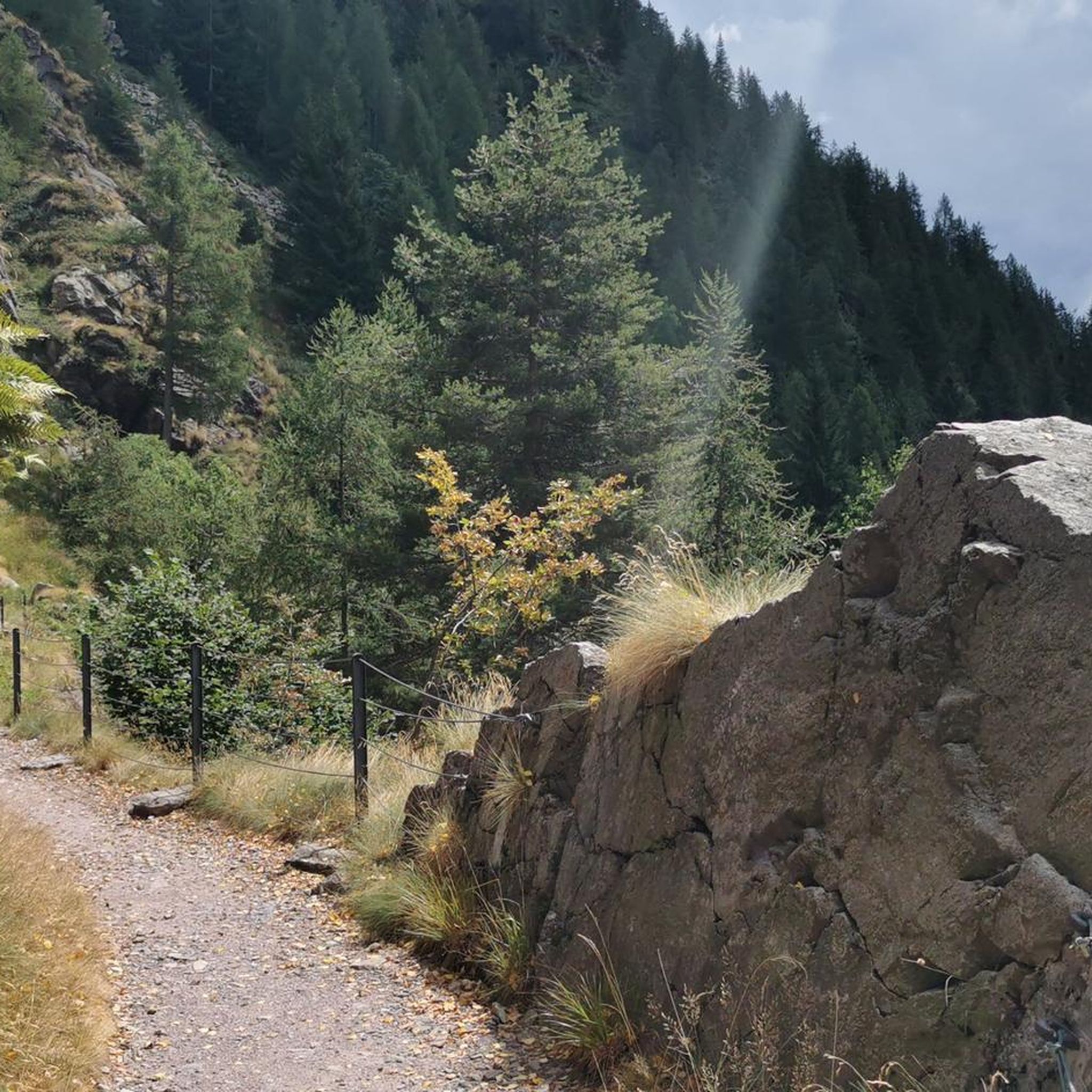
Cycling around Vilminore Di Scalve
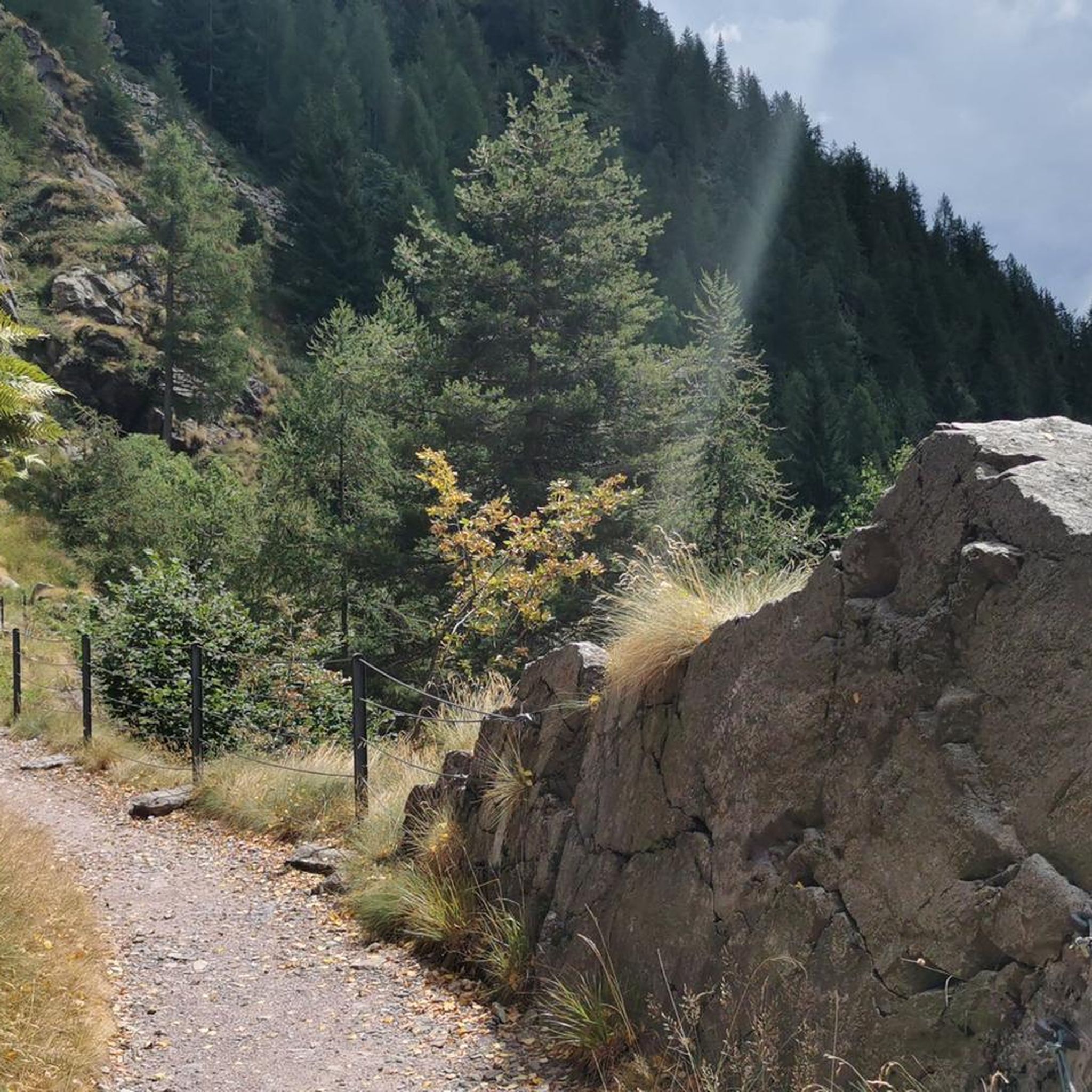
MTB Trails around Vilminore Di Scalve
Running Trails around Vilminore Di Scalve

Mountain Hikes around Vilminore Di Scalve

Gravel biking around Vilminore Di Scalve

Tips from the Community

The climb to Valcanale begins in Ponte Seghe and, although it's not particularly long (7 km), it has sections with double-digit gradients that make it challenging. If, once you reach the village, you want to reach the lake, be prepared for two very pleasant climbs before reaching the Babes district. Once you arrive, however, you'll be rewarded with a kiosk where you can enjoy some excellent food!
0
0
The climb to Valcanale begins at Ponte Seghe. It's not long (about 7 km), but there are some steep sections that shouldn't be underestimated, especially if you've already ridden a few kilometers. However, if your destination is the lake, be prepared for two short but very pleasant climbs after the village before arriving at the Babes parking lot.
0
0

A very pleasant climb from Val di Scalve to Borno. Beautiful and not particularly challenging. 😊
2
0

Remember to use the scratch and park ticket if you want to park nearby.
1
0

Beautiful refuge immersed in nature. Impossible not to stop after the hard climb pedaled😉
1
0

Leckeres Essen. Auch für eine Übernachtung geeignet wenn das Gemeinschaftsbad nicht stört.
1
0

fantastic place, beautiful valley from which excursions on foot and also by mountain bike (not easy) start.
0
0

Water to fill up your water bottle🚰
0
0
Frequently Asked Questions
How many road cycling routes are available around Vilminore Di Scalve?
There are 21 road cycling routes around Vilminore Di Scalve, offering a variety of experiences for cyclists. These routes are primarily moderate to difficult, reflecting the mountainous terrain of the region.
What is the typical difficulty level for road cycling in Vilminore Di Scalve?
Road cycling in Vilminore Di Scalve is characterized by challenging mountain passes and significant elevation changes. There are 9 moderate routes and 12 difficult routes, with no easy options, making it suitable for experienced cyclists seeking demanding climbs and descents.
Are there any loop routes for road cycling in the area?
Yes, several excellent loop routes are available. For a challenging experience, consider the Presolana Pass – Vivione Pass loop from Rusio, which covers 47.1 miles (75.8 km) and connects two major passes. Another popular option is the Schilpario – Croce di Salven Pass loop from Schilpario, a 42.4-mile (68.2 km) trail through alpine valleys.
What kind of elevation gains can I expect on these routes?
The routes around Vilminore Di Scalve feature substantial elevation gains due to the mountainous landscape. For example, the Presolana Pass – Vivione Pass loop from Rusio involves over 2,200 meters of ascent, while the Schilpario – Croce di Salven Pass loop from Schilpario has over 1,500 meters of climbing.
What are some scenic attractions I can see along the road cycling routes?
The region offers stunning natural beauty. You can encounter impressive waterfalls like Serio Falls and Vò Waterfall. The Giant's Kettles of Valzurio are also a unique natural monument worth seeing. Many routes offer panoramic views of the surrounding peaks and valleys.
Is Vilminore Di Scalve suitable for beginner road cyclists or families?
Given the mountainous terrain and the absence of easy routes, Vilminore Di Scalve is generally not recommended for beginner road cyclists or families with young children. The routes primarily feature significant climbs and descents, requiring a good level of fitness and experience.
What is the best time of year for road cycling in Vilminore Di Scalve?
The best time for road cycling in Vilminore Di Scalve is typically from late spring to early autumn (May to October). During these months, the alpine passes are generally clear of snow, and the weather conditions are more favorable for cycling, offering pleasant temperatures and clear skies.
Are there any cafes or refreshment stops along the routes?
While specific cafes are not listed for each route, the villages and towns along the routes, such as Schilpario, Rusio, and Castione della Presolana, offer opportunities for refreshment stops. It's advisable to carry sufficient water and snacks, especially on longer routes through more remote sections.
What do other road cyclists say about the routes in Vilminore Di Scalve?
The road cycling routes in Vilminore Di Scalve are highly regarded by the komoot community, with an average rating of 4.6 stars from over 30 reviews. Cyclists frequently praise the challenging climbs, the breathtaking alpine scenery, and the well-maintained roads that lead to iconic mountain passes.
Where can I find parking for road cycling routes in Vilminore Di Scalve?
Parking is generally available in the main villages and towns where many routes start, such as Schilpario, Rusio, and Castione della Presolana. Look for designated public parking areas within these communities. It's always a good idea to arrive early, especially during peak season, to secure a spot.
Are there any less-known or 'hidden gem' road cycling routes?
While the region is known for its major passes, exploring routes that connect smaller villages or venture into less-traveled valleys can offer a 'hidden gem' experience. For instance, the Castione della Presolana – Clusone loop from Rusio provides a moderate challenge with diverse scenery, potentially offering a quieter ride away from the most popular climbs.
Can I rent a road bike in Vilminore Di Scalve?
While Vilminore Di Scalve itself is a smaller mountain village, bike rental services, including road bikes, are more commonly found in larger towns in the surrounding Val Seriana or Val Camonica valleys. It is recommended to check with sports shops or tourism offices in larger nearby centers for rental options before your visit.
Most popular routes around Vilminore Di Scalve
Most popular attractions around Vilminore Di Scalve

Get inspired with the komoot mobile app


Explore more
Browse the best Road cycling routes in other regions.
