The 19 Most Amazing Peaks around Saviore Dell'Adamello
Best mountain peaks around Saviore Dell'Adamello are found in the Lombardy region of Italy, offering access to the Adamello-Presanella Alps and the Brenta Dolomites. This area is characterized by its diverse geology, ranging from granite massifs to calcareous-sedimentary rocks. The mountains provide a variety of experiences, including challenging climbs and extensive panoramic views.
Best mountain peaks around Saviore Dell'Adamello
- The most popular mountain peaks is Cima Presena, a summit that is accessible with a relatively short walk from the ski lift. This location offers a suggestive environment where nature reigns exclusively, providing views of the Presena glacier.
- Another must-see spot is Giuseppe Garibaldi Mountain Hut at Lake Venerocolo, a hut located on the banks of an artificial basin, Lake Venerocolo. Visitors can expect this hut to serve as a starting point for climbing the Adamello, which rises behind the water.
- Visitors also love Malga Stain Hut, a hut situated on a natural terrace with a wonderful view of the valley and surrounding mountains. It is an essential stopover when hiking in the Adamello, known for its good food and friendly staff.
- Saviore Dell'Adamello is known for its glacial landscapes and dramatic rock formations. The region offers a variety of mountain peaks to see and explore, from high-altitude views to challenging mountaineering routes.
- The mountain peaks around Saviore Dell'Adamello are appreciated by the komoot community, with 58 upvotes and 29 photos shared by visitors.
Last updated: June 24, 2026
Malga Stain Hut
Highlight • Mountain Hut
Translated by Google •
Tip by

View of Pizzo Badile
Highlight • Viewpoint
Here is a clear and updated summary to help you orient yourself.
🏔️ Pizzo Badile Camuno Profile
- Altitude: 2,435 m a.s.l.
- Location: between Ceto and Cimbergo, in the Adamello group.
- Mountain character: isolated peak, "shovel" shape (hence the name), often called the "Cervino of Camonica".
- Geology: very white limestone upper part, resting on the dark Fasa band, with a granite base of the Adamello massif.
🧗♂️ The Pizzo Badile Camuno via ferrata
One of the best-known and most frequented routes in the area, classified C/D, therefore challenging.
- Total elevation gain: ~1,385 m
- Total duration: approximately 6h30’ (approach + via ferrata + return).
- Difficulty: moderate technical skill required, but physically very demanding.
- Exposure: constant, with equipped sections on smooth slabs and Grade I passages in the woods.
- Mandatory equipment: helmet, harness, via ferrata set (the rock is crumbly and prone to rockfall).
🚶♂️ Ascent Itinerary (from Cimbergo – Volano)
Starting point: dirt road above Cimbergo, near Rifugio De Marie (1420 m).
1) Approach
- CAI Trail 77, steep and with equipped sections already in the woods.
- Passages on smooth slabs with chains and some rocky jumps.
- Exit from the woods with a view of the Volano basin and the middle Val Camonica.
2) Mario Donati Bivouac
- Small wooden structure nestled in the rock, a perfect spot for a break.
- From here, the most exposed section towards the base of the wall begins.
3) Final via ferrata
- Long and continuous steel cable.
- Exposed passages on grassy rocks and oblique traverses.
- Arrival at the fissure that divides the Pizzo in two: from here the summit is close.
🌄 View from the summit
One of the widest in Val Camonica:
- Adamello and Pian di Neve
- Concarena
- Presolana
- Lake Iseo
- Up to the more distant Disgrazia and Bernina on clear days
📜 Historical Notes
- First documented explorations: 1855, Prof. Regazzoni.
- First official ascent: May 25, 1884, Ballardini and Beatrici.
Showing Translation
Tip by

Sign up now to discover places like this
Get recommendations on the best single tracks, peaks, & plenty of other exciting outdoor places.
Sign up for free
Passo Presena
Highlight • Mountain Pass
Here your eyes are enchanted by the amphitheater of gray peaks colored only by the white of the snow without any hint of vegetation.
The pass can be reached either by cable car or on foot, in summer, following the SAT 209 trail sign.
Translated by Google •
Tip by

Giuseppe Garibaldi Mountain Hut at Lake Venerocolo
Highlight • Mountain Hut
Translated by Google •
Tip by

Valerio Festa Bivouac at Galinera Pass
Highlight • Mountain Hut
Translated by Google •
Tip by
Sign up for free to discover even more peaks around Saviore Dell'Adamello.
Sign up for free
Already have an account?
Start today with a free account
Your next adventure awaits.
Login or Signup
Popular around Saviore Dell'Adamello

L1 from Garmisch to Brescia – Far from the classic Alpine crossings
Along Path no. 1 – Alta Via dell'Adamello

Peaks, rock carvings and mountain huts – hike Italy’s Val Camonica
Hiking around Saviore Dell'Adamello
MTB Trails around Saviore Dell'Adamello
Road Cycling Routes around Saviore Dell'Adamello
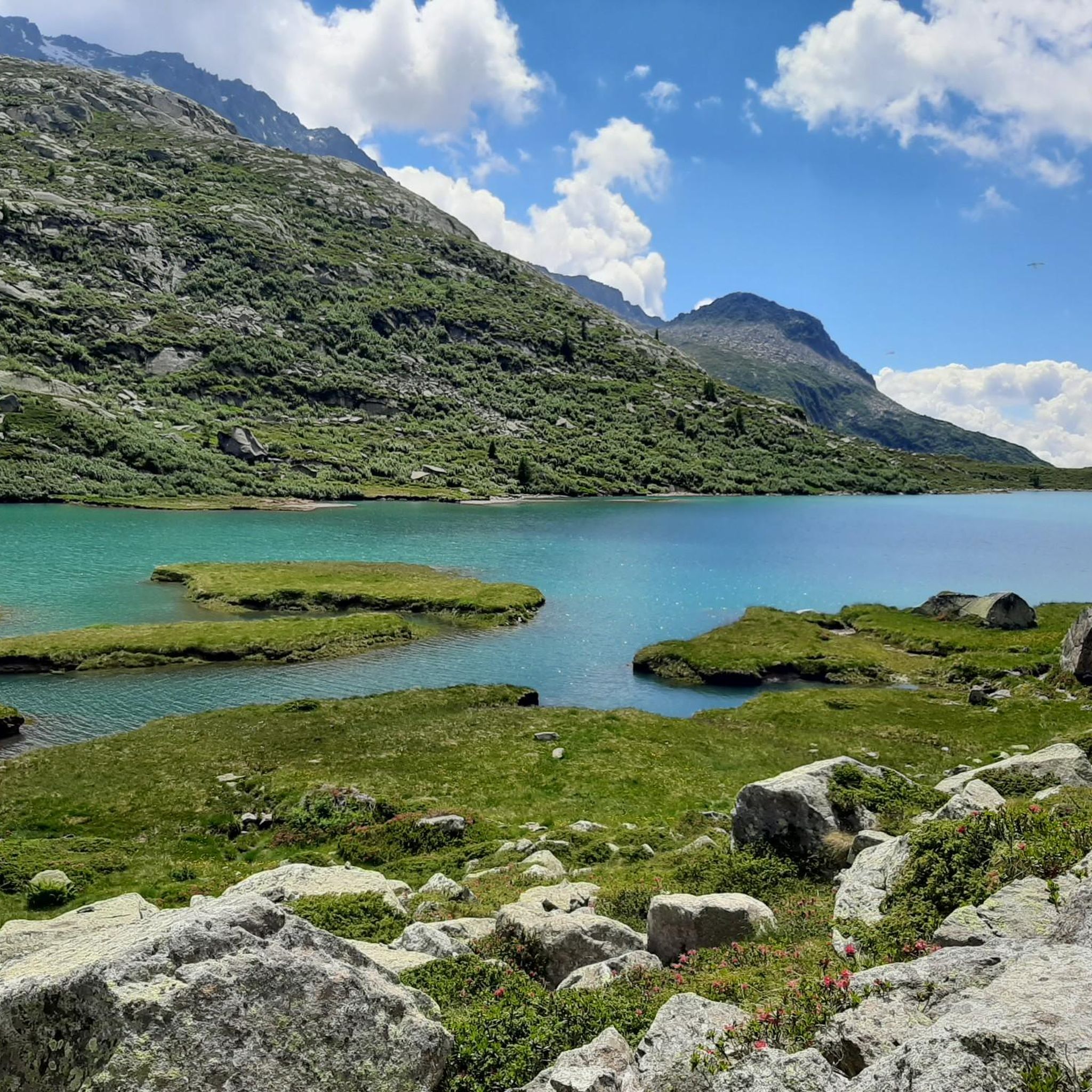
Running Trails around Saviore Dell'Adamello
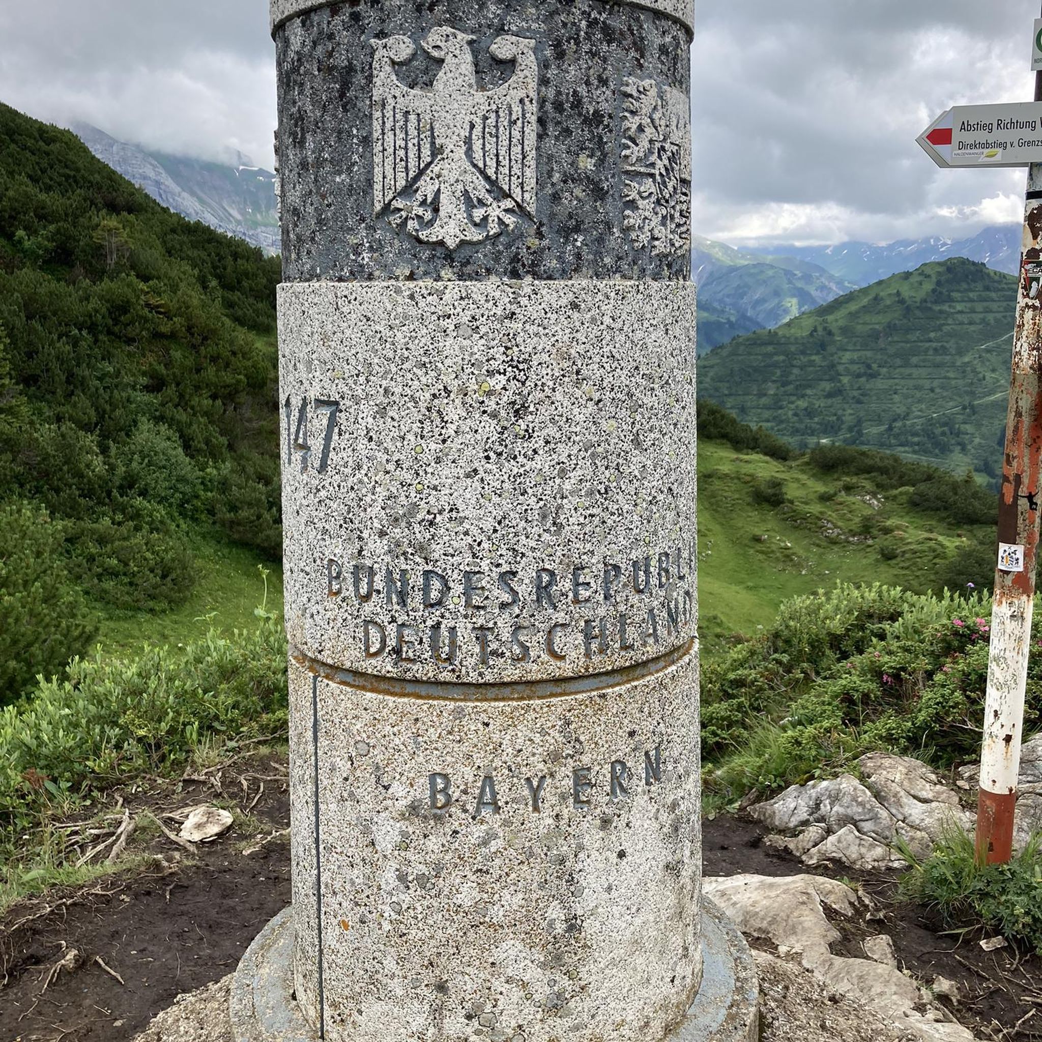
Mountain Hikes around Saviore Dell'Adamello

Gravel biking around Saviore Dell'Adamello
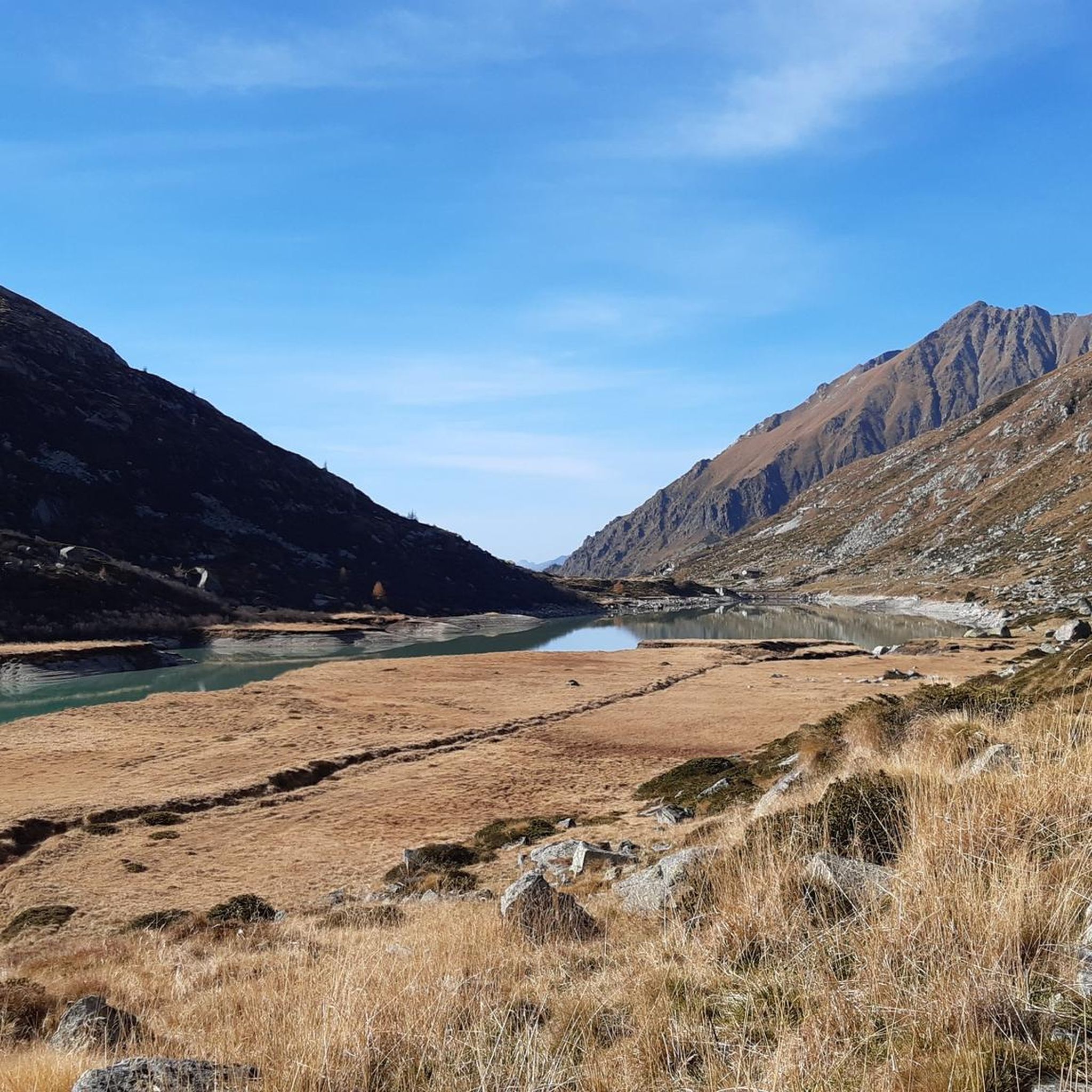
Cycling around Saviore Dell'Adamello
Other adventures around Saviore Dell'Adamello


Tips from the Community

beautiful bivouac, equipped. 11 beds. challenging ascent and descent. DO NOT DO THE AVIOLO LAKE LOOP!! VERY DANGEROUS. A GIRL DIED IN 2024
0
0

The Pizzo Badile Camuno is one of the most iconic peaks in the middle Val Camonica: a limestone mountain with an unmistakable shape, a summit at 2,435 m, spectacular views, and a challenging but very rewarding via ferrata. Here is a clear and updated summary to help you orient yourself. 🏔️ Pizzo Badile Camuno Profile - Altitude: 2,435 m a.s.l. - Location: between Ceto and Cimbergo, in the Adamello group. - Mountain character: isolated peak, "shovel" shape (hence the name), often called the "Cervino of Camonica". - Geology: very white limestone upper part, resting on the dark Fasa band, with a granite base of the Adamello massif. 🧗♂️ The Pizzo Badile Camuno via ferrata One of the best-known and most frequented routes in the area, classified C/D, therefore challenging. - Total elevation gain: ~1,385 m - Total duration: approximately 6h30’ (approach + via ferrata + return). - Difficulty: moderate technical skill required, but physically very demanding. - Exposure: constant, with equipped sections on smooth slabs and Grade I passages in the woods. - Mandatory equipment: helmet, harness, via ferrata set (the rock is crumbly and prone to rockfall). 🚶♂️ Ascent Itinerary (from Cimbergo – Volano) Starting point: dirt road above Cimbergo, near Rifugio De Marie (1420 m). 1) Approach - CAI Trail 77, steep and with equipped sections already in the woods. - Passages on smooth slabs with chains and some rocky jumps. - Exit from the woods with a view of the Volano basin and the middle Val Camonica. 2) Mario Donati Bivouac - Small wooden structure nestled in the rock, a perfect spot for a break. - From here, the most exposed section towards the base of the wall begins. 3) Final via ferrata - Long and continuous steel cable. - Exposed passages on grassy rocks and oblique traverses. - Arrival at the fissure that divides the Pizzo in two: from here the summit is close. 🌄 View from the summit One of the widest in Val Camonica: - Adamello and Pian di Neve - Concarena - Presolana - Lake Iseo - Up to the more distant Disgrazia and Bernina on clear days 📜 Historical Notes - First documented explorations: 1855, Prof. Regazzoni. - First official ascent: May 25, 1884, Ballardini and Beatrici.
0
0

An essential stopover when hiking in the Adamello! Exceptional location What a view! Very good food Very friendly staff (owner and helpers) Very clean place
1
0

Galinera Pass
0
0

Refuge in a strategic position both as a starting point for excursions and as a transit point.
0
0

The Presena pass reaches 3,000 meters above sea level and is located in the heart of the Presanella group. Here your eyes are enchanted by the amphitheater of gray peaks colored only by the white of the snow without any hint of vegetation. The pass can be reached either by cable car or on foot, in summer, following the SAT 209 trail sign.
6
0

At the Presena pass, you find an altitude of 3,000 meters. From this elevated position, you can enjoy a breathtaking 360-degree panorama, with spectacular views of various glaciers, with the Presena Glacier in the foreground. You can reach this altitude using the cable car that leaves from the Tonale pass. The place is truly spectacular.
2
0

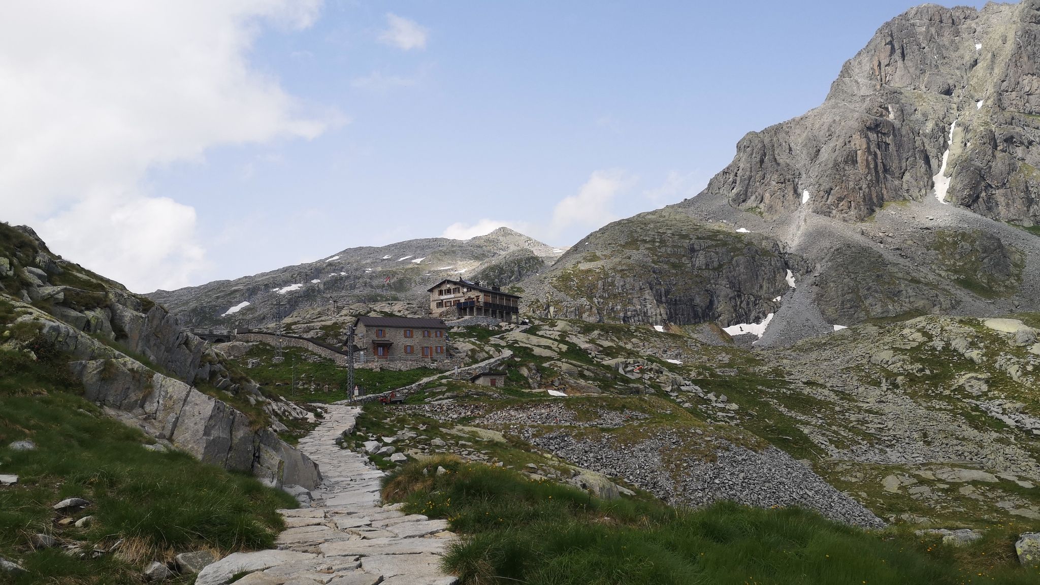
The Malga Stain refuge is run by kind and competent people. You eat very well and you can stay in small stone and wood houses. The natural terrace on which the refuge stands is beautiful and from here there is a wonderful view of the valley and the surrounding mountains.
3
0
Frequently Asked Questions
What are some of the most popular mountain peaks to visit around Saviore Dell'Adamello?
Among the most appreciated peaks, Cima Presena is highly popular, accessible with a relatively short walk from the ski lift and offering stunning views of the Presena glacier. Another significant peak is Monte Adamello, the second-highest in the Adamello-Presanella Alps, known for its challenging climbs and wild environment. While not directly in Saviore Dell'Adamello, Cima Tosa is the highest mountain in the nearby Brenta Dolomites, offering unparalleled views for experienced climbers.
Are there any mountain huts or refuges that offer accommodation or food near these peaks?
Yes, several huts provide essential services. The Malga Stain Hut is situated on a natural terrace with wonderful views, known for its good food and friendly staff, making it an essential stopover when hiking in the Adamello. Another option is the Giuseppe Garibaldi Mountain Hut at Lake Venerocolo, which serves as a starting point for climbing Adamello and offers a small winter room for colder months.
What kind of natural features can I expect to see when exploring the mountains around Saviore Dell'Adamello?
The region is characterized by diverse and spectacular natural features. You'll encounter the rugged glacial landscapes of the Adamello-Presanella group, including the largest glacier entirely within Italian territory on Monte Adamello. The nearby Brenta Dolomites, part of the Adamello Brenta Nature Park, showcase dramatic rock formations and calcareous-sedimentary rocks, contrasting with the granite massifs of Adamello. High-altitude areas like Passo Presena offer an amphitheater of grey peaks and snow, with no vegetation at nearly 3,000 meters above sea level.
What outdoor activities can I do near the mountain peaks of Saviore Dell'Adamello?
Beyond peak bagging, the area offers a variety of outdoor activities. You can explore numerous mountain hikes, including routes like the 'Lago Miller – Malga del Miller loop' or the 'Adamè Steps – Città di Lissone Hut loop'. For more details on hiking, check out the Mountain Hikes around Saviore Dell'Adamello guide. Cycling is also popular, with options ranging from challenging routes like the 'Viride Bike Rental Station – Edolo loop' to more moderate ones. Discover more cycling routes in the Cycling around Saviore Dell'Adamello guide and Road Cycling Routes around Saviore Dell'Adamello guide.
Are there any accessible peaks or viewpoints for those seeking high-altitude views without extreme climbing?
Yes, Passo Presena is a great option. It reaches nearly 3,000 meters above sea level and is easily accessible by cable car from the Tonale pass. During summer, you can also reach it on foot via the SAT 209 trail. From this pass, you can enjoy breathtaking 360-degree panoramas, including spectacular views of various glaciers, with the Presena Glacier in the foreground.
What is the highest peak in the Brenta Dolomites, which borders the Saviore Dell'Adamello area?
The highest mountain in the Brenta Dolomites is Cima Tosa, standing at 3,173 meters. It's an imposing rock massif with steep sides and a distinctive snow cupola, offering significant challenges for climbers and unparalleled views of the dramatic Dolomitic landscape.
What makes the Adamello Brenta Nature Park significant, and how does it relate to Saviore Dell'Adamello?
The Adamello Brenta Nature Park is the largest protected area in Trentino and encompasses both the Adamello and Brenta mountain ranges, bordering the Saviore Dell'Adamello area. Its significance lies in its diverse geology, featuring the calcareous-sedimentary rocks of the Brenta Dolomites and the granite massifs of the Adamello-Presanella group, which has earned it recognition as a UNESCO Global Geopark. You can find more information about the park at visitvaldisole.it or visittrentino.info.
Are there any peaks in the southern Brenta Dolomites that offer extensive views?
Yes, Vallon Peak (Cima Vallon), rising to 2,968 meters, is the highest peak in the southern sector of the Brenta Group. It's an imposing massif that dominates the Val d'Algone, providing a prominent and commanding presence with extensive views for those exploring this part of the Dolomites.
What do visitors enjoy most about the mountain peaks around Saviore Dell'Adamello?
Visitors frequently praise the spectacular and wild environment, the breathtaking panoramic views, and the sense of being immersed in nature. Many appreciate the challenging climbs offered by peaks like Monte Adamello, while others enjoy the accessibility of high-altitude viewpoints like Passo Presena. The friendly staff and good food at huts like Malga Stain Hut also receive high marks.
Is there a relatively accessible ridge climb in the Brenta Dolomites that offers panoramic views?
Yes, Cima XII Apostoli, reaching 2,699 meters, is an excellent choice. It rises behind its namesake refuge and offers a short and relatively easy, yet very satisfying, ridge climb to its panoramic summit. It's ideal for hikers looking for a beautiful and accessible way to experience the Brenta Dolomites.
What kind of mountaineering skills are required for climbing peaks like Monte Adamello?
Climbing Monte Adamello, especially routes involving sections like the Terzulli, requires good training and mountaineering skills due to its technical parts, high altitude, and challenging high-mountain environment. It's considered a significant climb best suited for those with experience.
Most popular routes around Saviore Dell'Adamello
Most popular attractions around Saviore Dell'Adamello

Get inspired with the komoot mobile app


Explore more
See even more amazing summits around Saviore Dell'Adamello with these guides:
