The best road cycling routes around Saviore Dell'Adamello
4.5
(139)
6,497
riders
45
rides
Road cycling routes around Saviore Dell'Adamello traverse the Lombardy region, offering diverse terrain within the Adamello Park. The area features rugged mountains, lush forests, alpine meadows, and pristine lakes, providing varied landscapes for cyclists. Notable features include the Adamello Glacier, the Salarno and Adamé valleys, and numerous mountain passes. The region's topography ranges from valley floors to challenging ascents, catering to different road cycling preferences.
Best road cycling routes around Saviore Dell'Adamello
- The most popular road cycling route is Town…
Last updated: September 25, 2026
3.9
(7)
170
riders
64.3km
02:55
600m
600m
Moderate road ride. Good fitness required. Some segments of this route may be unpaved and difficult to ride.
5.0
(2)
66
riders
47.6km
03:09
1,480m
1,480m
Hard road ride. Very good fitness required. Mostly well-paved surfaces and easy to ride.

61
riders
40.4km
01:54
450m
450m
Moderate road ride. Good fitness required. Mostly well-paved surfaces and easy to ride.
5.0
(2)
112
riders
42.2km
02:00
490m
490m
Moderate road ride. Good fitness required. Mostly well-paved surfaces and easy to ride.
89
riders
67.5km
04:13
1,820m
1,820m
Hard road ride. Very good fitness required. Mostly well-paved surfaces and easy to ride.
Get access to more routes and recommendations from other explorers.
Already have an account?
Our route recommendations are based on thousands of hikes, rides, and runs completed by other people on komoot.
Start today with a free account
Your next adventure awaits.
Popular around Saviore Dell'Adamello

L1 from Garmisch to Brescia – Far from the classic Alpine crossings
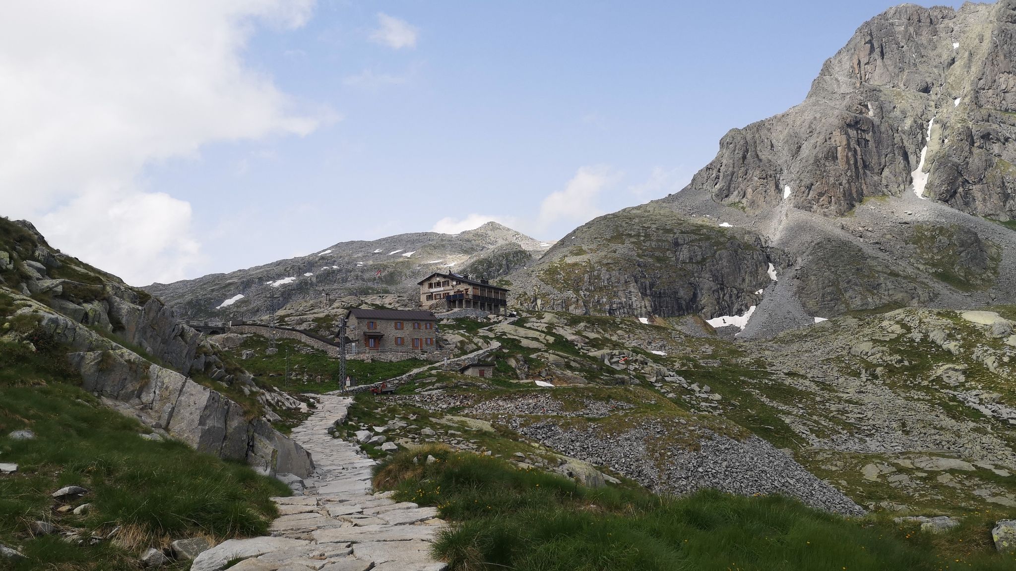
Along Path no. 1 – Alta Via dell'Adamello

Peaks, rock carvings and mountain huts – hike Italy’s Val Camonica
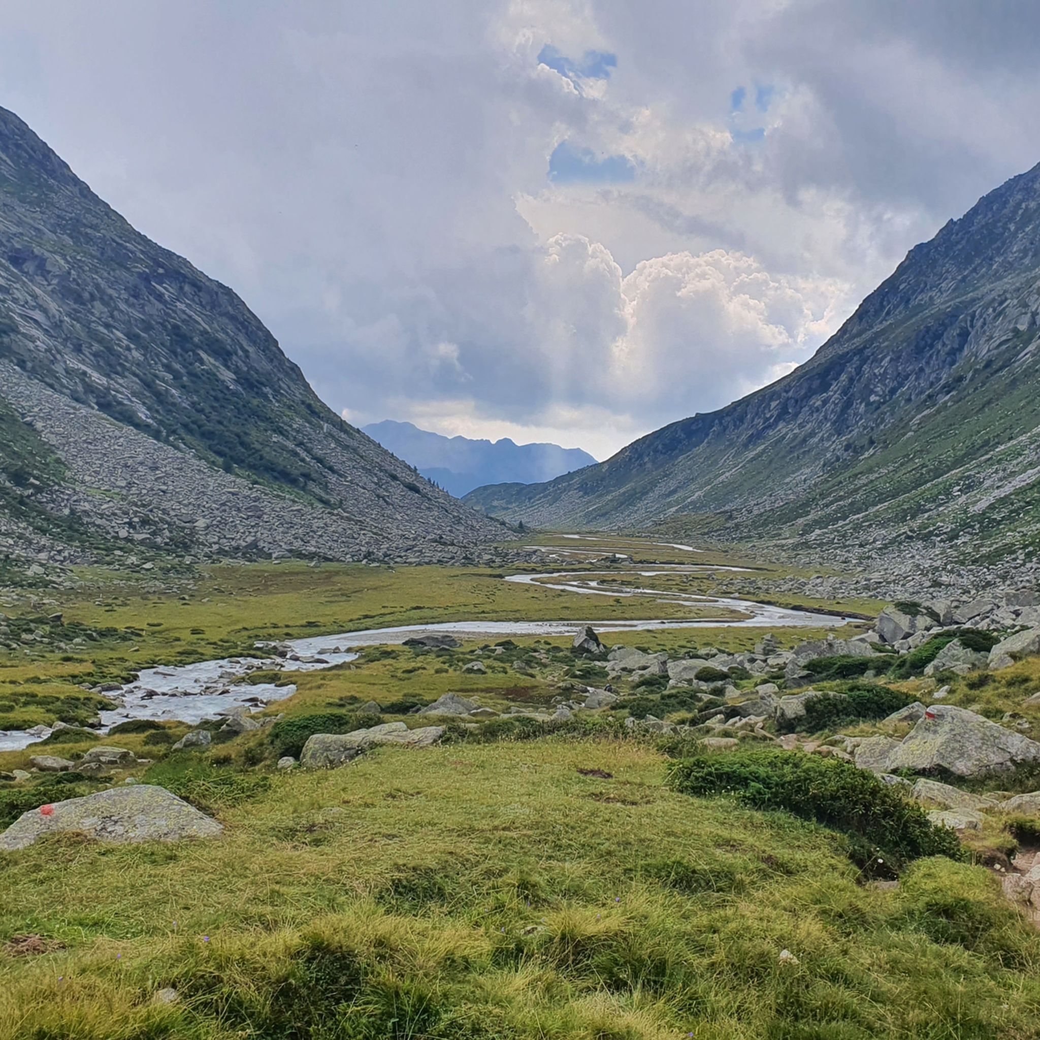
Hiking around Saviore Dell'Adamello
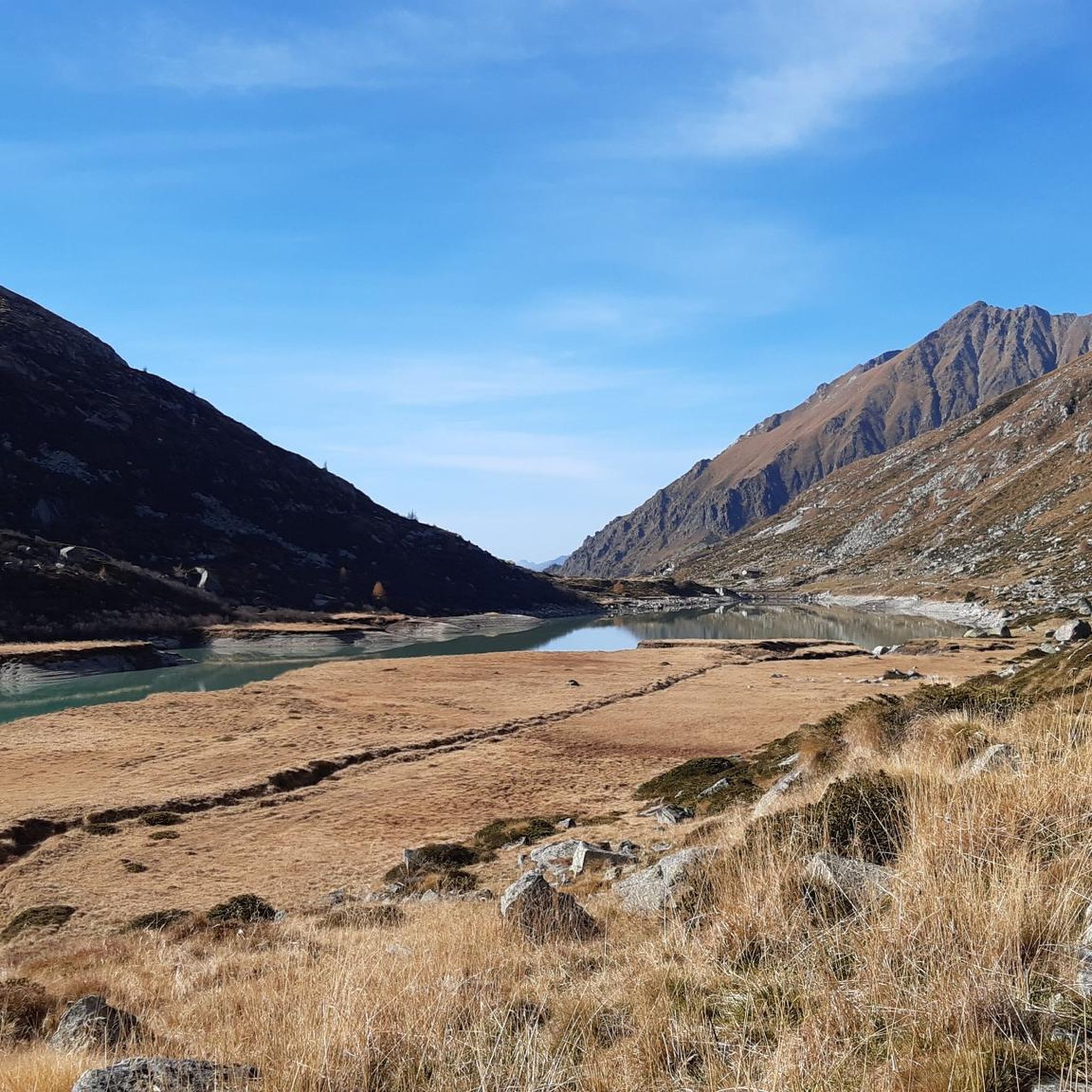
MTB Trails around Saviore Dell'Adamello
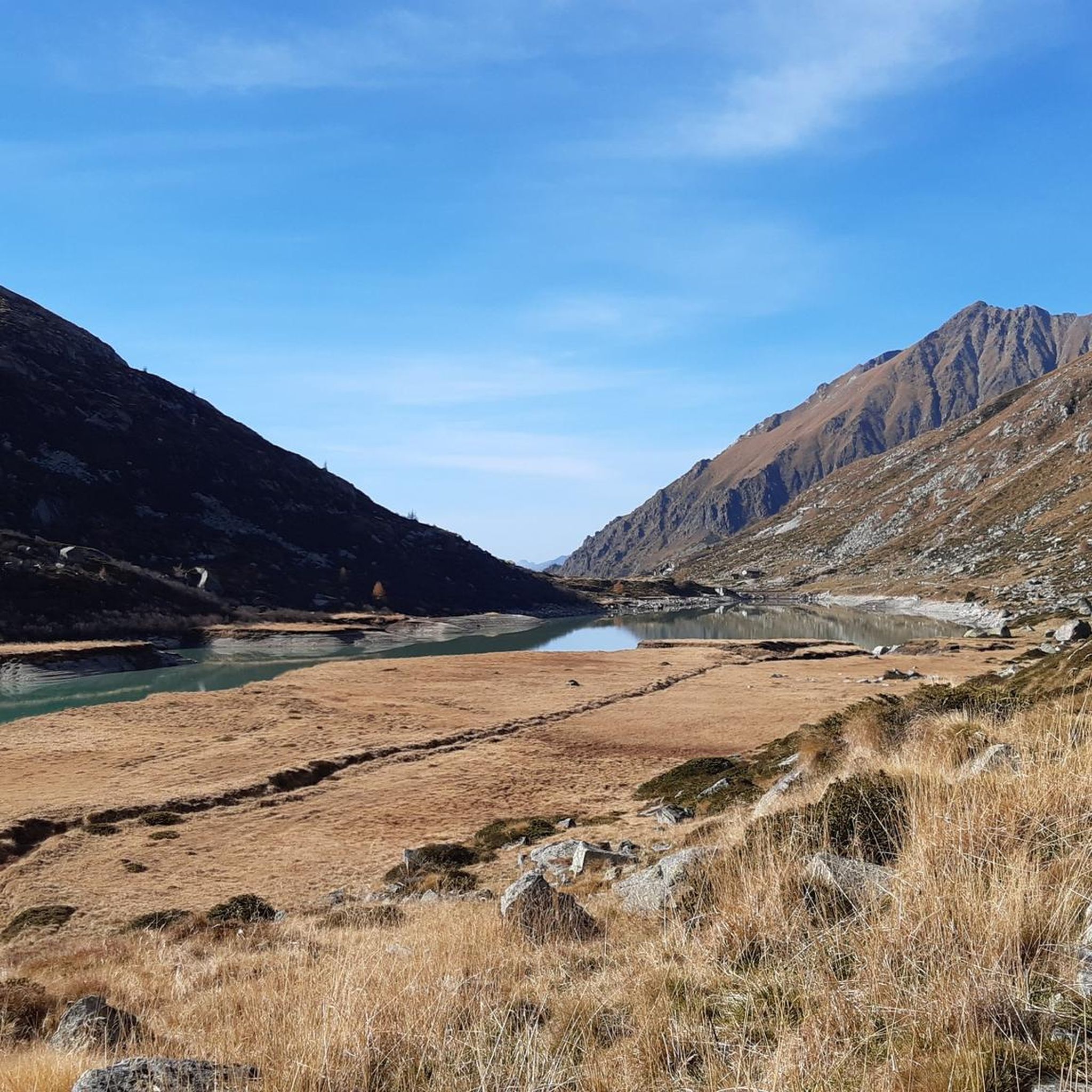
Cycling around Saviore Dell'Adamello
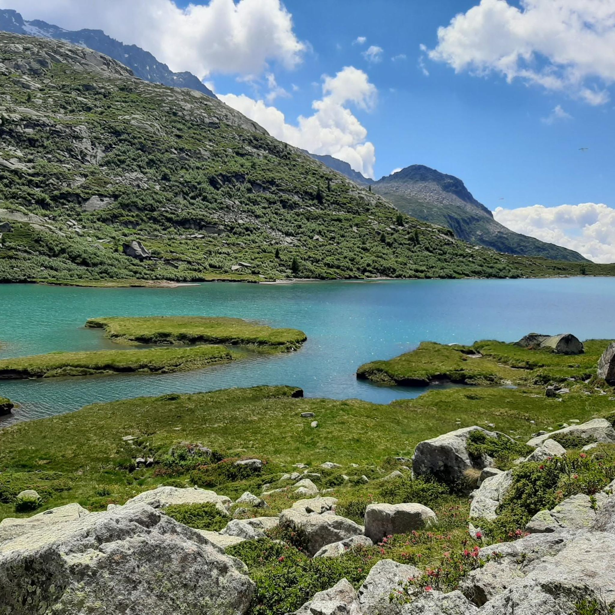
Running Trails around Saviore Dell'Adamello
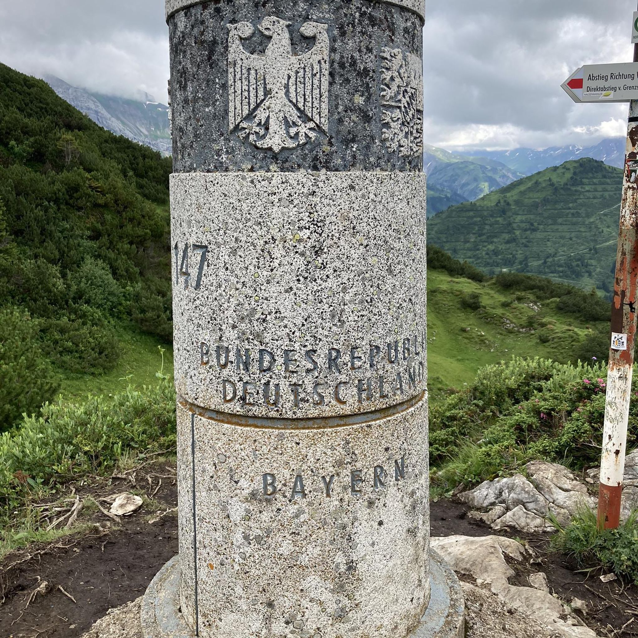
Mountain Hikes around Saviore Dell'Adamello

Gravel biking around Saviore Dell'Adamello
Other adventures around Saviore Dell'Adamello


Tips from the Community

By train to Edolo and then by bike up to Ponte di legno. The next day, departure in four stages to Mantua. Beautiful cycle path. Recommended
0
0

A village in the upper Camonica Valley at the confluence of the Oglio and Ogliolo rivers. Tonale and Val di Sole to the east, Aprica and Valtellina to the west, and Mortirolo to the north.
0
0

Cycling in the woods, waterfalls, streams and wooden animals… very suggestive
0
0

The climb to Passo del Vivione from Val Camonica, starting at Forno d'Allione, is long and challenging. It is about 20 kilometers long with almost 1400 meters of elevation gain. The road, which connects Val Camonica to Val di Scalve, winds through a wild environment and is often narrow and is a less busy climb than other Alpine passes.
1
0

historic bridge of Edolo, from which you take the cycle/pedestrian path to Ponte di Legno/Tonale
0
0

Beautiful refuge immersed in nature. Impossible not to stop after the hard climb pedaled😉
1
0

Leckeres Essen. Auch für eine Übernachtung geeignet wenn das Gemeinschaftsbad nicht stört.
1
0

Long climb immersed in the Brescian valleys frequented by cyclists and motorcyclists.
0
0
Frequently Asked Questions
How many road cycling routes are available in Saviore Dell'Adamello?
Saviore Dell'Adamello offers a wide selection of road cycling routes, with over 45 tours available. These routes cater to various skill levels, including easy, moderate, and difficult options.
What kind of terrain can I expect on road cycling routes in Saviore Dell'Adamello?
The terrain in Saviore Dell'Adamello is diverse, ranging from valley floors to challenging mountain passes. You'll encounter rugged mountains, lush forests, alpine meadows, and pristine lakes. Routes often feature significant elevation gains, especially those leading to passes like the Gavia Pass, providing both scenic beauty and physical challenge.
Are there any easy road cycling routes suitable for beginners or families?
Yes, there are easy road cycling routes available. For instance, the Mural on Roadside Building – Town Street loop from Sellero is an easy 31.4 km route with a moderate elevation gain, perfect for a more relaxed ride. The region offers 7 easy routes in total.
What are some notable natural features or landmarks I can see along the road cycling routes?
Road cycling routes in Saviore Dell'Adamello pass through the stunning Adamello Park, offering views of the Adamello Glacier and beautiful alpine lakes like Lake Aviolo. You can also encounter dramatic mountain passes such as Passo Paradiso, which provides magnificent views of the Presena glacier reliefs. The region is also known for its valleys, including the spectacular Adamè Valley.
What is the best time of year for road cycling in Saviore Dell'Adamello?
The best time for road cycling in Saviore Dell'Adamello is typically from late spring through early autumn (May to October). During these months, the weather is generally more favorable, and mountain passes are usually clear of snow, offering access to the full range of routes and breathtaking alpine scenery.
Are there any challenging road cycling routes for experienced cyclists?
Absolutely. Saviore Dell'Adamello is renowned for its challenging routes. The Gavia Pass – Ponte di Legno loop from Cedegolo is a difficult 107.1 km path featuring significant elevation gain through alpine landscapes, including the iconic Gavia Pass. Another challenging option is the Ponte Alto di Edolo – Climb to Lago dei Caprioli loop from Cedegolo, a 66.1 km trail with substantial climbing.
What do other road cyclists say about the routes in Saviore Dell'Adamello?
The road cycling routes in Saviore Dell'Adamello are highly rated by the komoot community, with an average score of 4.7 stars from over 100 reviews. Cyclists often praise the varied terrain, from scenic valley rides to challenging mountain ascents, and the stunning alpine landscapes of the Adamello Park.
Are there any circular road cycling routes available?
Yes, many of the road cycling routes in Saviore Dell'Adamello are designed as loops, allowing you to start and end in the same location. Examples include the popular Town Street – By bike along the Oglio loop from Cedegolo and the challenging Gavia Pass – Ponte di Legno loop from Cedegolo.
Are there places to stop for refreshments or food along the routes?
While specific cafes or pubs are not listed for every route, the region has numerous huts and refuges, such as the Città di Lissone refuge, which can serve as stopover points. Many villages along the routes will also offer opportunities for refreshments.
Is public transport available to access road cycling routes in Saviore Dell'Adamello?
Saviore Dell'Adamello is located in a mountainous region. While local bus services connect some villages, direct public transport access to specific trailheads might be limited. It's advisable to check local transport schedules and options if you plan to rely on public transport to reach your starting point.
Are there specific parking areas for cyclists in Saviore Dell'Adamello?
While dedicated cyclist parking areas are not explicitly detailed, most towns and villages in the region, such as Cedegolo and Sellero, offer general parking facilities where you can typically park your vehicle before starting your ride. It's always a good idea to check local signage for parking regulations.
What kind of elevation gain can I expect on road cycling routes in Saviore Dell'Adamello?
Elevation gains vary significantly depending on the route's difficulty. Easy routes might have a few hundred meters of ascent, while difficult routes, especially those crossing mountain passes, can feature over 2,000 meters of elevation gain. For example, the Gavia Pass – Ponte di Legno loop includes over 2,300 meters of climbing.
Most popular routes around Saviore Dell'Adamello
Most popular attractions around Saviore Dell'Adamello

Get inspired with the komoot mobile app


Explore more
Browse the best Road cycling routes in other regions.
