The best gravel rides around Saviore Dell'Adamello
4.3
(44)
447
riders
19
rides
Gravel biking around Saviore Dell'Adamello offers a diverse landscape for riders. The region is characterized by river valleys, such as the Valle Camonica, alongside alpine terrain with significant elevation changes. Riders can expect a mix of historical sites, like Roman bridges, and natural features, including views of mountains and lakes. The trails often follow established cycle paths and traverse through areas with varied topography.
Best gravel bike trails around Saviore Dell'Adamello
- The most popular gravel bike trail is Montecchio Roman…
Last updated: September 24, 2026
4.7
(15)
153
riders
Hard gravel ride. Very good fitness required. Mostly paved surfaces. Suitable for all skill levels.
5.0
(5)
35
riders
30.8km
02:51
1,250m
1,260m
Hard gravel ride. Very good fitness required. Mostly paved surfaces. Suitable for all skill levels.

4.5
(2)
37
riders
100km
07:30
2,500m
2,500m
Hard gravel ride. Very good fitness required. You may need to push your bike for some segments of this route.
3.0
(1)
24
riders
73.2km
05:04
1,300m
1,300m
Hard gravel ride. Very good fitness required. Mostly paved surfaces. Suitable for all skill levels.
4.3
(12)
49
riders
87.0km
05:45
1,140m
1,140m
Hard gravel ride. Very good fitness required. Mostly paved surfaces. Suitable for all skill levels.
Get access to more routes and recommendations from other explorers.
Already have an account?
Our route recommendations are based on thousands of hikes, rides, and runs completed by other people on komoot.
Start today with a free account
Your next adventure awaits.
Popular around Saviore Dell'Adamello

L1 from Garmisch to Brescia – Far from the classic Alpine crossings
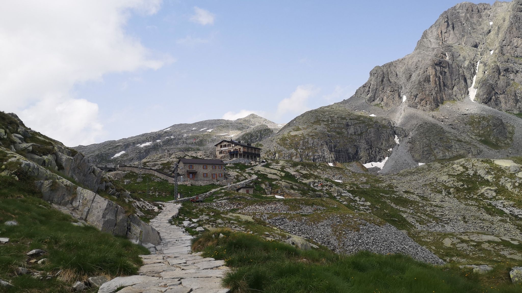
Along Path no. 1 – Alta Via dell'Adamello

Peaks, rock carvings and mountain huts – hike Italy’s Val Camonica
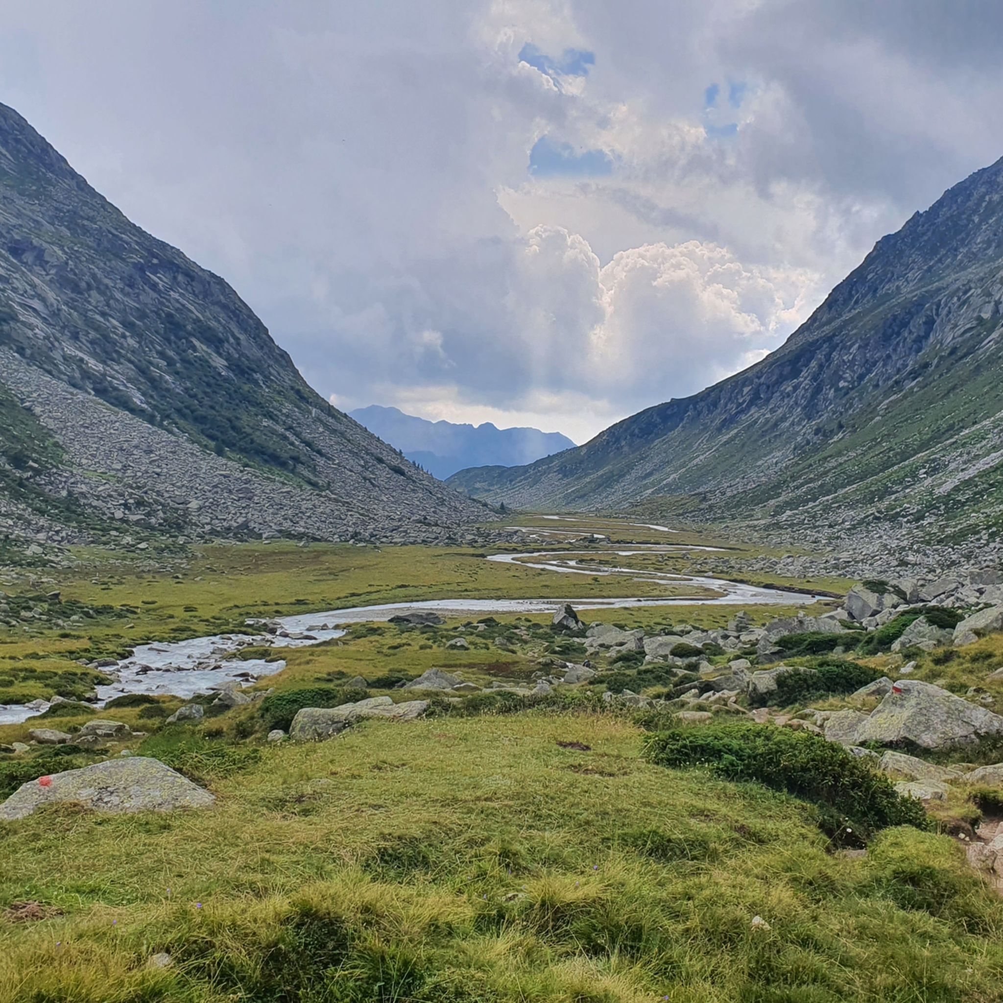
Hiking around Saviore Dell'Adamello
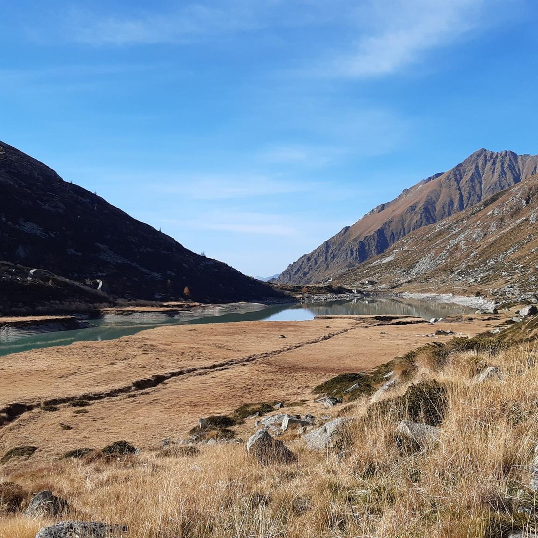
MTB Trails around Saviore Dell'Adamello
Road Cycling Routes around Saviore Dell'Adamello
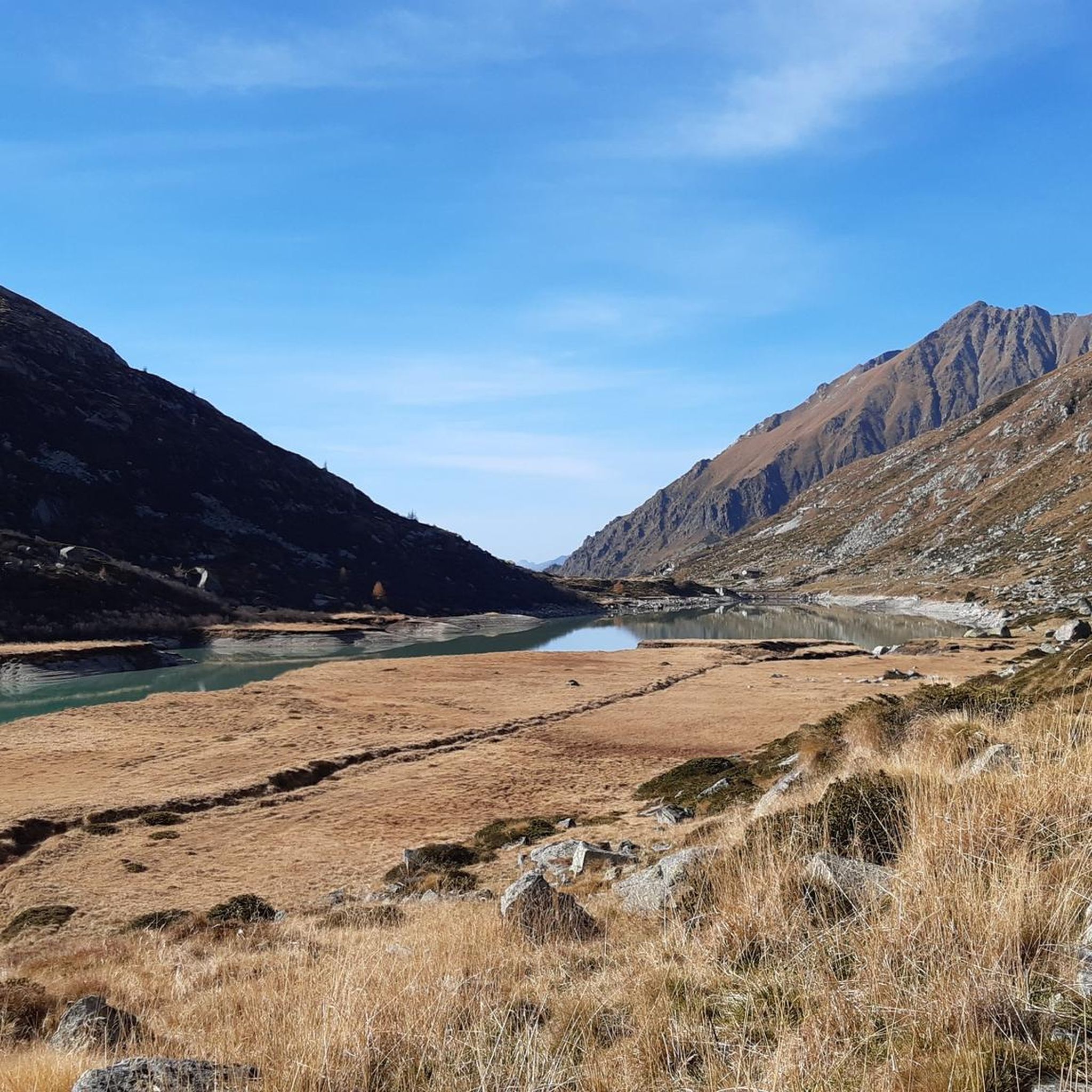
Cycling around Saviore Dell'Adamello
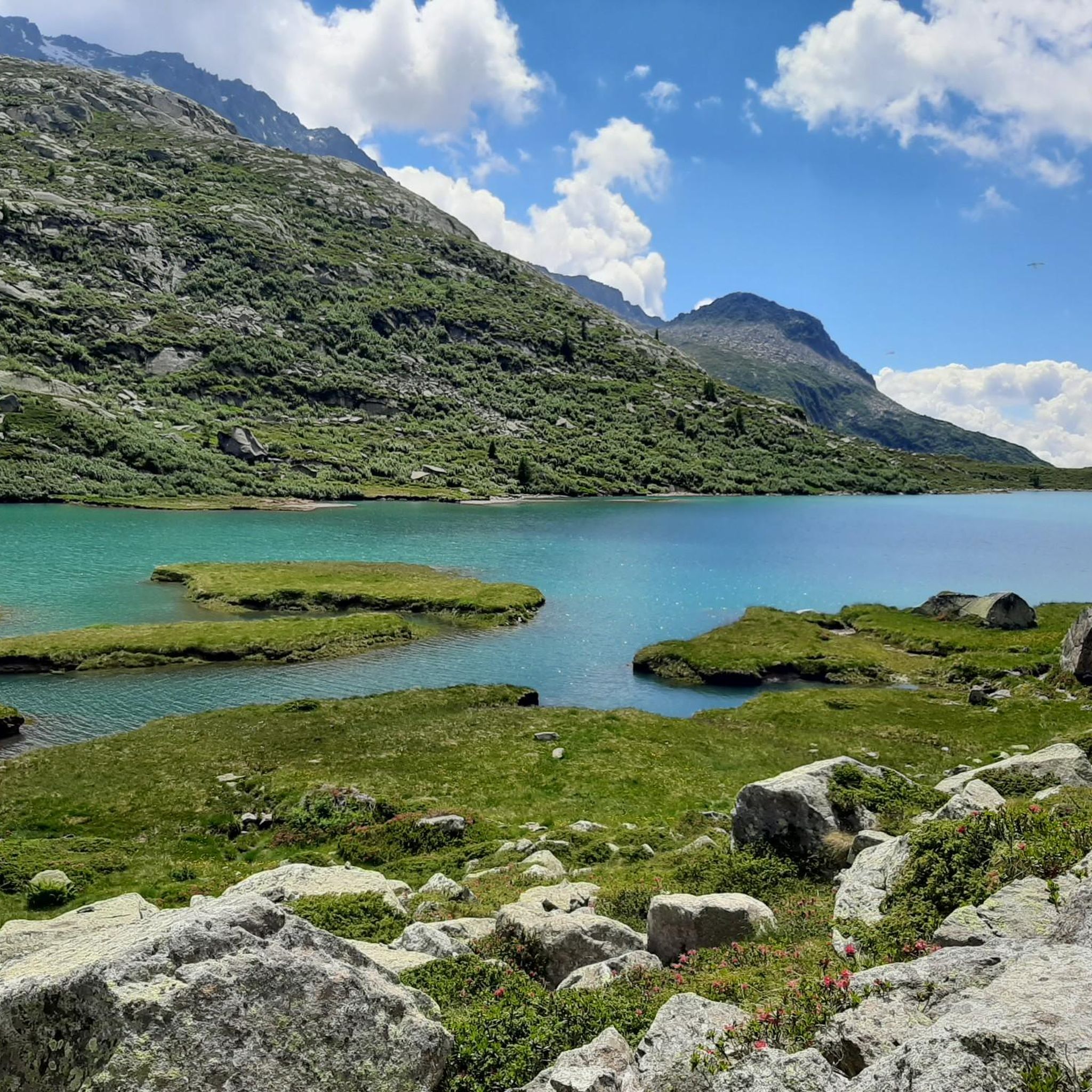
Running Trails around Saviore Dell'Adamello
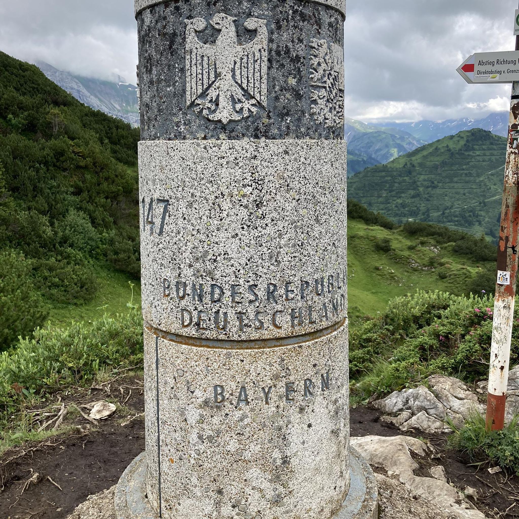
Mountain Hikes around Saviore Dell'Adamello
Other adventures around Saviore Dell'Adamello


Tips from the Community


The Ciclovia dell'Oglio is an excellent cycle touring route of 282 kilometers that entirely follows the course of the Oglio river, connecting the mountains of Lombardy to the Po Valley. Considered the "most beautiful cycle path in Italy" (title received at the Italian Green Road Award 2019), it has a total negative elevation difference of almost 1,862 meters, starting from 1,883 meters at the Passo del Tonale to reach 21 meters of the Po at San Matteo delle Chiaviche. The route is 80% asphalt and 20% compact dirt road and is ideal for gravel, trekking, or e-bikes.
0
0

By train to Edolo and then by bike up to Ponte di legno. The next day, departure in four stages to Mantua. Beautiful cycle path. Recommended
0
0

Nice, historic, relaxing...a beautiful ride along the Oglio cycle path.
0
0

Stone bridge with nice views around. The river was brown due to heavy rain some hours earlier.
1
0
To reach Montecchio di Darfo, starting from Boario, you cross the so-called "Roman bridge." It is a scenic 24-meter, single-span bridge, built from blocks of granite and Simona stone in 1686, over the remains of an older bridge that connected the medieval castle on Monticolo to the opposite bank of the river. It has been recognized as a national monument.
0
0

There's strength in calmness; the climb is tough. Remember to look over your shoulder every now and then; the view is magnificent.
0
0

Perfect for driving. Beautiful panorama.
2
1
Frequently Asked Questions
What is the general difficulty level of gravel biking trails in Saviore Dell'Adamello?
The gravel biking trails around Saviore Dell'Adamello are predominantly challenging. Out of 13 available routes, 12 are rated as difficult, featuring significant elevation changes and alpine terrain. There is one moderate route, but no easy routes are currently listed.
Are there any family-friendly gravel bike routes in Saviore Dell'Adamello?
Given the challenging nature of most routes in Saviore Dell'Adamello, with 12 out of 13 trails rated as difficult, truly family-friendly options suitable for young children or beginners are limited. The region is characterized by alpine ascents and significant climbs, making it more suitable for experienced riders.
What kind of distances can I expect on gravel bike trails in this region?
Gravel bike trails in Saviore Dell'Adamello vary significantly in length. You can find routes ranging from shorter, intense climbs like the Case di Viso Alpine Village – Angelo Bozzi Hut loop from Ponte di Legno at 19.2 miles (30.8 km), to much longer expeditions such as the Montecchio Roman Bridge – Oglio Cycle Path loop from Capo di Ponte which covers 50.6 miles (81.4 km).
What is the best time of year for gravel biking in Saviore Dell'Adamello?
The best time for gravel biking in Saviore Dell'Adamello is typically from late spring through early autumn (May to October). During these months, the weather is generally more stable, and alpine passes are clear of snow, allowing access to the full range of trails. Winter riding can be very challenging due to snow and ice, especially at higher elevations.
Are there any circular gravel bike routes available?
Yes, many of the gravel bike routes in Saviore Dell'Adamello are designed as loops, allowing you to start and finish at the same point. Examples include the Valle Camonica Cycle Path – Ciclovia dell'Oglio loop from Malga Caldea and the View of Losine – Mulini di Sellero loop from Malonno.
What kind of natural attractions can I see along the gravel bike trails?
The region offers stunning natural beauty. You can encounter beautiful alpine lakes such as Lake Aviolo and Lake Avio, as well as impressive mountain passes like Passo di Campo and Lagoscuro Pass. The Malga Bissina Dam is another notable man-made monument set within a natural landscape.
Are there any specific viewpoints or scenic spots on the gravel routes?
Many routes offer spectacular views, particularly those that ascend into the alpine environment. For instance, the View of the Mountains and Lake – B&B Il Pettinrus loop from Malonno is specifically highlighted for its scenic vistas of the mountains and a lake. Generally, any route gaining significant elevation will provide panoramic views of the Valle Camonica and surrounding peaks.
Where can I find parking for gravel biking in Saviore Dell'Adamello?
Parking is generally available in the villages and towns that serve as starting points for the routes, such as Capo di Ponte, Ponte di Legno, Malga Caldea, and Malonno. Look for designated parking areas within these communities, often near trailheads or public facilities.
What do other gravel bikers enjoy most about the trails in Saviore Dell'Adamello?
The gravel biking routes in Saviore Dell'Adamello are highly rated by the komoot community, with an average score of 4.7 stars from over 20 reviews. Riders often praise the diverse landscape, which combines historical sites like Roman bridges with stunning alpine scenery, and the challenging yet rewarding climbs.
Are there opportunities for wild swimming near the gravel trails?
While specific wild swimming spots are not explicitly listed along the gravel trails, the presence of several alpine lakes, such as Lake Aviolo and Lake Avio, suggests potential opportunities for a refreshing dip, especially during warmer months. Always check local regulations and safety conditions before entering any natural waters.
Can I find cafes or refreshment stops along the gravel bike routes?
Many routes pass through or near villages where you can find cafes, restaurants, or small shops for refreshments. Additionally, some alpine routes might lead to mountain huts (rifugi) like the Città di Lissone Hut or Colombé Hut, which offer food and drink, particularly during the high season. It's always advisable to carry sufficient water and snacks, especially on longer or more remote sections.
Most popular routes around Saviore Dell'Adamello
Most popular attractions around Saviore Dell'Adamello

Get inspired with the komoot mobile app


Explore more
Browse the best Gravel rides in other regions.
