The best mountain hikes around Saviore Dell'Adamello
4.1
(24)
318
hikers
14
hikes
Mountaineering routes around Saviore Dell'Adamello are set within the Adamello Regional Park, an area defined by its rugged natural environment, majestic peaks, and extensive glaciers. The region features granite pyramids, vast expanses of perennial ice, and numerous high-altitude lakes shaped by millennia of glacial movement. This diverse terrain offers a range of challenging ascents and glacier crossings for mountaineers.
Best mountaineering routes around Saviore Dell'Adamello
- The most popular mountaineering route is Lago Miller – Malga del Miller loop from Malga…
Last updated: September 24, 2026
5.0
(7)
64
hikers
Hard mountaineering route. Good fitness required. Sure-footedness, sturdy shoes and alpine experience required.
3.0
(1)
22
hikers
7.66km
03:17
570m
570m
Moderate mountaineering route. Good fitness required. Mostly accessible paths. Sure-footedness required.

4.0
(3)
23
hikers
7.40km
05:14
1,030m
1,030m
Hard mountaineering route. Very good fitness required. Sure-footedness, sturdy shoes and alpine experience required.
4.0
(2)
22
hikers
Hard mountaineering route. Good fitness required. Sure-footedness, sturdy shoes and alpine experience required.
5.0
(1)
16
hikers
9.48km
06:19
1,160m
1,160m
Hard mountaineering route. Very good fitness required. Sure-footedness, sturdy shoes and alpine experience required.
Get access to more routes and recommendations from other explorers.
Already have an account?
Our route recommendations are based on thousands of hikes, rides, and runs completed by other people on komoot.
Start today with a free account
Your next adventure awaits.
Popular around Saviore Dell'Adamello

L1 from Garmisch to Brescia – Far from the classic Alpine crossings
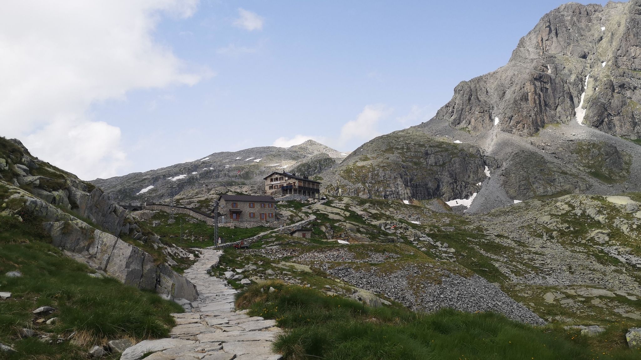
Along Path no. 1 – Alta Via dell'Adamello

Peaks, rock carvings and mountain huts – hike Italy’s Val Camonica
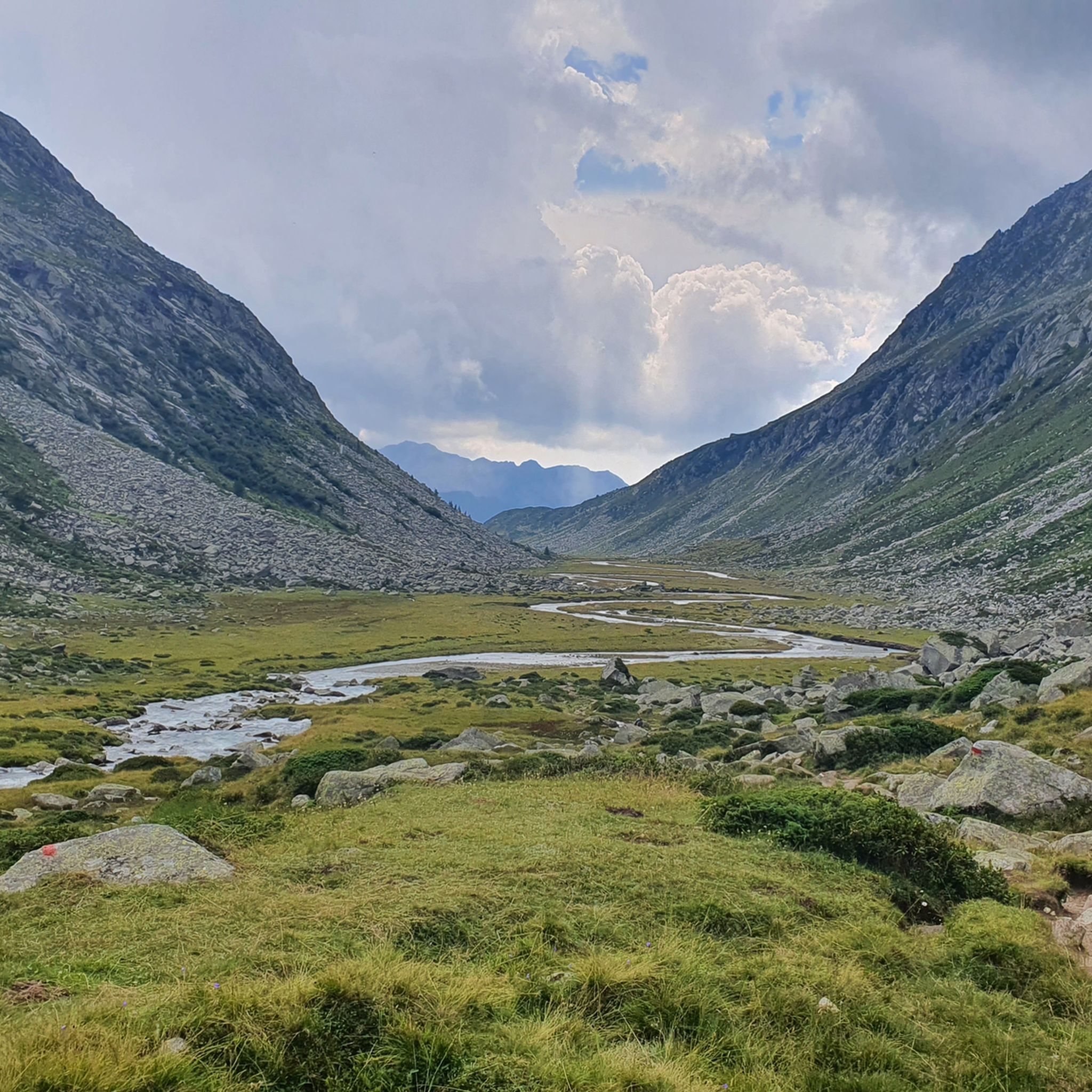
Hiking around Saviore Dell'Adamello
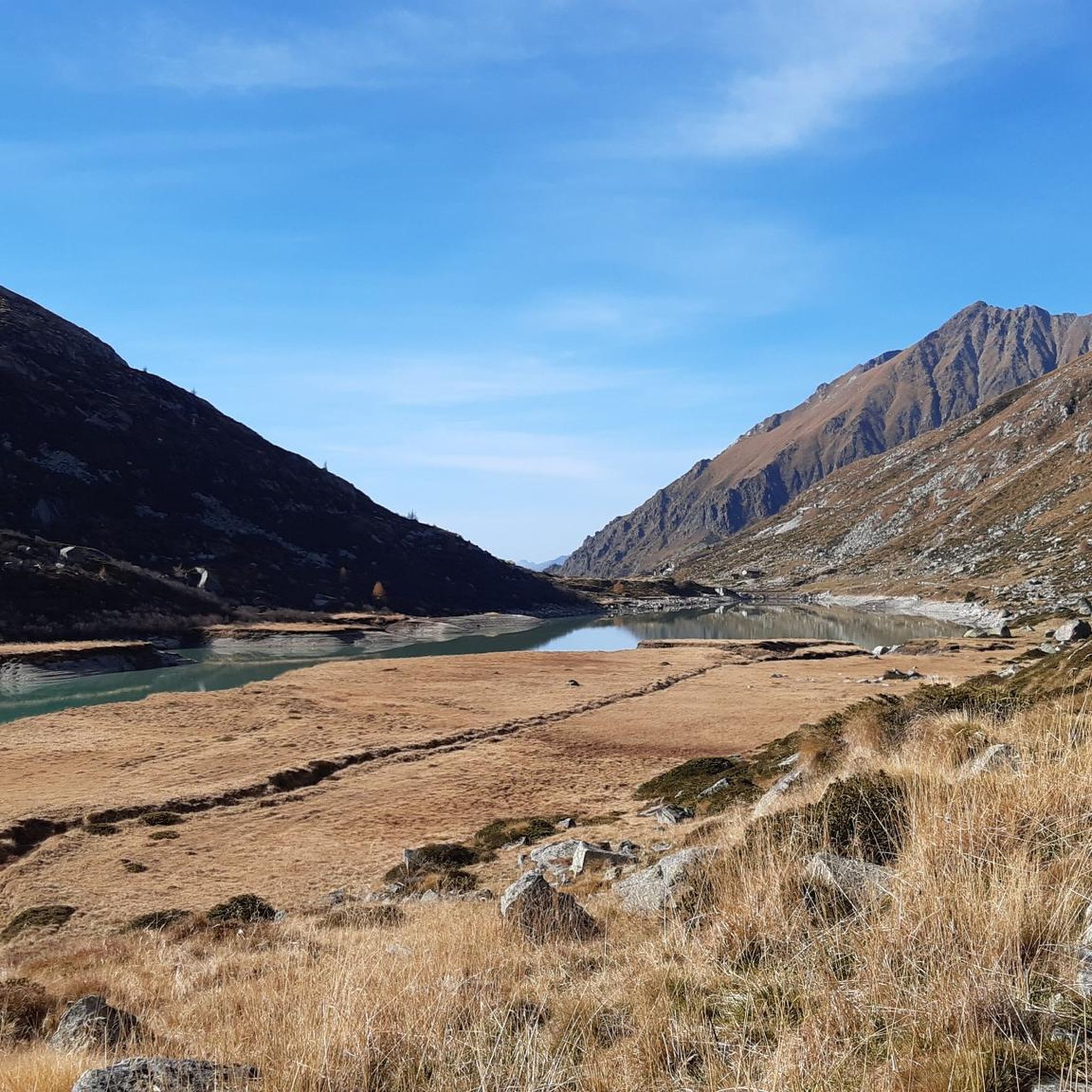
MTB Trails around Saviore Dell'Adamello
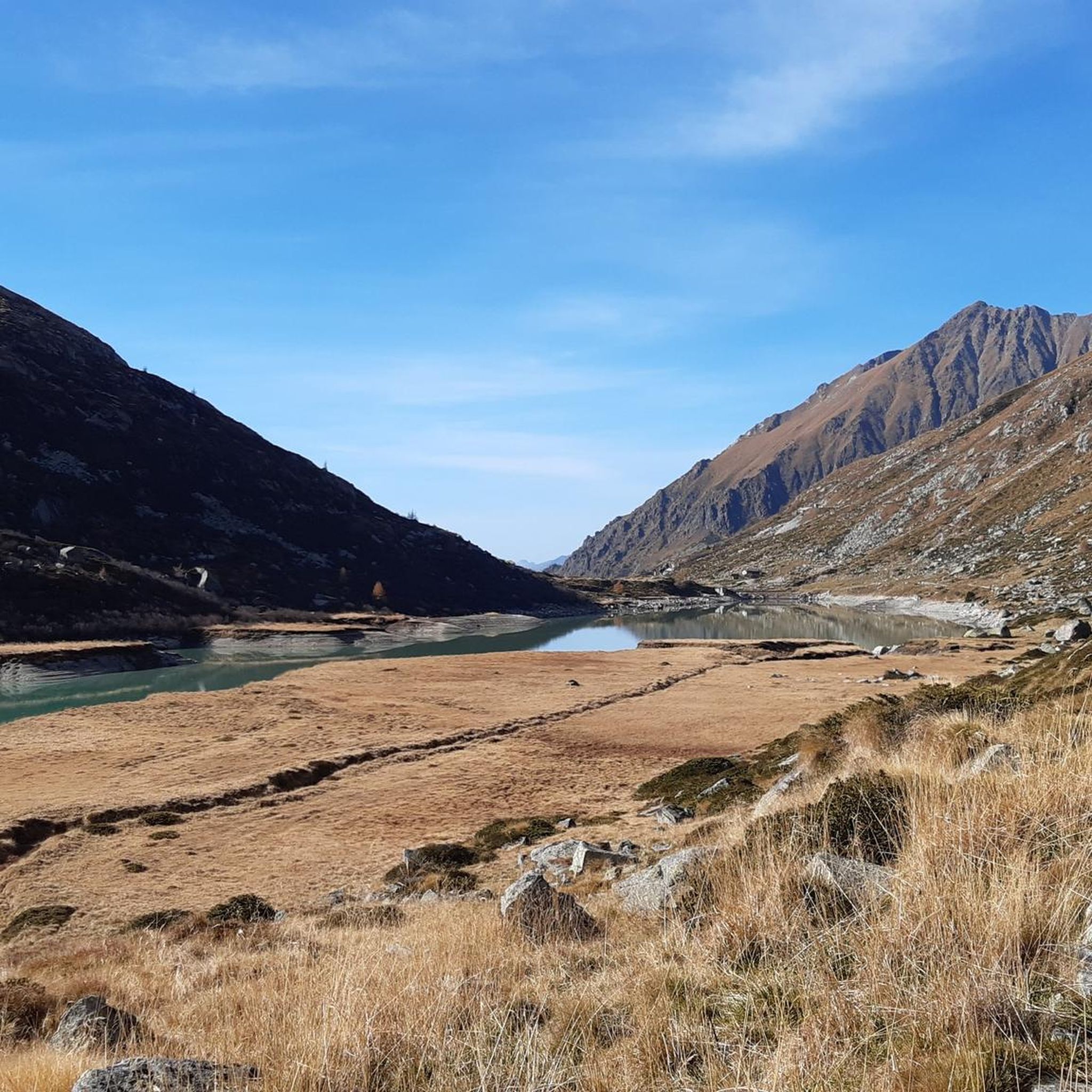
Road Cycling Routes around Saviore Dell'Adamello
Cycling around Saviore Dell'Adamello
Running Trails around Saviore Dell'Adamello

Gravel biking around Saviore Dell'Adamello
Other adventures around Saviore Dell'Adamello


Tips from the Community

Here is the very best polenta! 😋 For more information, link: https://sites.google.com/view/rifugiobedole/home-page
1
0

Modern and cozy, with indoor and outdoor tables with glacier view. Worth the visit!
0
0

Chapel at Ref. Mandron...view of the glaciers and the Val Genova
0
0

Brand new refuge, restaurant with large windows offering stunning views of the glacier. Even if it's cool outside, you won't miss out on the breathtaking beauty inside. Self-service outside, service inside. Friendly staff.
0
0

Superb route that I took from the Mandron refuge.
0
1

beautiful path that leads to the Lissone refuge
0
0

Excellent refuge, the refugee is very knowledgeable and always willing to offer advice. The food is good and the facility is well-maintained, and lastly, it's really cheap.
0
0
Excellent refuge. The refugee is very knowledgeable and available for advice. The food is good, the structure is well-maintained, sustainable, and finally, it's cheap for what you get. Highly recommended.
0
0
Frequently Asked Questions
How many mountaineering routes are available around Saviore Dell'Adamello?
There are over 15 mountaineering routes around Saviore Dell'Adamello, offering a range of experiences within the Adamello Regional Park. These routes are rated by the komoot community with an average score of 4.1 stars.
Are there mountaineering routes suitable for beginners in Saviore Dell'Adamello?
While many routes are challenging, there are options for those with moderate experience. For example, the Lago Miller – Malga del Miller loop from Malga Premassone is a moderate 4.8-mile (7.7 km) trail that takes about 3 hours 17 minutes, offering views of glacial lakes. Another moderate option is the Rifugio Baita Adamè loop from Malga Lincino, which is about 6.2 miles (10 km) long.
What are some notable natural features or landmarks to see along the mountaineering routes?
The region is rich in natural beauty. You can encounter high-altitude lakes like Lake Aviolo, which offers a serene setting with the impressive peaks of the Baitone group. The Passo Paradiso is another key attraction, providing magnificent views of the Presena glacier. You might also see the Malga Bissina Dam, a significant man-made monument in the landscape.
Are there any circular mountaineering trails in the area?
Yes, several routes are designed as loops. The Adamè Steps – Città di Lissone Hut loop from Malga Lincino is a difficult 5.9-mile (9.5 km) path that leads towards mountain huts. Another option is the Lake Malga Bissina – Val di Fumo Hut loop from Camper lago Malga Bissina, a moderate 8-mile (12.8 km) route.
What is the best time of year for mountaineering in Saviore Dell'Adamello?
The best time for mountaineering typically spans from late spring through early autumn, when snowmelt allows for better access to higher altitudes and glacial crossings. However, the significant elevation differences mean conditions can vary greatly. Always check local weather and trail conditions before heading out.
Are there mountain huts available along the routes for overnight stays or refreshments?
Yes, the region features several mountain huts. The Città di Lissone Hut and Colombé Hut are notable examples, offering hospitality and local cuisine amidst stunning mountain vistas. The Baita Adamè Mountain Hut and Rifugio Franco Tonolini and Lake Baitone also provide essential services for mountaineers.
What kind of wildlife can I expect to see in the Adamello Regional Park?
The Adamello Regional Park is a sanctuary for diverse wildlife due to its varied elevations. You might spot Alpine ibex, chamois, roe deer, red deer, marmots, and foxes. Birdwatchers may also be lucky enough to see golden eagles soaring above the peaks.
Are the mountaineering routes in Saviore Dell'Adamello dog-friendly?
Many trails within the Adamello Regional Park are generally accessible for dogs, but it's crucial to keep them on a leash, especially in areas with wildlife or livestock. Always check specific trail regulations and be prepared for varied terrain, including rocky sections and potential snowfields, which might be challenging for some dogs.
What are the parking options for accessing mountaineering trails?
Access points to many routes, such as those starting from Malga Premassone or Malga Lincino, typically have designated parking areas. For routes like the Malga del Miller – Lago Miller loop from Malga Premassone, parking is usually available at the trailhead or nearby access points. It's advisable to arrive early during peak season.
What makes the landscape around Saviore Dell'Adamello unique for mountaineering?
The landscape is profoundly shaped by millennia of glacial movement and erosion, featuring vast valleys, winding rivers, and majestic snow-capped peaks. The core of the Adamello group is characterized by igneous rocks like tonalites and granodiorites, and the awe-inspiring Adamello glacier, up to 250 meters deep, adds to its dramatic appeal. This creates a diverse terrain with challenging ascents and glacier crossings.
Are there any historical or cultural points of interest in the area?
Beyond its natural beauty, the area offers a blend of natural and cultural landscapes. Saviore Dell'Adamello itself has a rich history, evidenced by ancient rock carvings and remnants of World War I trenches, adding another layer of interest for visitors exploring the region.
Most popular routes around Saviore Dell'Adamello
Most popular attractions around Saviore Dell'Adamello

Get inspired with the komoot mobile app


Explore more
Browse the best Mountain Hikes & Routes in other regions.
