Top 16 Mountain Passes around St. Pankraz - San Pancrazio
Best mountain passes around St. Pankraz - San Pancrazio provide access to diverse alpine experiences in the Ultental Valley of South Tyrol, Italy. This region serves as a base for exploring high-altitude destinations and mountain passes. The landscape features prominent peaks, serene alpine lakes, and roads with historical significance. Visitors can find a variety of routes suitable for different activity levels.
Best mountain passes around St. Pankraz - San Pancrazio
- The most popular mountain passes is Laugen Spitze – Monte…
Last updated: June 26, 2026
Gampen Pass / Passo Palade
Highlight • Mountain Pass
Translated by Google •
Tip by

Laugen Spitze – Monte Luco
Highlight • Summit
The Laugen is located in the outermost Ulten Valley and flanks the southern side of the Ulten Mountains (mountain range of the Maddalene - Ilmenkamm). Different …
Translated by Google •
Tip by

Sign up now to discover places like this
Get recommendations on the best single tracks, peaks, & plenty of other exciting outdoor places.
Sign up for free
Ascent to Passo delle Palade from Lana
Highlight (Segment) • Mountain Pass
Translated by Google •
Tip by

Gampenpass (Passo Palade) bus stop
Highlight • Rest Area
Translated by Google •
Tip by

Gampen Pass (Passo Palade)
Highlight • Mountain Pass
Translated by Google •
Tip by

Sign up for free to discover even more mountain passes around St. Pankraz - San Pancrazio.
Sign up for free
Already have an account?
Start today with a free account
Your next adventure awaits.
Login or Signup
Popular around St. Pankraz - San Pancrazio
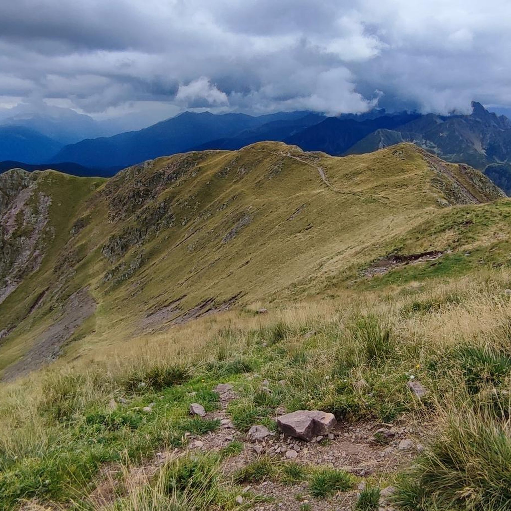
Hiking around St. Pankraz - San Pancrazio
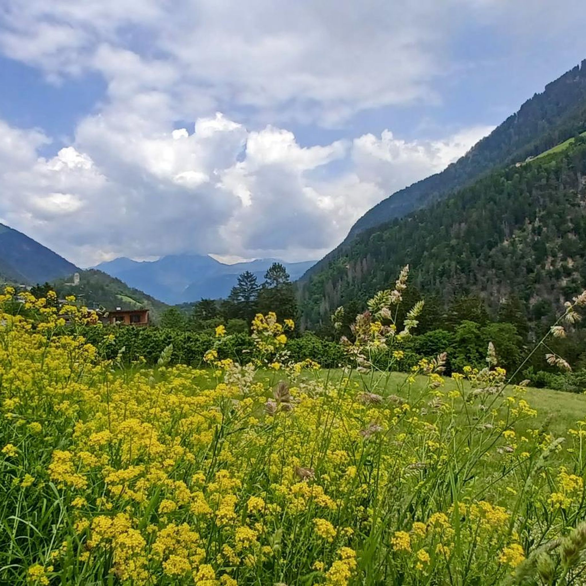
Cycling around St. Pankraz - San Pancrazio
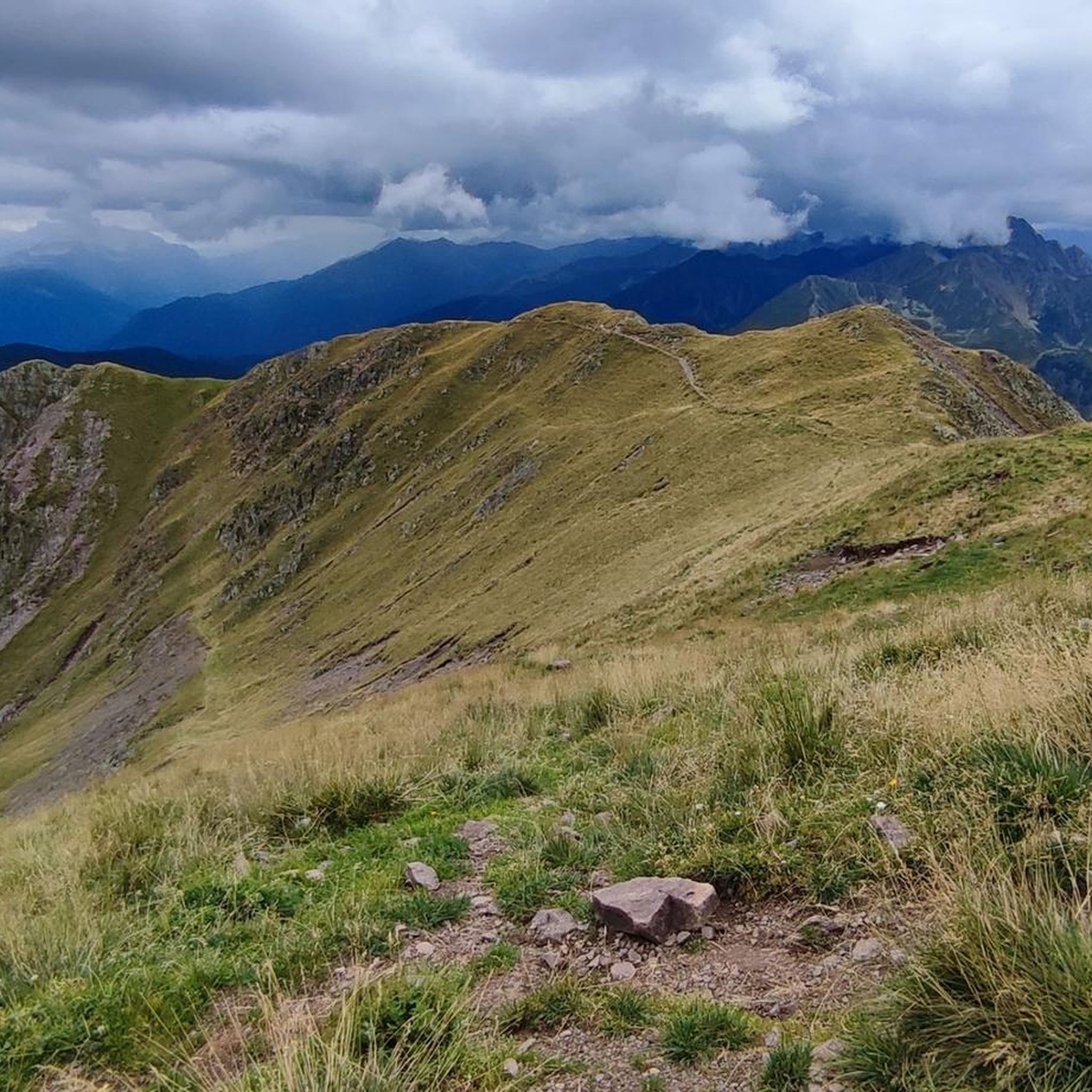
Running Trails around St. Pankraz - San Pancrazio

Road Cycling Routes around St. Pankraz - San Pancrazio

Gravel biking around St. Pankraz - San Pancrazio
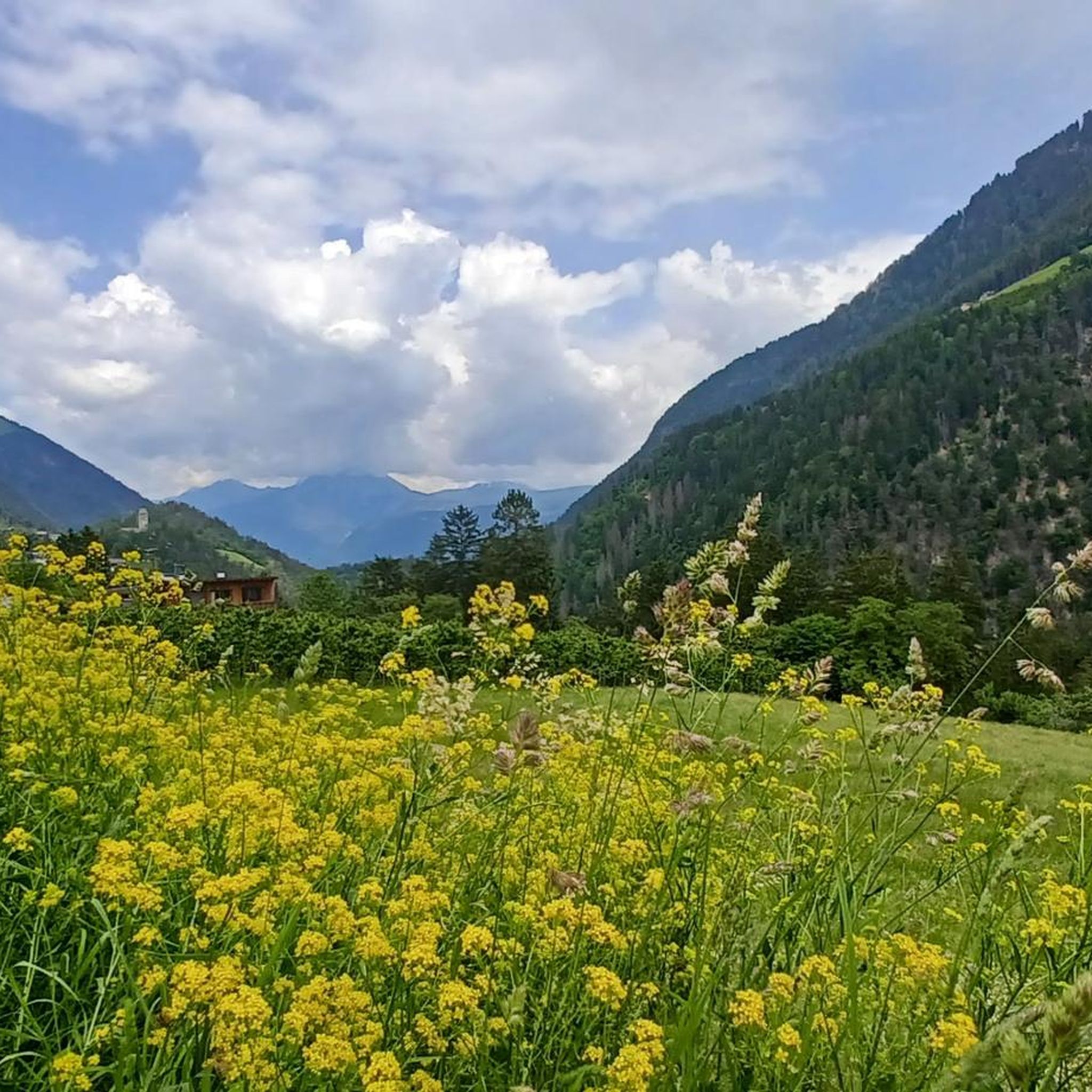
MTB Trails around St. Pankraz - San Pancrazio
Mountain Hikes around St. Pankraz - San Pancrazio
Tips from the Community

The Laugenspitze (Italian: Monte Luco) at 2,434 meters is the highest mountain in the Nonsberg Group in South Tyrol. The striking porphyry double peak consists of the Große Laugen (2,434 m) and the Kleine Laugen (2,297 m), which are separated by the picturesque Laugensee (2,182 m). Due to its freestanding location, it offers an excellent viewing platform over the Etschtal valley, the Meraner Land region, the Vinschgau valley, and as far as the Dolomites.
0
0

Either arrive early (before 8:30) or use the parking bays before or after (each 500m away). Parking is prohibited on the country road.
0
0

The climb to the Passo delle Palade from Lana connects the Val d'Adige with the Val di Non. It is about 18 kilometers long with a difference in altitude of 1200 meters. The gradient is fairly constant for most of the route. The road passes through several villages before tackling the numerous hairpin bends that climb through the woods to the 1518 meters of the pass.
2
1

Perfect place to start a beautiful mountain tour. There is also free parking for cars
3
0

Climb from Nalles very tough Descent via Lana perfect, good surface, no big curves
1
0

Several hikes can be started from the Gampenpass bus stop. There is also a small parking lot there.
0
0

Attention, the Laugenalm, a popular place to stop for refreshments until recently, is unfortunately currently closed. not managed.
0
1

Dear colleagues, I live on the Gampenpass Straße, I drive to work on this street every day, I cycle up the pass almost once a week. But by bike only between 6.00 and 8.00 in the morning!!! The Gampenpass road is the connection between the Adige Valley (Lana) and the Nonsberg (Fondo), commuter traffic, individual traffic, heavy traffic and tourists and many bikers run there. If you want to do a quiet tour, you should take my tip into account! Have fun Michael
8
1
Frequently Asked Questions
What are some of the most notable mountain passes and high-altitude destinations around St. Pankraz - San Pancrazio?
The region offers a diverse range of experiences. The Timmelsjoch Pass is a high-alpine border pass known for its spectacular scenery and challenging road. The Gampen Pass (Passo Palade) provides a less strenuous but equally scenic route with historical significance. For hikers, the Laugen Spitze – Monte Luco offers panoramic views, and the tranquil Lago di Pancrazio (Kratzberger See) is a beautiful alpine lake destination.
Which mountain passes offer a challenging experience for cyclists or drivers?
The Timmelsjoch Pass is renowned for its high-alpine road, featuring approximately 30 hairpin bends and a maximum gradient of 13%. It's a rewarding experience for those seeking a demanding drive or cycle. The ascent to Passo delle Palade from Lana is also a significant cycling challenge, covering about 18 kilometers with a 1200-meter altitude difference.
Are there mountain passes with historical significance near St. Pankraz - San Pancrazio?
Yes, the Gampen Pass (Passo Palade) has a rich history. It served as a border point and customs center, and you can visit the remains of a World War II bunker complex, the "Gampen Bunker," which now functions as a museum. This offers a unique glimpse into the region's past.
What kind of views can I expect from the mountain passes and peaks in the area?
From the Laugen Spitze – Monte Luco summit, you'll be rewarded with sensational 360-degree panoramic views across South Tyrol, including the Texel Group, Ortler Alps, and even the Brenta Dolomites. The Timmelsjoch Pass offers dramatic alpine landscapes with views of glaciers and mountain meadows, while the Gampen Pass provides beautiful vistas of the Nonsberg Group and Mendelkamm.
What is the best time of year to visit the mountain passes around St. Pankraz - San Pancrazio?
Due to high elevations, passes like the Timmelsjoch are typically open from early June to late October. The Gampen Pass road is generally open year-round. For hiking, late spring to early autumn (June to September) usually offers the most favorable weather conditions, though planning ahead for specific pass openings and weather changes is always recommended.
Are there hiking opportunities near these mountain passes?
Absolutely. The Laugen Spitze – Monte Luco is a prominent hiking destination with various ascent routes. The tranquil Lago di Pancrazio (Kratzberger See) is also reached via a moderate hike, offering stunning mountain panoramas. For more hiking options, explore the many trails available in the region by visiting the Running Trails around St. Pankraz - San Pancrazio guide.
Can I reach any of the mountain passes by public transport?
Yes, the Gampenpass (Passo Palade) bus stop serves as a starting point for various tours. Bus line 246 connects Merano and Fondo, making it accessible for those without a car. It's advisable to check the bus schedule in advance as services may not run frequently throughout the day.
What kind of cycling routes are available around St. Pankraz - San Pancrazio?
The region offers a variety of cycling experiences, from intermediate climbs like the Ascent to Passo delle Palade from Lana to challenging road cycling routes. You can find more detailed information and routes in the Cycling around St. Pankraz - San Pancrazio guide and the Road Cycling Routes around St. Pankraz - San Pancrazio guide.
Are there any facilities or places to eat near the mountain passes?
Near the Gampenpass (Passo Palade) bus stop, there are parking spaces and an inn that offers accommodation and a restaurant. For hikers heading to Laugen Spitze, the cozy Laugen dairy hut (Laugenalm) provides a spot for rest and refreshments. The Timmelsjoch Pass also features experience stations, including a Pass Museum.
What do visitors enjoy most about the mountain passes in this region?
Visitors frequently praise the stunning panoramic views, especially from peaks like Laugen Spitze – Monte Luco, which offers a 360-degree vista. The challenging yet rewarding experience of cycling or driving the high-alpine roads, such as the Timmelsjoch, is also highly valued. The blend of natural beauty with historical elements, like the Gampen Pass bunker, adds a unique dimension to the experience.
Is the Timmelsjoch Pass accessible year-round?
No, due to its high elevation of 2,474 meters, the Timmelsjoch Pass is typically only open from early June to late October. Night driving is also prohibited. It's always best to check current conditions before planning your trip.
Most popular routes around St. Pankraz - San Pancrazio
Most popular attractions around St. Pankraz - San Pancrazio

Get inspired with the komoot mobile app


Explore more
See even more epic mountain passes by checking out these guides around St. Pankraz - San Pancrazio:
