The best mountain hikes around St. Pankraz - San Pancrazio
4.8
(242)
2,011
hikers
106
hikes
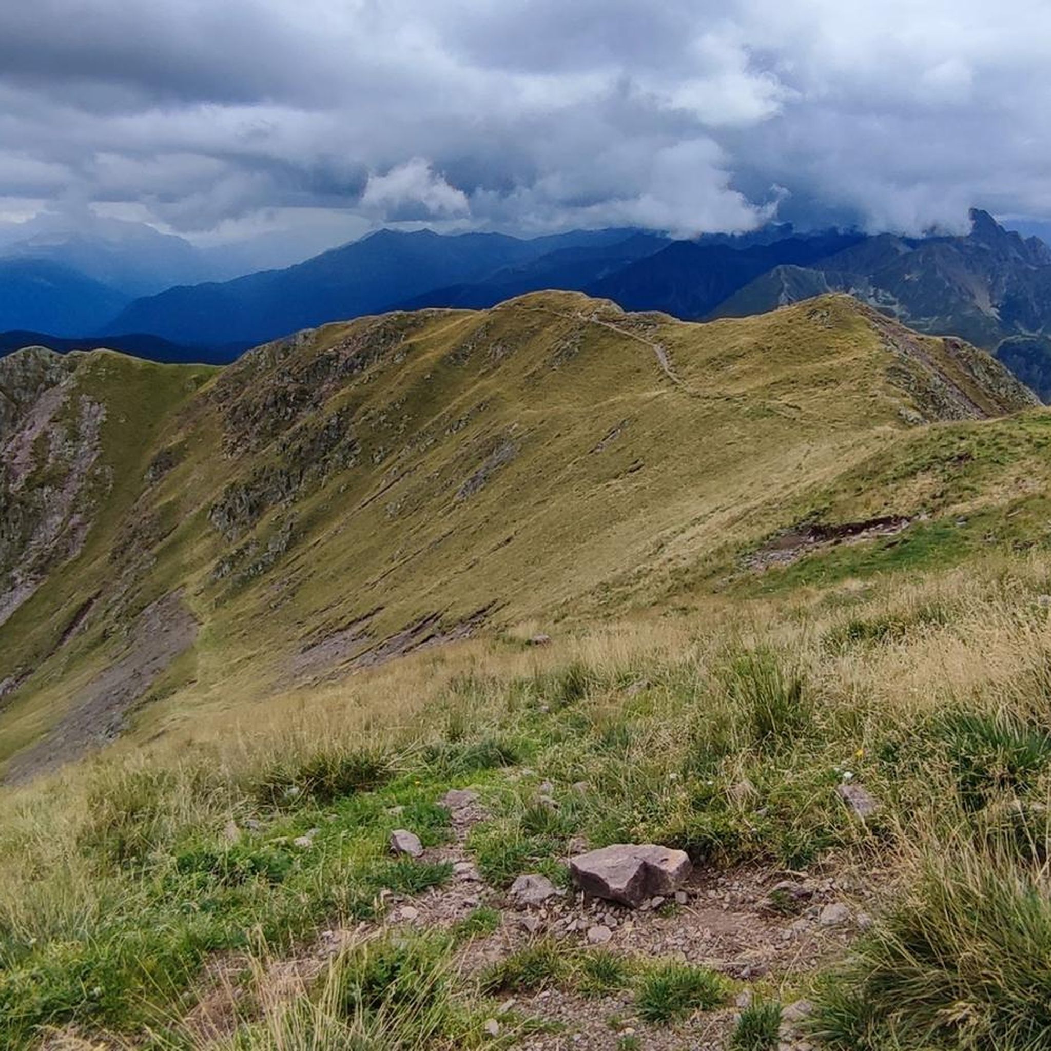
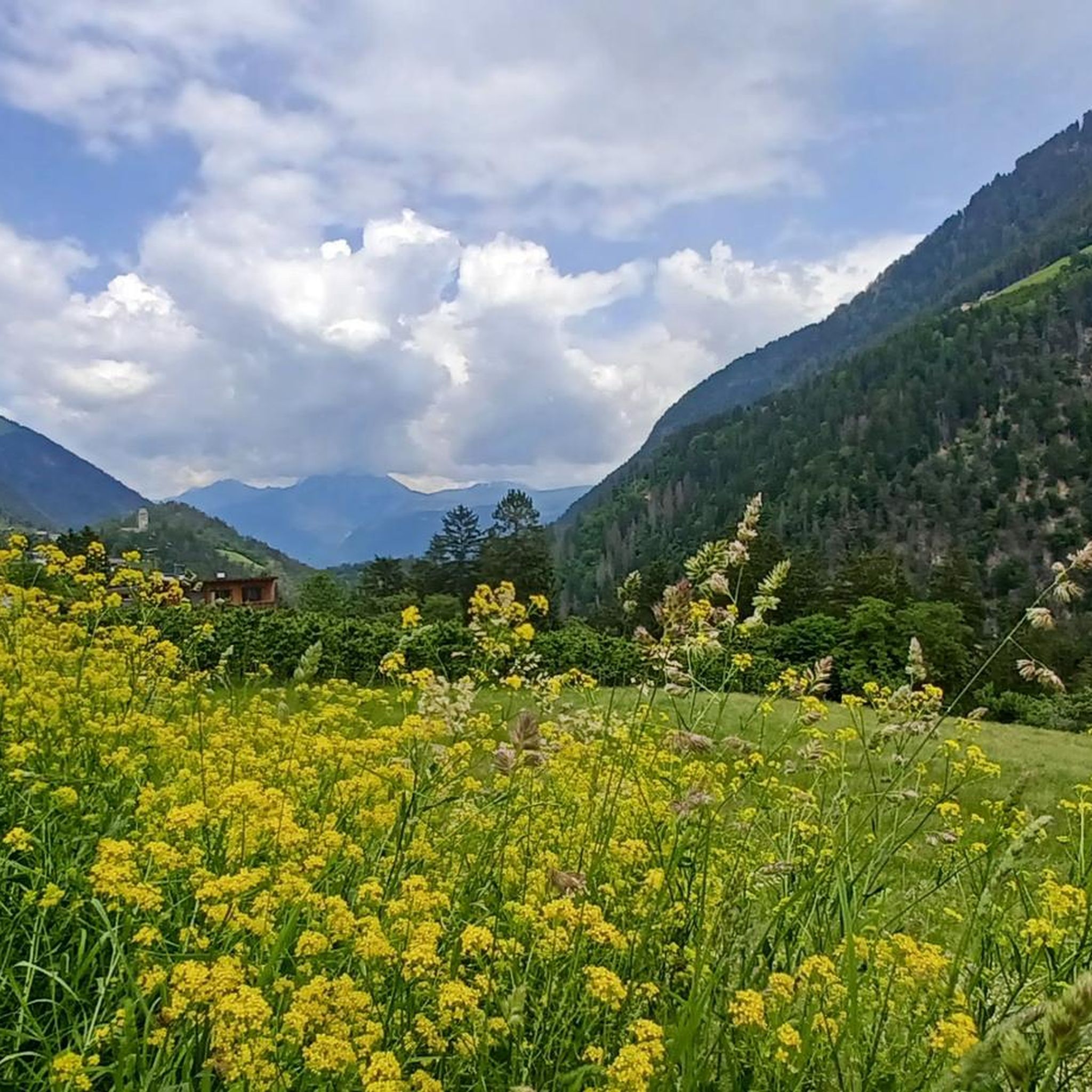
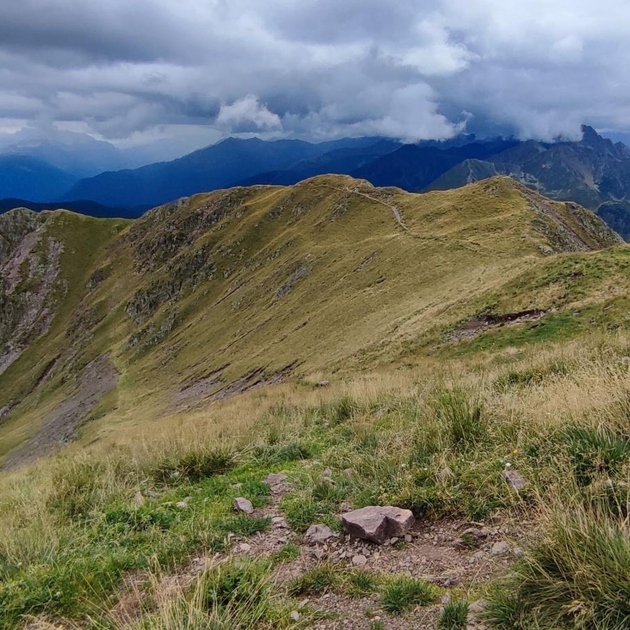
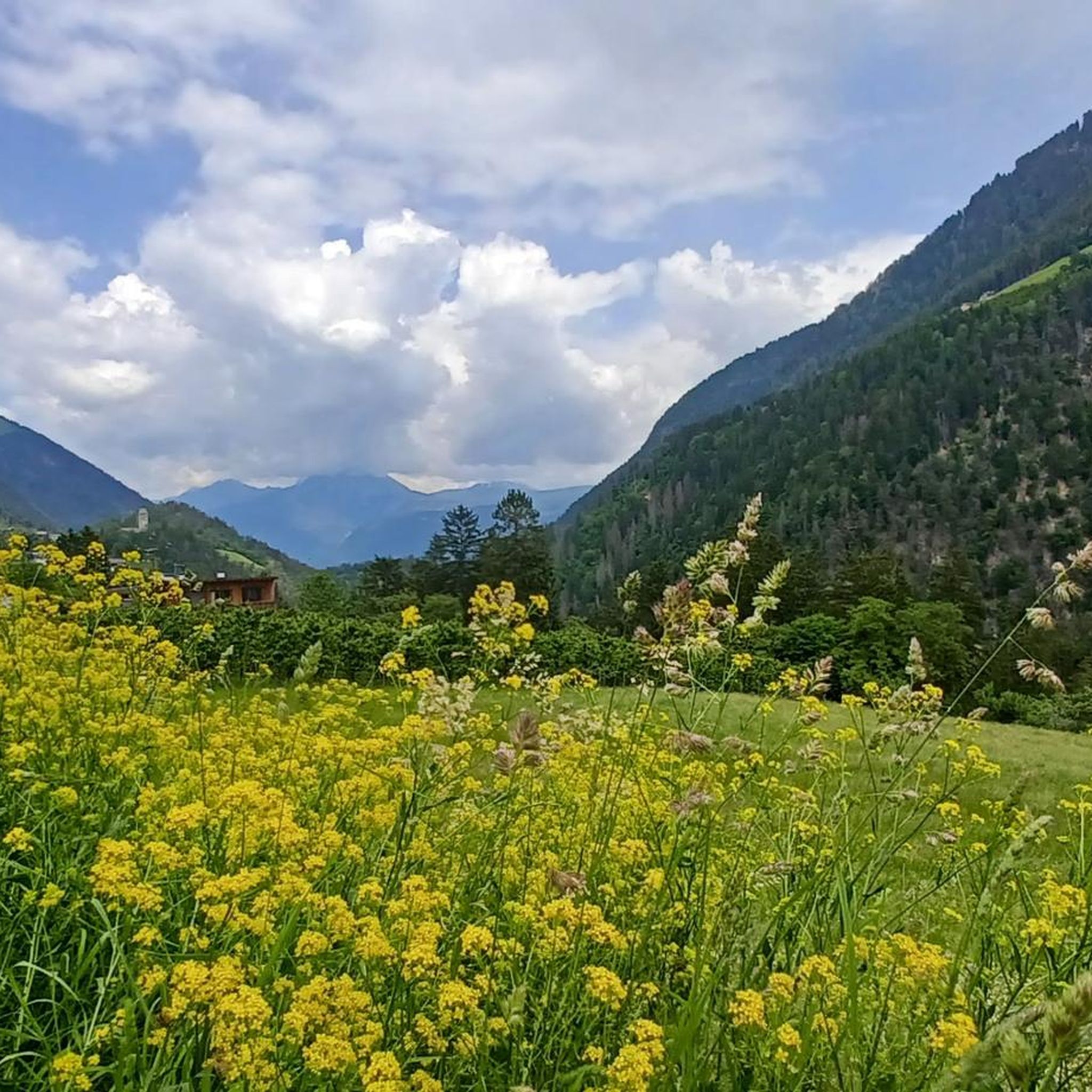
Mountaineering routes around St. Pankraz - San Pancrazio are set within Italy's Ultental (Val d'Ultimo) in South Tyrol, characterized by a dramatic alpine landscape. The region features lush valleys, dense forests, and majestic peaks like Hochwart (2608 meters) and Große Laugenspitze (2434 meters). Crystal-clear mountain lakes, such as Lago di Pancrazio, and the meandering Falschauer River further define the terrain. This area offers a diverse network of trails, from moderate paths to challenging summit expeditions.
Best mountaineering routes around St.…
Last updated: September 27, 2026
4.8
(5)
31
hikers
Moderate mountaineering route. Good fitness required. Mostly accessible paths. Sure-footedness required.
5.0
(4)
20
hikers
11.7km
05:56
960m
960m
Hard mountaineering route. Very good fitness required. Sure-footedness, sturdy shoes and alpine experience required.

5.0
(3)
19
hikers
7.82km
03:53
670m
670m
Hard mountaineering route. Good fitness required. Sure-footedness, sturdy shoes and alpine experience required.
5.0
(1)
16
hikers
Hard mountaineering route. Good fitness required. Sure-footedness, sturdy shoes and alpine experience required.
13
hikers
18.9km
08:03
1,190m
1,190m
Hard mountaineering route. Very good fitness required. Sure-footedness, sturdy shoes and alpine experience required.
Get access to more routes and recommendations from other explorers.
Already have an account?
Our route recommendations are based on thousands of hikes, rides, and runs completed by other people on komoot.
Start today with a free account
Your next adventure awaits.
Popular around St. Pankraz - San Pancrazio


Tips from the Community

The trail does have exposed sections, but they can be mastered with caution and the necessary sure-footedness. Poles provide security and are helpful. You will be rewarded with magnificent views of the Dolomites, the Brenta Group, and the Trentino.
0
0

Nice place to stop on the way to Falkomaisee
1
0

Incredibly idyllic and original alpine pasture! Very delicious food at moderate prices, especially the Kaiserschmarrn is recommended! Super warm hosts! Clear recommendation!
2
0

Wonderful view, children's playground, very good food
0
0

Great view, delicious Kaiserschmarrn
0
0
Great little alpine hut, incredibly friendly host. Delicious food at reasonable prices. You could even go bowling :-)
3
0

Frequently Asked Questions
How many mountaineering routes are available in St. Pankraz - San Pancrazio?
The St. Pankraz - San Pancrazio region offers a vast network of trails, with over 100 mountaineering routes documented on komoot. These range from moderate paths to challenging summit expeditions, providing diverse options for all skill levels.
What kind of natural features can I expect to see while mountaineering in this region?
St. Pankraz - San Pancrazio is characterized by a dramatic alpine landscape, featuring lush valleys, dense forests, and majestic peaks like Hochwart (2608 meters) and Große Laugenspitze (2434 meters). You'll also encounter crystal-clear mountain lakes, such as Lago di Pancrazio, and the meandering Falschauer River. The Ultental is known as the greenest valley in South Tyrol, with ancient larch trees near St. Gertraud, some over 2000 years old.
Are there any easier mountaineering routes for beginners or those seeking a less strenuous experience?
Yes, while many routes are challenging, there are options for those seeking a more moderate experience. For example, the Schwarze Lacke Biotope – Church of St. Vigilio loop from Oberhöfe - Masi di Sopra is a moderate 9.7 km route that offers scenic views and cultural landmarks without extreme difficulty.
What are some of the more challenging mountaineering routes in St. Pankraz - San Pancrazio?
For experienced mountaineers, the region offers numerous difficult routes. The Spitzner Kornigl Summit – Schöngrubspitze loop from Passo Castrin - Hofmahdjoch is a difficult 11.7 km path ascending to prominent summits with expansive alpine vistas. Another challenging option is the Hochjoch Summit – Peilstein (2,542 m) loop from Pankrazer Stausee - Lago di Alborelo, which covers over 18 km with significant elevation gain.
Are there any circular mountaineering routes available?
Yes, many routes in the region are designed as loops, allowing you to start and end at the same point. A popular circular route is the Hofmahd Parking Lot – Revò Hut loop from Passo Castrin - Hofmahdjoch, which is 7.8 km long and leads through alpine meadows towards mountain huts. Another is the Kornigl Summit – Spitzner Kornigl Summit loop from Passo Castrin - Hofmahdjoch.
What is the best time of year for mountaineering in St. Pankraz - San Pancrazio?
The best time for mountaineering in St. Pankraz - San Pancrazio is typically from late spring through early autumn (May to October), when trails are generally free of snow and weather conditions are more stable. Summer offers lush landscapes and warmer temperatures, while early autumn provides stunning fall foliage. Always check local weather and trail conditions before heading out, especially for higher-altitude routes.
What kind of elevation gain can I expect on these mountaineering routes?
The elevation gain varies significantly depending on the route's difficulty. Moderate routes might involve around 400-600 meters of ascent, while difficult routes can easily exceed 900-1200 meters of elevation gain. For instance, the Spitzner Kornigl Summit – Schöngrubspitze loop has an elevation gain of over 950 meters.
Are there any interesting landmarks or viewpoints along the mountaineering routes?
Absolutely. The region is rich in natural and cultural landmarks. You can find stunning viewpoints like Knottnkino on Rotsteinkogel or enjoy the View from Hochmuth of Merano and the Adige Valley. The St. Vigilius Church on Mount San Vigilio is another notable sight. The area also features the unique 'Häusl am Stein' (house on the rock) in the village itself.
What do other mountaineers enjoy most about the routes in St. Pankraz - San Pancrazio?
The mountaineering routes in St. Pankraz - San Pancrazio are highly rated by the komoot community, with an average score of 4.8 stars from over 240 reviews. Reviewers often praise the untouched natural beauty, the diverse landscapes ranging from lush valleys to majestic peaks, and the extensive network of trails that cater to various skill levels. The serene escape from mass tourism and the preservation of rural architecture are also frequently highlighted.
Are there places to eat or stay near the mountaineering trails?
Yes, you'll find various huts and mountain inns that offer refreshments and sometimes accommodation. Notable options include the Dursterhof Mountain Inn, Leiteralm, and Linthof Mountain Inn. These provide excellent spots to rest and refuel during or after your mountaineering adventures.
Is public transport available to access trailheads in St. Pankraz - San Pancrazio?
The Ultental region, including St. Pankraz - San Pancrazio, is generally well-connected by public transport, making it possible to reach many trailheads without a car. Local bus services operate within the valley, linking villages and often providing access to popular starting points for hikes. It's advisable to check the local bus schedules for specific routes and timings to plan your journey effectively.
Can I bring my dog on the mountaineering trails in St. Pankraz - San Pancrazio?
Many trails in the St. Pankraz - San Pancrazio region are dog-friendly, allowing you to enjoy the alpine scenery with your canine companion. However, it's always recommended to keep your dog on a leash, especially in areas with livestock or wildlife, and to check for any specific restrictions on individual routes or within protected areas like parts of the Stelvio National Park. Always carry water for your dog and clean up after them.
Most popular routes around St. Pankraz - San Pancrazio
Most popular attractions around St. Pankraz - San Pancrazio

Get inspired with the komoot mobile app


Explore more
Browse the best Mountain Hikes & Routes in other regions.
