The best cycling routes around Contigliano
4.5
(263)
2,694
riders
176
rides
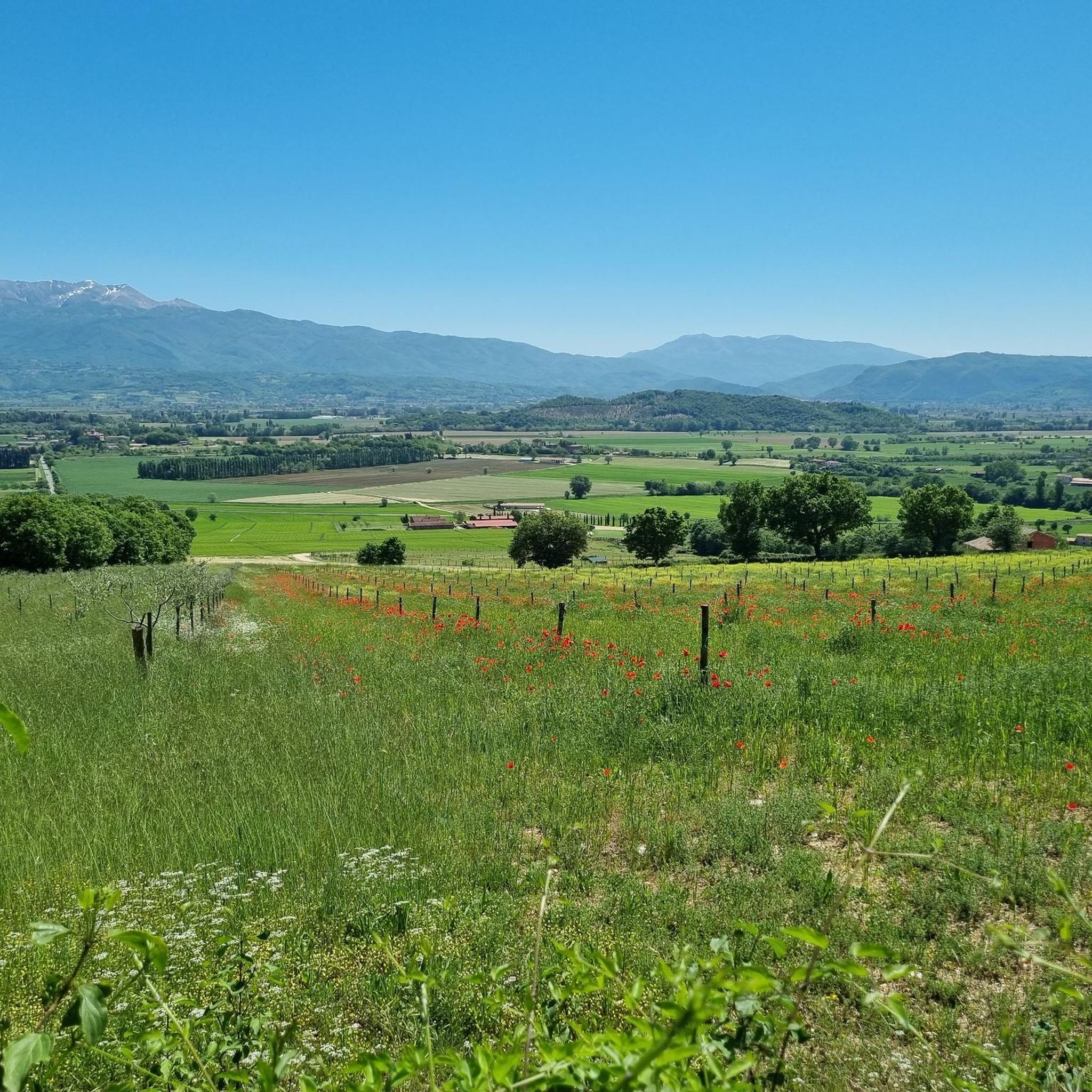
Touring cycling around Contigliano offers diverse landscapes, from the wooded slopes of the Sabini Mountains to the flat wetland areas of the Rieti Plain. The region is characterized by varied terrain, including challenging mountain roads and gentler paths. Contigliano is situated within the Natural Reserve of Lakes Lungo and Ripasottile, providing tranquil natural features adjacent to cycling routes.
Best touring cycling routes around Contigliano
- The most popular touring cycling route is Roman Bridge over the Velino River – Rieti Cycle…
Last updated: July 5, 2026
4.6
(27)
136
riders
Moderate bike ride. Good fitness required. Mostly paved surfaces. Suitable for all skill levels.
4.8
(5)
73
riders
71.1km
05:16
1,570m
1,570m
Hard bike ride. Very good fitness required. Mostly paved surfaces. Suitable for all skill levels.

Sign up for free
5.0
(1)
14
riders
Moderate bike ride. Good fitness required. Mostly paved surfaces. Suitable for all skill levels.
10
riders
15.5km
00:55
30m
30m
Easy bike ride. Great for any fitness level. Mostly paved surfaces. Suitable for all skill levels.
5.0
(5)
6
riders
43.0km
02:35
300m
300m
Moderate bike ride. Good fitness required. Mostly paved surfaces. Suitable for all skill levels.
Get access to more routes and recommendations from other explorers.
Sign up for free
Already have an account?
Our route recommendations are based on thousands of hikes, rides, and runs completed by other people on komoot.
Start today with a free account
Your next adventure awaits.
Login or Signup
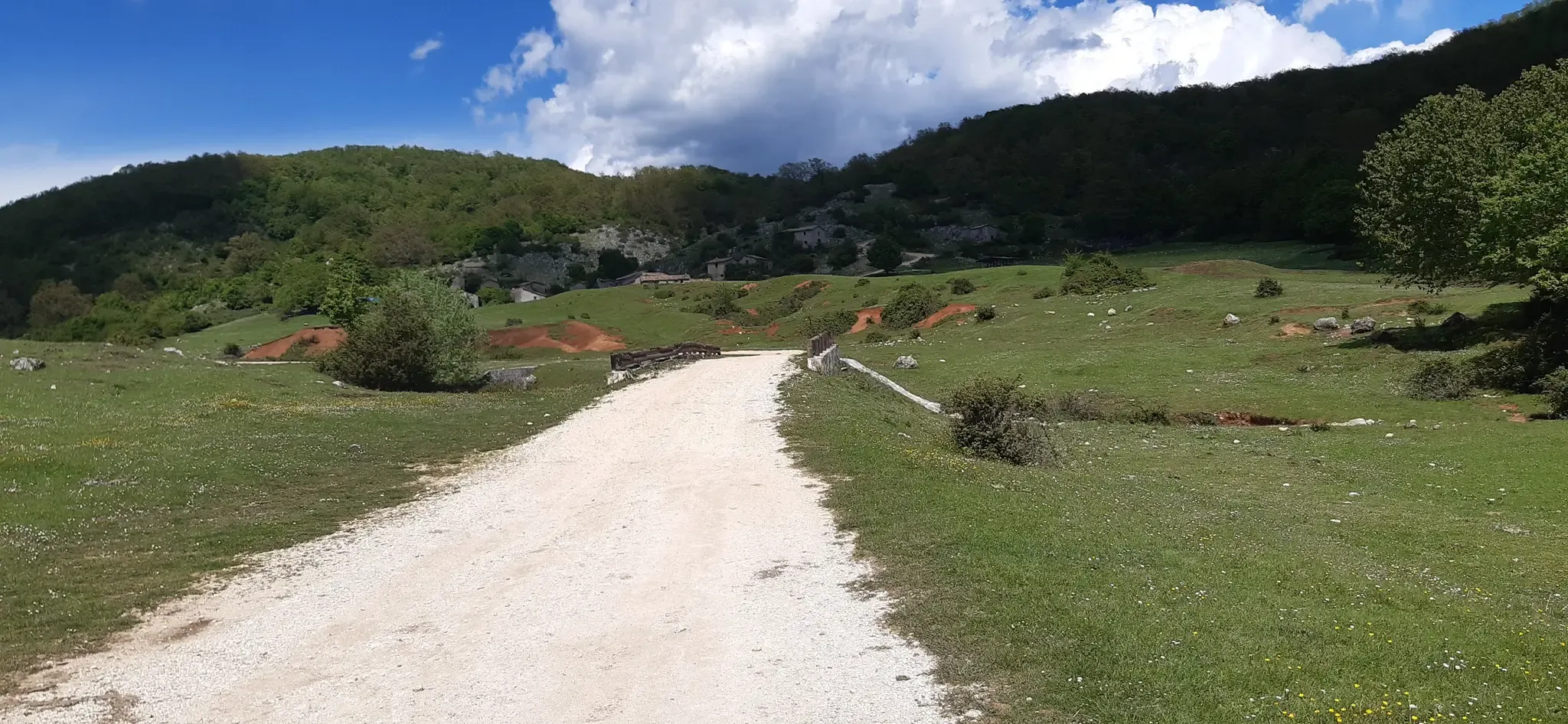
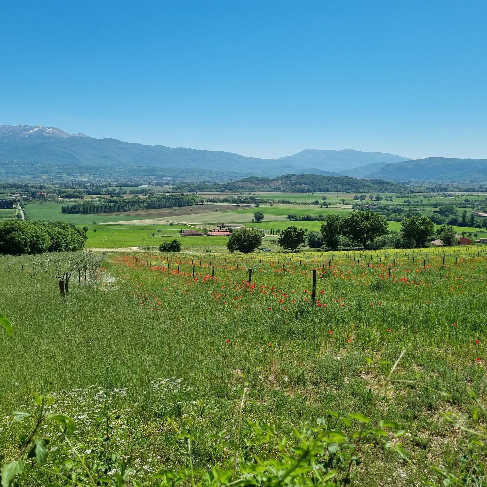
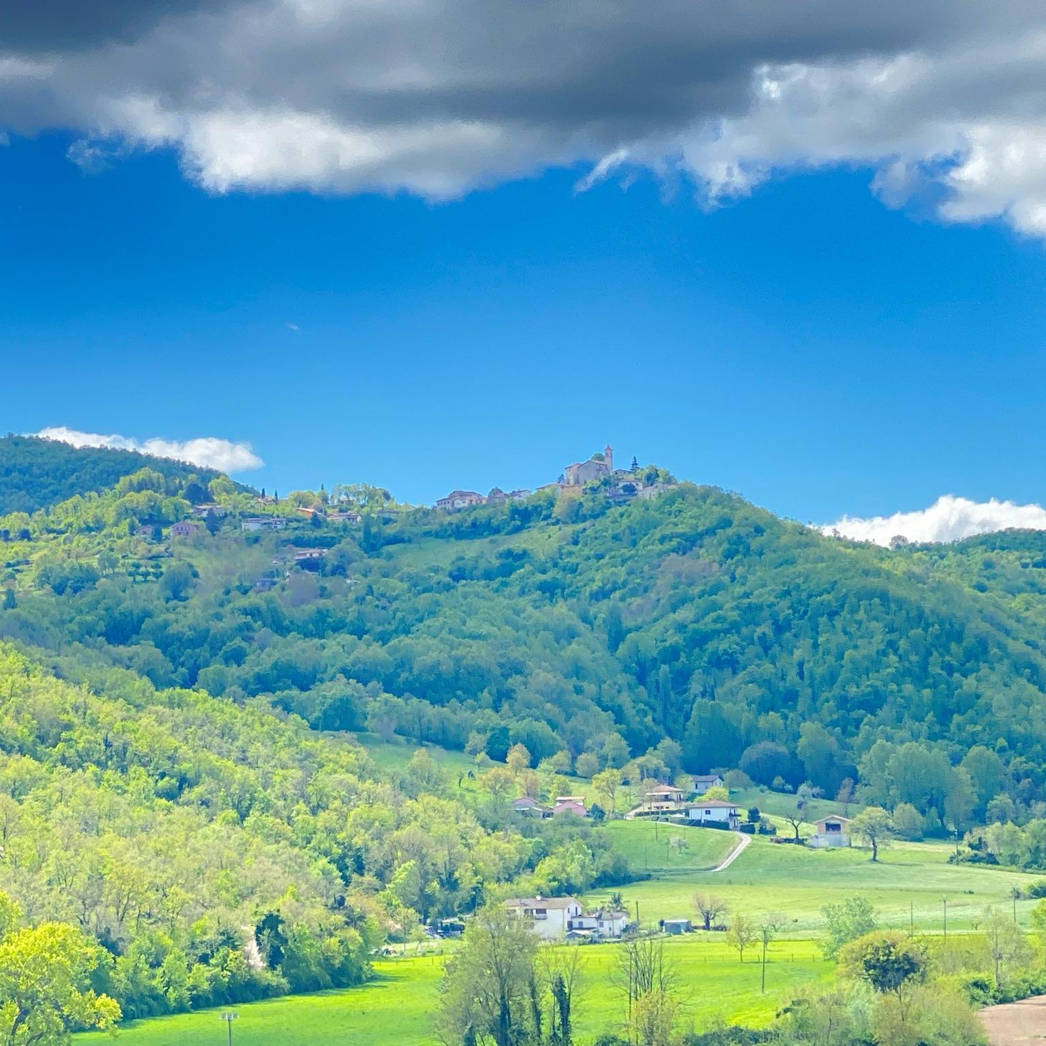

Other adventures around Contigliano

Tips from the Community

Via Roma is the central shopping street of Rieti.
1
0

The town of Pian de’ Valli, is located in the municipality of Rieti, stands at the foot of Terminillo, at an altitude of 1620 meters, hosts many accommodation and commercial activities, and the departure station of the ski lifts is located a few steps from the center. The famous Terminillo cable car is still in operation today both in the winter and summer seasons and is the historical symbol of Pian de’ Valli.
2
0

Duomo di Santa Maria Assunta, Rieti The Cathedral of Saint Mary, Mother of God The Cathedral of Rieti, dedicated to Santa Maria Madre di Dio and commonly known as the Cathedral of the Assumption of the Virgin Mary, was rebuilt on the foundations of the early Christian basilica, documented since the fifth century, between 1109 and 1225. The lower basilica, consecrated in 1157 and striking for its sober and composed forms, is divided into nine naves supported by columns made from the rubble of ancient Roman buildings, among which stands out a milestone of the consular salaria. The upper basilica, in which the architectural lines of the Romanesque plan have remained intact, demonstrates the radical changes resulting from the adaptation of liturgical norms and the change in tastes and styles. Of particular value is the decoration of the main portal, which interprets the motif of acanthus spirals, with clear classical assonance, reinterpreted in the Christian iconography of the Tree of Life. Text / Source: Official Tourist Portal of the City of Rieti https://www.visitrieti.com/2020/01/25/la-cattedrale-di-s-maria-madre-di-dio/
14
0
Umbilicus Italiæ - Centro d'Italia, Rieti / Geographical Center of Italy In Piazza San Rufo, Varronian tradition places the so-called Umbilicus Italiae, the geographical center of Italy, commemorated by a plaque. Piazza San Rufo is located amidst the imposing buildings of the historic center, which line the main streets Via Roma and Via Garibaldi. In the center of the square, a section of wall, a remnant of the Roman city's first city walls, can be seen beneath the pavement. The value of this area is commemorated by a plaque and a monument with a unique shape, located exactly in the center of the square and aptly called "la caciotta" (the caciotta) for its rounded and circular design. The work, created between the 1980s and 1990s following the city's twinning with the Georgian capital Tbilisi, appears to resemble the base of a column and features the design of the Italian peninsula on its surface, accompanied by the inscription "Umbilicus Italiae" (Umbilicus Italiae), which runs along half the circumference of the monument itself. Text / Source: Official Tourist Portal of the City of Rieti https://www.visitrieti.com/2020/01/25/rieti-umbilicus-italiae/
14
0

Nestled in the green woods of the province of Rieti, Lake Ventina is very small (its surface area is about 0.1 square kilometers) but very charming. It is located in the alluvial plain of the Conca Reatina and its maximum depth is 3.5 meters. It is possible to swim in it, but the lake is especially known for fishing.
0
0

The abundance of water in the city of Rieti and the recurring floods of the Velino river also made it necessary to build a viaduct to raise the Salaria and cross the river with a solid stone bridge, the remains of which are still visible under the current bridge.
0
0
The three entrance portals to the cathedral and the bell tower maintain the original Romanesque style.
0
0
Via Roma is the most important historical street in Rieti, it connects Piazza Vittorio Emanuele to the Roman bridge, it was an ancient extension of the Via Salaria towards Rome.
0
0
Frequently Asked Questions
How many touring cycling routes are available around Contigliano?
There are over 160 touring cycling routes around Contigliano, offering a wide range of options for different skill levels and preferences. The komoot community has rated these routes highly, with an average score of 4.5 stars.
What kind of terrain can I expect on touring cycling routes near Contigliano?
The region around Contigliano offers diverse terrain. You'll find routes traversing the wooded slopes of the Sabini Mountains, providing challenging climbs and panoramic views. In contrast, the Rieti Plain offers flatter, more leisurely paths, especially around the Natural Reserve of Lakes Lungo and Ripasottile. Many routes feature mostly paved surfaces, but some segments might be unpaved.
Are there any easy touring cycling routes suitable for beginners or families in Contigliano?
Yes, Contigliano offers several easy touring cycling routes. For instance, the Conca Reatina Cycle Path loop from Contigliano is an easy 8.7-mile (14.0 km) trail that leads through the Conca Reatina and can be completed in under an hour, making it ideal for a relaxed ride.
Can I find challenging touring cycling routes with significant elevation around Contigliano?
Absolutely. The Sabini Mountains provide a scenic backdrop and offer more strenuous routes for experienced cyclists. For example, the Rieti Cycle Path – Cantalice Historic Village loop from Poggio Fidoni is a difficult 29.7-mile (47.8 km) route with over 1,900 feet (590 meters) of elevation gain, exploring the historic village of Cantalice.
What interesting landmarks or attractions can I see along touring cycling routes in Contigliano?
Many routes offer glimpses of historical and natural attractions. You might encounter historic villages, such as the Arrone Historic Village, or pass by significant religious sites like the Sanctuary of Greccio. The area is also known for the stunning Marmore Falls, which can be a destination or a nearby point of interest on some tours.
Are there any circular touring cycling routes in the Contigliano area?
Yes, many touring cycling routes around Contigliano are designed as loops, allowing you to start and end at the same point. An example is the Roman Bridge over the Velino River – Rieti Cycle Path loop from Santuario di Greccio, a moderate 21.8-mile (35.1 km) trail.
What do other touring cyclists enjoy the most about cycling in Contigliano?
The komoot community highly rates touring cycling in Contigliano, with an average score of 4.5 stars from over 200 reviews. Cyclists often praise the diverse landscapes, which range from challenging mountain roads to tranquil paths through the Rieti Plain and the Natural Reserve of Lakes Lungo and Ripasottile. The blend of natural beauty and historic villages is also a frequently mentioned highlight.
Is Contigliano well-connected by public transport for cyclists?
Contigliano is a charming village, and while specific public transport options for cyclists might vary, the region is generally accessible. For detailed information on public transport schedules and bike accessibility, it's advisable to check local transport authority websites or inquire locally upon arrival.
What is the best time of year to go touring cycling in Contigliano?
The area around Contigliano, with its Mediterranean climate, generally offers pleasant cycling conditions for much of the year. Spring and autumn are often ideal, providing mild temperatures and beautiful scenery. Summer can be warm, especially in the plains, while winter might bring cooler temperatures, particularly in the mountains.
Are there any routes that pass through historic villages or offer cultural insights?
Many routes in the Contigliano area weave through or near historic villages, allowing cyclists to experience the region's rich cultural heritage. For instance, the Cantalice Historic Village – Roman Bridge over the Velino River loop from Poggio Fidoni takes you past the charming village of Cantalice, offering a glimpse into local history and architecture.
Where can I find parking if I drive to a touring cycling route trailhead in Contigliano?
While specific parking details for every trailhead are not available, Contigliano and surrounding villages typically offer public parking areas. It's recommended to check local maps or use navigation apps to locate suitable parking near your chosen starting point, especially in smaller villages where space might be limited.
Are there any touring cycling routes that explore the Natural Reserve of Lakes Lungo and Ripasottile?
Yes, the Natural Reserve of Lakes Lungo and Ripasottile, a flat wetland area, is adjacent to cycling paths and offers tranquil routes ideal for nature observation. While specific routes directly within the reserve are not detailed here, many routes in the Rieti Plain area will bring you close to or offer views of this beautiful natural feature, perfect for birdwatching.
Most popular attractions around Contigliano

Get inspired with the komoot mobile app


Explore more
Browse the best Cycling routes in other regions.
