The 13 Most Amazing Peaks in Sierra Norte De Guadarrama
Best mountain peaks in Sierra Norte de Guadarrama are part of the Central System, a mountain range that forms a natural boundary between the Community of Madrid and Castilla y León. This region is characterized by its granite formations, pine forests, and high-altitude plateaus. The area offers diverse landscapes for outdoor activities, from accessible trails to more challenging ascents. It is a significant natural space within the Sierra de Guadarrama National Park, providing varied terrain for exploration.
Best mountain peaks…
Last updated: July 7, 2026
Navacerrada Pass
Highlight • Mountain Pass
Translated by Google •
Tip by

Alto de las Guarramillas (Bola del Mundo)
Highlight • Summit
Translated by Google •
Tip by

Sign up now to discover places like this
Get recommendations on the best single tracks, peaks, & plenty of other exciting outdoor places.
Sign up for free
Puerto de Linera
Highlight • Mountain Pass
Translated by Google •
Tip by

Cabeza Líjar Summit
Highlight • Summit
Translated by Google •
Tip by
Entrance to Cueva Valiente
Highlight • Cave
A popular route starts from San Rafael and takes approximately 4 hours in total …
Translated by Google •
Tip by
Sign up for free to discover even more peaks in Sierra Norte De Guadarrama.
Sign up for free
Already have an account?
Start today with a free account
Your next adventure awaits.
Login or Signup
Popular around Sierra Norte De Guadarrama

Height Challenges — Ports in Castilla y León
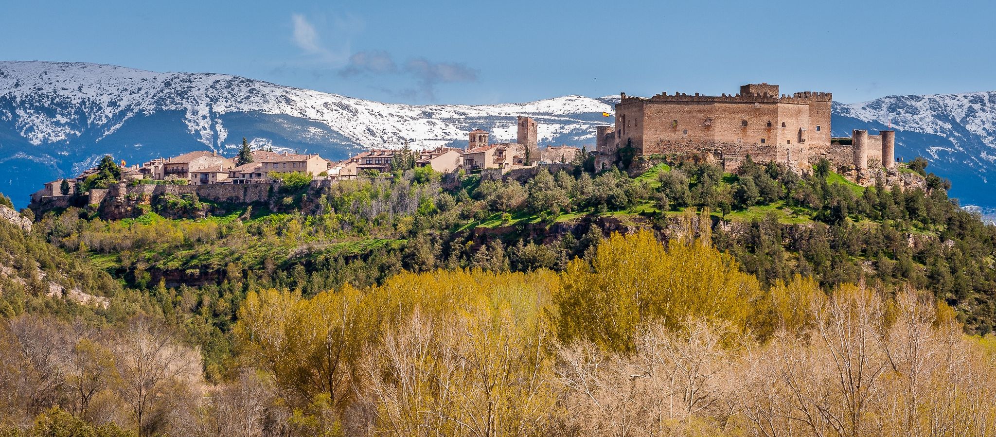
Nature, history and tradition – Segovia Trail (GR 88)

The treasures of Guadarrama – on foot along the GR 10 in Madrid
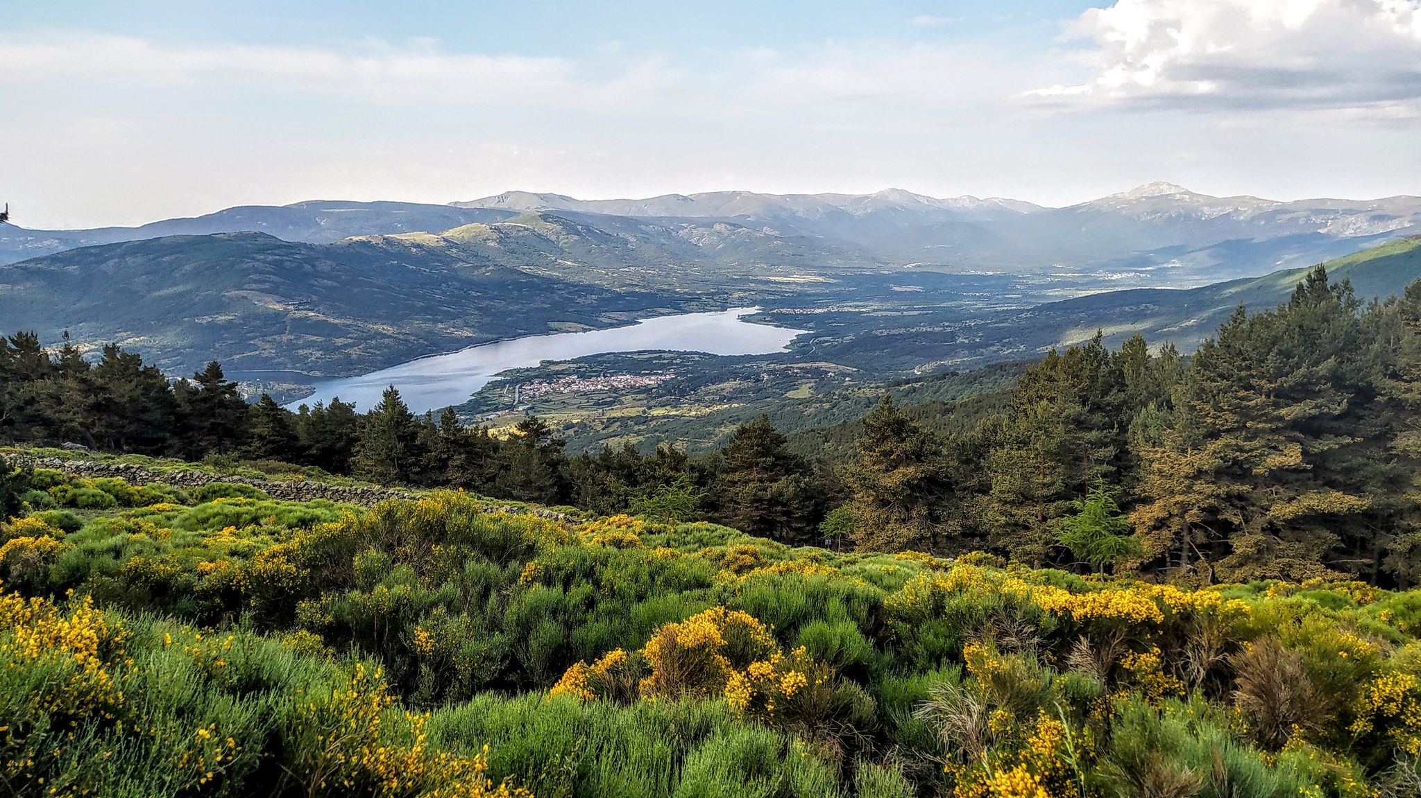
Forests and palaces – Tour of the Sierra de Guadarrama Mountain Range on MTB
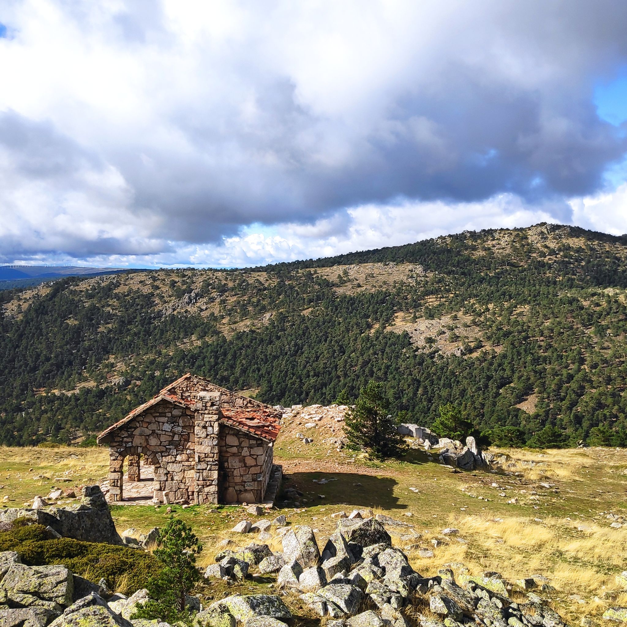
Hiking in Sierra Norte De Guadarrama
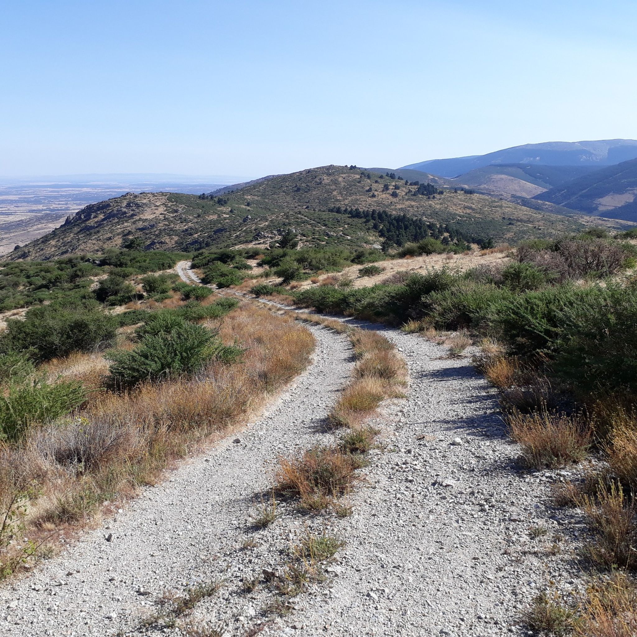
MTB Trails in Sierra Norte De Guadarrama
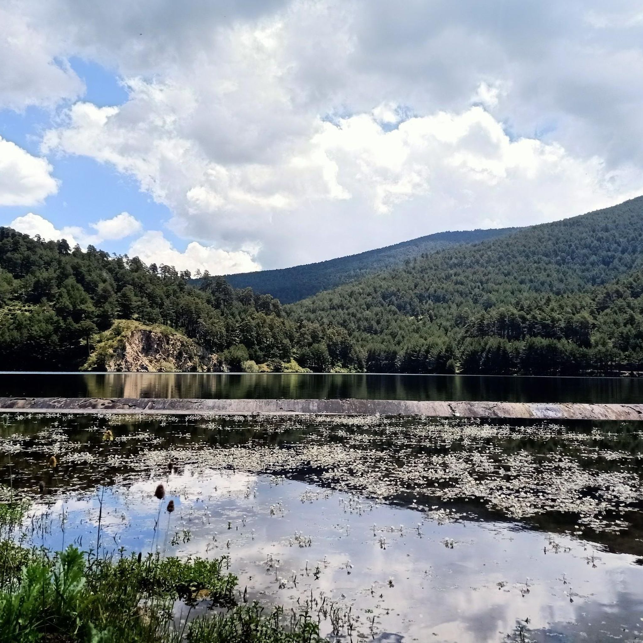
Running Trails in Sierra Norte De Guadarrama
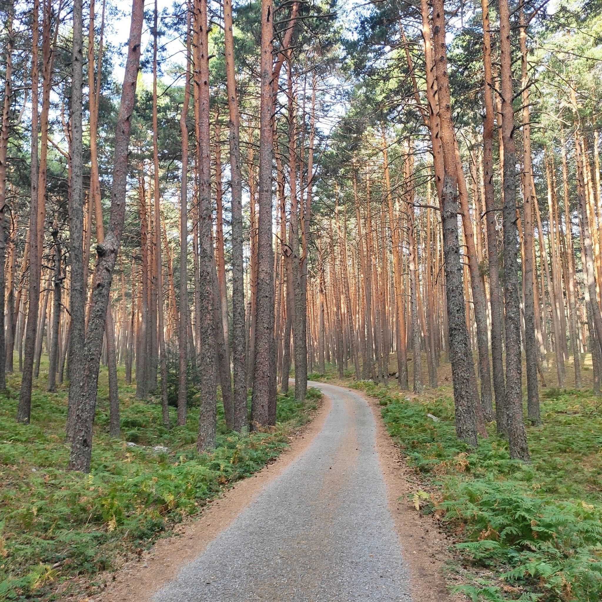
Cycling in Sierra Norte De Guadarrama
Road Cycling Routes in Sierra Norte De Guadarrama
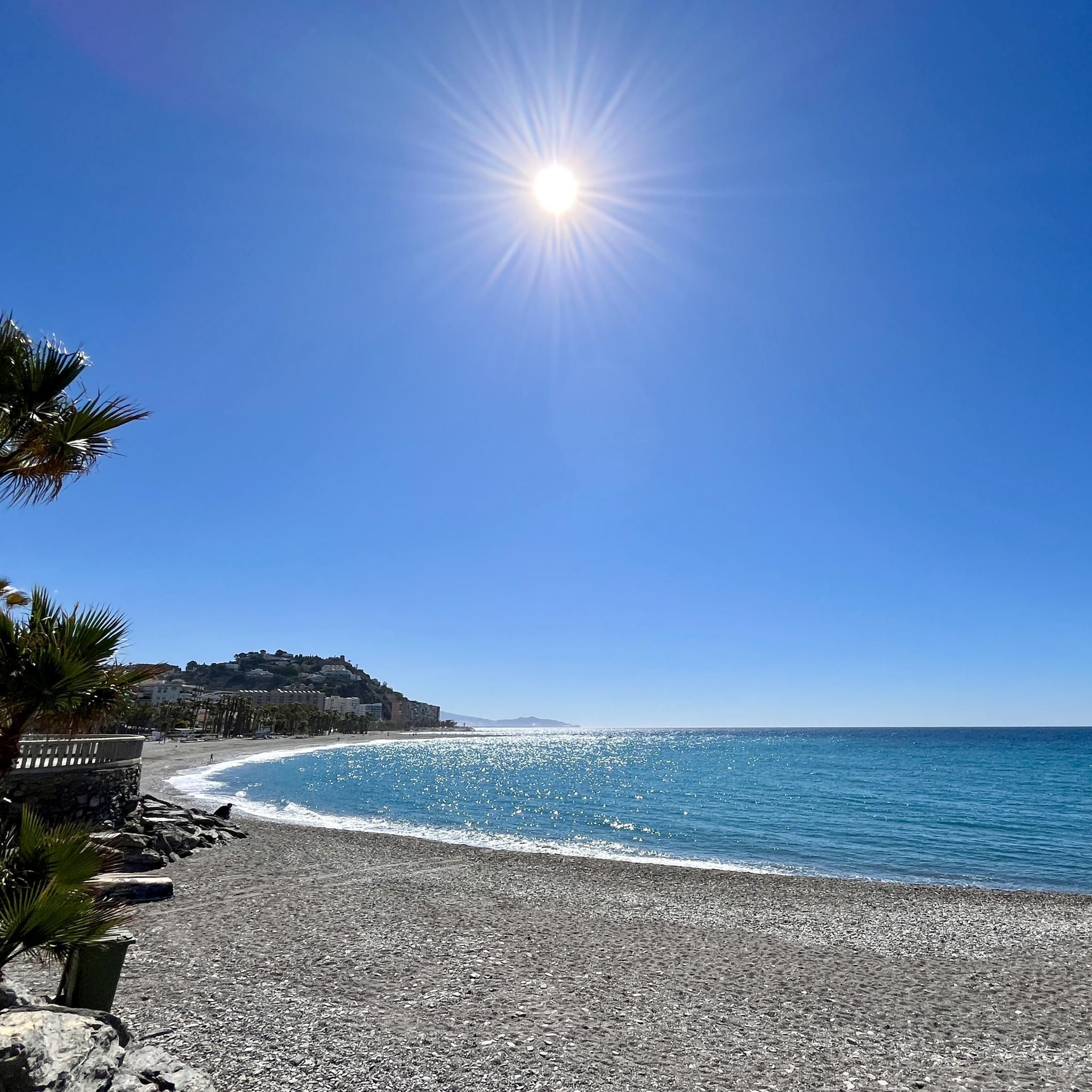
Gravel biking in Sierra Norte De Guadarrama
Other adventures in Sierra Norte De Guadarrama


Tips from the Community

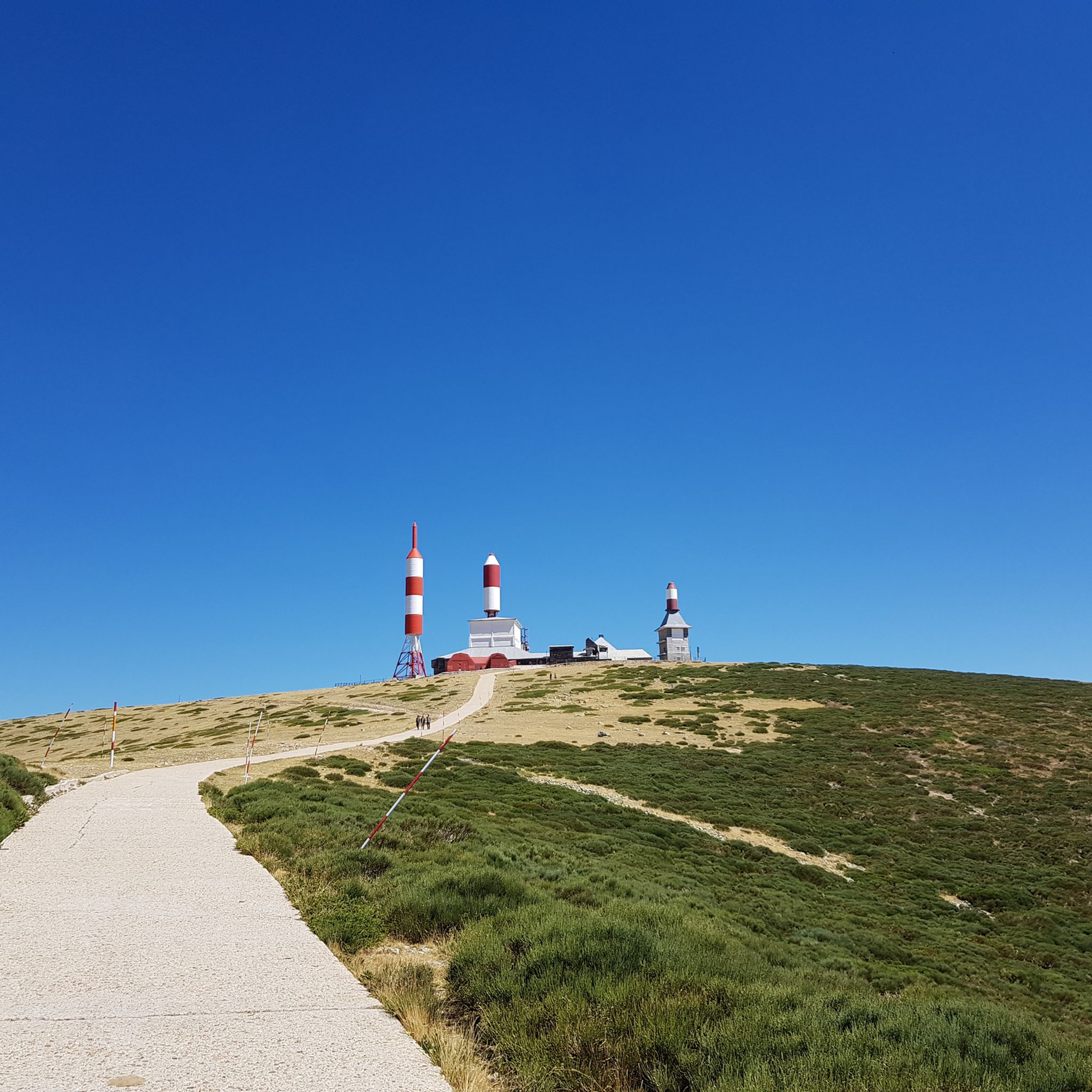
This peak is famous for the television and radio repeater antennas installed on its summit in 1959. It is a popular destination for hiking, with routes starting from Puerto de Navacerrada and Puerto de Cotos. The climb offers spectacular views and is especially beautiful in winter, although it can be challenging due to ice and snow.
5
0

Another port in Los Montes Carpetanos for the passage between the provinces of Madrid and Segovia.
0
0
Cueva Valiente is a mountain located in the Sierra de Guadarrama, part of the Central System. A popular route starts from San Rafael and takes approximately 4 hours in total to reach Cueva Valiente and return. The trail follows a network of paths, some of which can be difficult to follow, so carrying a map or GPS is recommended. The total distance is 11.2 kilometers, with an ascent of 689 meters and an equal descent. The maximum altitude reached is 1903 meters. If you are interested in exploring this beautiful mountain, I encourage you to take the hike! 😊
2
0

From Puerto Linera, at 1834m altitude, you can see part of the Lozoya Valley, the Cabrera mountain range, highlighting the Pico de la Miel, the Riosequillo reservoir, Buitrado and Villavieja. Behind us is the province of Segovia, where we can see, among others, the town of Matabuena. The name "linera" is perhaps due to the large amount of linen that was sold from the Buitrago region to the towns of Pedraza and surrounding areas. The port has a cairn of stones much larger than those that delimit the terms, since, according to tradition, it was customary to throw a stone every time you passed from one side to the other to make it more visible when there was snow, blizzards or fog. , and prevent passers-by from getting lost.
0
0

For being a mythical mountain in cycling like Angliru, Los Lagos de Covadonga and others.
1
0

The landscapes and the air you breathe here are incredible.
1
0

The world at your feet
1
0

An incredible viewpoint from the top of the summit of Cabeza Líjar, right next to the geodesic vertex. On a clear day we can easily recognize the La Jarosa reservoir.
1
1
Frequently Asked Questions
What are some popular mountain peaks and passes in Sierra Norte de Guadarrama?
The region offers several notable spots. Cabeza Líjar Summit is highly appreciated for its incredible panoramic views stretching across both Castilla y León and the Community of Madrid. Another popular destination is Navacerrada Pass, known for its cycling routes and historical significance. Additionally, Alto de las Guarramillas (Bola del Mundo) is famous for its distinctive antennas and offers spectacular views for hikers.
Are there easy or family-friendly mountain trails in Sierra Norte de Guadarrama?
Yes, Sierra Norte de Guadarrama offers options suitable for families and beginners. While some peaks are more challenging, you can find easier trails, especially in lower altitudes or around passes like Navacerrada, which has family-friendly aspects. For dedicated easy hiking routes, explore the Easy hikes in Sierra Norte De Guadarrama guide, which includes routes like the Valsaín Blue Itinerary Loop.
What are the most challenging peaks for experienced hikers in Sierra Norte de Guadarrama?
For those seeking a challenge, Alto de las Guarramillas (Bola del Mundo) is a popular, challenging ascent, especially in winter conditions with ice and snow. The route to Cueva Valiente also presents a challenging hike, with some paths that can be difficult to follow, requiring good navigation skills.
What is the best time of year to hike in Sierra Norte de Guadarrama?
The best time to hike generally depends on the specific peak and your preferences. Spring and autumn offer pleasant temperatures and beautiful scenery. Summer is also popular, though it can be hot at lower elevations. Winter hiking is possible and offers spectacular snowy landscapes, but requires appropriate gear and experience due to potential ice and snow, especially at higher altitudes like Bola del Mundo.
What kind of views can I expect from the mountain peaks in this region?
The mountain peaks and passes in Sierra Norte de Guadarrama are renowned for their expansive views. From Cabeza Líjar Summit, you can see both Castilla y León and the Community of Madrid. Alto de las Guarramillas (Bola del Mundo) also provides spectacular vistas. From Puerto de Linera, you can observe parts of the Lozoya Valley, the Cabrera mountain range, and even the province of Segovia.
Are there cycling routes near the mountain peaks of Sierra Norte de Guadarrama?
Yes, the region is very popular for cycling. Navacerrada Pass is a well-known destination for road cycling, featuring a progressive climb of about 18 kilometers. For more cycling options, you can explore the Cycling in Sierra Norte De Guadarrama guide, which includes routes like the Navacerrada Pass – Monastery of El Paular loop.
What other outdoor activities can I do near the mountain peaks?
Beyond hiking and road cycling, Sierra Norte de Guadarrama is excellent for mountain biking. You can find numerous trails, including challenging ones like the Fuenfría Valley and Marichiva Pass MTB Loop. For more details, check out the MTB Trails in Sierra Norte De Guadarrama guide.
What makes the Sierra Norte de Guadarrama unique in terms of its natural features?
The Sierra Norte de Guadarrama is characterized by its distinctive granite formations, extensive pine forests, and high-altitude plateaus. It forms a natural boundary and offers diverse landscapes, from accessible trails to more demanding ascents, all within the protected Sierra de Guadarrama National Park.
What historical elements can be found around the mountain passes?
The mountain passes in Sierra Norte de Guadarrama often have rich histories. For example, Navacerrada Pass has a history dating back to the 13th century, with an old inn and a former optical telegraph line. Puerto de Linera features a traditional cairn of stones, where passers-by would add a stone to make the path more visible in adverse weather.
What do visitors enjoy most about the mountain peaks in Sierra Norte de Guadarrama?
Visitors frequently highlight the incredible panoramic views, especially from summits like Cabeza Líjar Summit. The diverse terrain for hiking and cycling, the beauty of the natural landscapes, and the sense of accomplishment after reaching a challenging peak like Alto de las Guarramillas (Bola del Mundo) are also highly valued.
Are there any specific tips for hiking to Cueva Valiente?
Hiking to Cueva Valiente typically starts from San Rafael and takes approximately 4 hours for the round trip. The total distance is about 11.2 kilometers with a significant ascent. Some paths can be difficult to follow, so it's highly recommended to carry a map or GPS for navigation.
Most popular routes in Sierra Norte De Guadarrama
Most popular attractions in Sierra Norte De Guadarrama

Get inspired with the komoot mobile app


Explore more
See even more amazing summits in Sierra Norte De Guadarrama with these guides:
