The best walks and hikes in Sierra Norte De Guadarrama
4.5
(1536)
10,766
hikers
362
hikes
Hiking in Sierra Norte De Guadarrama offers diverse landscapes, from rugged mountain peaks to extensive forests and river valleys. The region features prominent summits like Peñalara, reaching 2,428 meters, alongside unique granite formations in La Pedriza. Trails traverse Scots pine and Pyrenean oak forests, high mountain grasslands, and areas with glacial lakes and streams. This varied terrain provides a wide array of hiking opportunities for different experience levels.
Best hiking trails in Sierra Norte De Guadarrama
- The most popular hiking…
Last updated: August 20, 2026
4.7
(151)
892
hikers
9.44km
03:37
350m
350m
The Siete Picos Trail immerses you in a unique mountain landscape, where pine forests give way to a granite ridge dotted with spectacular rock formations. The route invites you to…
4.8
(45)
257
hikers
7.08km
01:53
80m
70m
Enjoy an easy 4.4-mile circular hike along the Rio Eresma from Boca del Asno, perfect for families in Sierra de Guadarrama National Park.

Sign up for free
4.6
(36)
200
hikers
8.45km
03:03
350m
350m
The Cabeza Líjar Trail plunges you into the Sierra de Guadarrama with a hiking experience that blends the natural beauty of pine forests with breathtaking views. From the summit of…
4.4
(24)
94
hikers
10.1km
02:43
140m
140m
This moderate 6.3-mile circular hike from La Granja de San Ildefonso offers historical sites and scenic views of the Eresma River.
4.3
(19)
99
hikers
8.15km
02:30
160m
160m
Hike the difficult Calderas del Río Cambrones Trail, a 5.1-mile route known for its unique river-carved calderas and challenging terrain.
Get access to more routes and recommendations from other explorers.
Sign up for free
Already have an account?
Our route recommendations are based on thousands of hikes, rides, and runs completed by other people on komoot.
Start today with a free account
Your next adventure awaits.
Login or Signup
Popular around Sierra Norte De Guadarrama
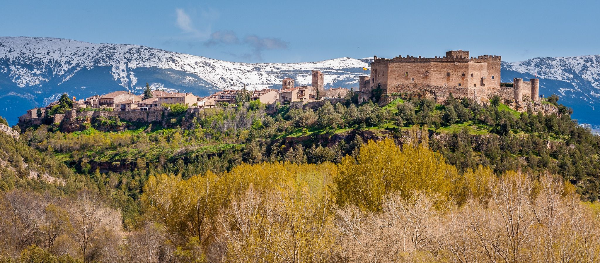
Nature, history and tradition – Segovia Trail (GR 88)

The treasures of Guadarrama – on foot along the GR 10 in Madrid

Height Challenges — Ports in Castilla y León
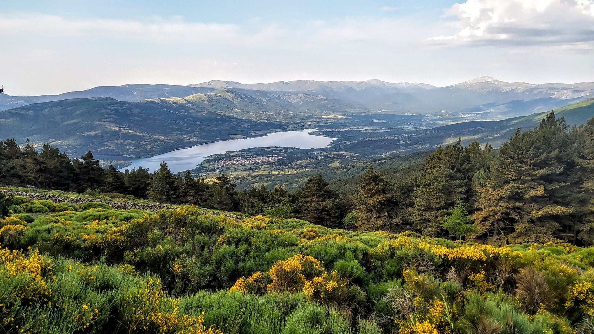
Forests and palaces – Tour of the Sierra de Guadarrama Mountain Range on MTB
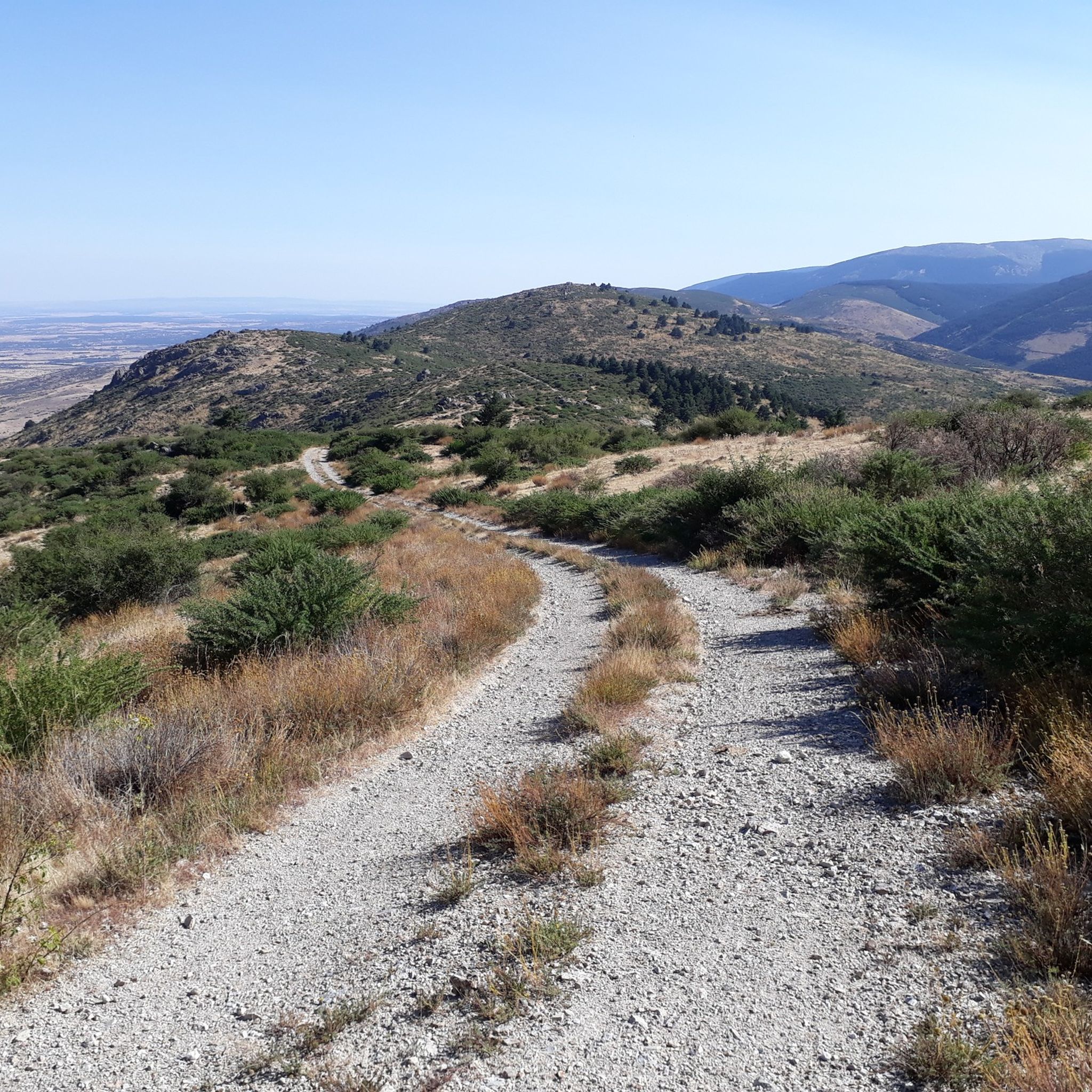
MTB Trails in Sierra Norte De Guadarrama
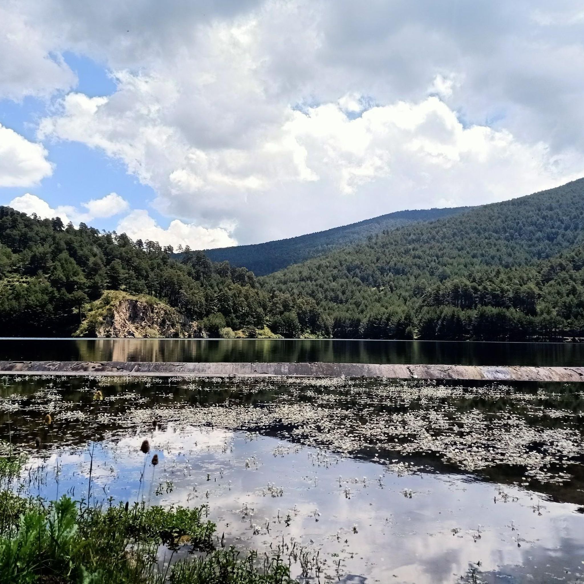
Running Trails in Sierra Norte De Guadarrama
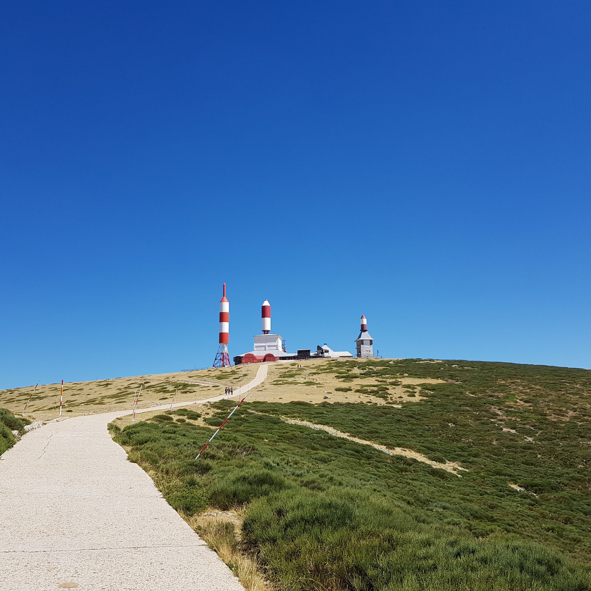
Road Cycling Routes in Sierra Norte De Guadarrama
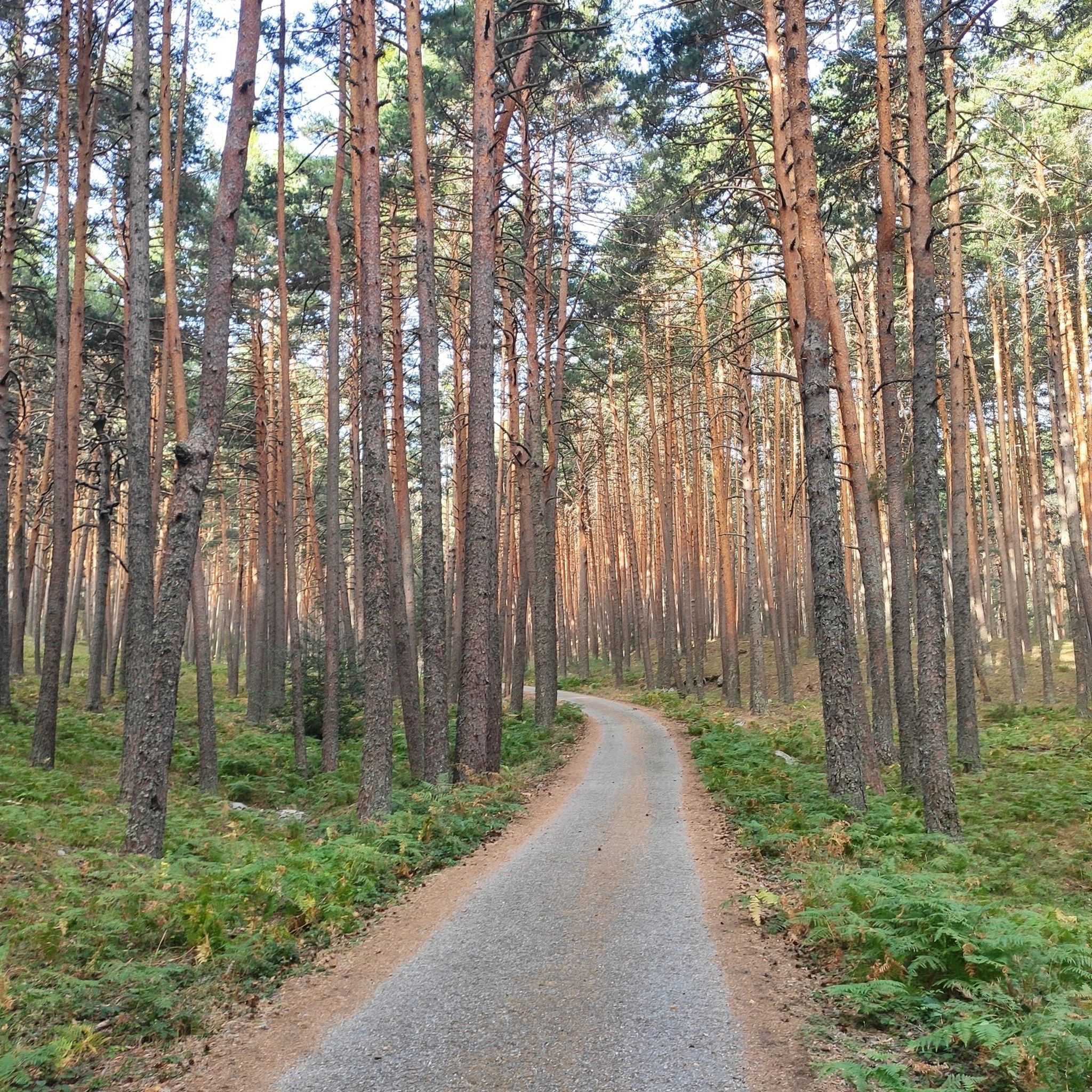
Cycling in Sierra Norte De Guadarrama

Mountain Hikes in Sierra Norte De Guadarrama
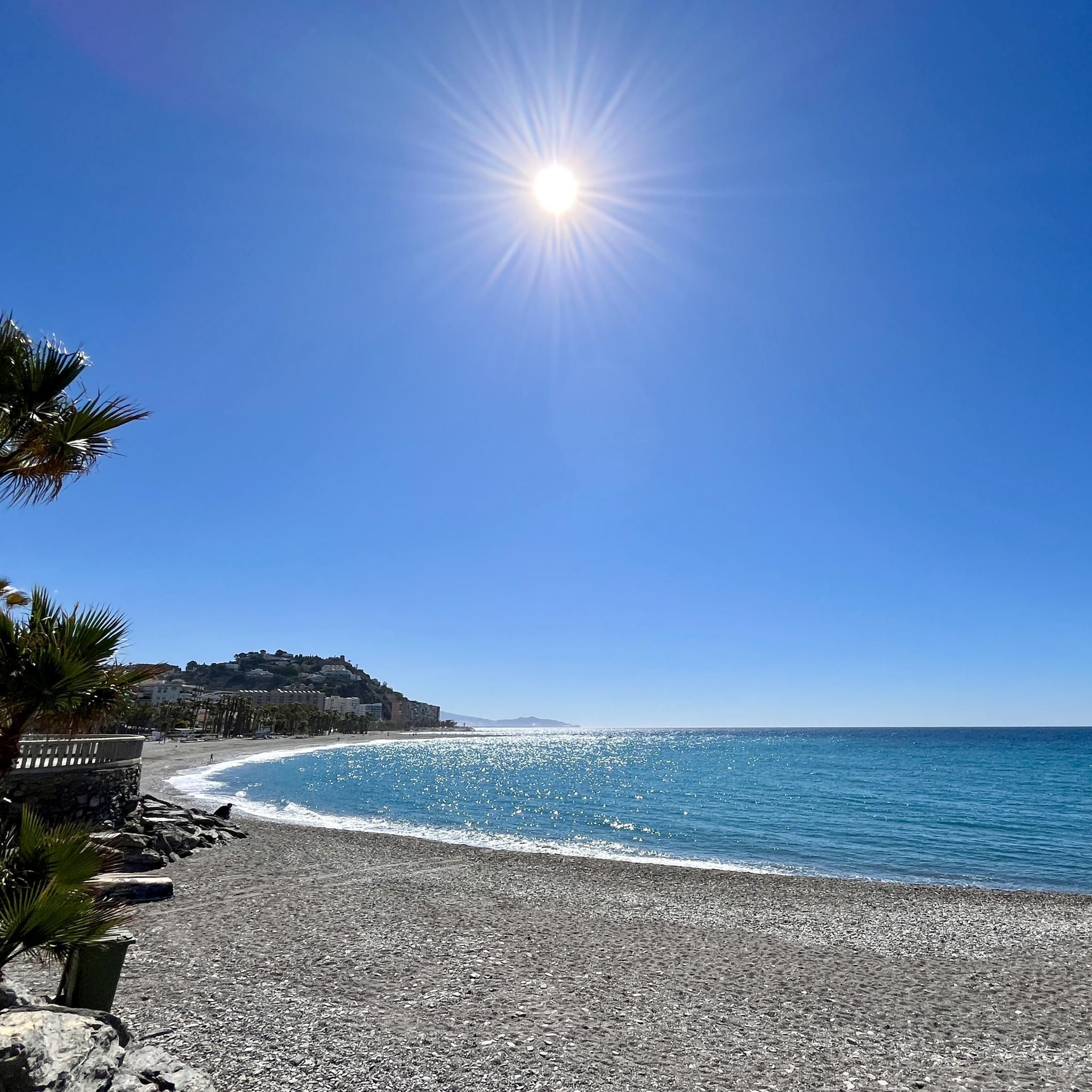
Gravel biking in Sierra Norte De Guadarrama
Other adventures in Sierra Norte De Guadarrama


Tips from the Community

Beautiful trail that leaves Alto del León and descends to the Arcipreste or de los Lomitos path.
0
0

A lonely place to cool off in summer.
0
0
Everything in the Cambrones River is BEAUTIFUL AND WILD
0
0
Another beautiful Caldera of the Cambrones River.
0
0
Beautiful landscape of the Cambrones River, with a difficult path to walk.
0
0

It is rare to see a sculpture of a virgin with skies on her back. Curious to see.
1
0

Don't turn up the volume, noise pollution is also pollution
0
0
If you have a dog, prevent it from destroying the ecosystem
0
1
Frequently Asked Questions
How many hiking trails are available in Sierra Norte De Guadarrama?
Sierra Norte De Guadarrama offers a wide variety of hiking experiences, with over 360 routes available. These range from easy strolls to challenging mountain ascents, catering to all skill levels.
What types of terrain can I expect on the hiking trails in Sierra Norte De Guadarrama?
The region features diverse landscapes, including rugged mountain peaks, extensive Scots pine and Pyrenean oak forests, high mountain grasslands, and areas with glacial lakes and streams. You'll encounter everything from well-maintained paths to more challenging rocky sections, especially at higher elevations.
Are there any easy hikes suitable for families or beginners?
Yes, Sierra Norte De Guadarrama has 48 easy routes. A great option is the Valsaín Blue Itinerary Loop, an easy 4.4-mile (7.1 km) path that follows picturesque routes along the Río Eresma through diverse forests, perfect for a relaxed outing.
What are some notable natural features or landmarks to look out for on the trails?
Hikers can discover several interesting natural features and landmarks. The region is known for its majestic peaks like Peñalara, and unique granite formations in La Pedriza. You might also encounter the Boca del Asno Gorge and Waterfalls, or enjoy panoramic views from Navacerrada Pass or Alto de las Guarramillas (Bola del Mundo).
What is the best time of year to go hiking in Sierra Norte De Guadarrama?
The Sierra Norte De Guadarrama offers year-round hiking opportunities. Spring and autumn provide pleasant temperatures and vibrant scenery. Summer is ideal for shaded trails in valleys like Fuenfría and Lozoya, while higher elevations can be enjoyed. Winter offers opportunities for snowshoeing or skiing, but requires appropriate gear and caution.
Are there any challenging hikes for experienced trekkers?
Absolutely. The region features 108 difficult routes for experienced hikers. The Calderas del Río Cambrones Trail is a challenging 5.1-mile (8.1 km) route that takes you through unique river-carved calderas, offering a rewarding experience for those seeking a more strenuous adventure.
Can I bring my dog on the hiking trails in Sierra Norte De Guadarrama?
Many trails in Sierra Norte De Guadarrama are dog-friendly, but it's always recommended to check specific trail regulations before heading out. Keep your dog on a leash, especially in areas with wildlife or livestock, and ensure you clean up after them to preserve the natural environment.
What do other hikers enjoy most about the trails in Sierra Norte De Guadarrama?
The area is highly rated by the komoot community, with an average score of 4.6 stars from over 1,200 reviews. Hikers often praise the diverse landscapes, from rugged peaks to serene forests, and the well-maintained network of trails that cater to various difficulty levels. The panoramic views and rich biodiversity are frequently highlighted as major attractions.
Are there any historical sites or routes with cultural significance?
Yes, some trails offer a blend of scenic beauty and historical insights. The Cabeza Líjar Trail, for instance, is a 5.3-mile (8.4 km) route leading through historical sites with panoramic views, including old bunkers. Another option is the Trail of the Royal Sites, which combines natural beauty with historical locations near La Granja de San Ildefonso.
Are there circular hiking routes available?
Yes, many trails in Sierra Norte De Guadarrama are designed as circular routes, allowing you to start and end at the same point. The Valsaín Blue Itinerary Loop is a good example of an easy circular path, offering a convenient way to explore the area without retracing your steps.
What kind of wildlife can I expect to see while hiking?
The Sierra de Guadarrama is a biodiversity hotspot. Hikers might spot a diverse range of flora and fauna, including emblematic species like the Iberian imperial eagle, black vulture, and golden eagles. Mammals such as the Iberian ibex, deer, and wild boar are also present, particularly in quieter areas.
Is public transport available to reach trailheads in Sierra Norte De Guadarrama?
Yes, some trailheads are accessible by public transport, especially those near charming villages like Cercedilla, Navacerrada, and La Granja. It's advisable to check local bus or train schedules in advance, as services may vary depending on the season and specific location.
Most popular routes in Sierra Norte De Guadarrama
Most popular attractions in Sierra Norte De Guadarrama

Get inspired with the komoot mobile app


Explore more
Browse the best Hikes in other regions.
