The best running trails in Sierra Norte De Guadarrama
4.6
(7)
1,156
runners
108
runs
Jogging routes in Sierra Norte De Guadarrama traverse a landscape characterized by majestic mountainous terrain, part of the Sistema Central. The region features granitic massifs, ancient glacial formations, and diverse forests of Scots pine and oak. Runners can explore high mountain grasslands, serene valleys, and areas crisscrossed by rivers like the Eresma, offering varied environments for outdoor activity.
Best jogging routes in Sierra Norte De Guadarrama
- The most popular jogging route is Cuerda Larga Trail to La Maliciosa, a 7.9 miles (12.7 km) trail that takes 2 hours 4 minutes to complete. This difficult route offers significant elevation gain and panoramic views.
- Another top favourite among local runners is Ribera del Río Eresma por el Puente de los Canales — circular por el Parque Nacional de la Sierra de Guadarrama, a moderate 4.8 miles (7.7 km) path. This route follows the scenic Eresma river, offering a relatively flat and accessible running experience.
- Local runners also love the Royal Sites Trail, a 2.8 miles (4.5 km) trail leading through historical areas, often completed in about 32 minutes.
- Jogging in Sierra Norte De Guadarrama is defined by granitic massifs, extensive Scots pine forests, and high mountain grasslands. The network offers options for different ability levels, from easy paths to challenging mountain trails.
- The routes in Sierra Norte De Guadarrama are highly rated by the komoot community with an average score of 4.25 stars from over 8 reviews. More than 1000 runners have used komoot to explore Sierra Norte De Guadarrama's varied terrain.
Last updated: July 7, 2026
5.0
(1)
129
runners
12.7km
02:04
680m
680m
This difficult 7.9-mile (12.7 km) jogging route from Puerto de Navacerrada summits Alto de Guarramillas (Bola del Mundo) and La Maliciosa.
29
runners
Moderate run. Good fitness required. Mostly paved surfaces. Suitable for all skill levels.

Sign up for free
3
runners
30.5km
04:33
1,160m
1,160m
A difficult 19.0-mile jogging route in Sierra de Guadarrama National Park, featuring the "La Mujer Muerta" silhouette and technical terrain.
1
runners
Hard run. Very good fitness required. Sure-footedness, sturdy shoes and alpine experience required.
4.47km
00:32
60m
60m
This easy 2.8-mile circular jogging route from Valsaín follows the Río Eresma past the historic Puente del Anzolero, offering scenic views.
Get access to more routes and recommendations from other explorers.
Sign up for free
Already have an account?
Our route recommendations are based on thousands of hikes, rides, and runs completed by other people on komoot.
Start today with a free account
Your next adventure awaits.
Login or Signup
Popular around Sierra Norte De Guadarrama

Height Challenges — Ports in Castilla y León
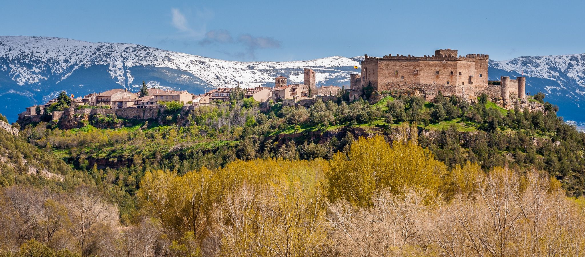
Nature, history and tradition – Segovia Trail (GR 88)

The treasures of Guadarrama – on foot along the GR 10 in Madrid
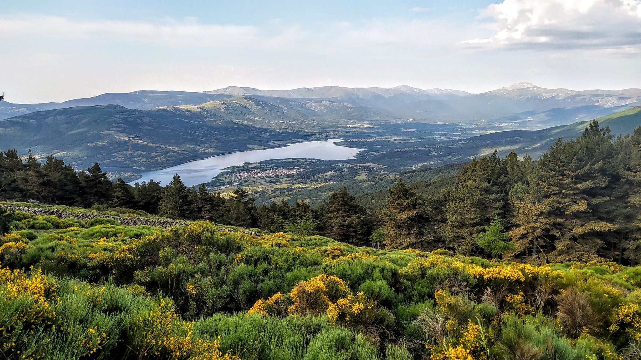
Forests and palaces – Tour of the Sierra de Guadarrama Mountain Range on MTB
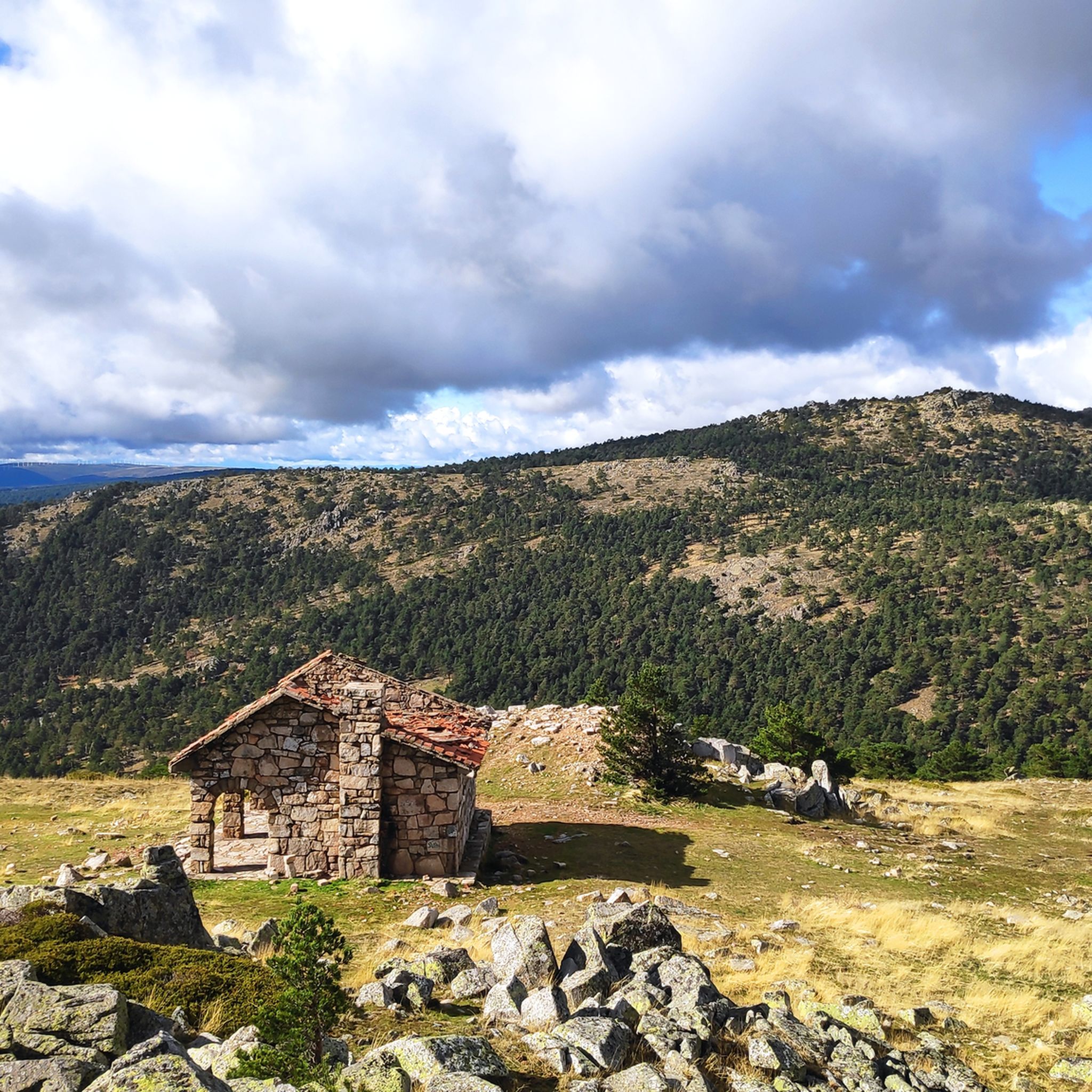
Hiking in Sierra Norte De Guadarrama
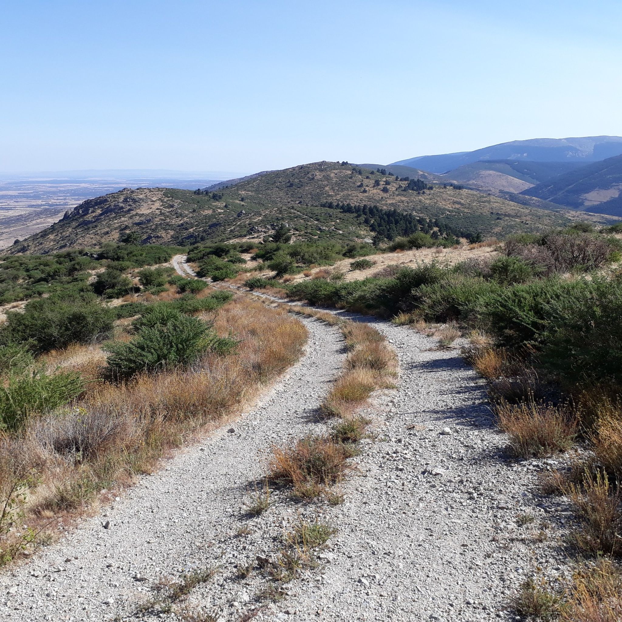
MTB Trails in Sierra Norte De Guadarrama
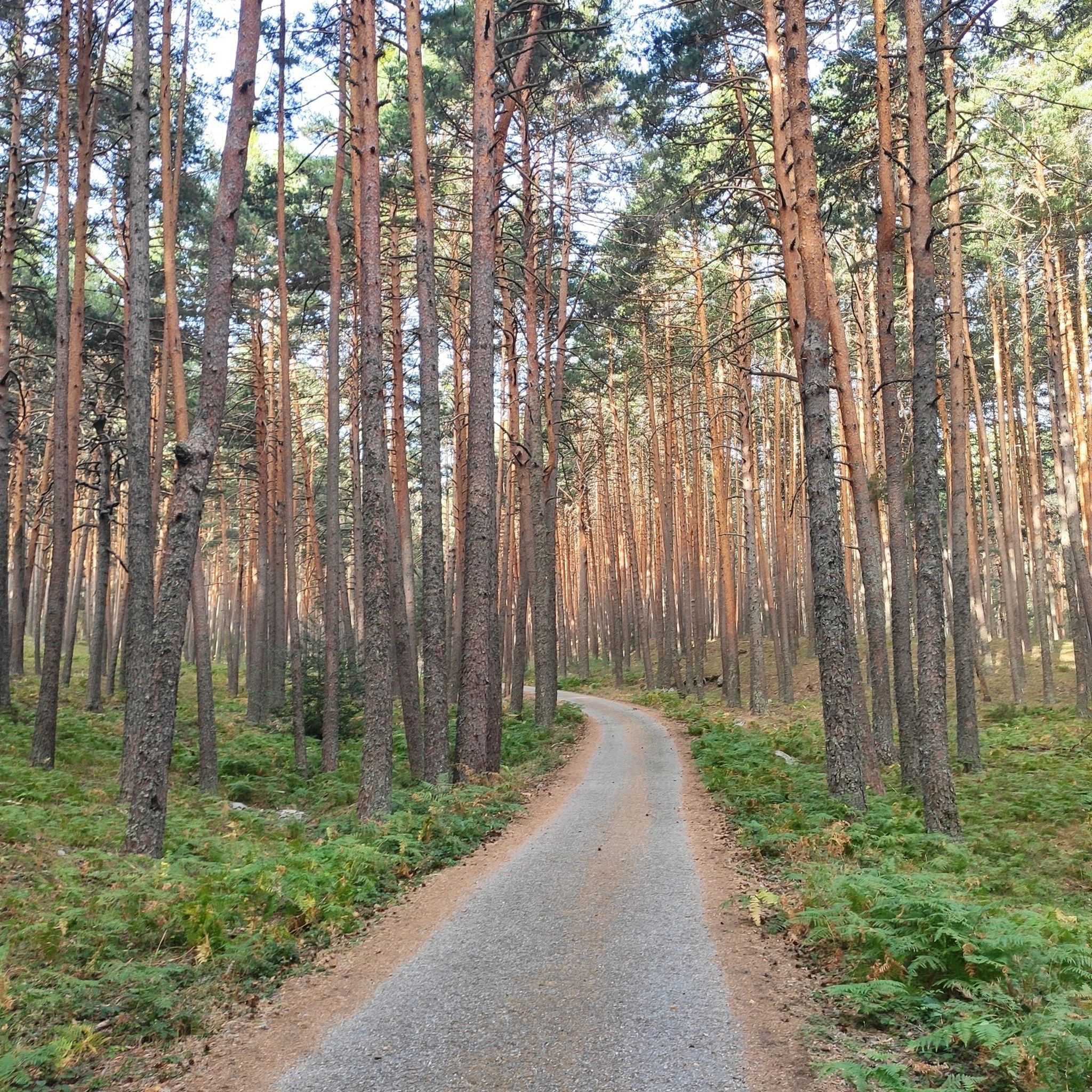
Cycling in Sierra Norte De Guadarrama
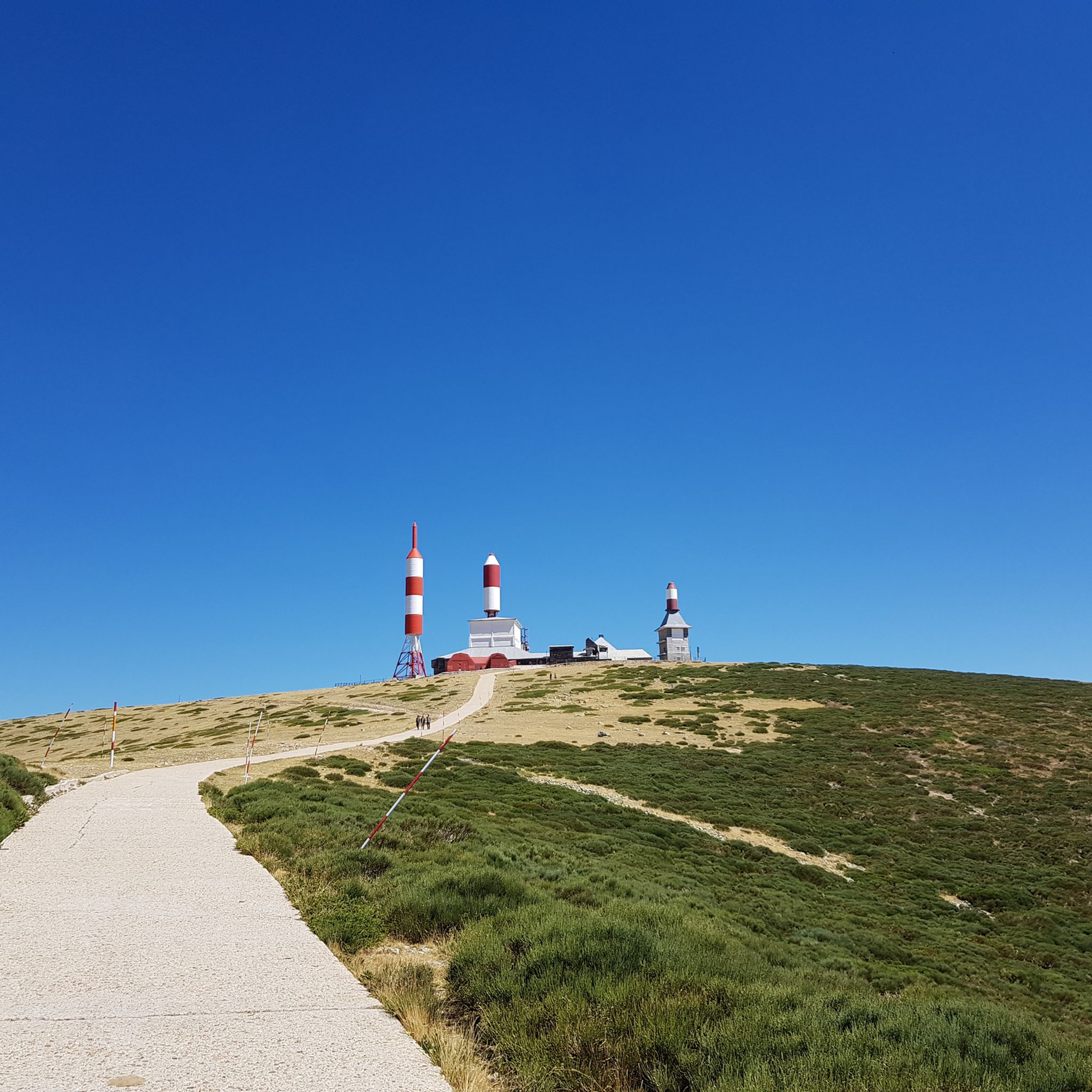
Road Cycling Routes in Sierra Norte De Guadarrama
Gravel biking in Sierra Norte De Guadarrama

Mountain Hikes in Sierra Norte De Guadarrama
Other adventures in Sierra Norte De Guadarrama


Tips from the Community

Strategic point from which excellent landscapes can be seen in the surrounding area.
0
0
High and difficult peak in the Sierra de Madrid, especially with clouds and winds.
0
0

This mountain lies between La Pedriza and the Barranca valley, offering spectacular views and challenging hiking routes. One of the most popular routes to ascend La Maliciosa begins in the Barranca valley. This circular route passes through the Piornal pass and offers a combination of wooded and rugged landscapes, with a significant cumulative gradient. The climb can be demanding, especially in winter, when snow and ice add difficulty to the route.
8
0
This peak is famous for the television and radio repeater antennas installed on its summit in 1959. It is a popular destination for hiking, with routes starting from Puerto de Navacerrada and Puerto de Cotos. The climb offers spectacular views and is especially beautiful in winter, although it can be challenging due to ice and snow.
5
0

If you have a dog, prevent it from destroying the ecosystem
0
1

One of the most emblematic and climbed peaks in the community of Madrid.
1
0
The Bridge of the Canals is a fascinating place in the Royal Site of San Ildefonso. This bridge, built in the 16th century, consists of a single arch and is made of granite ashlar stone. Columns rise above it that support a wooden channel. Guess what that channel was for? To bring water to the Royal Palace of Valsaín and also for irrigation of the El Parque estate! 😊 You can still see the sculpted shield of the Casa de los Asturias with the double-headed eagle on the bridge. It is a place that is reminiscent of the Segovia Aqueduct due to its worn granite pillars. Although it is actually an aqueduct, since it carries water, the similarity with “La Puente Seca” in Segovia ends here 🌞
2
0
Frequently Asked Questions
How many running routes are available in Sierra Norte De Guadarrama?
Sierra Norte De Guadarrama offers a wide selection of running routes, with over 115 trails documented on komoot. These routes cater to various preferences, from easy jogs to challenging mountain runs.
Are there easy jogging routes suitable for beginners or casual runners?
Yes, the region provides several easy jogging routes. For instance, the Royal Sites Trail is an easy 2.8-mile (4.5 km) path that takes about 32 minutes to complete, leading through historical areas. Another accessible option is the Ribera del Río Eresma por el Puente de los Canales, a moderate 4.8-mile (7.7 km) circular route following the scenic Eresma river, known for its relatively flat terrain.
What kind of terrain can I expect on the running trails in Sierra Norte De Guadarrama?
The terrain is incredibly diverse, ranging from granitic massifs and ancient glacial formations to extensive Scots pine and oak forests. You'll find high mountain grasslands, serene valleys, and areas crisscrossed by rivers like the Eresma. Some routes, like those in La Pedriza, feature unique granite rock formations, while others follow historical paths such as the Roman Road of Puerto de la Fuenfría.
Are there challenging trail running options for experienced runners?
Absolutely. Sierra Norte De Guadarrama is well-known for its challenging routes with significant elevation gains. The Cuerda Larga Trail to La Maliciosa is a difficult 7.9-mile (12.7 km) route with substantial elevation, offering panoramic views. Another demanding option is the La Mujer Muerta Circular Trail, a long and difficult 19-mile (30.5 km) run with over 1,100 meters of ascent.
Can I find circular running routes in the Sierra Norte De Guadarrama?
Yes, many routes in the region are circular, allowing you to start and end at the same point. An example is the Ascent to La Peñota via La Esfinge, a challenging 8.8-mile (14.2 km) circular route through the Sierra de Guadarrama National Park, offering stunning views.
What natural attractions or landmarks can I see while running in the area?
The region is rich in natural beauty. You can encounter glacial lagoons like Laguna Grande de Peñalara, diverse forests, and rivers. Notable highlights include the Boca del Asno Gorge and Waterfalls, the impressive Chorro Grande Waterfall, and various mountain peaks such as Cabeza Líjar Summit. The unique granite formations of La Pedriza also offer spectacular scenery.
Is Sierra Norte De Guadarrama suitable for family-friendly jogging or walks?
Yes, the region offers trails suitable for families. Many easy paths traverse pine forests and meadows, providing a pleasant environment for all ages. The Fuenfría Valley, with its shaded pine forest trails, is particularly good for leisurely activities.
What do other runners say about the jogging routes in Sierra Norte De Guadarrama?
The running routes in Sierra Norte De Guadarrama are highly rated by the komoot community, with an average score of 4.25 stars from over 8 reviews. Runners often praise the diverse landscapes, from challenging mountain trails with panoramic views to serene paths along rivers and through forests.
Are there any waterfalls along the running trails?
Yes, the area is crisscrossed by rivers and features natural elements such as streams and seasonal waterfalls. You can find highlights like the Chorro Grande Waterfall and the Chorranca Waterfall, which can be incorporated into or viewed from various routes.
What kind of wildlife might I encounter while running?
The Sierra de Guadarrama National Park is an ecological treasure. Joggers might spot Iberian ibex, deer, and wild boar. The skies are home to various birds of prey, including the Spanish imperial eagle and black vulture, making for an enriching outdoor experience.
When is the best time of year to go jogging in Sierra Norte De Guadarrama?
The region offers great running opportunities year-round, but the best time depends on your preference. Spring and autumn provide pleasant temperatures and vibrant scenery. Summer mornings are ideal for shaded forest trails, while winter can offer unique experiences on snow-covered paths, especially at higher elevations, though some routes may require specific gear.
Are there options for parking or public transport access to the trails?
The charming villages surrounding the natural areas, such as Cercedilla, Navacerrada, and La Granja, often serve as convenient bases for outdoor adventurers. Many trailheads are accessible by car with designated parking areas, and some villages have public transport links, making it easier to reach various starting points.
Most popular routes in Sierra Norte De Guadarrama
Most popular attractions in Sierra Norte De Guadarrama

Get inspired with the komoot mobile app


Explore more
Browse the best Running Trails & Routes in other regions.
