The best cycling routes in Sierra Norte De Guadarrama
4.8
(15)
659
riders
75
rides
Touring cycling in Sierra Norte de Guadarrama features a mountainous terrain with granitic peaks and diverse ecosystems. The region includes dense coniferous and Pyrenean oak forests, along with glacial cirques and lagoons such as Peñalara Lagoon. Rivers originate in these mountains, contributing to a landscape with streams and seasonal waterfalls. This area offers varied elevation gains and landscapes suitable for different cycling preferences.
Best touring cycling routes in Sierra Norte De Guadarrama
- The most popular touring cycling route is Navacerrada…
Last updated: July 8, 2026
28
riders
46.7km
04:01
850m
850m
Hard bike ride. Very good fitness required. Mostly paved surfaces. Suitable for all skill levels.
2
riders
27.7km
01:52
360m
360m
Moderate bike ride. Good fitness required. Mostly paved surfaces. Suitable for all skill levels.

Sign up for free
94
riders
Hard bike ride. Very good fitness required. You may need to push your bike for some segments of this route.
40
riders
49.8km
03:47
1,300m
1,300m
Hard bike ride. Very good fitness required. Mostly paved surfaces. Suitable for all skill levels.
4.0
(2)
35
riders
Hard bike ride. Very good fitness required. Mostly paved surfaces. Suitable for all skill levels.
Get access to more routes and recommendations from other explorers.
Sign up for free
Already have an account?
Our route recommendations are based on thousands of hikes, rides, and runs completed by other people on komoot.
Start today with a free account
Your next adventure awaits.
Login or Signup
Popular around Sierra Norte De Guadarrama

Height Challenges — Ports in Castilla y León
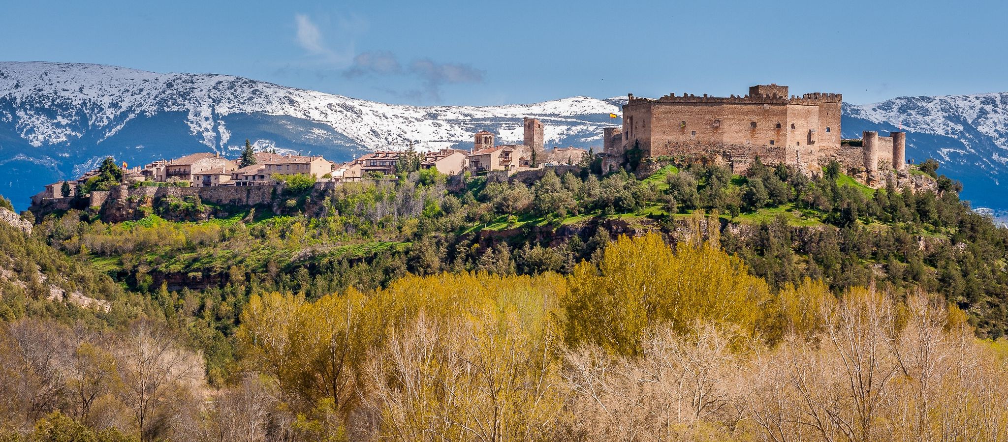
Nature, history and tradition – Segovia Trail (GR 88)

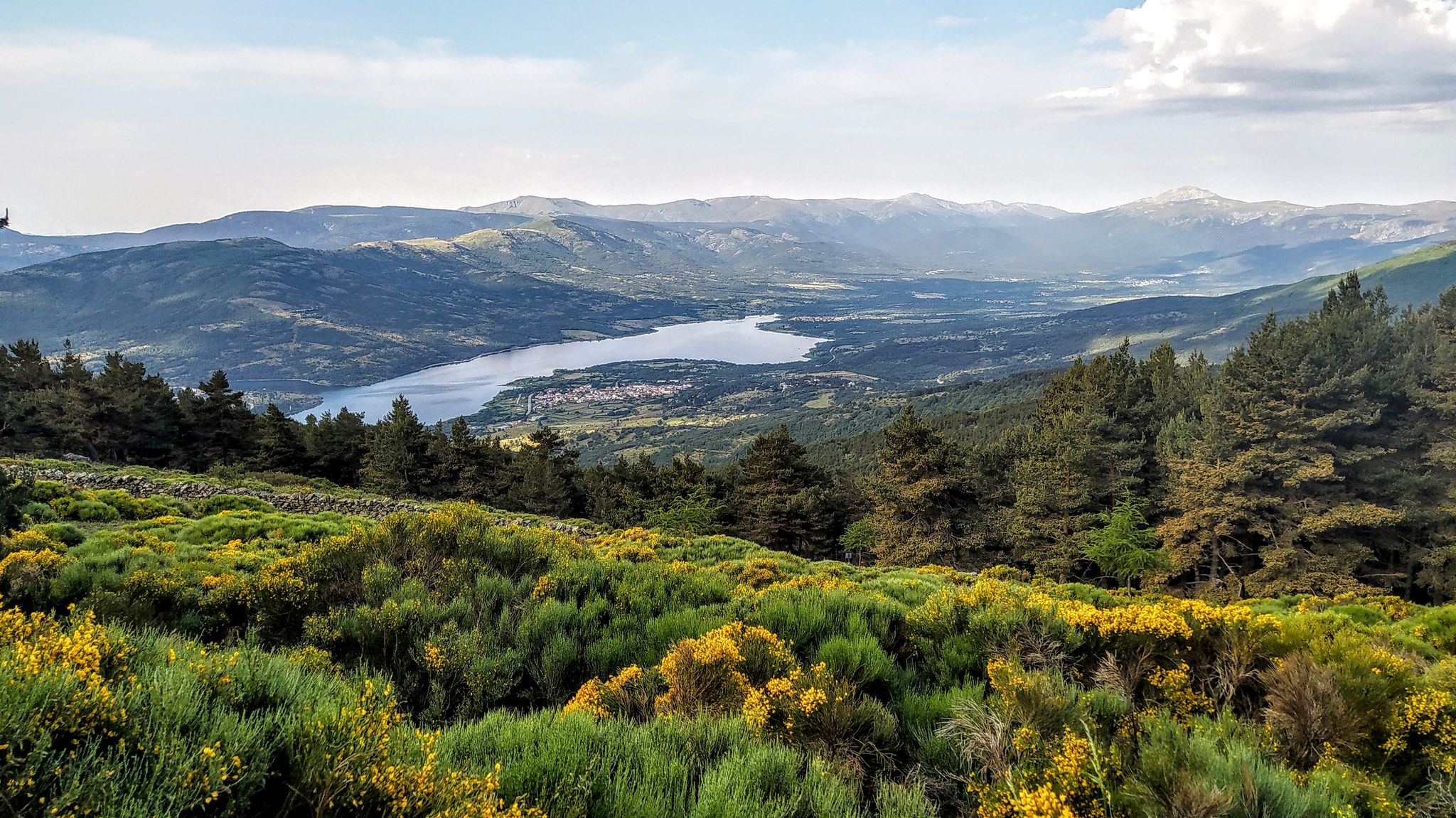
The treasures of Guadarrama – on foot along the GR 10 in Madrid
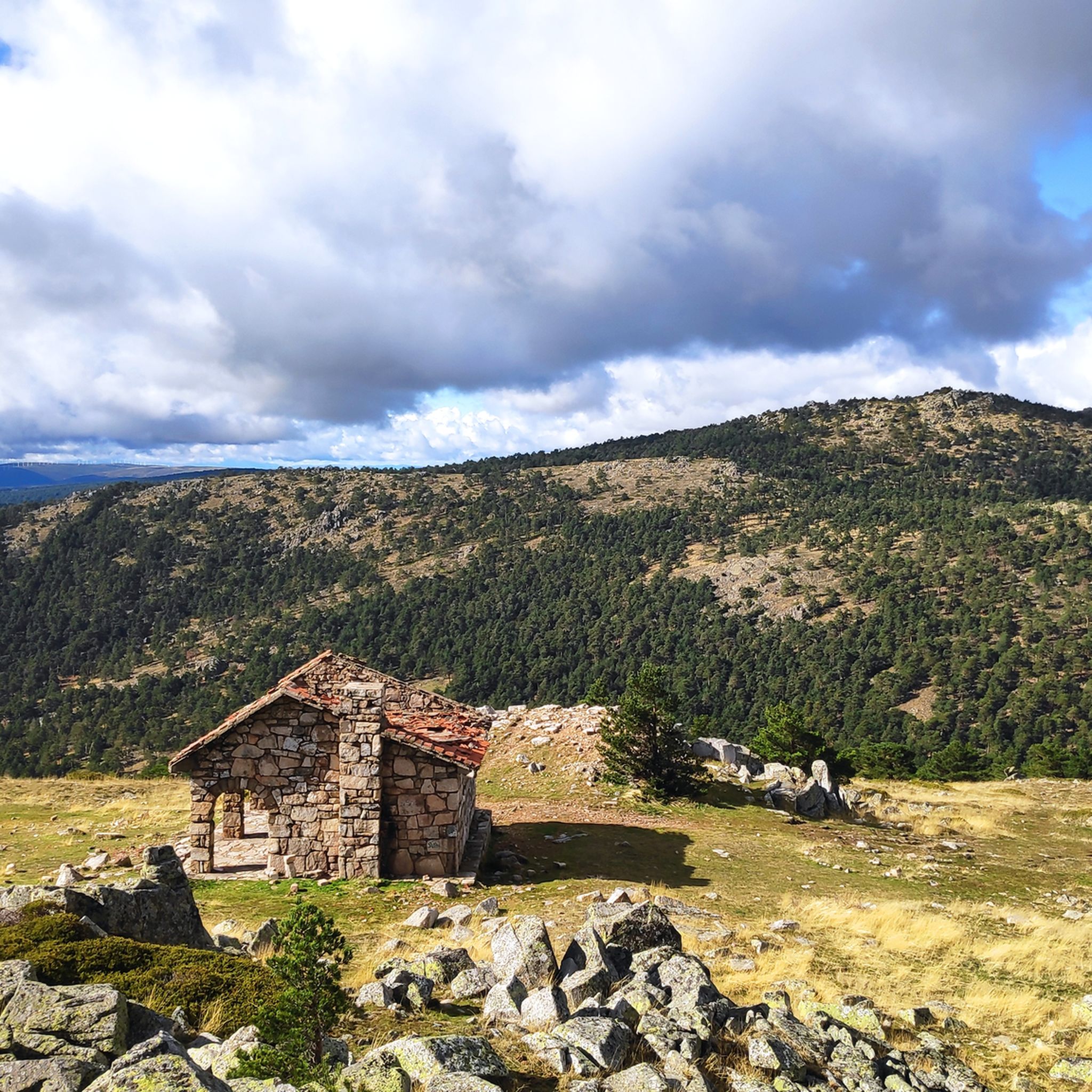
Forests and palaces – Tour of the Sierra de Guadarrama Mountain Range on MTB
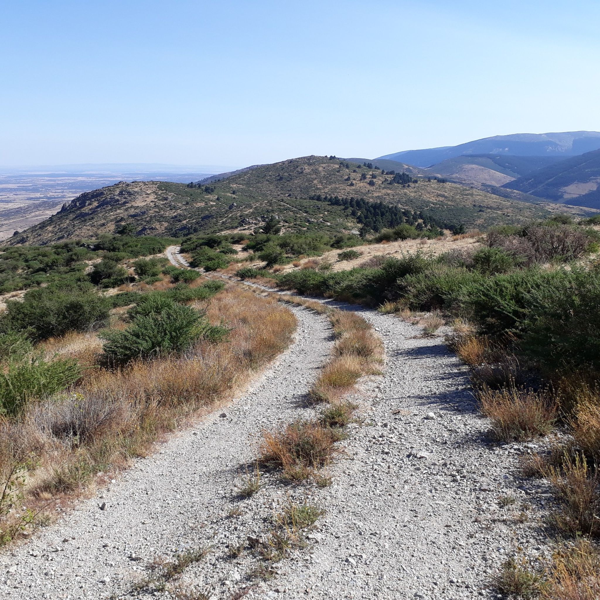
Hiking in Sierra Norte De Guadarrama
MTB Trails in Sierra Norte De Guadarrama
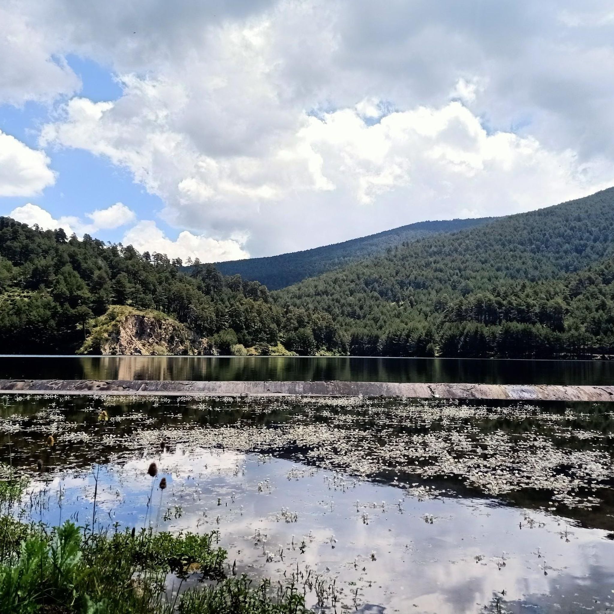
Running Trails in Sierra Norte De Guadarrama
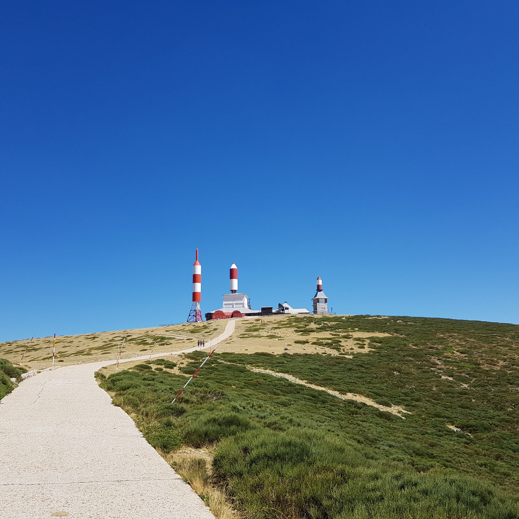
Road Cycling Routes in Sierra Norte De Guadarrama
Gravel biking in Sierra Norte De Guadarrama

Mountain Hikes in Sierra Norte De Guadarrama
Other adventures in Sierra Norte De Guadarrama


Tips from the Community

Watch out for the asphalt on the descent, there are potholes and the surface is quite uneven. You won't even notice it on the climb.
0
0

Recreation area near Valsaín, on the banks of the Eresma River. Starting point for mountain routes.
0
0

Poetry with the best views of the sierra Climbing up to the Mirador de Vicente Aleixandre is, for me, one of the most inspiring experiences in Cercedilla. It's not just the hike through the Valle de la Fuenfría, which is beautiful, but the moment you reach that rock and read its sculpted verses while contemplating Siete Picos. You breathe in an incredible peace. It's the perfect place to stop, sit down to rest, and feel part of the landscape that the poet loved so much.
0
0

Exceptional water, which even people from the village come to collect.
0
0
Good, fresh water
0
0
The Vicente Aleixandre viewpoint, or Poets' Viewpoint, offers an unbeatable view of the entire mountain range. Cercedilla lies at our feet, the Bola del Mundo peak rises above, and some verses are engraved on the rock to commemorate the recitals that were once held there.
1
0
Fountain with fresh, good water. A must-stop before starting the Fuefría route.
0
0

It's a classic climb in the Vuelta a España and in cyclotourism events like the Perico Delgado ride. The switchbacks section is very demanding: The first 4 km are gentle (2-3%). From the Puente de la Cantina (Cantina Bridge), ramps of 6-7% begin. Between km 6 and 8 are the five tightest bends, almost linked together, in a wooded area. The final kilometer has a steep ramp before reaching the summit.
1
0
Frequently Asked Questions
How many touring cycling routes are available in Sierra Norte de Guadarrama?
There are over 80 touring cycling routes available in Sierra Norte de Guadarrama, catering to various skill levels. You'll find options ranging from easy to difficult, with 30 moderate and 56 difficult routes.
Are there touring cycling routes suitable for beginners or families in Sierra Norte de Guadarrama?
Yes, while many routes are moderate to difficult, there are a few easier options. For a moderate ride that offers a mix of open landscapes and forested sections around historic villages, consider the Ermita de la Virgen de las Vegas y Navafría — circular desde Pedraza. This 17.2-mile (27.7 km) path is a good choice for those looking for a less strenuous experience.
What kind of terrain can I expect on touring cycling routes in Sierra Norte de Guadarrama?
The Sierra Norte de Guadarrama is characterized by its dramatic mountainous terrain with granitic peaks. You'll encounter diverse ecosystems, including dense coniferous and Pyrenean oak forests, as well as glacial cirques and lagoons. Routes often feature significant elevation changes, winding through quiet roads and charming villages, offering a constant visual spectacle.
Are there any circular touring cycling routes in the Sierra Norte de Guadarrama region?
Yes, many touring cycling routes in the region are circular. For example, the La Garganta del río Moros — circular de La Estación de El Espinar is a 29.0-mile (46.7 km) loop that takes you through river gorges and forested areas. Another option is the Fuente de la Reina – Cruz de la Gallega loop from La Pradera de Navalhorno, a challenging 38.8 km route.
What natural attractions or landmarks can I see along the touring cycling routes?
The region is rich in natural beauty and historical sites. You can encounter impressive natural monuments like Fuente de la Reina or explore the Boca del Asno Gorge and Waterfalls. Other notable features include the Alto de las Guarramillas (Bola del Mundo) summit and various mountain passes like Puerto de Linera. The landscape is also dotted with streams and seasonal waterfalls, such as the Chorro Grande Waterfall.
What is the best time of year for touring cycling in Sierra Norte de Guadarrama?
The Sierra Norte de Guadarrama offers beautiful scenery year-round, with flora changing beautifully with the seasons. Spring and autumn generally provide the most pleasant temperatures for cycling, with vibrant colors and comfortable conditions. Summer can be warm, especially at lower elevations, while winter cycling is possible but requires preparation for colder temperatures and potential snow at higher altitudes.
Is it possible to cycle in Sierra Norte de Guadarrama during winter?
Yes, winter cycling is possible, but conditions can be challenging, especially at higher elevations where snow and ice may be present. The region's mountainous terrain means temperatures can drop significantly. It's advisable to check weather forecasts, be prepared for cold weather, and consider routes at lower altitudes or those known to be cleared.
How can I access the touring cycling routes in Sierra Norte de Guadarrama using public transport?
The Sierra de Guadarrama National Park is accessible by public transport from Madrid, with bus and train services reaching various towns and villages within or near the cycling routes. For specific routes, check local bus schedules (e.g., from Moncloa or Plaza de Castilla interchanges in Madrid) or regional train lines that serve towns like Cercedilla or Los Molinos, which can be starting points for many tours. It's recommended to verify if bikes are permitted on the specific public transport lines you plan to use.
Are there parking facilities available near the touring cycling routes?
Yes, many towns and villages that serve as starting points for touring cycling routes in Sierra Norte de Guadarrama offer parking facilities. Popular access points like La Pradera de Navalhorno, La Granja, or El Espinar typically have designated parking areas. It's always a good idea to arrive early, especially on weekends, as parking can fill up quickly in popular spots.
Are there any challenging touring cycling routes for experienced cyclists?
Absolutely. The Sierra Norte de Guadarrama is known for its challenging mountain passes, frequently featured in the Vuelta a España. Routes like the Navacerrada Pass – Las Presillas Natural Pools loop from La Pradera de Navalhorno, a 44.0-mile (70.8 km) trail with significant elevation changes, are designed for experienced cyclists. Another demanding option is the Cruz de la Gallega – Fuente de la Reina loop from La Granja, covering 56.2 km with over 1200m of ascent.
What do other cyclists say about their experience touring cycling in Sierra Norte de Guadarrama?
The touring cycling routes in Sierra Norte de Guadarrama are highly rated by the komoot community, with an average score of 4.78 stars from over 13 reviews. Cyclists often praise the varied terrain, from granitic peaks to dense forests and river valleys, and the impressive landscapes. The region offers a wide array of routes suitable for different ability levels, making it a popular choice for many.
Are there places to eat or stay near the touring cycling routes?
Yes, the Sierra Norte de Guadarrama region features picturesque villages and historic towns like Buitrago de Lozoya and Rascafría, which offer various amenities. You'll find cafes, restaurants, and pubs where you can refuel, as well as accommodation options ranging from hotels to rural guesthouses, catering to cyclists looking to extend their stay.
Do I need any special permits to cycle in Sierra Norte de Guadarrama?
Generally, no special permits are required for touring cycling on established routes and public roads within the Sierra Norte de Guadarrama. However, if you plan to cycle in specific protected areas or off-road trails within the Sierra de Guadarrama National Park, it's always advisable to check the park's official regulations for any restrictions or permit requirements, especially for certain zones or during specific seasons. For more information, you can consult the official park website: Sierra de Guadarrama National Park.
Most popular routes in Sierra Norte De Guadarrama
Most popular attractions in Sierra Norte De Guadarrama

Get inspired with the komoot mobile app


Explore more
Browse the best Cycling routes in other regions.
