The best walks and hikes in Loch Lomond And The Trossachs
4.4
(9220)
66,089
hikers
667
hikes
Hiking in Loch Lomond And The Trossachs offers a diverse landscape where the Scottish Lowlands meet the Highlands. The region is characterized by numerous lochs, including Loch Lomond, and features a mountainous terrain with 21 Munros and 20 Corbetts. Extensive woodlands, such as the Great Trossachs Forest, and significant geological features like the Highland Boundary Fault, contribute to varied hiking environments.
Best hiking trails in Loch Lomond And The Trossachs
- The most popular hiking route is Conic Hill – UK…
Last updated: October 10, 2026
4.7
(520)
4,459
hikers
4.88km
01:49
310m
320m
Moderate hike. Good fitness required. Easily-accessible paths. Suitable for all skill levels.
4.8
(470)
3,014
hikers
12.8km
04:57
910m
910m
The Ben Lomond and Ptarmigan Ridge Trail offers a demanding hiking experience, covering 8.0 miles (12.8 km) with a significant elevation gain of 2995 feet (913 metres). You can expect…

4.8
(248)
2,804
hikers
4.02km
02:22
320m
320m
Embark on the Ben A'an hike from Loch Achray, a rewarding 2.5-mile (4.0 km) route known for its "mountain in miniature" experience. You will gain 1051 feet (320 metres) in…
4.8
(239)
1,022
hikers
Embark on the Beinn Dubh horseshoe loop from Luss, a rewarding hike offering spectacular panoramic views across Loch Lomond and towards the Arrochar Alps. This circular route covers 7.3 miles…
4.2
(214)
811
hikers
6.51km
02:43
340m
340m
The Ben A'an Trail offers a challenging yet rewarding hike through varied Scottish landscapes. You will ascend 1108 feet (338 metres) over a distance of 4.0 miles (6.5 km), with…
Get access to more routes and recommendations from other explorers.
Already have an account?
Our route recommendations are based on thousands of hikes, rides, and runs completed by other people on komoot.
Start today with a free account
Your next adventure awaits.
Popular around Loch Lomond And The Trossachs
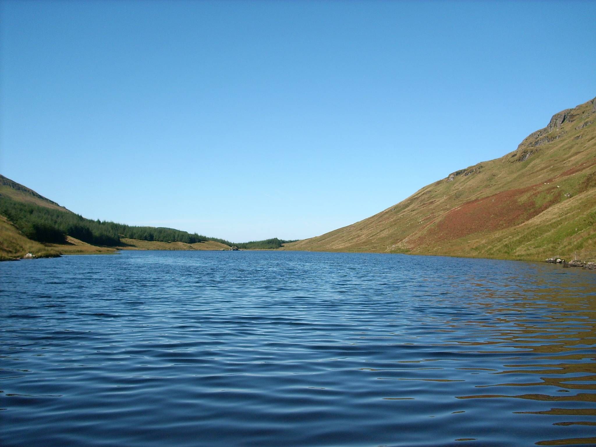
Loch Lomond and Cowal Way — Experience Scotland in 57 miles
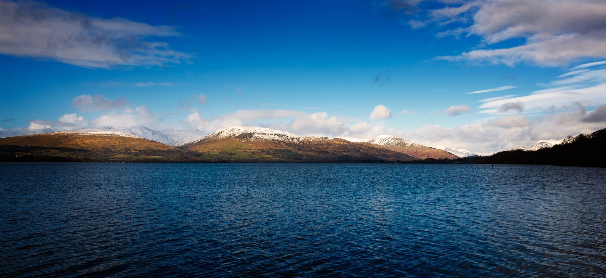
Three Lochs Way — A breathtaking hike from lowlands to Highlands
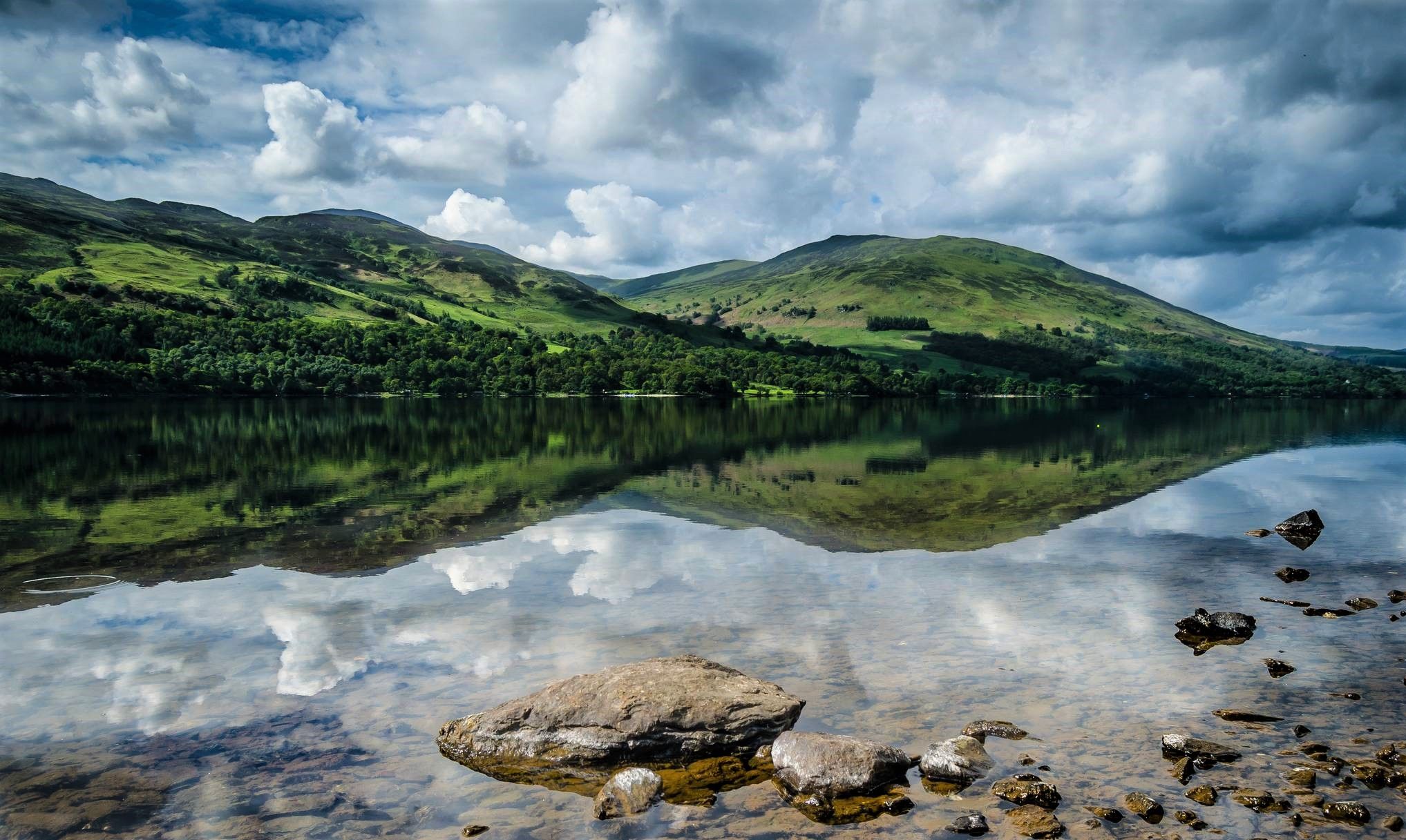
Rob Roy Way — An enchanting outlaw trail for Highland Rogues
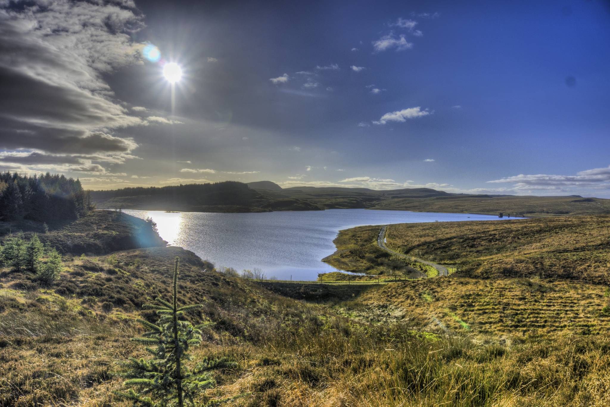
John Muir Way — A coast-to-coast across the heartland of Scotland
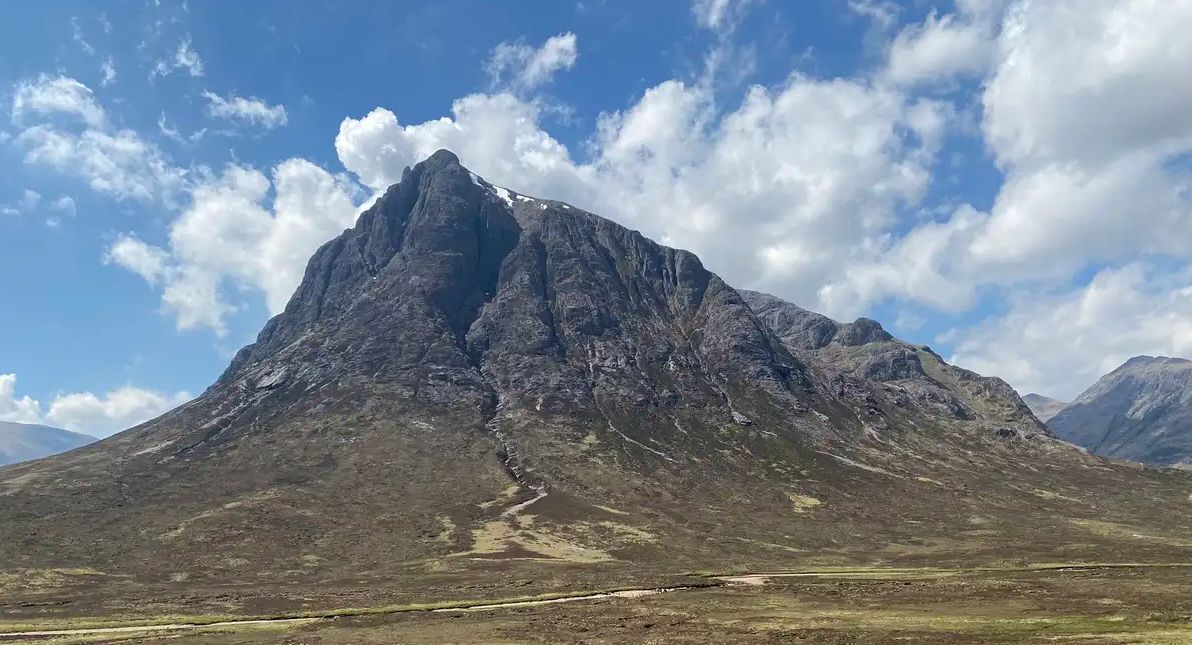
West Highland Way — Hike Scotland's most iconic long distance trail
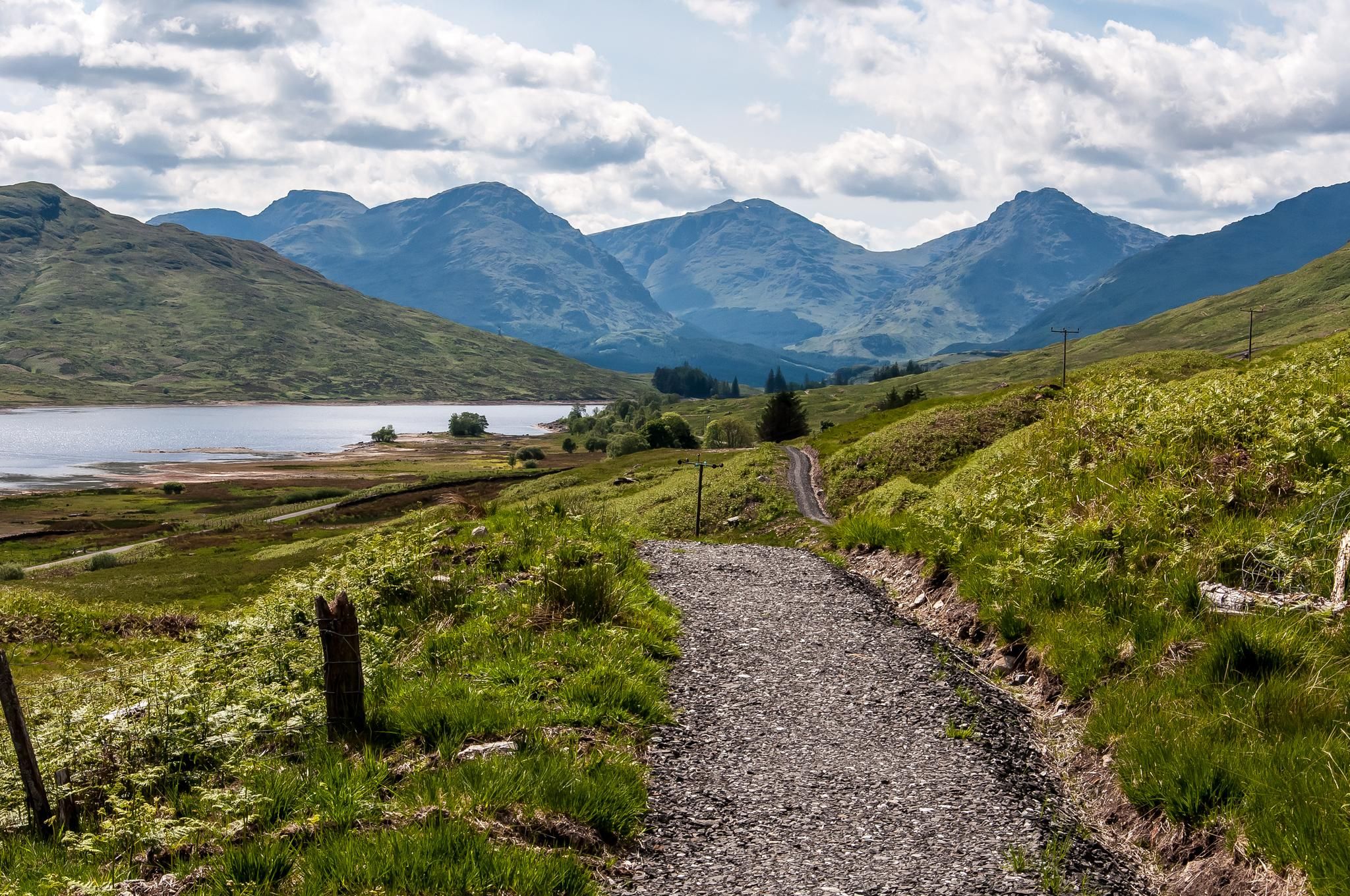
Hike one of Scotland's Great Trails – Great Trossachs Path
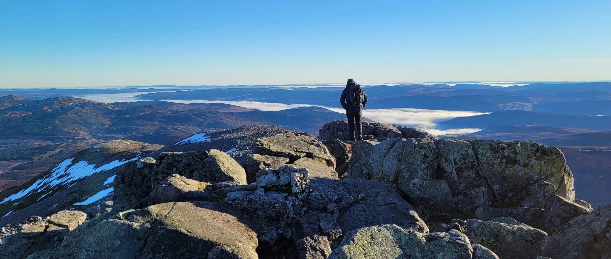
First Ascents – Magnificent UK Hill Walks for Beginners
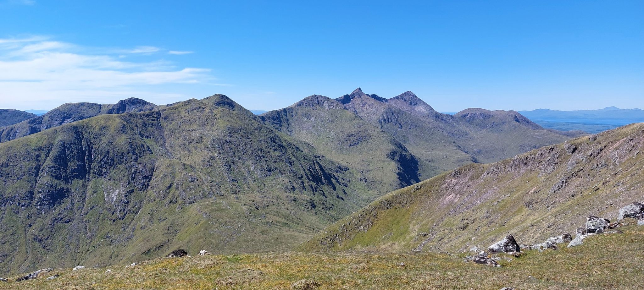
Glorious glens and magical Munros – hiking the Southern Highlands
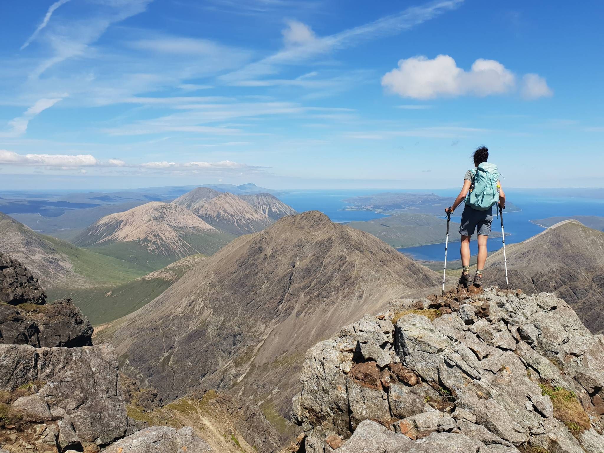
Hiking the 282 munro mountains of Scotland in 95 routes
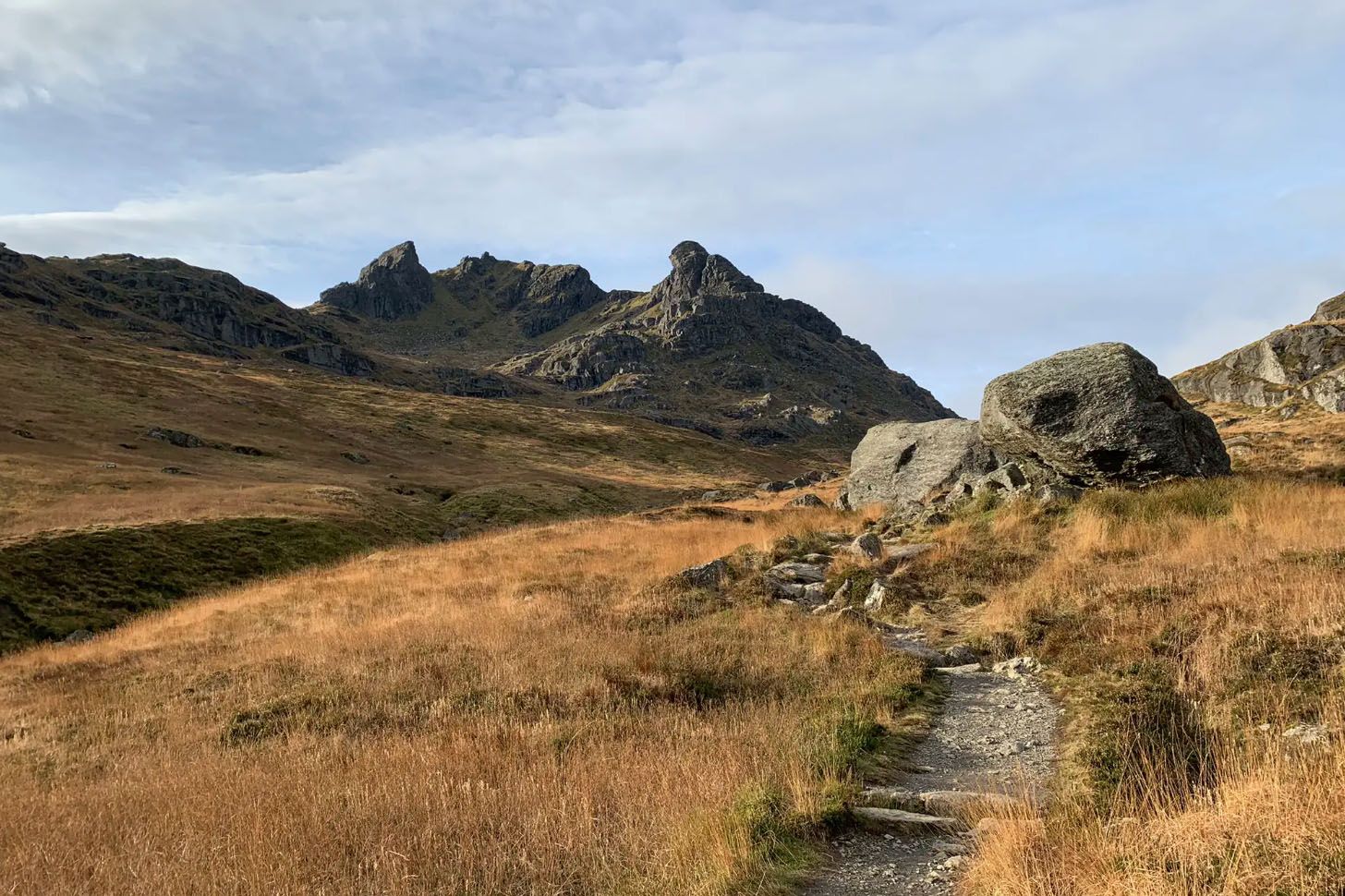
Enchanting hikes in Loch Lomond and the Trossachs National Park
Other adventures in Loch Lomond And The Trossachs


Tips from the Community

Excellent winter route - when it isn't so muddy!
1
0

Balmaha at 19 miles (30.5 km) is the first official checkpoint on the West Highland Way race. On the shore of Loch Lomond, it's accessible by road or ferry. There is a visitor centre, cafés and restaurants. Good spot to run Conic Hill if you aren't running the whole WHW. There is a statue of Tom Weir, staring across the loch. Tom was a lifelong lover of Scotland as well as a writer, broadcaster and climber.
2
0

Started 8:15 at the top for 10:45, took our time ! good path to the top , continued on pitarmigan pathto decend, took a little longer on the way back down but worth it as views were amazing..
1
0


At the base of Ben Lomond and many other walks Balmaha is a beautiful village. The rangers in the visitors centre are very helpful, for West Highland Way walkers I’d recommend popping in for a map with the restricted camping areas on it.
0
0

A very peaceful place with gorgeous views, perfect for enjoying time with our loved ones.
1
0

Nice tour, stone steps but extremely slippery.
2
0

Very nice hotel on the West Highland Way designed for hikers. The attached pub serves excellent vegan chili and many other delicacies. Non-vegan options too 😉
1
0
Frequently Asked Questions
How many hiking trails are available in Loch Lomond & The Trossachs?
Loch Lomond & The Trossachs National Park offers a vast network of over 680 hiking trails. These routes cater to all abilities, from gentle lochside strolls to challenging mountain ascents, ensuring there's something for every hiker.
Are there easy hiking trails suitable for beginners or those looking for a shorter walk?
Yes, the region has many accessible options. There are over 270 easy routes available. For a rewarding experience with stunning views that's suitable for beginners, consider the Conic Hill – UK Hill Walks for Beginners trail, which offers panoramic vistas across Loch Lomond and its islands.
What are some challenging hikes in Loch Lomond & The Trossachs?
For experienced hikers seeking a challenge, the park features over 100 difficult routes. A popular and iconic ascent is the Ben Lomond and Ptarmigan Ridge Trail, which leads to the most southerly Munro and provides expansive views. Another demanding option is the Ben A'an from Loch Achray, known for its steep climb through forested slopes to a prominent peak.
Can I find circular hiking routes in the park?
Yes, Loch Lomond & The Trossachs offers numerous circular walks. These routes are ideal for experiencing diverse landscapes without retracing your steps. For example, the Beinn Dubh horseshoe loop from Luss provides a moderate circular hike with excellent views over Loch Lomond.
Are there family-friendly hiking options in Loch Lomond & The Trossachs?
Many trails in the park are suitable for families. Look for routes designated as 'easy' or 'moderate' that feature well-maintained paths and interesting natural features. The extensive woodlands, such as those in the Queen Elizabeth Forest Park, often have shorter, accessible trails perfect for families.
Are dogs allowed on the hiking trails in Loch Lomond & The Trossachs?
Yes, dogs are generally welcome on trails throughout Loch Lomond & The Trossachs National Park. However, it's crucial to keep dogs under close control, especially in areas with livestock or ground-nesting birds, and to follow the Scottish Outdoor Access Code. Always carry bags to clean up after your dog.
What natural attractions, like waterfalls or peaks, can I see while hiking?
The park is rich in natural beauty. You can discover stunning waterfalls like Bracklinn Falls near Callander, the Falls of Falloch, or the Falls of Dochart. For impressive peaks, consider reaching the Ben Lomond Summit or exploring the Cobbler (Ben Arthur) in the Arrochar Alps.
How can I reach the hiking trails using public transport?
Many villages and trailheads within Loch Lomond & The Trossachs National Park are accessible by public transport. Buses serve key locations like Balmaha, Callander, and Luss, which are popular starting points for hikes. The West Highland Line train also passes through parts of the park, offering access to trails from stations like Arrochar & Tarbet.
Is parking available at trailheads in Loch Lomond & The Trossachs?
Yes, parking facilities are generally available at popular trailheads and visitor centers throughout the park. However, during peak seasons or on busy weekends, these can fill up quickly. It's advisable to arrive early or consider using public transport where possible. Some car parks may charge a fee.
What is the best time of year to go hiking in Loch Lomond & The Trossachs?
The best time for hiking is typically from spring (April-May) through autumn (September-October). Spring brings blooming wildflowers and milder temperatures, while autumn offers stunning foliage. Summer (June-August) is popular but can be busy, and midges can be prevalent. Winter hiking is possible for experienced individuals, but requires appropriate gear and awareness of weather conditions.
What do other hikers enjoy most about the trails in Loch Lomond & The Trossachs?
The trails in Loch Lomond & The Trossachs are highly rated by the komoot community, with an average score of 4.4 stars from over 7,500 reviews. Hikers frequently praise the diverse landscapes, from majestic lochs and towering mountains to ancient forests, and the variety of routes suitable for all skill levels. The stunning panoramic views, especially from peaks like Conic Hill and Ben Lomond, are often highlighted as a favorite aspect.
Are there any long-distance trails that pass through Loch Lomond & The Trossachs National Park?
Yes, the park is home to sections of several renowned long-distance trails. The most famous is the West Highland Way, Scotland's most popular long-distance walking trail, which follows the eastern shore of Loch Lomond. Other notable routes include the Rob Roy Way and the John Muir Way, offering extensive multi-day hiking opportunities.
Where can I experience the Highland Boundary Fault within the park?
The Highland Boundary Fault is a significant geological feature that visibly separates the Scottish Lowlands from the Highlands, running right through the park. One of the best places to observe this transition zone is along the ridge of Conic Hill, where you can clearly see the distinct change in topography and geology.
Most popular routes in Loch Lomond And The Trossachs
Most popular attractions in Loch Lomond And The Trossachs

Get inspired with the komoot mobile app


Explore more
Browse the best Hikes in other regions.
