Top 9 Mountain Passes around Parco naturale della Alta Valle Pesio e Tanaro
Best mountain passes around Parco naturale della Alta Valle Pesio e Tanaro offer diverse terrain within a protected natural area. This region features a landscape characterized by mountain trails, historical sites, and scenic viewpoints. The passes connect valleys and provide routes through varied elevations. Visitors can explore a range of routes, from intermediate trails to more challenging ascents.
Best mountain passes around Parco naturale della Alta Valle Pesio e Tanaro
- The most popular mountain pass is Via del Sale between Col de la Boaria and Rifugio Don Barbera, a trail that offers expansive views. This route is known for its historical significance and varied terrain, including sections with pebbles and stones.
- Another must-see spot is Alta Via de Sel - gravel road, an intermediate trail and cycle way. This gravel road is suitable for mountain biking and provides access to water points at various refuges.
- Visitors also love Duke Pass, a mountain pass and trail. This former military road is now an excellent route for mountain biking, requiring physical effort due to its natural and technical ground.
- Parco naturale della Alta Valle Pesio e Tanaro is known for its historical mountain passes, scenic viewpoints, and challenging trails. The area offers a variety of mountain passes to explore, catering to different levels of difficulty.
- The mountain passes around Parco naturale della Alta Valle Pesio e Tanaro are appreciated by the komoot community, with over 180 upvotes and more than 230 photos contributed.
Last updated: July 10, 2026
Via del Sale between Col de la Boaria and Rifugio Don Barbera
Highlight (Segment) • Trail
Showing Translation
Tip by

Alta Via de Sel - gravel road
Highlight (Segment) • Trail
Translated by Google •
Tip by

Sign up now to discover places like this
Get recommendations on the best single tracks, peaks, & plenty of other exciting outdoor places.
Sign up for free
Duke Pass
Highlight • Mountain Pass
Showing Translation
Tip by

Porta Sestrera
Highlight • Mountain Pass
In April 1944, this area was the scene of the Easter battle between Nazi-fascist troops and Italian partisans. After intense fighting around Pian delle Gorre, the partisans retreated towards Porta Sestrera and from there dispersed, moving towards Carnino and the head of Val Tanaro.
Translated by Google •
Tip by

Saline Pass
Highlight • Mountain Pass
As its name suggests, in the past the Passo delle Saline played a significant role as part of the "Via del Sale" (Salt Road), a route used to transport precious salt from Liguria to the lower Piedmont. This ancient trade route follows a Roman road built in the 1st century BC, which connected Alba to Albenga.
Showing Translation
Tip by
Sign up for free to discover even more mountain passes around Parco naturale della Alta Valle Pesio e Tanaro.
Sign up for free
Already have an account?
Start today with a free account
Your next adventure awaits.
Login or Signup
Popular around Parco naturale della Alta Valle Pesio e Tanaro

GTA South Piedmont — Hiking in Italy's Occitan valleys
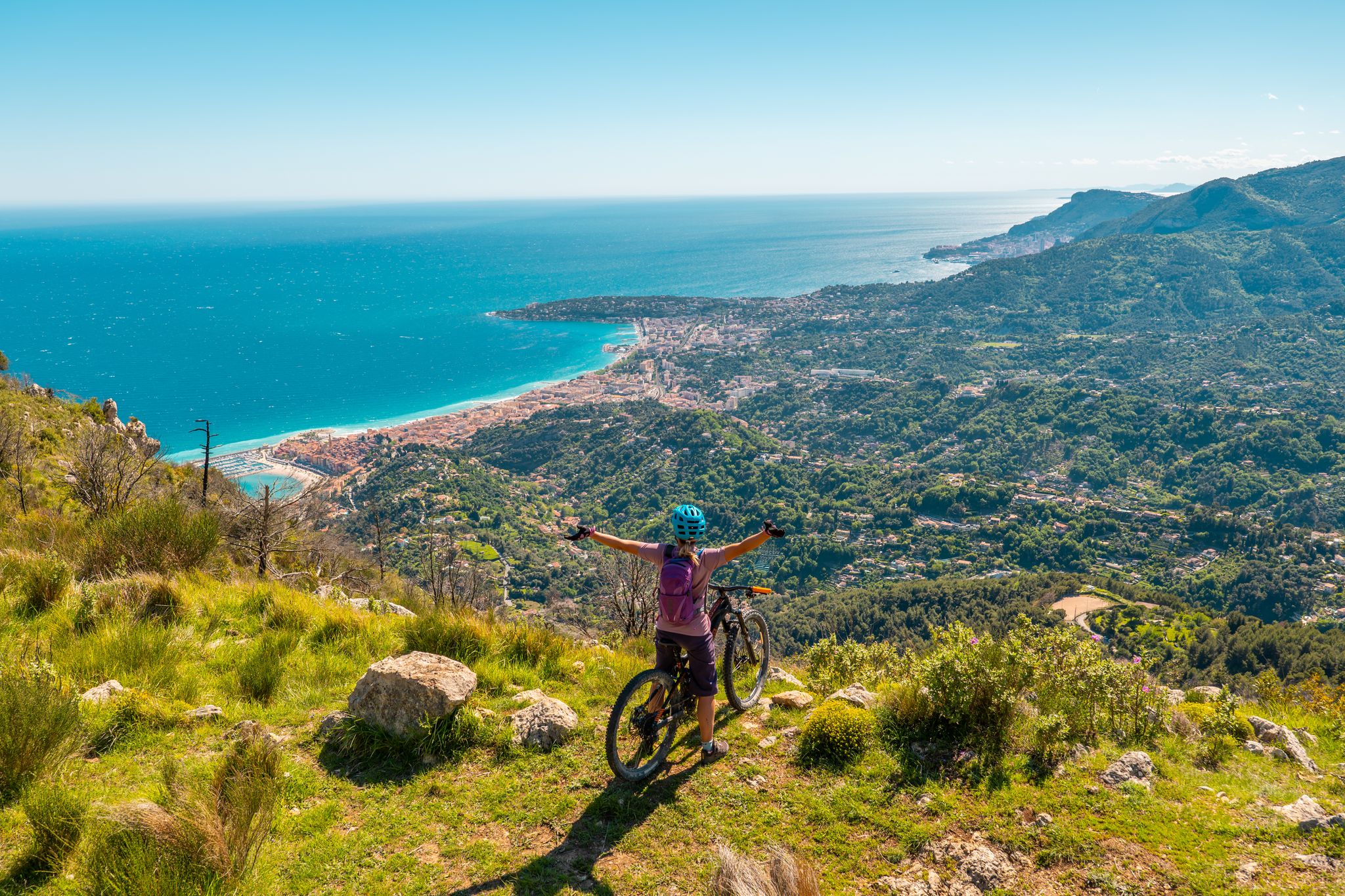
RivierALP – MTB routes from alpine passes to the Riviera
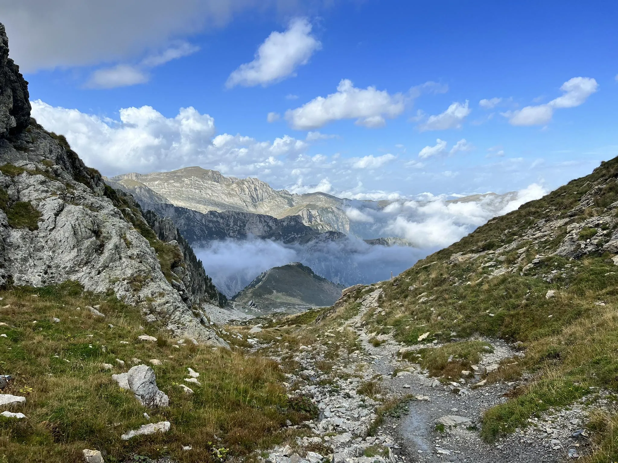
Explore the highest peak in Italy's Ligurian Alps – Giro del Marguareis
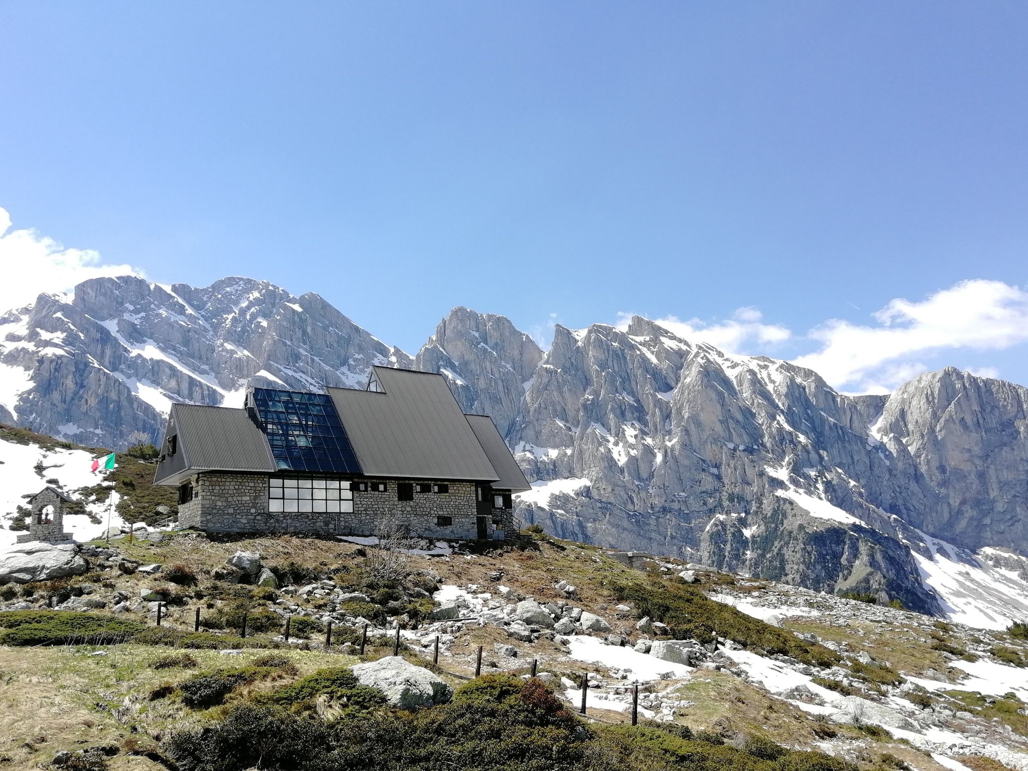
Marguareis Tour – discover caves, ravines and karstic rocks in Italy
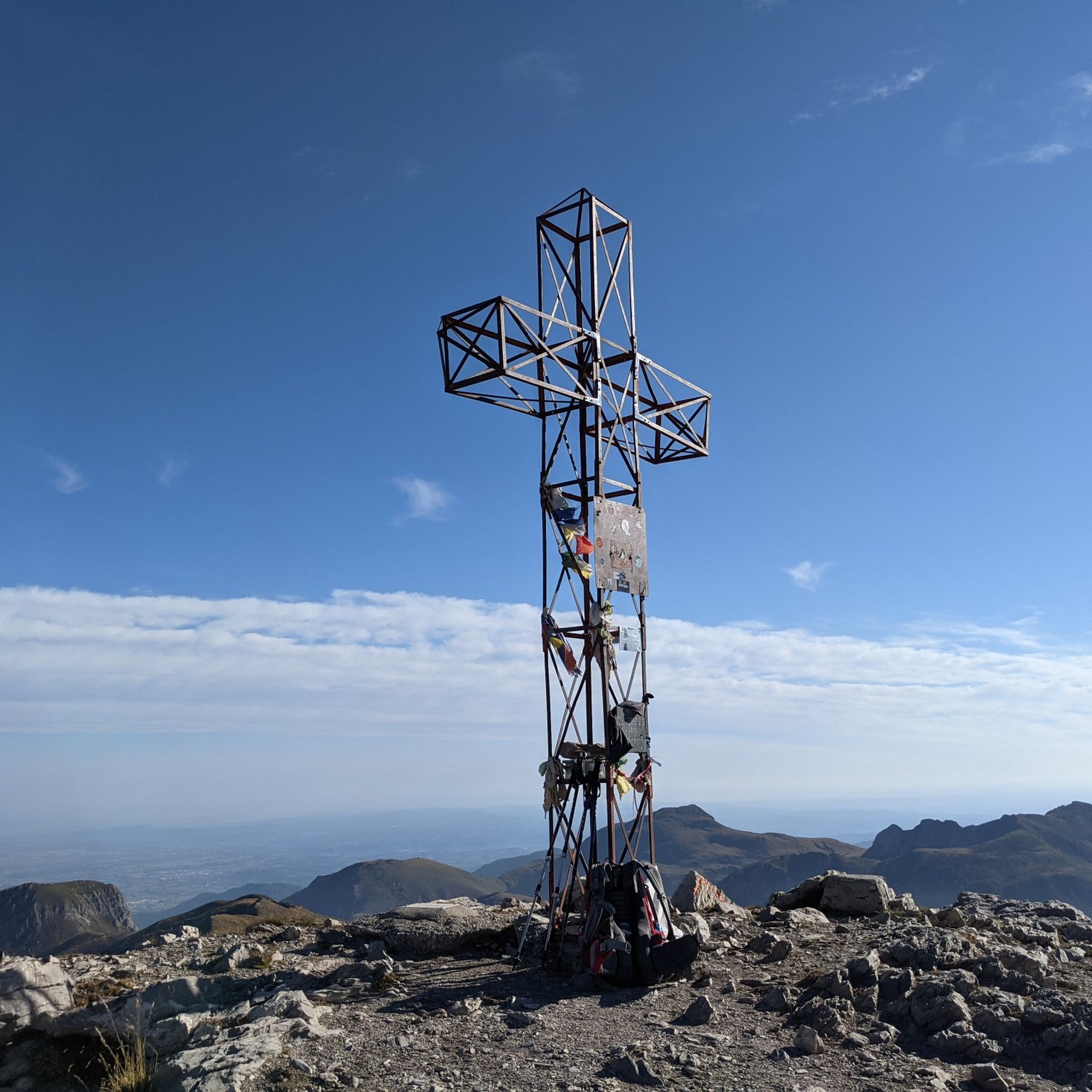
Hiking around Parco naturale della Alta Valle Pesio e Tanaro
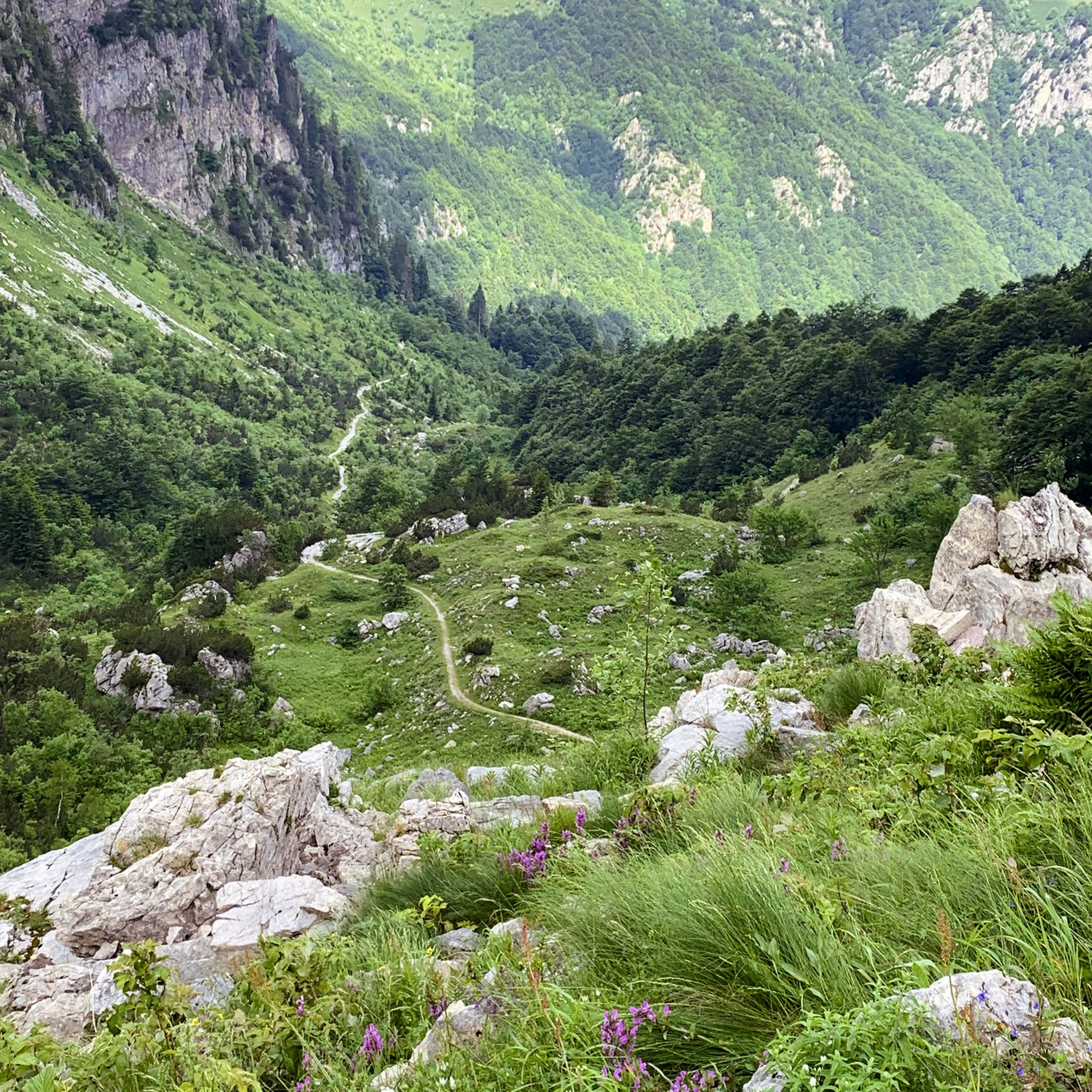
MTB Trails around Parco naturale della Alta Valle Pesio e Tanaro
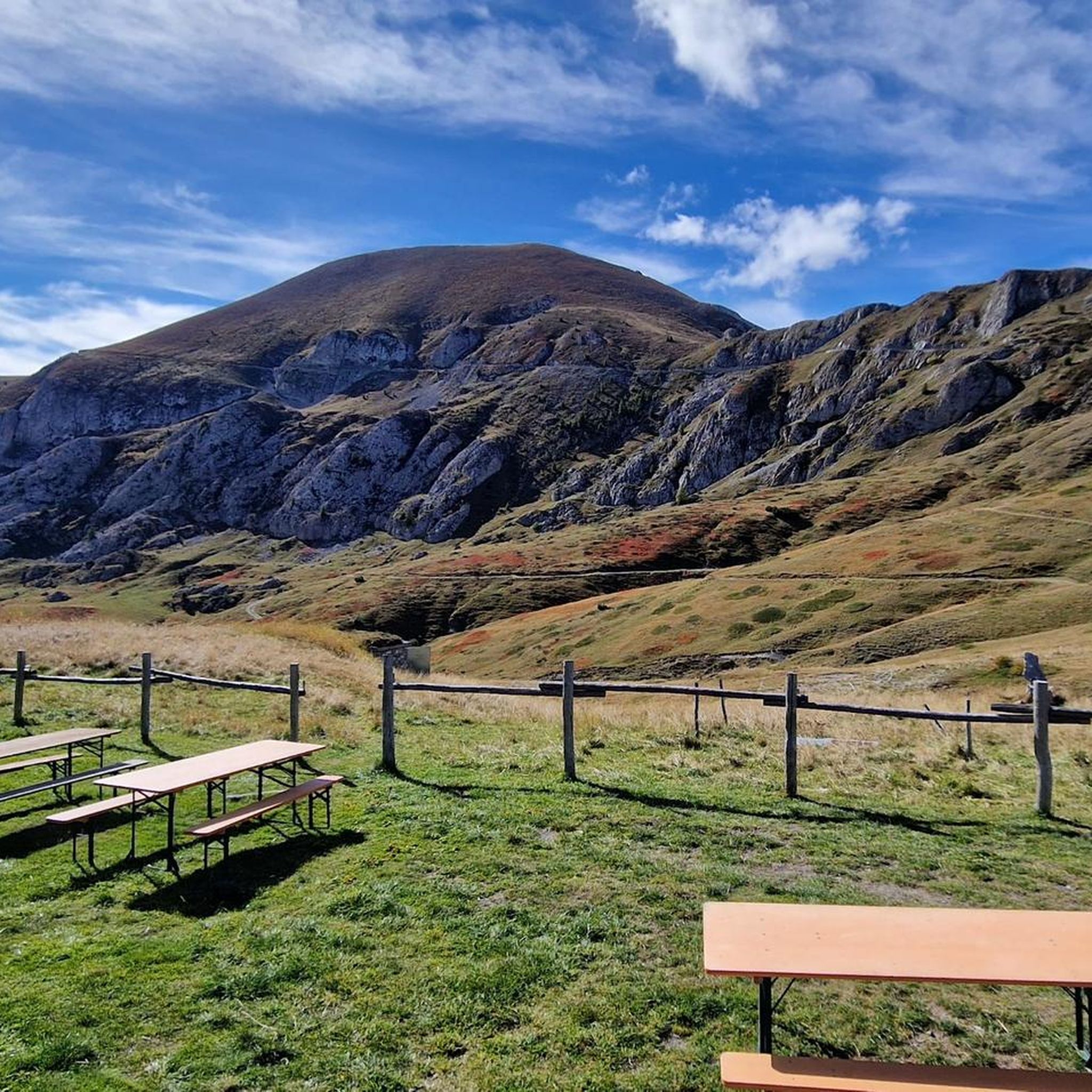
Running Trails around Parco naturale della Alta Valle Pesio e Tanaro
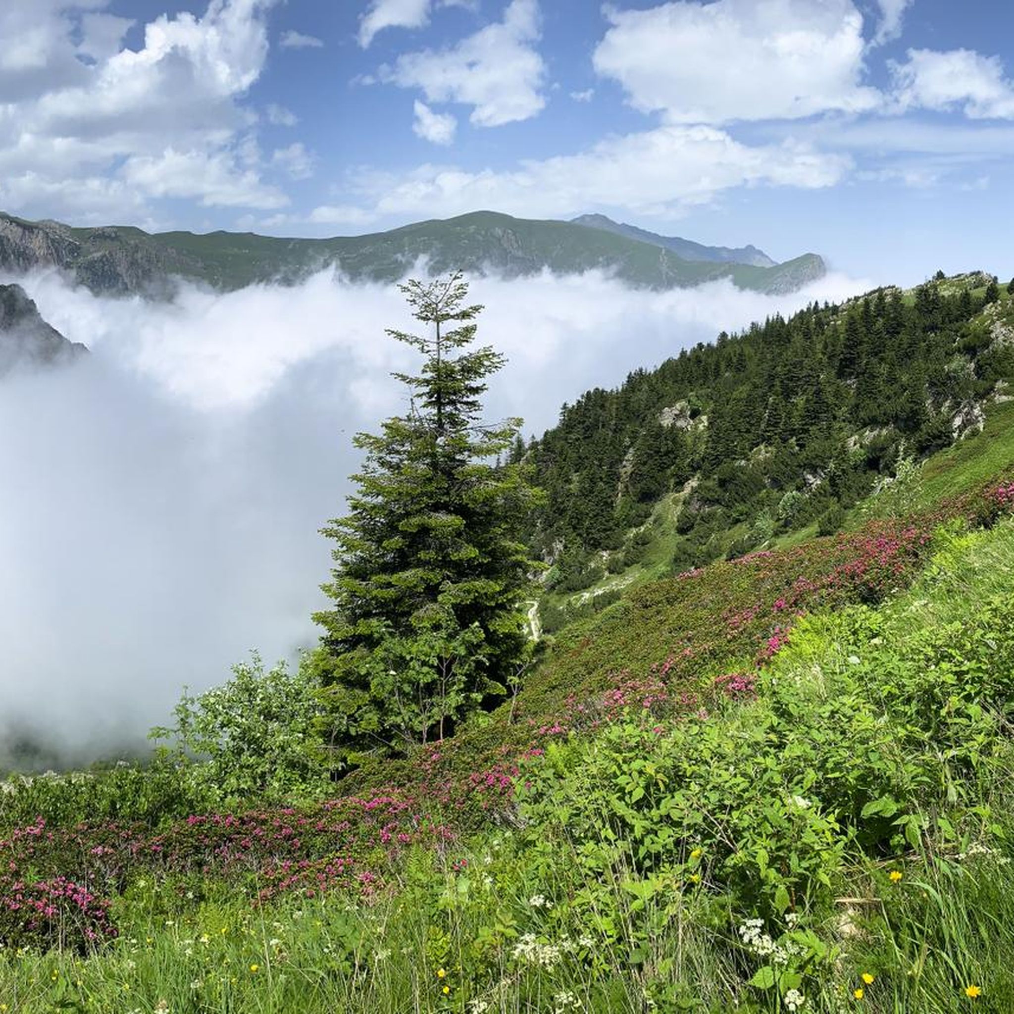
Cycling around Parco naturale della Alta Valle Pesio e Tanaro

Gravel biking around Parco naturale della Alta Valle Pesio e Tanaro
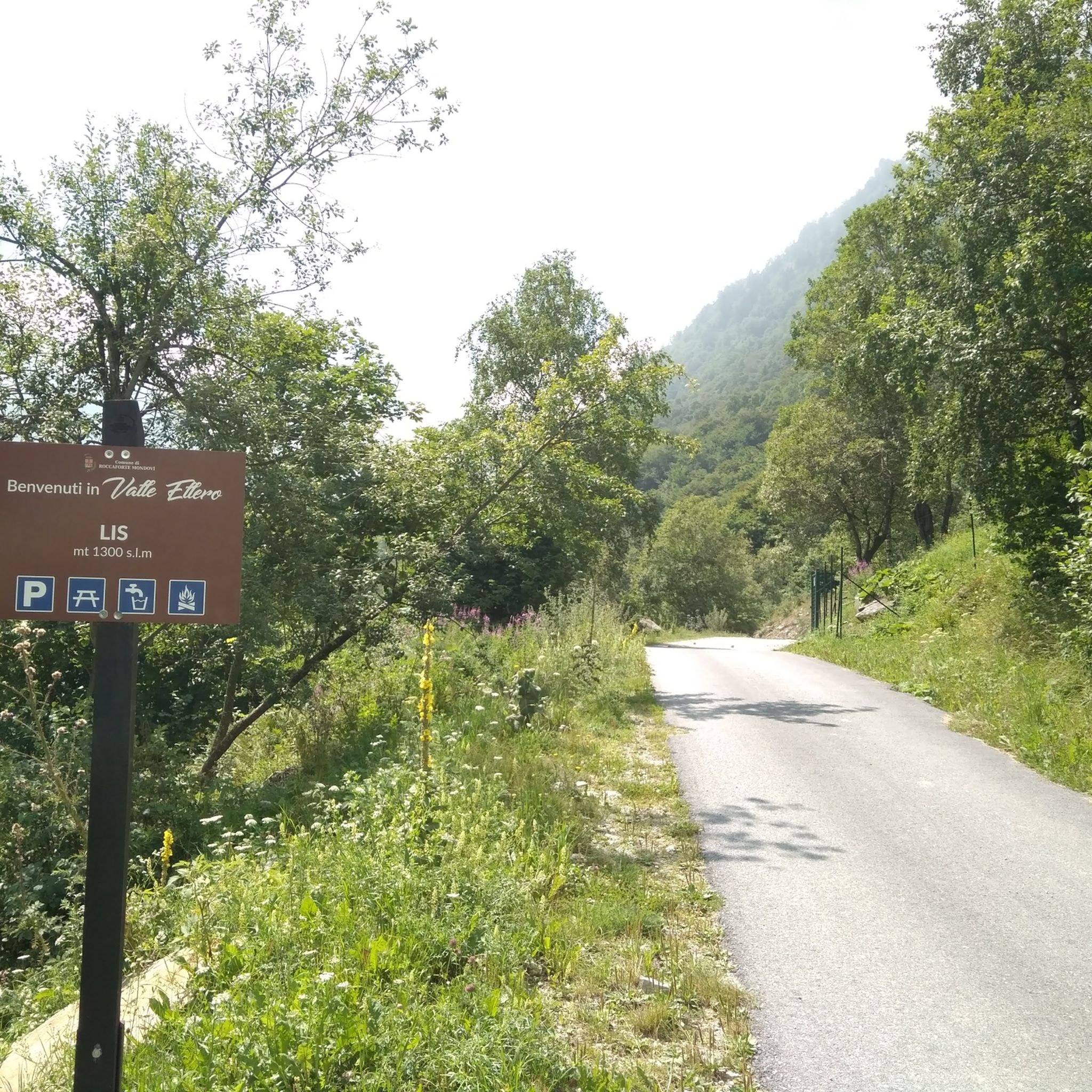
Road Cycling Routes around Parco naturale della Alta Valle Pesio e Tanaro
Other adventures around Parco naturale della Alta Valle Pesio e Tanaro


Tips from the Community

Left home at 7 am, arrived at the Pian delle Gorre refuge at 8:30 am for breakfast and around 8:45 am departure for the tour… and to think that it was supposed to be just the Pis del Pesio loop… but then, arriving at the crossroads, I remembered Tissone's words who had been there just a week before and told me that the Pis doesn't wet, so what do I do, go see a waterfall without water?? No way!! And so off towards the Duca pass… then, arriving from the Duca… it was still early… alright, I got carried away… off towards the Garelli refuge… and back to the Pian delle Gorre refuge… a top day!!! I almost didn't deserve it!!! But that’s it!!! So, a big loop!! But damn me and damn these f…ing loop tours… ahahahah… a very positive first experience!!! I was home at 4:30 pm
0
0
... Duca e Garelli trail … show me the way Started from home at 7, arrived at Rifugio Pian delle Gorre at 8:30, breakfast and around 8:45 departure for the tour… and to think that it was supposed to be just the Pis del Pesio loop… but then, arriving at the crossroads, I remembered Tissone's words who had been there just a week before and told me that the Pis wasn't pissing anymore and so what do I do, go see a waterfall without water?? No way!! And so off towards Passo del Duca… then arriving from the Duca… it was still early… alright then I got carried away… off towards Rifugio Garelli… and back to Rifugio Pian delle Gorre… a top day!!! I almost didn't deserve it!!! But that’s it!!! So loop!! But damn me and damn these fucking loop trails… ahahahah … as a first experience very positive!!! At 16:30 I was home
0
0

An Alpine pass that can be reached quite easily, if you follow the wide mule track that climbs in hairpin bends and that starts from Gias degli Arpi
0
0

Beautiful landscapes immersed in nature. At times it looks like a lunar landscape.
0
0

Highly recommended, stock up on water
0
0
It is the other name to define the Porta Sestrera, which separates the Pesio valley from the Ellero valley
0
0
High point at 2225 metres above sea level that connects the Pesio valley with the Ellero valley, and in about 2 hours of walking the path that passes through here connects the Piero Garelli refuge with the Havis de Giorgio refuge
0
0

As Gian Luca wrote, it's best to drive on Thursdays, otherwise you'll just be swallowing road dust from the vehicles that drive on the gravel. https://youtu.be/zjW_mgeyPfk
0
0
Frequently Asked Questions
What types of mountain passes can I find in Parco naturale della Alta Valle Pesio e Tanaro?
The region offers a variety of mountain passes, ranging from intermediate trails to more challenging ascents. You'll find routes suitable for hiking and mountain biking, often featuring historical significance and scenic viewpoints.
Are there any mountain passes with historical significance in the area?
Yes, several passes have historical importance. For example, Via del Sale between Col de la Boaria and Rifugio Don Barbera is known for its historical context. Another is Porta Sestrera, a former communication route between the Cuneo region and the Ligurian Riviera, which was also a site of historical events in 1944.
What are the best mountain passes for mountain biking?
The area is excellent for mountain biking. The Alta Via de Sel - gravel road is an intermediate cycle way suitable for mountain biking, with water points at various refuges. Another great option is Duke Pass, a former military road now recovered as a challenging MTB route requiring good physical effort.
What kind of views can I expect from the mountain passes?
Many mountain passes in the Parco naturale della Alta Valle Pesio e Tanaro offer expansive and grandiose views. For instance, Via del Sale between Col de la Boaria and Rifugio Don Barbera provides spectacular vistas. Colle del Prel also offers a wide panoramic view over the plain.
Are there challenging mountain passes for experienced hikers or bikers?
Yes, the region features challenging routes. The Porta Sestrera is categorized as challenging. The Duke Pass, while excellent for MTB, requires significant physical effort due to its natural and technical ground.
What outdoor activities can I do near these mountain passes?
Beyond exploring the passes themselves, the region offers extensive opportunities for outdoor activities. You can find numerous mountain hikes, such as the 'Rifugio Piero Garelli loop from Parcheggio Pian delle Gorre', or explore various MTB trails like the 'Chapel of the Olocco – Olocco Chapel loop'. For more details, check out the guides for Mountain Hikes, MTB Trails, and Gravel Biking around Parco naturale della Alta Valle Pesio e Tanaro.
What do visitors enjoy most about the mountain passes in Parco naturale della Alta Valle Pesio e Tanaro?
Visitors frequently praise the grandiose views and the diverse terrain. Many appreciate the historical significance of routes like the Via del Sale and the challenging yet rewarding nature of trails such as the Duke Pass. The presence of water points at refuges along routes like the Alta Via de Sel is also a valued convenience.
Are there any specific tips for navigating the trails around the mountain passes?
Some paths, like sections of the Via del Sale between Col de la Boaria and Rifugio Don Barbera, can be tiring due to pebbles and stones. For mountain biking, it's recommended to visit on Tuesdays and/or Thursdays when roads like the Alta Via de Sel - gravel road are closed to vehicular traffic, making for a safer and more enjoyable ride.
What is the best time of year to visit the mountain passes?
While the guide doesn't specify a single 'best' time, the mention of winter conditions in fan-out queries suggests that warmer months are generally preferred for hiking and biking. However, specific routes might offer unique experiences in different seasons. Always check local conditions before planning your trip.
Are there any natural monuments or unique geological features to see?
Yes, the region features natural monuments. Porta Sestrera is considered a natural monument, known for its specific type of clayey, flaky rock. Colle del Prel is also listed as a natural monument.
Can I find loop trails around the mountain passes?
Yes, the nearby hiking and biking guides indicate the presence of loop trails. For instance, the 'Rifugio Piero Garelli loop from Parcheggio Pian delle Gorre' is a challenging mountain hike. You can explore more loop options within the Mountain Hikes and MTB Trails guides for the region.
Most popular routes around Parco naturale della Alta Valle Pesio e Tanaro
Most popular attractions around Parco naturale della Alta Valle Pesio e Tanaro

Get inspired with the komoot mobile app


Explore more
See even more epic mountain passes by checking out these guides around Parco naturale della Alta Valle Pesio e Tanaro:
